From the [A4] Turin-Milan motorway, near the Biandrate exit, take the [A26] Voltri-Gravellona and follow it to the end towards Gravellona, where you continue following the signs for Domodossola and the state border. After a few more kilometres you cross the Simplon Pass and after a few minutes' descent you reach the village of Rotwald. The car can be left on the Simplon road in front of the Posta bar, which is on the right as you descend, or at the car park, which is a little further on on the left in front of a restaurant.
.
Introduction
The slopes above Rotwald are a magnificent balcony stretching from the Simplon hospice to the mountains on the southern side of the lower Valais that crown Brig. The exposure is to the north and it must be considered that the outward journey, taking place almost entirely in the shade, is carried out in a cold environment, as the Simplon area is also often windswept. Attention must be paid to the steep ascent of the final collar and to the ridge, which, in addition to the verglass caused by the wind, may have a few frames.
Description
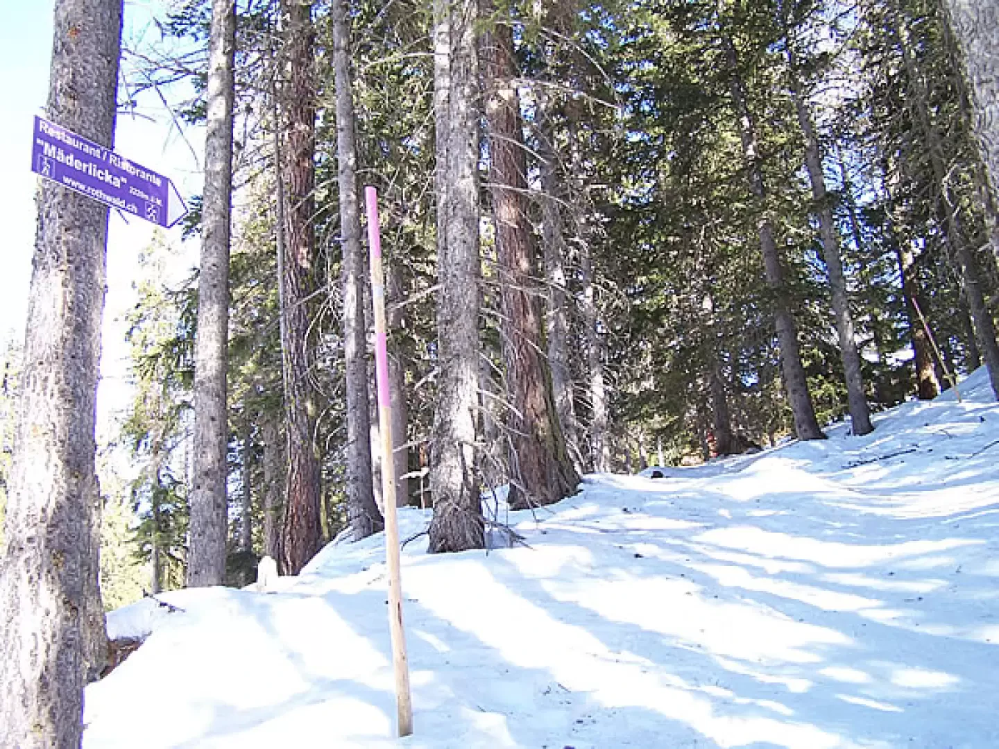
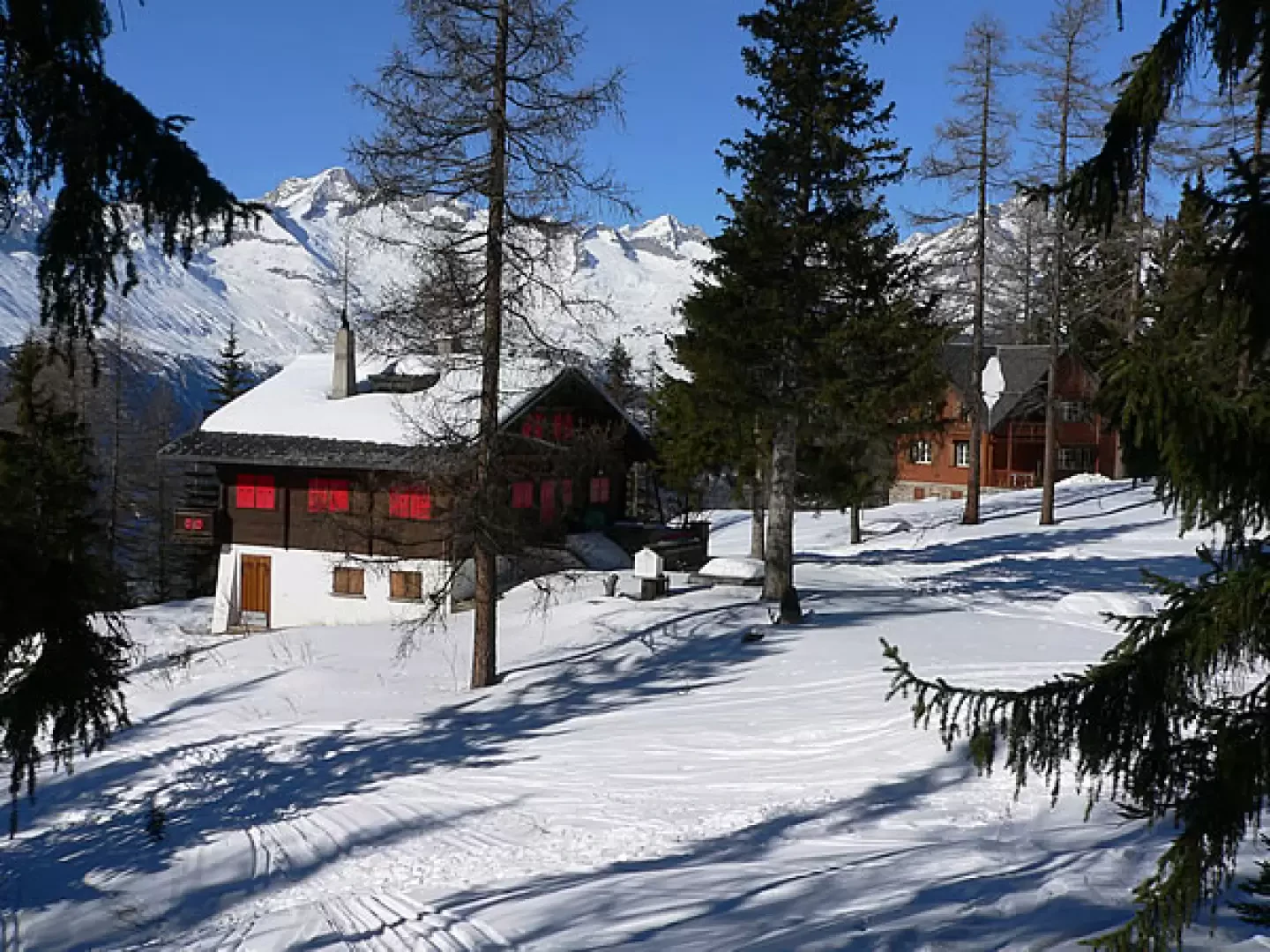
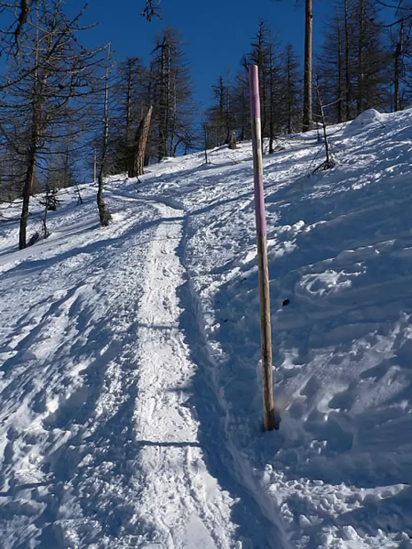
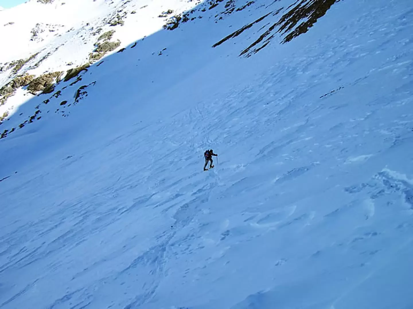
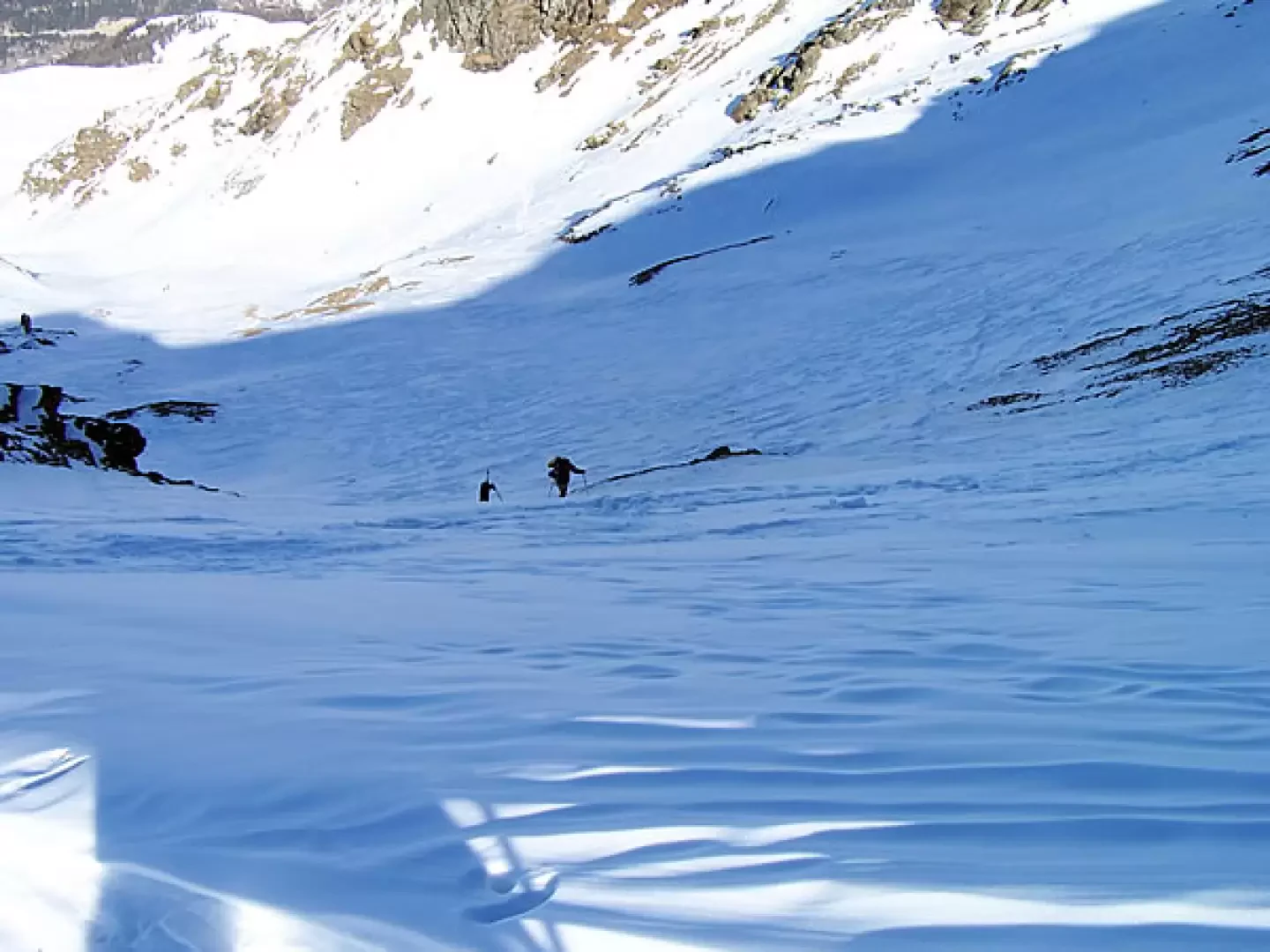
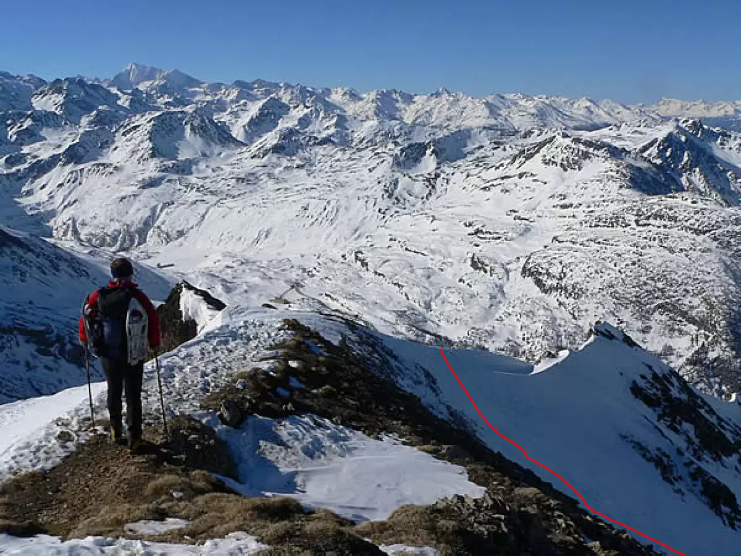
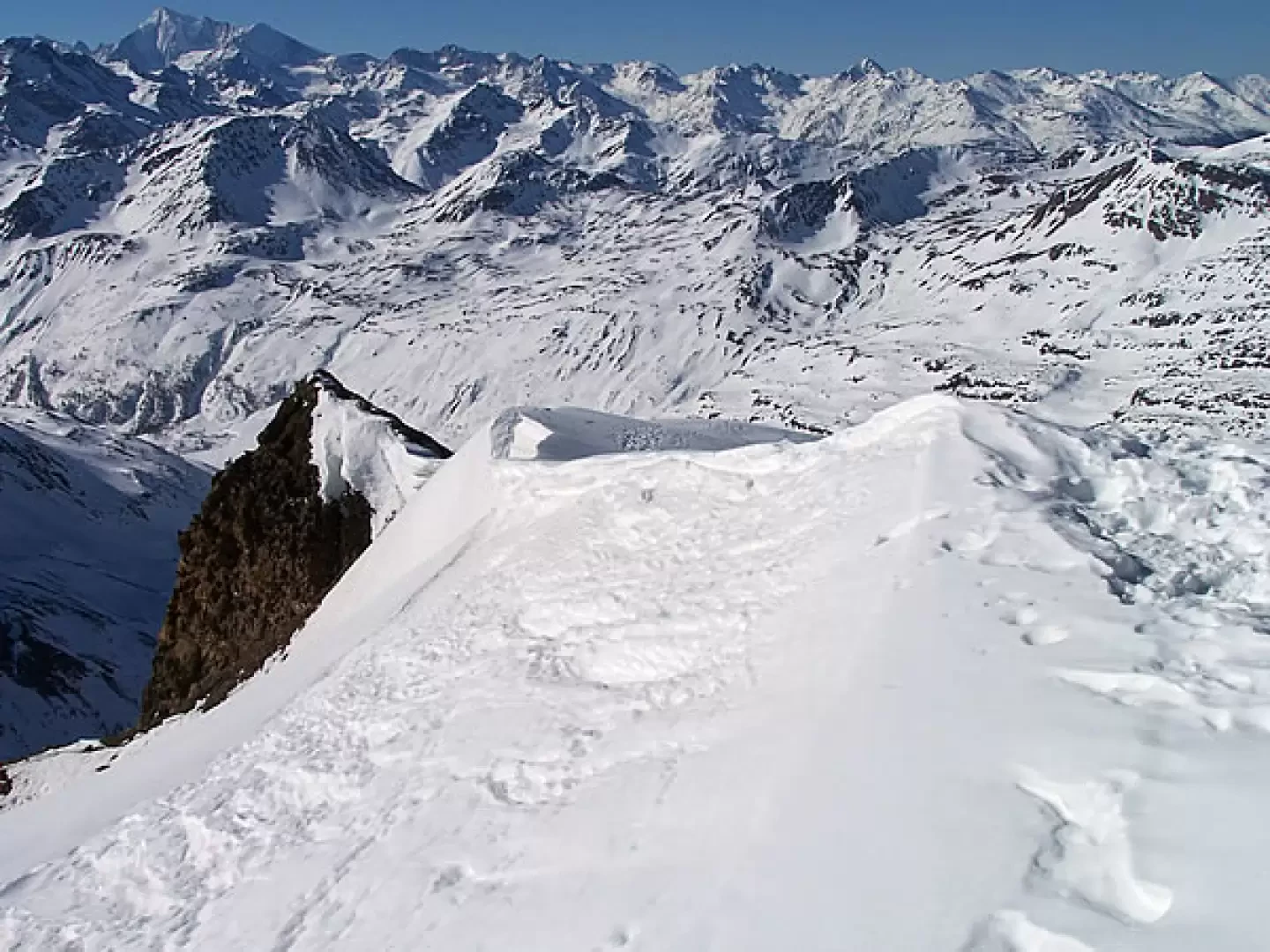
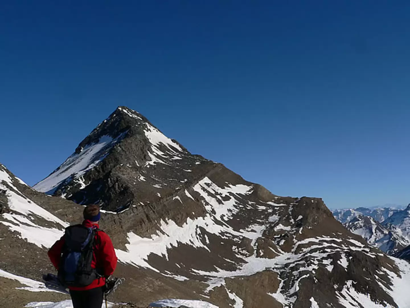
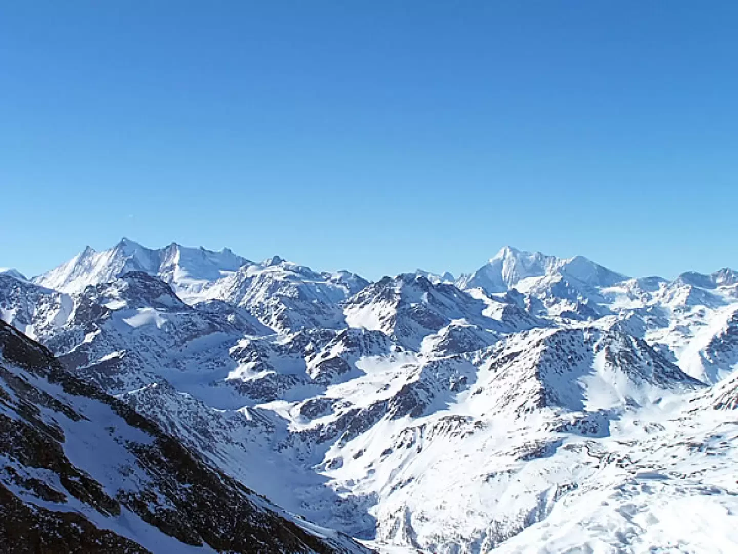
From the left-hand side of the Posta bar, head towards the start of the "anchor" and follow the end of the ski slope for a few metres until you come to a fork in the road on the right, from where a well-trodden forest track branches off with the signpost for the "Maderlicka" restaurant. Walk up the forest of evergreen conifers and larches, following the wooden marker posts with violet stripes, cross a farm road and in a few minutes you will reach the quaint village of Wasenalp. Climbing steadily upwards through the beautiful forest, the trail crosses the road again, a couple of times the ski slope and also the path of the anchors; all without ever being in danger of taking a wrong turn, which is also always well marked by the posts. The track through the wood, which is becoming increasingly sparse, now increases in gradient without ever becoming excessive and, after numerous turns, we reach the arrival of the ski lifts, from where we can enjoy a stupendous panorama of Brig and the mountains that frame it. From here we head south and, after passing by the signposts indicating the direction, make a semicircle to the right and, passing a few bumps, head towards the two valleys in front of us. Without taking an obligatory route, we follow the few ups and downs at the points of lower gradient and then deviate gradually to the left, passing close to the lower edge of the not very wide right-hand gorge; crossing now in a false level decidedly to the east, we arrive at the centre of the wider gorge that culminates with an evident collar and, following its crest to the right, with the destination of our excursion. From this point, the slope will increase more and more and, proceeding in zig-zags, we keep mainly to the left (orographic right) of the valley where the slope of the traverses will be less steep. Then, making somewhat exposed traverses, we move towards the centre, aiming decisively at the summit col and, climbing in increasingly narrower hairpin bends, we arrive at a point where the slope can no longer be overcome with poles on our feet and therefore, after taking them off, we have to climb laboriously to overcome the last fifty metres that separate us from the upper edge. When you reach the col (depending on the snow conditions, consider whether to put snowshoes on), continue along the ridge on the left, paying attention to any small cornices or snow frozen by the wind that is almost always present in this region. There is an up and down climb to an anticima and you soon reach the summit on which there is a small pyramid-shaped cairn of stones. The panorama sweeps from the nearby Punta di Terrarossa and Monte Leone to the more distant Fletschorn, Mischabel and Dent Blanche, to the Oberland and beyond: 360° of snow-covered mountains! The descent is made by retracing the ascent route. The ascent to the arrival of the lifts is safe and very well signposted, and can also be done after a snowfall: at the very least, you can follow the track instead of going up through the forest. For the part that concerns the ascent into the valley and up to the col, it is necessary, in addition to consulting the avalanche bulletins, to assess the condition of the snowpack on site, which in these areas is considerably reworked by the wind, forming heaps with crusts that are not always load-bearing, and so one can easily find oneself in situations such as making a few metres on compacted snow and immediately afterwards a few more in which one sinks quite a bit. The last part of the ascent must be done with very well compacted snow, even for the steep descent from the slope that we must retrace on the tracks of the outward journey.
gita organizzata dalla Guida Alpina Giorgio Giudici (www.montagnaenatura.it). Giornata straordinariamente serena e calda per il perido. Il sole ha trasformato la neve in tempi molto brevi, nonostante l'esposizione. Gita relativamente breve ma di soddisfazione.


Comments (0)
Sign in to leave a comment