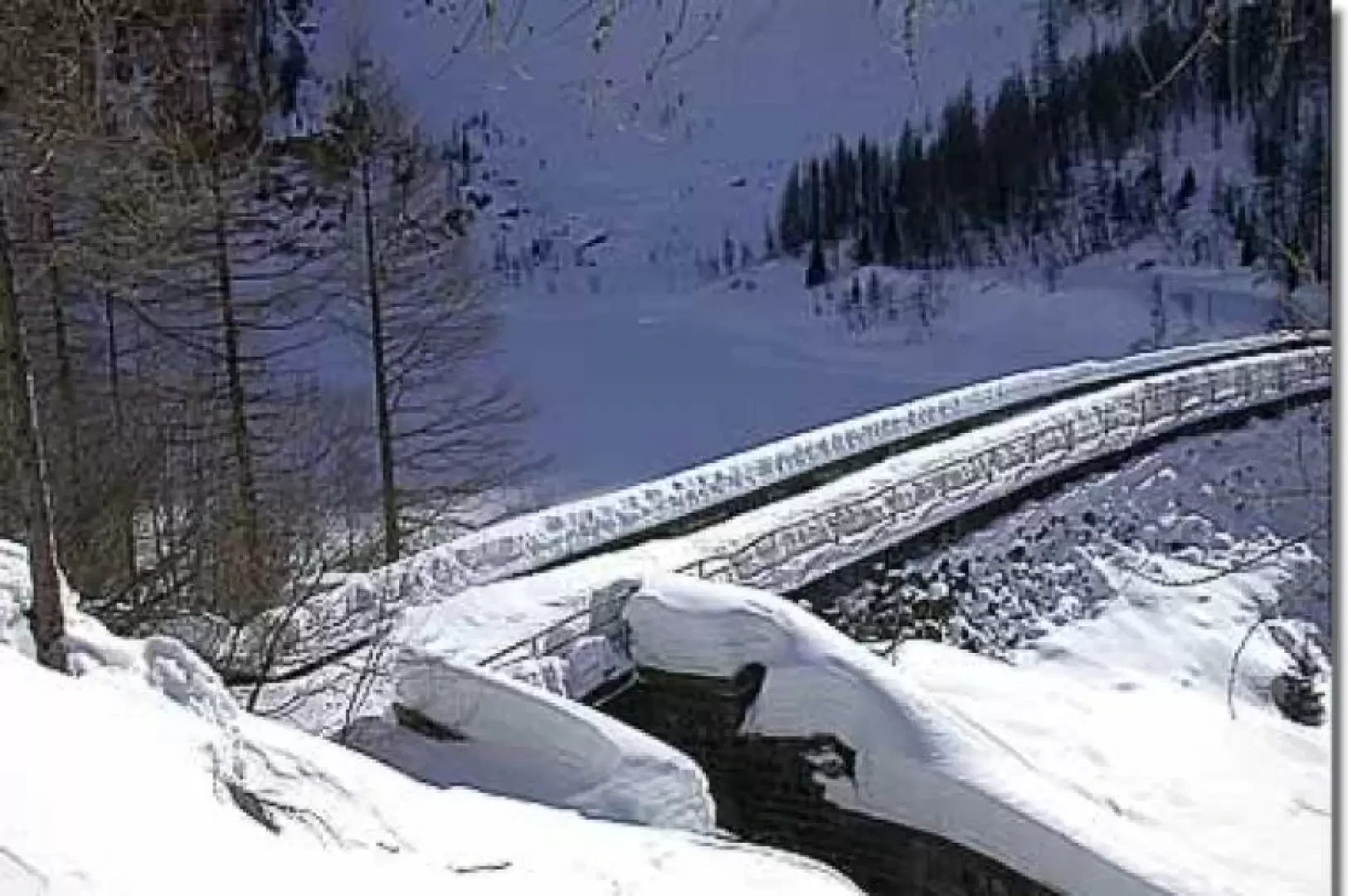
Lake Vargno, from Pillaz

Introduction
Interesting excursion within the Mont Mars Nature Reserve; it does not present any particular difficulties and has no obvious objective dangers, so it can also become a valid destination for those who are trying snowshoeing for the first time.
Description
Parking the car, you can immediately put on your snowshoes: from the prohibition onwards, the route is usually snow-covered. Take the farm road that climbs the Pacoulla torrent valley with a slight gradient, and set off through a forest of larch and silver fir along a long straight stretch. After about fifteen minutes, the road first turns left and then, at the height of some retaining walls made of tree trunks, makes a slight bend to the right: in a few minutes you reach a first fork (1420m, 0h25'): ignore the small road that branches off to the right (leading to Pian Courmarial and the Rifugio Coda) and continue straight on. The route enters the forest, from which the antennas on the opposite side of the valley can be seen: tangible traces of another way of experiencing the mountains.
In a short time, after another straight stretch, you reach a second crossroads (1465m, 0h40'): ignore the diversions to the left and continue straight on, following the signs for Lake Vargno. From here the itinerary begins to climb with a little more intensity. You pass a small oratory and, after a very short descent, at the height of a 'hanging' boulder you begin to climb again. This is the most tiring section of the itinerary, the ascent is on average steeper although certainly not particularly strenuous; after skirting the ice-covered Pacoulla torrent, the road takes on height with a series of rapid hairpin bends that slowly lead us around a promontory to the right. At the end of the hairpin bends, the view of Punta Gragliasca (2,337 m) opens up before us and we continue along a straight stretch until we come to a small bridge (1,665 m, 1h 20'), which we must cross to get to the orographic right of the stream.
Following the stream, you quickly reach the slightly sunnier part and climb the slope towards the mountain pastures above: it is still worth turning back and enjoying the beautiful view of the Dames de Challand, La Becca di Vlou (3032m) and Becca Torché (3016m) and Mont Voghel (2925m). We climb up the short ridge towards Alpe Mattà and, in a few minutes after ignoring the junction for Col Gragliasca (signpost), we reach Alpe Vargno (1712m, 1h30') and the lake below with its dam.
We are now in the middle of the Mont Mars Nature Reserve and, in addition to enjoying a splendid view of Mont Mars itself, it is not unusual to encounter wildlife: from deer to roe deer.
The descent follows the same itinerary as the ascent.
We recommend tackling this excursion after having carefully assessed the weather and snow conditions. The route runs partly within the Mont Mars Nature Reserve: interesting encounters are possible, but remember to respect the animals and plants you encounter. Finally, it is worth taking a look at the houses of Pillaz.... for lovers of things d'antan.
.Riferimenti Bibliografici
- Tracce Lievi - Martini Massimo -