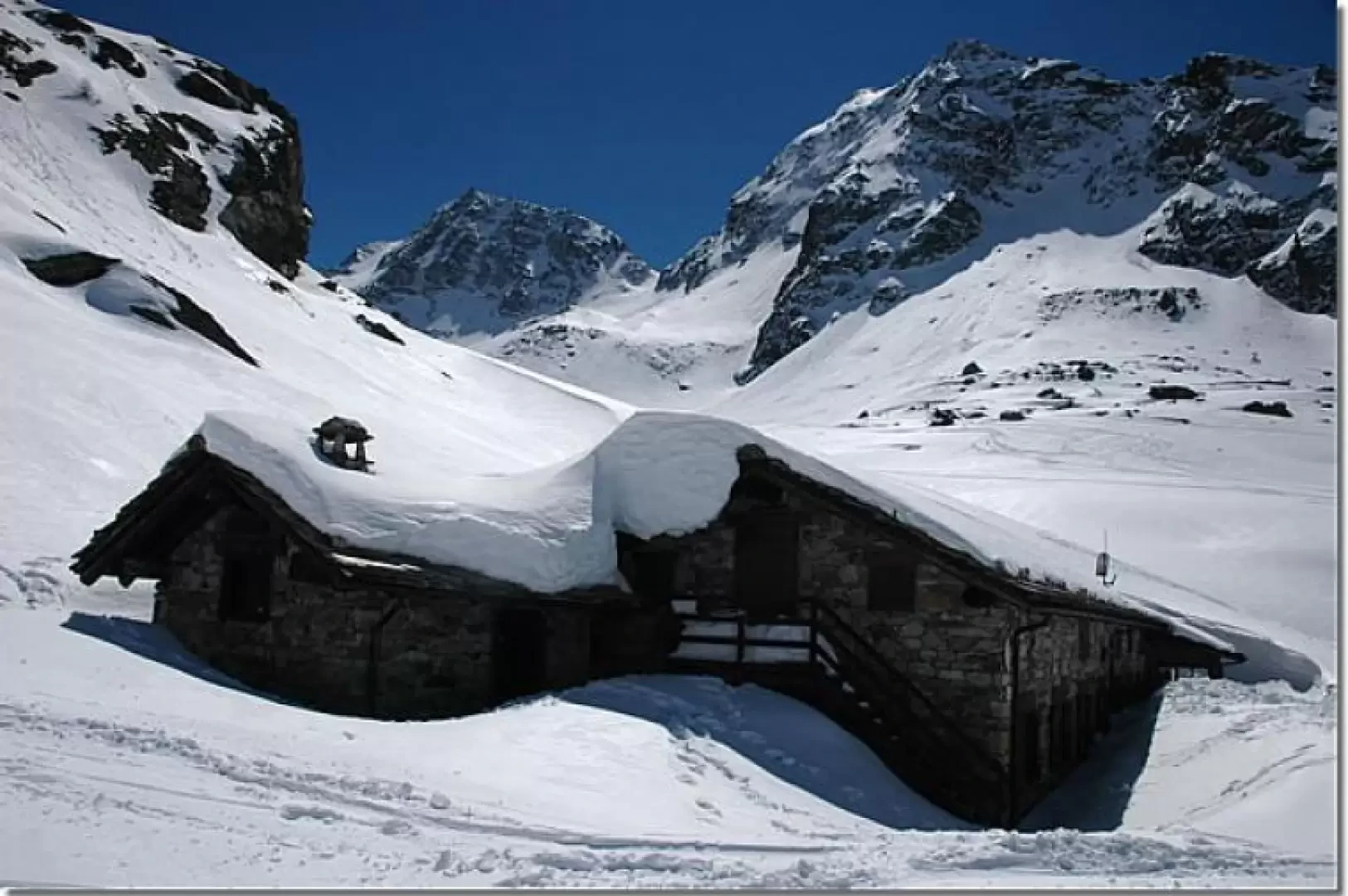
Chalet de l'Epée refuge, from the Valgrisenche dam car park

Edited by:
Massimo Martini
Updated at: 23/03/2025
Introduction
Spring itinerary to be coupled with the opening period of the hut: you can enjoy the suggestive location of the hut with the friendliness and courtesy of the managers.
Description
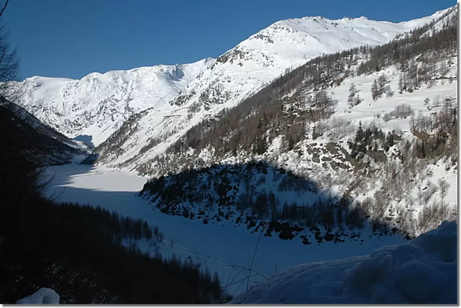
Leaving the car behind, we set off along the little road that leads to Usellières, skirting the Beauregard reservoir. The first part of the route is almost flat and, after passing under a tunnel carved into the rock, you reach the junction for Rocher (1775 m, 0h20) and from here the start of the climb.
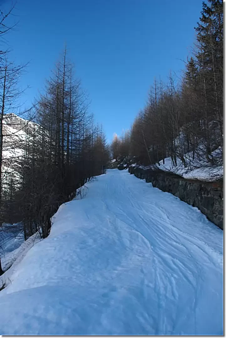
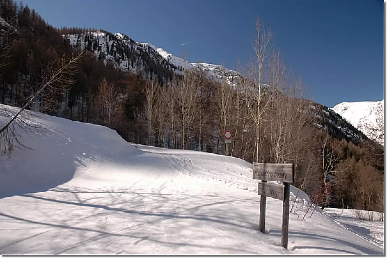
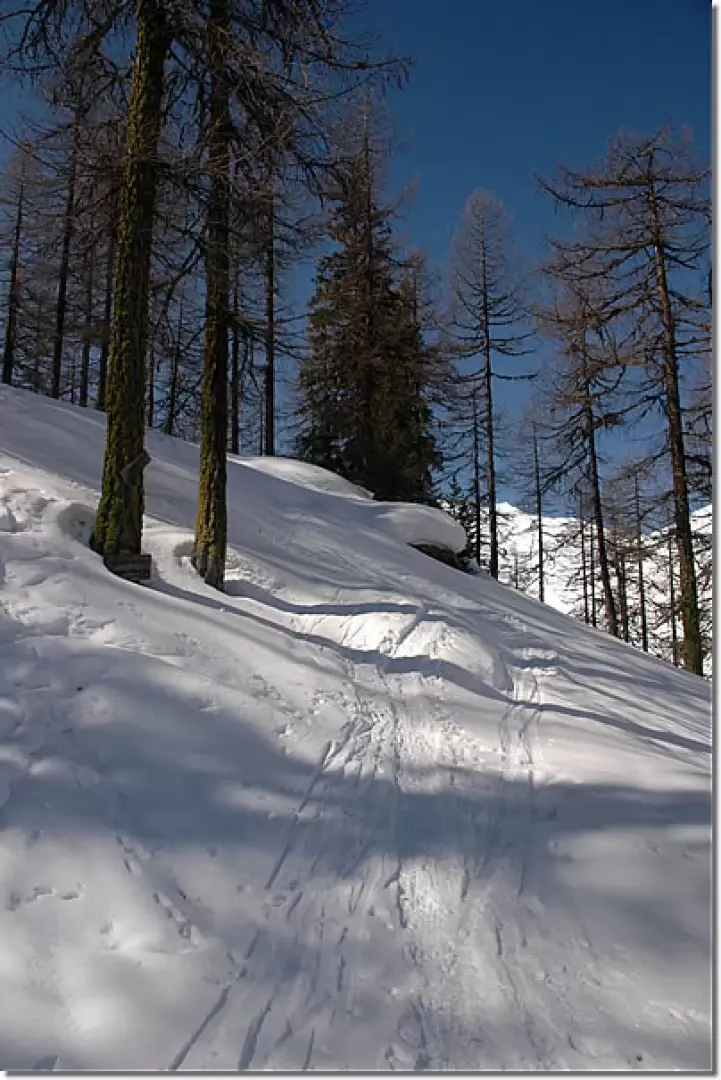
We turn left and begin to climb up a snowy track often beaten by ski mountaineers on their return journey; after four hairpin bends we reach a crossroads (1854 m, 0h30): we turn right and follow the signs for Plontaz and Quattro Denti (the Becca dei... n.d.r.). The trail enters the forest, predominantly with larch (Larix decidua), along a long, almost straight stretch; after having passed an avalanche accumulation, you reach the splendid clearing below the abandoned Bouque pastures (1922 , 0h45'), which you reach after having made a wide left turn. Once past Bouque, go back into the forest and climb up the ridge with a series of hairpin bends until you reach the junction for the Refuge (2010 m, 1h00'): follow the signs for l'Epée, leaving the little road taken up to this point.
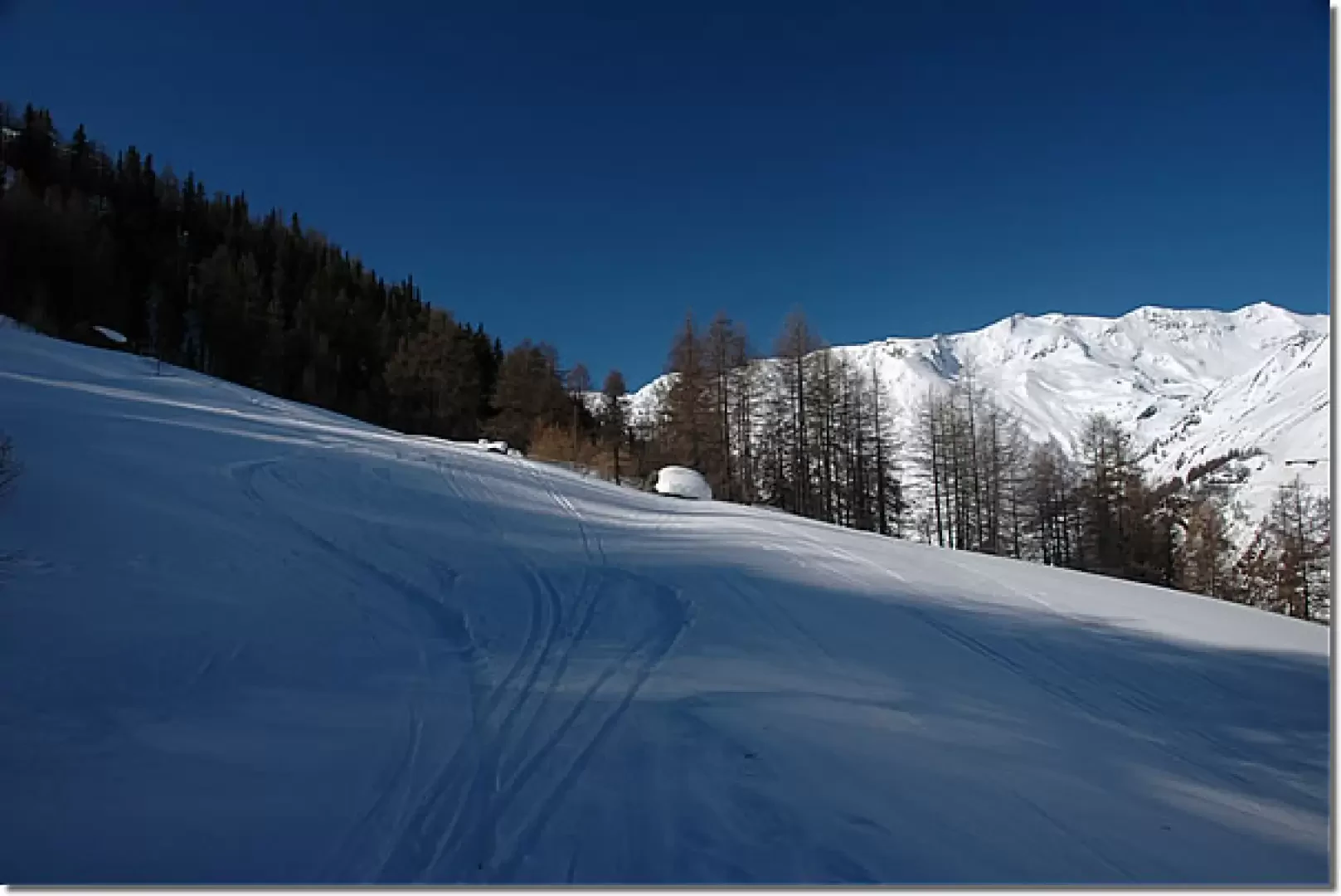
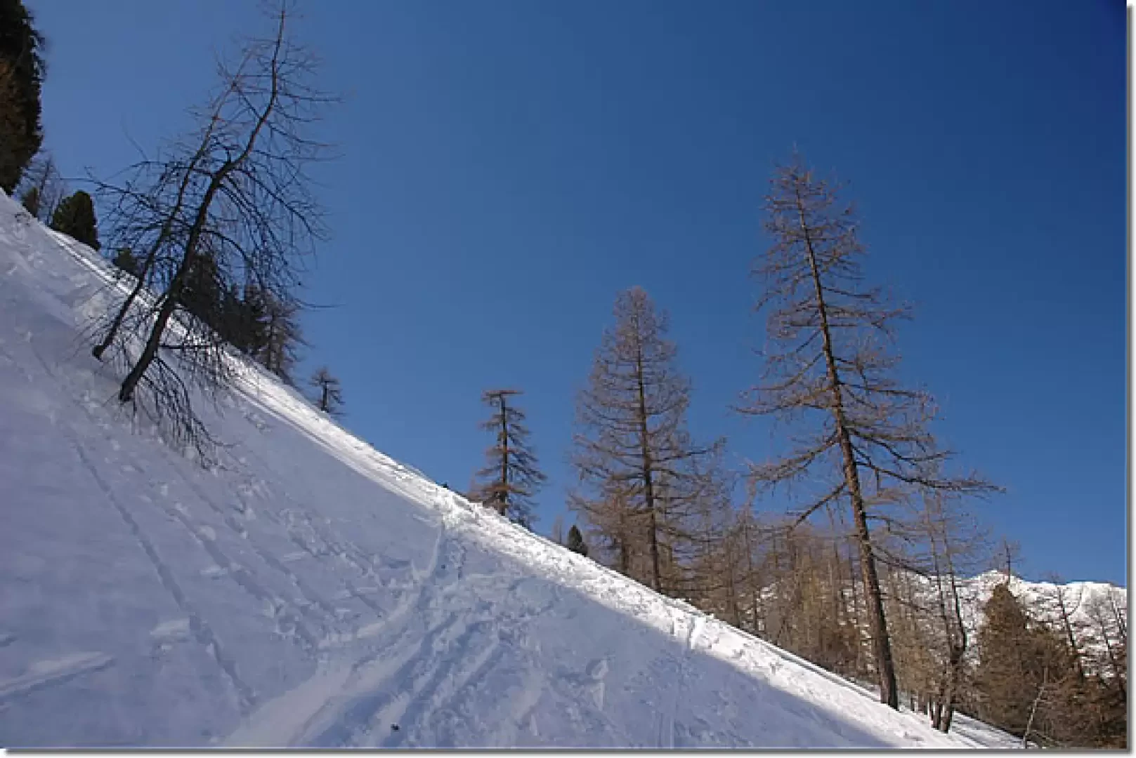
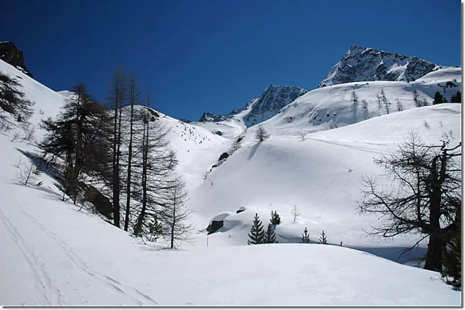
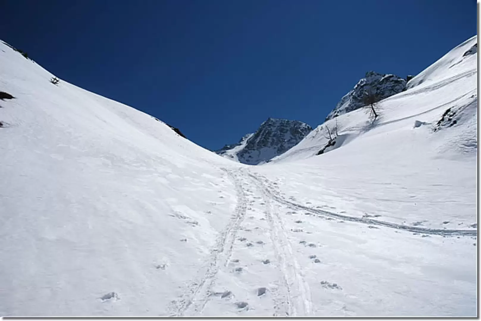
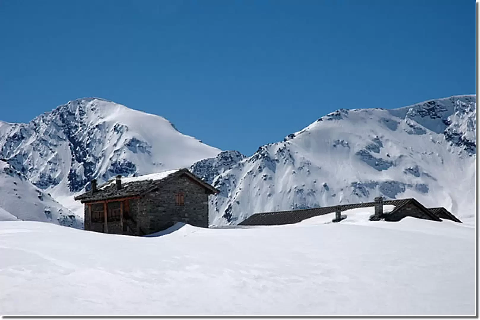
Following the track, which is normally present, you enter the Bois de Mugner in the presence of imposing larches and a few sparse spruces (Abies picea). This slightly uphill stretch alternates between easy plateaus and a few traverses that are not very comfortable to negotiate; slowly you begin to circumvent the slopes of the Truc de la Seyaz, emerging from the forest in view of the summer road that climbs up from Usellières. Another short stretch halfway up the slope enters the snowy bed of the Torrent de Bouque to be climbed to the foot of Epée (2345 m). You are now within sight of your destination, walk across the plateau below and finally reach the Chalet de l'Epée hut (2370 m, 2h30').
From the hut, you can enjoy a splendid panoramic view of the entire mountainous coastline of the Western Valgrisenche, from Becca Souessa to Rutor.
The return route is the same as the outward journey (1h 30').
Curiosity
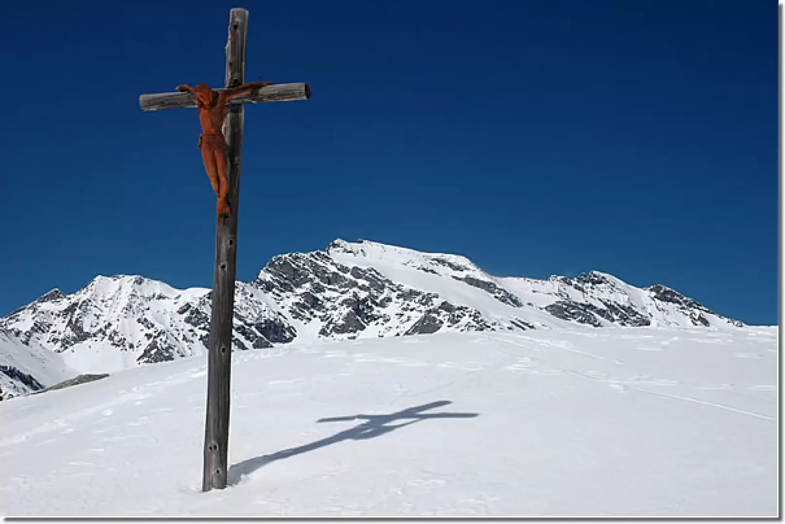
There is a wooden crucifix near the hut, created in 1993 by the Aosta Valley sculptor Franco Crestani.
Riferimenti Bibliografici
- Tracce Lievi - Martini Massimo - Martini Multimedia Editore, Saint-Vincent, 2007
Galleria fotografica