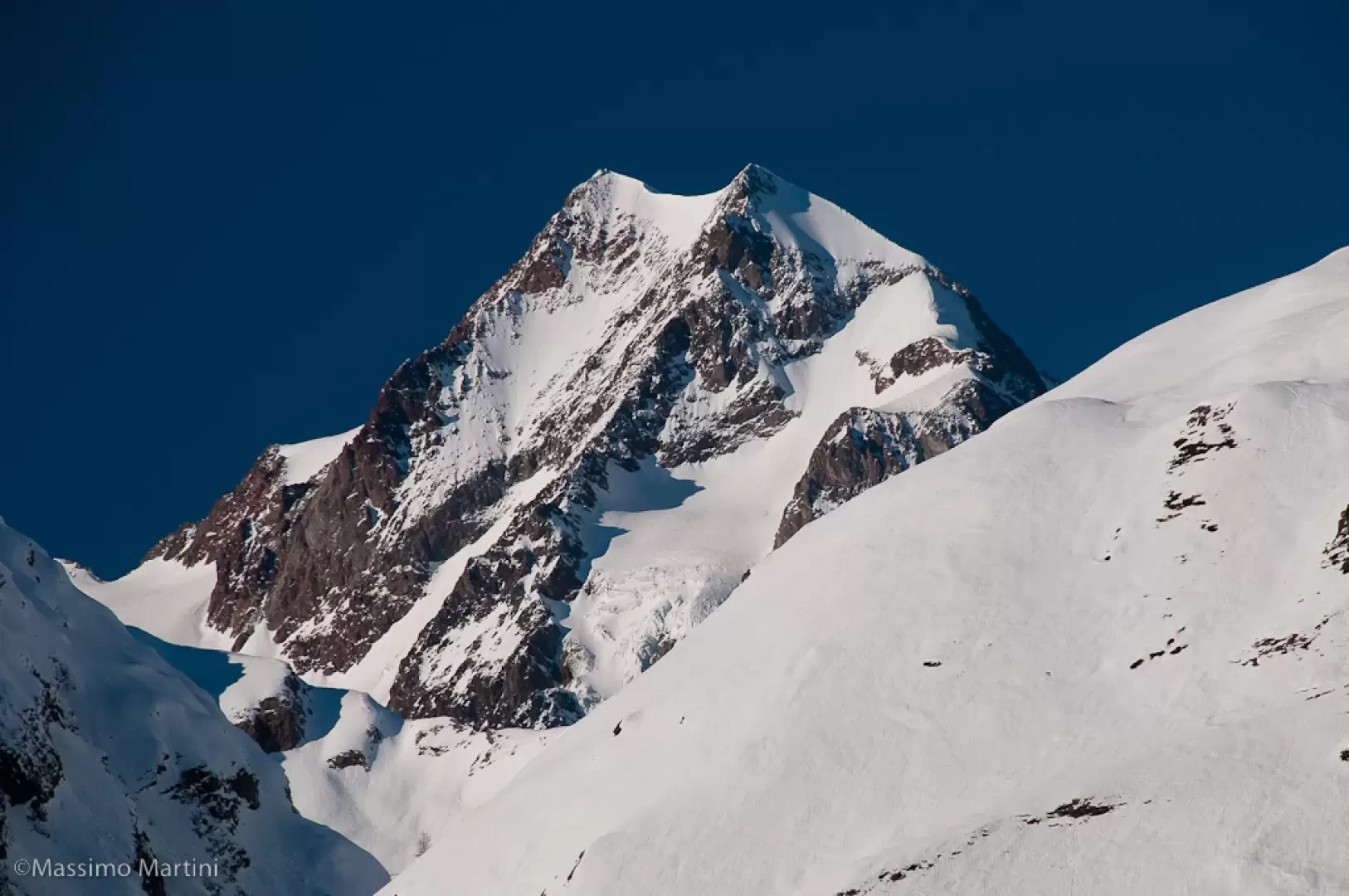
Petit St Bernard Pass, from Pont Serrand


Edited by:
Massimo Martini
Updated at: 21/09/2024
Introduction
Although the place is well known, it is not very popular with winter hikers. In fact, the presence of the downhill slopes of the La Thuile ski resort can inhibit the hiker; but with a few tricks and due care, it is possible to go up the summer road to the pass and enjoy a pleasant and scenic excursion.
Description
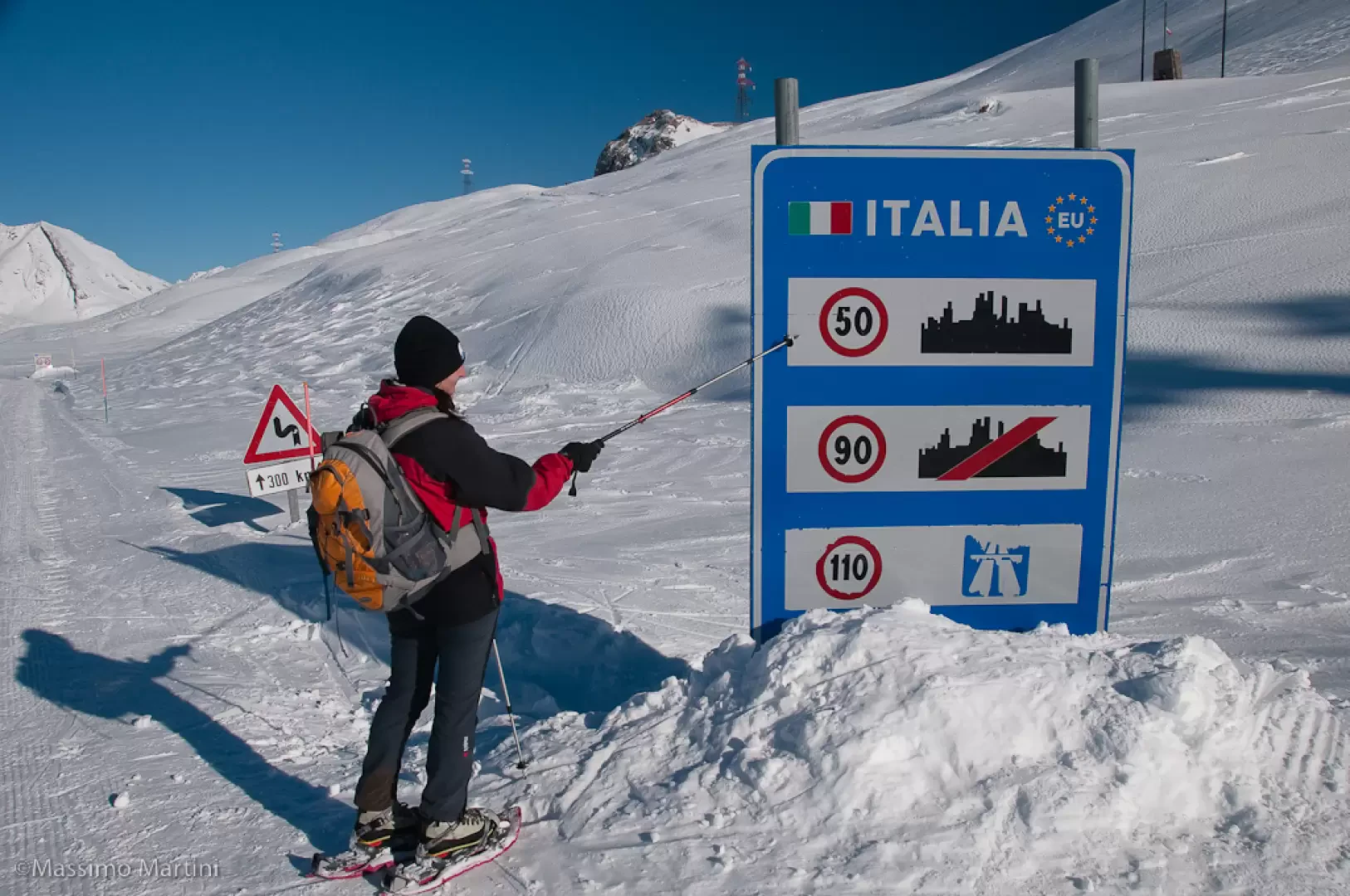
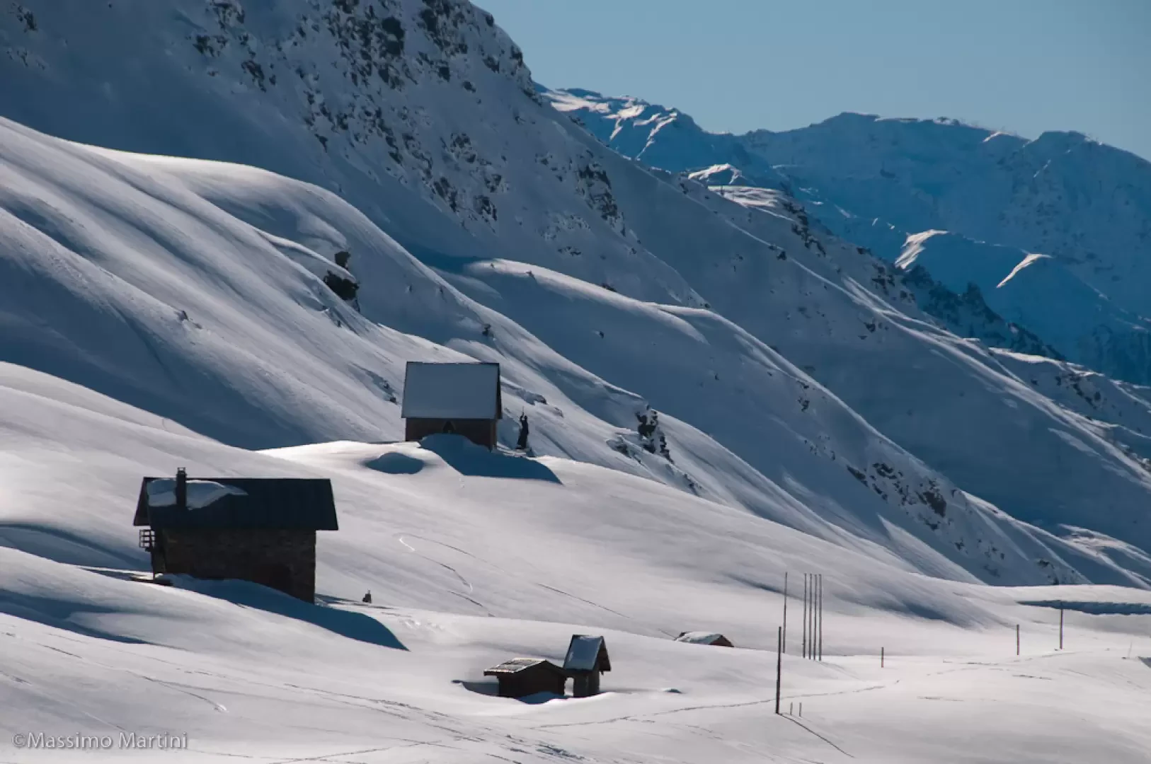
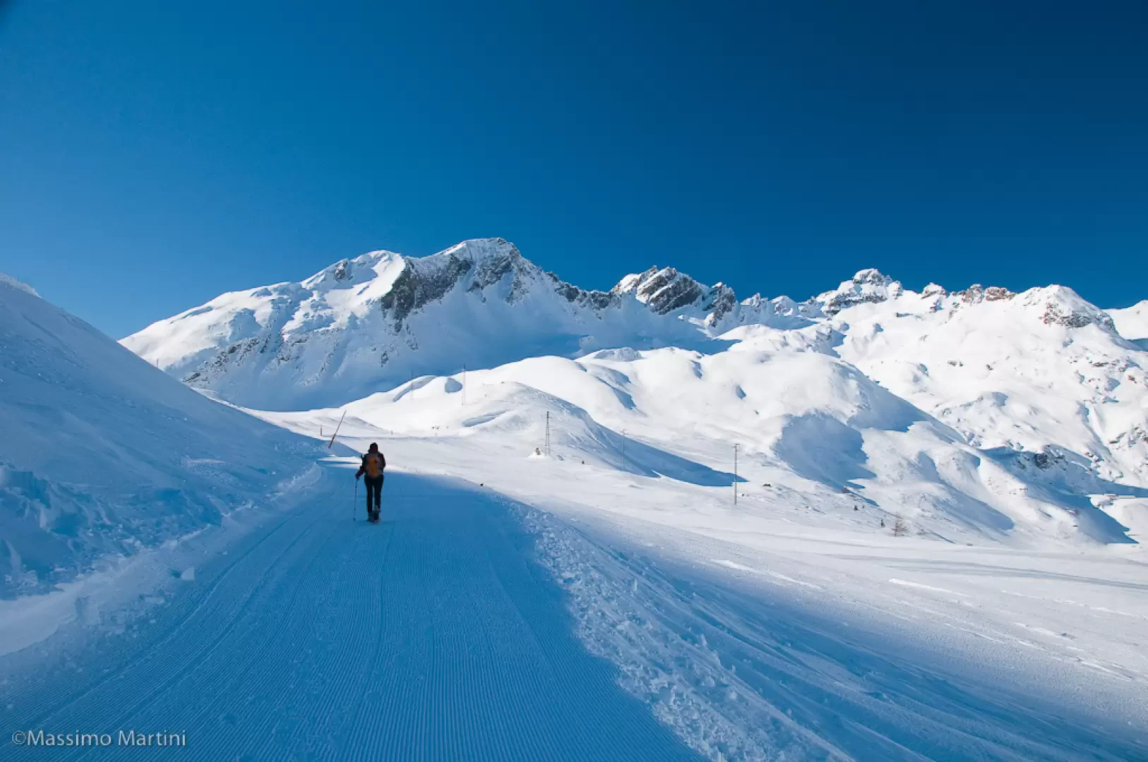
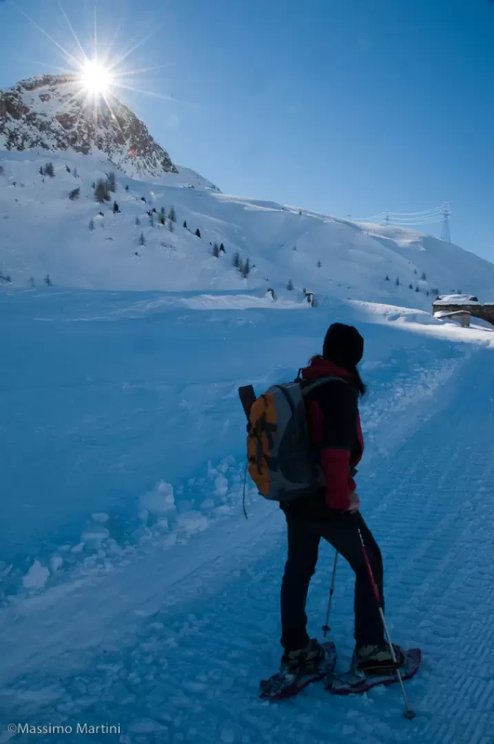
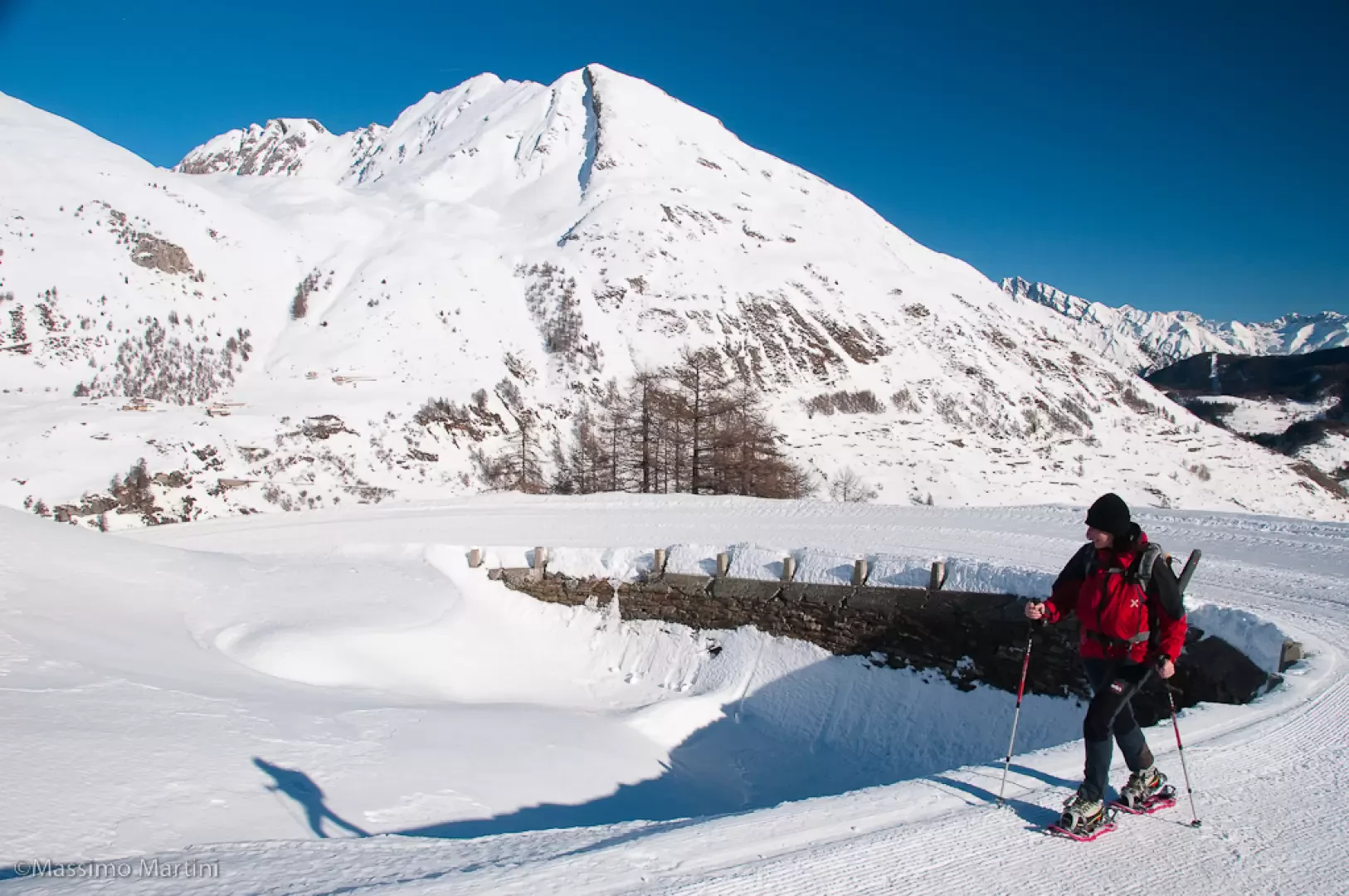
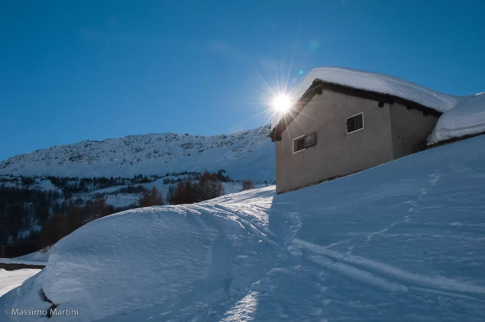
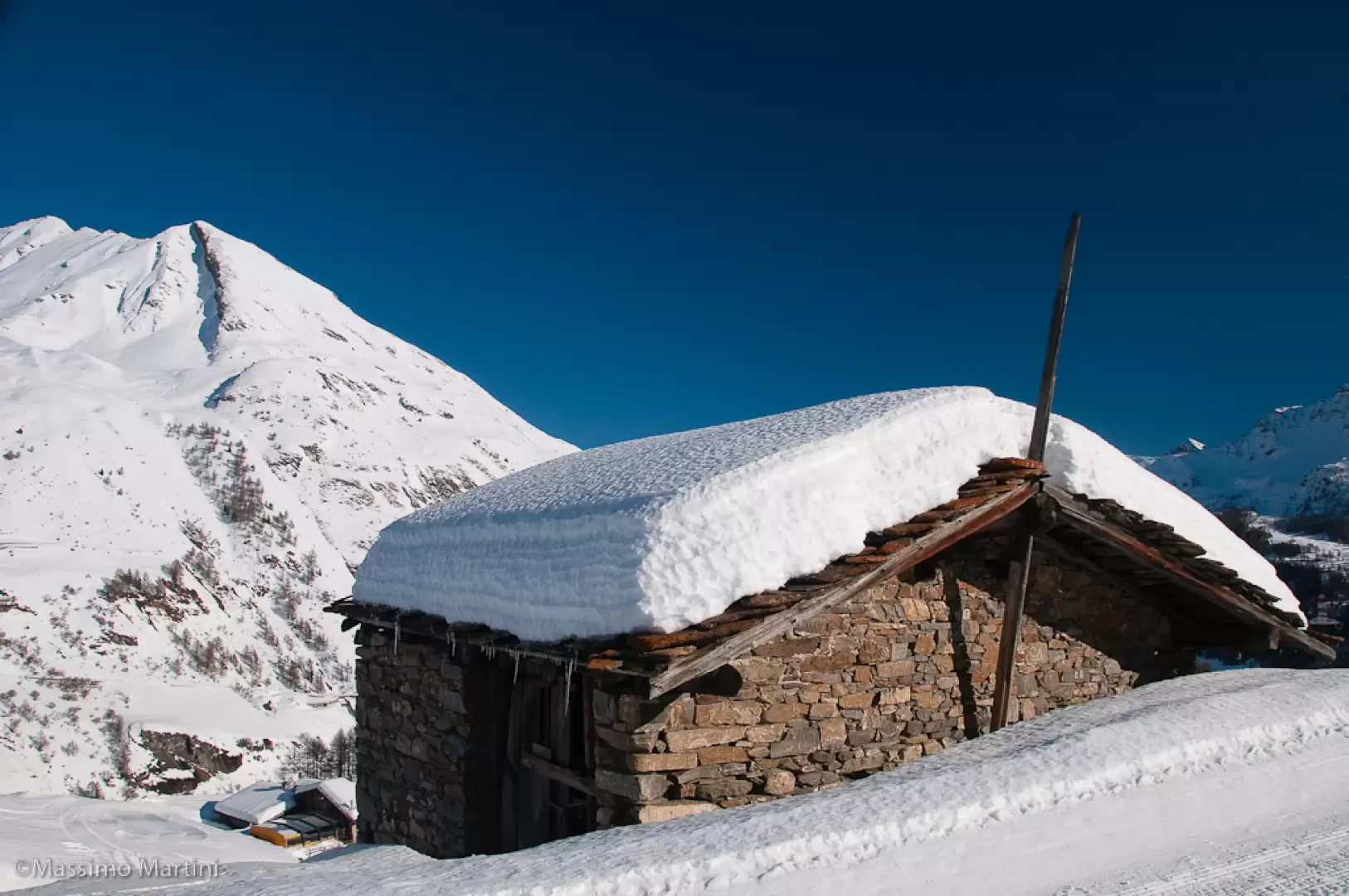
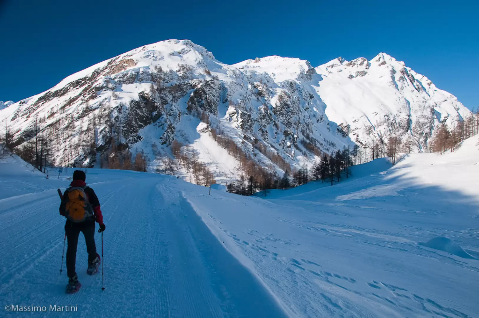
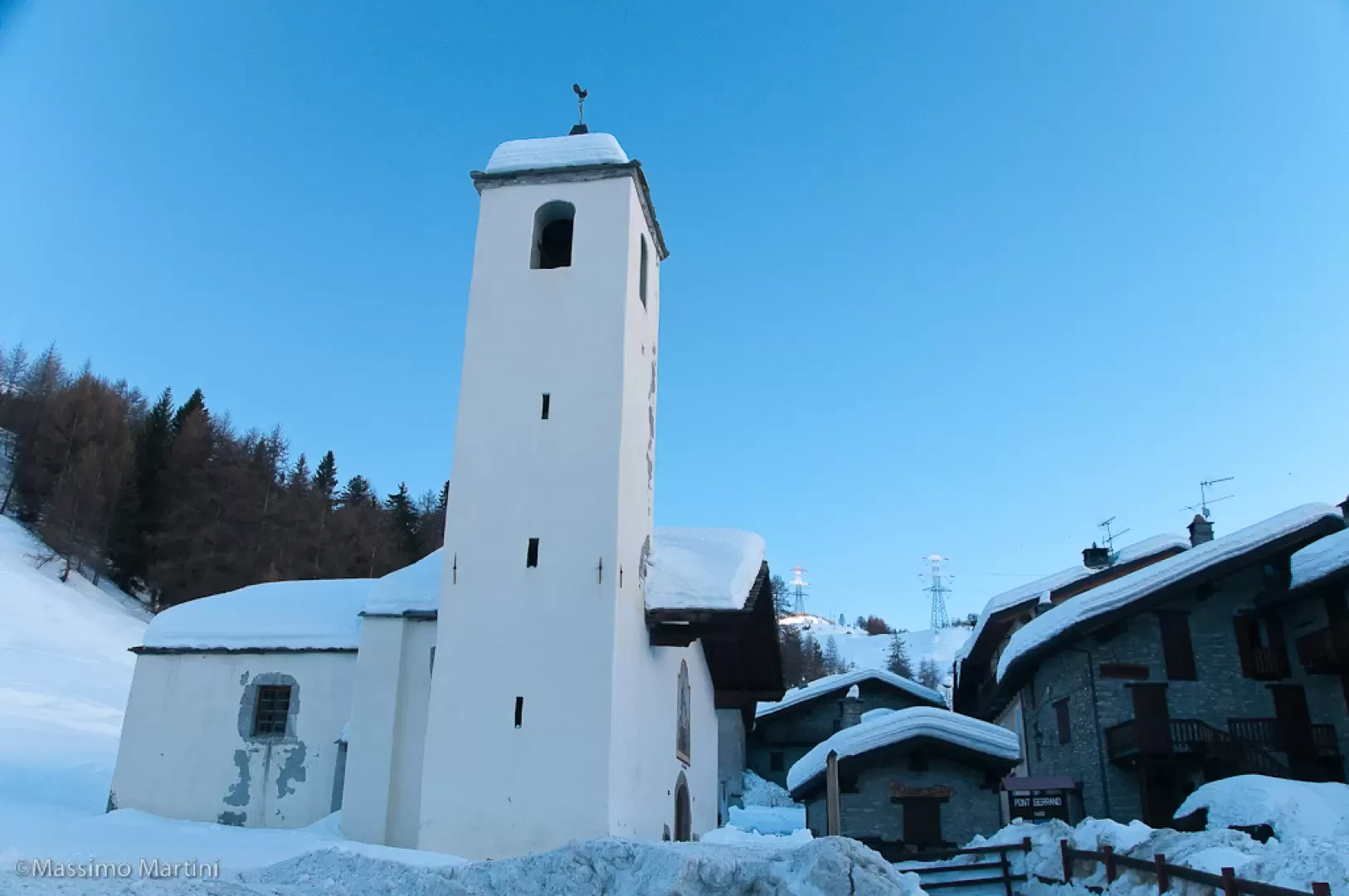
From the car park, go up the road briefly until you reach the small church of Pont Serrand (1602m): put on your snowshoes and head left following the road to the Petit St Bernard Pass. The road is actually also a track back to the ski resort of La Thuile so you have to pay due attention to the skiers (not many on this stretch actually) descending the track. Follow the first few bends before reaching a crossing of a new slope: turn right and go up the slope on the side until it joins the road again. Continue on the road following a few bends that go around a few tributaries before reaching the hamlets of Servaz (1825m, 0h30'). Still with a pleasant gradient, continue along the road, still surrounded by larch trees, until reaching a scenic snowy plateau that anticipates the Lo Riondet hut-restaurant (1850m, 0h'45'). Continue along the road again, ignoring the track on the left (which cuts a good stretch but is frequented by skiers), which approaches the Crétaz and Arpettes alpine pastures before turning left and taking a long ascending half slope that first leads to the Magnard cottages (1894m) and, a little further on, to a cantonment house. Here too there is the possibility of cutting across the slopes, but we recommend continuing along the road even though it lengthens the route. Continue now to the foot of the Tête de Tsargian (2076m), paying attention to the slope, which sometimes drains a little; go round the Tête with a curve to the left that practically leads to a bar-restaurant (1980m, 1h45'). The slope now becomes straight and soon leads in front of the Tête de l'Âne, which is bypassed on the left. The departure of a chair lift (Fourclaz-Express) is left on the left and two isolated buildings called Cantine des Eaux Rousses (2047m) are reached. The destination is approaching: still following the south-west direction, proceed slightly uphill until you reach the junction for Lac Verney (2109m), near the summer car park, then with a couple of hairpin bends overcome a last slope before entering the final section of the route, which is straight and reaches the lifts preceding the pass.
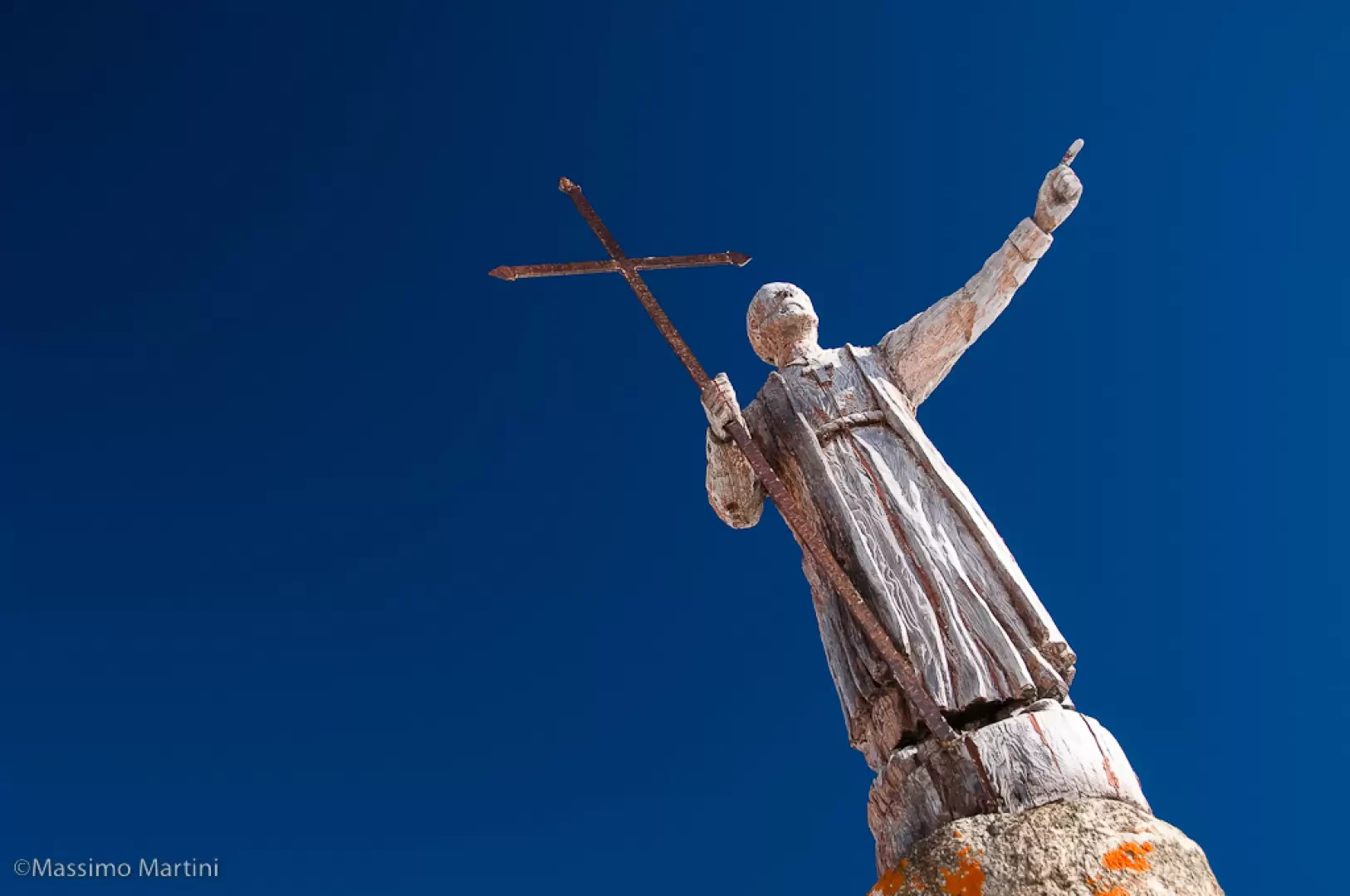
After carefully negotiating the return slope near the chairlift, the route continues past a few bars to the old customs house: another short straight stretch (passing near the Roman mansio) and you reach the Petit St Bernard pass (2192m, 3h00') where you will see a wooden statue of the saint.
The descent follows the same route as on the outward journey, with the possibility of cutting across some stretches of road (2h00').
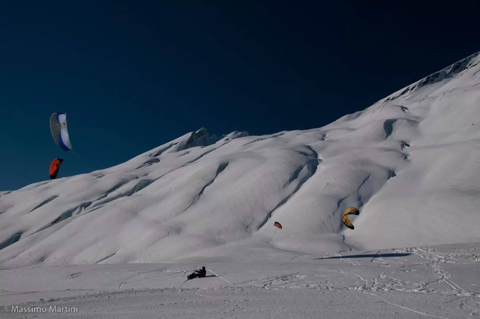
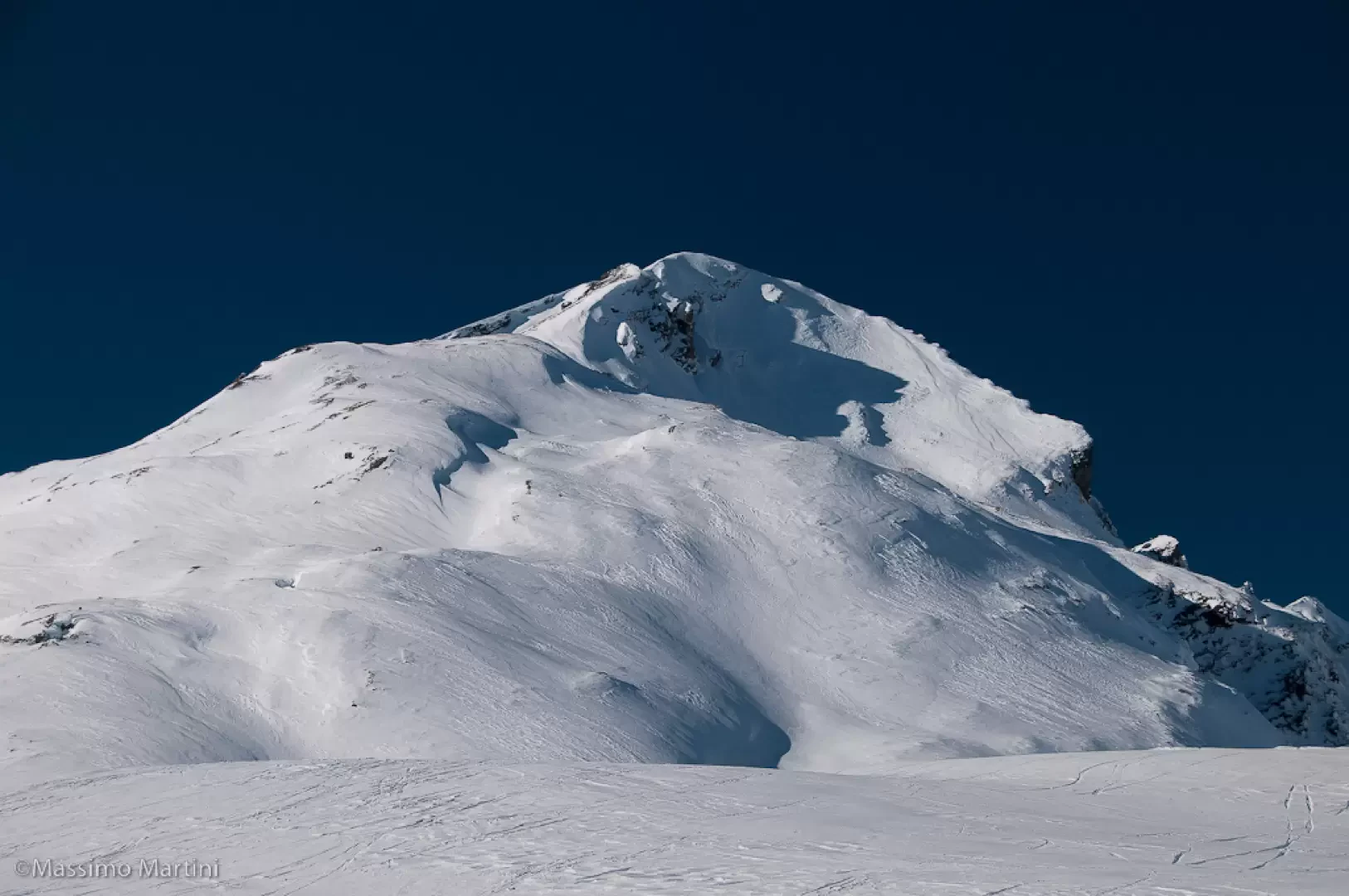
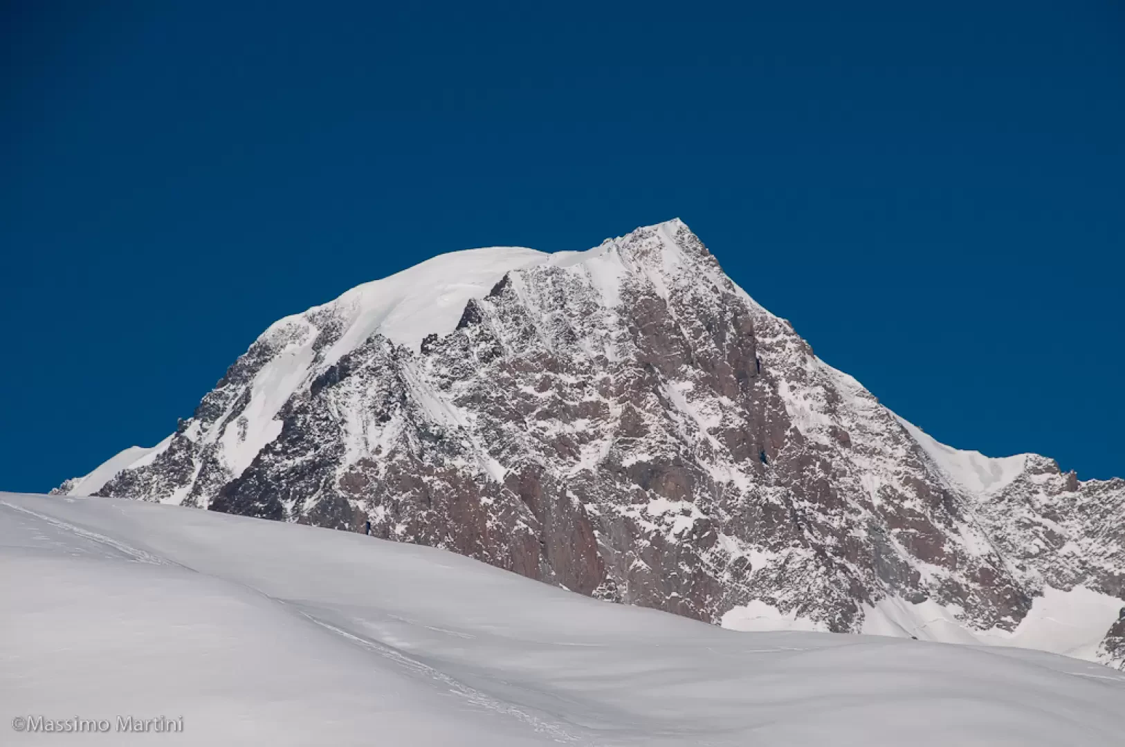
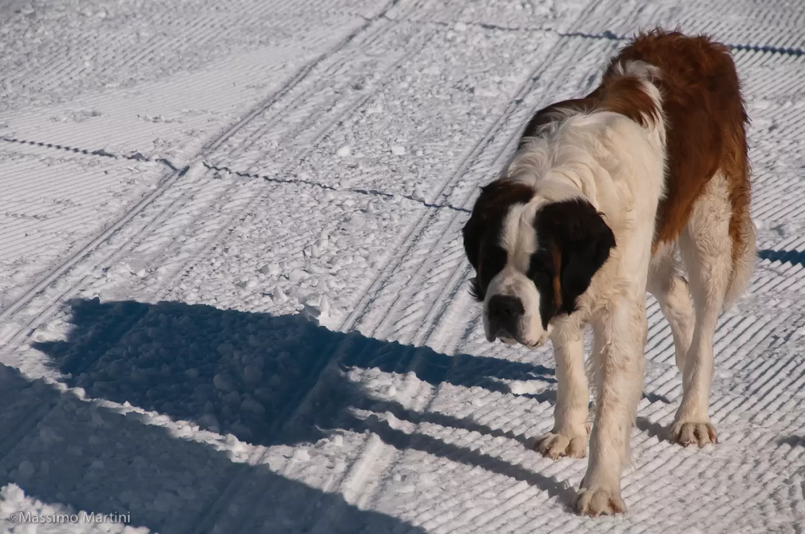
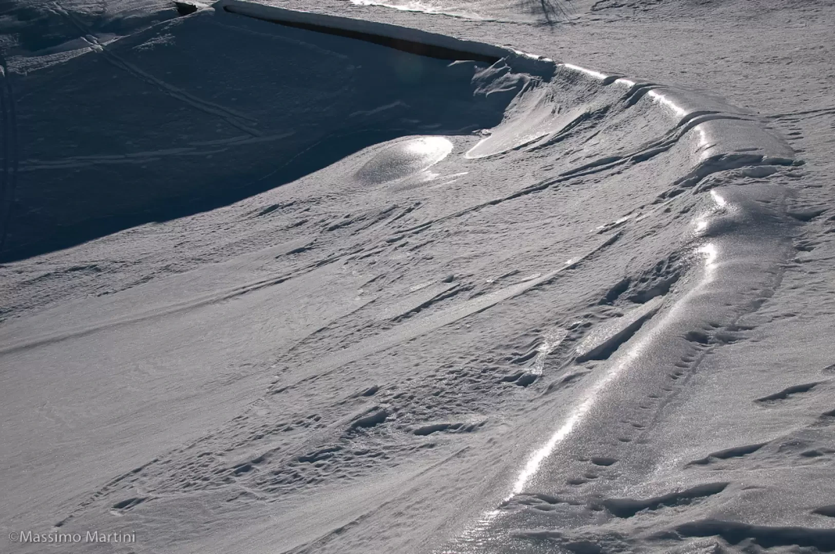
Photo gallery


Comments (0)
Sign in to leave a comment