Fenêtre d'Ersaz, from the Etirol car park


Edited by:
Massimo Martini
Updated at: 04/05/2025
Access
Leaving the motorway at Châtillon, after 300 m turn right towards Breuil-Cervinia - Valtournenche. After 1.2 km you reach a traffic light: go straight on and then turn right, passing a subway, in the direction mentioned above. You are now on the SS26 and, after passing another set of traffic lights and two tunnels, at 3.7 km you come to a roundabout: turn right onto the Valtournenche SR. At Antey-Saint-André, after 11.7 km turn left towards Torgnon. When you reach Torgnon, locality Mognod, go past the Town Hall and after about a hundred metres turn right, following the signs for Triatel and Etirol. Continue along the narrow road to Etirol, where you can leave your car.
.Introduction
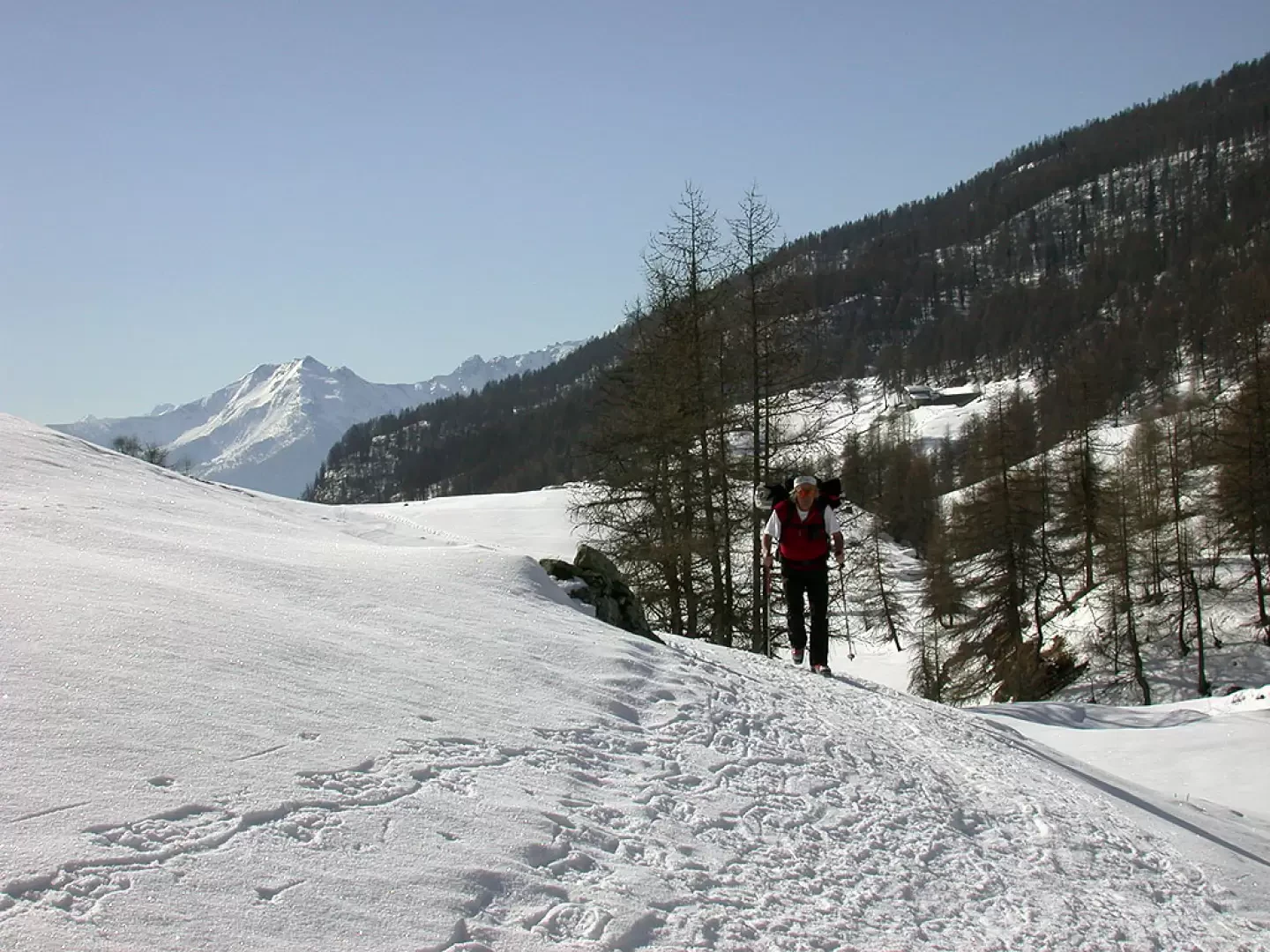
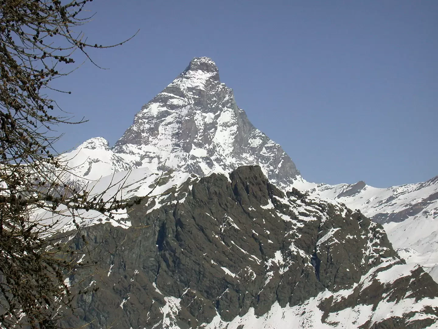
Worthy excursion in the Torgnon area. It can be done without too much difficulty and allows you to enjoy some privileged views of the two Valtournenche lookouts: Punta Tzan and the Matterhorn.
Description
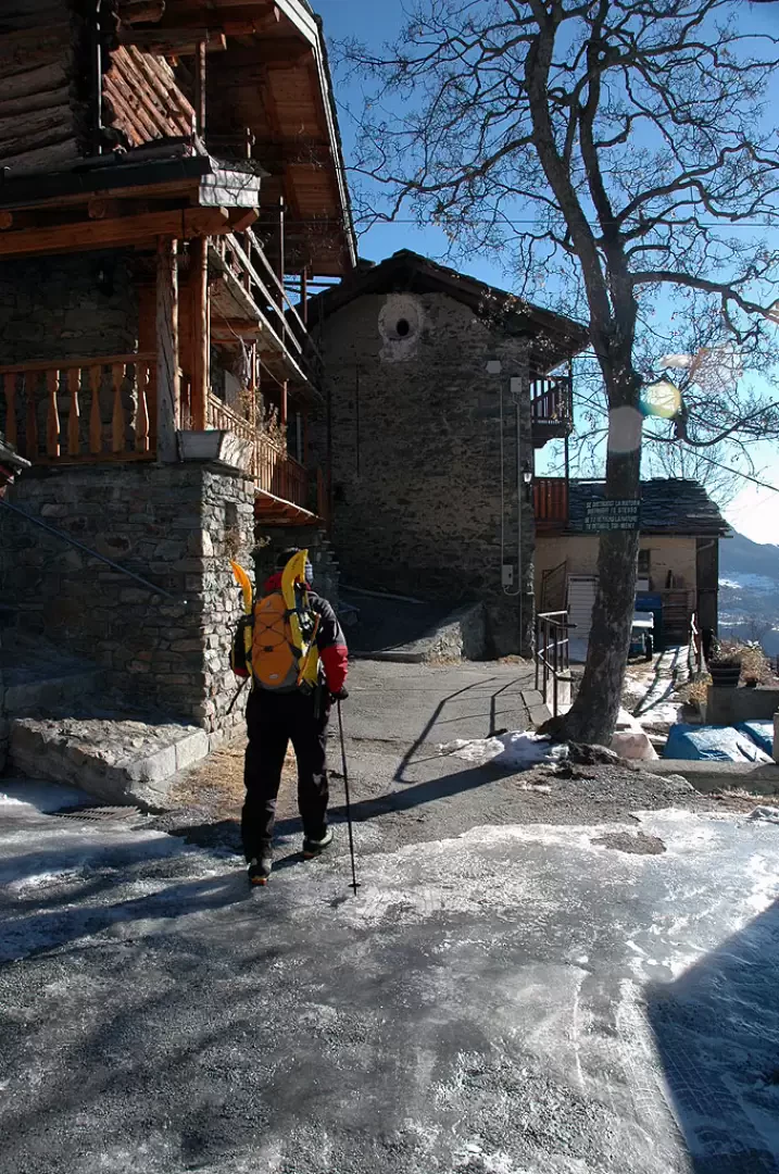
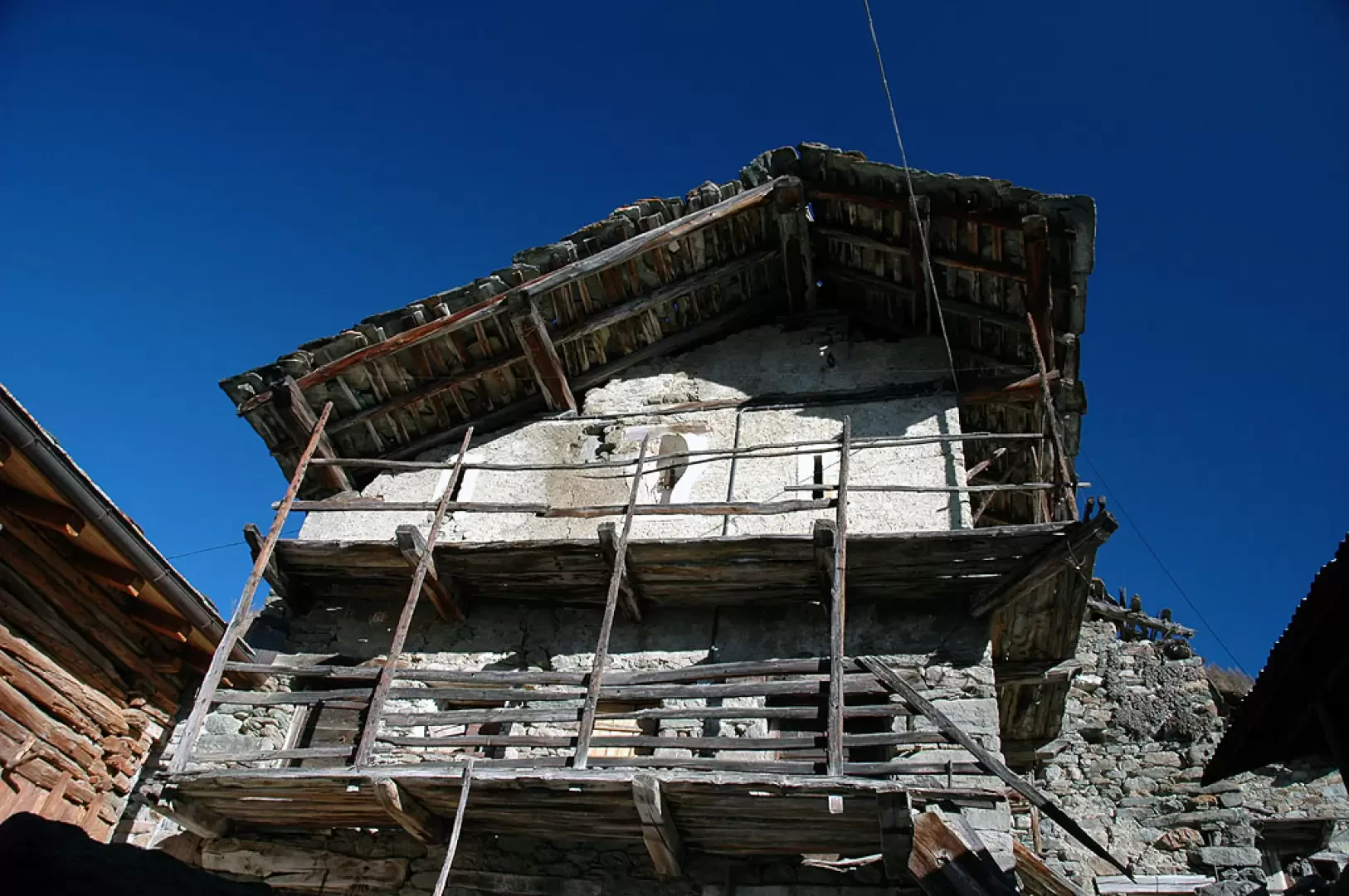
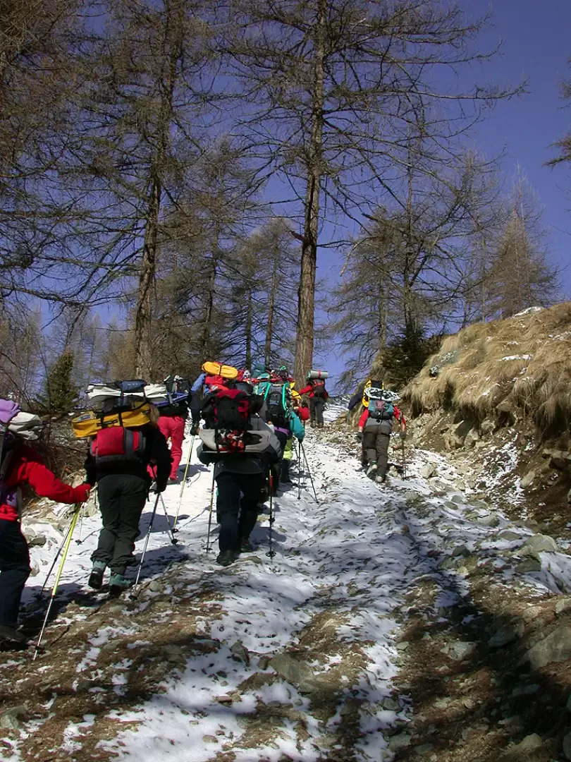
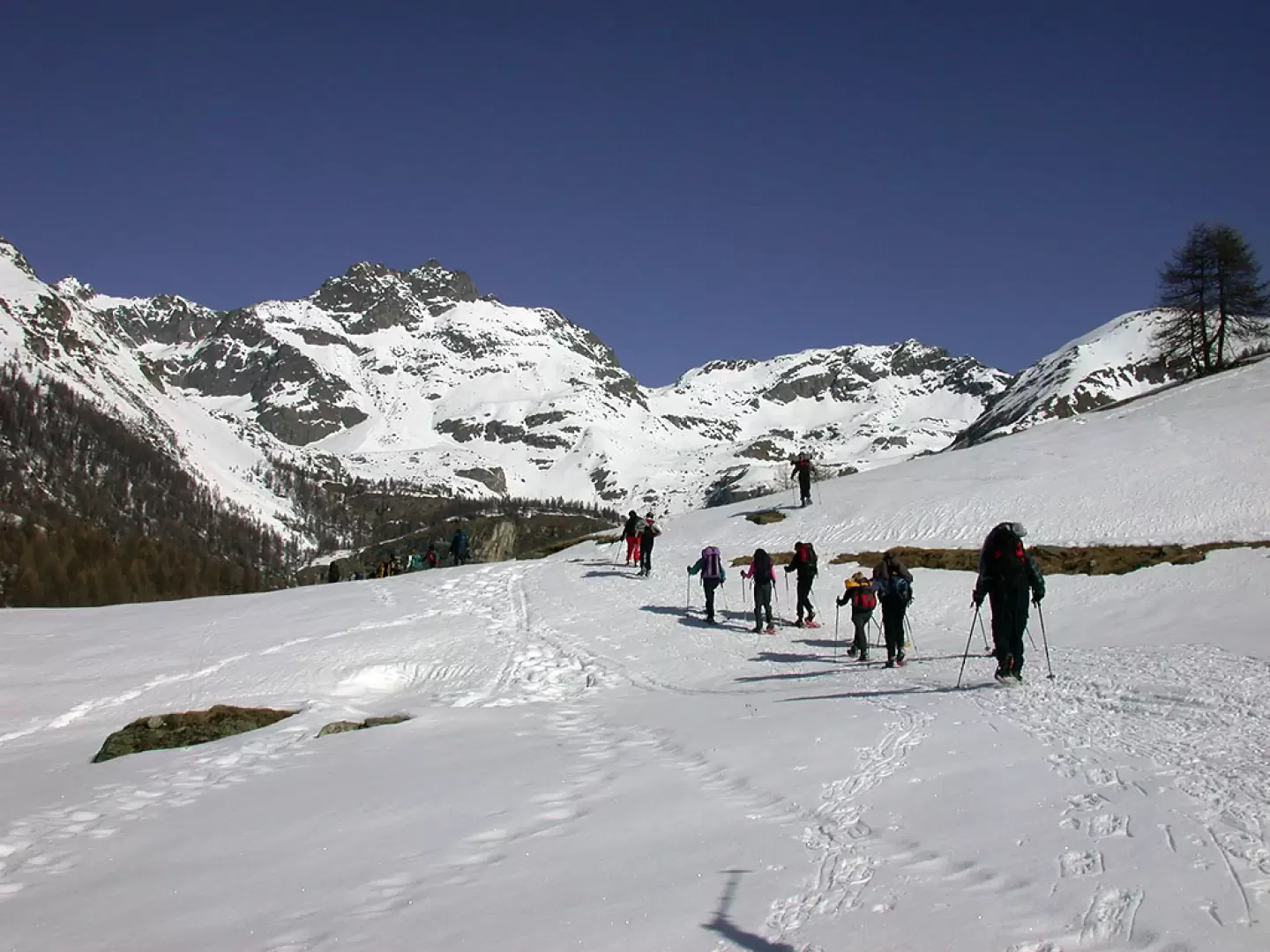
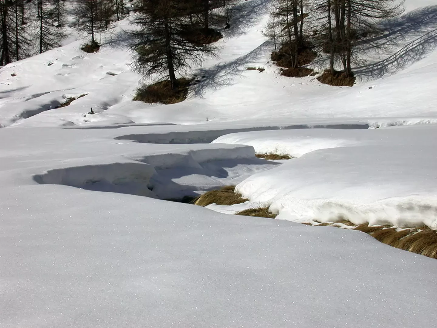
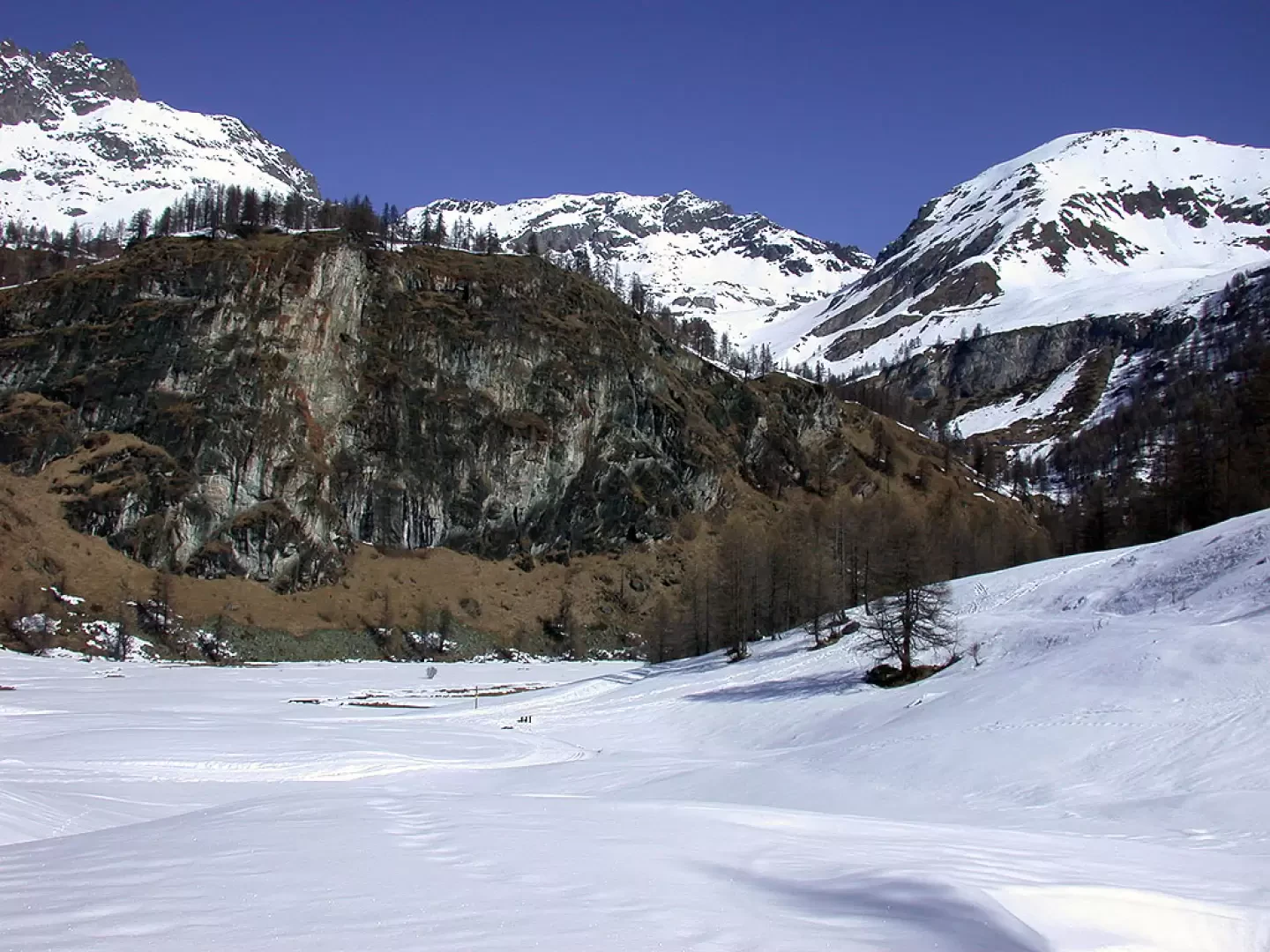
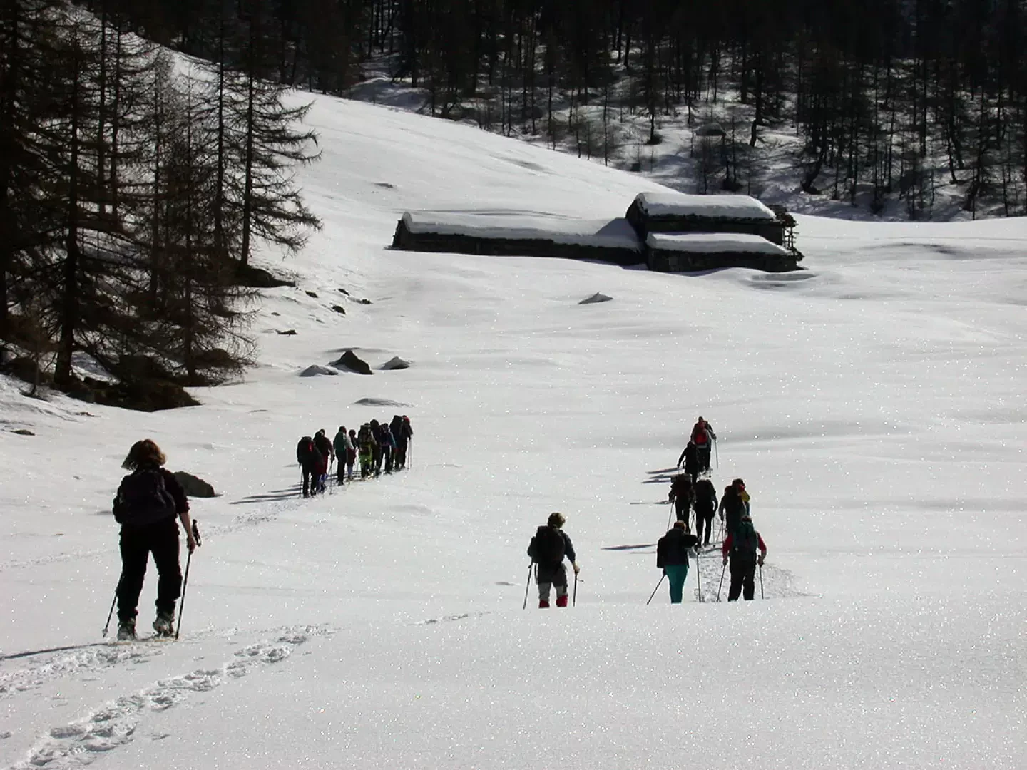
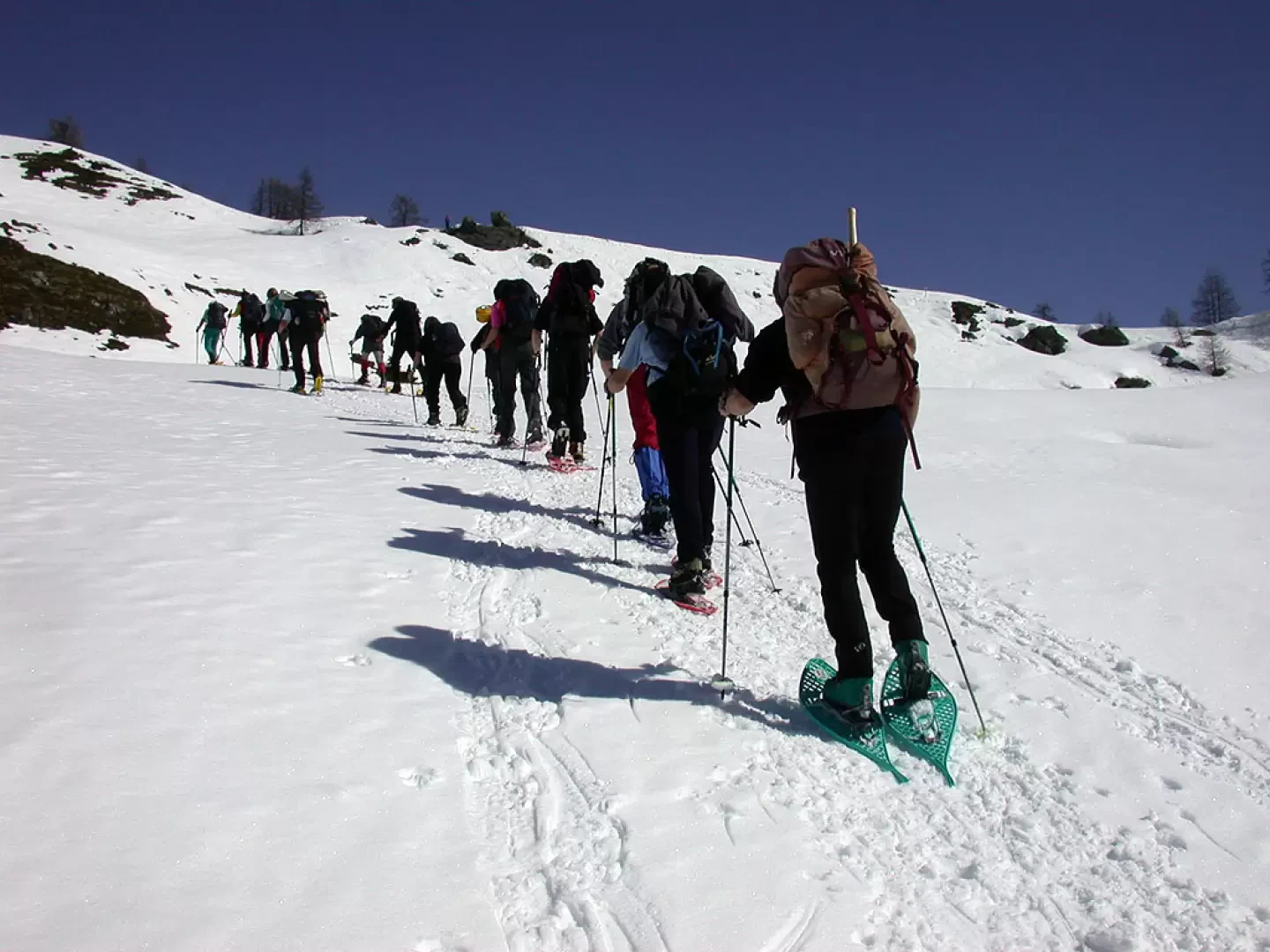
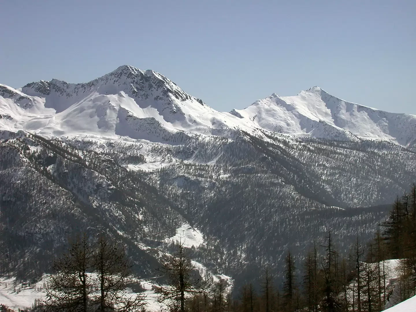
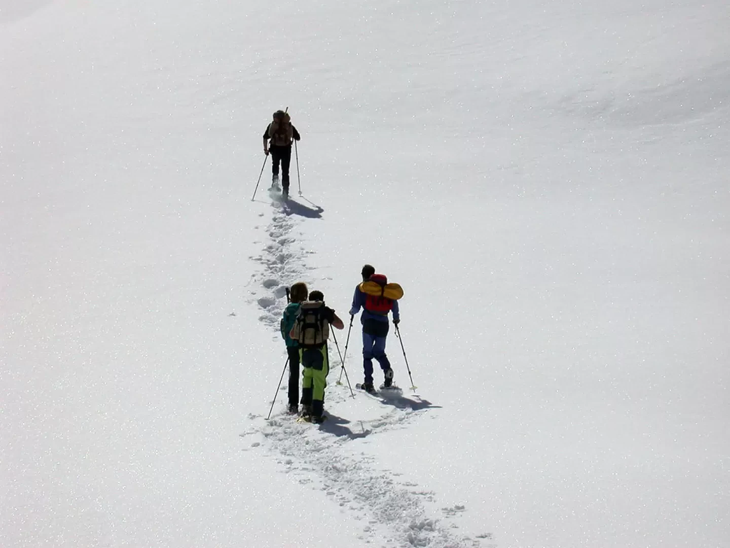
Leaving the car in the small car park in front of the village of Etirol, we set off towards the houses of Etirol. We pass through typical village dwellings as the path turns 180° and reverses direction. We ascend on a wide mule track lined with trees and a few wooden railings, which make it intuitable even when there is plenty of snow. We reach a wider stretch of path, a small farm road that cuts through some coniferous thickets, and after a few moments we come upon the splendid view of Punta Tsan (3322m). After leaving an alpine pasture on our right, we cross a slightly uphill stretch and then approach the gentle waters of a small stream. After overcoming a small difference in altitude, we finally reach the Loditor mountain pasture (1h15'), flanked by cross-country ski runs. At this point, one turns slightly to the right, ascending a ridge that is cut by the aforementioned track. The ascent continues as far as a plateau below Alpe Palu: from here the climb becomes steeper and the most demanding section of our excursion is overcome, with some effort.
After crossing a steep slope, interspersed with a gentler section, we set off on the last stretch to reach the Fenêtre d'Ersaz. With a series of wide bends, we finally reach our destination in around 2h30': from up here you can be rewarded for all your efforts with a privileged view of the Matterhorn and the peaks of Valtournenche.
The descent follows the same route as the outward journey.
General Information
Route: from Etirol
Trail signposts: 105
Type of route: a/r
Recommended period: December, January, February, March
Objective hazard:none
Exposure to sun: south
Exposed Tracks: none
Equipment:Snowshoes, poles, ARTVA, probe and shovel
Water: Etirol
Book References
- Tracce Lievi, Massimo Martini,
Riferimenti Bibliografici
- Tracce Lievi - Martini Massimo - Martini Multimedia Editore, Saint-Vincent, 2007
Photo gallery
Comments (0)
Sign in to leave a comment