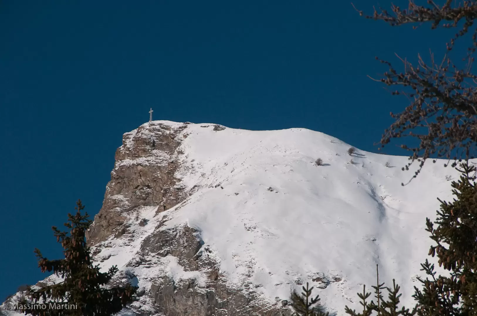
Col des Bornes, from Col Saint-Pantaléon


Edited by:
Massimo Martini
Updated at: 15/05/2026
Access
Introduction
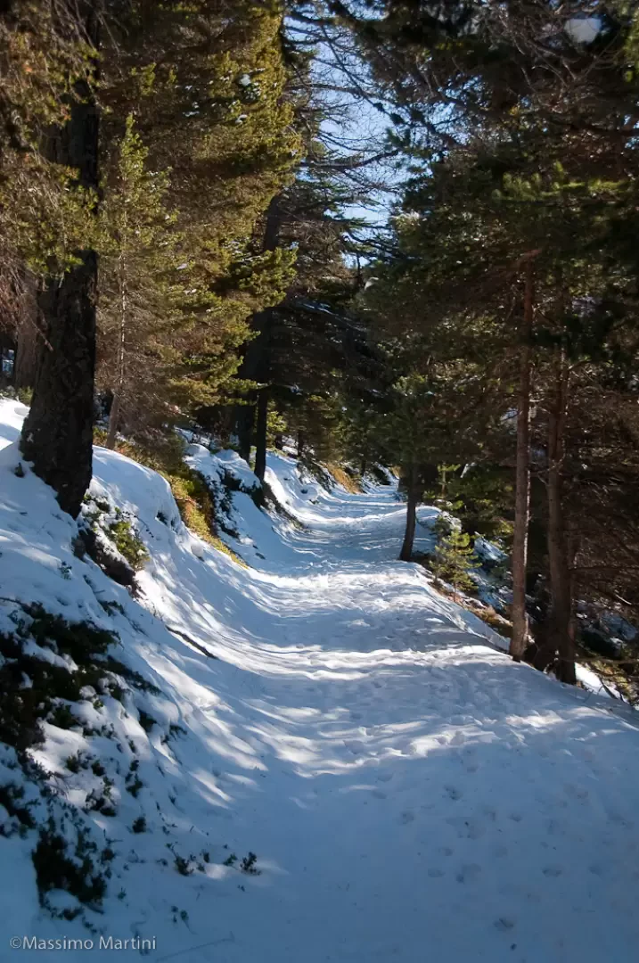
A pleasant walk through the beautiful Bornes forest. The route takes advantage of some tracks that are not always groomed for cross-country skiing. The modest difference in altitude and the absolute absence of avalanche risk make this route practically walkable throughout the snow season.
Description
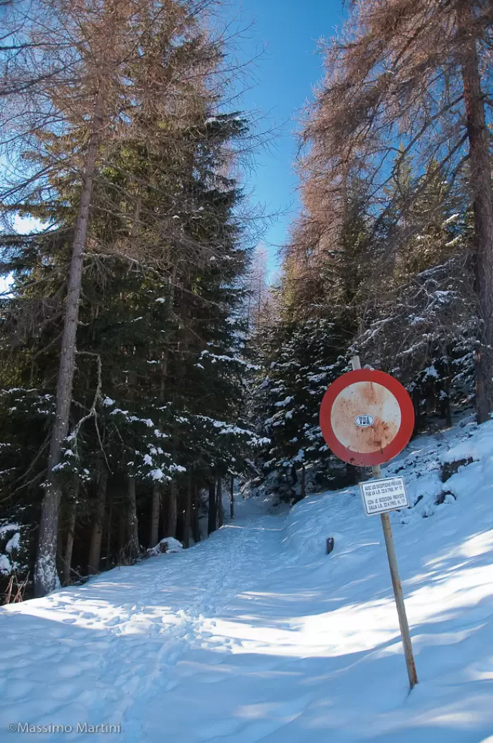
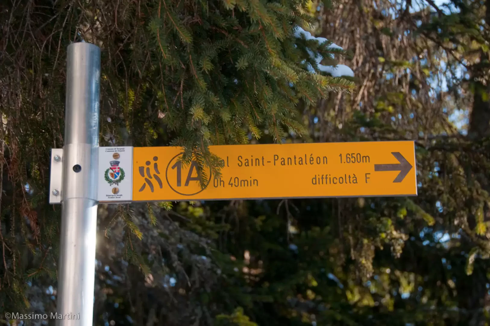
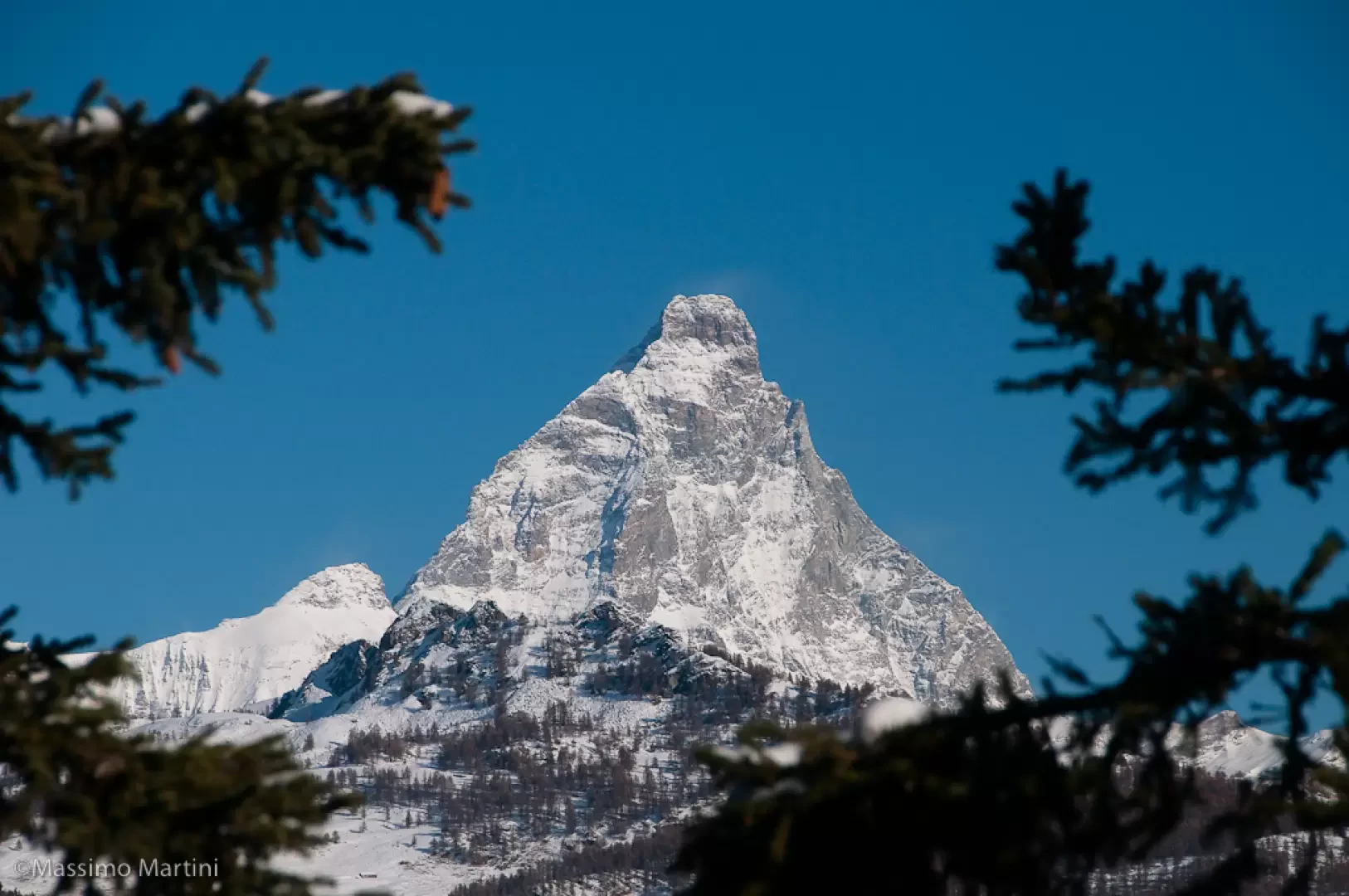
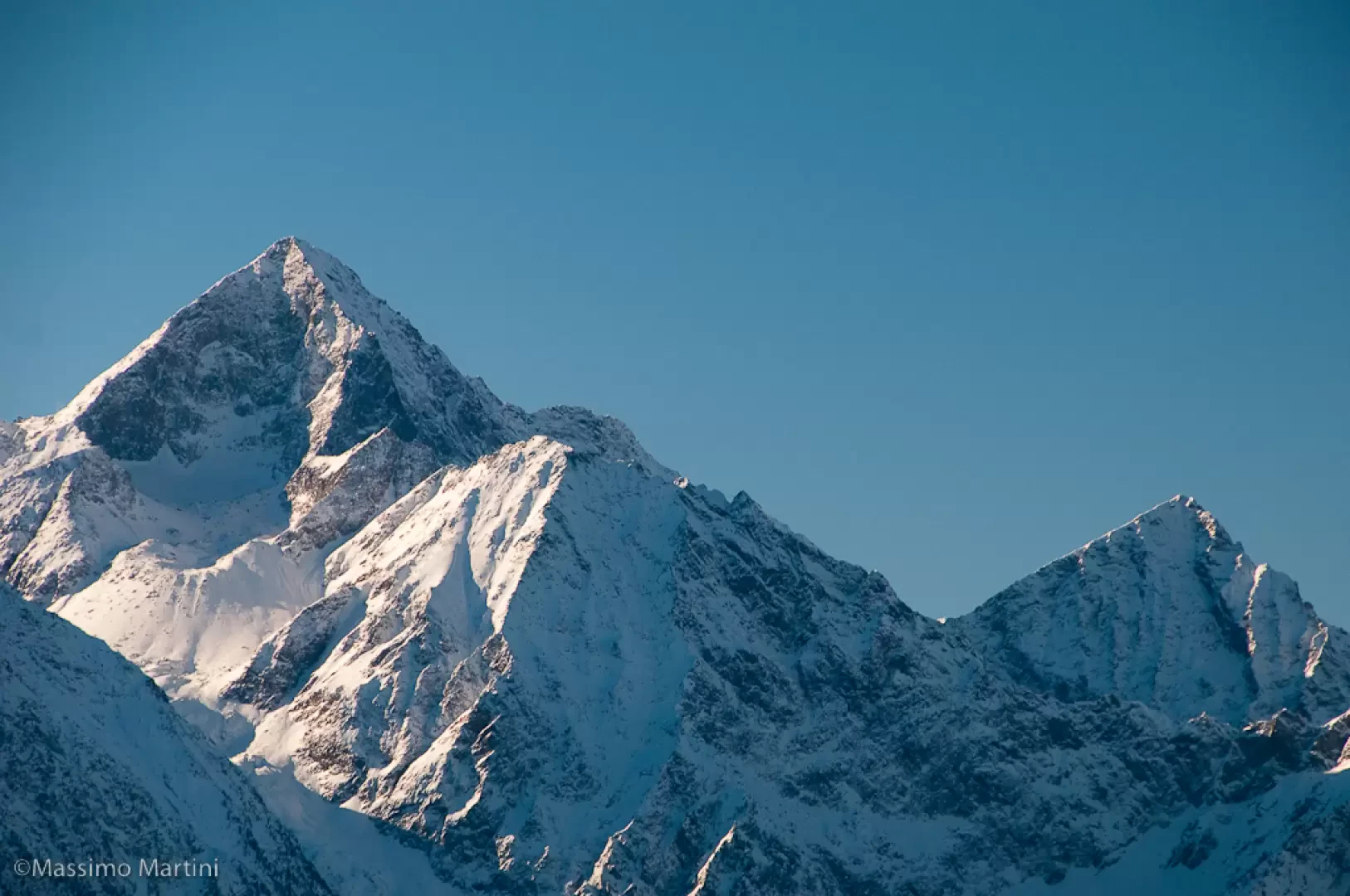
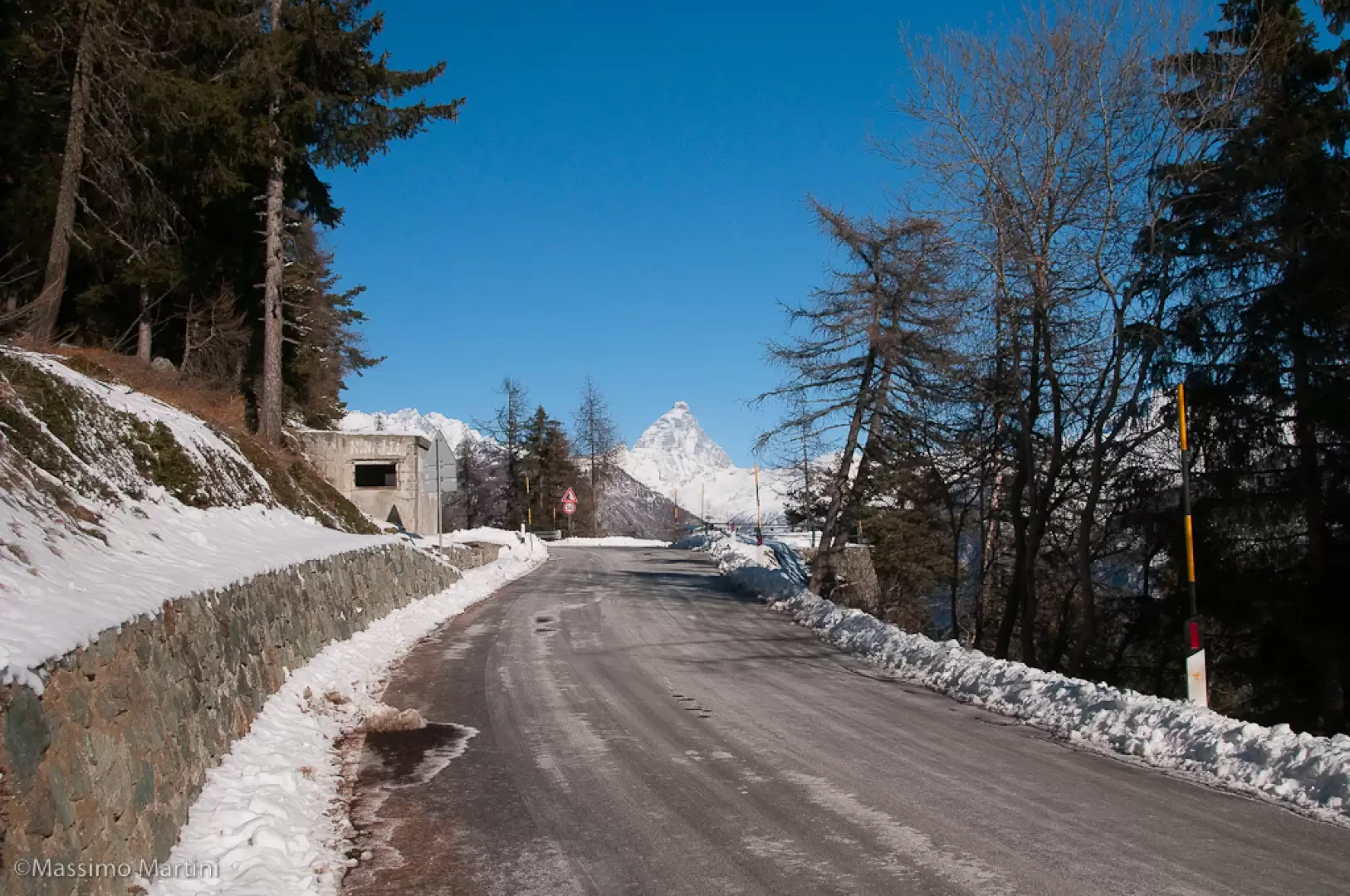
Take the wide path from the hairpin bend and climb up it for an initial stretch through the beautiful spruce forest; the path then levels out and heads south before climbing again just before reaching a snow-covered track. A signpost indicates the path (1A) to Col Saint-Pantaléon (1742m, 0h10'): take the track to the left, descending briefly before starting a nice flat section in the forest that opens out at times to offer splendid panoramic views of the Valtournenche peaks, from the Cervino to Monte Zerbion.
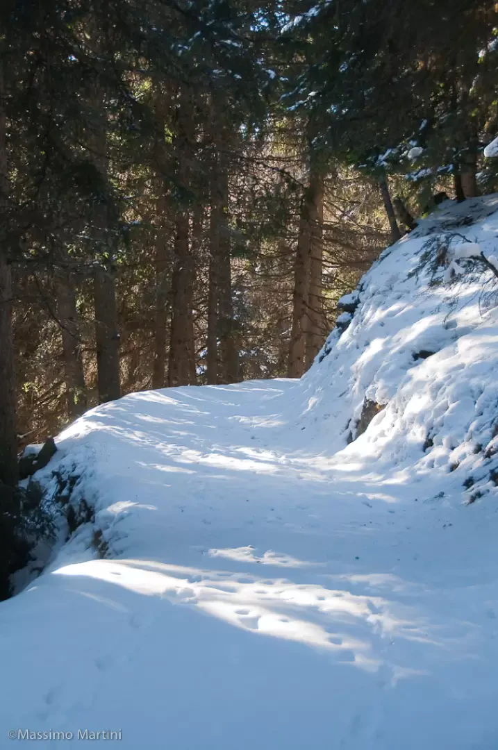
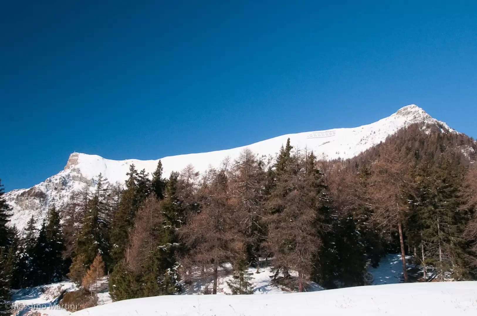
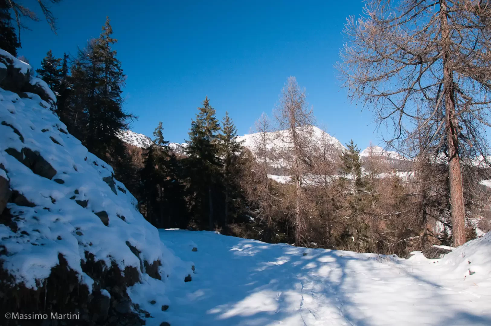
Following the sinuous slope, you quickly reach a new marker (1720m, 0h30'): ignore the path to the left, which you will follow on the return journey, and now proceed uphill with a slight turn to the right. The track enters a stretch of denser forest with enchanting views of the eastern slope of the Becca d'Aver. After passing a couple of hairpin bends, the track then turns left for a short distance and begins to climb again until it joins the Nordic ski slope above at Maisonnettes (1803m, 1h10').
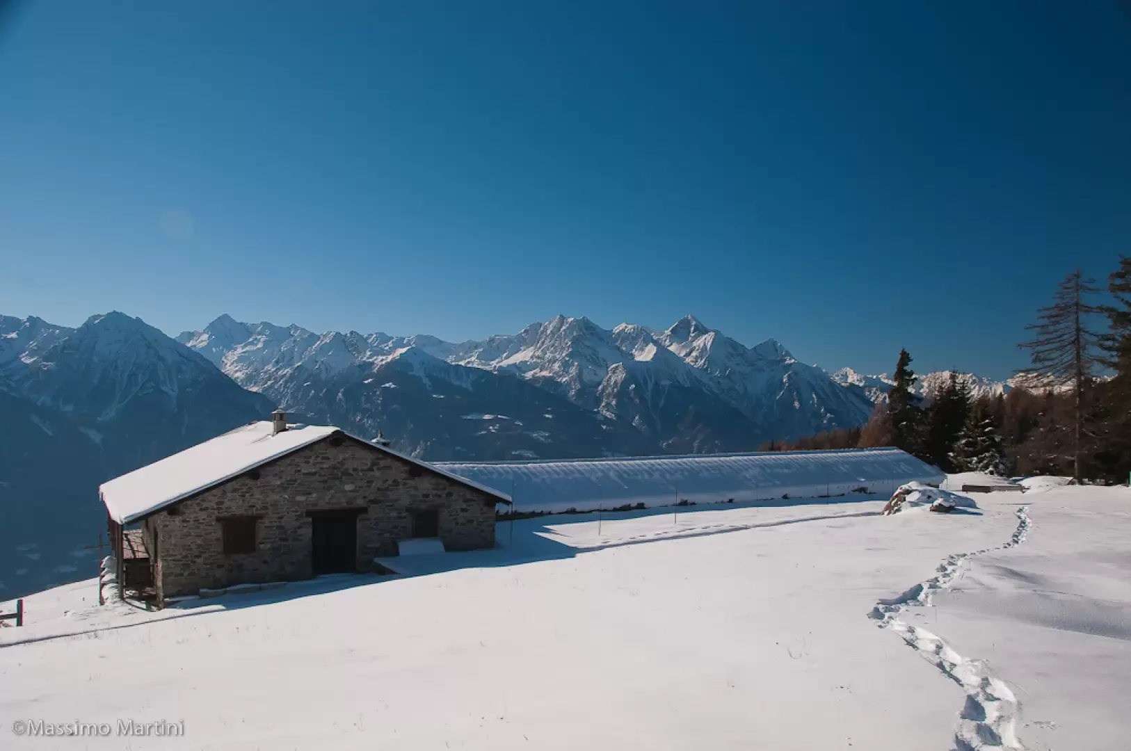
Follow the cross-country ski track downhill to the left, taking care to keep to the edge so as not to deteriorate the tilling. The track turns to the right and reaches a fork: take the downhill track to the left, which soon reaches the panoramic esplanade of the Col des Bornes (1781m, 1h20').
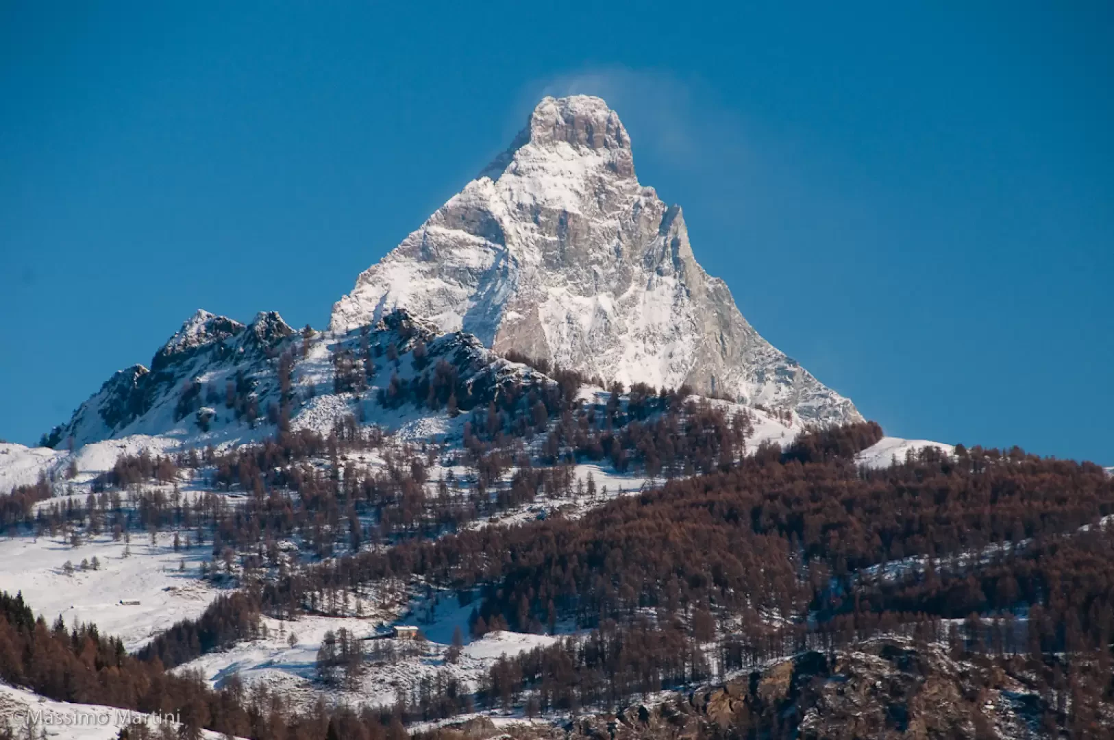
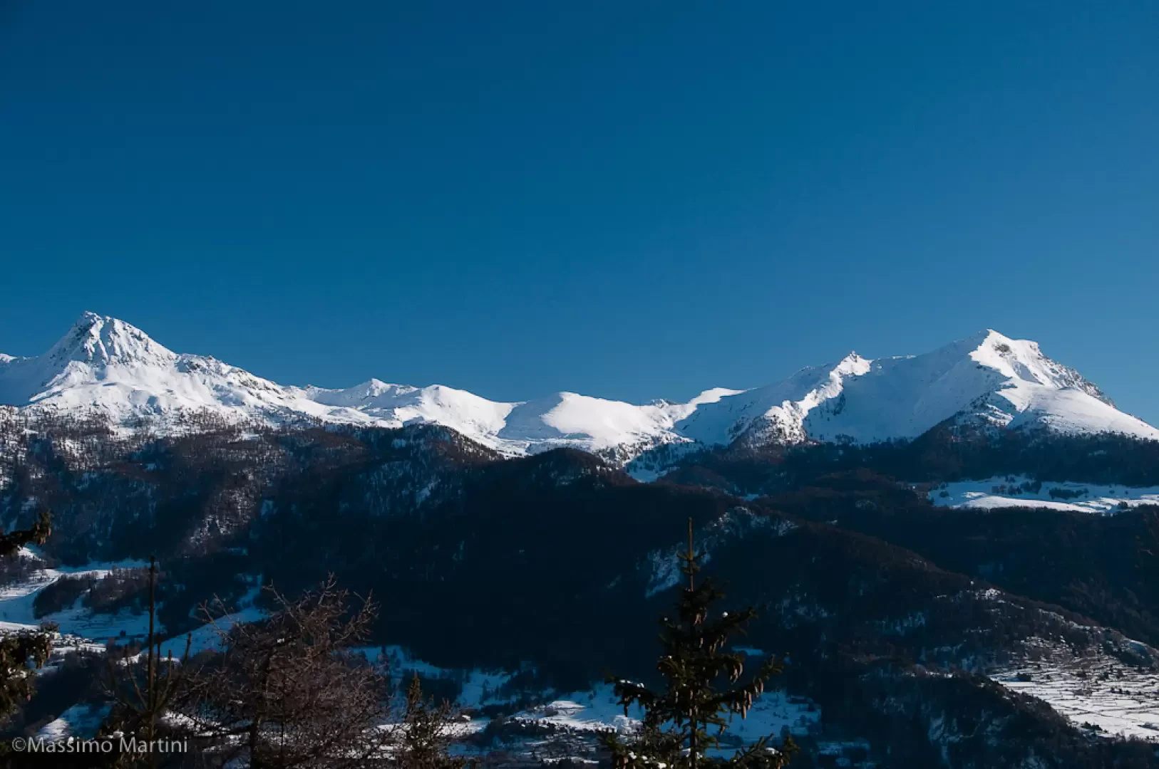
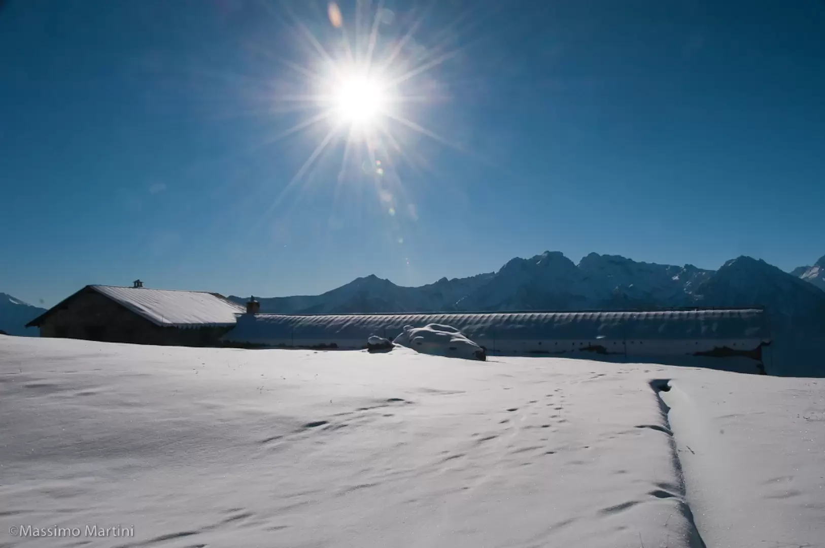
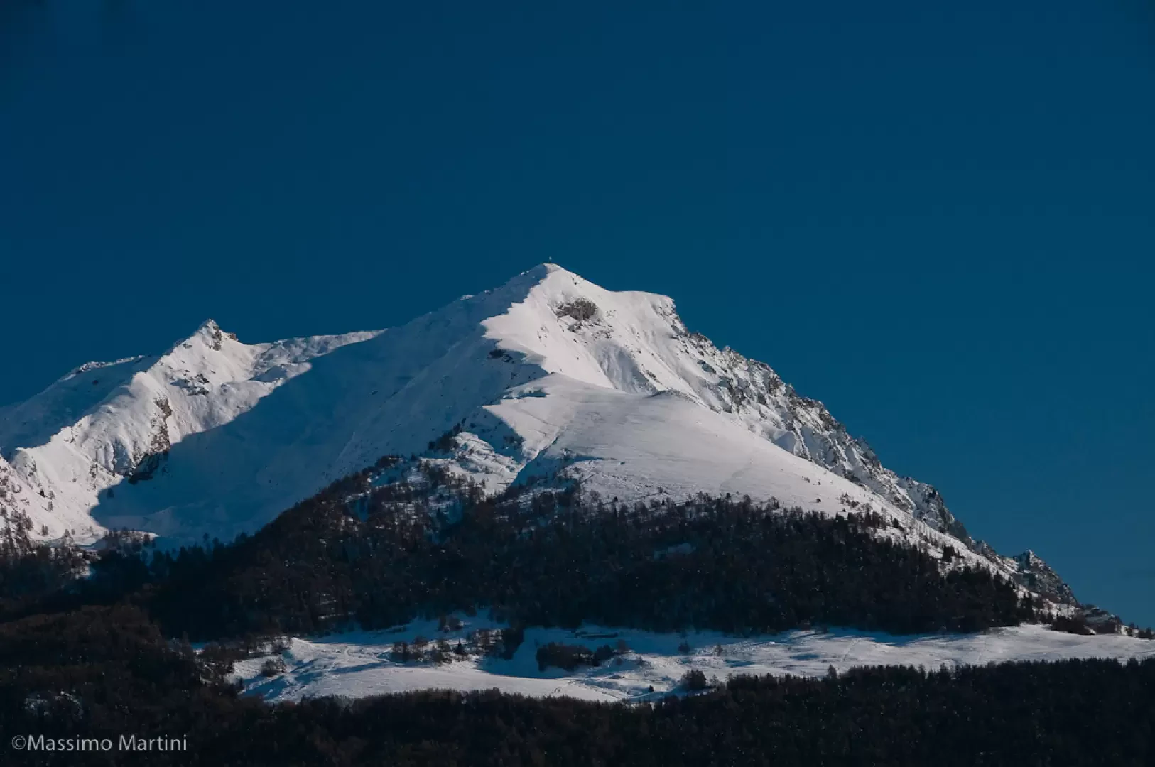
After pausing to contemplate the important panorama of the main peaks that flank the central valley, take the track again to the left that leads to the Col de Saint-Pantaléon. After a short ascent to the aqueduct hut, continue straight on entering the forest following the flat track. Slowly, you begin to descend until you meet two hairpin bends that cause you to lose a little altitude. With a descending half slope, you reach the regional road at a new signpost (1666m, 1h30').
Continue for a stretch on the regional road, possibly taking off your snowshoes if it is not snow-covered, passing a car park with a panoramic viewpoint and, a little further on, beginning to descend until you reach the signpost that anticipates the beginning of the path (1A) (1663m, 1h40'). Take the path to the left, clearing a short stretch of woodland before tackling a nice flat section after turning right. The path narrows and becomes slightly uncomfortable (narrow) in some passages. With an undulating path, you return to the track taken at the start of the hike: turn right and follow the trail back to the starting point (1710m, 2h15').
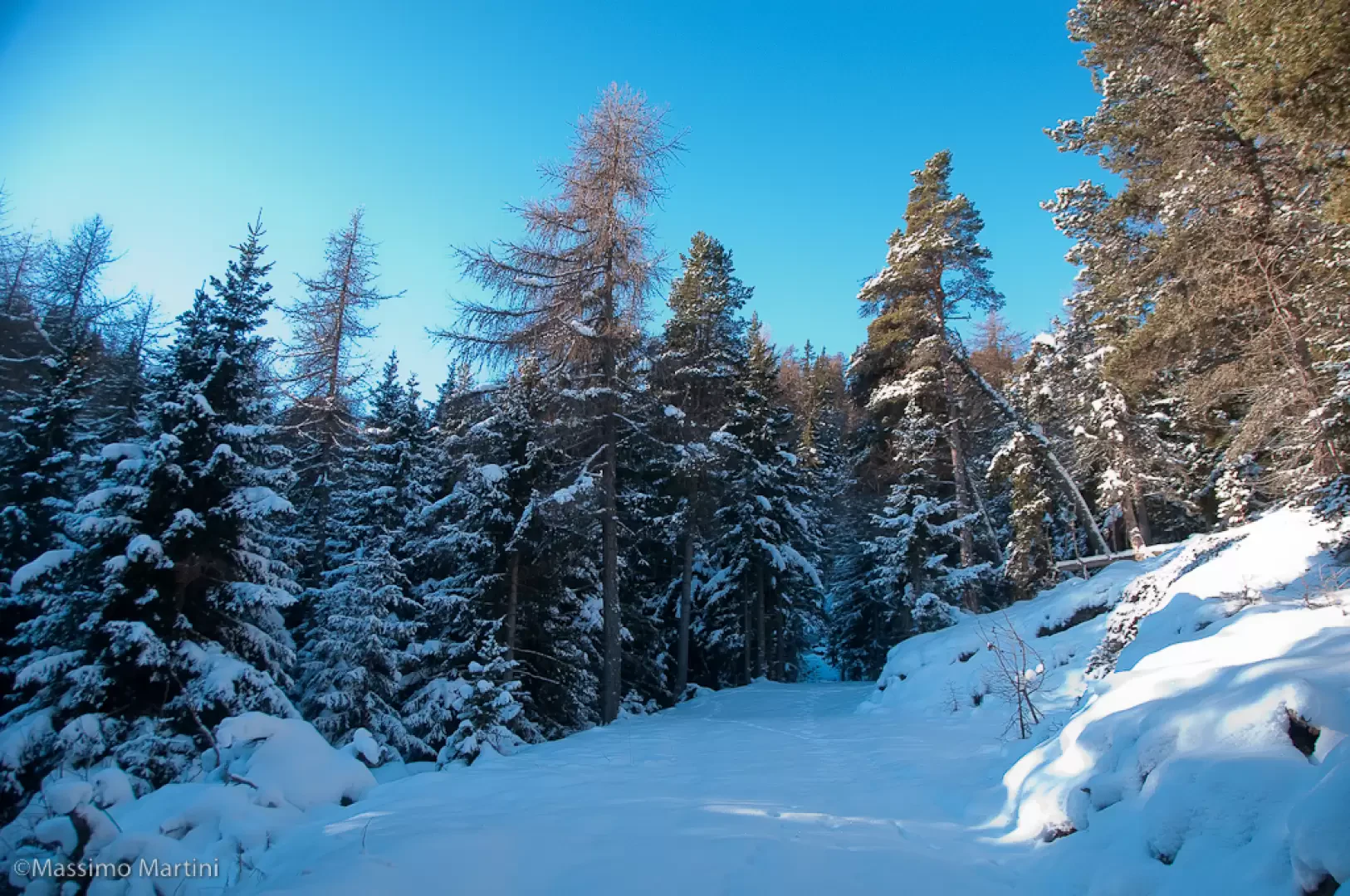
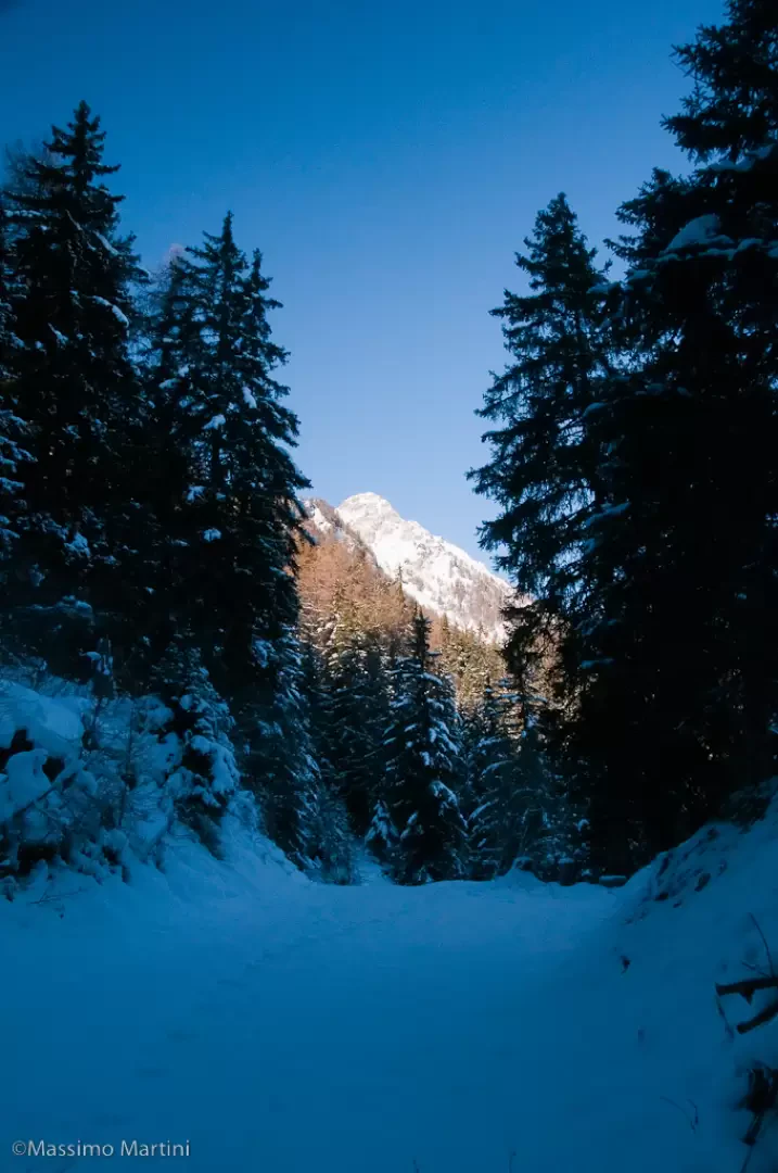
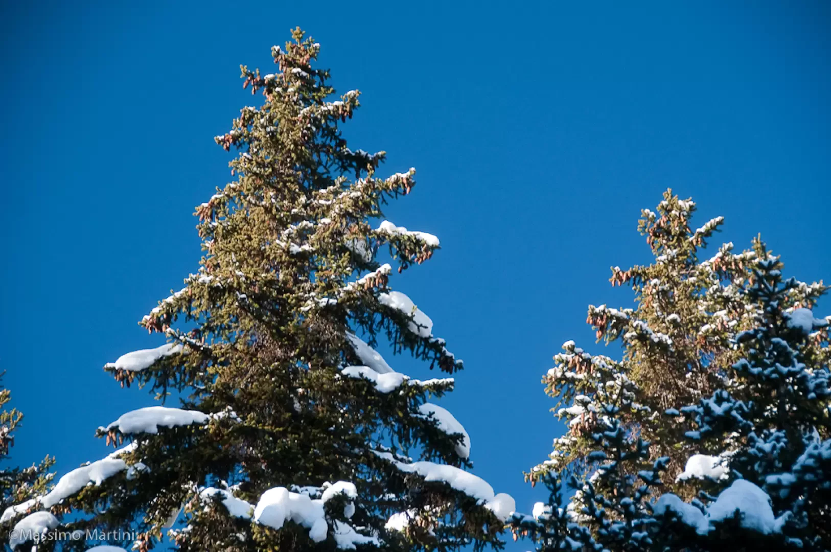
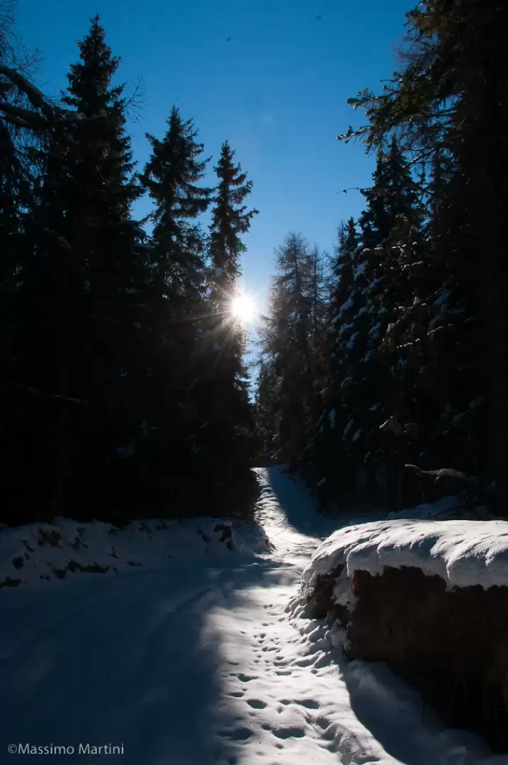
Photo gallery
Comments (0)
Sign in to leave a comment