Brengon, from Promiod


Edited by:
Massimo Martini
Updated at: 08/05/2025
Access
Leave the motorway junction of Châtillon, turn left and proceed for about 300m until you come to a roundabout: take the third exit and continue straight on Via E. Chanoux. Cross the historic centre of Châtillon for about 600m and then turn slightly right onto Via Menabreaz to follow for 450m to the characteristic roundabout with the "Matterhorn" inside. Take the second exit and take the Valtournenche road for about 7.6km to Antey-Saint-André, where you turn right onto the to La Magdeleine. Climb up the regional road for 4.6km until you reach the junction for Promiod. Follow the small communal road to the right for 1.4km until you come to a large free car park on the left 🅿️ where you can leave your car.
[0h23'] - [14.9km]
How to get there with GMaps
How to get there with Apple Maps
These directions are based on direct verification carried out when the route was surveyed, so the information should be checked before setting off. We recommend using a GPS navigator or map app on your smartphone to get up-to-date and detailed directions.
Introduction
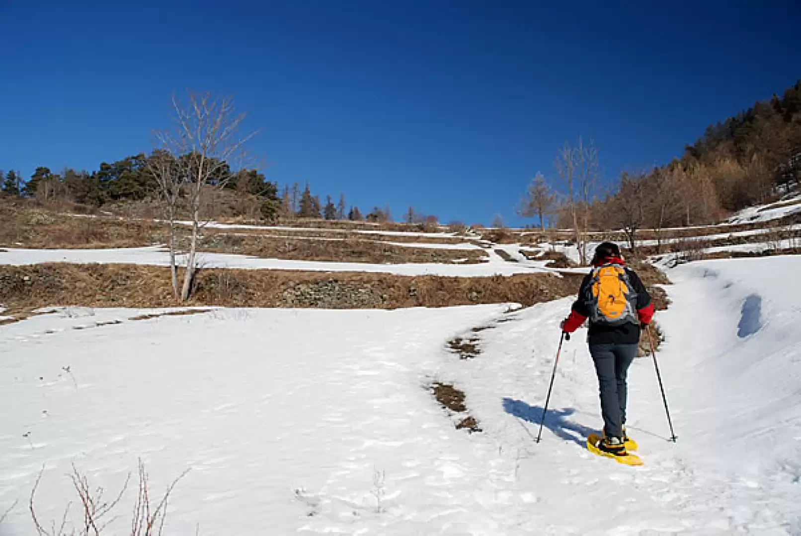
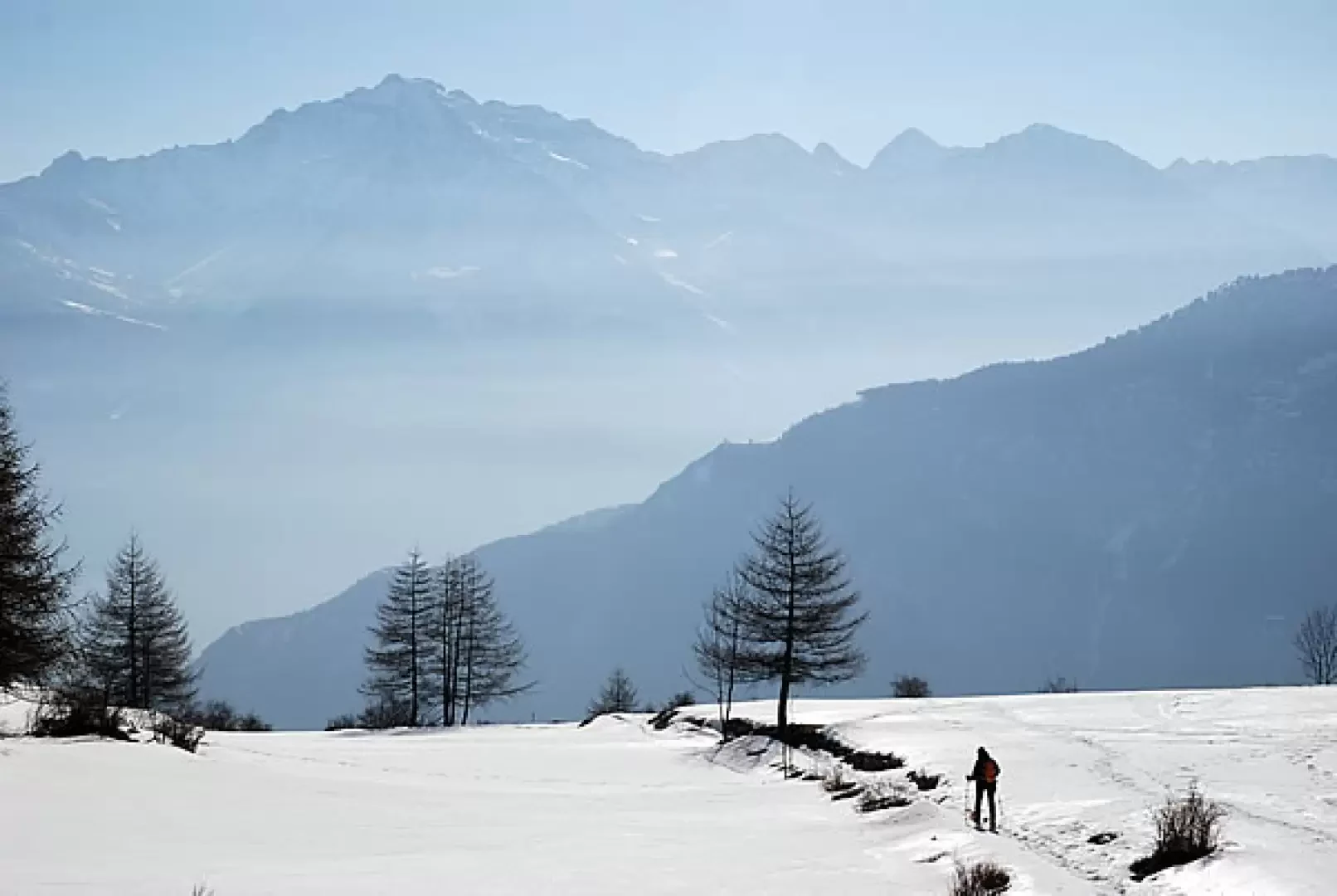
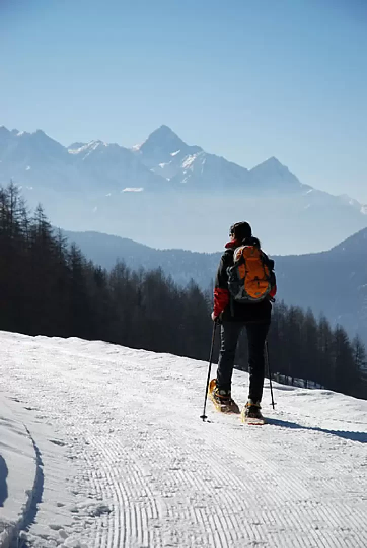
Simple walk through the woods of the middle Valtournenche. Short, easy and scenic: a good starting point for taking your first steps with snowshoes.
Description
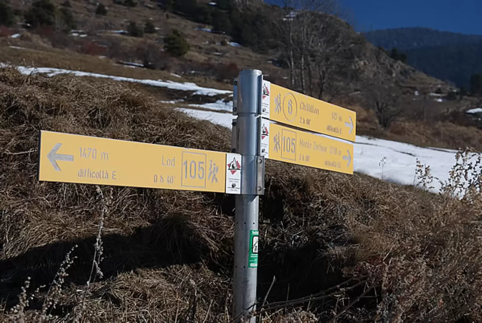
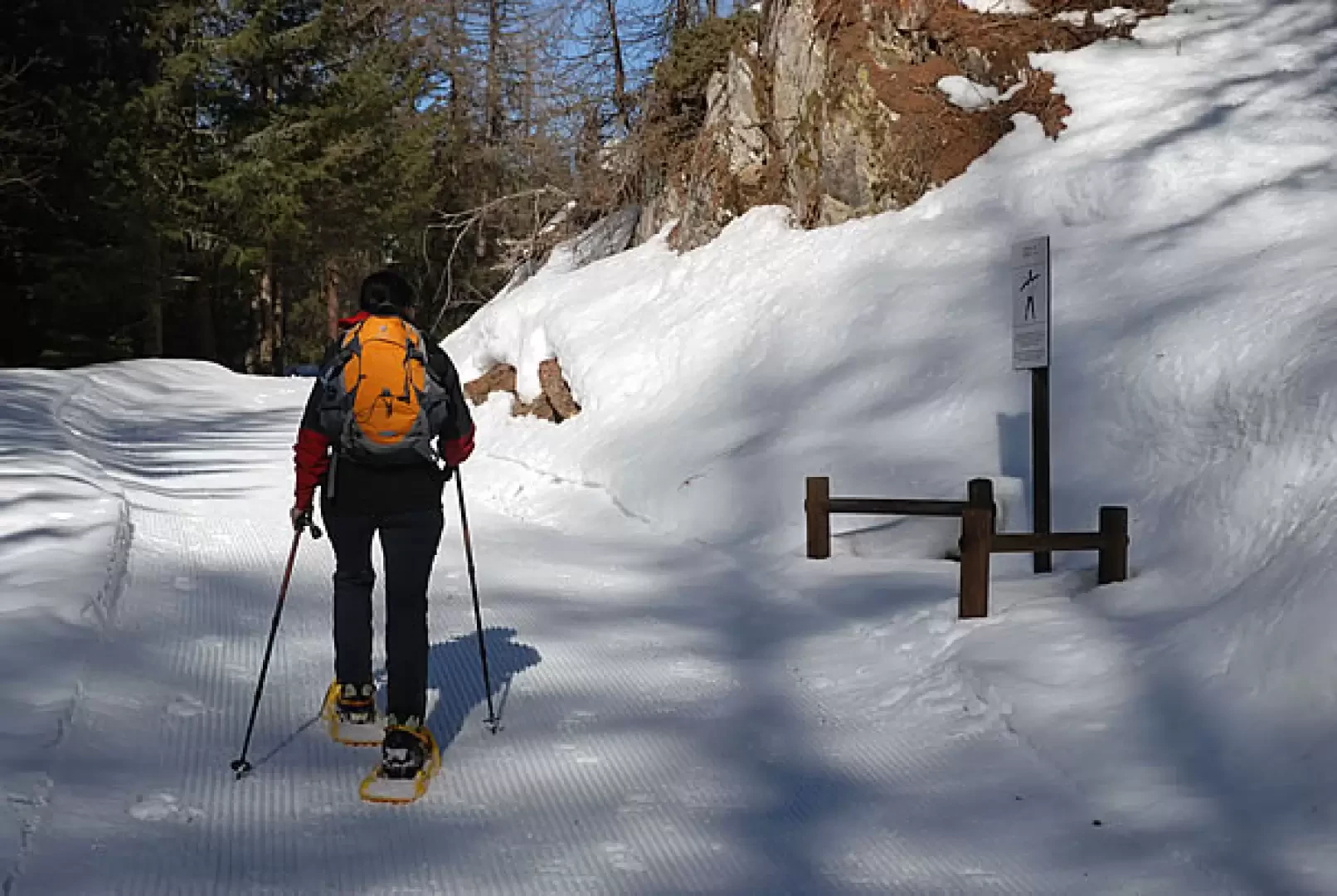
At the start you immediately come to a signpost: take the small road to the left, following the signs for path
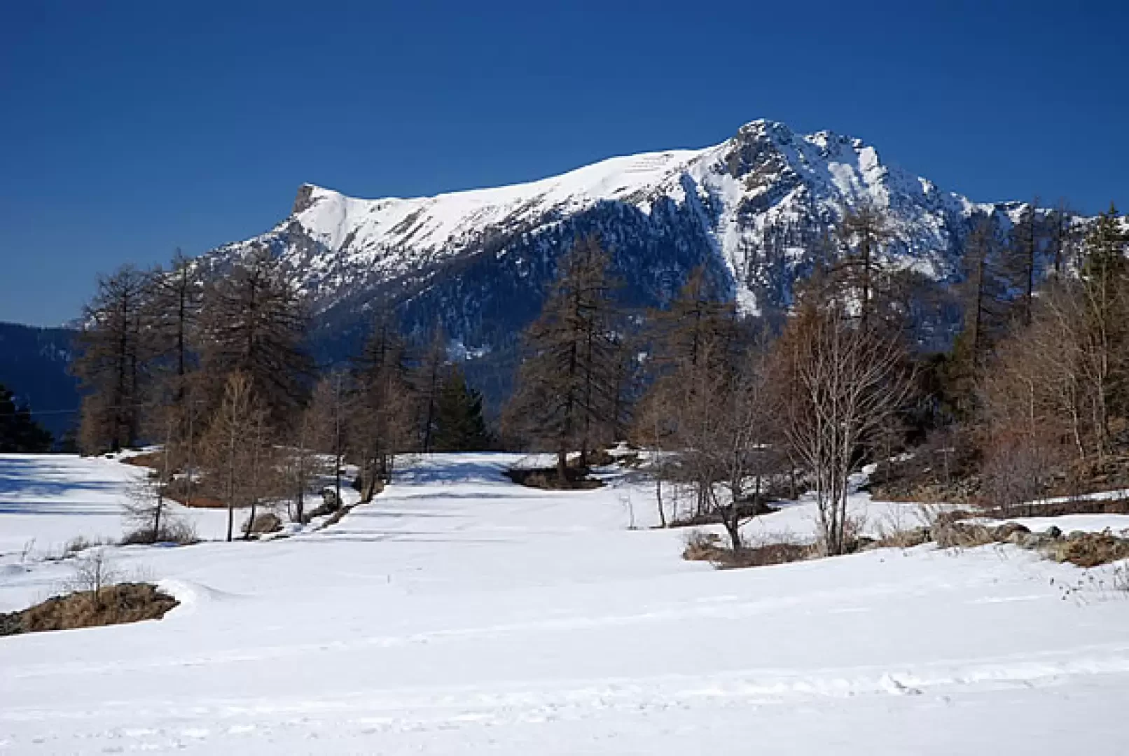
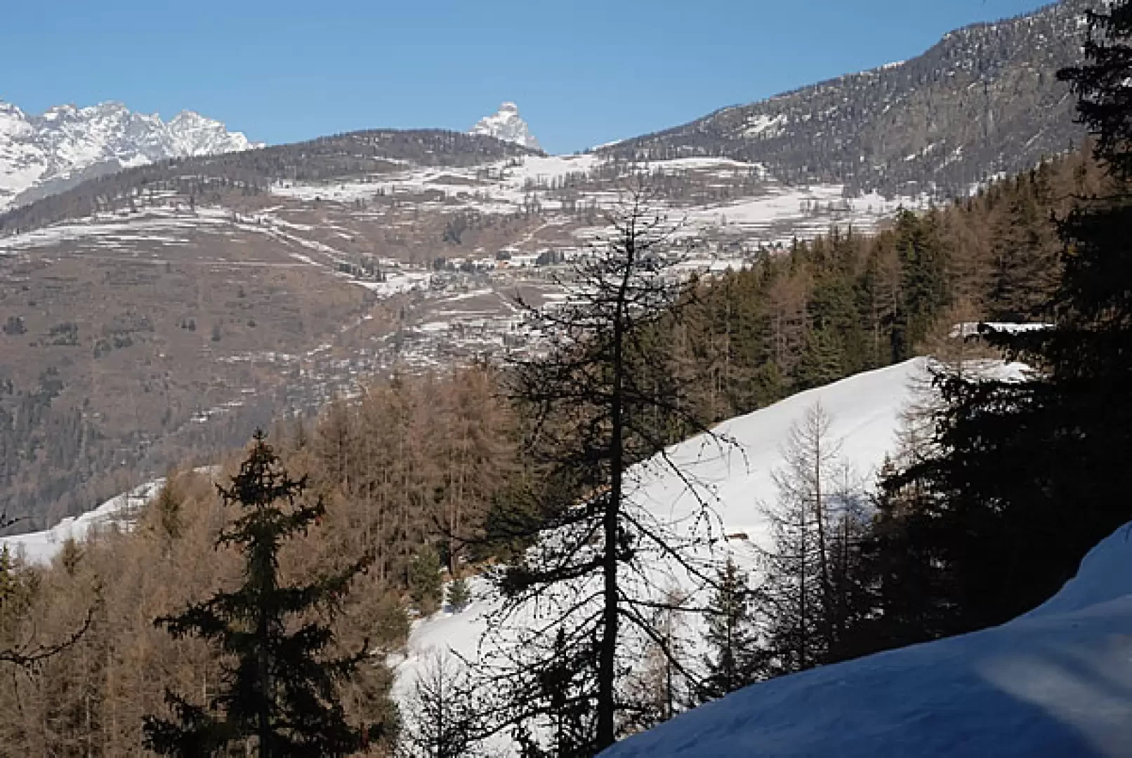
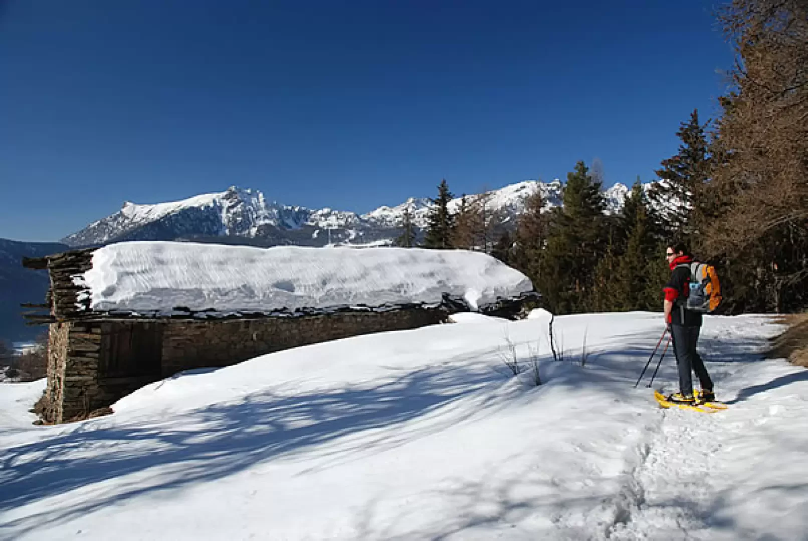
to Lod. After a few hundred metres, leave the small road/trail to take a mule track. You ascend a short slope through some terracing until you reach the edge of the wood: in this section, the view of the not far away Becca d'Aver is interesting. One enters the forest, passing a short ascent until one comes to a wooden railing and a beautiful view of La Magdeleine and the Matterhorn. The climb ends and the route crosses the ridge halfway up the mountainside, with some ups and downs, until it reaches the ruins of Parafromia (1620 m, 0h30'): an interesting panorama of the peaks of the central valley... well worth a short stop!
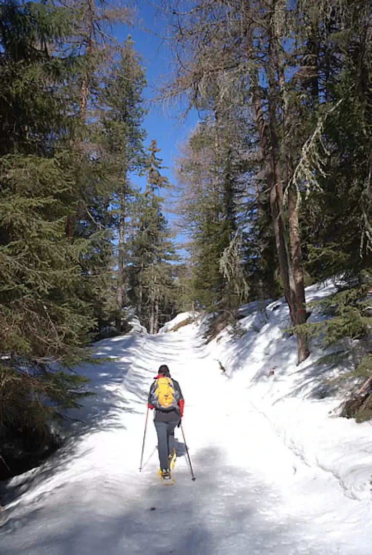
We continue almost flat until we join a track, normally taken by the snowcat: the route now follows the health trail that departs from our destination, Brengon. We cross the beautiful fir forest, skirting the stops on the health trail. After a series of ups and downs, you begin to descend and, after a small turn to the left, leave the forest, finding a beautiful view of La Magdeleine in front of you. You cross a beautiful snow-covered pasture and reach the cemetery of Brengon (1655 m, 1h15').
The beaten track ends here, but it is advisable to continue with snowshoes in your sack to reach Brengon (1643 m), the characteristic main town of La Magdeleine.
The return trip is along the same route as the outward journey (1h00').
Photo gallery
Comments (0)
Sign in to leave a comment