Being the highest peak in Europe, it is coveted by all mountaineers and, consequently, also very popular, as it has numerous ascent routes that reach it both from the ridges and difficult rock routes and from the various glaciers that descend from it. The ascent, in spite of the not excessive height difference, is quite tiring due to the altitude that certainly plays an important role in the effort of the progression, which however does not require much technical effort except on the overhead section of the ridge beyond the Cabane Vallot. The most dangerous section is undoubtedly the crossing of the 'Grand Couloir', where many stones fall, which should be done as quickly as possible.
Description
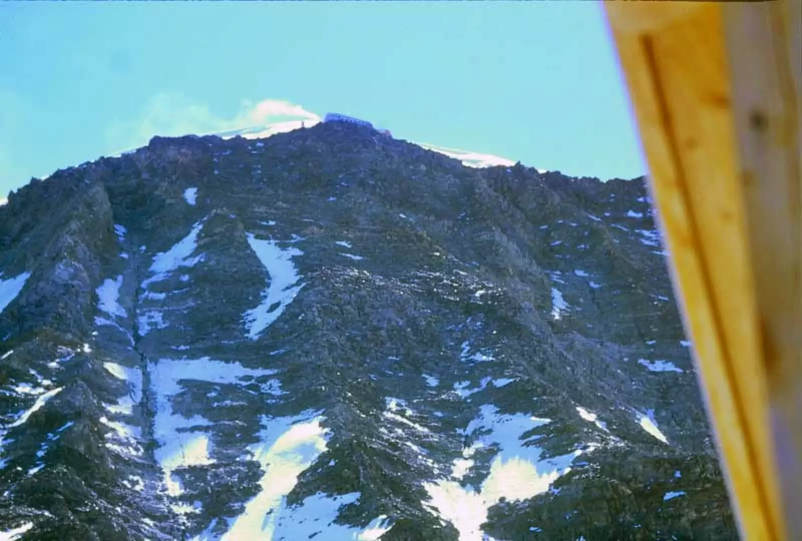
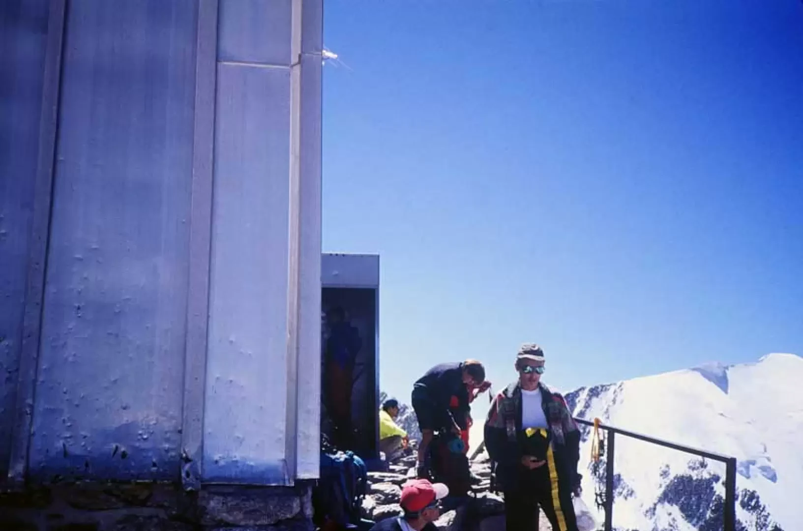
Day 1: From Les Houches take the cable car up to Bellevue station (1770m) where you take the little cogwheel train to Nid d'Aigle (2372m). Once there, follow the obvious path that first goes in the direction of the glacier, then climbs to the left in a scree slope and then heads up a rocky spur with numerous hairpin bends to the Aiguille du Goûter. When you come to a small stone cairn, you are close to the small Tête Rousse glacier, where the Tête Rousse hut can be seen on the right, which can be reached with a short diversions. Climb the rocky ridge a little further up to cross the glacier higher up and arrive at the "Grand Couloir", a wide gully of snow and rocks, where there are fixed ropes to make it easier to cross, taking great care to avoid the frequent falls of stones. At the end of the gully, climb up the trail on the spur of unstable rocks and fine debris, also helped by a few fixed ropes, and where, at its end, you will find the Goûter hut.
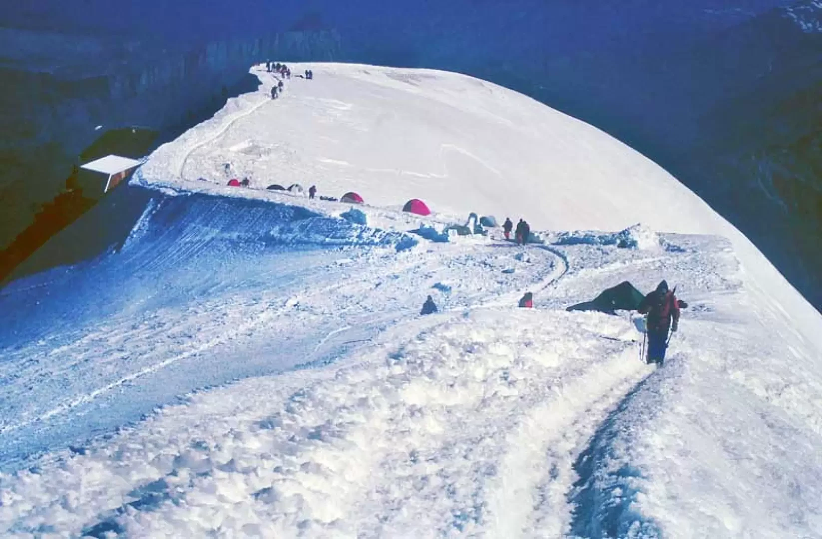
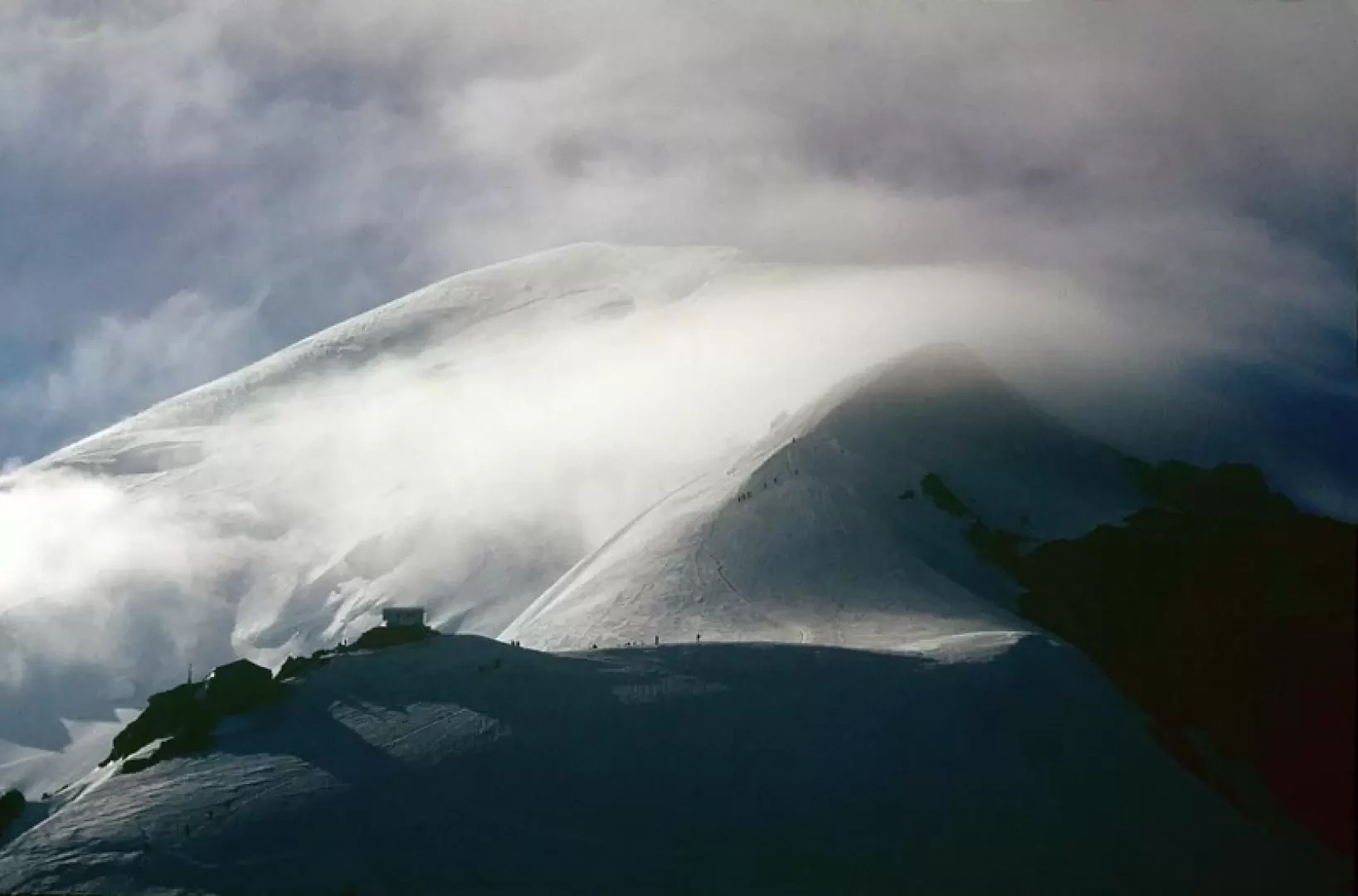
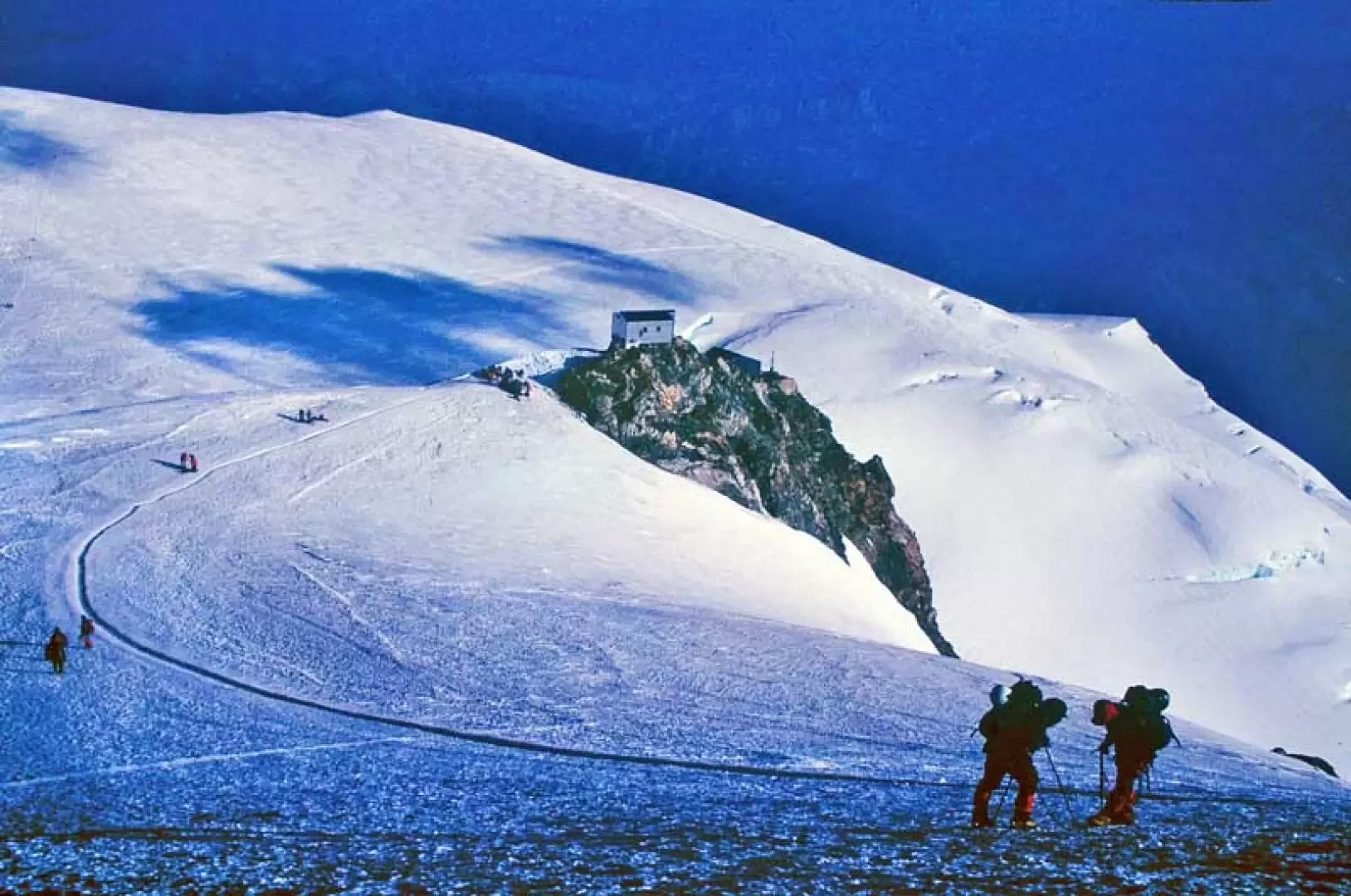
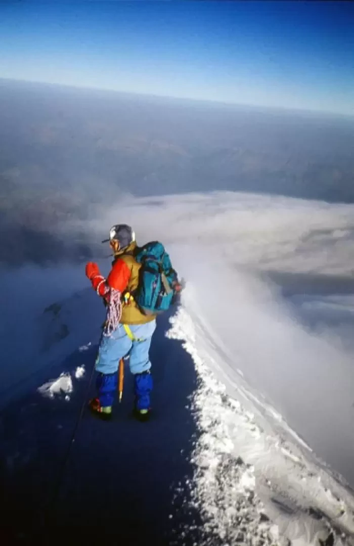
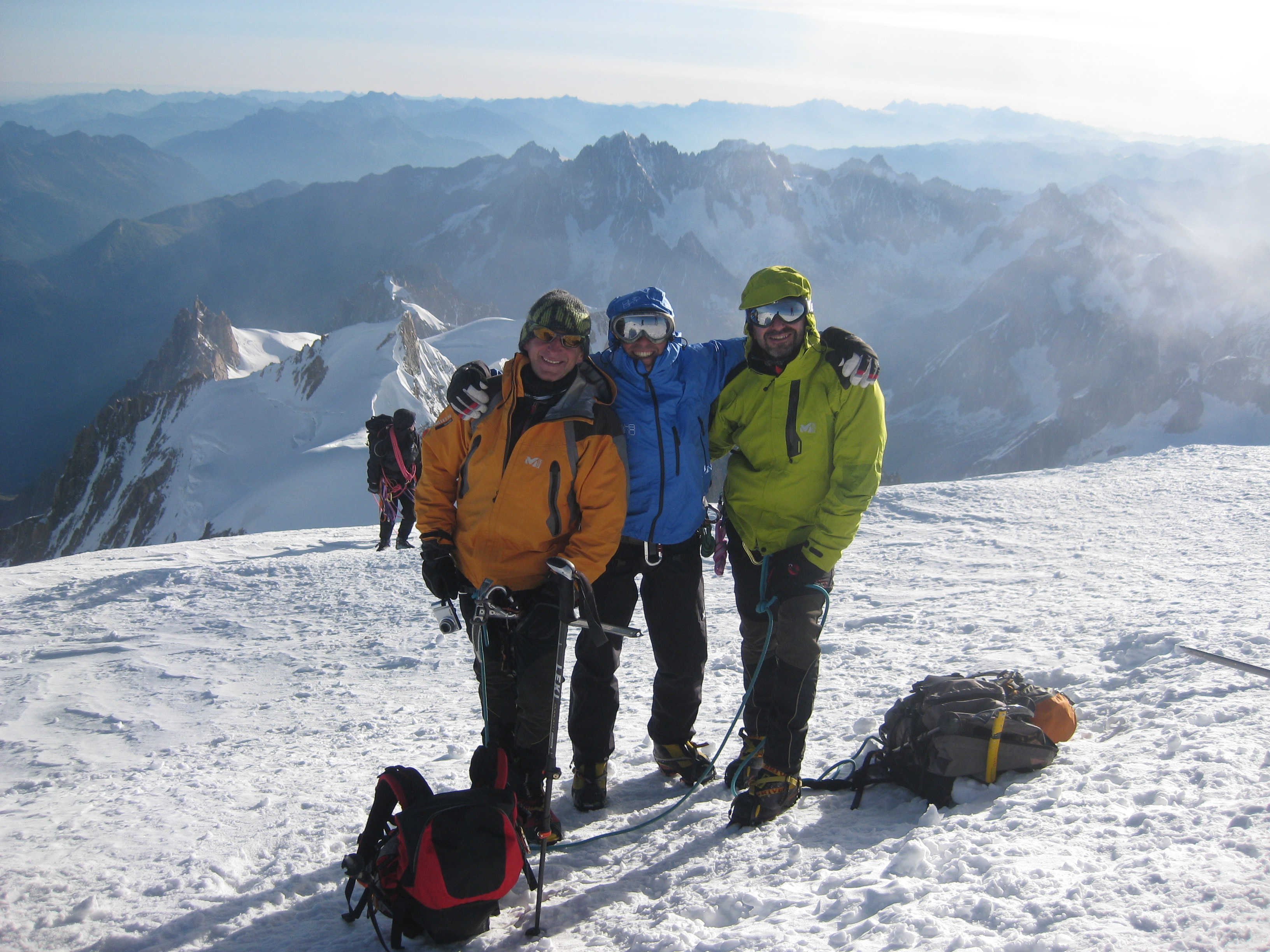
2nd day: From the hut, walk up a gently sloping section to the summit of the Aig. du Goûter (3863m) to continue on the glacier, with a steeper route, aiming at the wide summit of the Dôme du Gouter (4304m) which you do not reach, however, and turn around to descend towards the wide col du Dôme. From this point, having in front of you the rocky islet where the Vallot hut is situated (4362m), you reach it on the somewhat steep track and then continue along the crest, always on a sustained slope; you climb the two peaks of the Grande Bosse (4513m) and the Petite Bosse (4543m) respectively, and pass the rocky outcrops of the Tournette (4677m) to the left. The summit, now close by, is reached by an aerial route over the thin ridge to the summit peak.


Comments (0)
Sign in to leave a comment