


Edited by:
Rita Tarussello
Cima Bianca
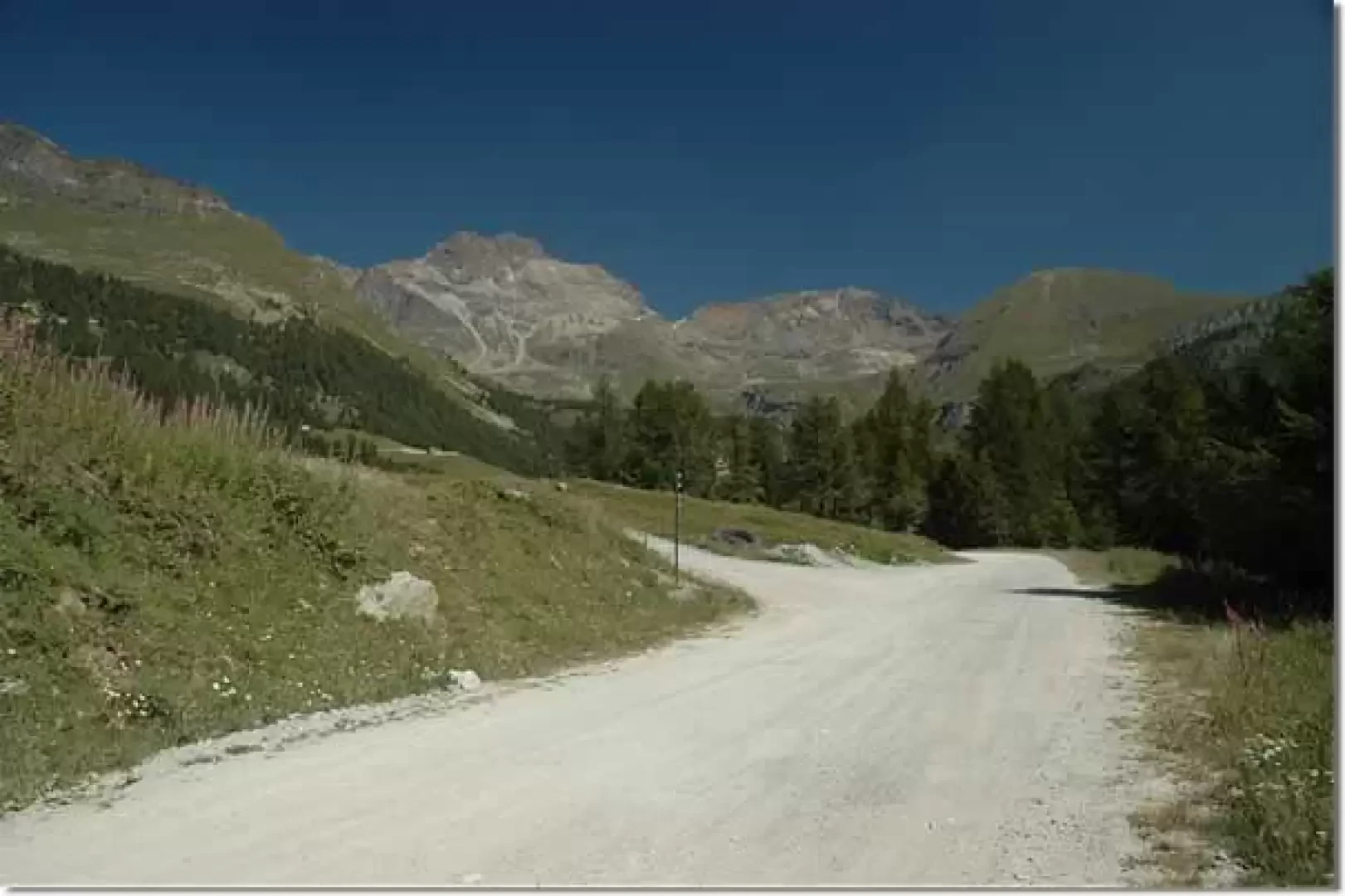
Bella escursione su una vetta tra la Valtournenche e la Valle di Saint-Barthélemy. Noi abbiamo seguito la poderale fino a Lo Ditor: cinque chilometri e mezzo quasi pianeggianti, molto noiosi specie al ritorno. La segnaletica dopo il bivio per il bivacco Tzan andrebbe riveduta e corretta. Parte con bolli n. e poco dopo diventa !! Riportiamo la relazione così come fatta domenica 1 agosto 2010.
Riportiamo la relazione così come fatta domenica 1 agosto 2010.
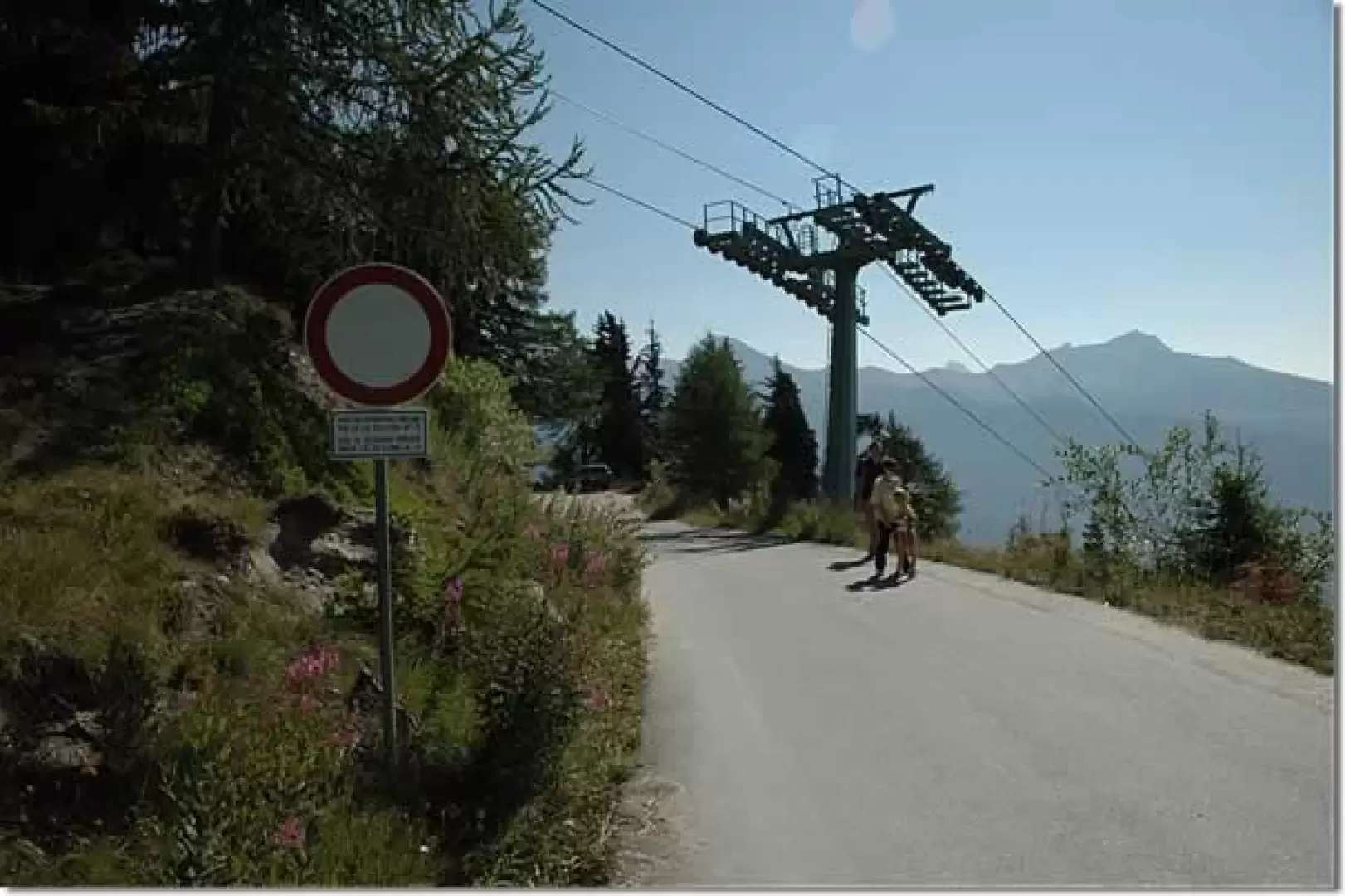
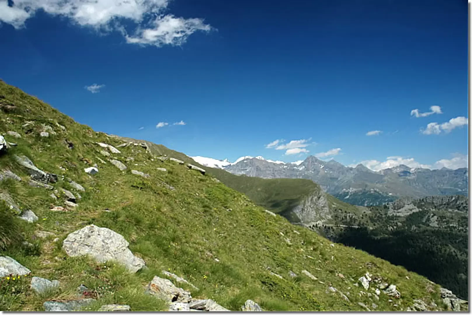
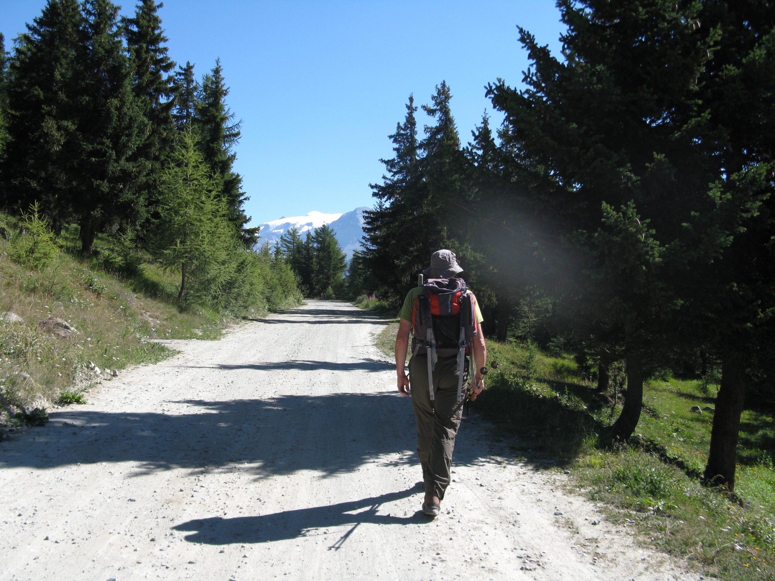
Lasciata l’auto a quota 1889 si prosegue a piedi in direzione nord sulla lunga poderale in leggera salita che in un’ora conduce al piano di Lo Ditor (1910 m). Qui il torrente Petit Monde forma una zona umida di torbiere e stagni che fanno del posto un sito di interesse nazionale. Si abbandona qui la poderale e per imboccare il sentiero che costeggia il Lo Ditor sulla sinistra idrografica salendo nel bosco di larici fino ad un dosso con terrazza panoramica.
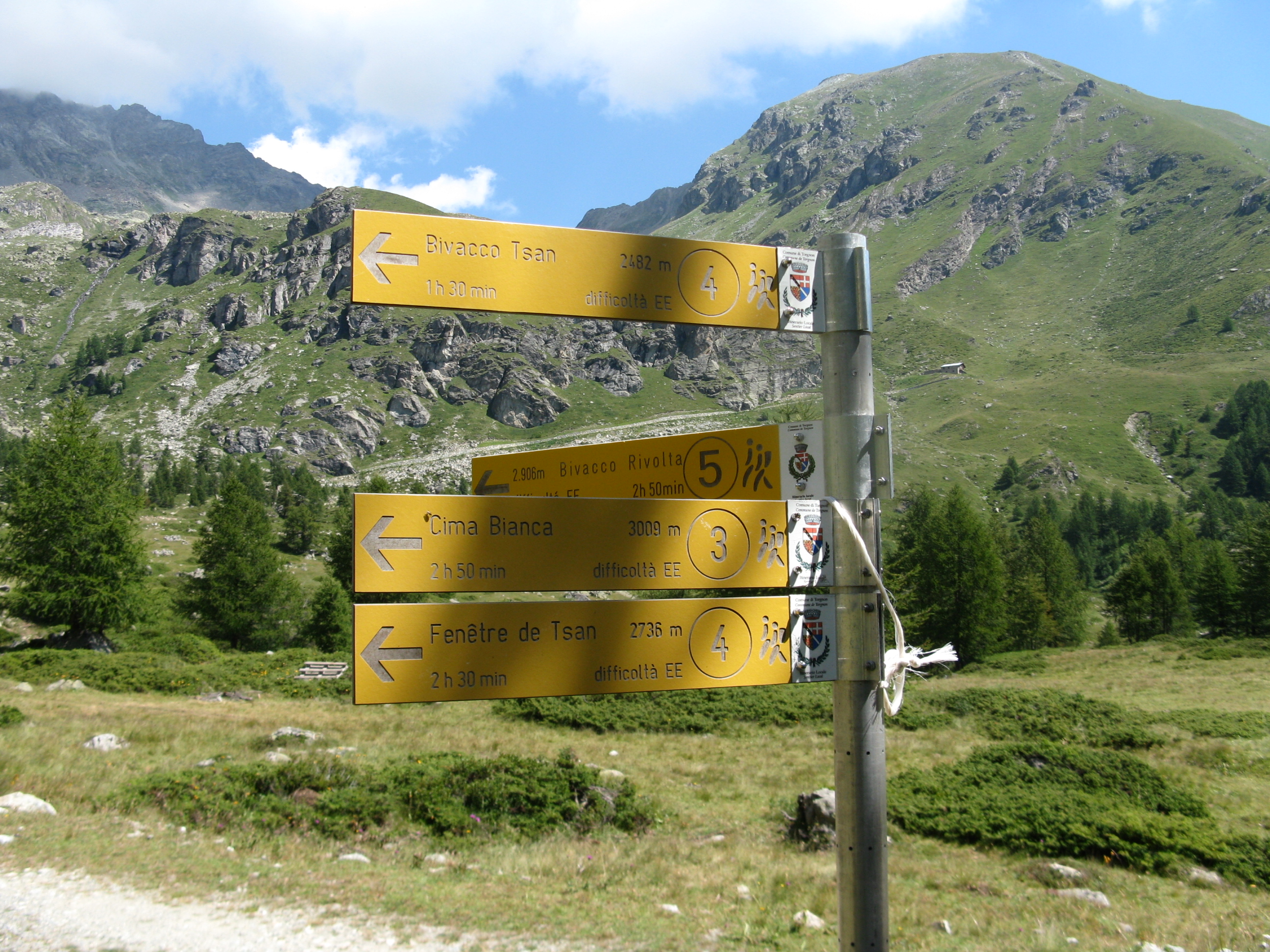
Si continua sul sentiero che, dopo un tratto pianeggiante, passa nei pressi del vecchio ospizio di Chateau (m 2088, ore 1:30’) Si attraversa una strada sterrata che conduce ad un bel pianoro. Sulla sinistra è evidente una palina con le indicazioni dei diversi sentieri. I numeri e conducono al Lago Tzan e alla Cima Bianca.
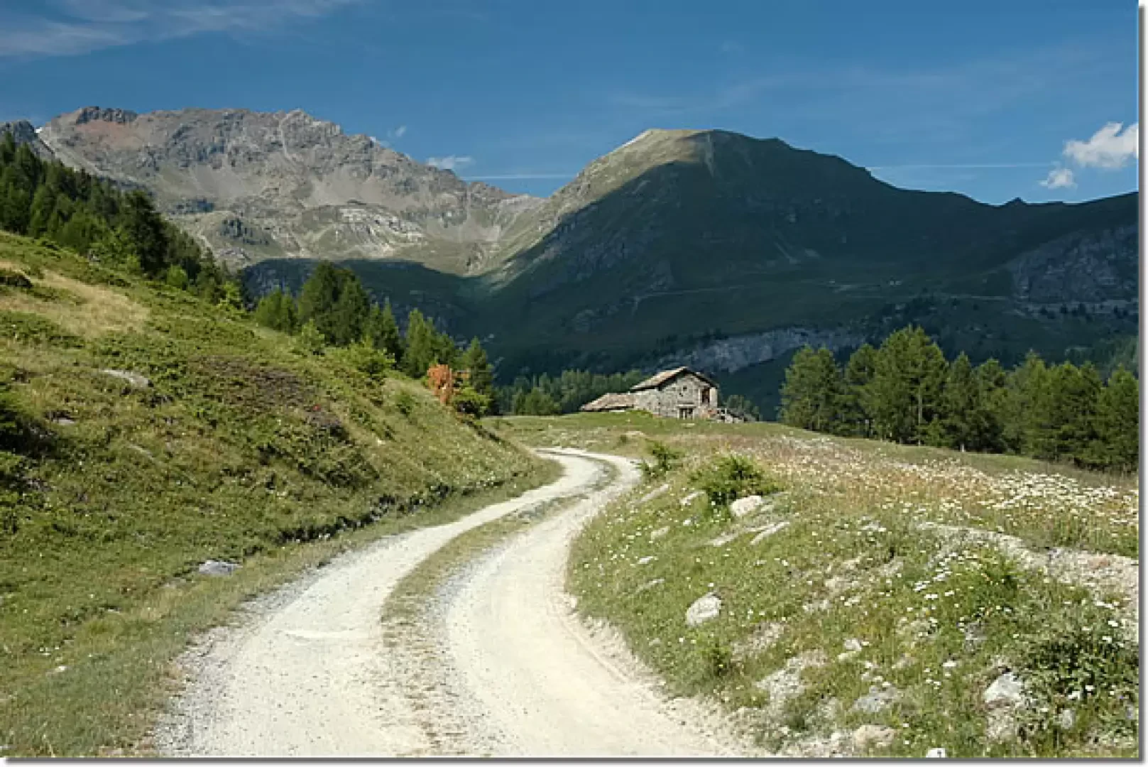
Si seguono le indicazioni risalendo un prato e pervenendo all’alpeggio Crotte de Loup, ormai completamente crollato. Il sentiero si inerpica ora tra larici più radi e vallette erbose poi volge a destra risalendo una costa di dossi rocciosi.
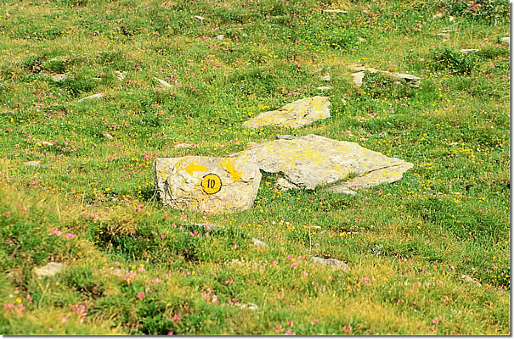
A quota 2131 si trova il bivio: il sentiero di destra conduce al bivacco Tzan e all’omonimo lago, quello di sinistra continua per la Cima Bianca (fin qui ore 2). Durante il percorso su prati e roccette in leggera salita si trovano invece bolli . Continuare comunque in direzione sud (attenzione a mantenere la traccia che spesso, sul prato, si perde).
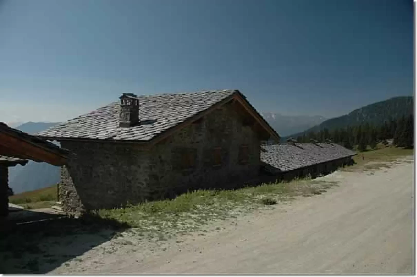
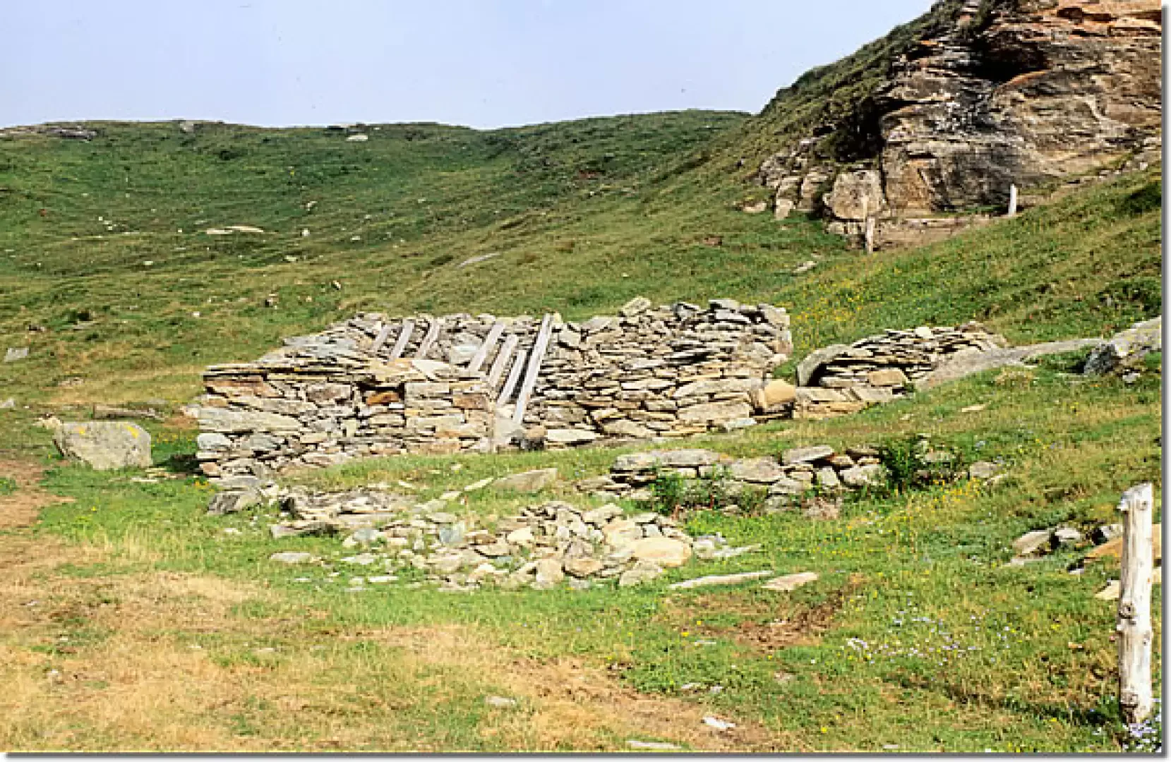
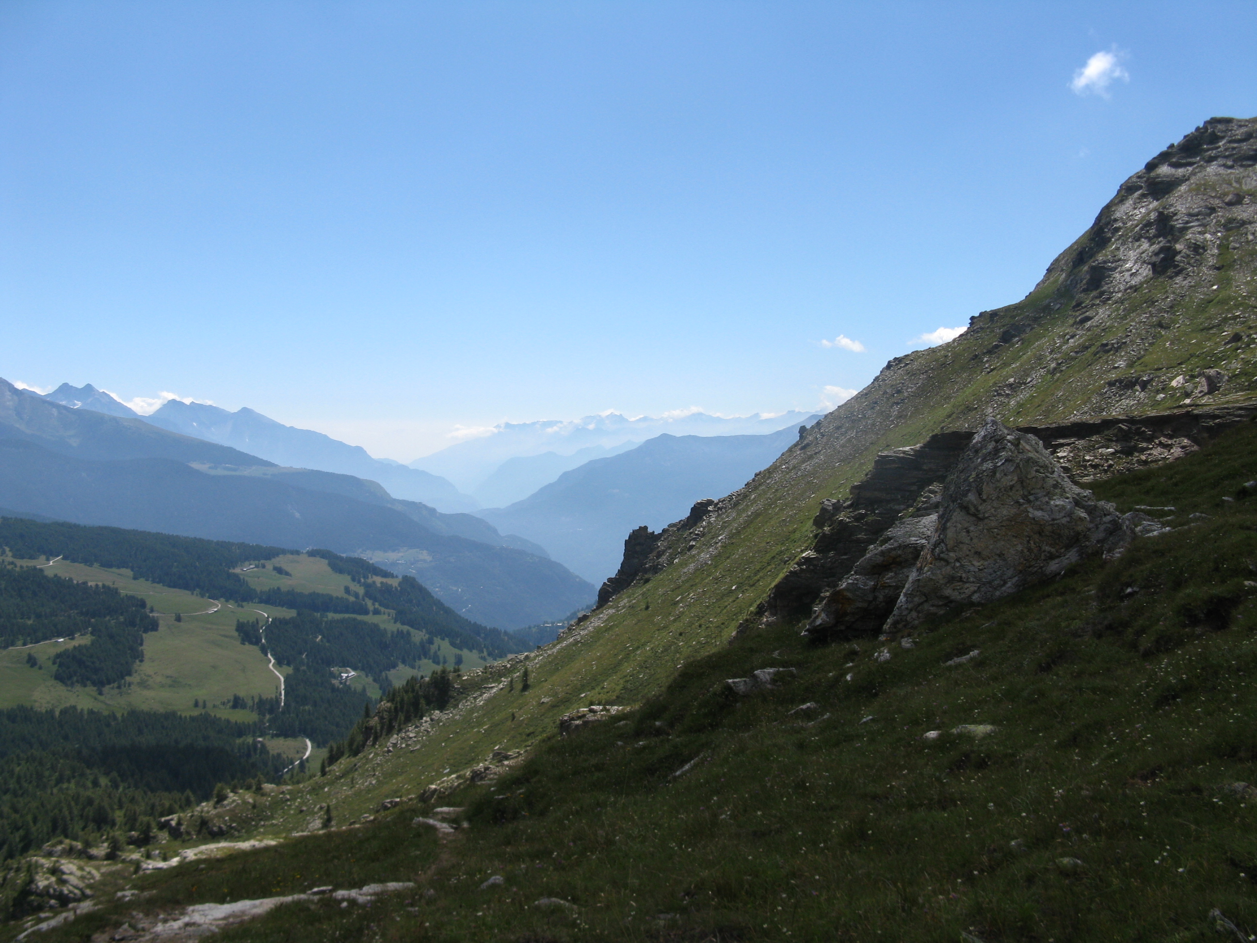
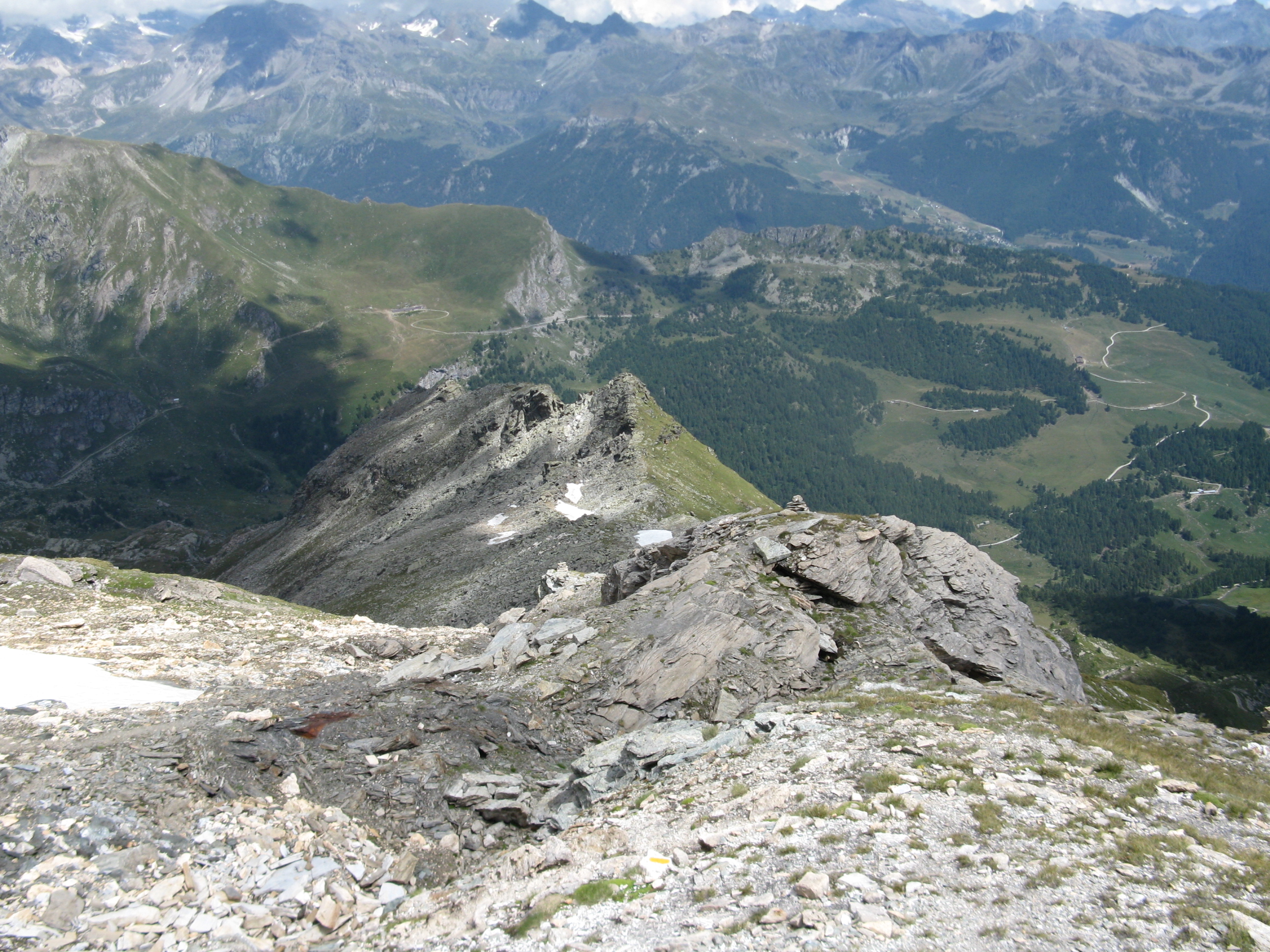
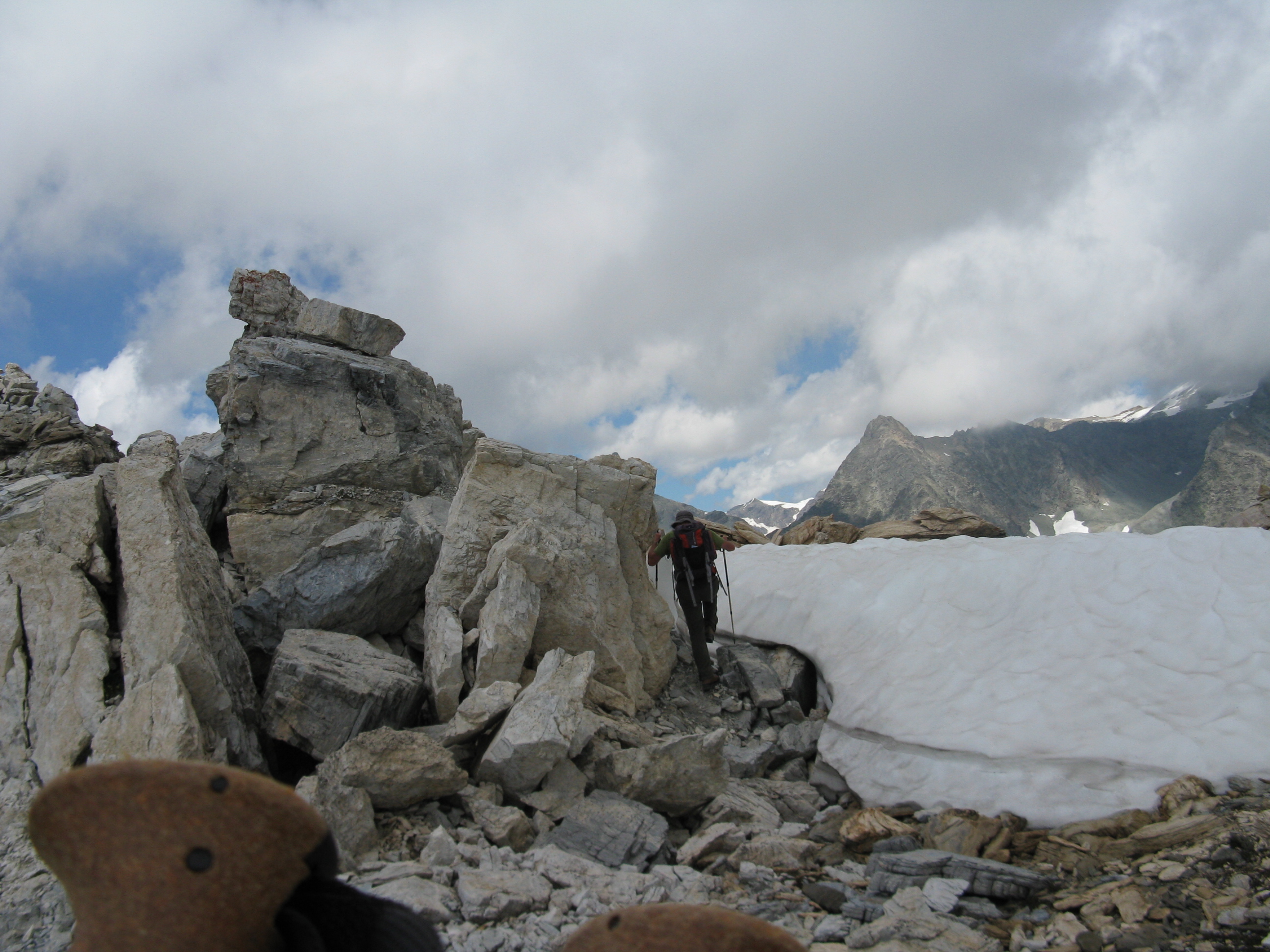
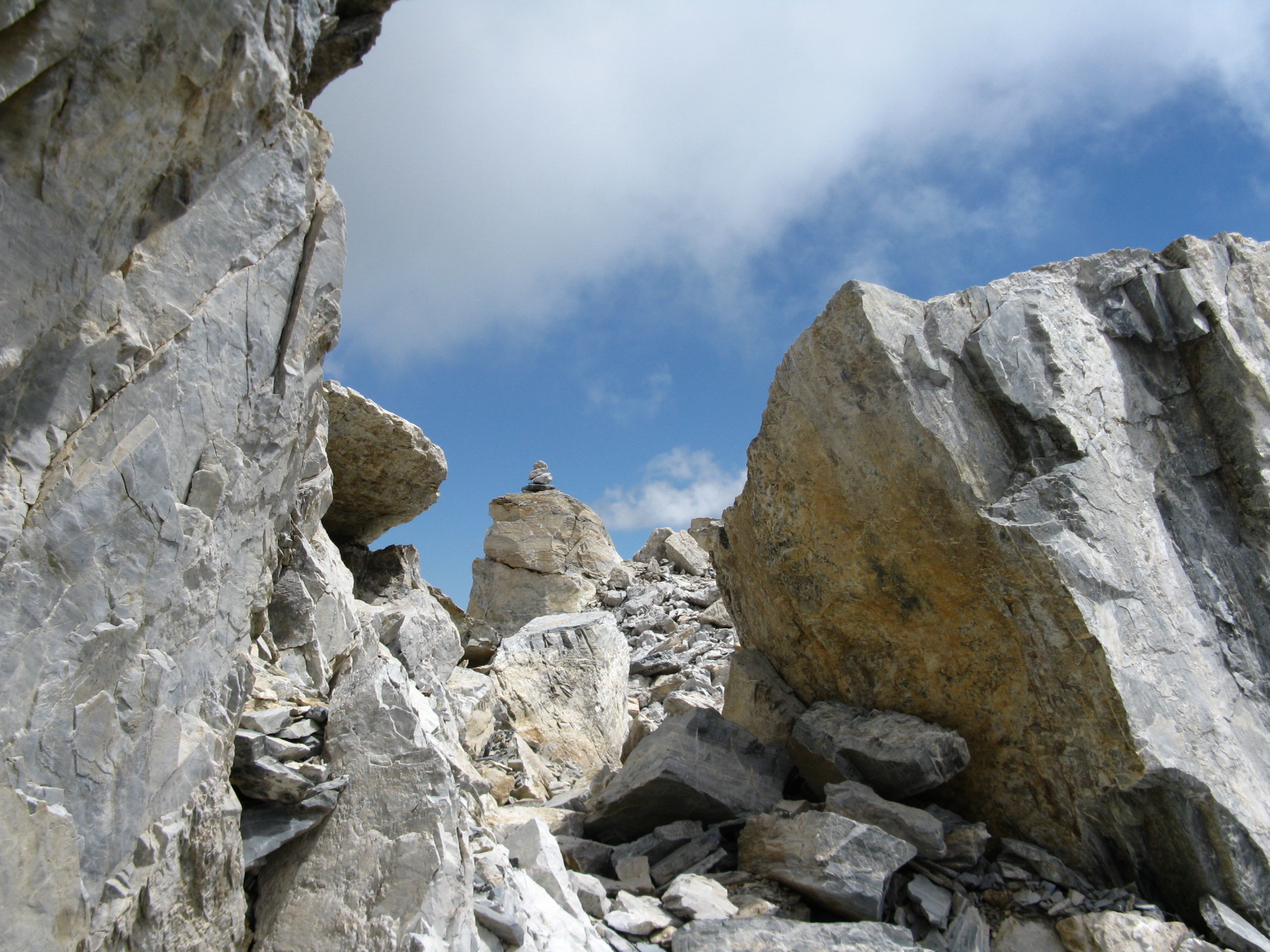
Giunti ad una valletta si incontrano i ruderi dell’alpeggio di Erbion (m 2522) che si costeggia sulla sinistra risalendo dossi erbosi e seguendo i segni gialli posti sui massi. Poco dopo la traccia si porta a sinistra (sud) e risale il fianco della dorsale su terreno detritico. La si raggiunge a quota 2775. Si continua ora da est verso ovest sull’ampia cresta che dapprima si presenta erbosa e successivamente a sfasciumi fino all’antecima a quota 2972.
Tra detriti e qualche roccetta ci si porta sul versante della Valle di Saint-Barthélemy, dove si perde leggermente quota transitando sotto roccioni calcarei e incontrando il sentiero che sale da Praz.
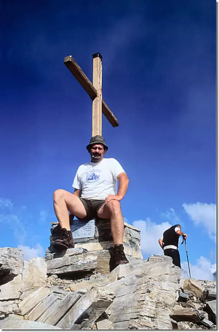
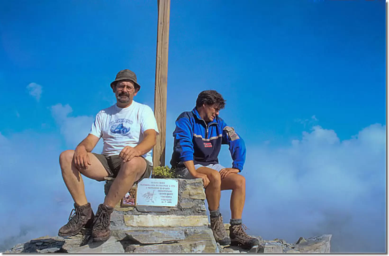
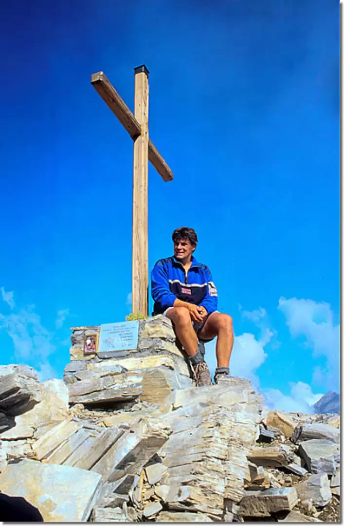
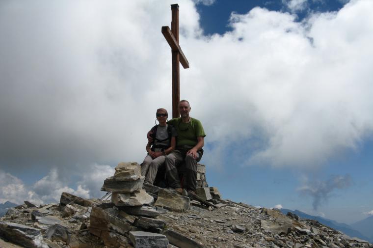
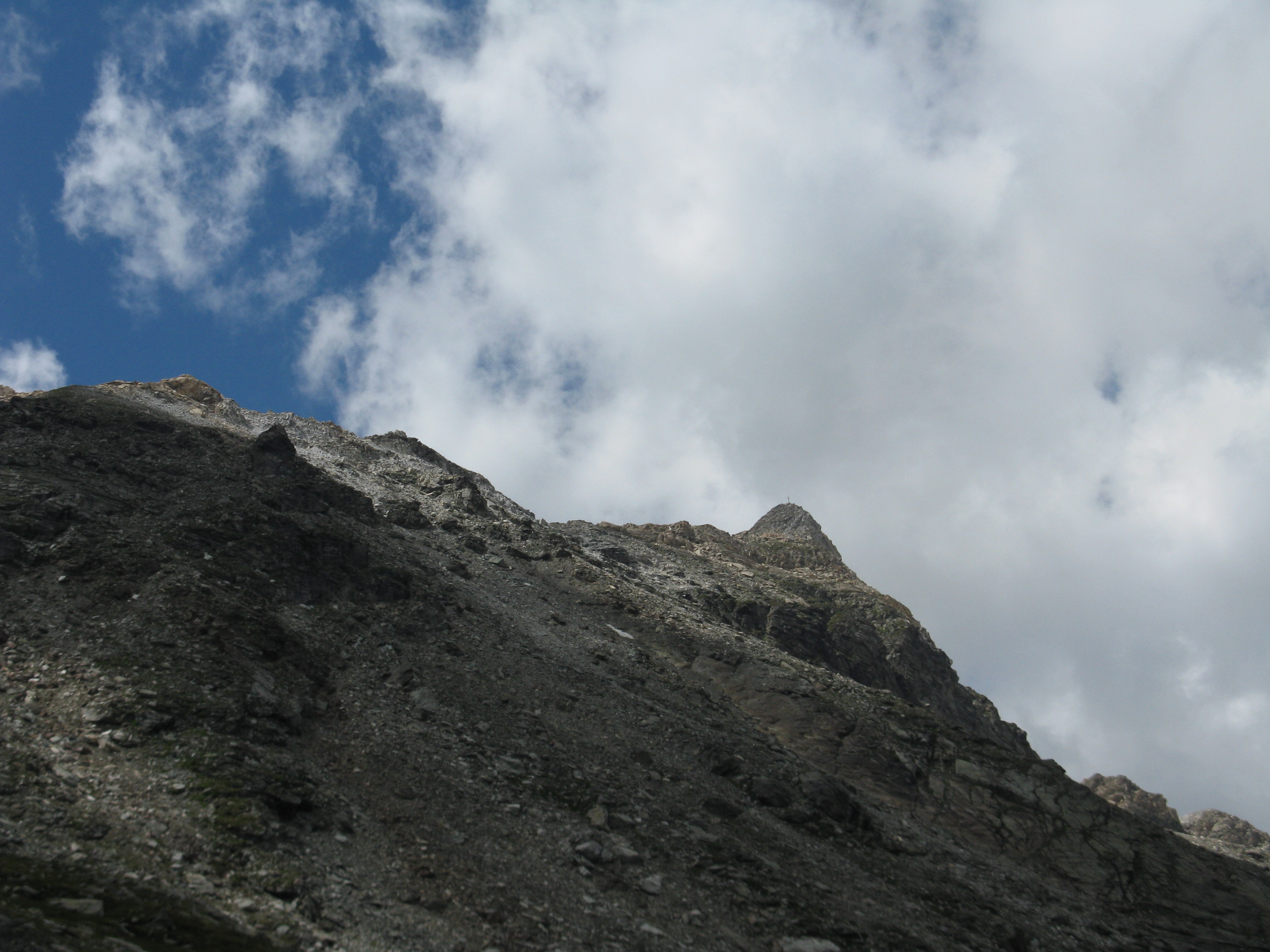
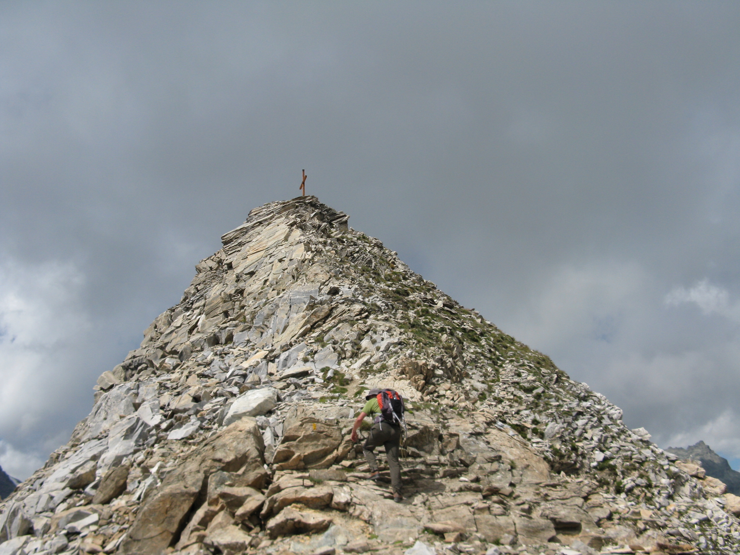
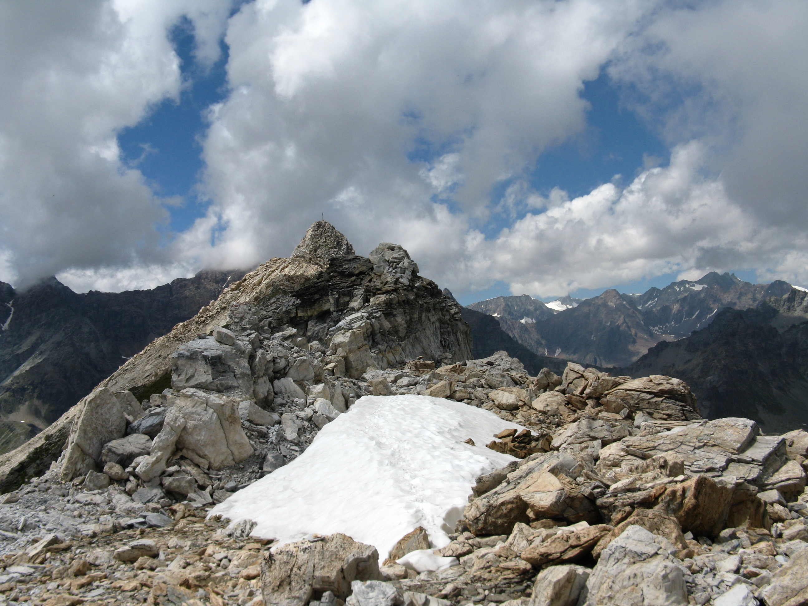
Si risale ripidamente a destra riportandosi sulla cresta ed infine si supera la cupoletta sulla quale è posta la croce di vetta. Tempo totale ore 4
Comments (0)
Sign in to leave a comment
Comments (0)
Sign in to leave a comment