Corno di Canzo Occidentale, from Canzo


Edited by:
Marco Bonati
Updated at: 10/09/2024
Access
From Milan to Erba and Canzo along the 'Valassina' state road. Just before entering the forecourt of the Canzo/Asso railway station, turn right and park in the large squares by the cemetery.
.Introduction
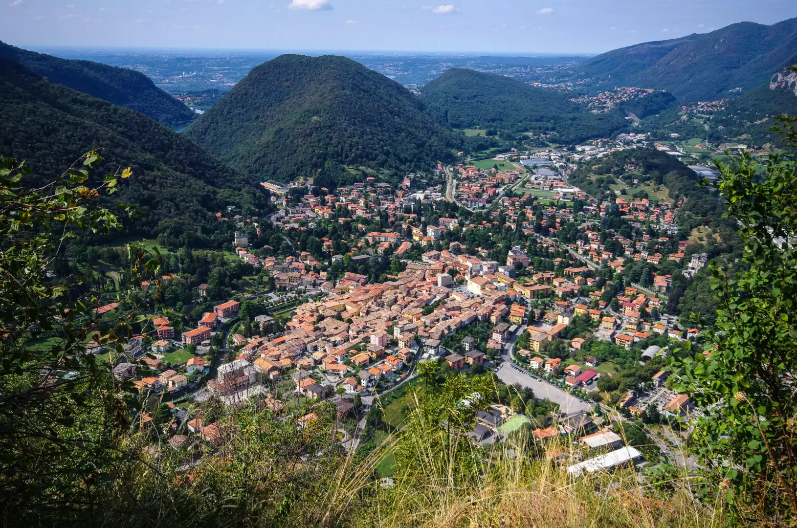
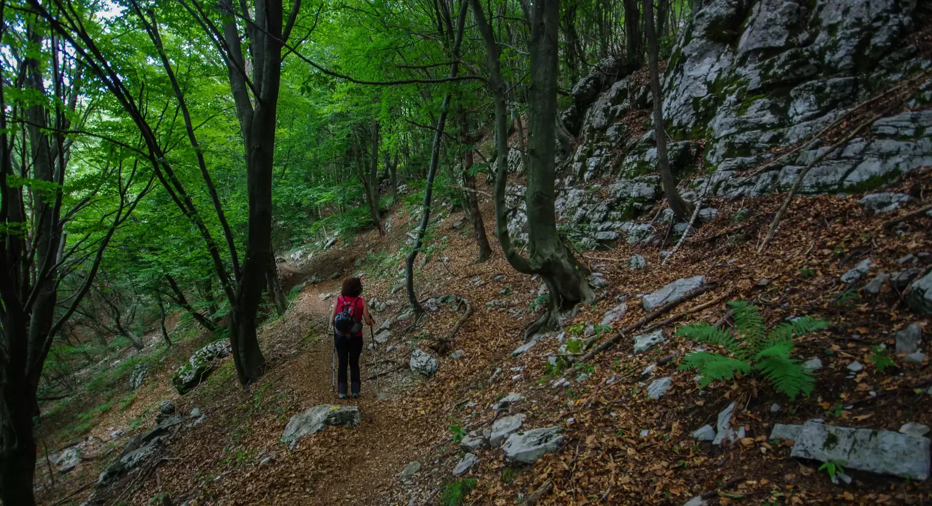
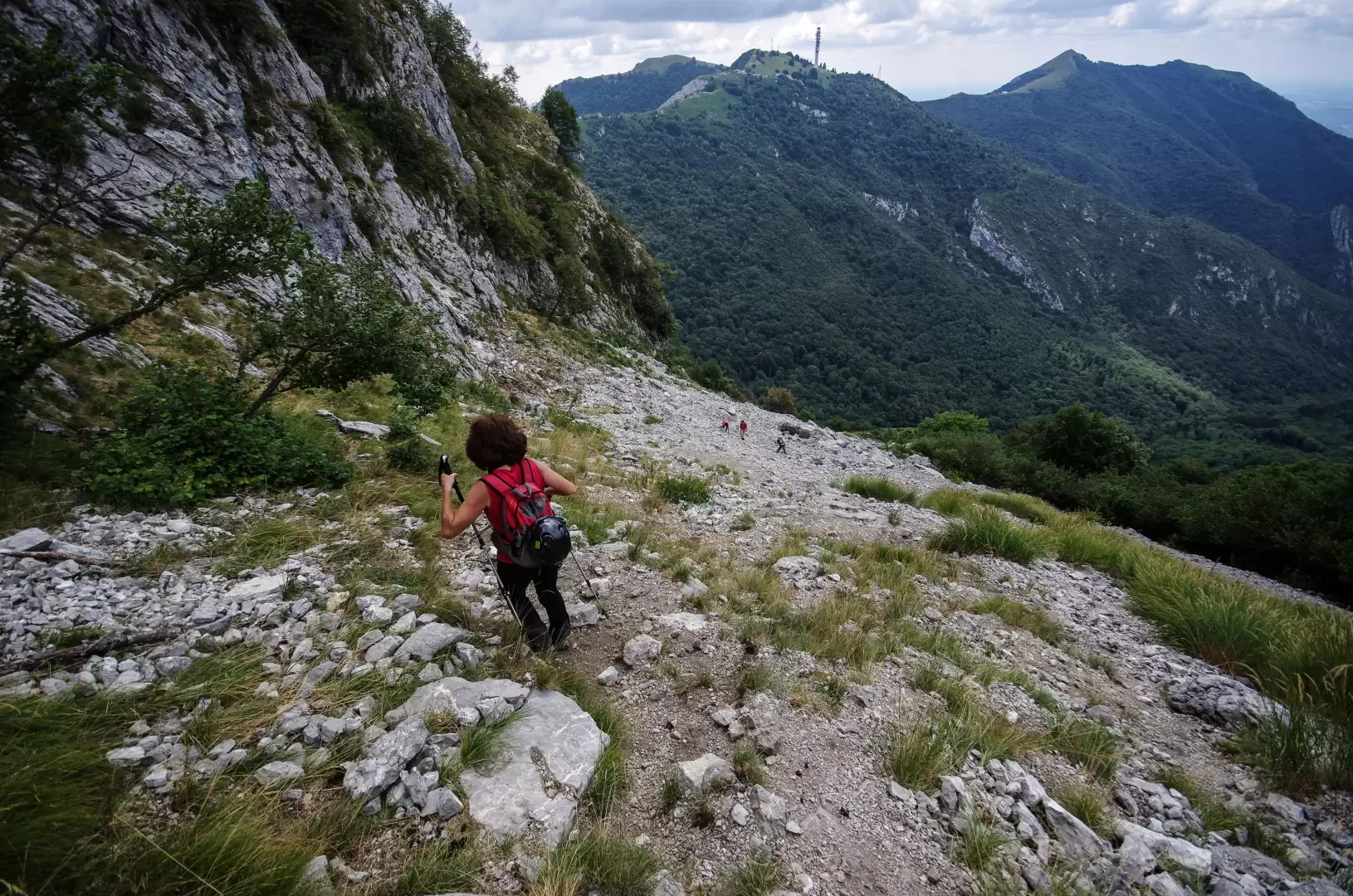
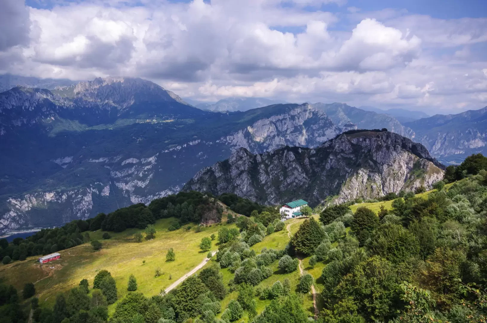
A long combination of well-known mid-mountain itineraries that encircle the Val Ravella, one of the most popular hiking locations in Lombardy. At length, wonderful beech forests are traversed, with spectacular views of the surrounding limestone peaks: Corni di Canzo, Monte Moregallo, Sasso Malascarpa, Monte Rai, Monte Cornizzolo. In the background, of course, the Grigne.
.Description
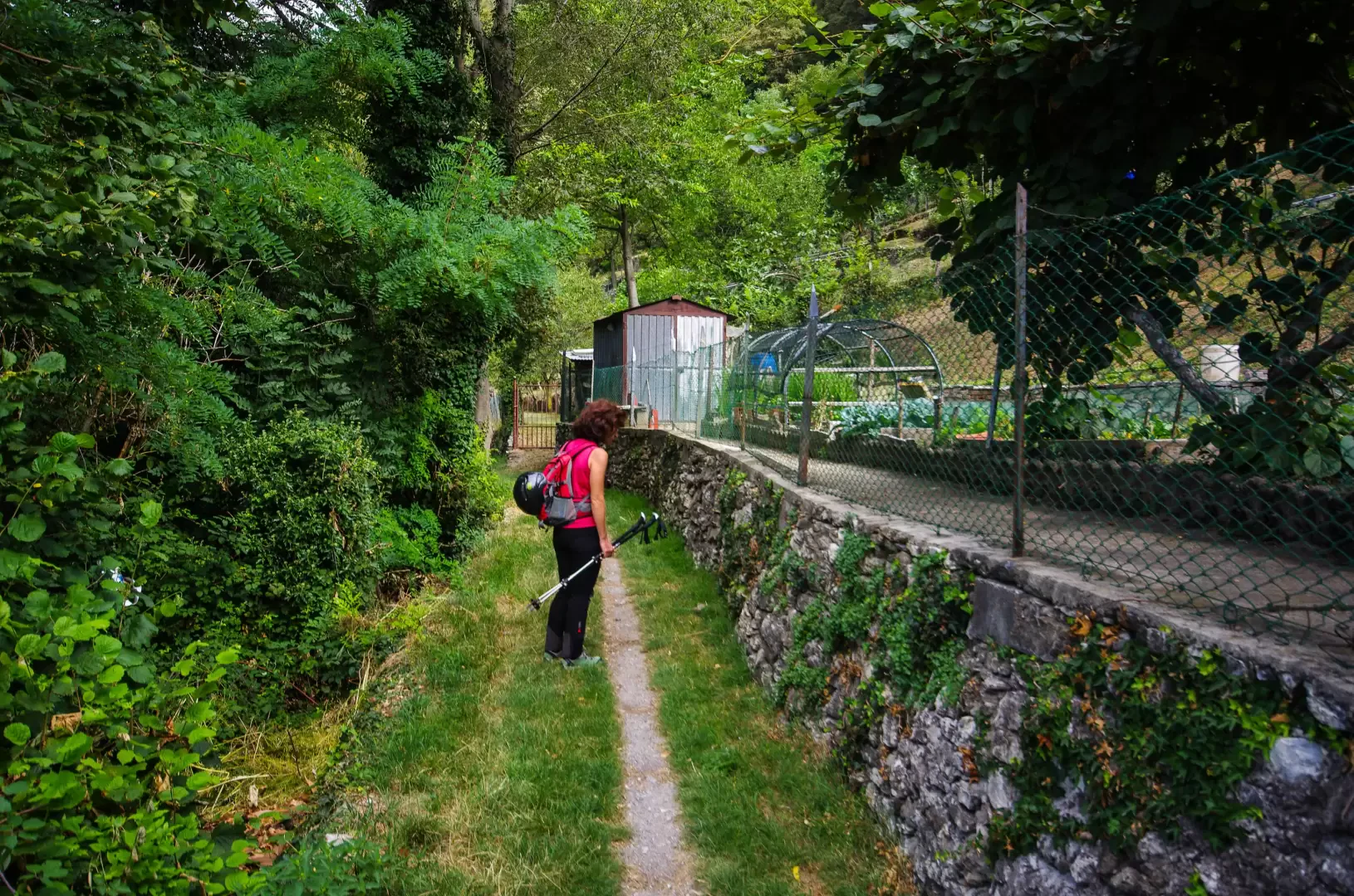
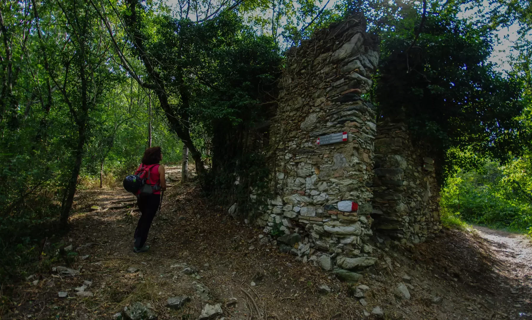
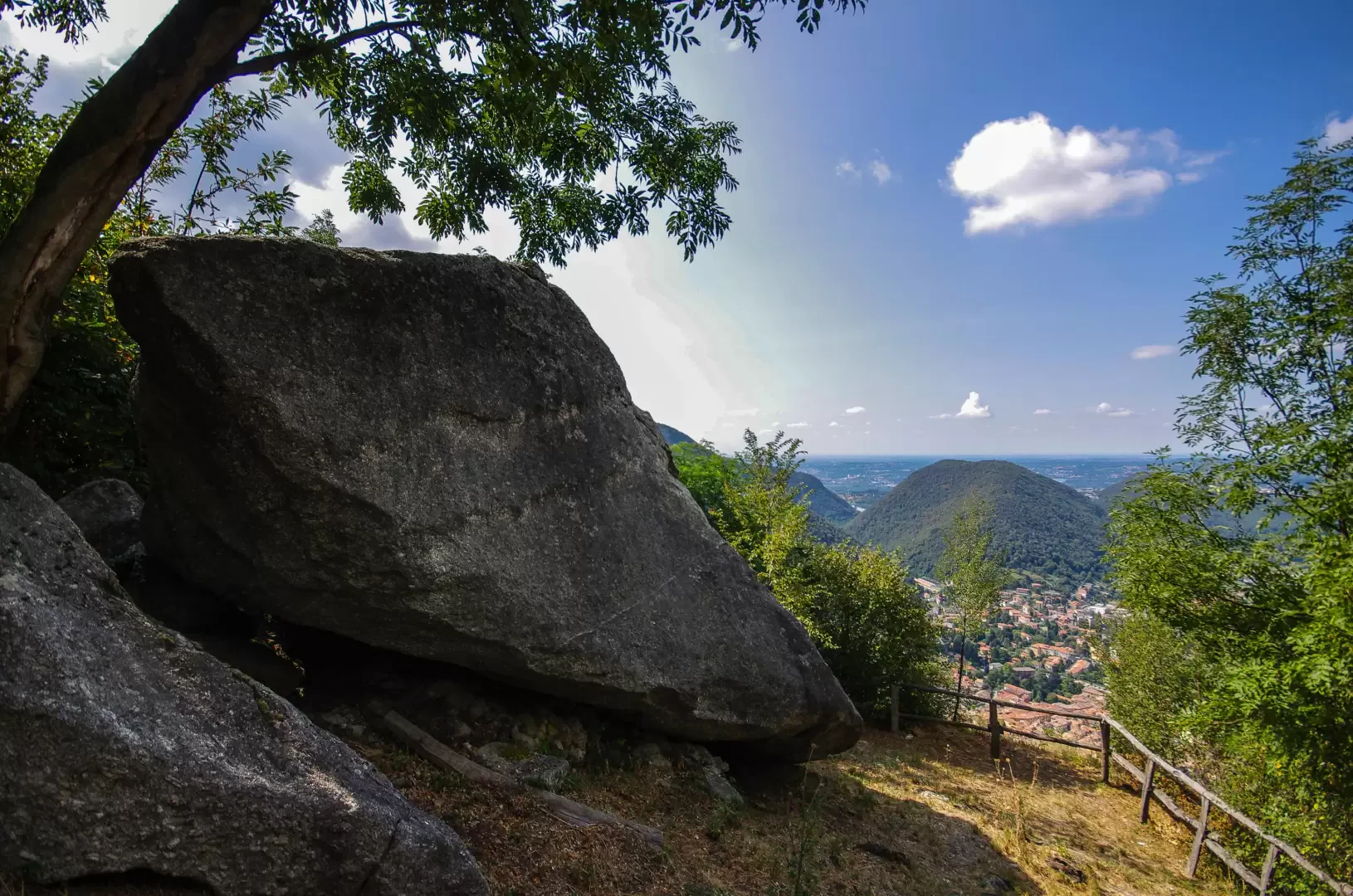
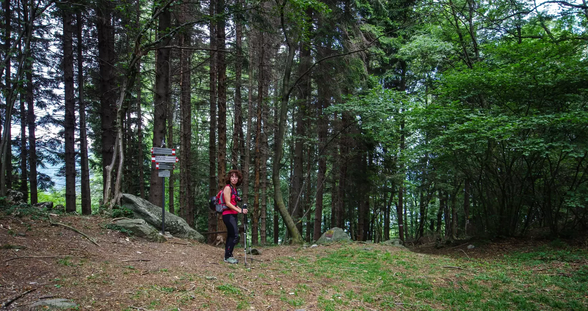
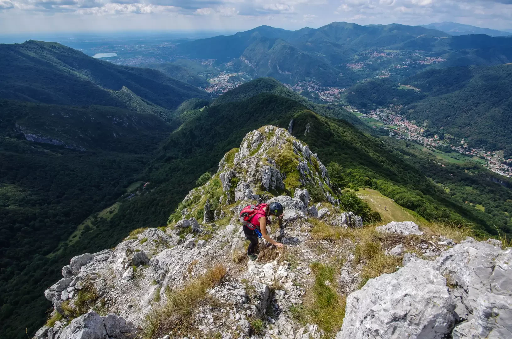
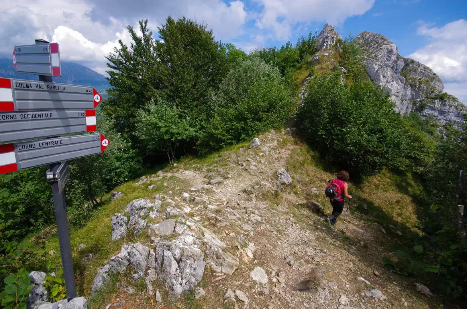
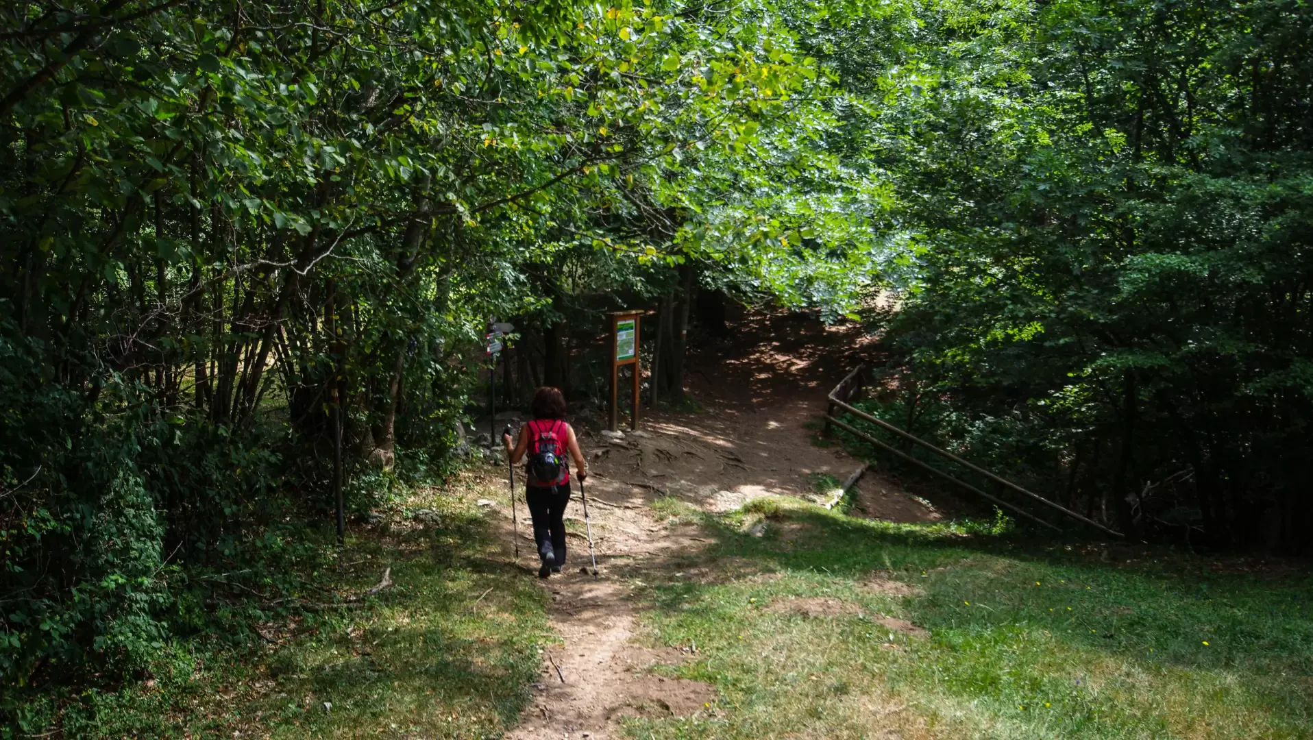
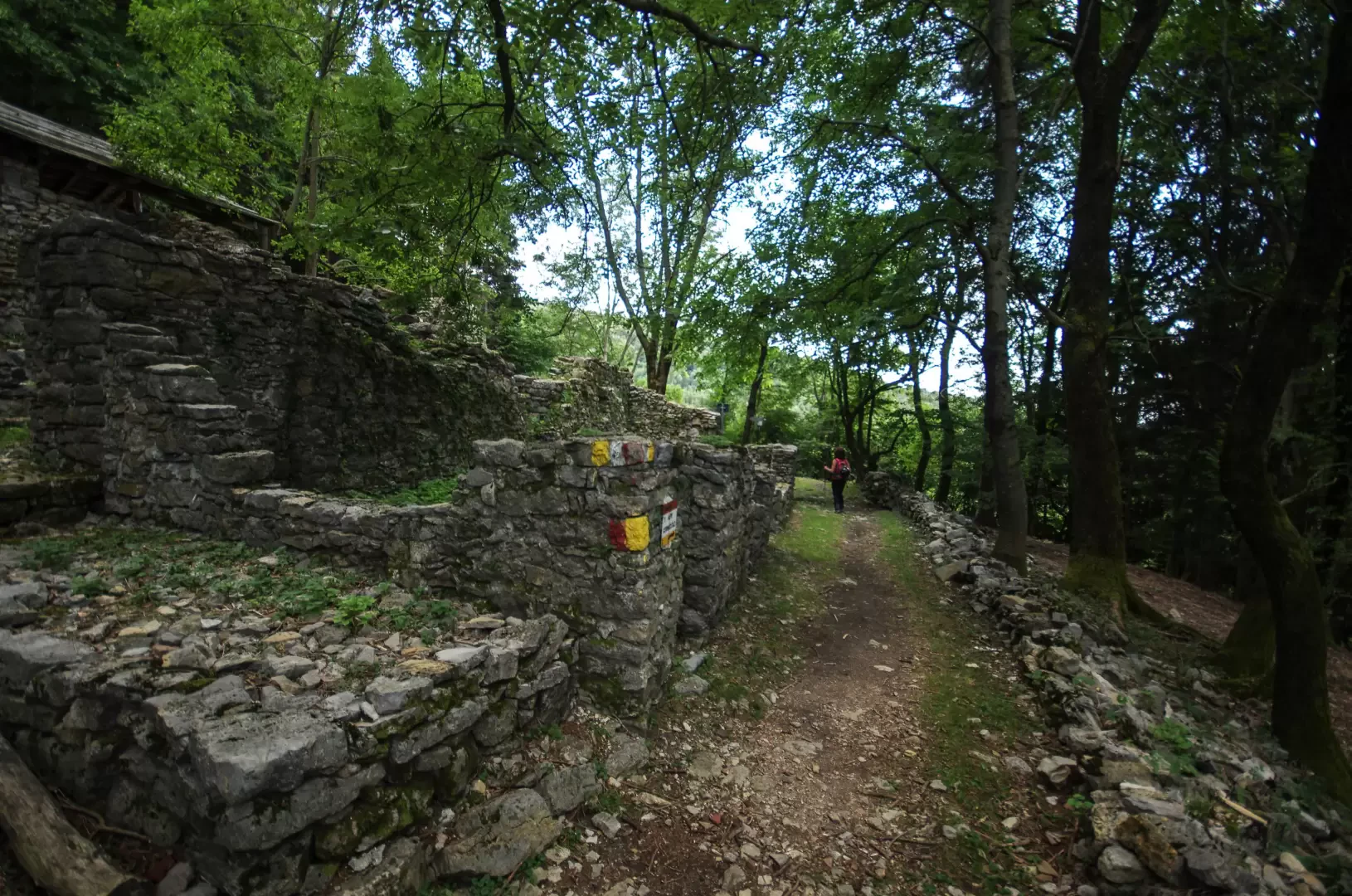
From the car park 422m, climb briefly up the steep Via al Castello: at the first hairpin bend, take a wide stony track on the left flanked by vegetable gardens. Follow it up and down to reach a ruin with numerous signs: you are at Cranno 450m, at the start of the long western ridge of the Corni di Canzo. The entire ridge is traversed by a wide path - very steep in places - which in the first segment follows the "Sentiero dello Spaccasassi" nature trail. After passing the panoramic viewpoint of "Sass de la Prea" (erratic boulder), leave the descent to the right towards Alpe Grasso (Visitor Centre of the Corni di Canzo Regional Forest) and continue along the ridge. At the Colletta dei Corni 877m (leave a forest track to the right for the Agriturismo 3° Alpe), leave the ridge to enter the shady northern slope of Q1068m: after a long flat traverse, the trail rises again to reach the westernmost dwellings of Pianezzo 1200m. Here there are three possibilities of continuation to climb to the main Corno di Canzo 1371m.
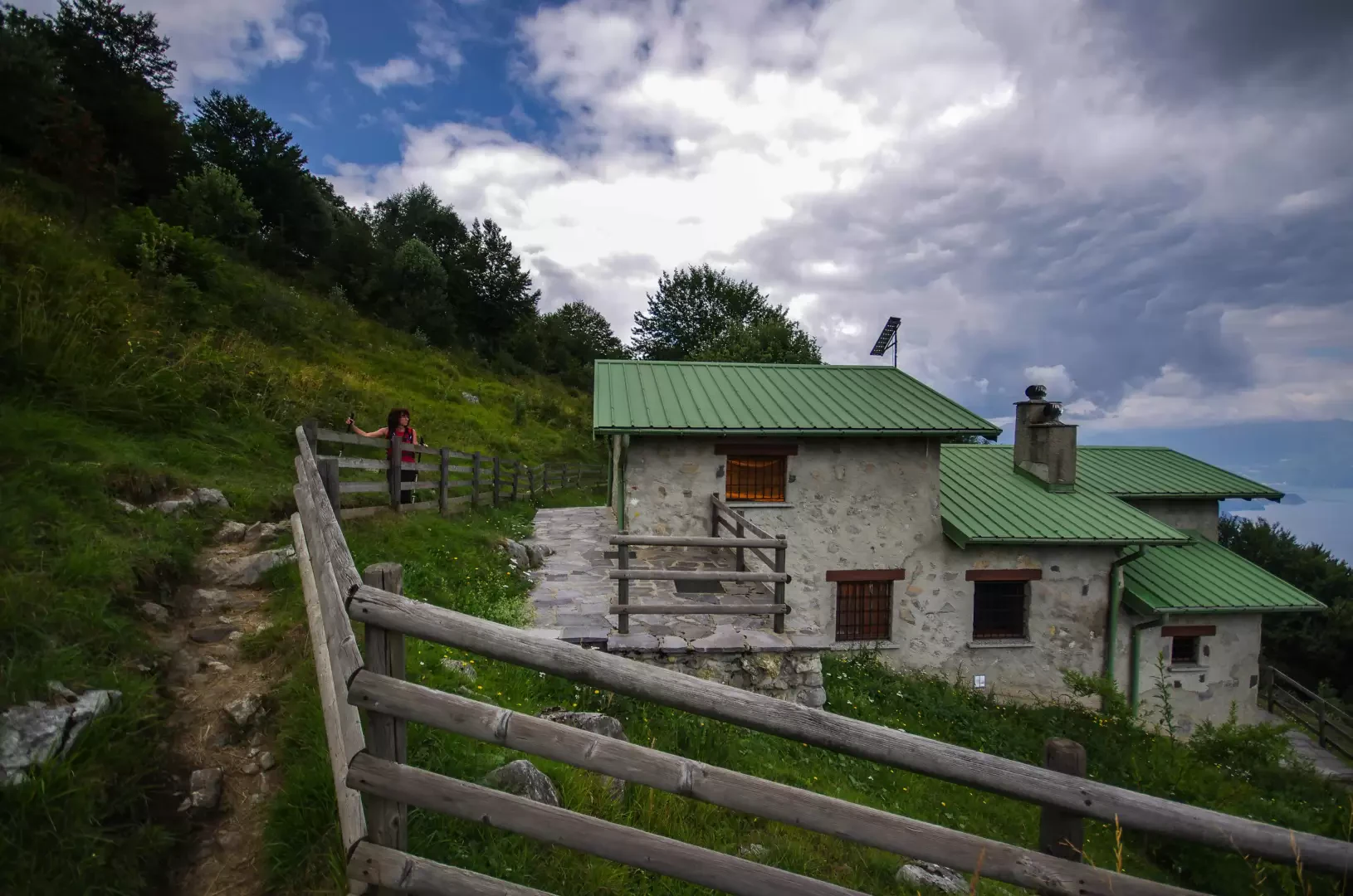
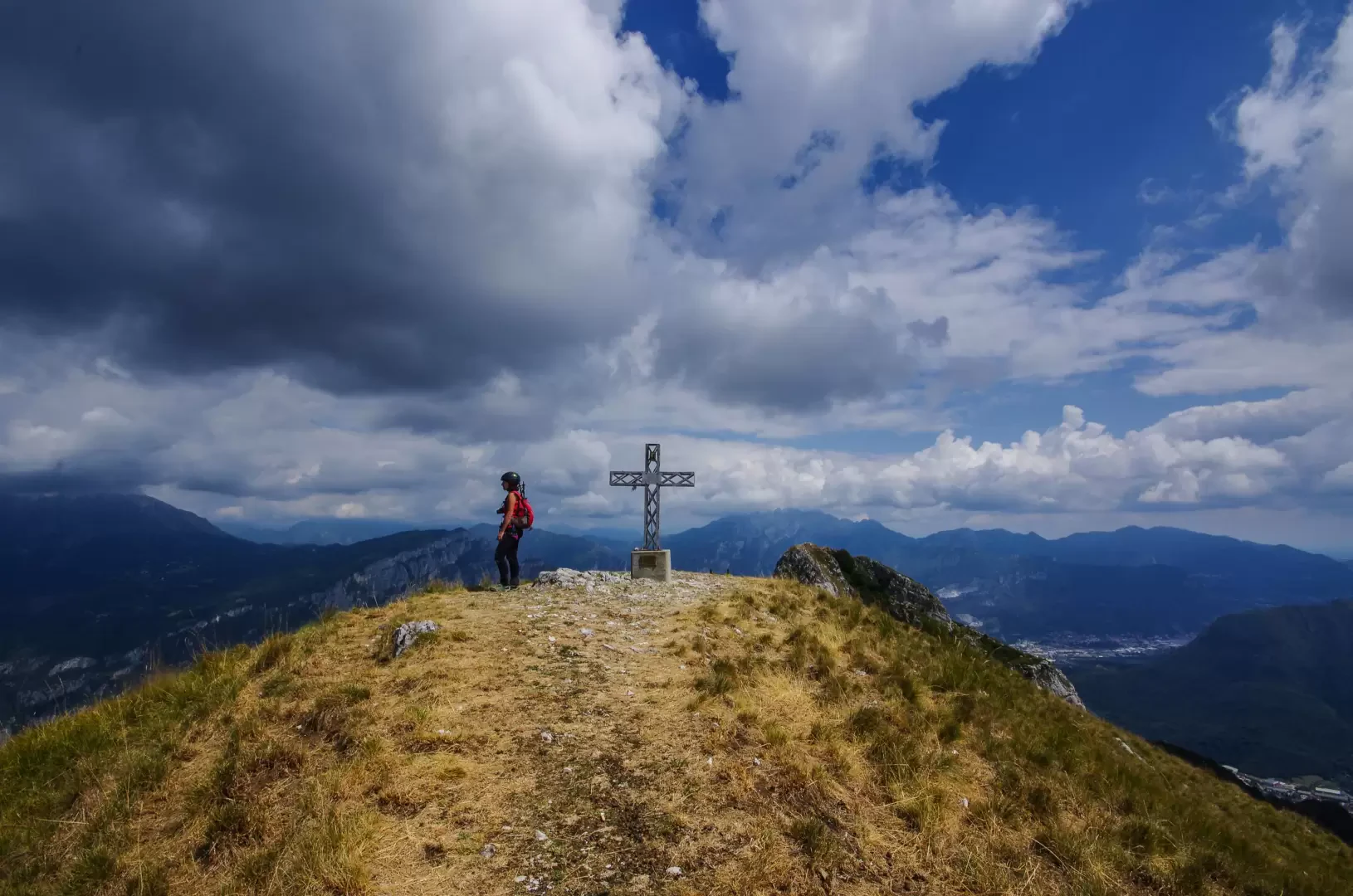
- From the houses of Q1200m continue on the flat towards the visible Rifugio SEV 1239m and, below the vertical of the peak, take a small path that climbs steeply to become a rocky gully (a few simple steps of very steep I+ grade climbing) that comes out right at the summit cross.
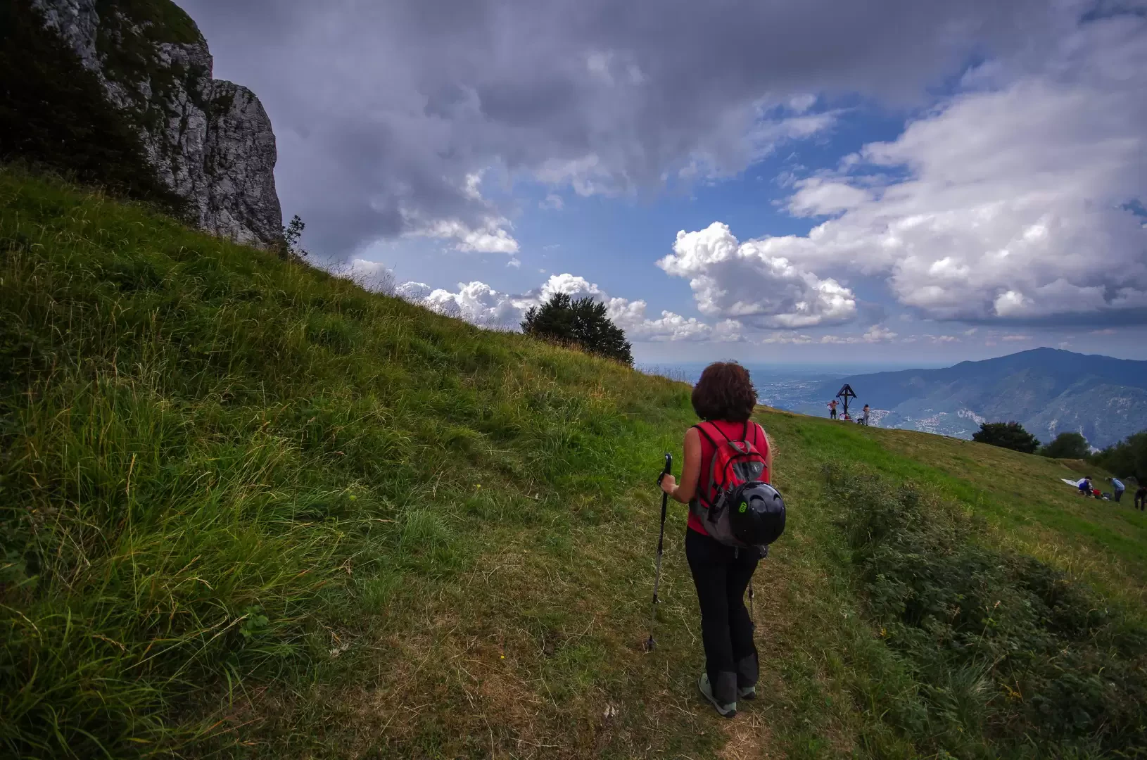
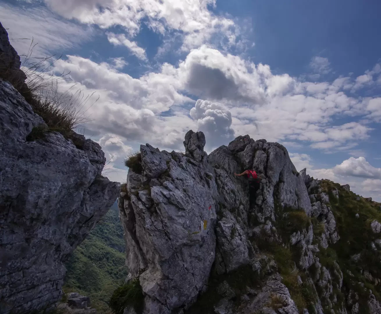
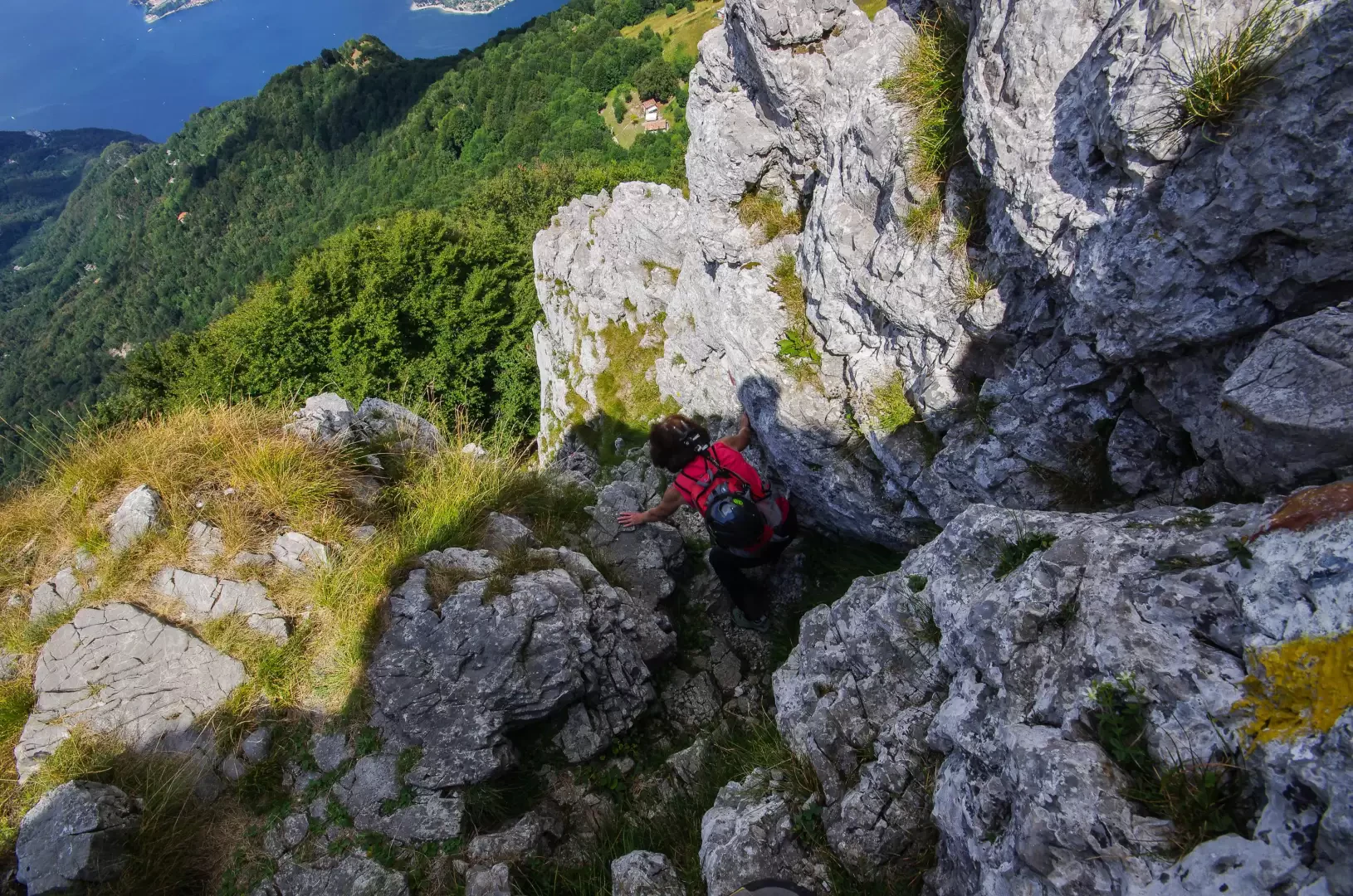
- From the houses at Q1200m one turns back and reaches a vast grazing terrace at Q1250m at the base of the rocks of the Corno; a very stony gully allows one to climb up to the anticima of the Corno. From here, a few exposed rocky steps ("Passo della Vacca") on the summit ridge lead to the summit cross.
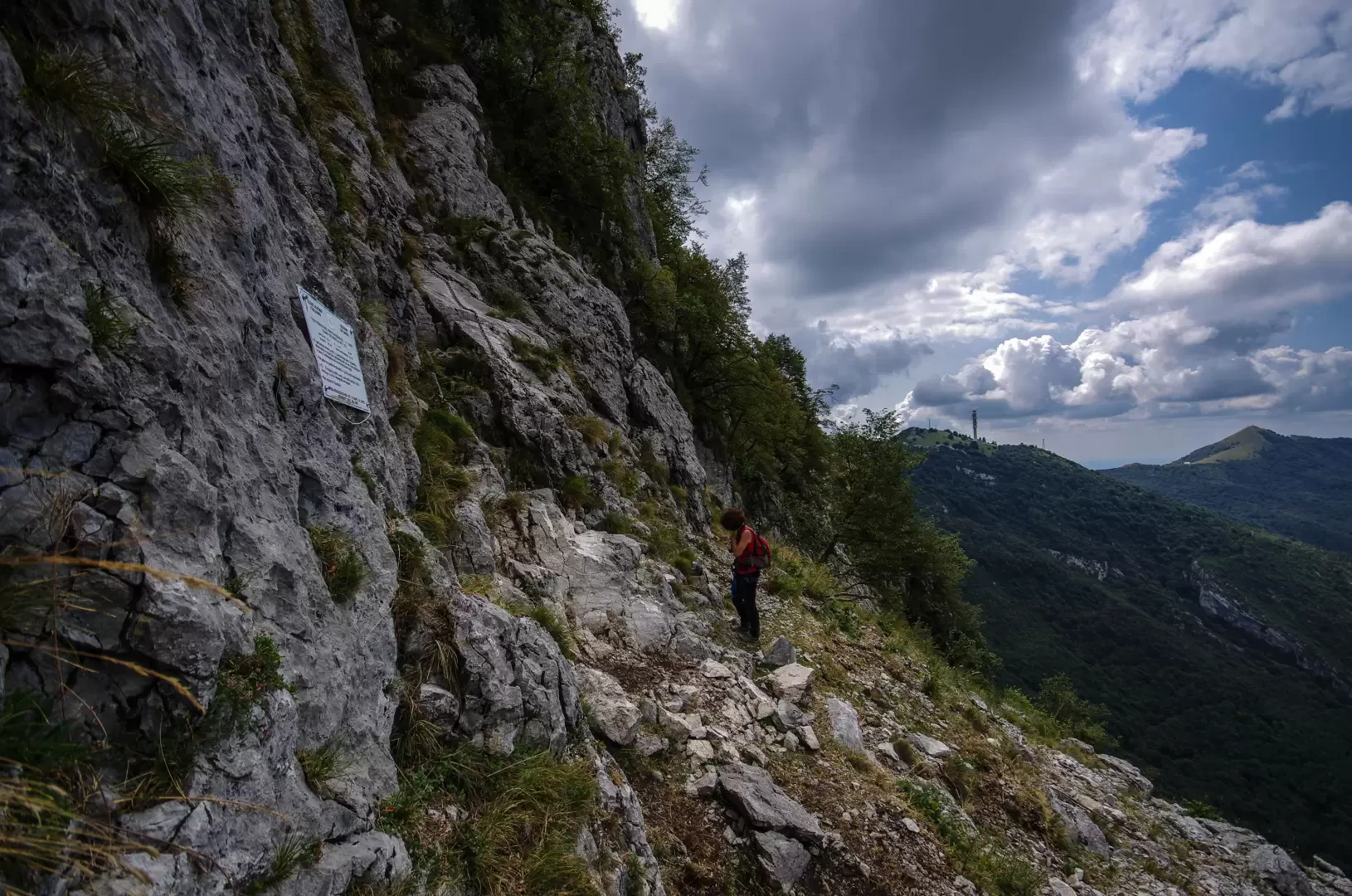
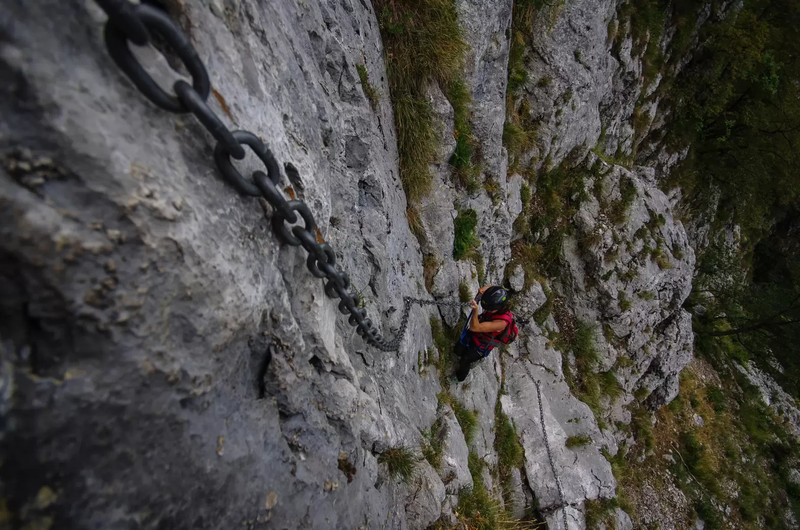
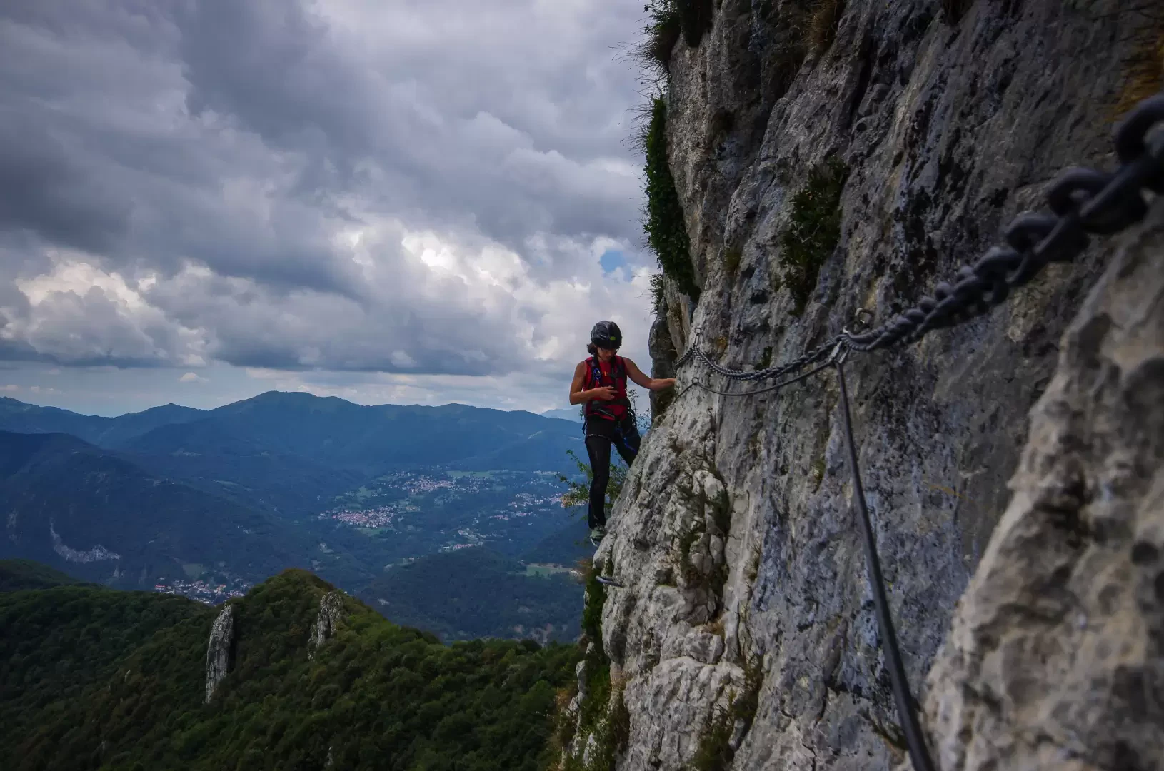
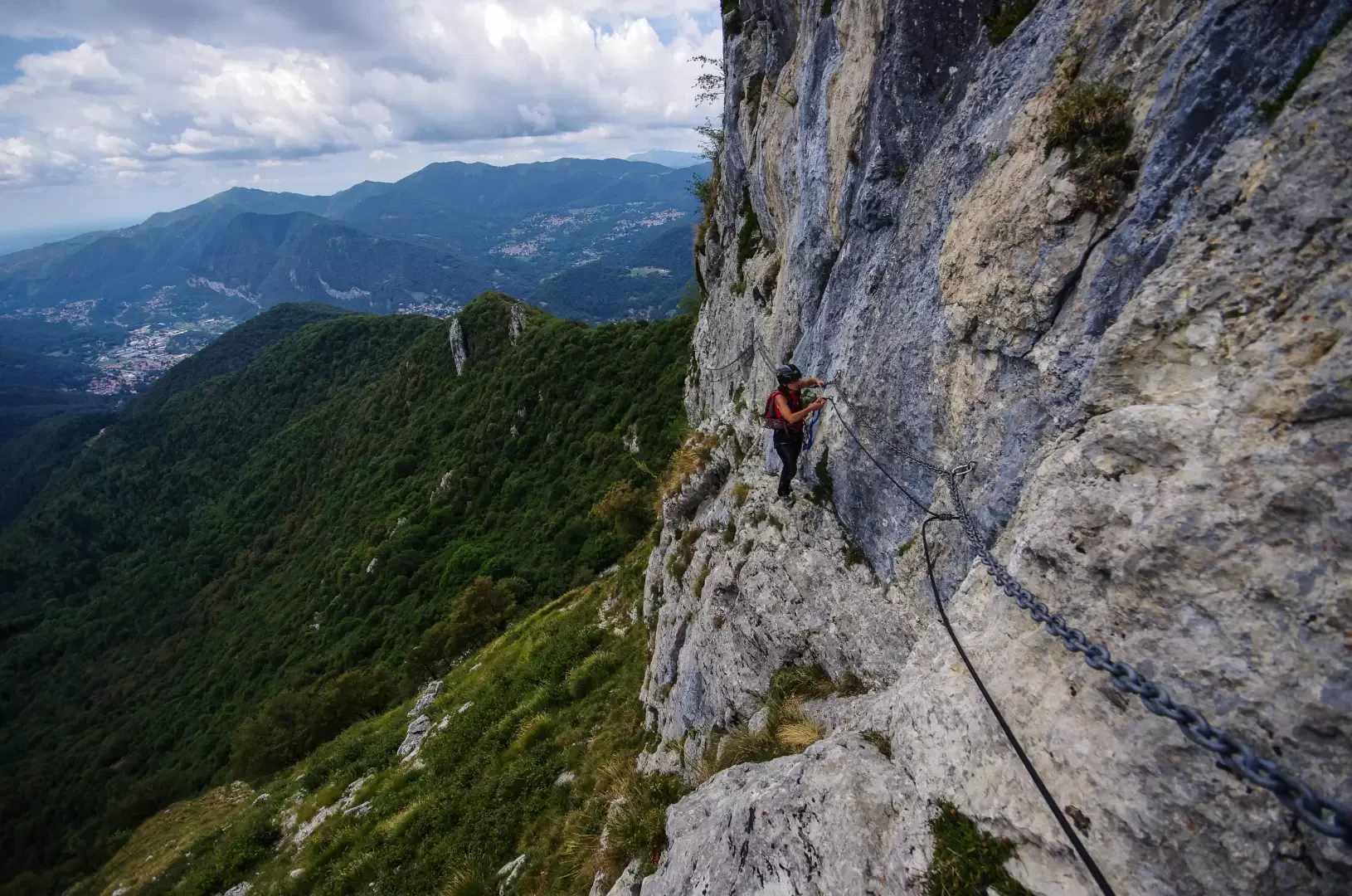
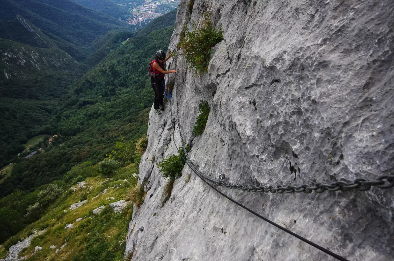
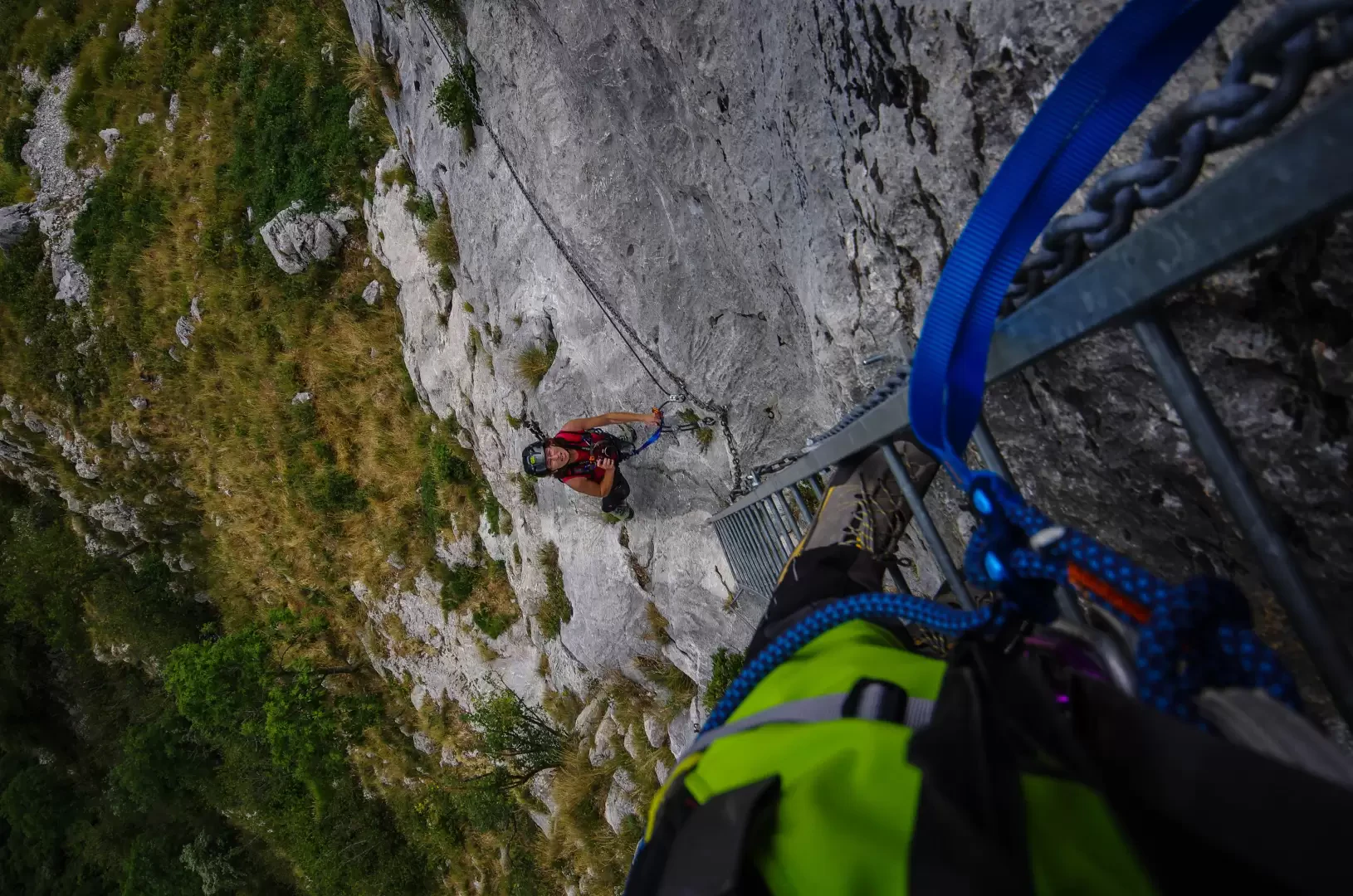
- From the houses at Q1200m, turn back and reach a vast grazing terrace Q1250m; descend along a stony track on the other side, aiming for the left-hand edge of a scree slope below: at the base of the rocks - near an illustrative board - the chains of the "Ferrata del Venticinquennale" begin (here http://www.inalto.org/relazioni/via_ferrata/ferrata_del_venticinquennale you will find a detailed description of the route).
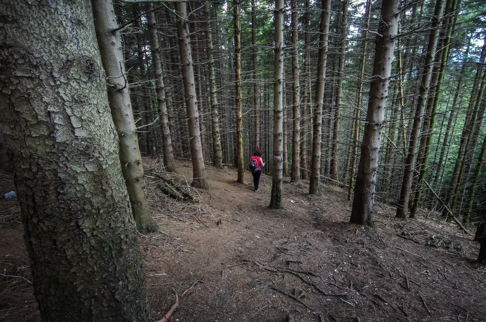
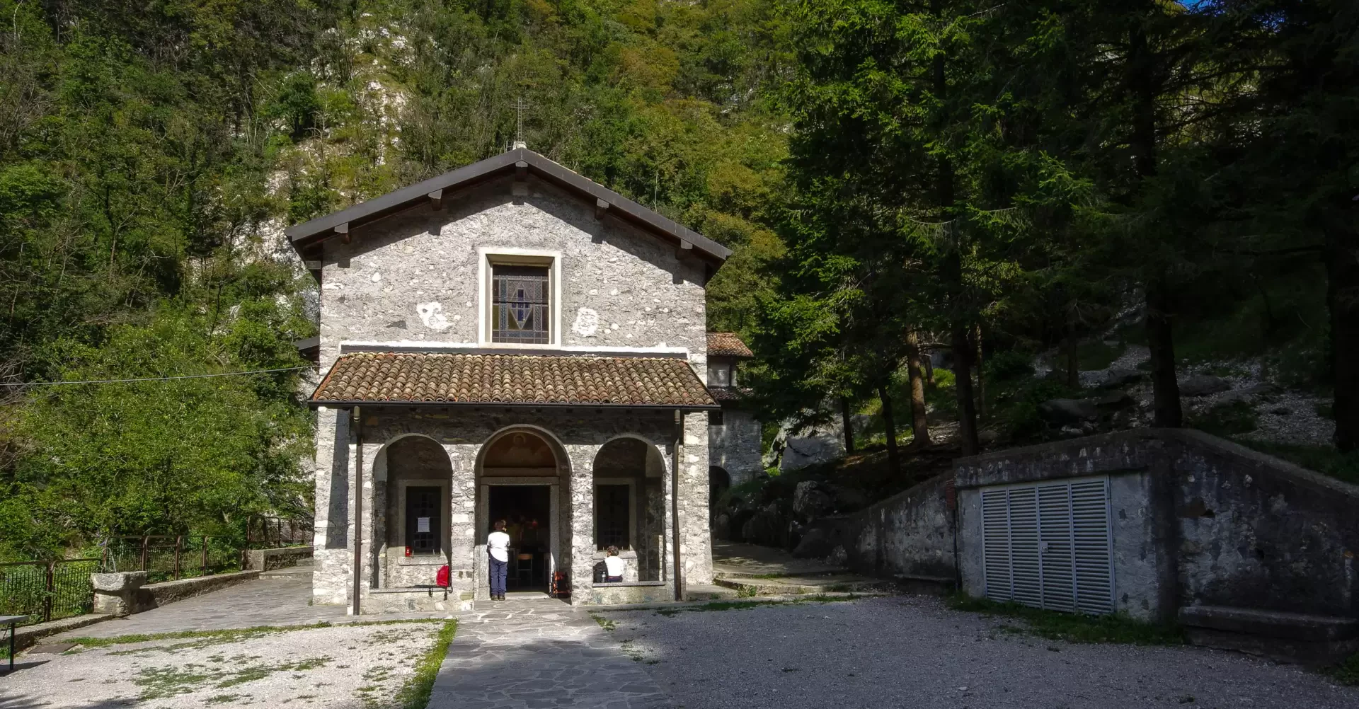
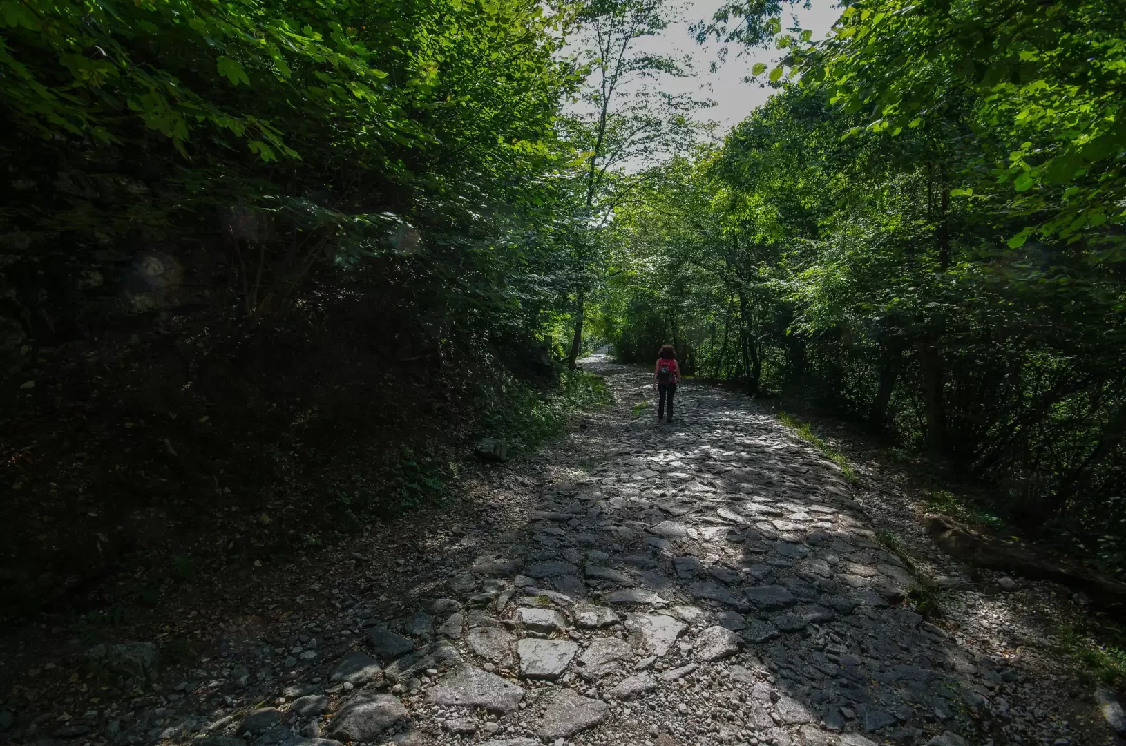
From the summit, descend along one of the two "normal" routes and head towards Pianezzo; just before the refuge, turn right and climb up to the Forcella dei Corni 1300m, a wooded pass between the two peaks. A good path through the beech forest allows a rapid descent to Colma 1000m, an important crossroads of paths at the convergence of Val Ravella (Canzo) and Valle del Gatton (Valmadrera). At Colma, there are many signs: follow some yellow arrows painted on the trunks, which point to the right in a long, ascending traverse that ends at the ruins of Alpe Alto 1096m. A new change of direction and, through very different environments (dense fir forest, steep stony ridge, damp woodland), you descend into the San Miro valley: alongside a stream and a small aqueduct, you reach the square of the church of San Miro al Monte 606m. Follow a cobbled driveway to descend quickly to the Fonti Gajum (old thermal baths, now bars and restaurants): by now among the many villas of Canzo, keeping to the bivii the direction "Milano", return to the car park by the cemetery.
.Photo gallery
Comments (0)
Sign in to leave a comment