Val Lesina - low crossing

Edited by:
Marco Bonati
Introduction
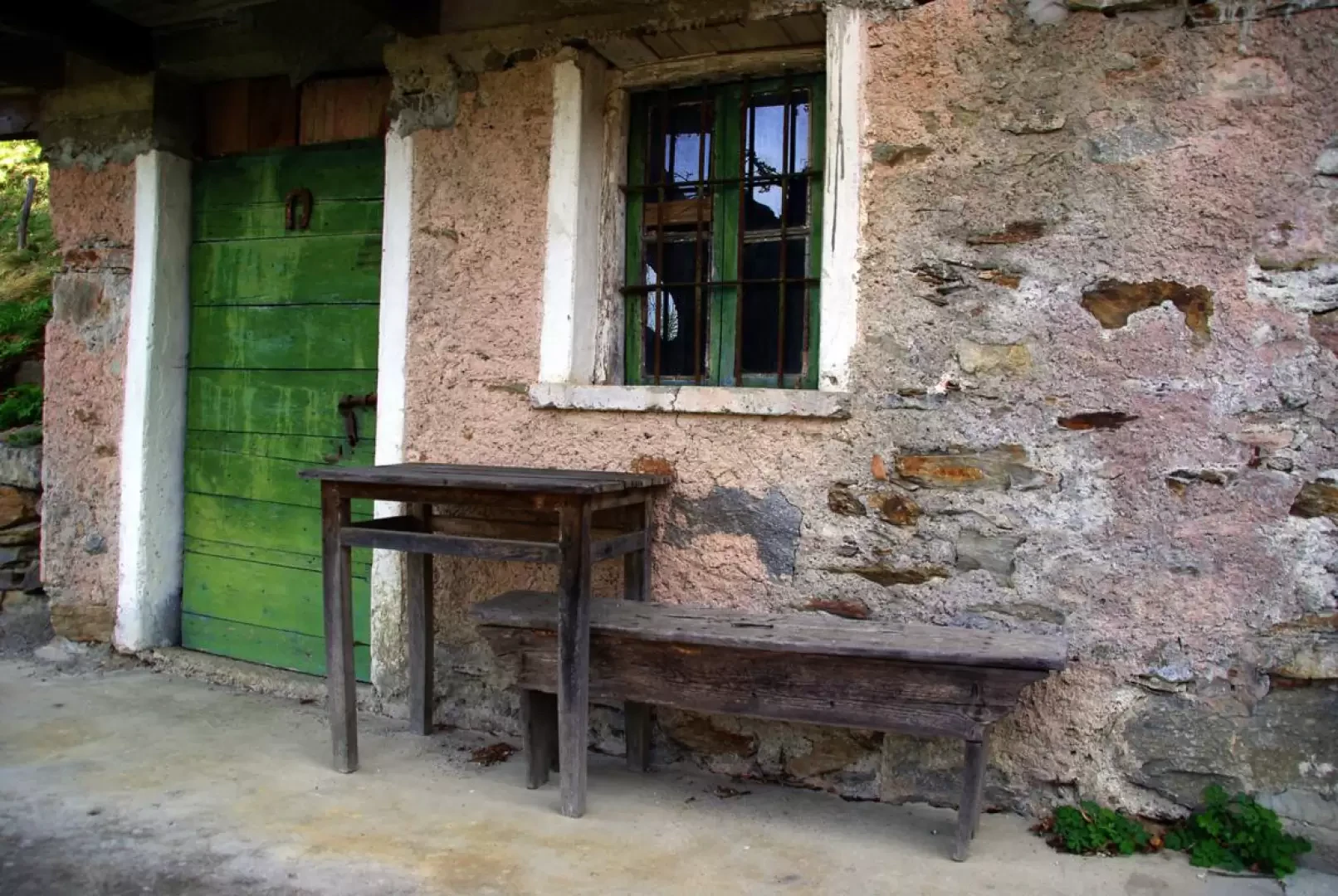
An introductory excursion to the many excursion possibilities of the neglected and orographically complex Val Lesina. This is the lowest route connecting the two main branches of the valley, each traversed by old military roads of the Cadorna Line. The steepest sections of these roads have been adapted - by shaping their carriageways to a concave profile - to drag logs resulting from forest felling down into the valley: these steep, cobbled roads are called 'ogal' in the local dialect. Beyond the altitude of the 'maggenghi' (now converted into holiday homes), the natural environment becomes particularly isolated and wild: as there is practically no human presence, the forests tend to regress to a spontaneous life cycle and wildlife is perceived to be more active than in neighbouring areas.
Description
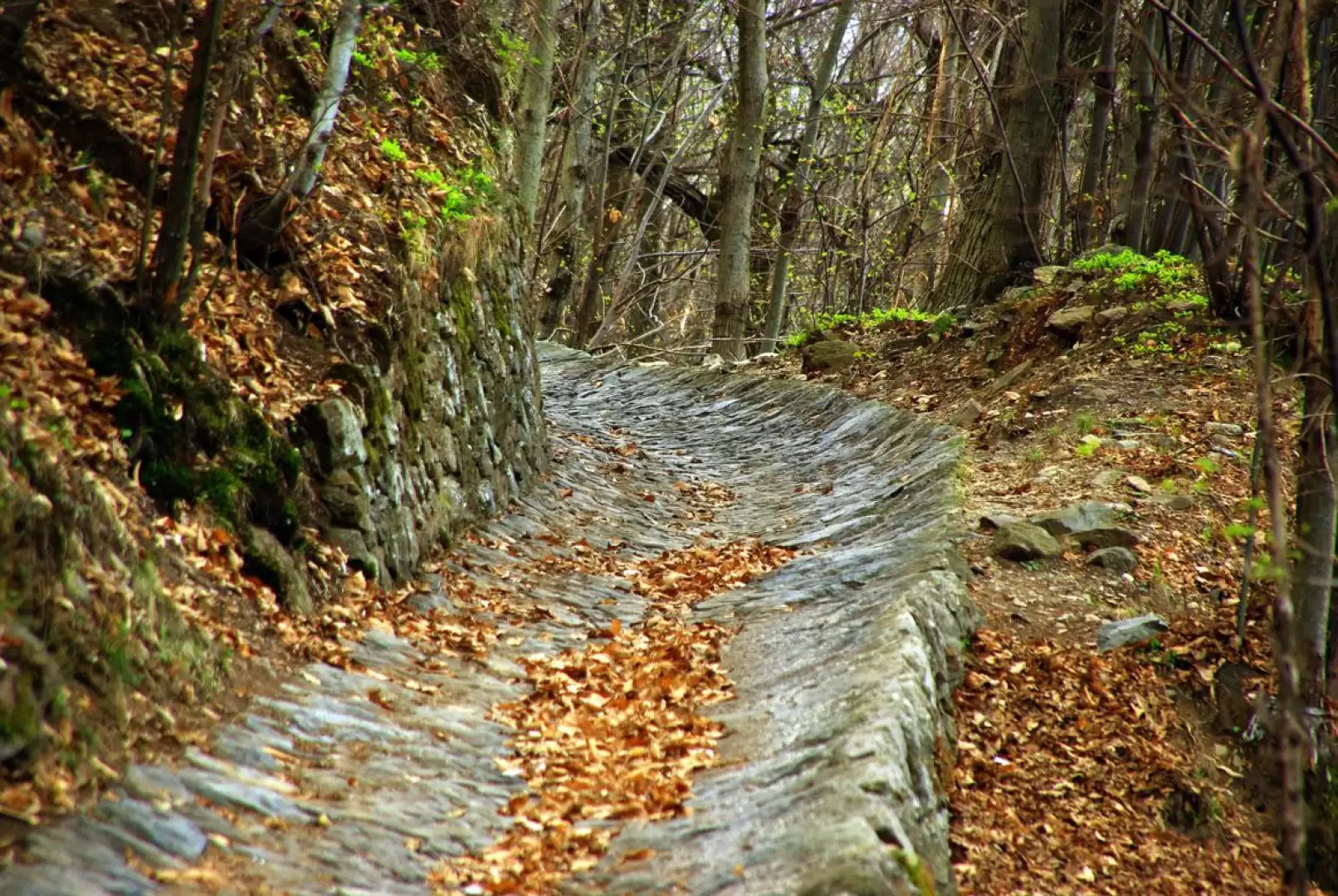
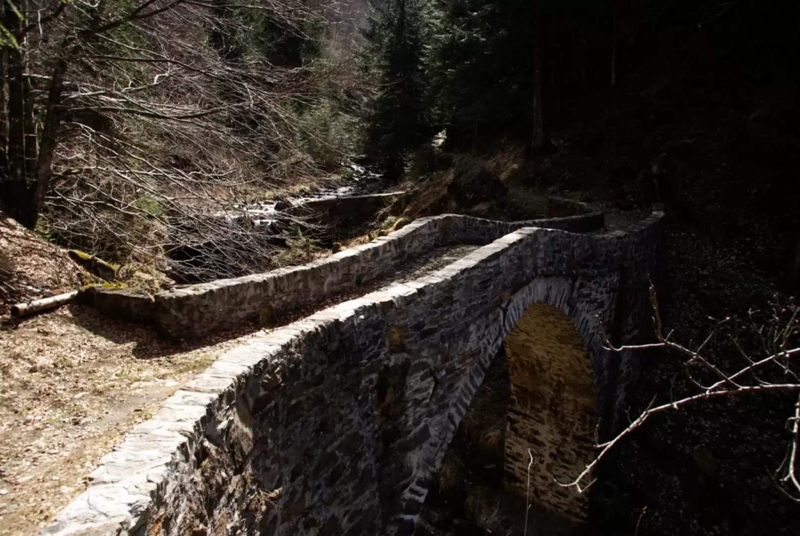
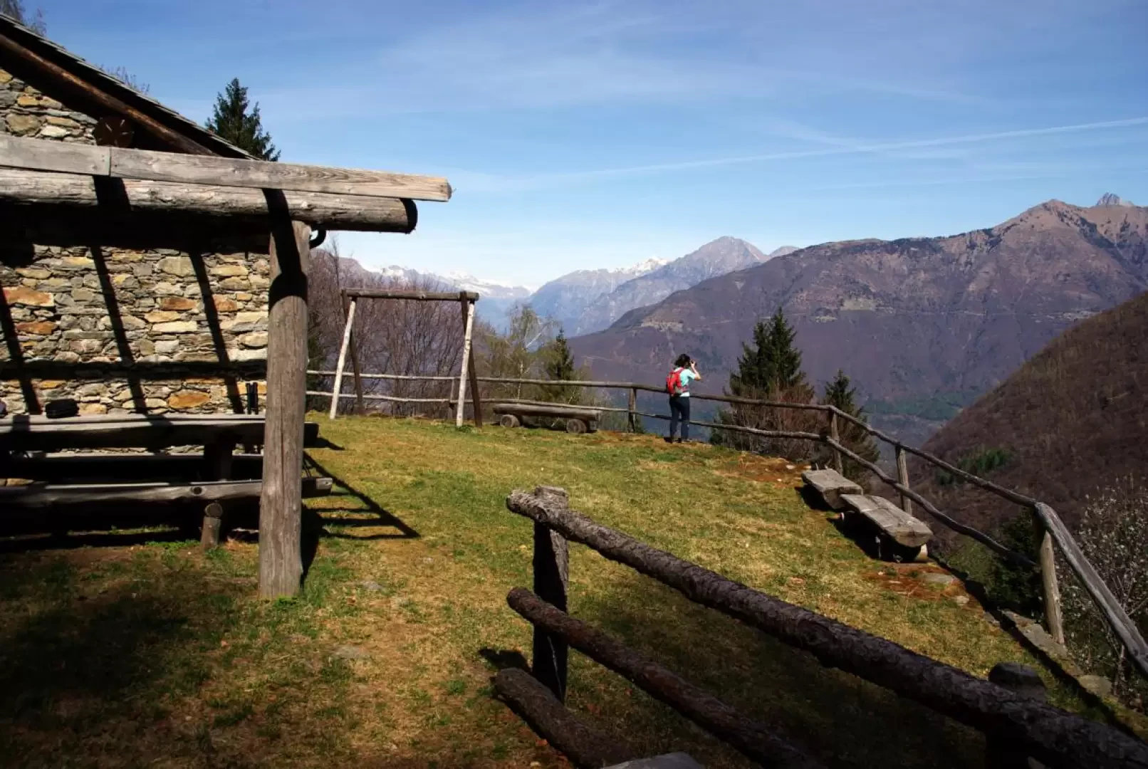
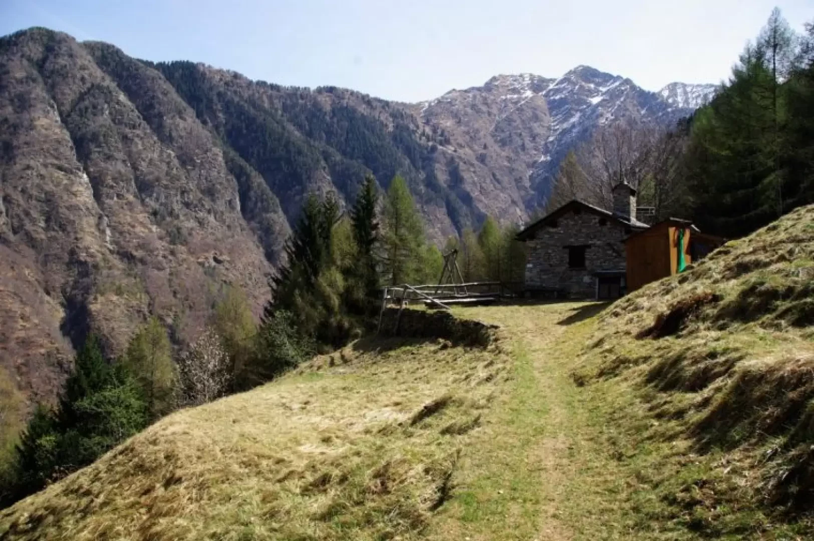
From the car park near the Andalo cemetery 232m, enter the built-up area to the right: after a few dozen metres, beside a modern votive chapel, take a steep path that is initially cemented. The track, climbing steadily, follows the slope with a few hairpin bends until a traverse to the east on the level reaches a carriage road: on the other side, at first parallel to the tarmac road, the Val Lesina ogal begins. Follow it along its steep straights, ignoring the road crossings and secondary side tracks. Once past the junction for Dosso Lungo 616m, the ascent becomes gentler and almost flat to the huts of Alpe Ravolido 883m; from here, a wide path, almost always cut into the rock face and protected downstream by handrail-cables, reaches the eastern valley bottom stream on the flat and crosses it with a beautiful arched stone bridge (Ponte di Stavello or "Punt de la Rasega"). Continue along the tree-lined riverbed for a few dozen metres until you find the signs for the Dossi path on the right. It is a slender track in the steep, dense fir forest: stretches of moderate ascent alternating with a few ups and downs lead to the panoramic clearing of Baita del Dosso 1023m; continue on level ground until you come to a fork and - leaving the path for Casera del Dosso and Casera di Luserna on the left - take the cobbled and recently well-restored mule track on the right. A long series of ups and downs, which follow the jagged profile of the mountain, precede a few hairpin bends that descend to the stream at the western end of the valley. Crossing it on a swinging rope bridge, a slow and steady path among the boulders of an ancient landslide climbs up to reach the western Lesina Valley forest track. Follow it to the right until reaching the constructions of Canargo 920m: here begins the other ogal that descends steeply towards Delebio. About halfway along the route you come to the small hydroelectric reservoir of Piazzo Minghino 532m; the cobbled ogal ends at the houses upstream of Delebio (contrada Torrazza): turning right between old disused industrial buildings, cross the Lesina stream and, on the other bank, between the houses, take Via Fanfulla da Lodi, which soon reaches the car park of departure.
.Galleria fotografica