Walser Trail

Introduction
Walser Trail: from Gressoney Saint-Jean (Upper Cialvrina locality) to Gressoney La Trinité at an average altitude of about 1700/1800 metres (marked with a "W" or "1W") This is a very spectacular excursion because it follows an old path that joined alpine pastures and Walser villages, once inhabited all year round and which, developing at an average altitude of just under two thousand metres, is like an immense balcony on the orographic right side of the Gressoney Valley. You travel through the Ranzola valley, the Staller valley, and the Valnera valley, crossing woods, rocky areas and picturesque villages where you can still 'breathe' the atmosphere of the past and where you can see the 'stadel', the typical 'Walser' constructions in stone and wood. Along the way, there are some paths leading up from the bottom of the valley; as this is not a very demanding but rather long hike, these paths could be used to shorten the route, allowing you to descend to the valley before the end of the described route.
Description
Not far from the signpost for the upper Cialvrina locality, near a bend, the Walser path starts to the right, which is in fact scarcely signposted here (the "W" sign is visible on the trunk of a tree that can be glimpsed slightly to the left). Photo 1
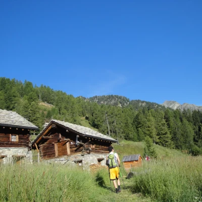
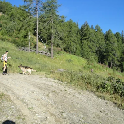
So soon after the entrance, the path goes uphill, curving to the left Photo 2 and soon reaches a small group of houses Photo 3, then crosses a wide dirt track Photo 4 and Photo 5, which we must leave shortly afterwards and return to a narrow path across a pasture. The path (often signposted with a yellow disc and a large "W") continues across the Weissmatten downhill slopes, which in this area have a breathtaking gradient.
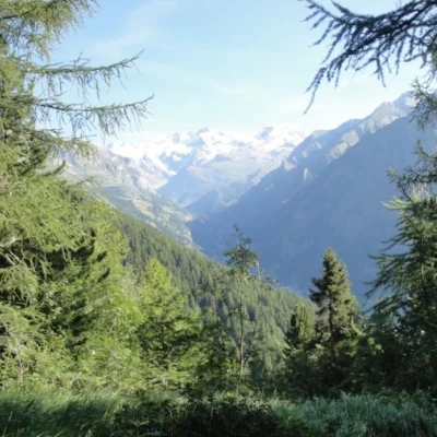
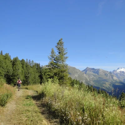
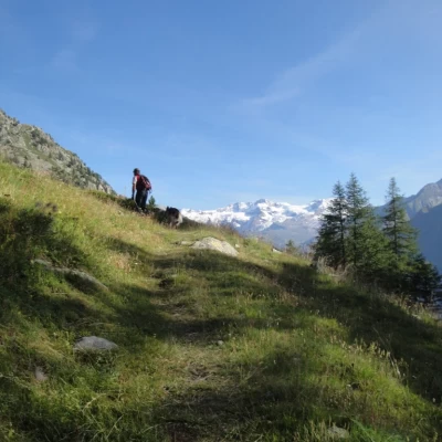
The path enters the forest again, with frequent ups and downs; a spectacular constant of this route is the backdrop, where the Monte Rosa massif towers Photo 6 and Photo 7 .
On leaving the forest, we cross a wide pastureland passing at the foot of the baita della Ranzola (the only site in the Gressoney valley where fontina cheese is produced); close by we come to a junction with path no. 3 that connects the bottom of the valley with Col Ranzola, through which you can access the nearby Ayas Valley or climb up to Punta Regina Photo 8.
Continuing on, always with frequent ups and downs that are never very steep or demanding, you cross the Staller valley, cross path no. The panorama behind us is stupendous, with the village of Gressoney-Saint-Jean at the bottom, photo 11, and at the top, now far away, the track through the trees of the Weismatten piste, photo 12, which we crossed at the start of the route.
We continue until we reach a wide opening - Jatza locality - where, in the summer months, we can meet a herd of grazing cows with their owner Photo 13 and Photo 14 .
We continue crossing frequent streams, following the path which is at times well marked and at other times not very visible, always supported however by the classic "W" sign inside a yellow circle, we pass a large scree slope Photo 15 until we reach a section where an obligatory variant has been created to obviate a passage that until a few years ago went over the ridge with some iron ladders. The variant, in order to make the passage safer, includes a steep downhill section carved into the rock and earth, which then rises slightly until it meets up again with the original Walser path, which gradually begins to descend in altitude until it reaches the hamlet of Alpenzù grande Photo 16 and , where there is a hut, and which can be reached from the valley floor by a busy mule track Photo 17.
We continue halfway up the mountainside and always in the presence of the Monte Rosa massif, encountering isolated barns and cottages Photo 18, facing slight ups and downs and frequent streams to cross comfortably, until we reach Alpenzù piccolo, another magnificent Walser village with houses perched on the side of the mountain . Photo 19. Now the trail steadily loses altitude, crosses a dense coniferous forest and reaches the hamlet of Lisbalma di Gressoney-La Trinité, where it meets the regional road that brings the described itinerary to an end.
In the last stretch, the "W" signs indicating the Walser path intersect with the "GSW" signs indicating the walserweg - the Great Walser Trail.
