Torre del Signame, from Ronscione


Edited by:
Marco Bonati
Updated at: 03/09/2024
Access
From Milan to Novate Mezzola along State Road 36; just past the railway station turn left, passing under the tracks and continue along the Trivulzia provincial road to San Pietro. Follow the village streets uphill and, after crossing the Mengasca stream, park in a small square at the end of the road, in the locality of Ronscione.
Introduction
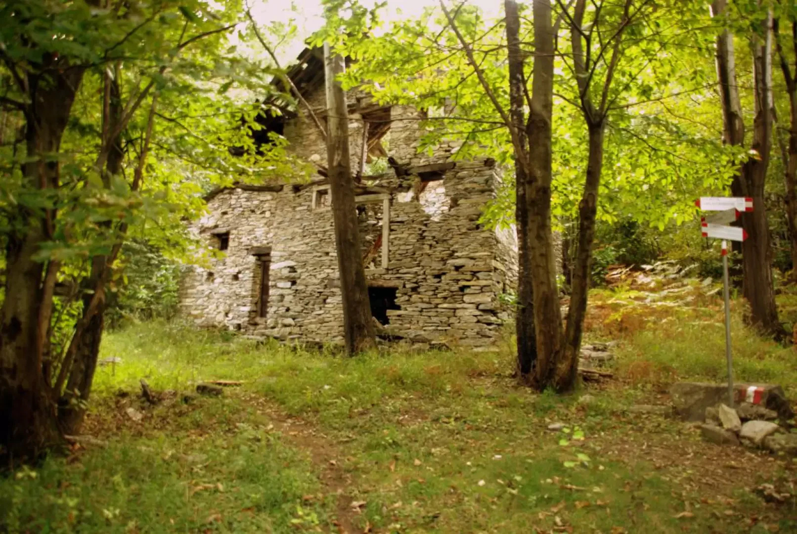
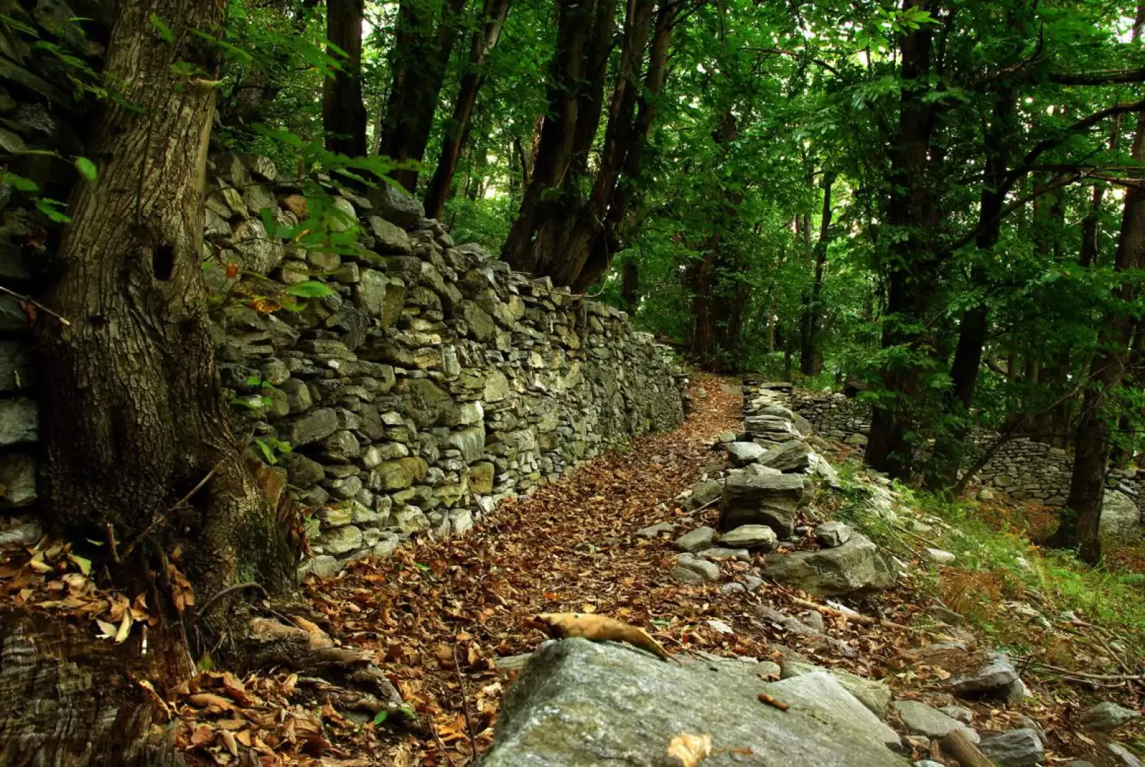
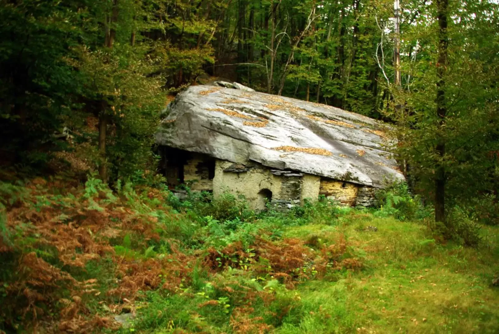
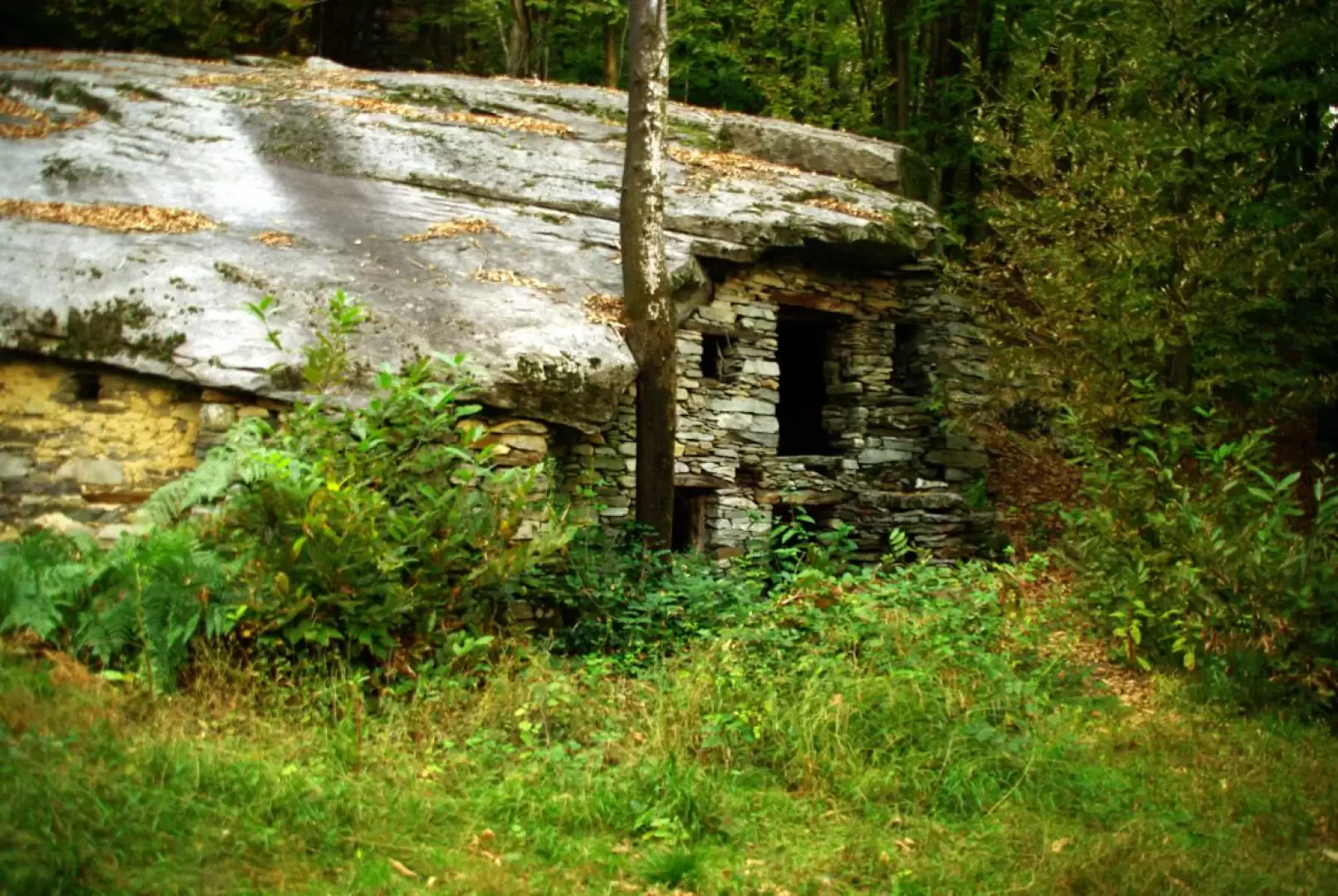
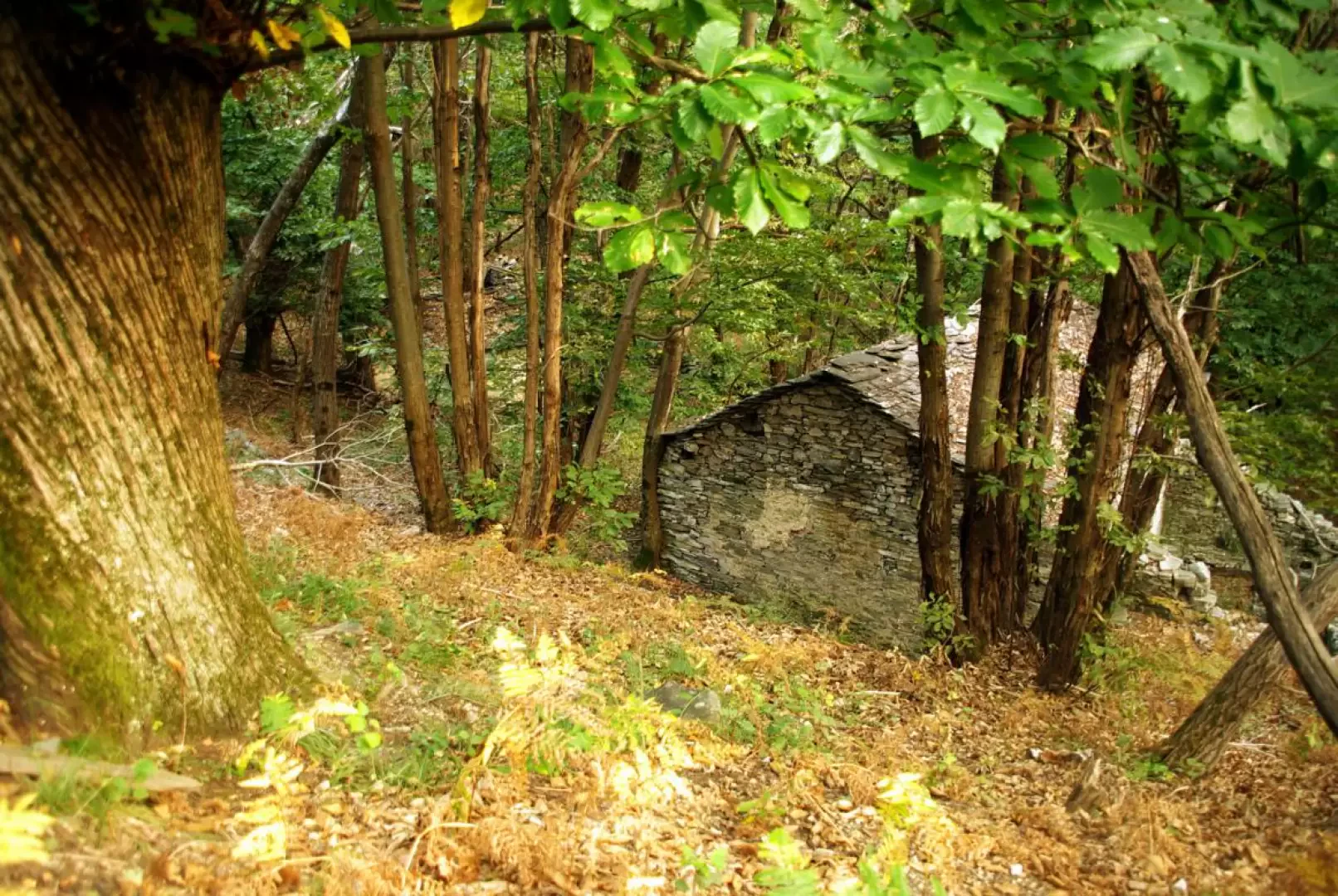
Short excursion with historical-panoramic destination. Already from the Chiavenna plain, one cannot fail to notice, at the entrance to the Val Bodengo, an isolated rocky cusp topped by a tower. This is the Torre del Signame, dating back to the 10th century and well restored in 1998, a lookout and signalling post partially dismantled in 1500 by the Grisons. The woods that one crosses to make this loop testify to an ancient extensive occupation: dry stone walls, huts, terraces now mostly reduced to ruins. Noteworthy is the "Cà Pipeta", a hut of unusual dimensions built entirely under a large boulder: two floors of rooms, stables, pantries and even a cellar with an internal spring.
Description
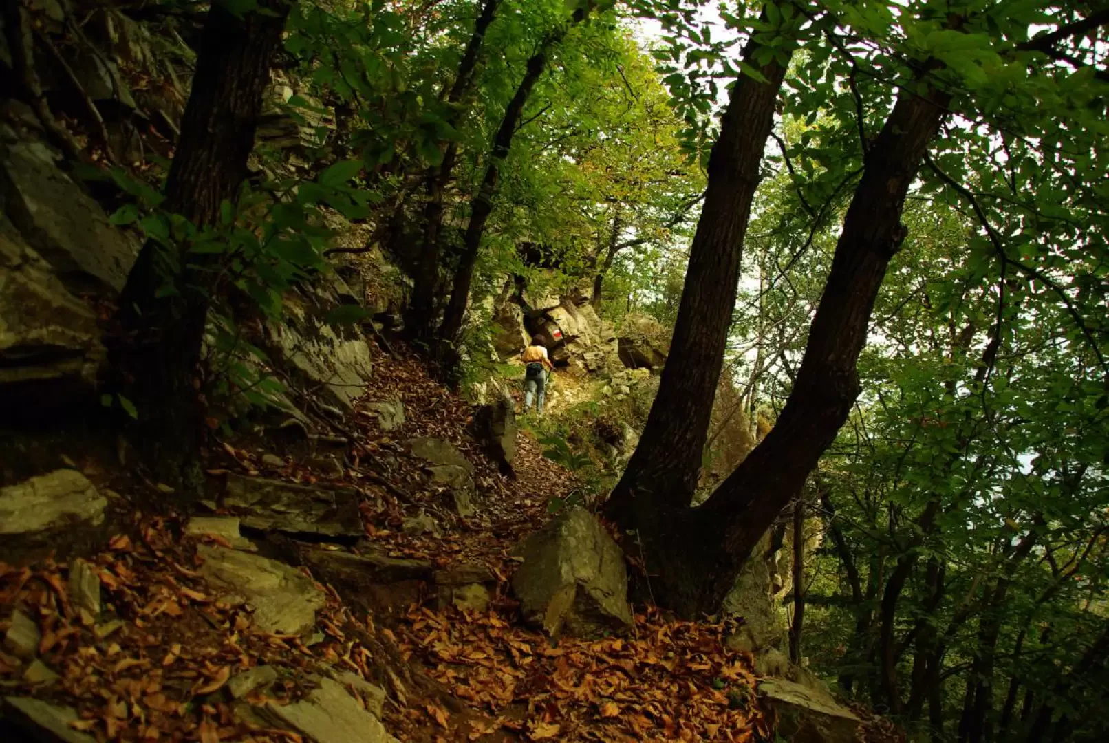
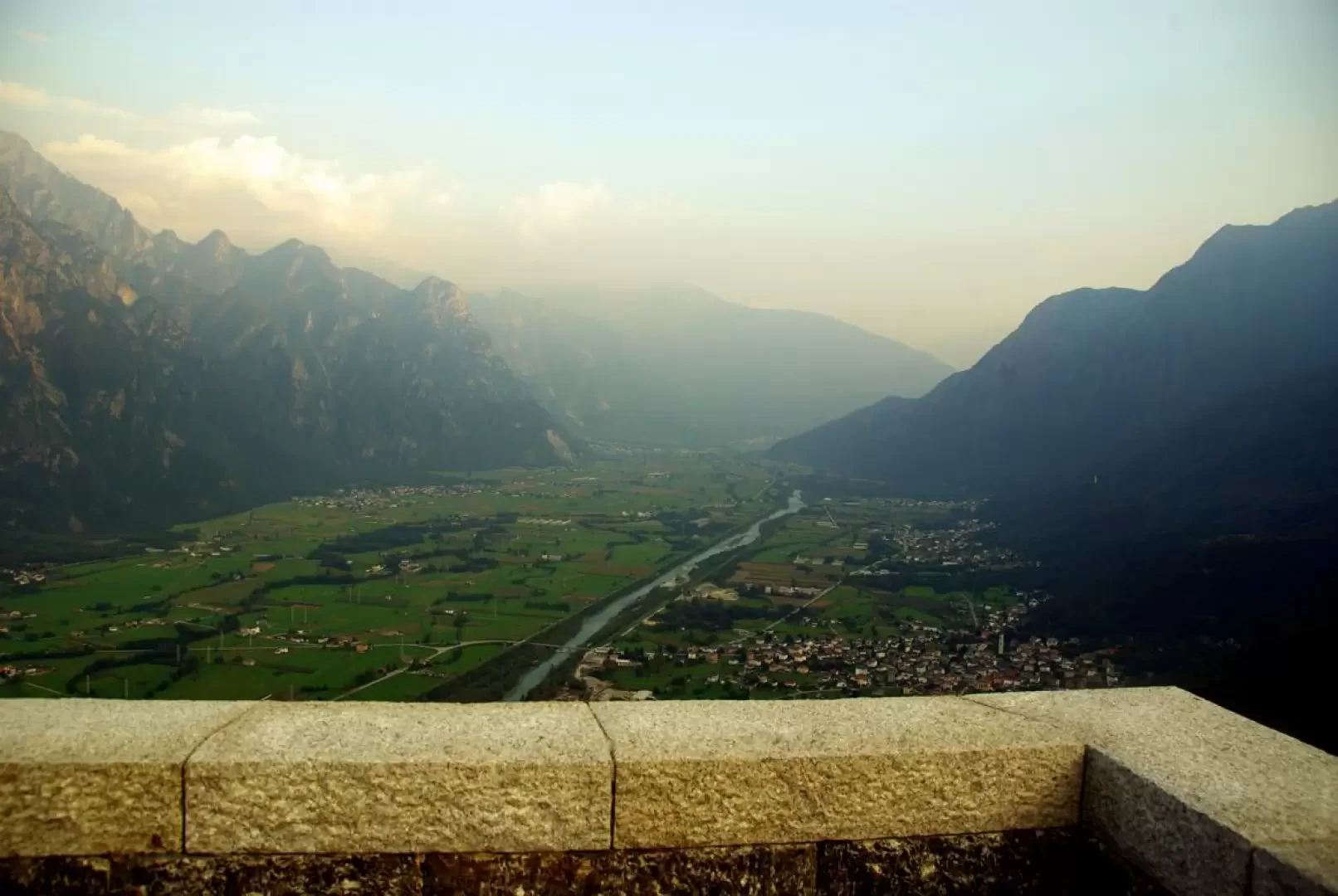
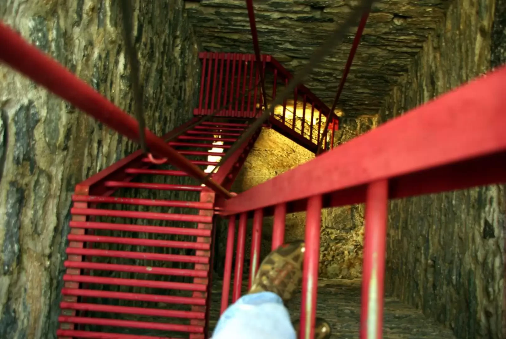
From Ronscione 310 m, right at the edge of the parking area, follow the numerous signs that lead you onto a very steep mule track with a somewhat uneven bottom (also used for dragging timber down into the valley). Where the ascent becomes steeper, a few bends lead to a limited esplanade with the ruins of mountain huts: a few metres before these, an inscription in paint on a stone "Cà Pipeta" points to the right. An up and down traverse leads, through thick chestnut woods, in front of the erratic boulder adapted as a dwelling; continuing the traverse, in a few minutes you reach two consecutive bivouacs separated by a footbridge at the bottom of a humid little valley. Following the signs, climb to the right towards the tower: the path, after a rocky passage on an artificial ledge, climbs steeply up a wooded ridge that leads to a second small valley at the base of the terminal rocks. A wide mule track with steps of logs (more useful for containing the slope than for progression) allows you to reach the granite summit of the 655 m Torre del Signame hill. The tower, built directly on the rock, originally had no openings and was probably reached from the top by means of ladders: now an old demolition breach (protected by a gate) allows access to an internal metal frame that allows access to the very panoramic summit. Back on the rocky spur, you walk along the summit between sparse birch trees, until a steep descent - as if into a grassy forest corridor - leads to the bottom of a wide valley to the Signame Avert 543 m (avert = alp). Here, turn left and walk along a damp, dark hollow fenced in by drystone walls (the limit of the Avert's appurtenances); then the track begins to descend again until it reaches the two bivouacs previously encountered: proceed straight ahead, leaving the ascent to the tower on the left and the path to Cà Pipeta on the right. The path, which is stony and in places not very evident in the foliage, descends past several groups of ruined huts in the chestnut grove until it reaches the houses of Ronscione, at the starting point.
Photo gallery
Comments (0)
Sign in to leave a comment