Tower of Domòfole


Edited by:
Marco Bonati
Updated at: 17/02/2025
Introduction
Description
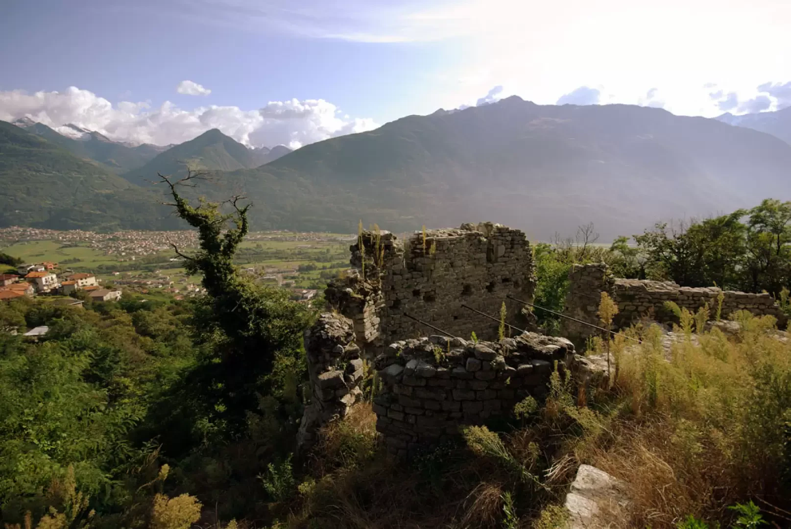
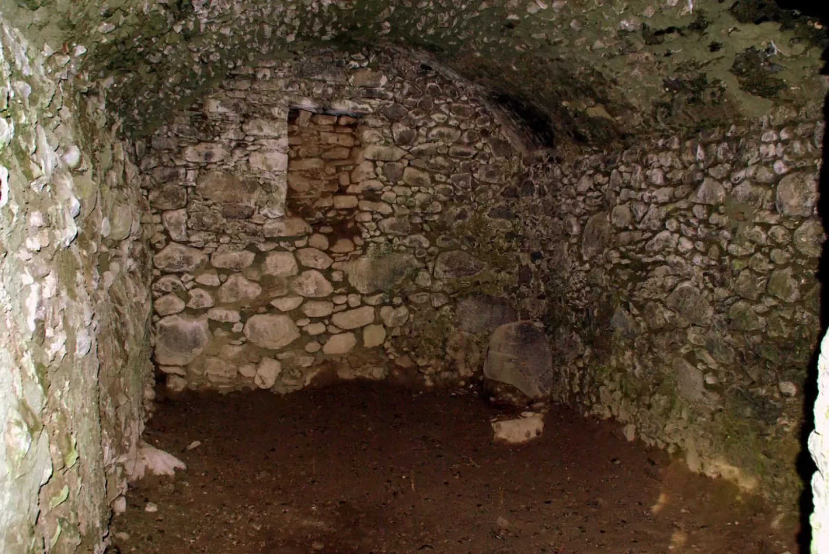
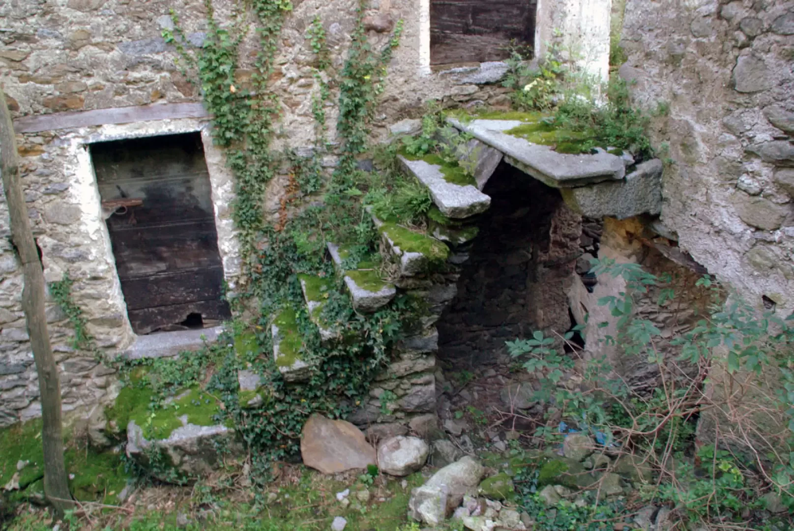
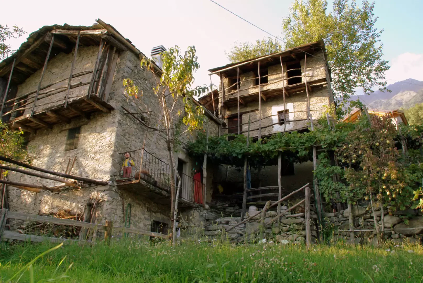
From the car park, we descend to cross the road and take the Coffedo district road up towards the monastery: we are ascending the old communal road to Mello, which in this section is accompanied by a via crucis. The path in the sections between the vineyards is grassy or cobbled, but becomes cemented or paved with self-locking paving stones when it passes between beautiful modern villas. It climbs in the manner of a shortcut between the crossings of the provincial road, always finding its continuation with a simple crossing. At the entrance to the contrada Consiglio, the track followed up to now disappears and one must follow the provincial road to the left; one passes a hairpin bend and, after about 200 metres, turns uphill following the sign 'Castello di Domòfole'. Follow the dirt track and, in about ten minutes, you will reach the ruins. During the visit, if you look carefully inside the walls, you can also visit the cellar (is this where the haunted tunnels start?). For the return journey, it is necessary to retrace one's steps to a building with a double granite portal and from here take a small path: keeping to the right at the crossroads, one arrives at the hairpin bend in the contrada Consiglio. Instead of returning to the provincial road, head for a wide mule track that descends to the right into the woods; the track soon deteriorates due to disuse, but remains practicable amidst grass and brambles; at a fork in the road, turn left, pass the ruins of mountain huts and then, amidst well-kept vineyards, reach a crossroads with cincèt: the view is splendid and there is a 'posa' (a sort of stone bench where the load of the gerli can be placed for momentary relief) suitable for contemplation. We continue along a path traced out on the terraces between the vines, until we converge on a cart track that serves as a depot for various disused materials: as we proceed, the 'things' increase in number and variety, reaching a peak at a stable. At this point we find ourselves on the bank of a steep stream: following the tarmac downhill, in two minutes we arrive at the fountain near the car park.
.Photo gallery
Comments (0)
Sign in to leave a comment