Cima di Fojorina, from Bogno


Edited by:
Marco Bonati
Updated at: 17/03/2026
Access
From Milan you reach Lugano and here, following the signs for Pregassona and Sonvico, take the Val Colla cantonal road. When you reach the village of Bogno, park in the square in front of the municipal house.
Introduction
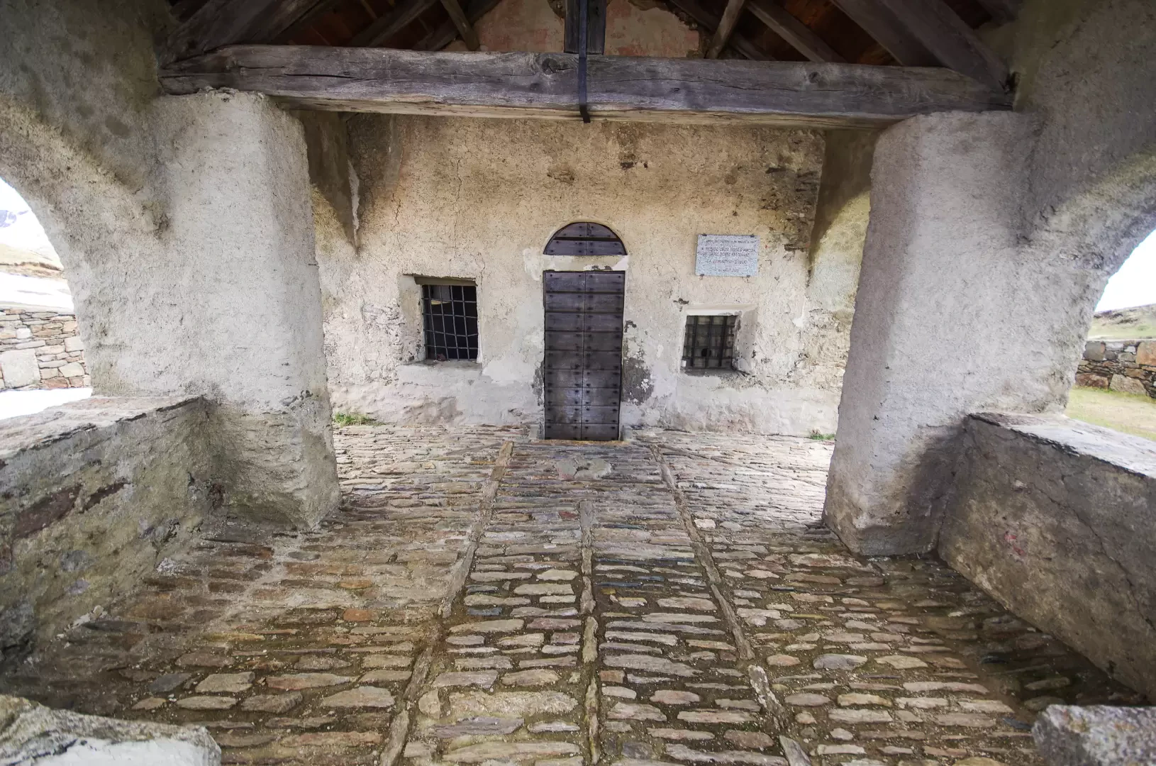
Panoramic excursion along the border ridge that runs along a section of the mountain chain that, starting from Gazzirola, descends to Monte Boglia and ends on the outskirts of Lugano. The visit to the ancient little church of San Lucio (already mentioned in documents dating back to 1359) with its beautiful frescoes and portico to protect pilgrims is remarkable.
Description
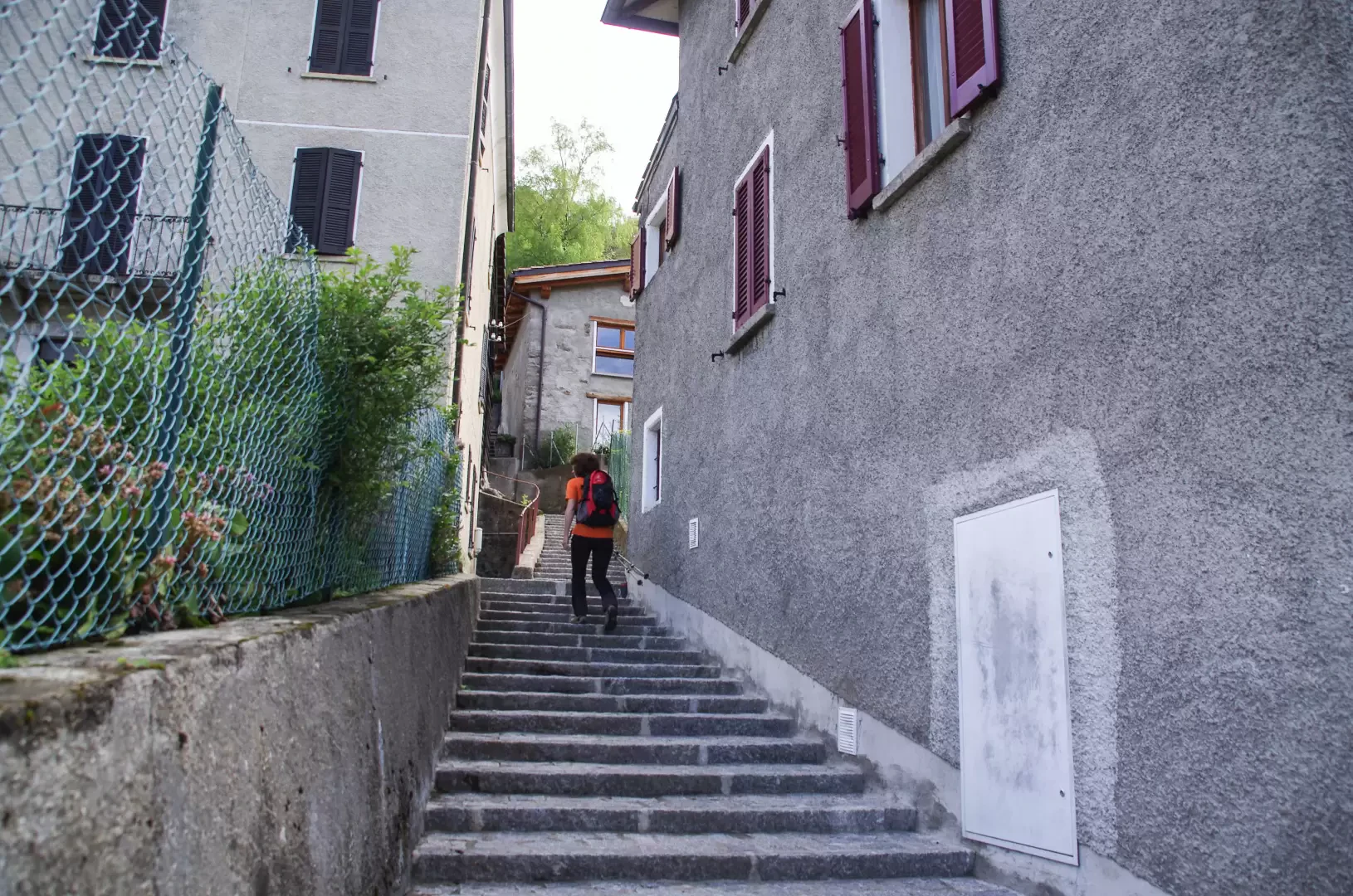
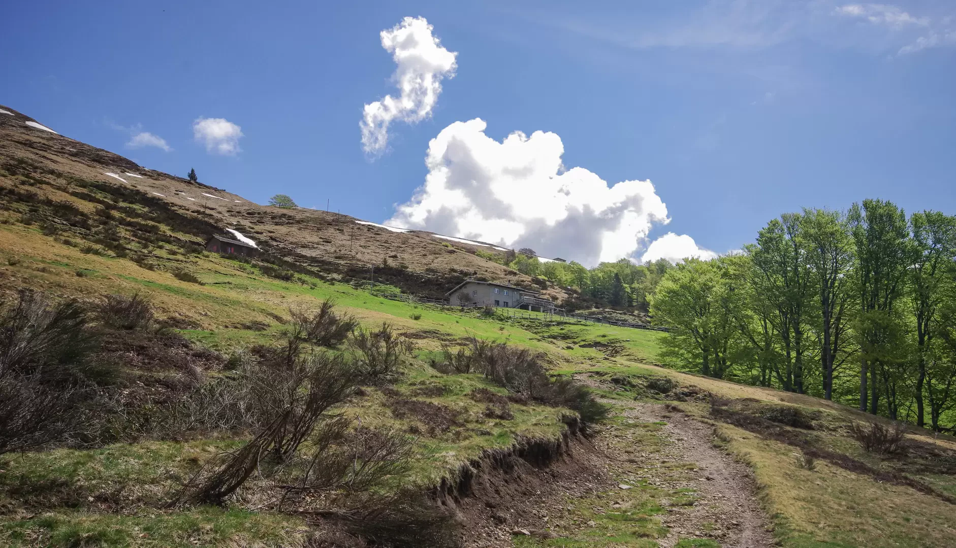
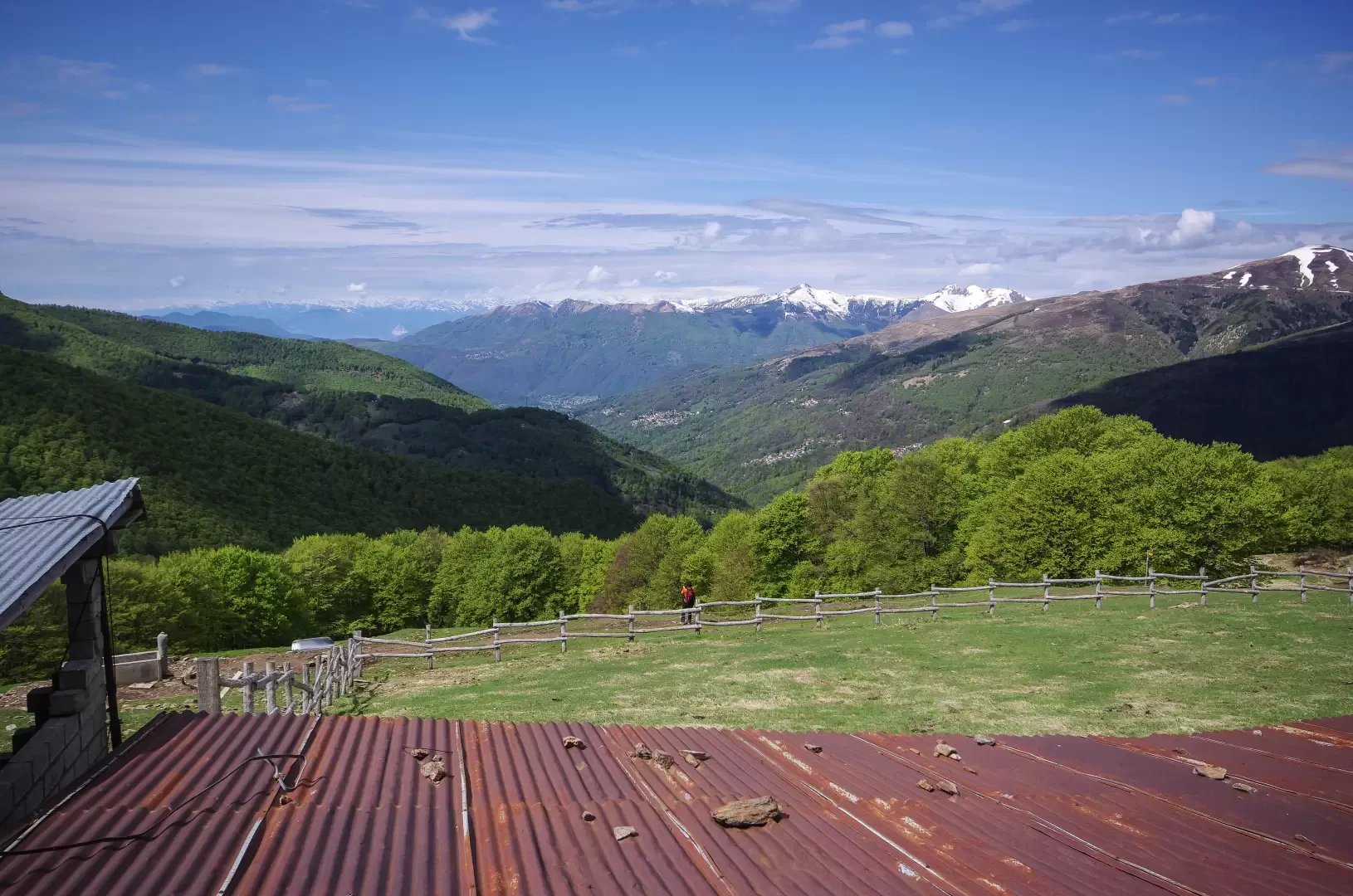
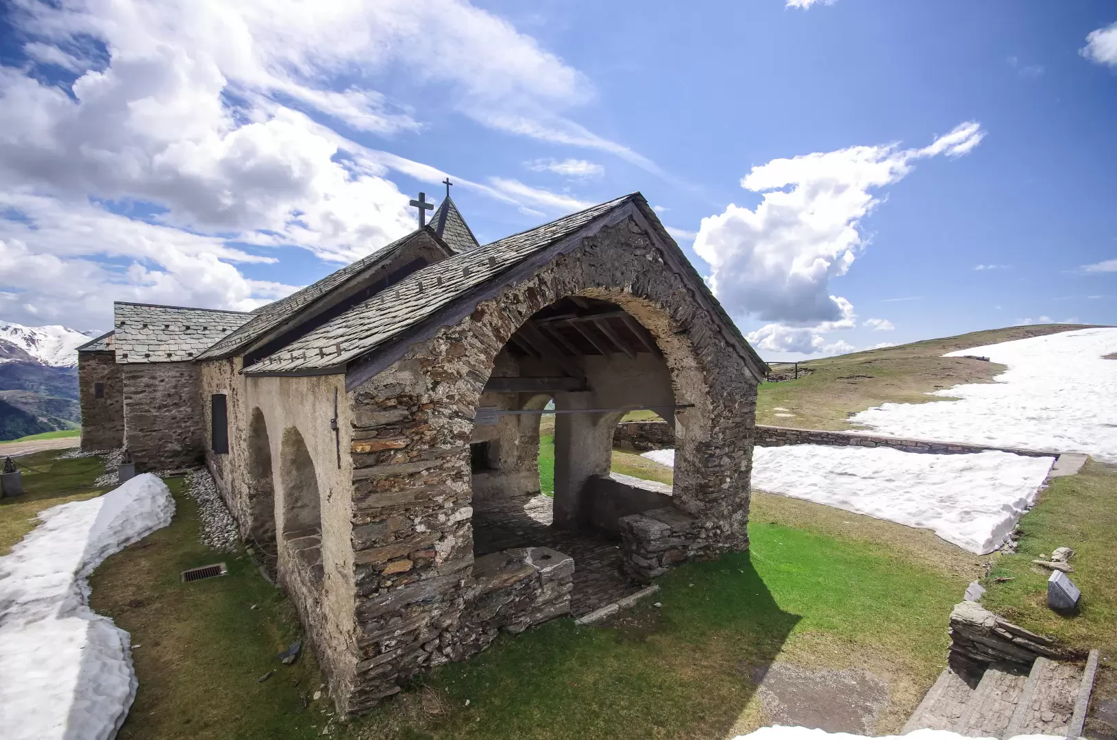
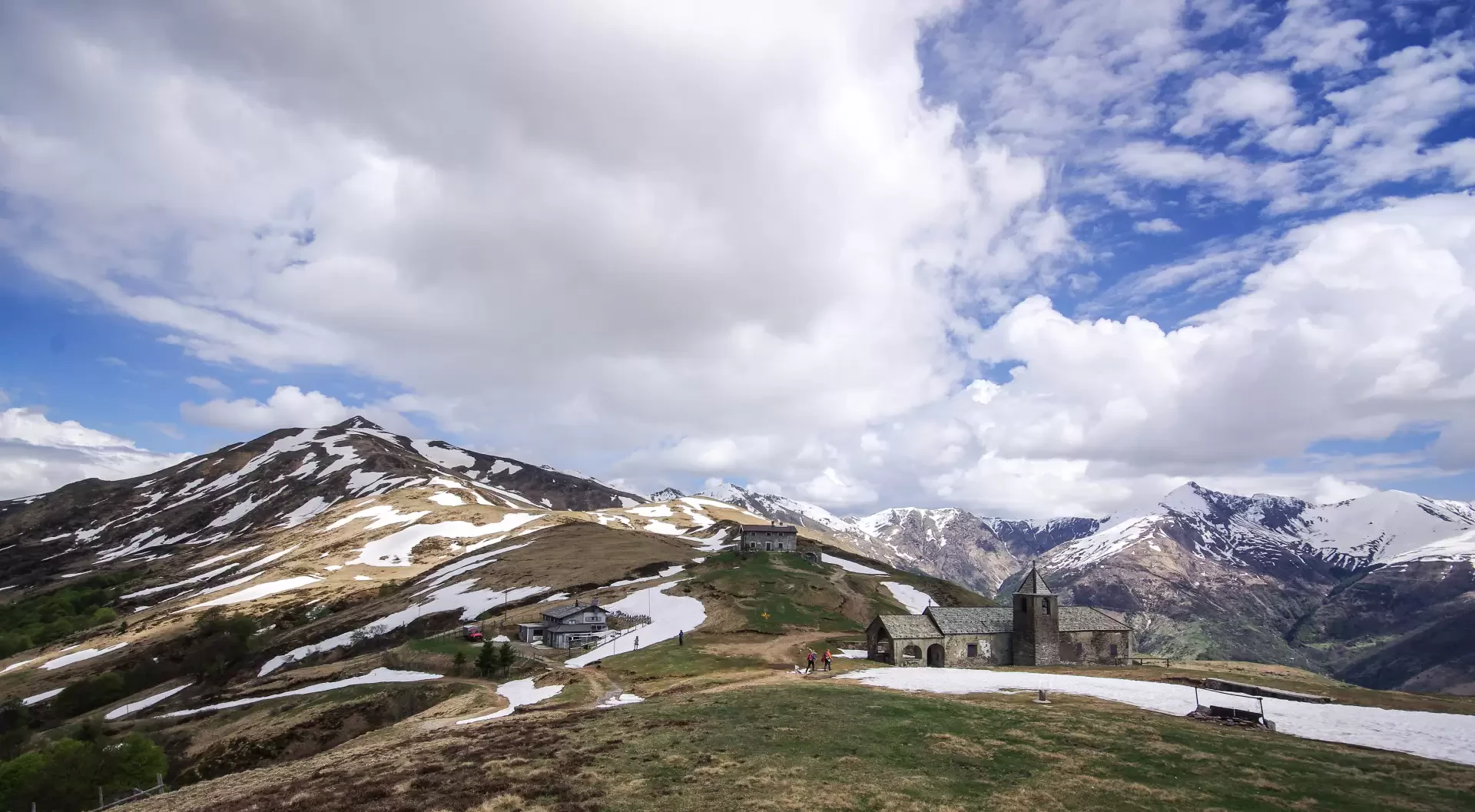
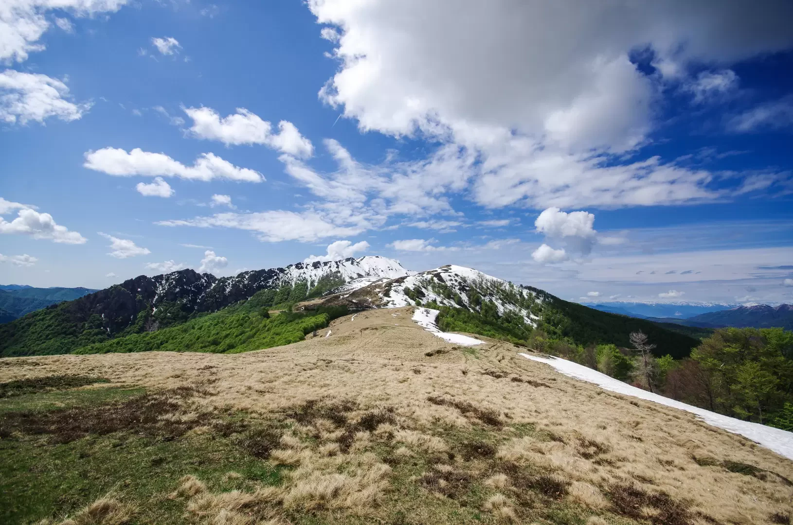
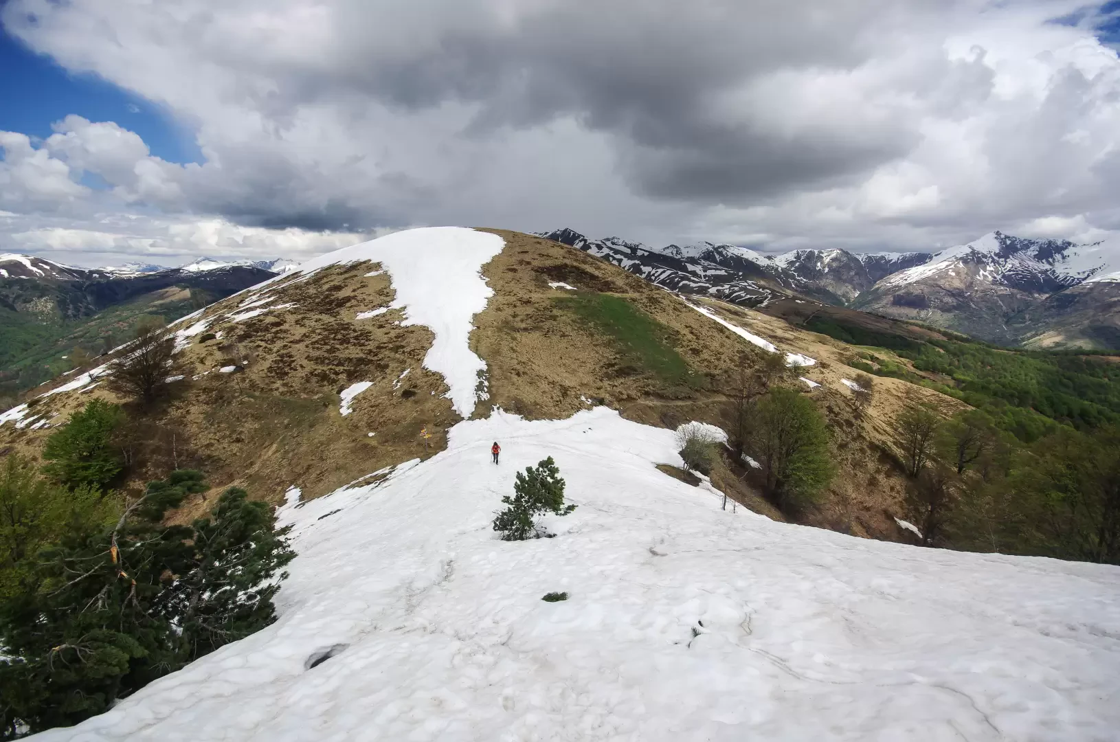
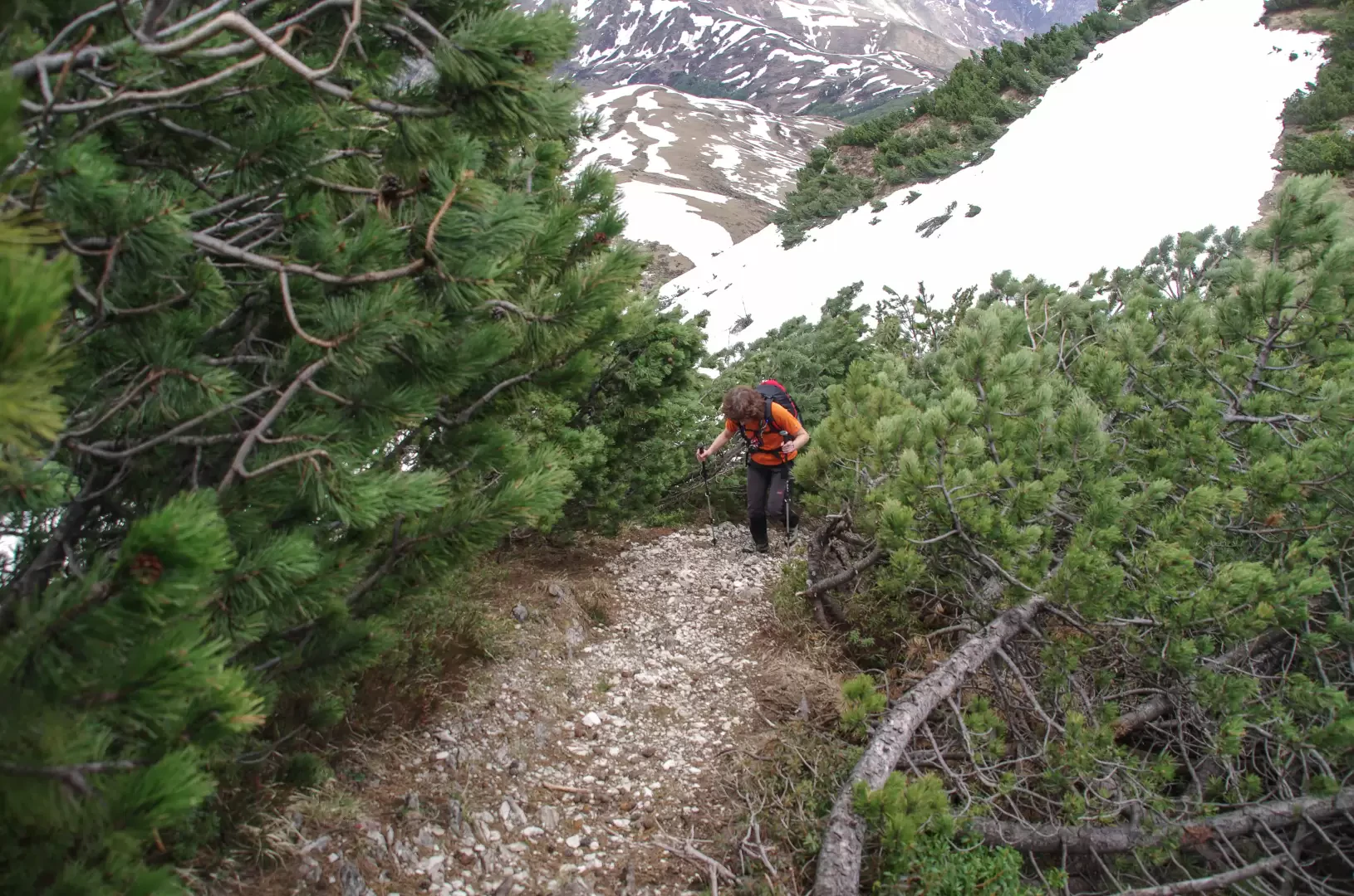
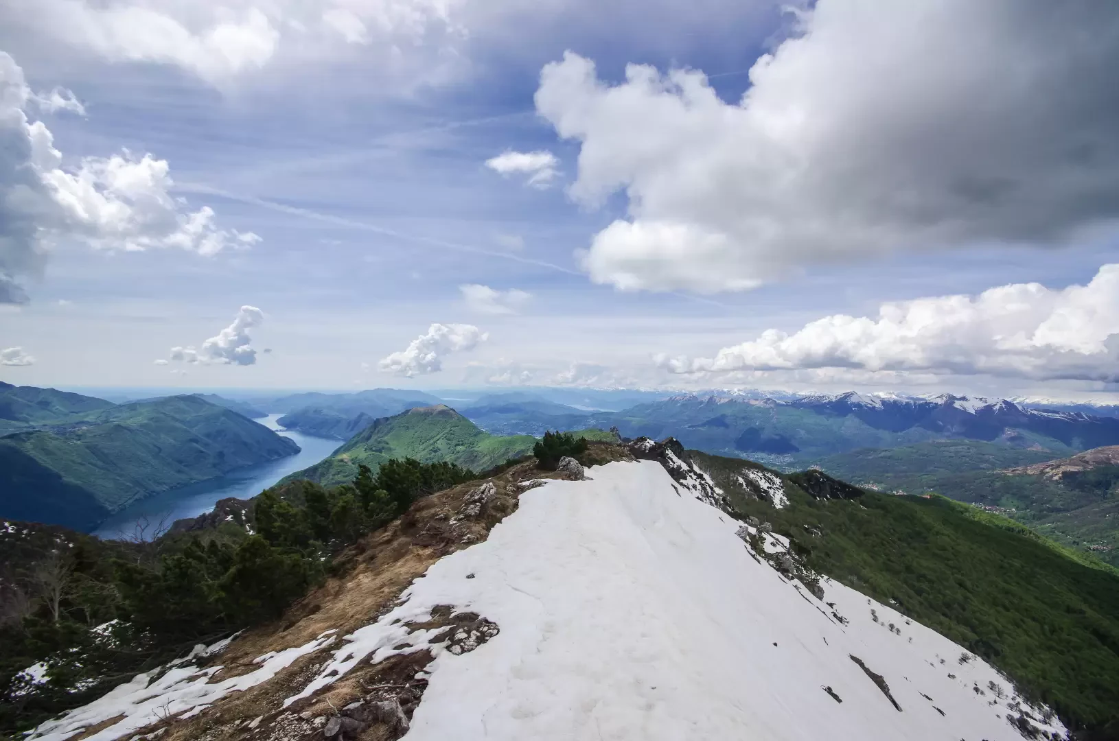
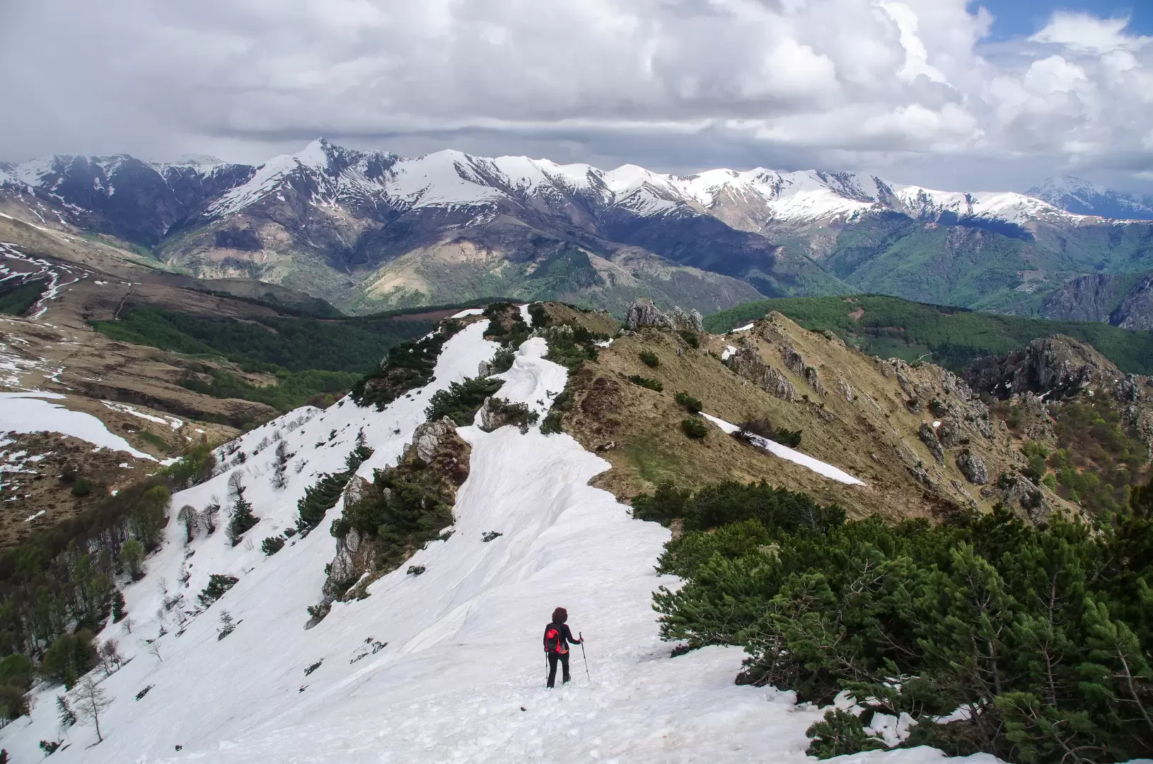
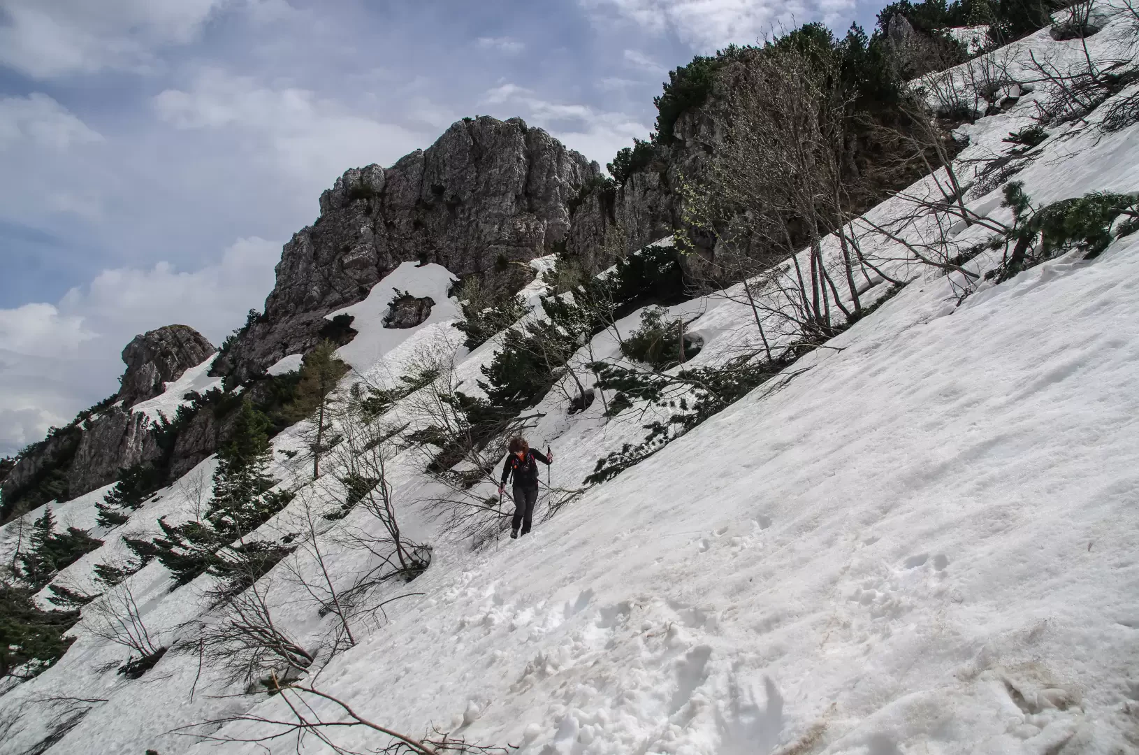
From the small square of Bogno 961m, climb a flight of steps that crosses between the few houses in the village; past the last buildings, enter an airy chestnut wood going up the Val Giumella to the farmsteads of Cima al Matro. A long series of easy hairpin bends gives access to the Val Saslina with its larch woods (recent vast clearing resulting from a clear cut): beyond an easy ford, the tree cover changes to beech forest and extends to the vast pastures of Alpe Cottino 1441m. Leaving the farmstead to the left, you soon reach a forest track that - in a few hundred metres - reaches the San Lucio pass 1542m, a vast ridge of meadows between the Italian Val Cavargna and the Swiss Val Colla. At the pass there is an old church and two huts (one for each nation), just a few metres apart and both former military border structures. From here on, walk southwards along the border ridge to its highest point. Walking comfortably along a beautiful path over the pastures, we pass a poorly surveyed hump Q 1554m and then descend to the Col Q 1505m; a new ascent leads with the same characteristics to Monte Cucco 1624m. The undulations continue with Colle Q 1578m and the modest relief of Colmo di San Bernardo 1616m; having descended to Bocchetta di San Bernardo 1586m, the characteristics of the route change dramatically: the ridge becomes steeper and distinctly wooded with mountain pines. The track avoids a few rocky outcrops and leads to the relief known as Regagno 1717m (from where a rocky ridge starts, closing the Italian Valle di Fiorina to the NE). Descend to Passo di Fojorina 1691m and, from here, in a trench of mugo trees, climb steeply first to the EAST shoulder and then to the elongated summit of Cima di Fojorina 1809m. At the foot of the small cross is the summit book; there is a vast panorama in every direction: from the Grigne to the Monti dell'Alto Lario, to the Ticino Alps, as far as Lake Lugano and a distant Lake Maggiore.
For the return journey - wishing to avoid the continual ups and downs - it is possible to take an easy level track that crosses the slope in Italian territory between the Bocchetta di San Bernardo and the Colle Q 1505m.
Photo gallery
Comments (0)
Sign in to leave a comment