Small Lakes, by Nicke


Edited by:
Massimo Martini
Updated at: 05/07/2025
Access
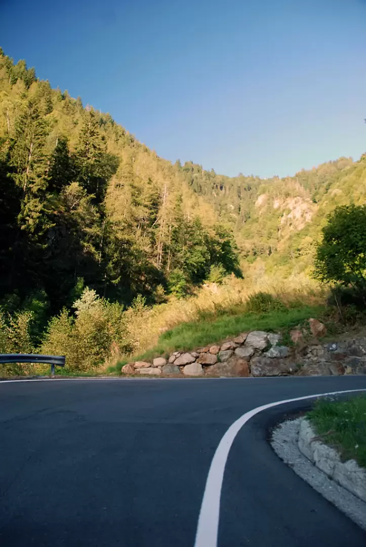
Leaving the motorway at the Pont-Saint-Martin exit, turn right after 100m, pass a set of traffic lights and continue as far as the junction for Gressoney. Enter Pont-Saint-Martin and turn right onto the regional road for the Gressoney valley. Follow the road past Lillianes and Fontainemore to reach Issime: shortly after the centre turn left, following the signs for the San Grato valley. Go up the small road for a few kilometres until you reach a small clearing near the characteristic Grotta dell'Agonia chapel.
- How to get there with GMAPS
- How to get there with Apple Maps
Introduction
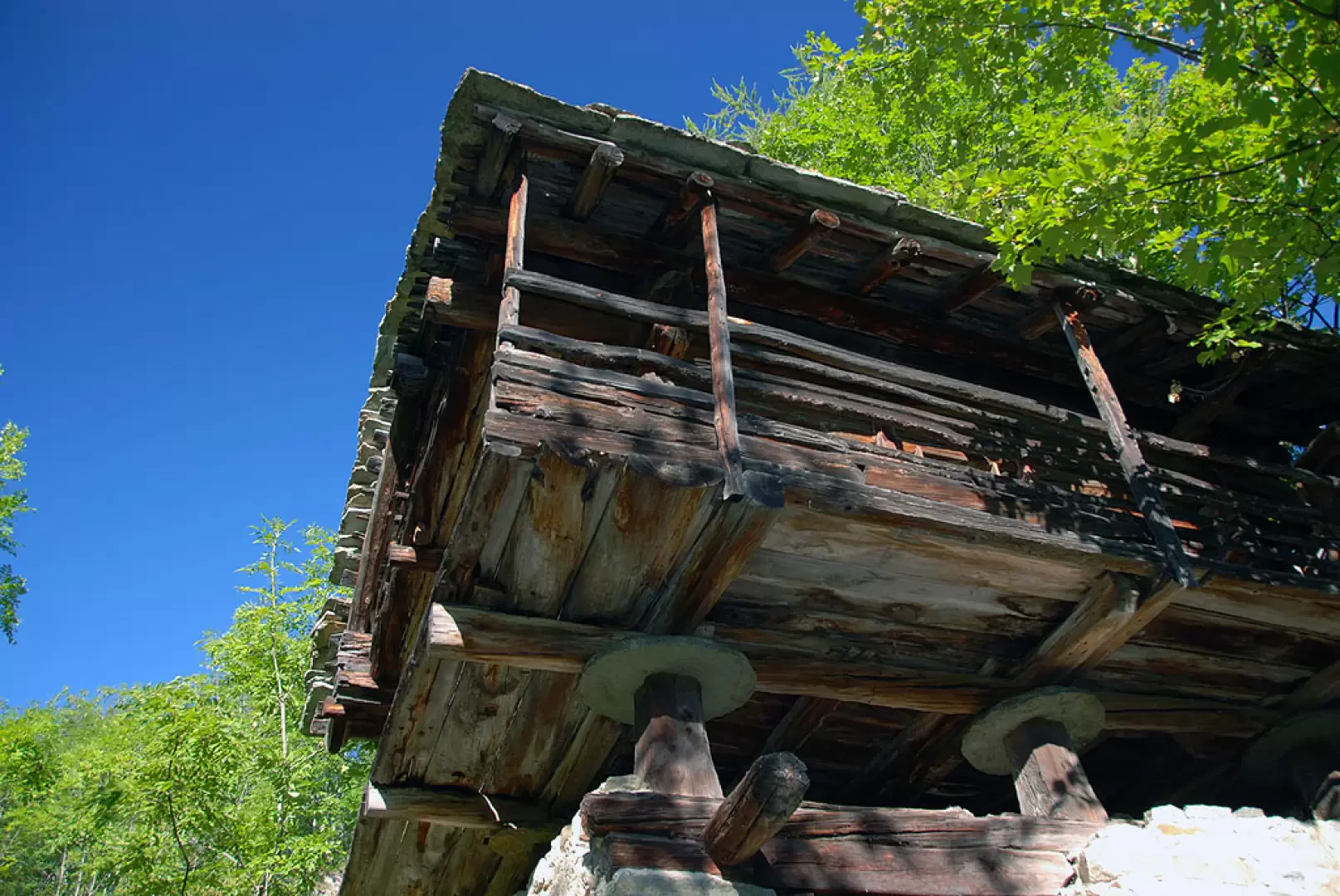
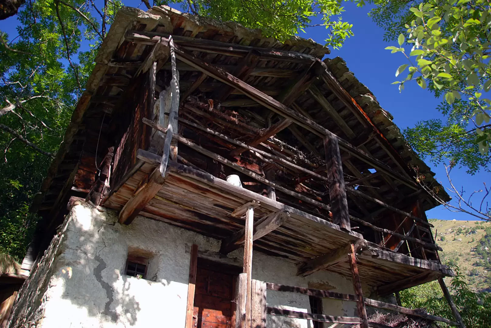
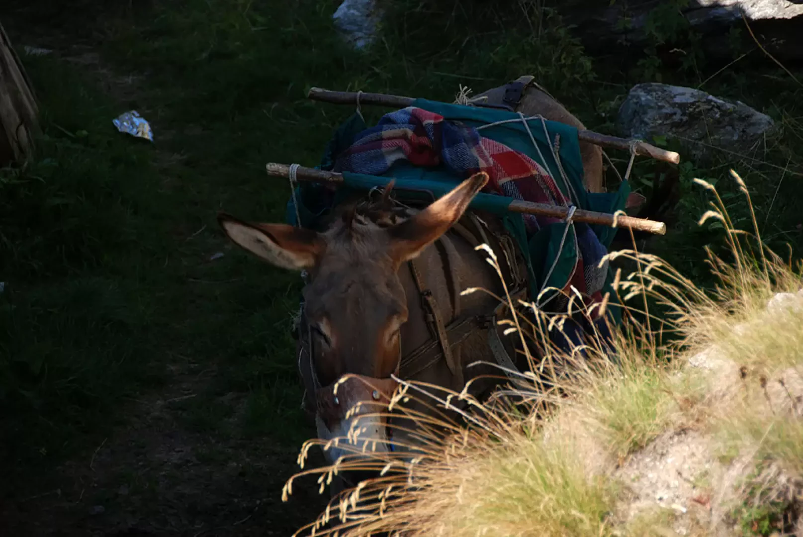
In our times, it is not easy to find a place where time has stood still and one can breathe in the slow pace of agro-pastoral life centuries ago. Certainly the Vallon de Saint-Grat is one such place, and the ascent to the Piccoli Laghi allows you to fully savour this atmosphere. Exciting!
Description
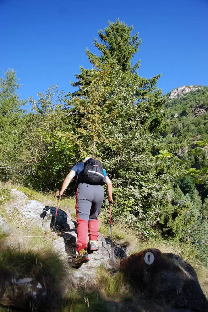
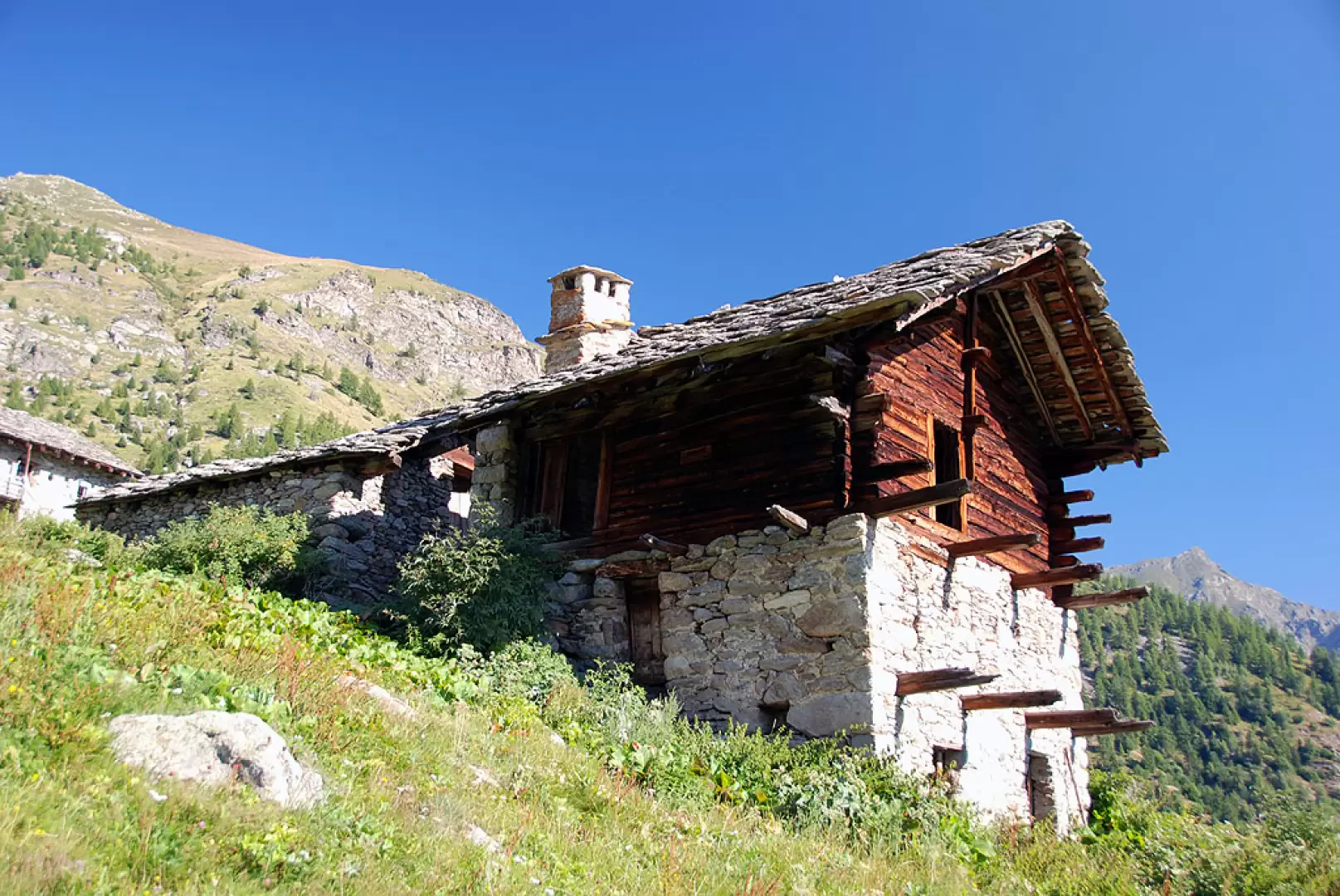
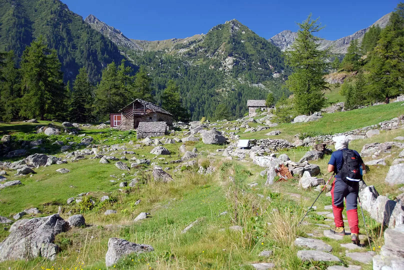
0h00' Leaving the car, proceed along the road for a few dozen metres as far as the hairpin bend to the right: here take a path (unmarked and barely visible) that crosses the stream and leads to the orographic right. After finding the mouth of the mule track, the route immediately becomes evident and marked. Climb up through the forest on the beautiful paved mule track that takes a series of twists and turns to reach the abandoned village of Hubal (1359m).
0h35' Cross the characteristic Walser hamlets and start climbing again in a westerly direction, soon reaching the roadway to Saint-Grat (1434m).
1h10' Cross the road and take the mule track back onto a ramp (follow the road to the right for about ten metres: the ramp is on the left).
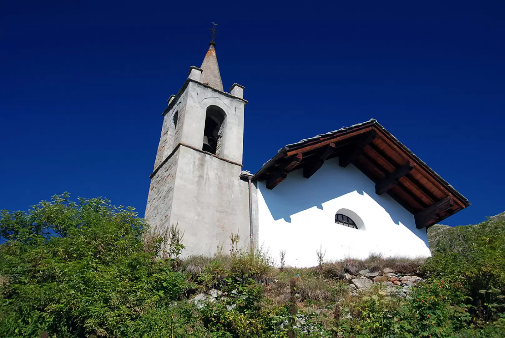
Continue on the mule track again and in a few minutes you will reach the stadel of Hantschekku (1459m, 1h15') and then leave the forest and follow the grassy ridge to Ekku (1540m, 1h30') and a little further on you will pass the road again. Continue along the path and you will soon reach the characteristic little church of Saint-Grat (1666m, 1h45').
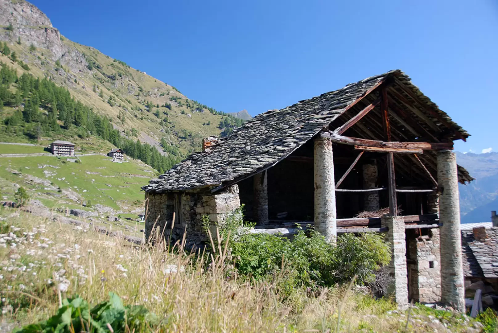
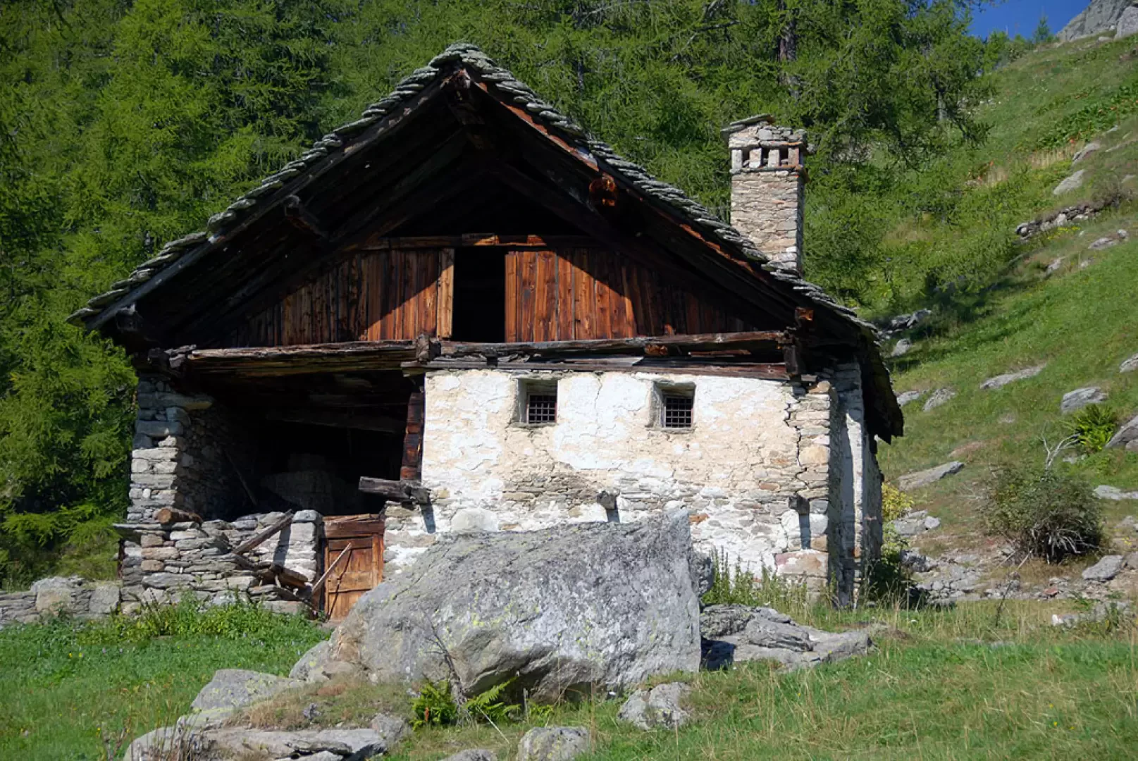
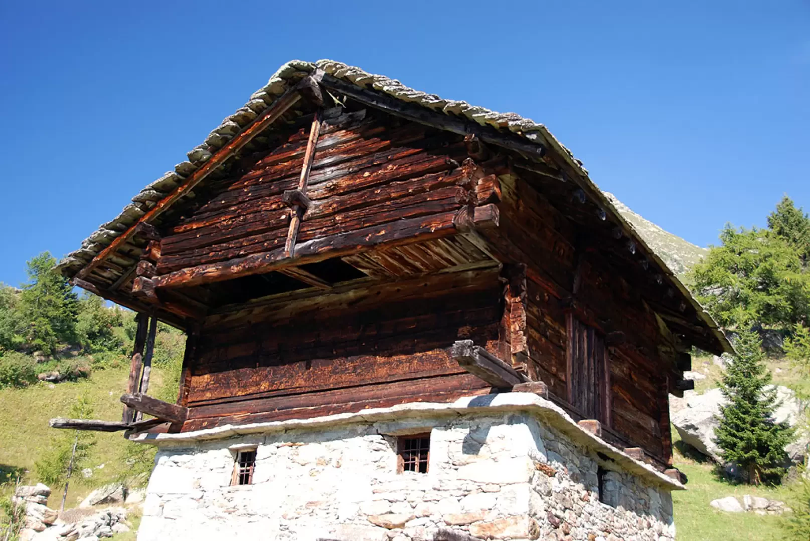
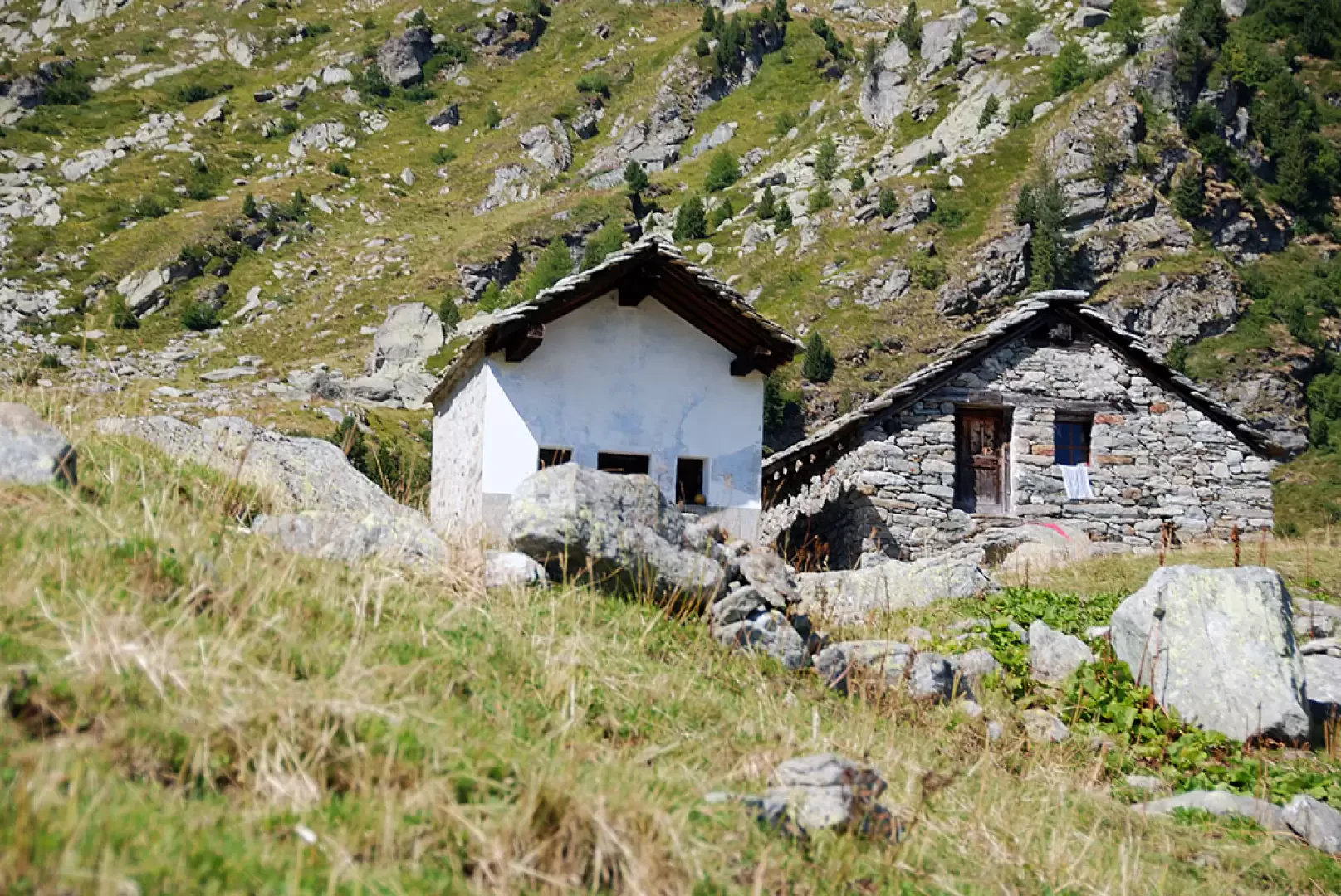
On reaching the little church, head uphill to the left until you reach the peculiar buildings of Chröiz (1685m, 1h50').
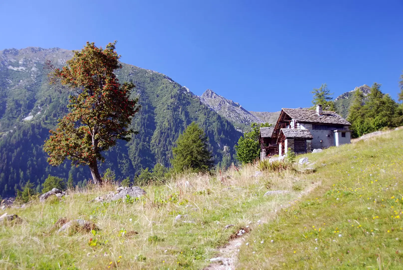
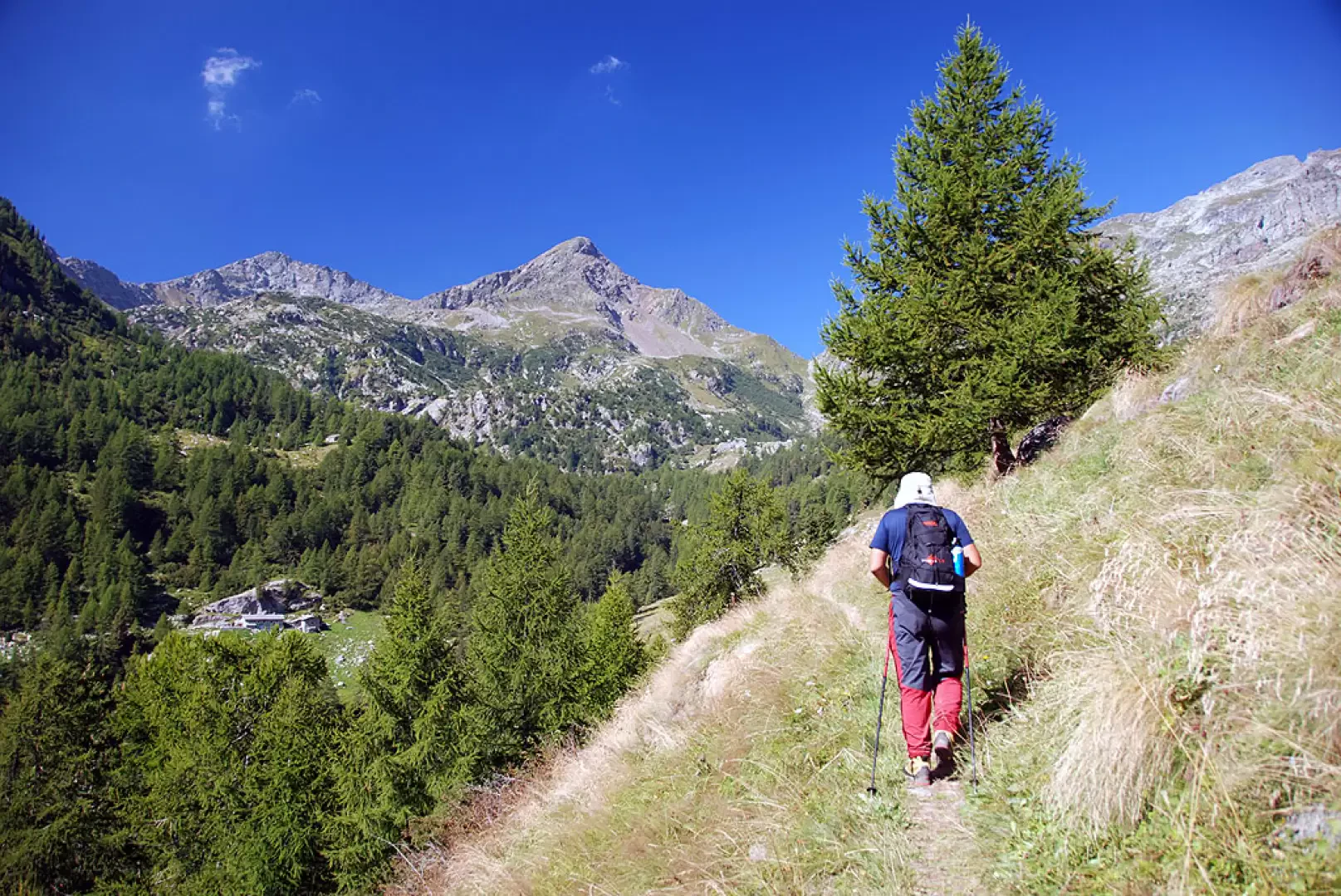
On a boulder, you will come across some yellow markings: follow the path (1), which starts out slightly uphill and leads into the valley. The path now presents a succession of villages and isolated buildings dotting the valley like an open-air museum. A beautiful red rowan tree is reached and, shortly afterwards, Ruassi (1711m, 2h00') is encountered: disregard the path (1B) that branches off to the right. The walk continues pleasantly, letting yourself be lulled by the Walser atmosphere. You reach Toifi (1724m, 2h10'), Stubi (1786m, 2h35') and Kekkerasjatz (1835m, 2h55'). The trail continues towards Col Dondeuil, crosses a stream on a wooden footbridge and begins to climb the step before Muni. After a few minutes you come to the junction of the path (1F) and begin to climb the slope in a series of twists and turns until you reach a solitary little house set among huge boulders. A few metres more or less on the level and you reach Muni (2021m, 3h30') and its pretty chapel.
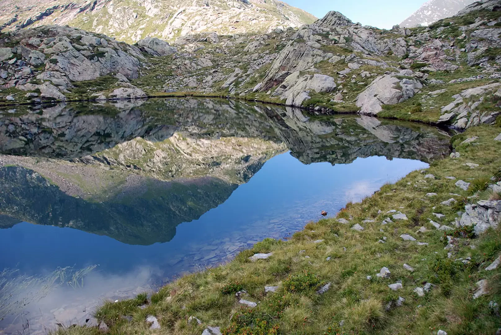
On the left-hand side, path 1A starts out, not very visible because of the cattle tracks; having passed the short plateau, the path becomes more evident when it begins to climb up the ridge adorned with alder and stone pine. After an initial uphill stretch, you reach a plain where there is a peat bog; with a wide semicircle, you round the peat bog to the right and begin to climb the ridge that precedes the lakes. With a last effort, you overcome about 150 m of difference in altitude until you reach the lonely pasture of Siawa (2269 m, 3h55'): the final destination is now close at hand, you continue slightly to the right until you reach the Piccoli Laghi (2272m, 4h00') located at the foot of the imposing Corno del Lago.
From the lakes, you can appreciate the interesting view of the north-east face of Mont Crabun and also an unusual glimpse of the Torché, Vlou and Voghel triptych.
The descent follows the same route as the outward journey (2h30') or by following the path
from Muni to Saint-Grat, to further appreciate the rural architecture of this incredible place.
General Information
Signposts: - <GSW>g, and
Photo gallery
Comments (0)
Sign in to leave a comment