Sass from the Gal, from Baruffini

Edited by:
Marco Bonati
Updated at: 02/11/2025
Access
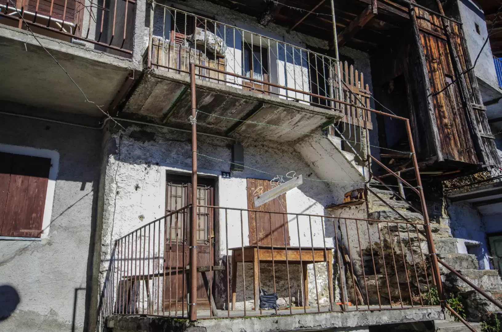
From Milan to Tirano along state roads 36 and 38; after entering the town and passing the sanctuary square, you reach the first traffic lights and turn left into Via Pedrotti. Beyond the hospital you will find signs for Baruffini; in the small hamlet park at the cemetery or in the few spaces available in front of the parish church.
Introduction
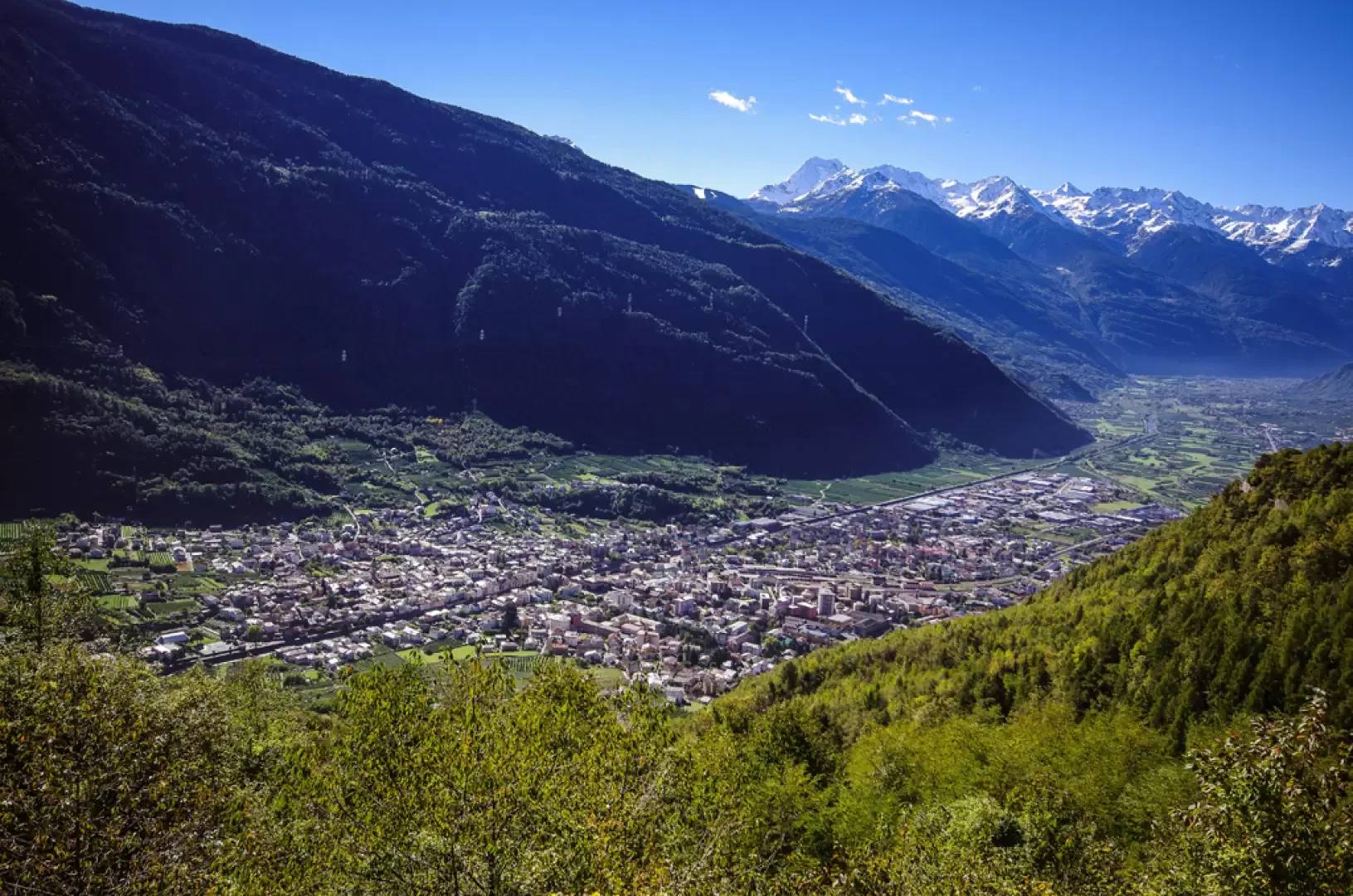
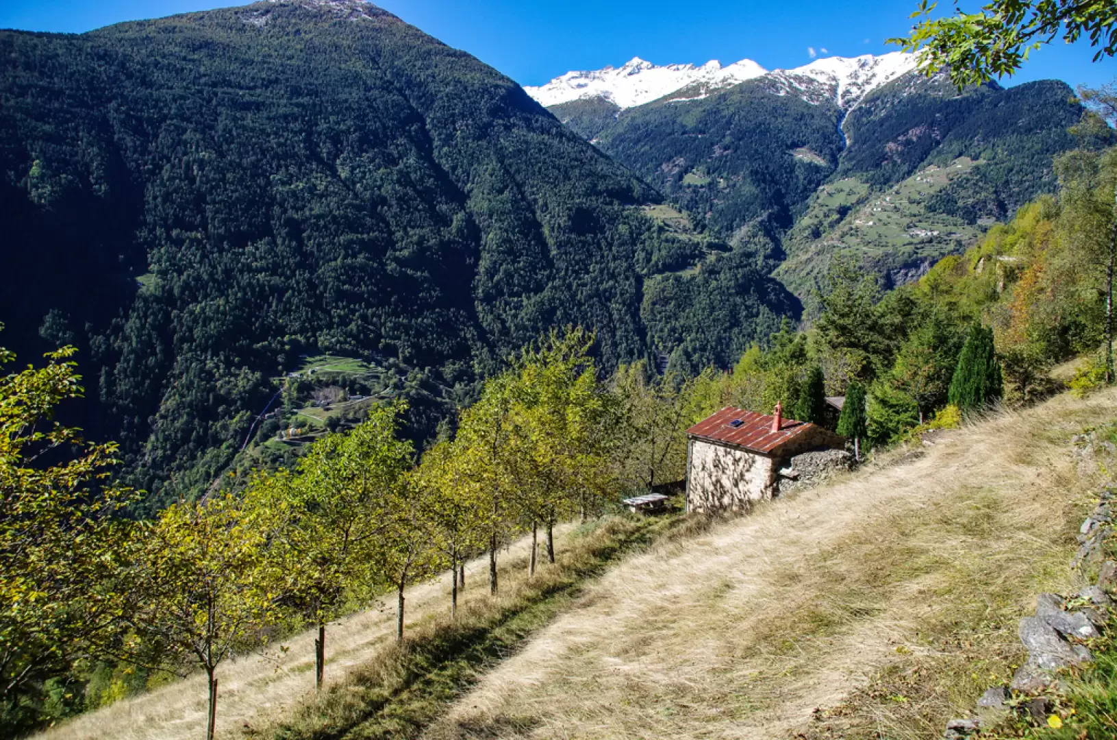
Easy hike along the numerous military trails that weave their way along the slope north of Tirano, overlapping with equally numerous smugglers' paths in a stretch of mountain where the Italian-Swiss border now appears indistinguishable. The return route widens out towards some maggenghi on the slopes of Monte Masuccio, in an extremely panoramic position over the entire middle section of the Valtellina.
Description
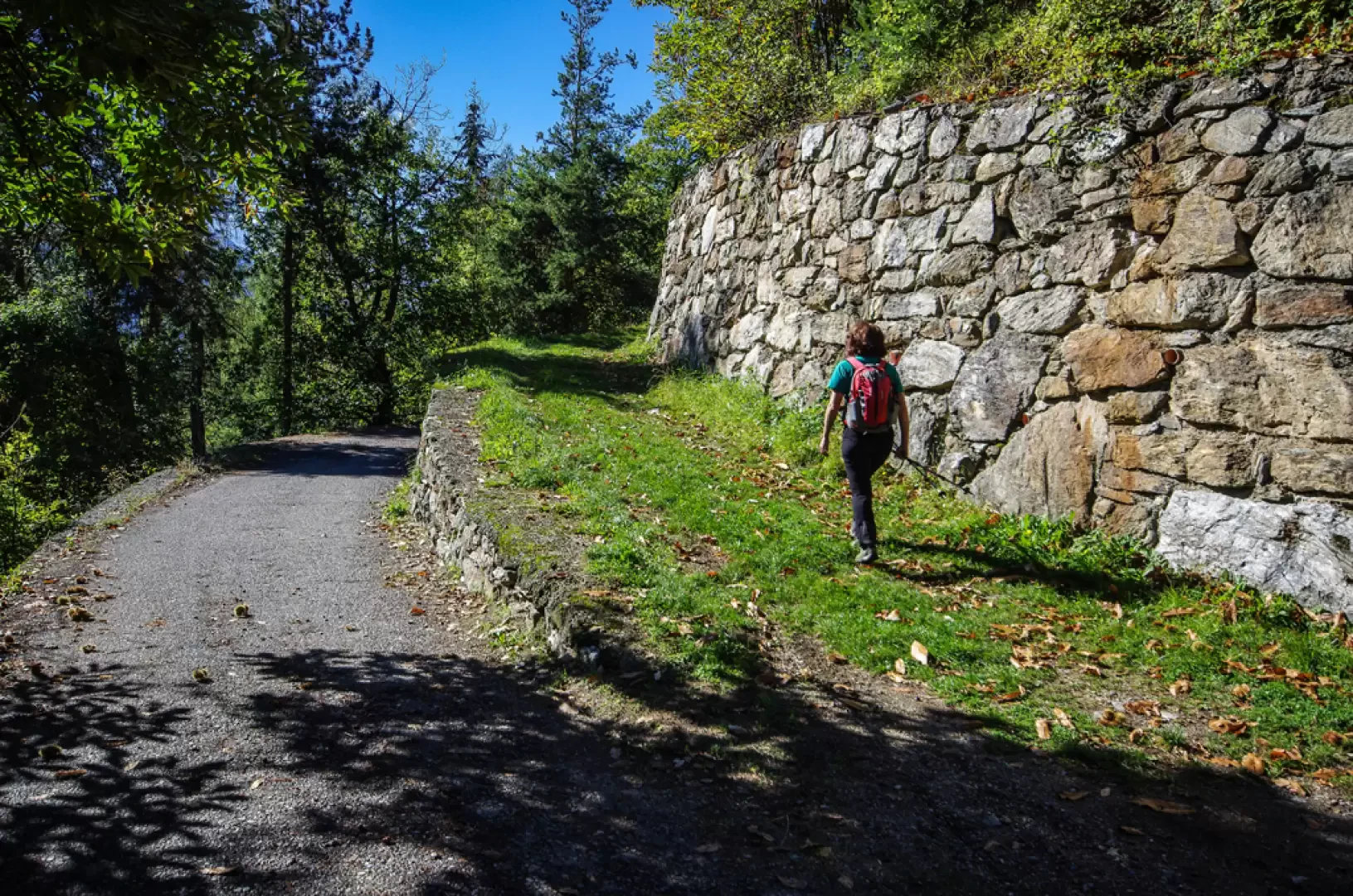
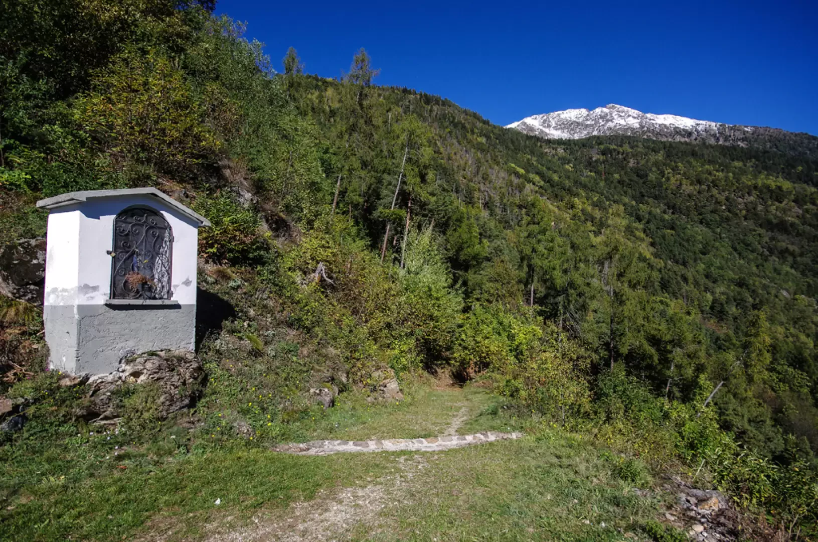
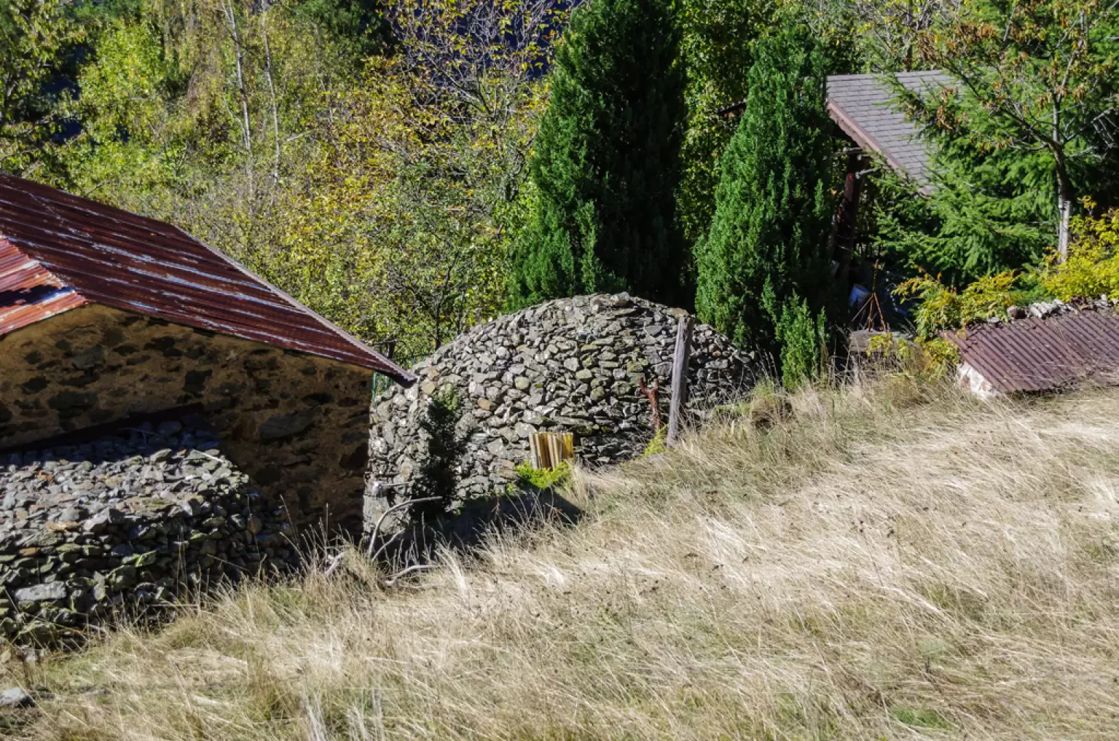
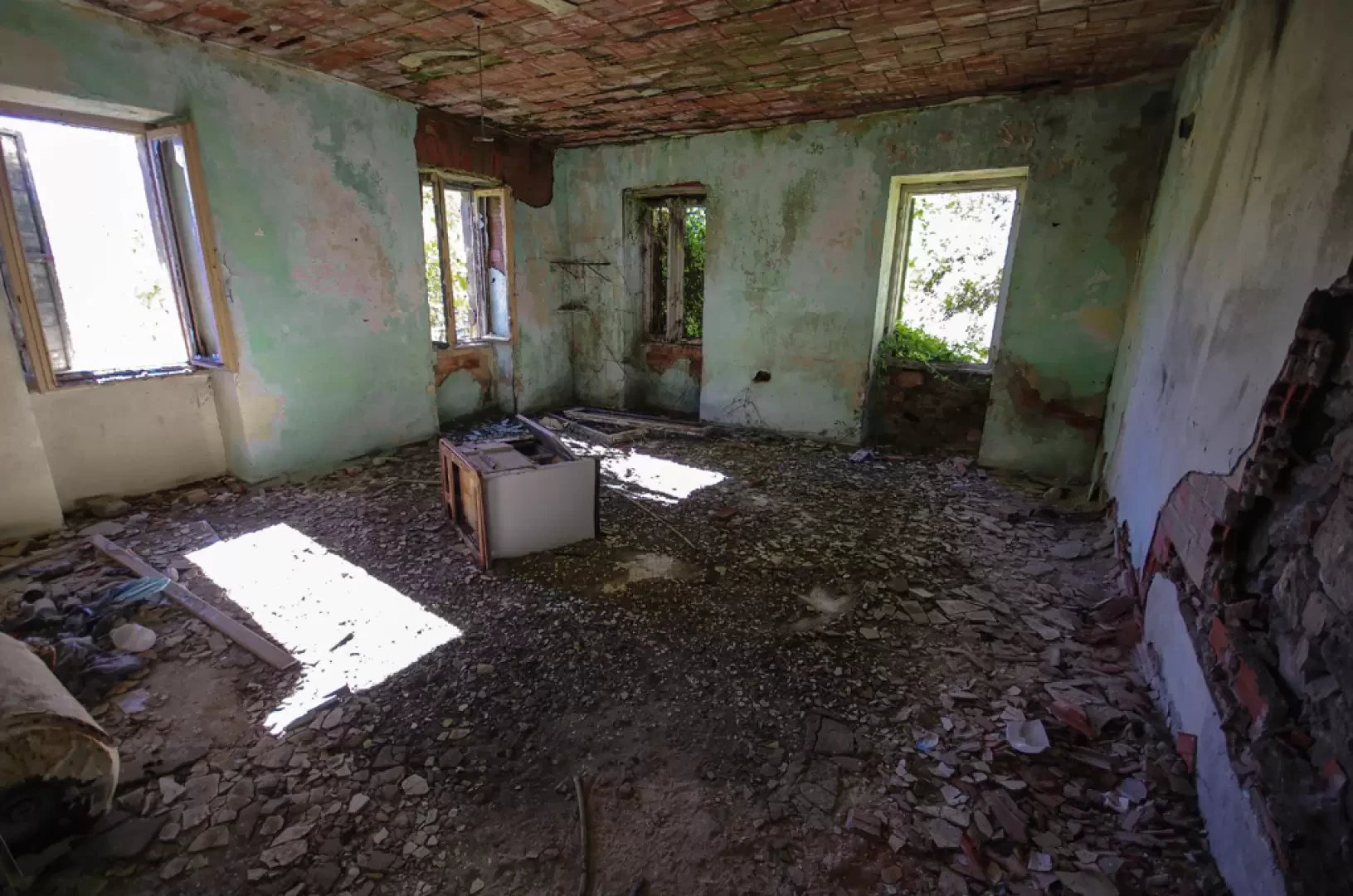
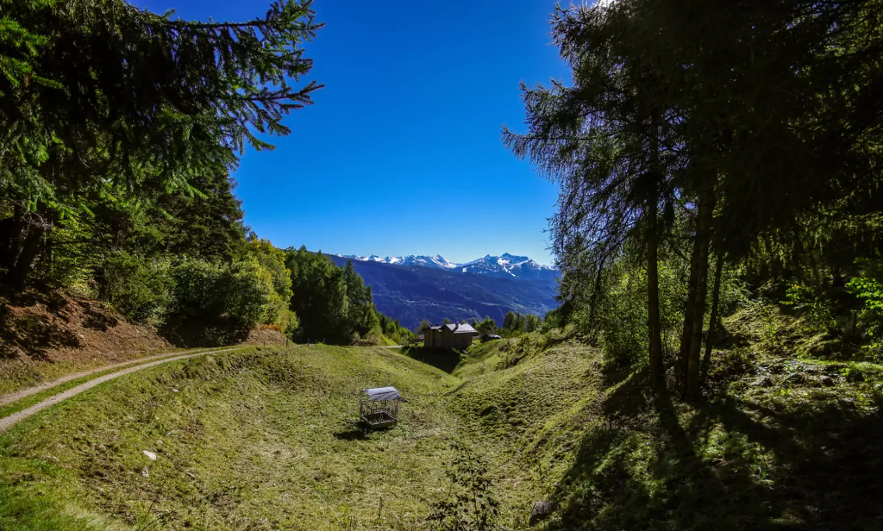
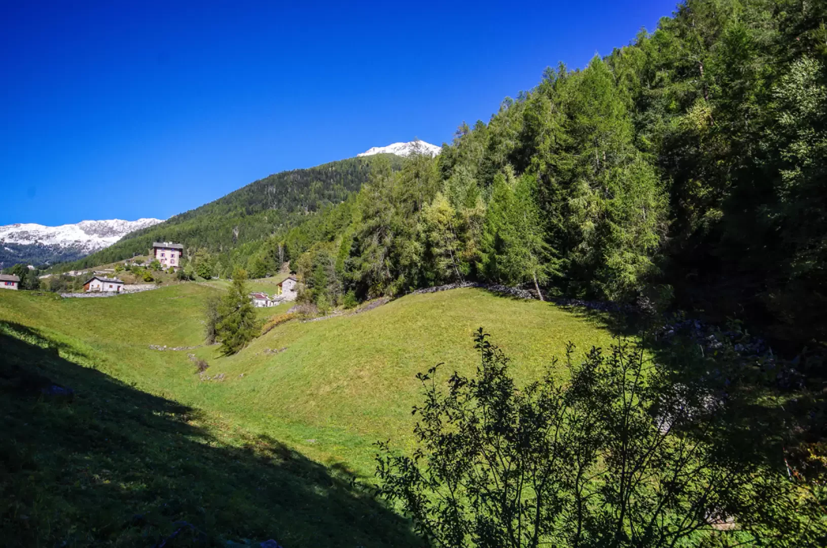
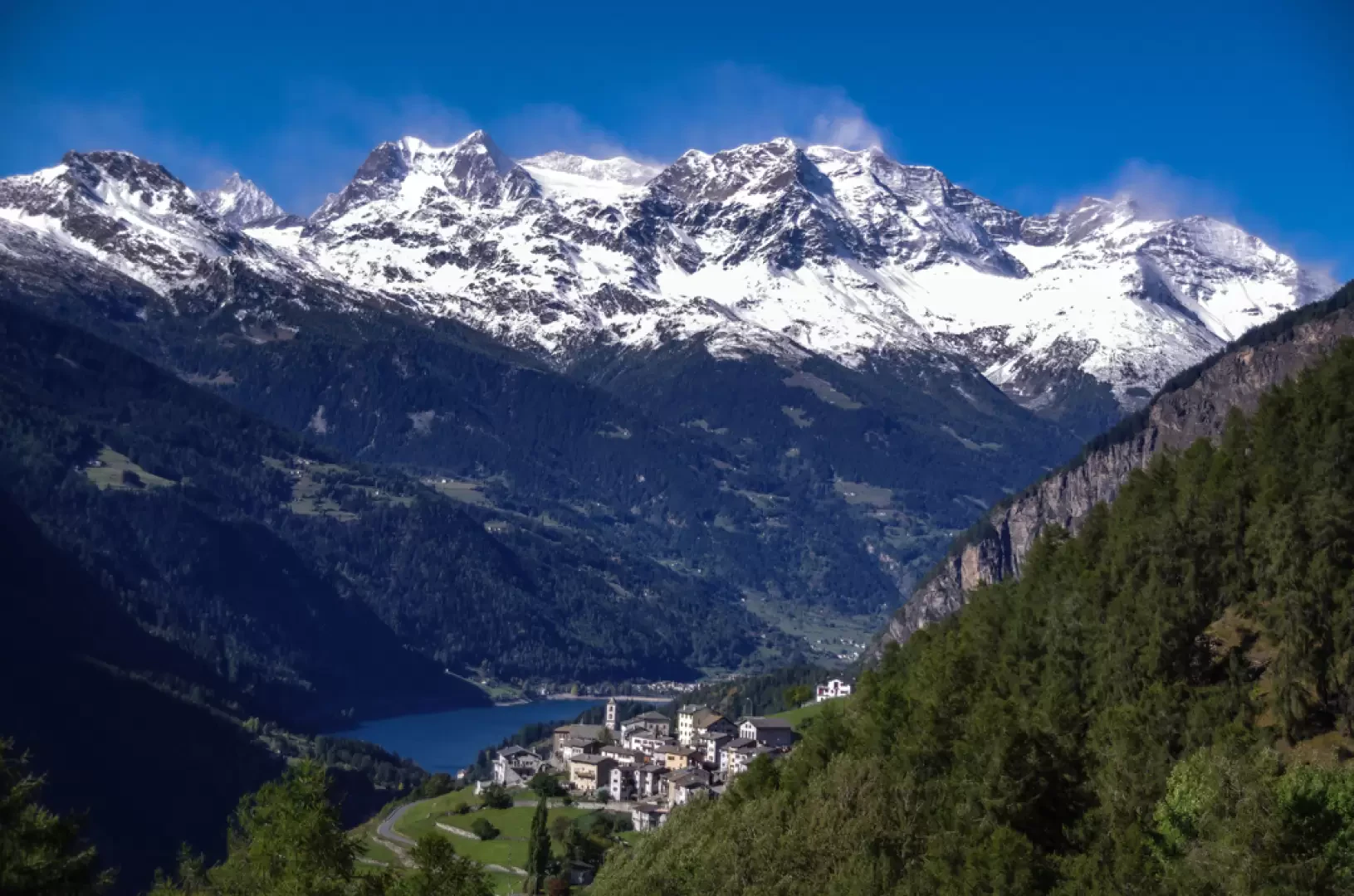
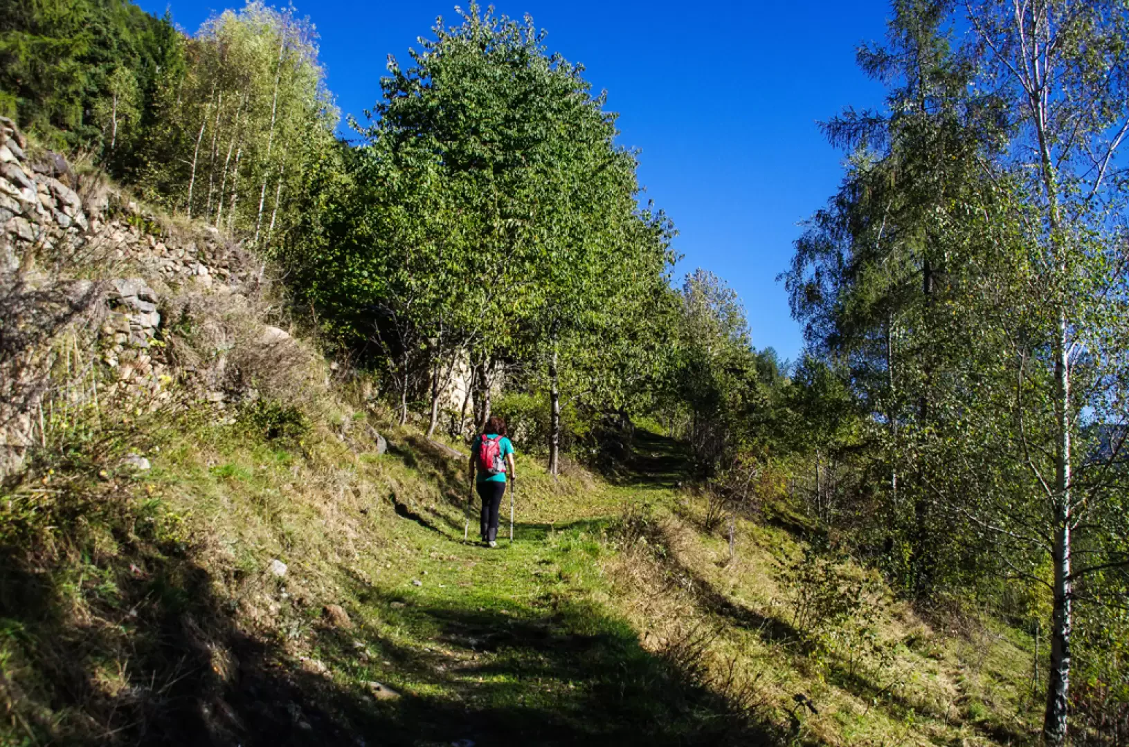
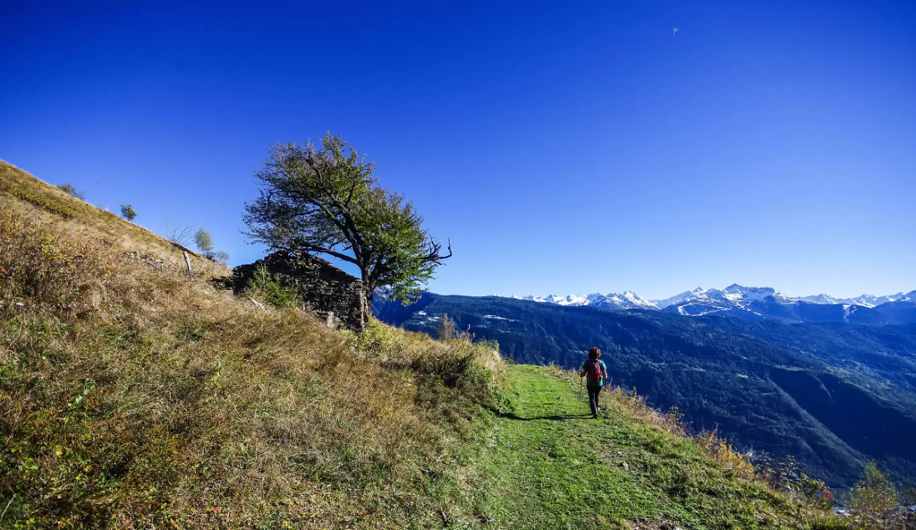
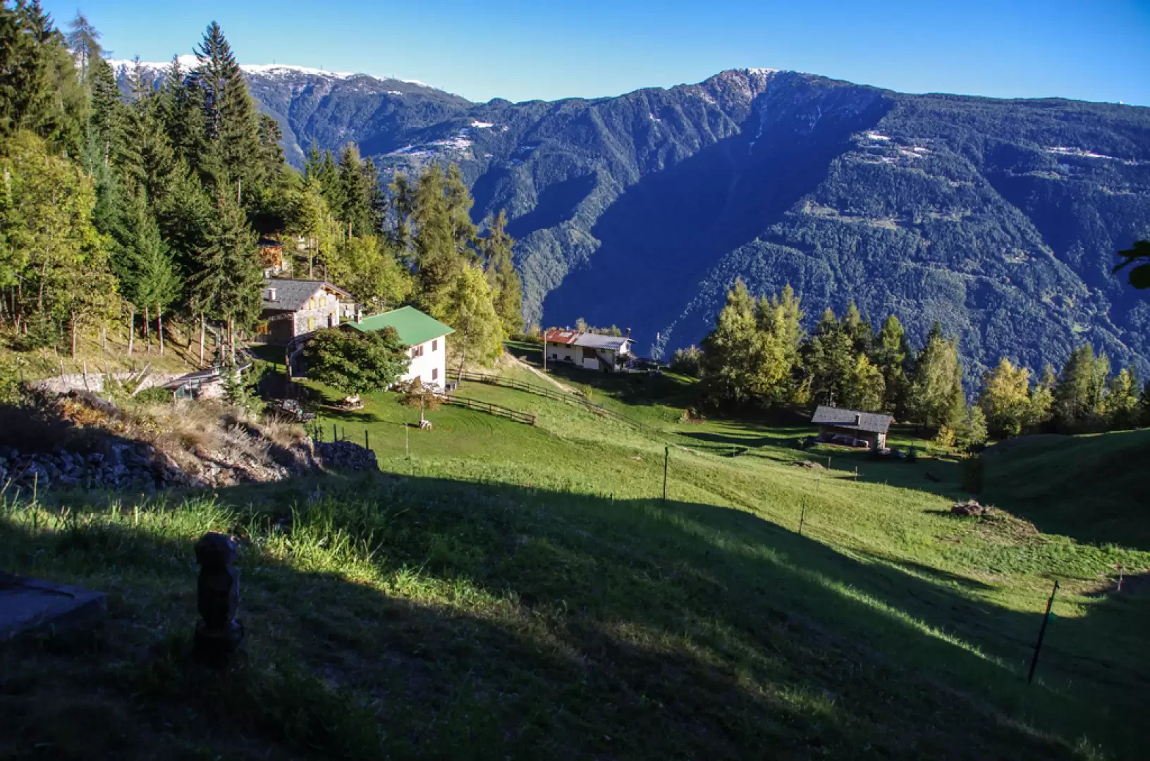
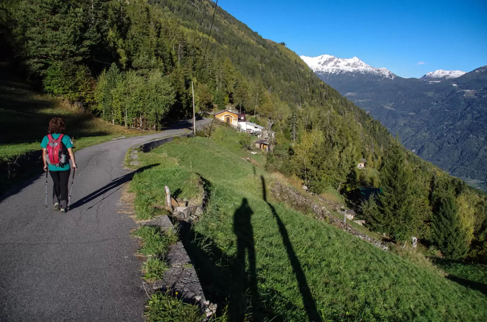
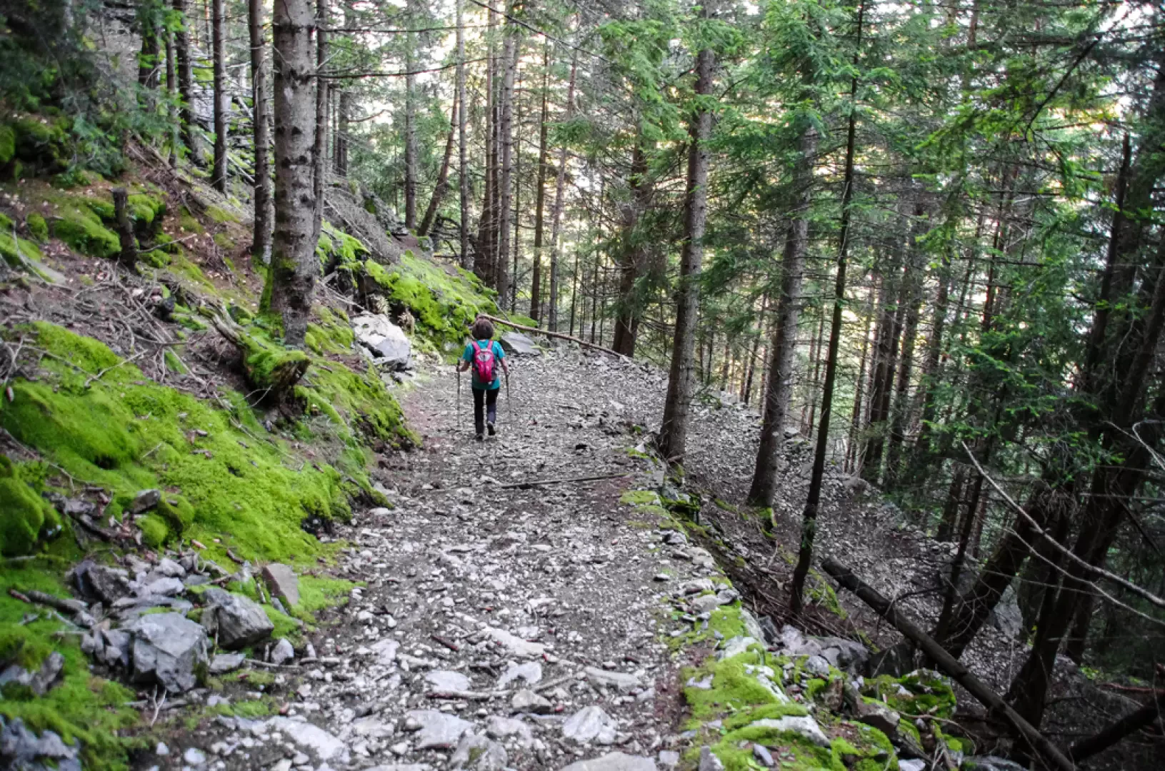
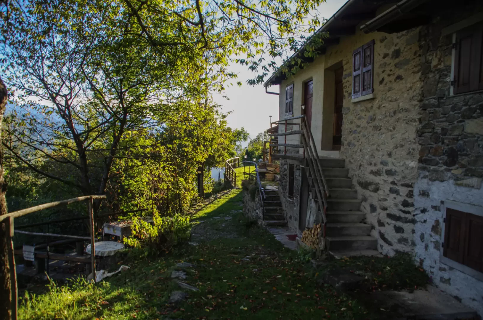
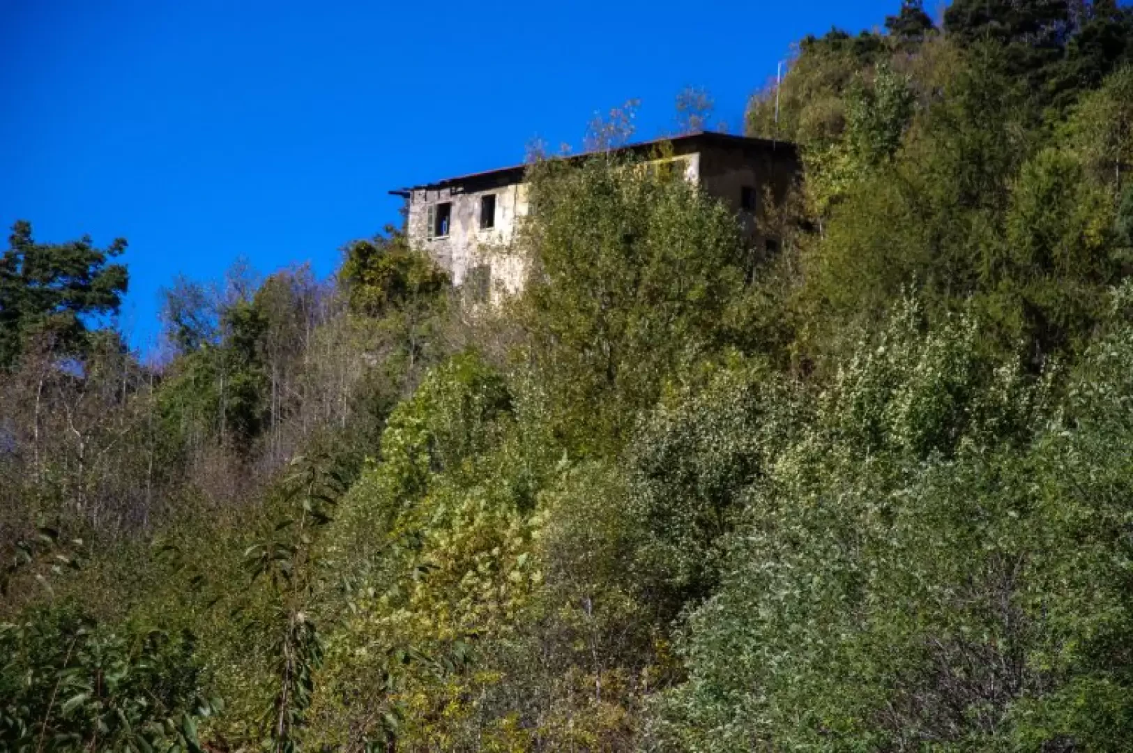
From the square in front of the church in Baruffini (800m), following the 'Sentiero del Contrabbando' (smuggling path), go up steep lanes among the houses and vineyards until you reach the Case Alte district, at a paved road that crosses the hamlet in an east-west direction. In a few steps, you reach a hairpin bend where the carriage road for Piazzo branches off: follow it until you come to the turnoff to Sass dal Gall on the right. This is a military adaptation of the old road to the Bernina Pass and is currently a good grassy cart track. After passing a memorial stone in memory of a smuggler killed by the Guardia di Finanza and a votive chapel overlooking Tirano, you change direction and enter the groove of the Val Poschiavo. We proceed for a long time, alternating between steep climbs and stretches of false ground, and pass the pastureland of Refreggio (1057m) (a tegia, an ancient domed construction built with stones without the use of binders, can be seen among the huts). Ignoring the signs suggesting a detour to the right, the route proceeds along steep cobblestones until it reaches the visible ruins of the GDF barracks at Sass dal Gall (the building was decommissioned in 1987, after having been - most recently - a training centre for drug-sniffing dogs and the first destination for financiers from the Alpine School of Predazzo). The route proceeds alongside the Sass dal Gall cliff (1321m) along a small path overgrown with brushwood that reaches the meadowy basin of Palü (1321m) on Swiss territory; one should continue on the cart track that lies at the top of the meadows, but it is very convenient to continue for a few minutes northwards to the first houses of Pradel (1381m), where an exceptional panorama opens up over the peaks of the Bernina group. Back in Palü, follow the aforementioned cart-track back towards Italy in the direction of "Prà Baruzzo": ignoring the paths downstream at the Papi hut and two other detours to the right, climb up the path to Pradentia. It is a steep path through a mixed coniferous forest, with the ground and all the scattered boulders covered in a thick mossy cover; gradually the tree vegetation thins out and, past an area with evident remains of ancient fires, we reach the vast Pradentia pastureland (1553m). A military track passes in front of the hut (or post ruins?), which we follow downhill to the right: after a few sharp bends, a traverse leads to a wide bend in a forest track. We find ourselves near Prà Zarè (1435m) and continue uphill until we reach an asphalted carriageway: this is Prà Baruzzo 1395m, along the access road to Prà Campo da Baruffini (old military track for Monte Masuccio and the structures of the Cadorna Line). We continue downhill to the right for a few hundred metres until we come to the detachment of a military track, at a notice board with the layout of the Sentiero Italia (Italian Path); we follow this new path up and down for a long stretch and, just before Alpe Ghiaccia, we take a military mule track - signs for Prà Fontana - that descends very steeply into the woods. The regular hairpin bends follow one another numerous and unevenly until reaching the clearing of Prà Fontana (1247m). From here, the mule track, which has been readapted as a forest track, returns to the carriage road coming from Baruffini: the precise indications allow the route to be shortened along conspicuous stretches of mule track as a short cut. The route - a very steep cobbled track - passes the contrada Mulini and soon returns to the houses of Baruffini, not far from the parish church.
Galleria fotografica