Salirod, from Cillian
Access
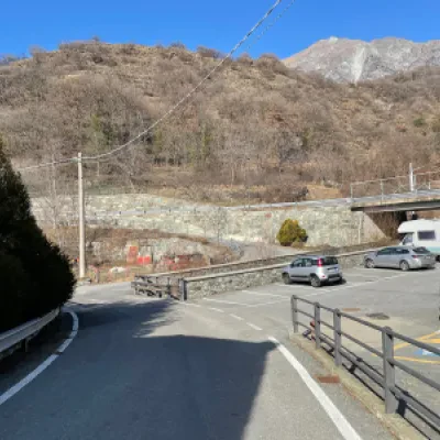
From the Châtillon-Saint-Vincent motorway exit, turn right and follow the signs for Saint-Vincent. Continue for about 500 metres to the first traffic light and continue straight on towards the town centre. Once inside the town of Saint-Vincent, proceed along the main road until the roundabout in front of the Casino de la Vallée. Take the second exit, taking Via Marconi, which is on the left of the direction of arrival. Go all the way down Via Marconi, then continue along Via Roma until you reach Piazza XXVIII Aprile. At the roundabout, take the second exit onto Via Ponte Romano. Continue along Via Ponte Romano for about 400 metres and, at a service station, turn left onto the regional road for Emarèse. Follow the regional road for about 500 metres and, just before a bridge, turn right onto a small road that leads to the hamlet's car park 🅿️, which is free.
[0h09'] - [4.1km]
How to get there with GMAPS
How to get there with Apple Maps
The directions provided have been carefully checked as of the date the route was taken. However, it is highly recommended to check for any changes that may have occurred since then, especially regarding the route to the starting point. Before embarking on your journey, it is advisable to consult up-to-date navigation tools for accurate and up-to-date directions. We recommend the use of satellite navigation apps, such as Google Maps or Apple Maps, to ensure the most accurate and safe route.
Introduction
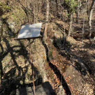
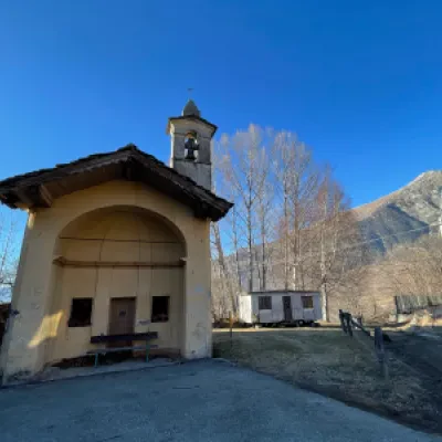
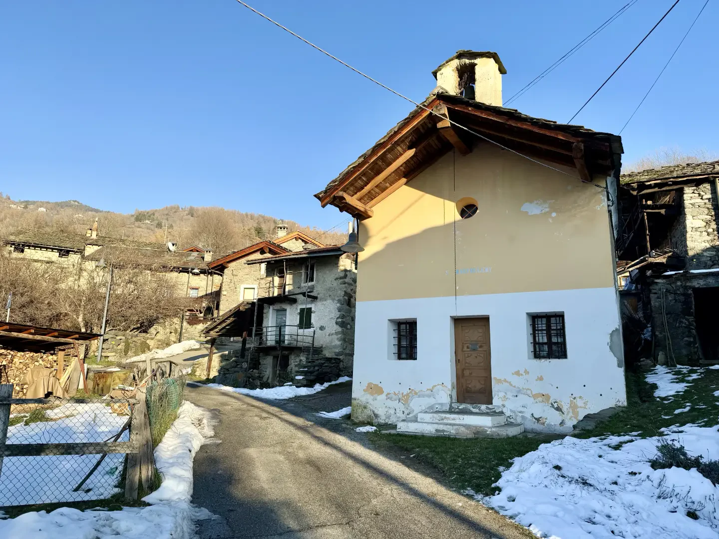
The hiking itinerary from Cillian to Salirod offers an immersion in the most evocative landscapes of the middle Aosta Valley, combining the charm of nature with a minor but no less fascinating historical and religious heritage. The route crosses small villages and centuries-old woods, allowing you to discover points of interest that tell stories of faith, tradition and popular art. Starting from the Santi Innocenti chapel in Cillian, a structure embellished with frescoes and unique architectural details, you gradually ascend through quiet lanes and paths immersed in vegetation. Along the way, fountains, signposts and artistic installations enrich the experience, such as the lectern with musical score from Giuliana Cunéaz's Silenzio delle Fate, a tribute to the beauty and mystery of the forest. The villages of Valère and Linty, with their old buildings and votive chapels, offer glimpses of a rural past that blends in perfectly with the surrounding nature. The chapel of the Visitation of the Virgin Mary in Linty, with its intimate and picturesque character, deserves a short diversions for a moment of contemplation.The route ends in Salirod, where stands the pretty chapel dedicated to St Bartholomew, an example of local religious architecture that testifies to the community's deep devotion. This itinerary, of moderate difficulty, is suitable for hikers of all levels and offers a privileged view of Mont Zerbion and the central valley, turning each step into an opportunity to appreciate the cultural and scenic richness of the region.
.Description
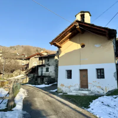
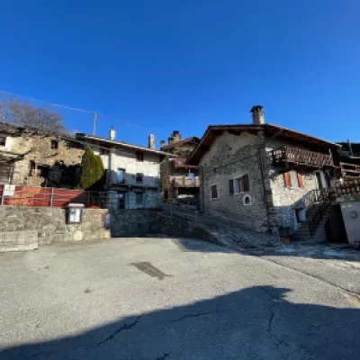
0h00' 0,00km Leave the car park, turn left onto the small communal road which runs alongside the chapel dedicated to the Santi Innocenti (there is a fountain 💧 a few metres away on the right), cross the regional road shortly afterwards and follow the regional road for a short distance until you reach a fork in the road.
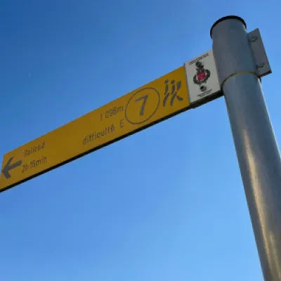
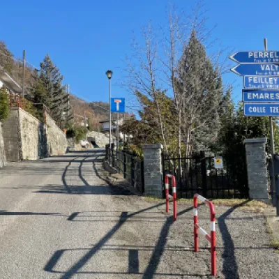
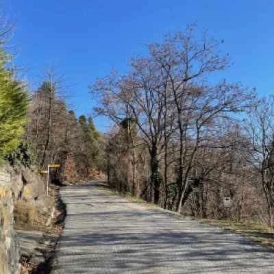
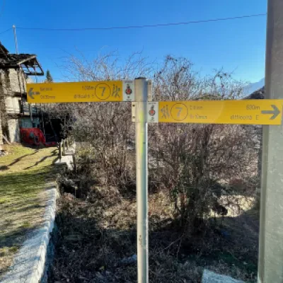
0h02' 0.11km Take the small road to the left following the signs for Perrelaz and Valère, walk up the moderate incline until you reach a clearing, continue straight ahead until you come to a marker indicating the junction with path for Moron coming from Chadel.
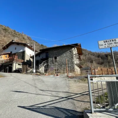
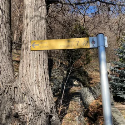
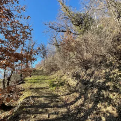
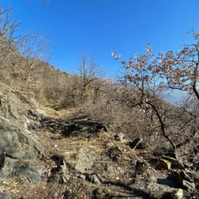
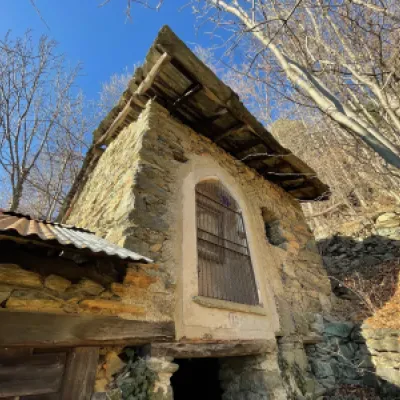
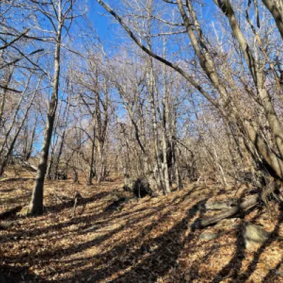
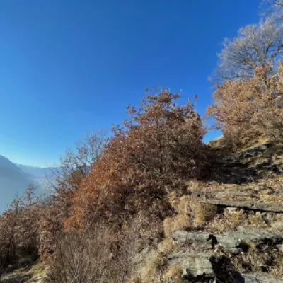
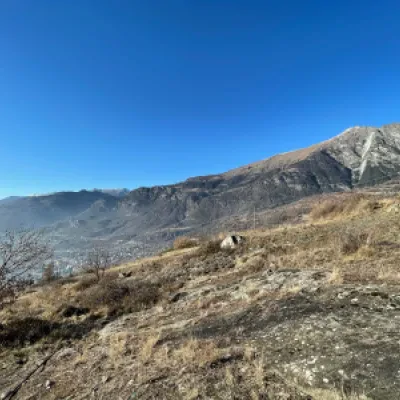
0h05' 0.29km Continue straight on and, after two hairpin bends, reach the small village of Valyre (685m), nestled in an oak forest (Quercus pubescens). Leave the tarmac road near a signpost and take the path that climbs the wooded slope in a series of short turns, allowing you to gain altitude quickly. Walk a short straight stretch until you reach a small stream, next to which is a music stand with a musical score, now worn out by time: this is Giuliana Cunéaz's art installation, Il Silenzio delle Fate, installed in 1990. Turn left towards a hamlet in the woods; make a short diversions to admire a niche with a collar dated 1907 and a pointed arch, inside which is a painting of the Holy Family. In the village, to the north-east, observe a private oratory, recently repainted and renovated, with the inscription "O Marie conçue sans péché priez pour nous" and the date 18+76 on the iron gate. Return to the path and continue through the forest, now mainly chestnut (Castanea sativa). Pay attention to the path, which in places, amidst the foliage, may be barely visible but nevertheless intuitable. Continue until the forest slopes down; after a turn to the left, exit onto the pastureland, from where there is a beautiful panorama of the central valley and Mont Zerbion.
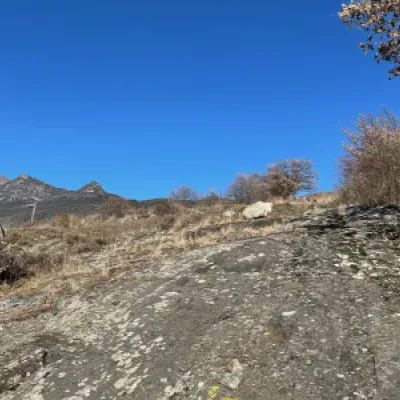
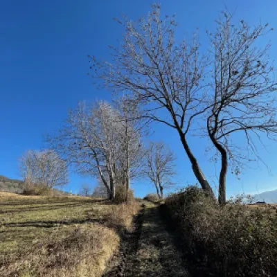
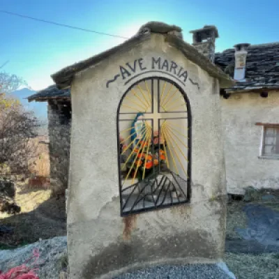
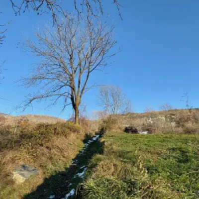
Turn right, cross a plate of mounded rock and enter a path lined with trees, which soon leads to the pastureland. Follow a farm track until you reach the first houses of Linty and the tarmac road. Make a short diversions to the left to visit the chapel dedicated to the Visitation of Our Lady. Return to the asphalted road, continue to the right, pass a marker post and a votive shrine, and reach the square in front of the village of Linty (980 m).
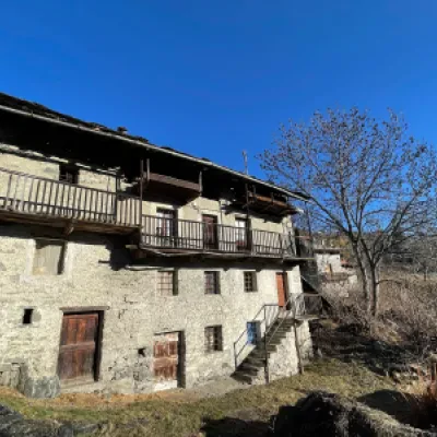
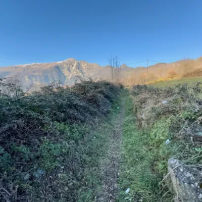
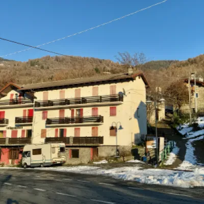
Turn left at a fountain 💧 and take the path that, after an initial steep section, leads down to the pastures. Turn left and follow the path, lined with low walls, which in a few minutes leads to the regional road . Cross the road and climb up a small road with steps until reaching the small road of the village of Salirod and the pretty chapel dedicated to St. Bartholomew (1102m) 1h30' 2.48km .
Return by retracing the same route followed during the ascent 0h45' 2.48km .
Points of Interest
- Cillian
- Chapel of the Holy Innocents at Cillian
- Valere
- Linty
- Chapel-of-visitation-of-the-Madonna-to-Linty
- Salirod
- Chapel-of-st. Bartholomew-a-salirod
Collections
- hikes starting Cillian - on the map
- hiking to the villages of Saint-Vincent - on the map
- hiking to villages in the middle Aosta Valley - on the map
- hiking to villages in the Aosta Valley - on the map
- excursions to Saint-Vincent - on the map
- hiking in the mid-Aosta Valley - on the map
- hiking in the Aosta Valley - on the map
