Ru de la Plaine, from Châtillon


Edited by:
Massimo Martini
Updated at: 04/05/2025
Access
From the motorway exit [A5] of Châtillon/Saint-Vincent turn left and drive up the main road to a roundabout, take the first exit and park your car near the Casa dell'Acqua (no paying car park).
Introduction
A pleasant route free of all difficulties along the historic Ru de la Plaine, enfeoffed in 1325, which takes the waters of Valtournenche to the heights of Châtillon and Saint-Vincent. This itinerary is a section of the Aosta Valley's Via Francigena. The itinerary is very easy, very popular and can be undertaken or finished at various points. The report describes the section from the centre of Châtillon to the Roman Bridge in Saint-Vincent for one-way use.
Description
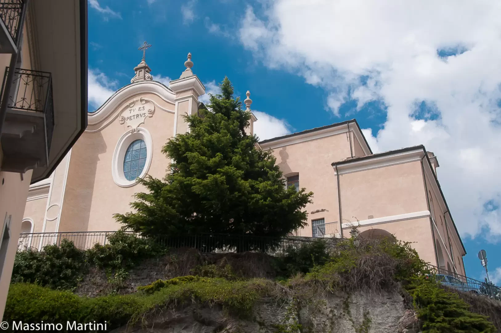
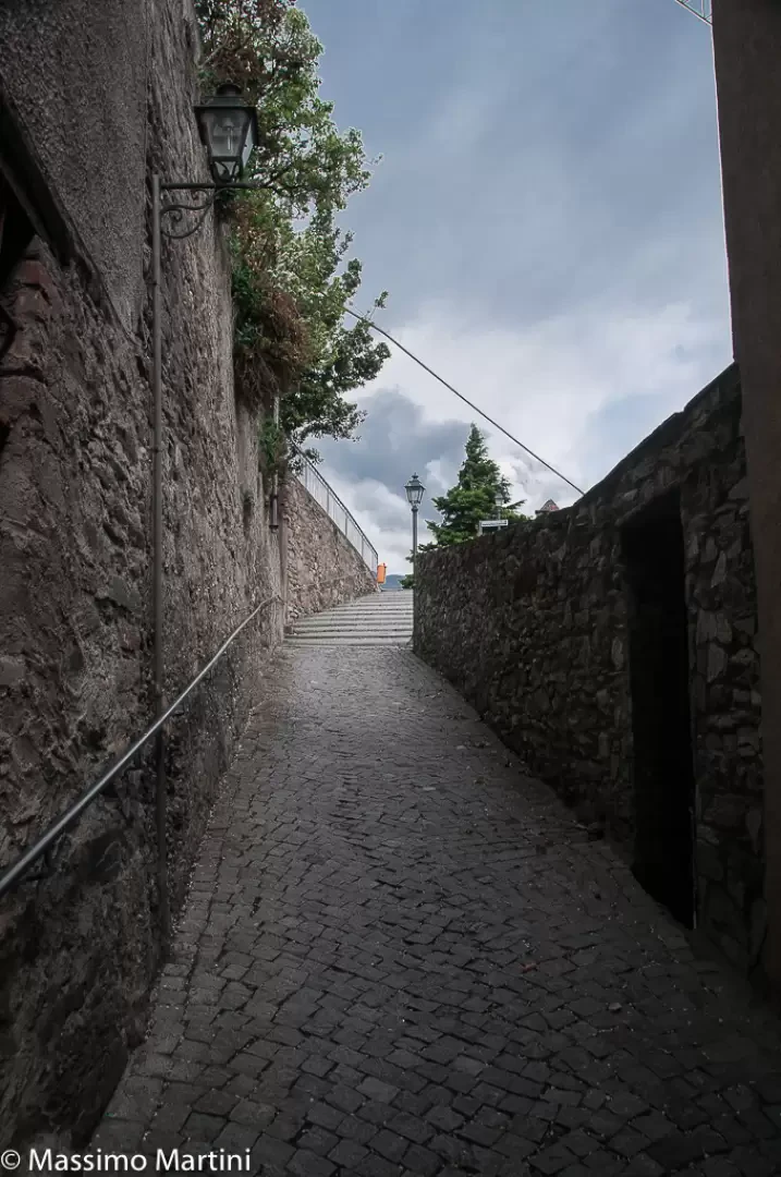
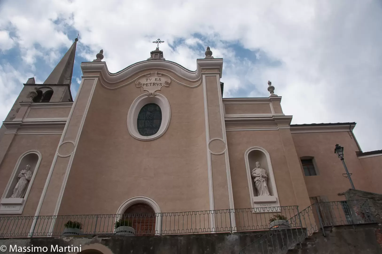
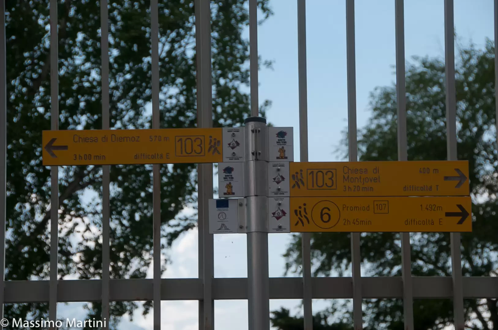
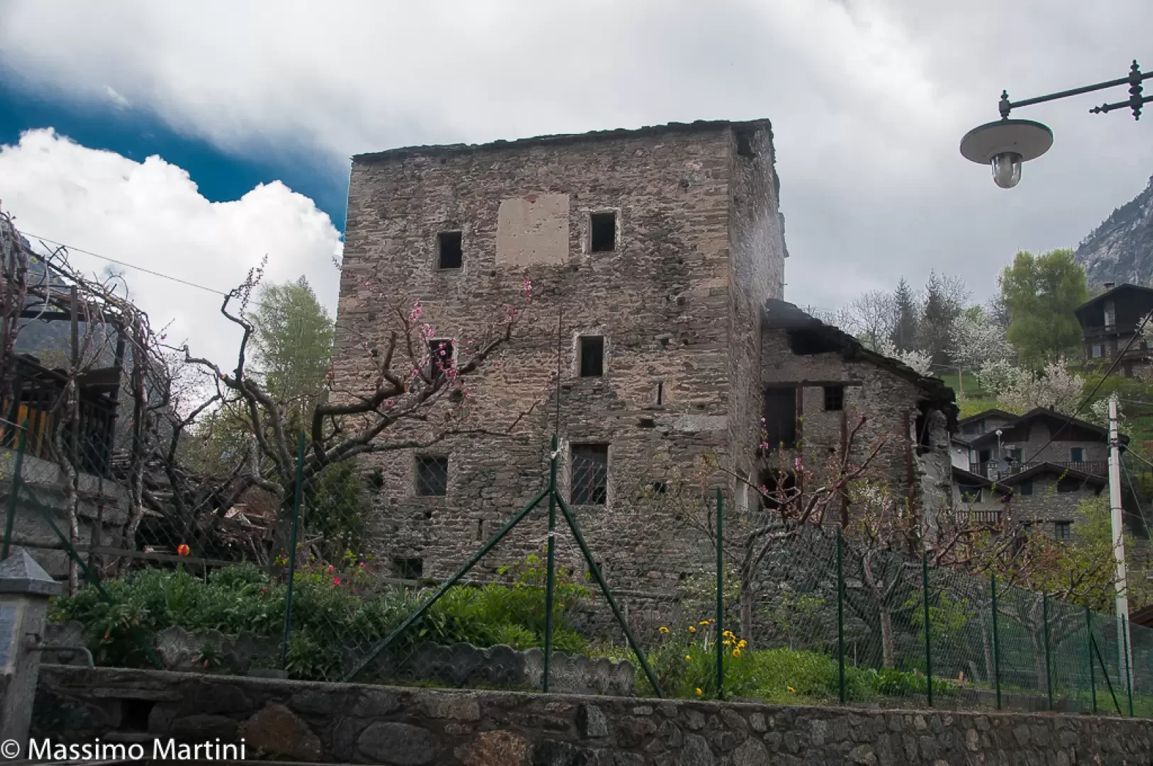
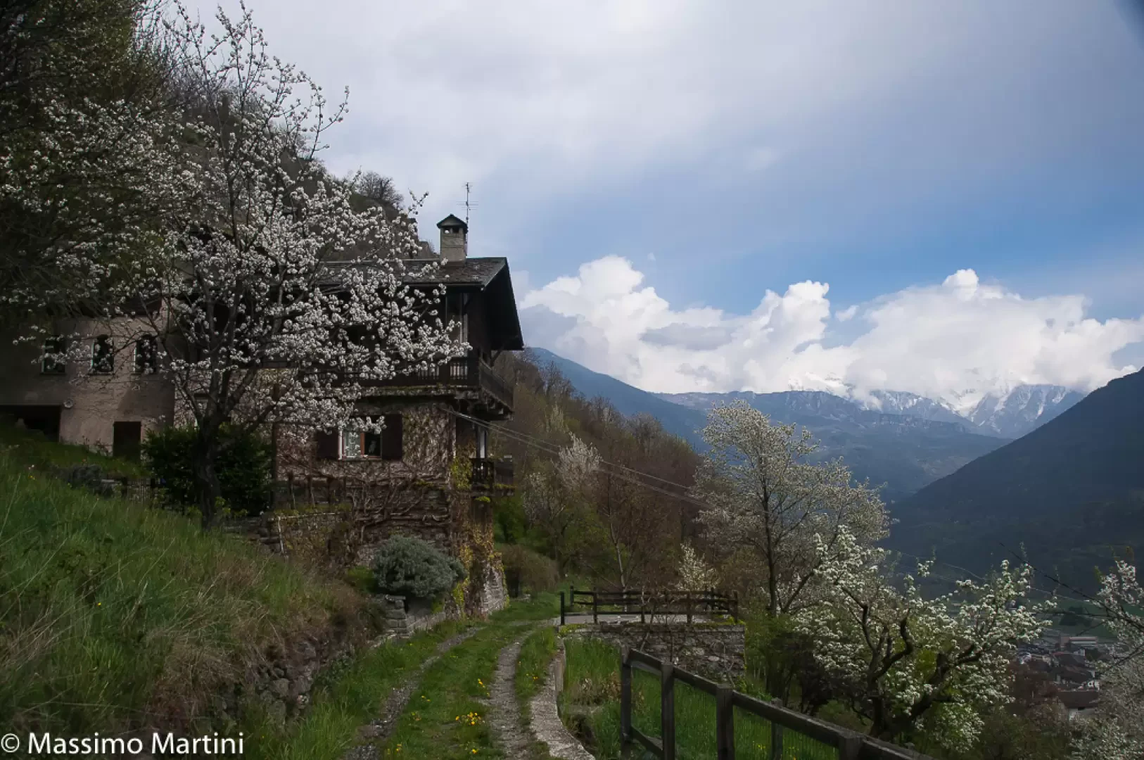
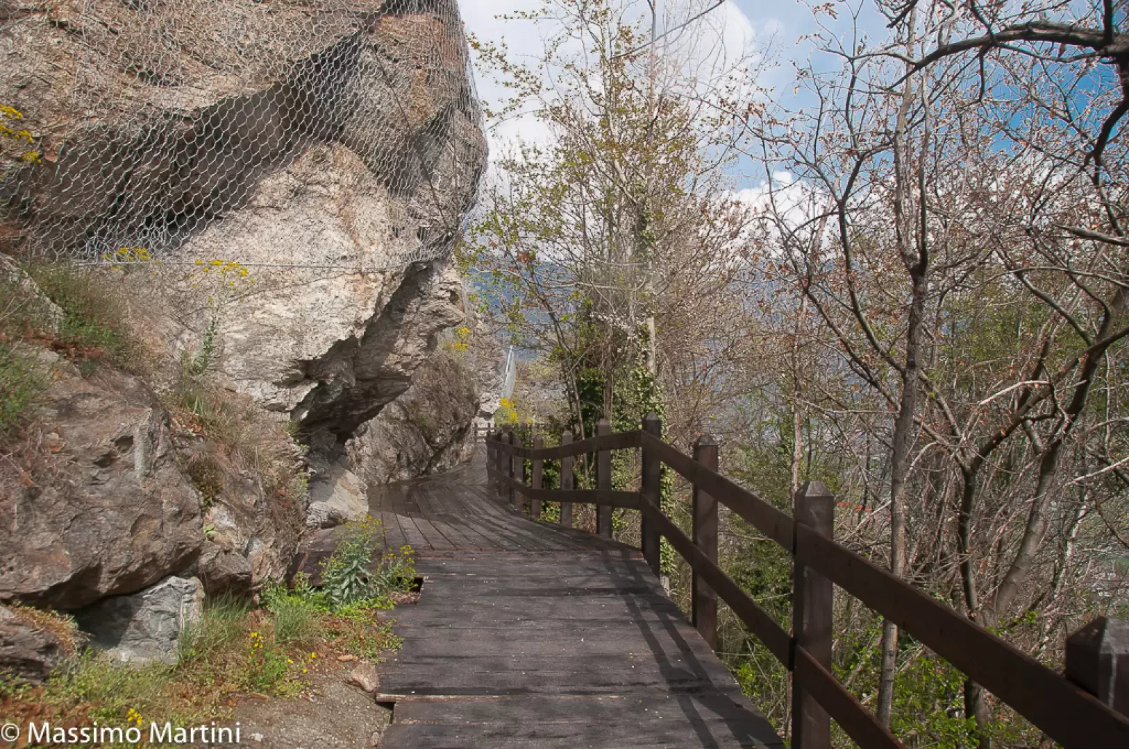
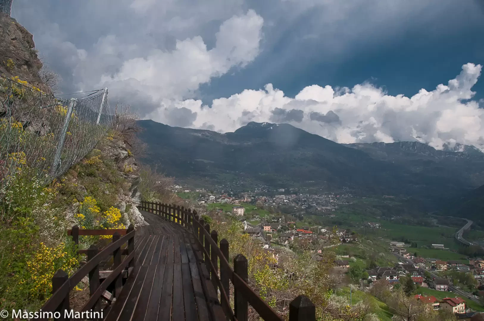
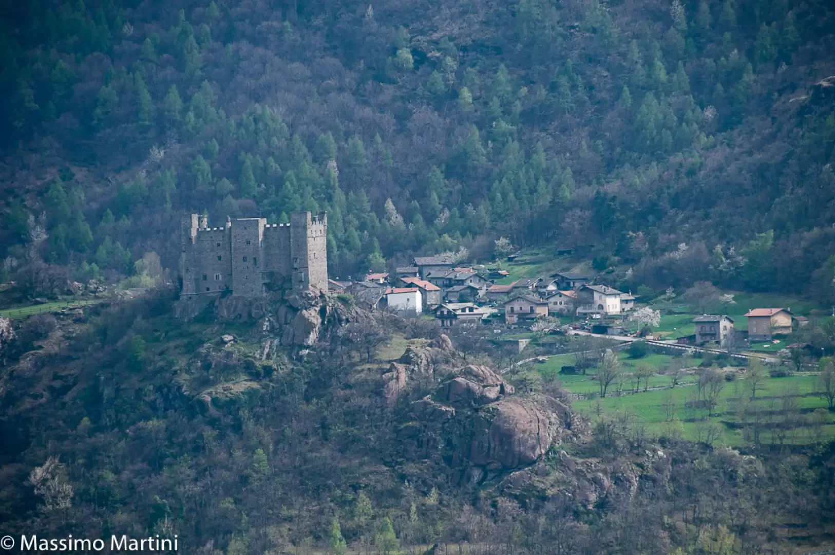
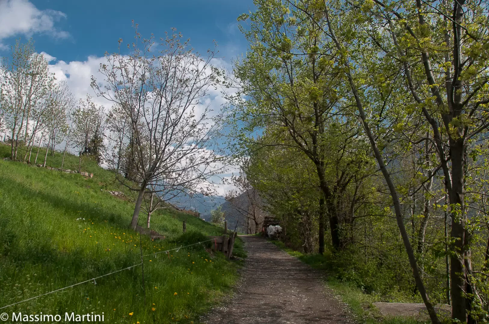
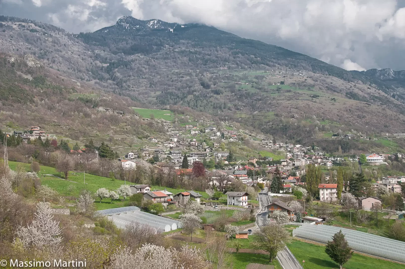
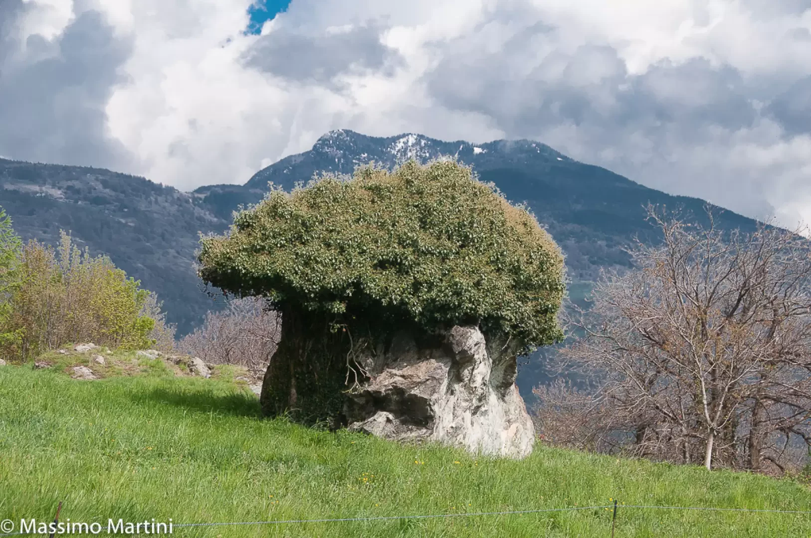
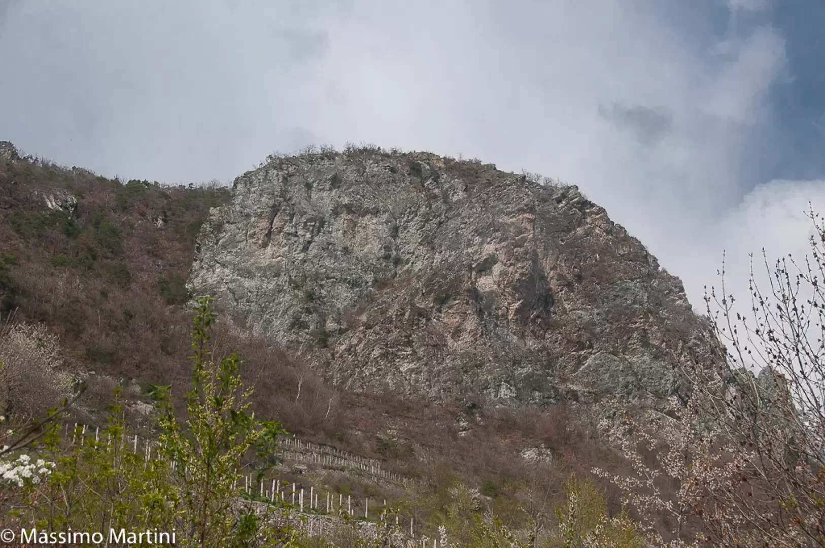
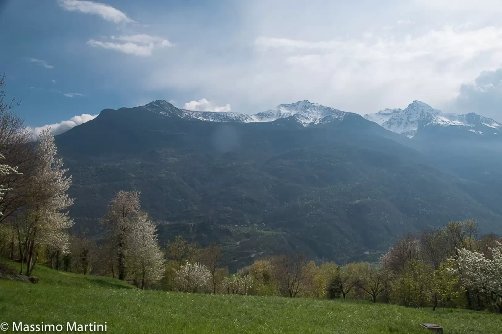
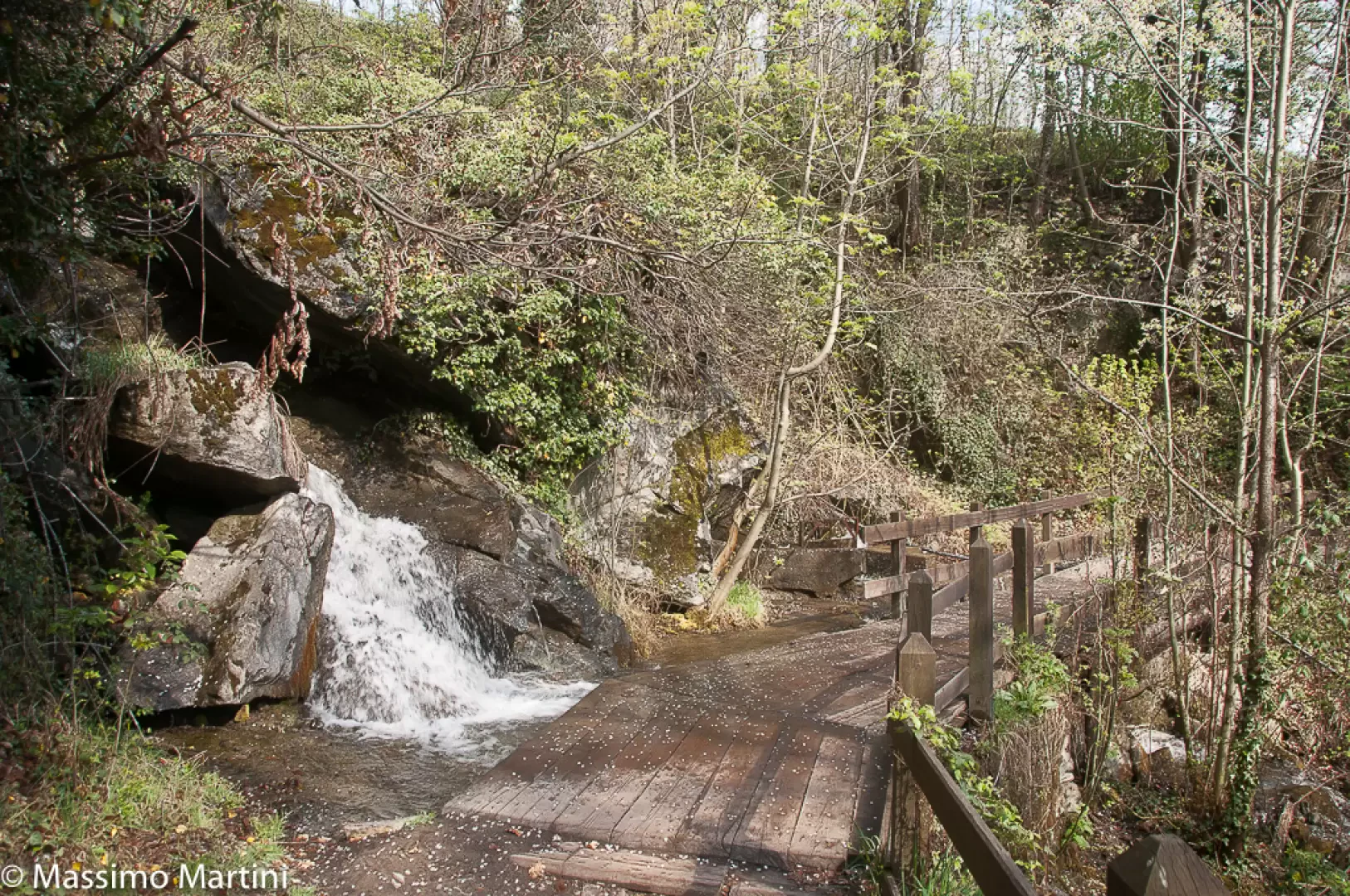
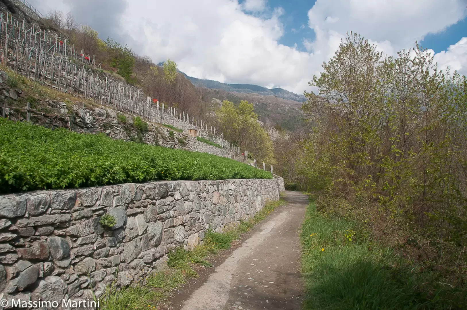
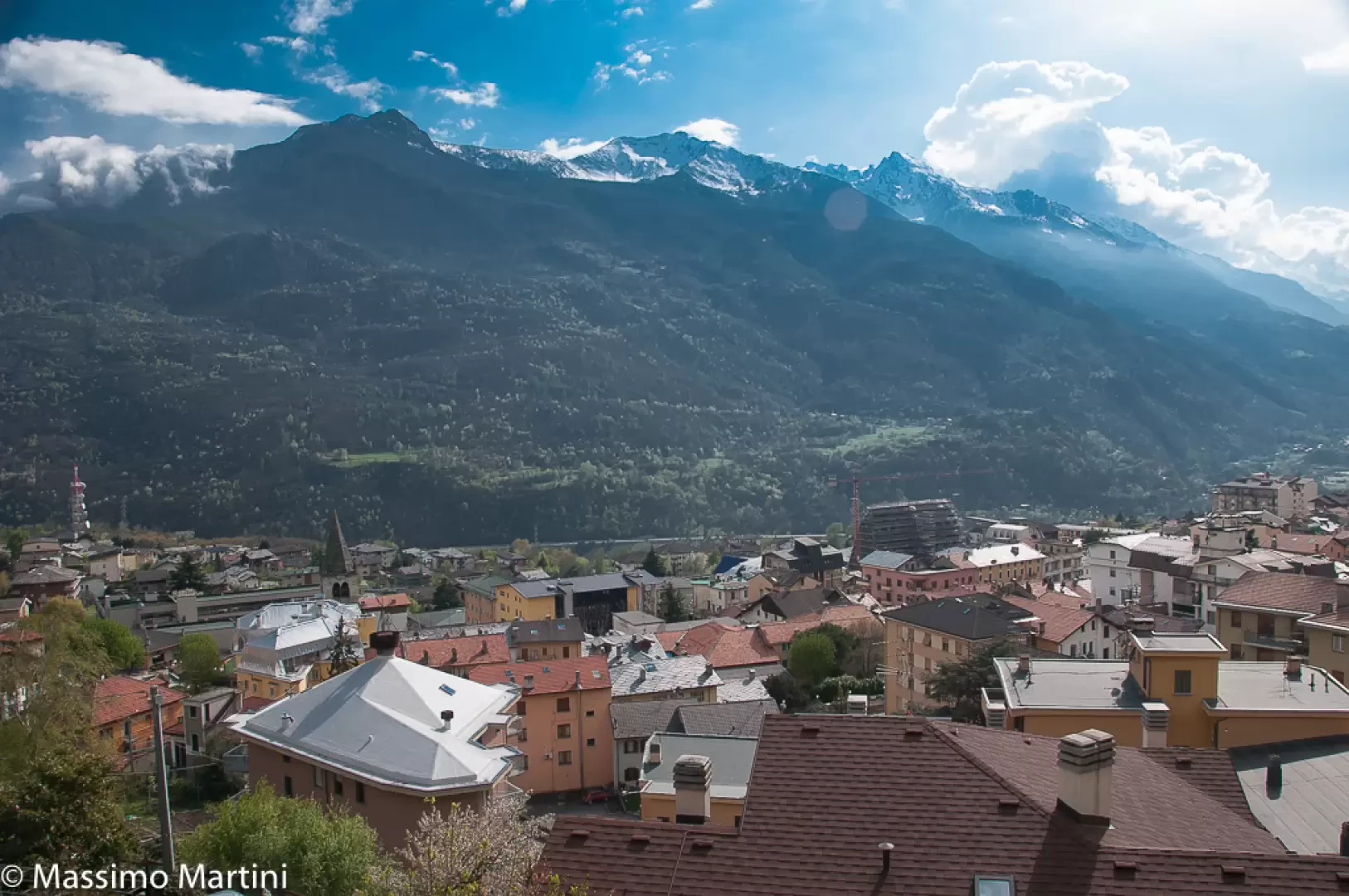
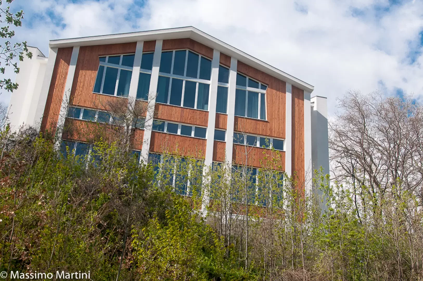
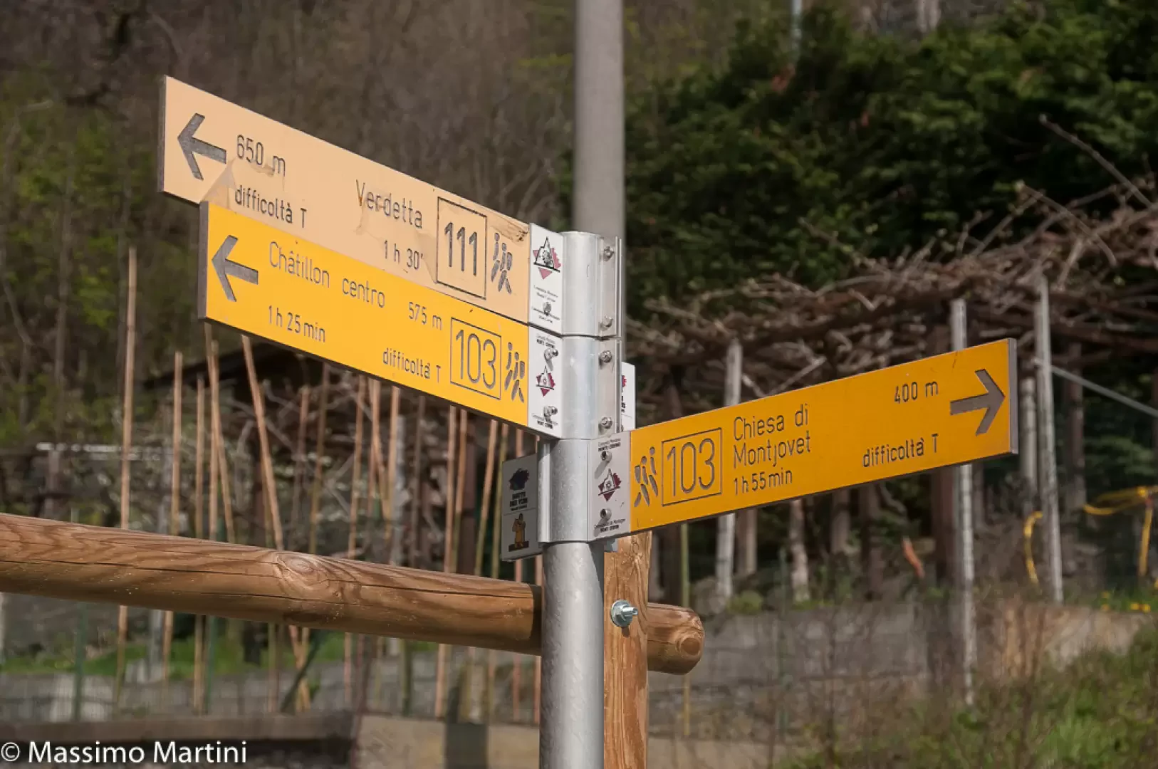
Leaving the car, proceed back to the roundabout to climb Via E.Chanoux until you reach Piazza Duc, where you can already make out the imposing parish church dedicated to St Peter and St Paul. Continue for a few dozen metres until you meet, on the right, an alley anticipated by a signpost. Go up the cobbled lane until you reach the square in front of the parish church, which is worth a brief visit. Continue along the little road that leads to the Old Cemetery, skirting the Passerin d'Entrèves Castle Park before taking a path on the right that soon leads to the outskirts of the village of Conoz. Abandon the path and continue along a small road that reaches the village's central square and then continue through the oldest part of the village up the Conoz municipal road. When you reach the last houses, you will find a small path on the right that quickly leads to the village of VerdettaTurn right onto a path that in a few minutes leads to the village of Conoz, which is crossed by following the main road. Still climbing, the only uphill section of the itinerary, you reach the entrance to a little path that veers to the right and leads to the village of La Verdetta above, where you turn right following the signs for path while ignoring the path to Promiod, which continues straight ahead. Continue on the almost level path, which shortly afterwards receives the path bordering the Ru de la Plaine. Continue on the beautiful path, recently renovated, as suggestive glimpses open up of the two towns connected by the path. Past the section carved into the rocks, you enter a more rural area rich in vegetable gardens just above the village of Merlin. Now continue on a cart track, leaving a curious boulder overhung by vegetation to the left, and after crossing a short wooded strip, you join the communal road to Isseuries, which you follow until you reach the village of La Sounère. You cross a road and continue ahead on a dirt track that then becomes paved again on the section crossing the village of Pissin dessus. At the end of the road, you take the path again, always on the level and a pleasant stretch where the vegetation opens up at times with interesting views of Saint-Vincent. You skirt some vineyards and reach a small bridge that allows you to cross the Biègne stream and a little further on, you cross the fields above the village of Crovion. In the distance, on the right, your gaze wanders over the spires of the Grand Hotel Billia and the structures of the Casino de la Vallée before crossing the Grand-Valley stream on a wide bridge. Now entering the village of Saint-Vincent, the dirt road becomes paved as you pass through the village of Ecrevin before joining the regional road to Col de Joux. Continue on the pavement before reaching a signpost inviting you to follow an almost parallel little road that soon leads to the crossroads with the lane leading from the village to the thermal spa. You ignore it, proceeding straight ahead on a level path that, with a subway, passes under the panoramic lift (ex-funicular) to the Saint-Vincent thermal baths. Continue along the ru, now finally with the water flowing under the open sky, passing under the thermal establishment before reaching Via Battaglione Aosta (explanatory panel). Descend the street briefly and then turn left onto a small road that soon leads to the regional road to Emarèse. Follow it as far as the village of Cillian where, at the height of the characteristic chapel, turn right and descend along the path to the Roman bridge.
Photo gallery
Comments (0)
Sign in to leave a comment