Bank of Ger


Edited by:
Massimo Martini
Updated at: 08/03/2025
Access
At the Ivrea exit of the A5 motorway, head towards the city centre; after Ivrea, follow the SS 228 towards Viverone. Near Bollengo you turn left following the signs for Biella. You cross the Serra until you reach Zubiena: continue to Filippi where you turn right until you reach Vermogno. After passing the small village, you will reach a car park along the road: turn left and you will eventually reach the Visitors' Centre of the Reserve and the adjacent car park.
Introduction
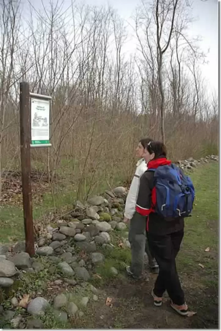
Short but interesting walk within the Bessa Special Nature Reserve. This itinerary is part of a series of signposted routes with explanatory panels useful for understanding this particular environment; the signposting of the "Riva del Ger" trail highlights the flora, vegetation, fauna, agricultural activities and management of the Riseva Naturale.
Description
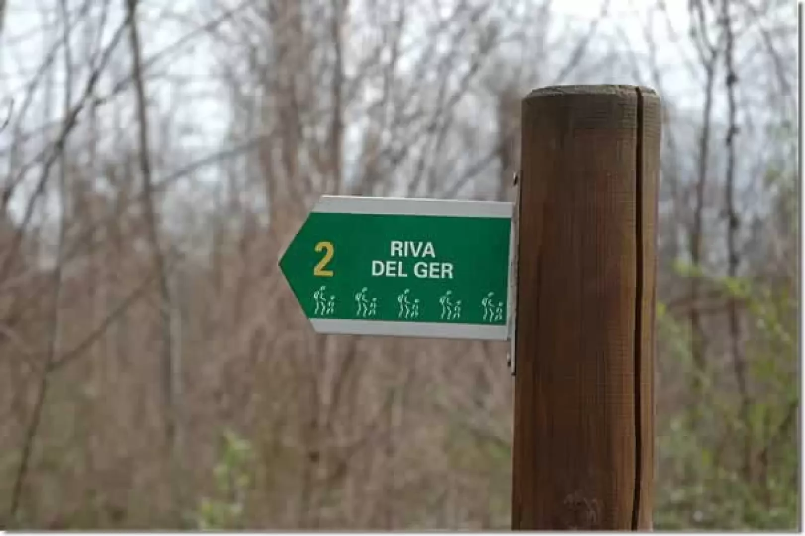
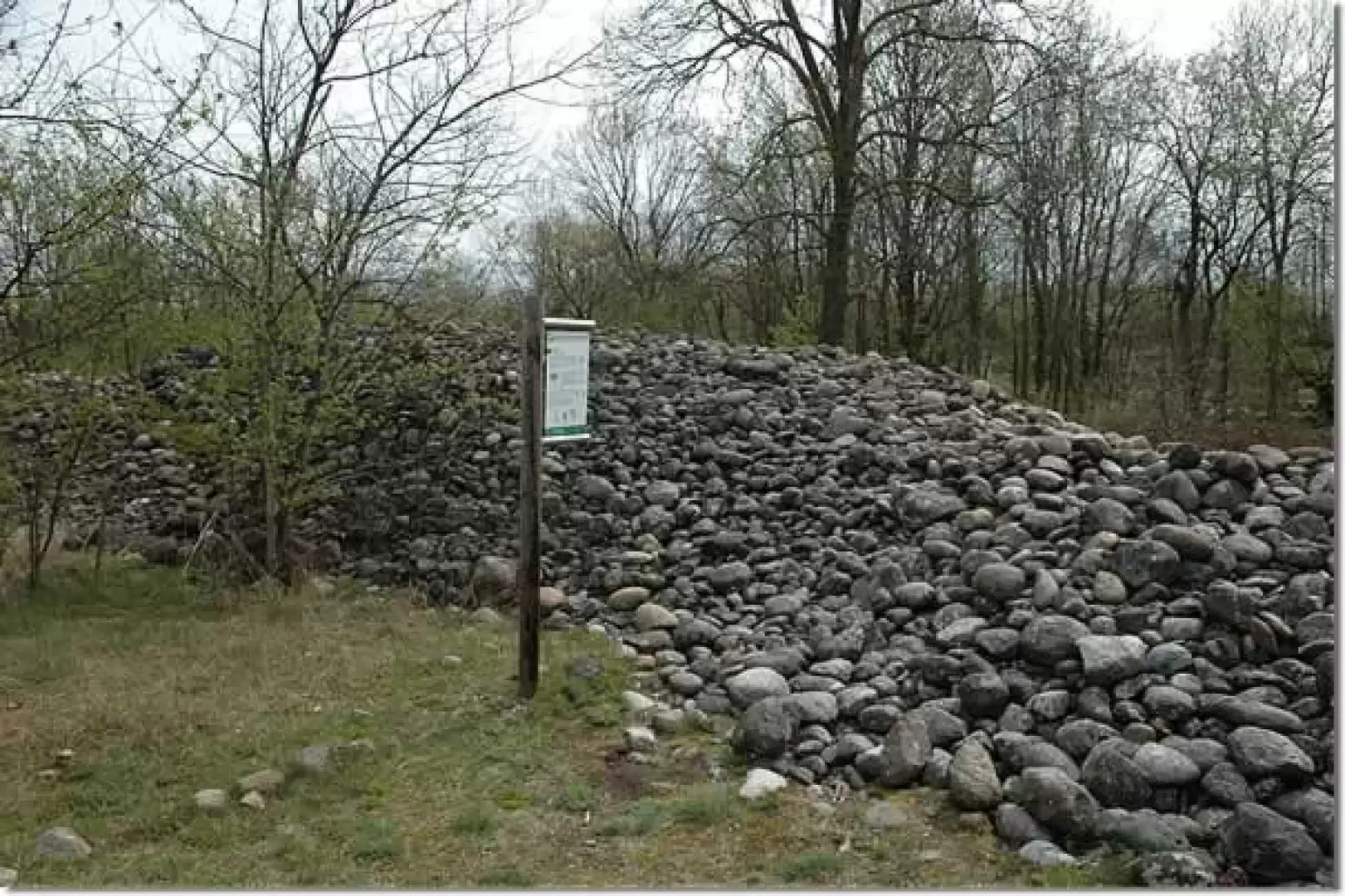
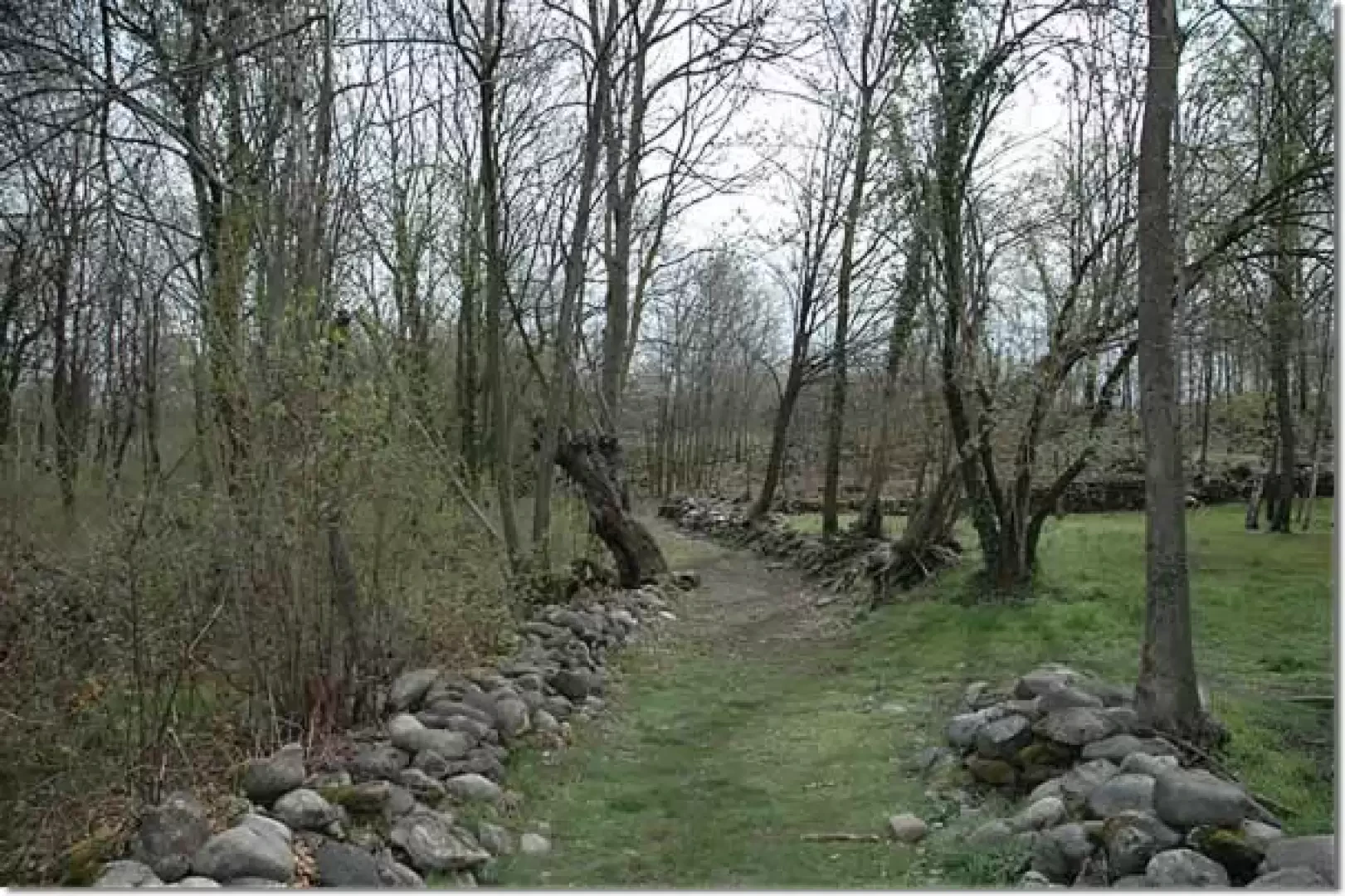
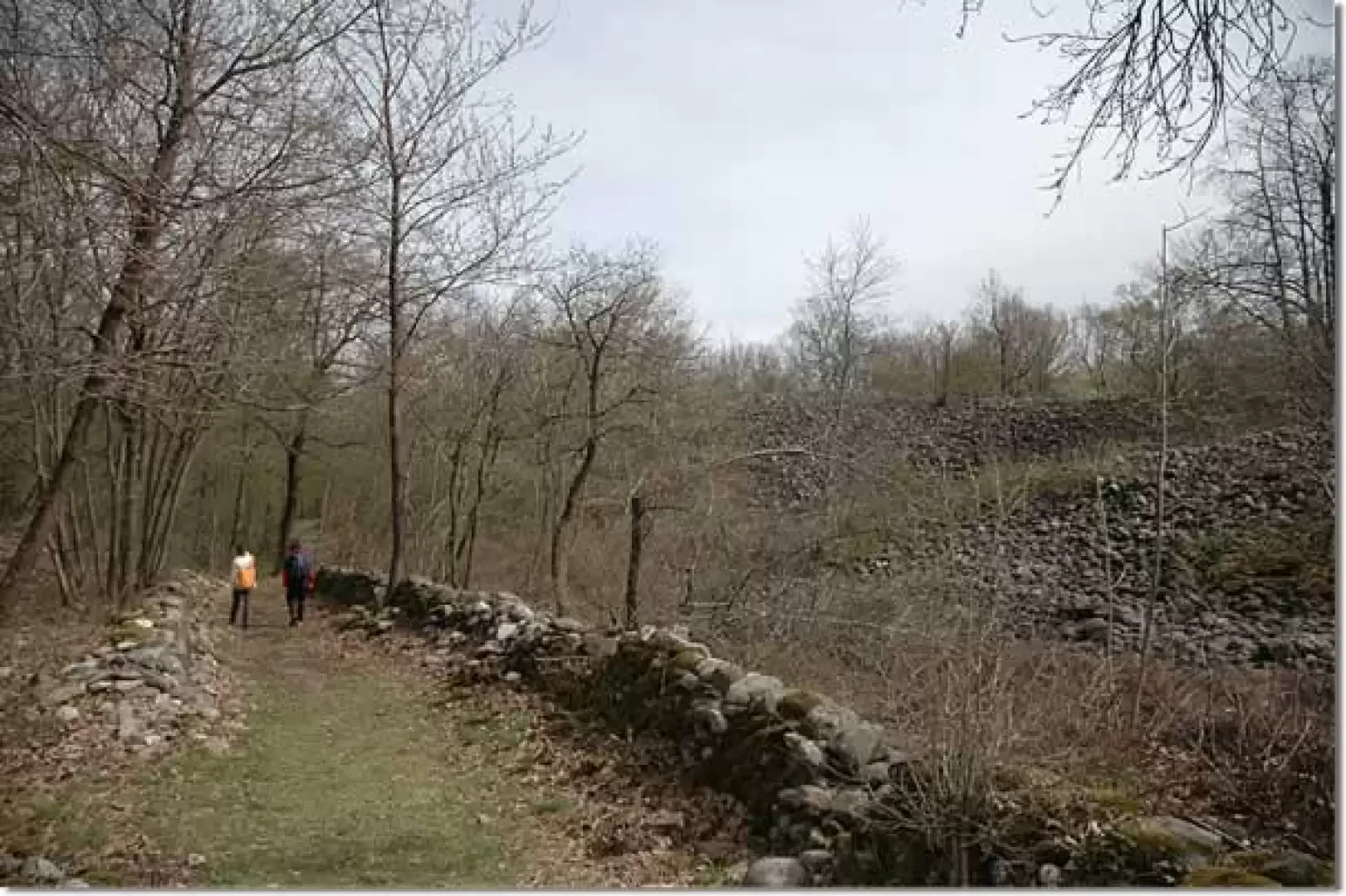
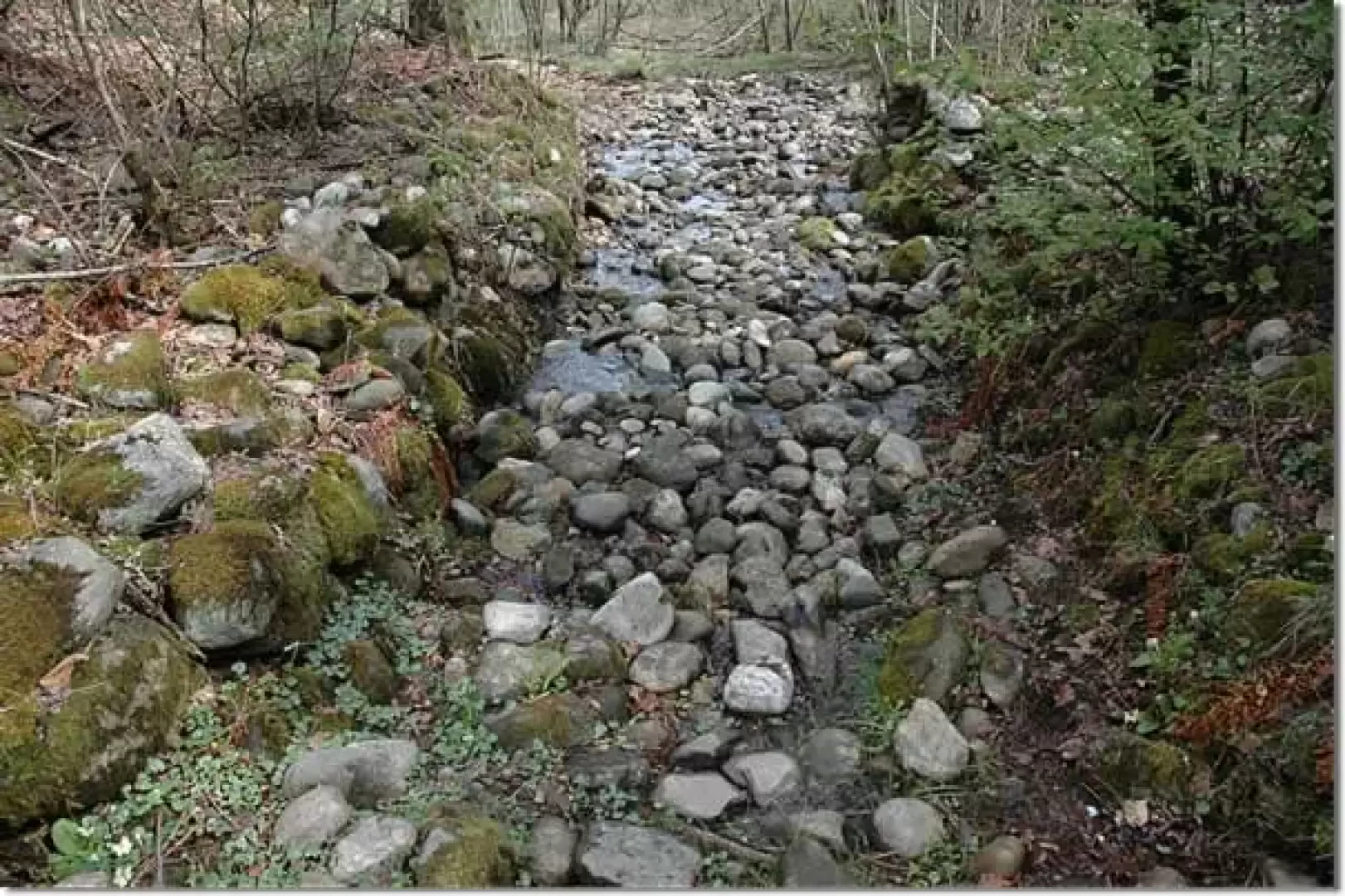
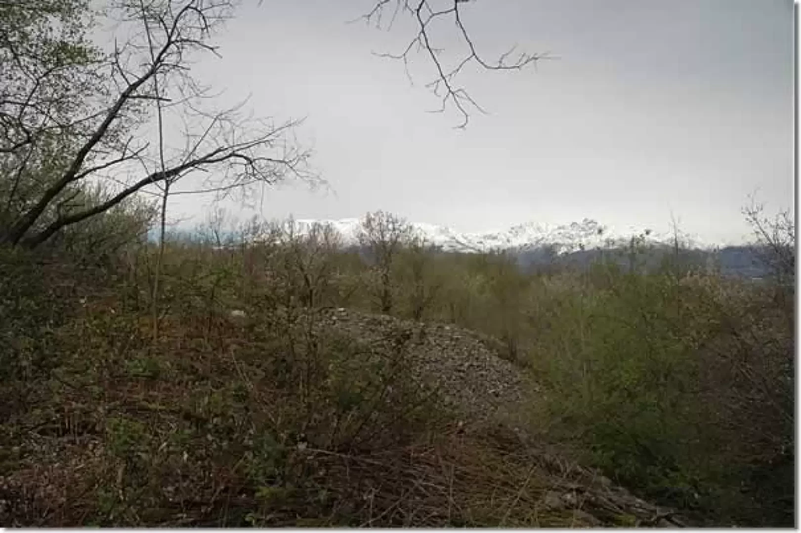
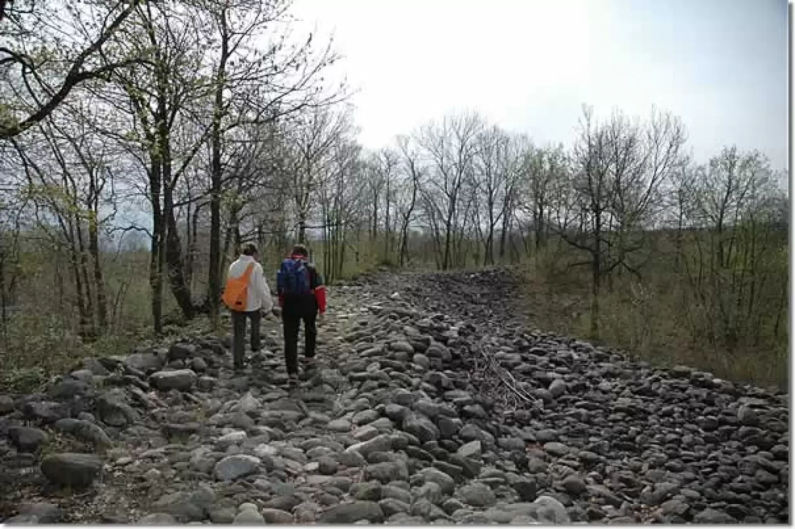
Leaving the car behind, we walk for a few dozen metres along the small road taken by the GTB (Grande Traversata del Biellese), until we come to the first explanatory panel of the Riva del Ger itinerary. We begin the route by following the progressively numbered yellow signs on a green background; after a few minutes, we turn left, approaching the first great peculiarity of this area: the pebbles. We are in fact in the vicinity of what is believed to be a large accumulation basin used by the Roman mine. We continue across a 'strip' of pebbles until we join the path that we will follow on our return. Continue slightly downhill along the clearly marked path, bordered by small stone walls. After about ten minutes, turn left and begin to descend, still skirting the remains of mining activities. We reach the lowest point of the route (324m, 0h25') and turn right up the path, which at this point crosses a section of thicker forest. A few minutes' walk brings us to the Acquarola fountain: a spring of water gushing from the ground right near the path (328m, 0h30'). Leaving the spring, we turn right and begin to climb back up the path, passing along the huge deposits of pebbles - used in mining activities - until we join the path taken on the outward journey. Leaving behind the distant views of the Colma del Mombarone, you are now nearing the end of the itinerary: you reach the large picnic area and finally the car park (360m, 1h00').
It was the indigenous peoples of Celto-Ligurian origin who first discovered discrete quantities of gold in the form of straws within the soil of the Bessa plateau.
When the area was conquered by the Romans (140 B.C.), veritable open-cast mines were planted for gold-seeking (Aurifodinae). And it was precisely this mining activity that disrupted the entire area, giving us a very special landscape and an extremely large and interesting archaeological zone.
The alluvial layer was excavated by separating the gold-bearing sands from the pebbles, which were neatly stacked, in heaps up to 10 metres high, behind the excavation face. In this way, the most characteristic landscape of the Bessa took shape, the area of the pebble mounds (upper terrace of the Bessa).
General information
Signposts: Trail route no. 1 of the Bessa Special Nature Reserve (green signs numbered consecutively)
Type of route: circular
Recommended period: January, February, March, April, May, June, July, August, September, October, November, December
Sun exposure: south
- Vaudagna A., Bessa, Edizioni Leone & Griffa, Ivrea
- Il Biellese Sud-Ovest, Trail map 1:25000, sheet 3, Provincia di Biella, 2004
Photo gallery
Comments (0)
Sign in to leave a comment