Sasso Pelo Ring


Edited by:
Marco Bonati
Updated at: 10/05/2026
Access
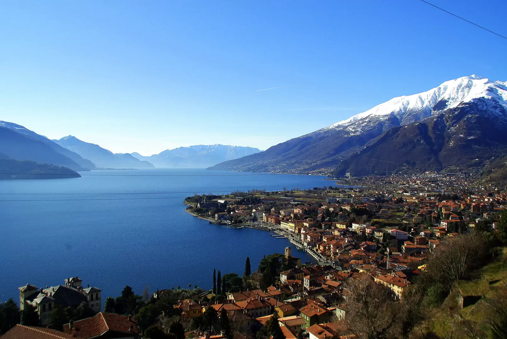
From Como to Gravedona along the statale "Regina"; at the centre of the village turn left towards "Dosso del Liro" and "Livo". Go up scenic hairpin bends on the lake shore through several hamlets of Gravedona. Leaving the junction for Dosso del Liro to the left, you pass between the few houses of Peglio until you find a car park at the isolated little church of Pian dei Gorghigli.
Introduction
Short itinerary which, tracing a section of the fourth stage of the Via dei Monti Lariani, goes around the limestone hillock of Sasso Pelo. Aside from the well-known mountaineering importance of the place (Sasso Pelo crag - medium-high difficulty 6c-8c), the walk is pleasant for the wooded environment and the encounter with well-preserved ancient religious buildings.
Description
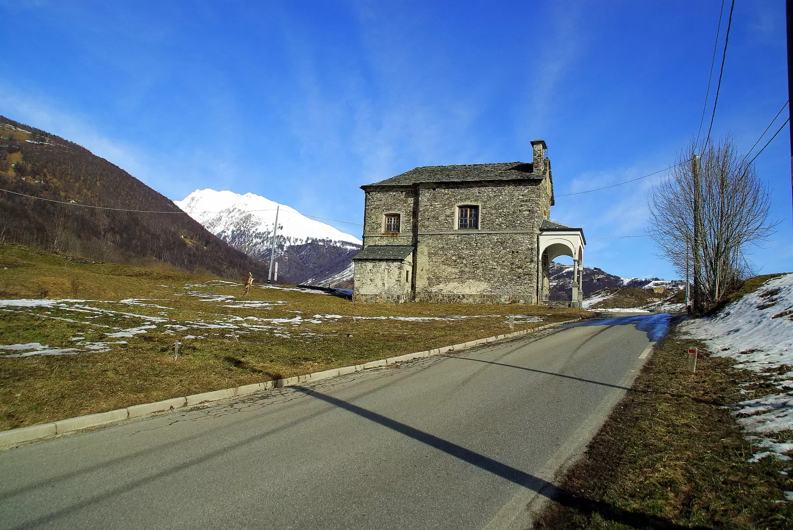
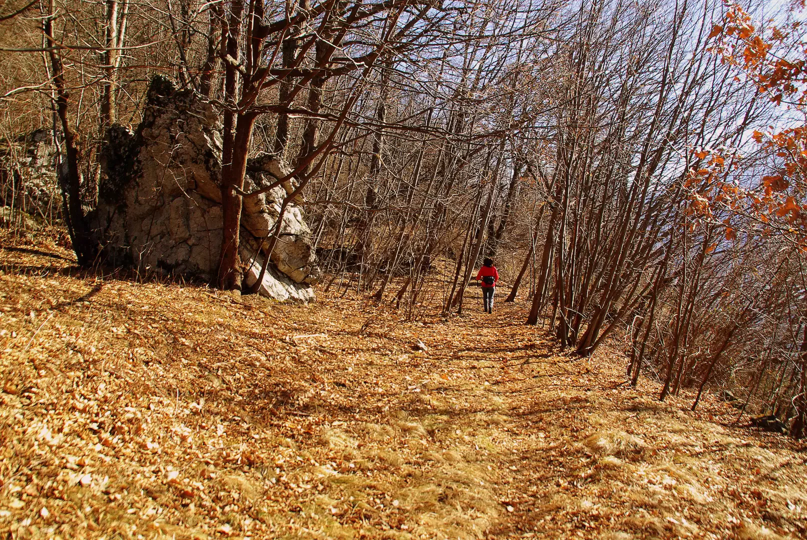
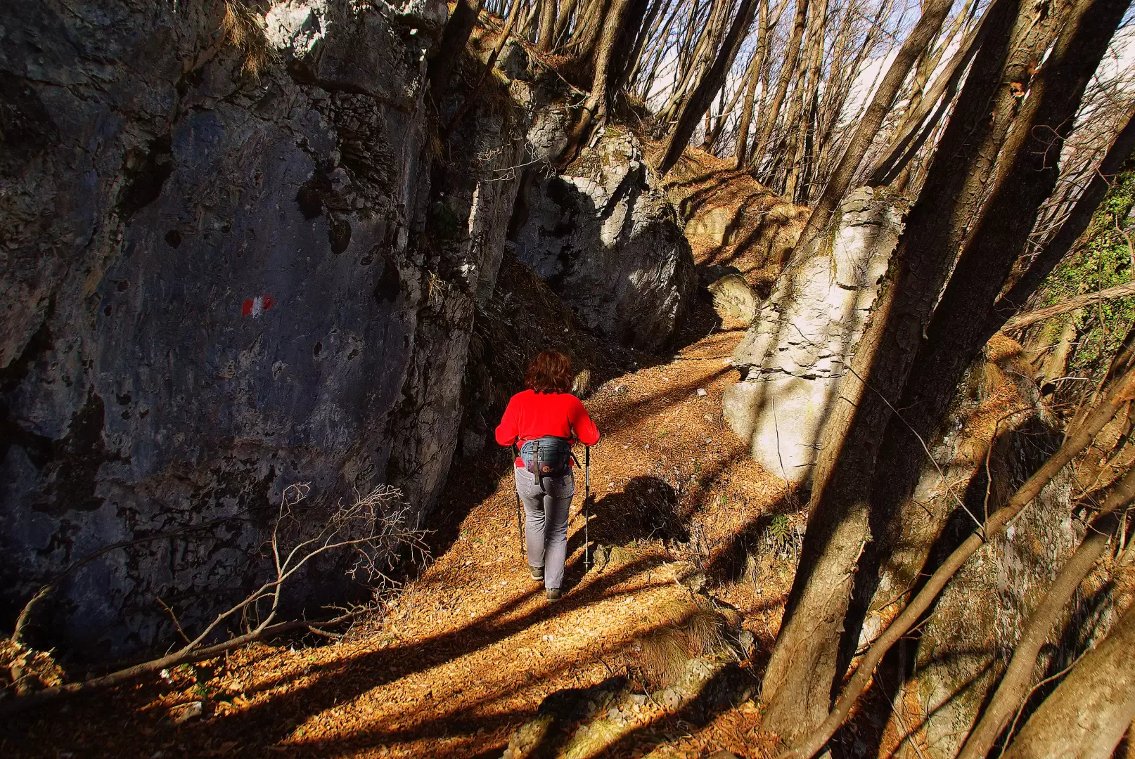
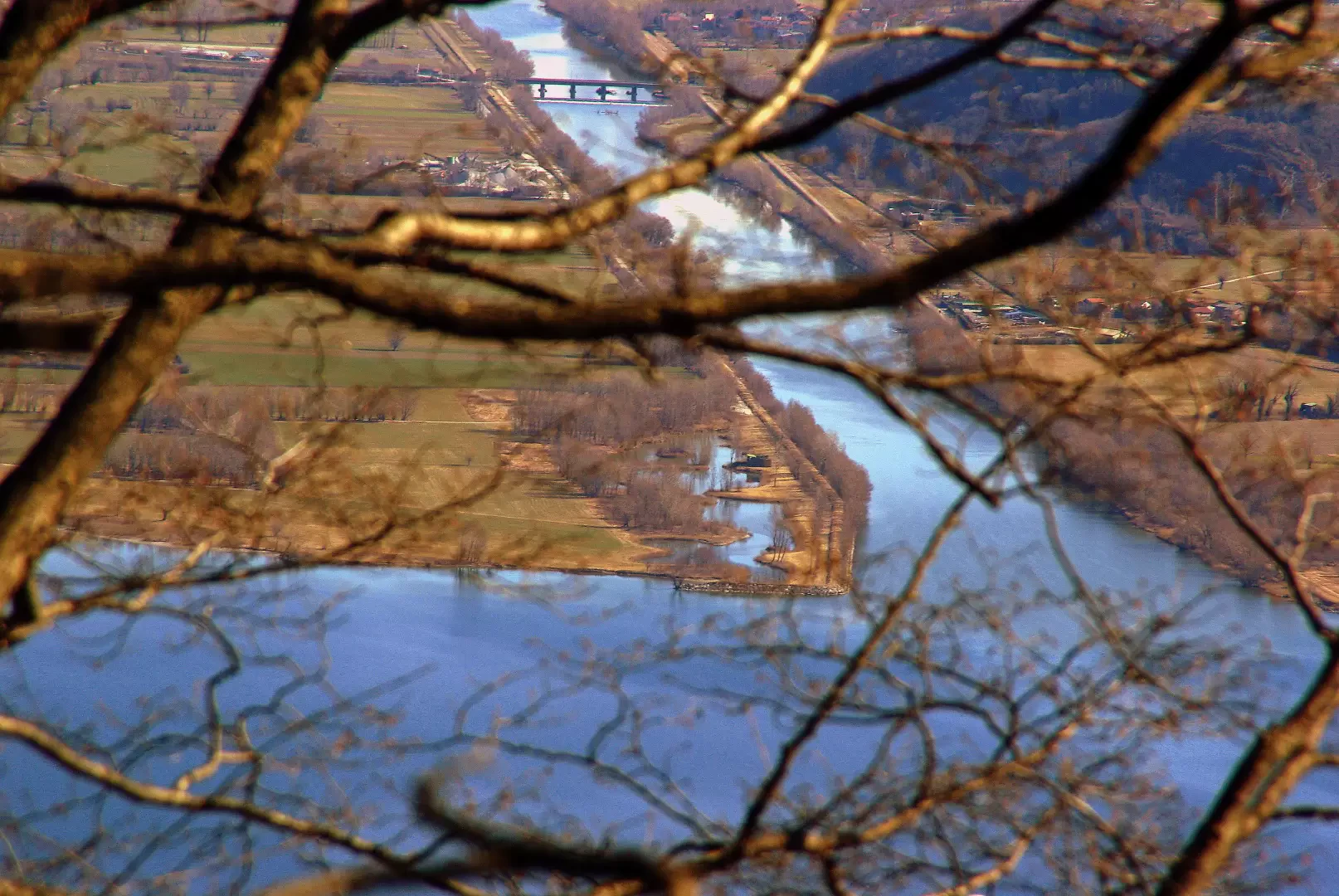
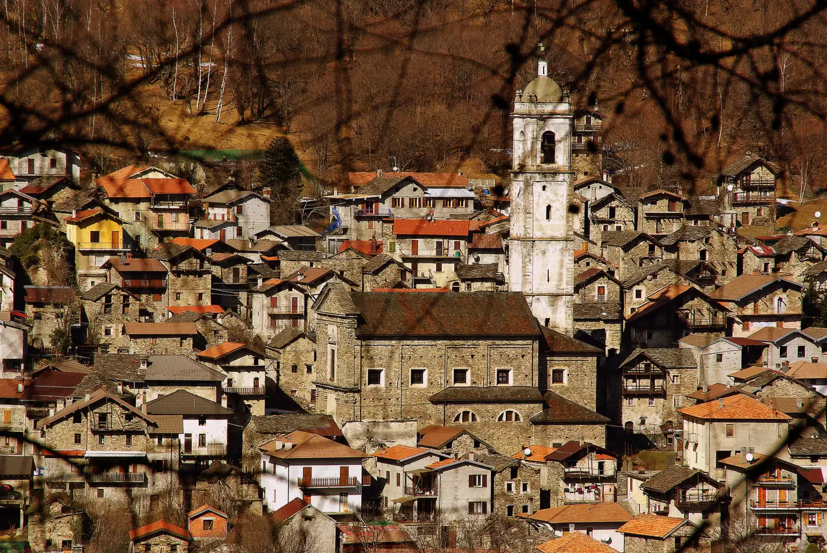
From the car park near the little church, take the tarmac road to Naro; after a few hundred metres - signposted - go left up the old traditional path. With a few ups and downs in the bright chestnut woods you reach the beautiful church of S.Croce di Naro (valuable frescoes inside); continue between the few houses of Naro (many restored) until you reach a wide clearing at the end of which you will find the first signpost of the Via dei Monti Lariani. The path, which is a little more impervious, leads up a stretch of woodland amidst large collapsed limestone blocks, cracks in the ground and a few sinkholes. The next stretch, with continuous ups and downs, runs along the northern flank of Sasso Pelo until it reaches a cemented forest track: follow it downhill until you reach Pian dei Gorghigli just opposite the village of Livo. Following the municipal road to the left or cutting across the meadows, you come alongside a small hydroelectric reservoir and soon return to the original church.
General Information
Signposting:
Type of route:circular
Recommended period:January, February, March, April, May, June, July, August, September, October, November, December
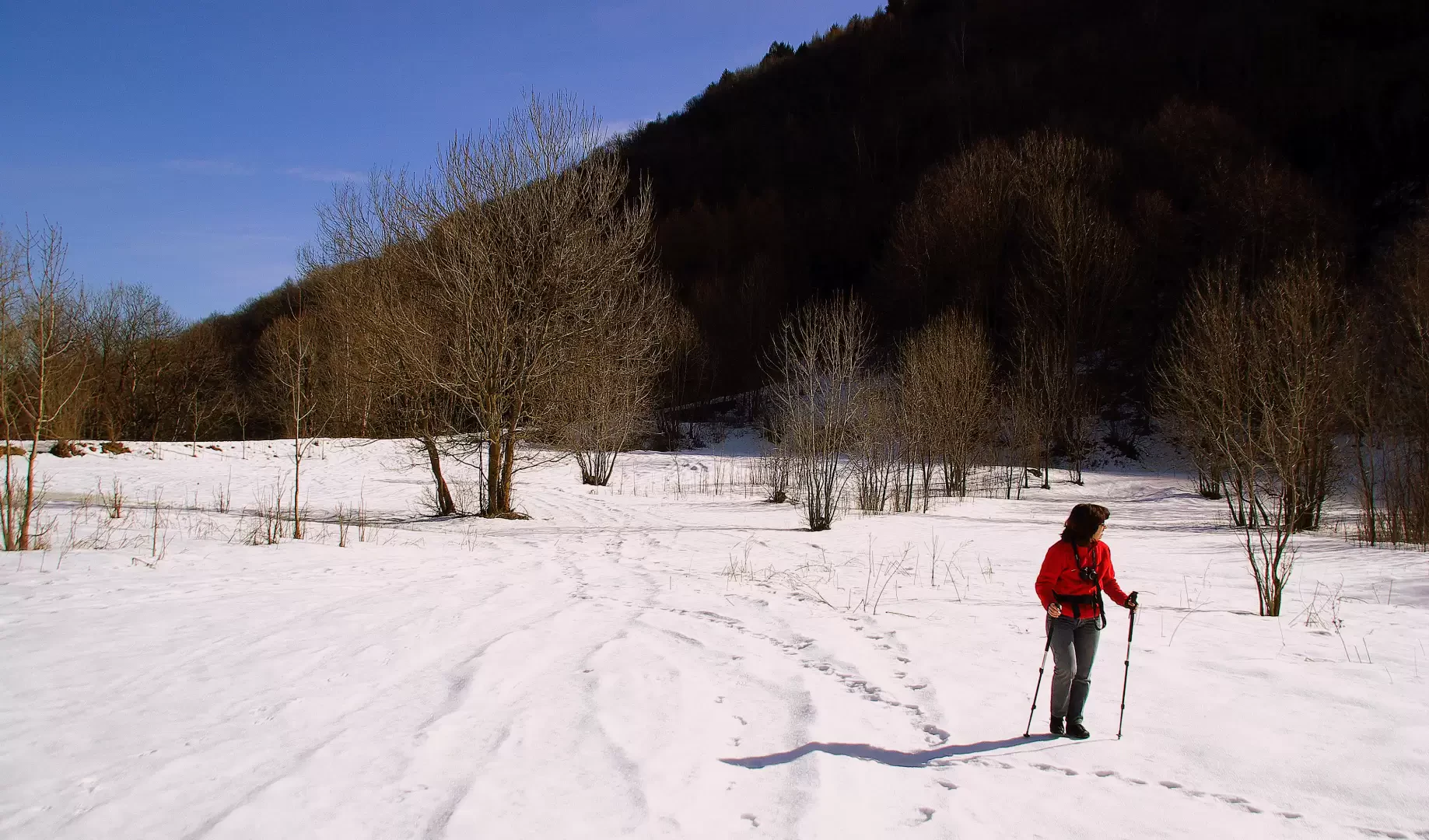
Objective hazard: difficulty in orientation in case of snow, ground crevasses
Sun exposure:northeast
Photo gallery
Comments (0)
Sign in to leave a comment