Ring of the Serio torrent, from Valbona


Edited by:
Marco Bonati
Updated at: 03/11/2025
Introduction
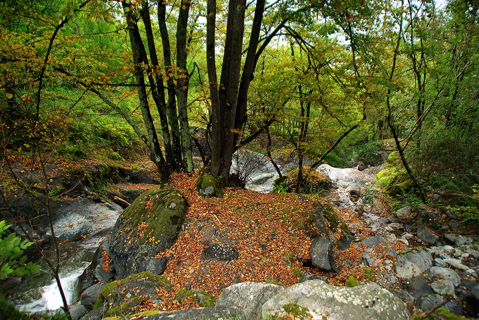
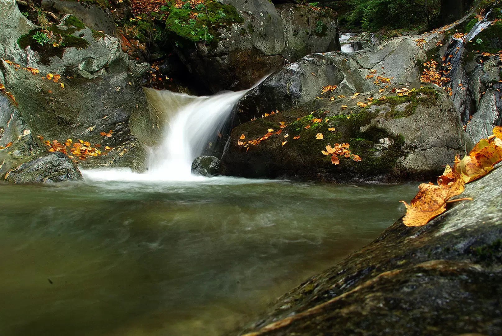
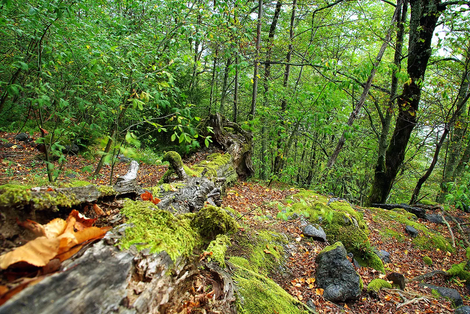
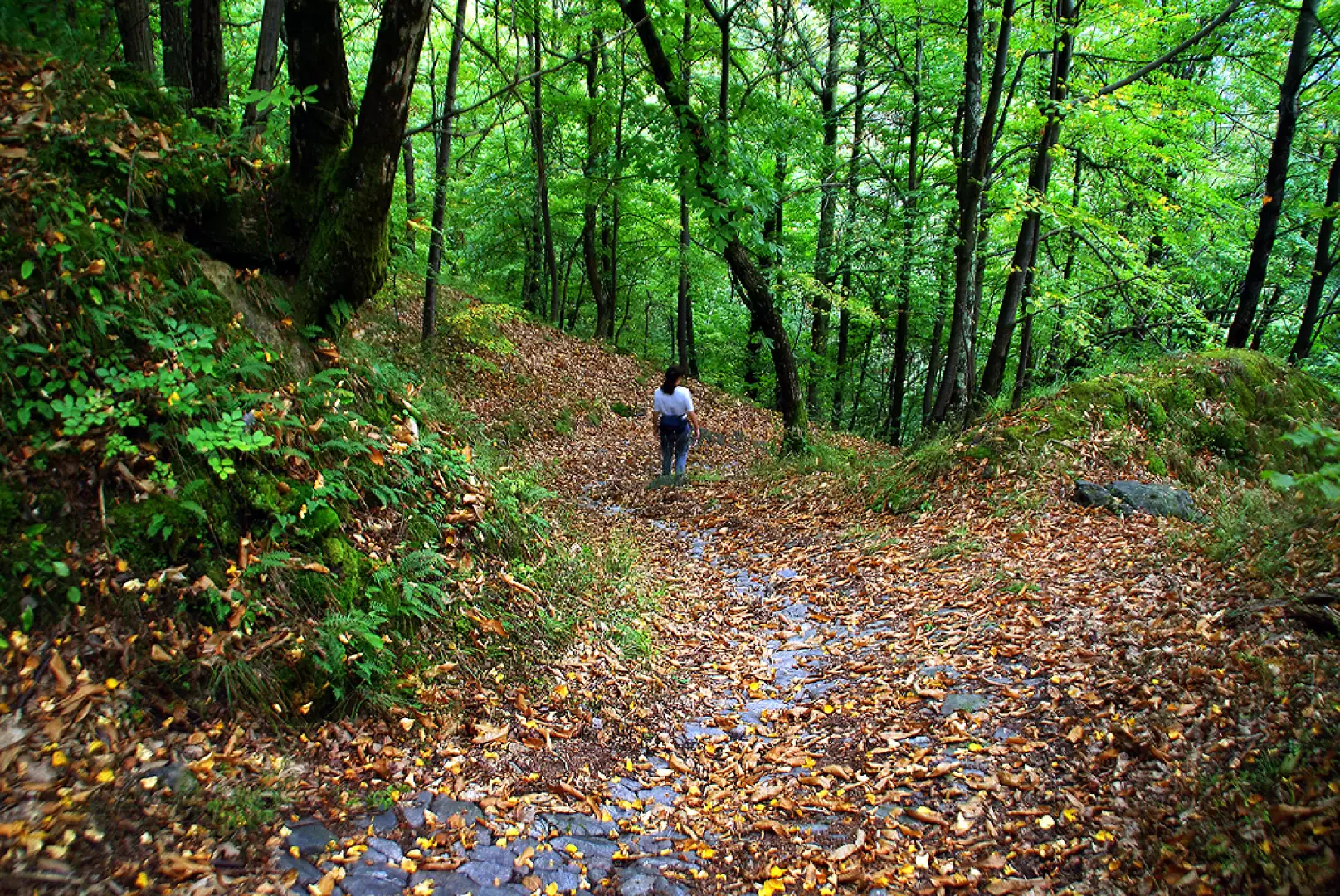
Short but picturesque loop hike that leads to visit the route of the Serio torrent that descends a sunken gorge with waterfalls, giants' potholes and rock slides between banks of granite slabs in a wonderful beech forest. Wrongly little known, this excursion is marked on the ground by signs of the Sondrio Mountain Community and the municipality of Piateda, but in the opposite direction to that described and on a partially different route. The route is strongly discouraged on wet ground.
Description
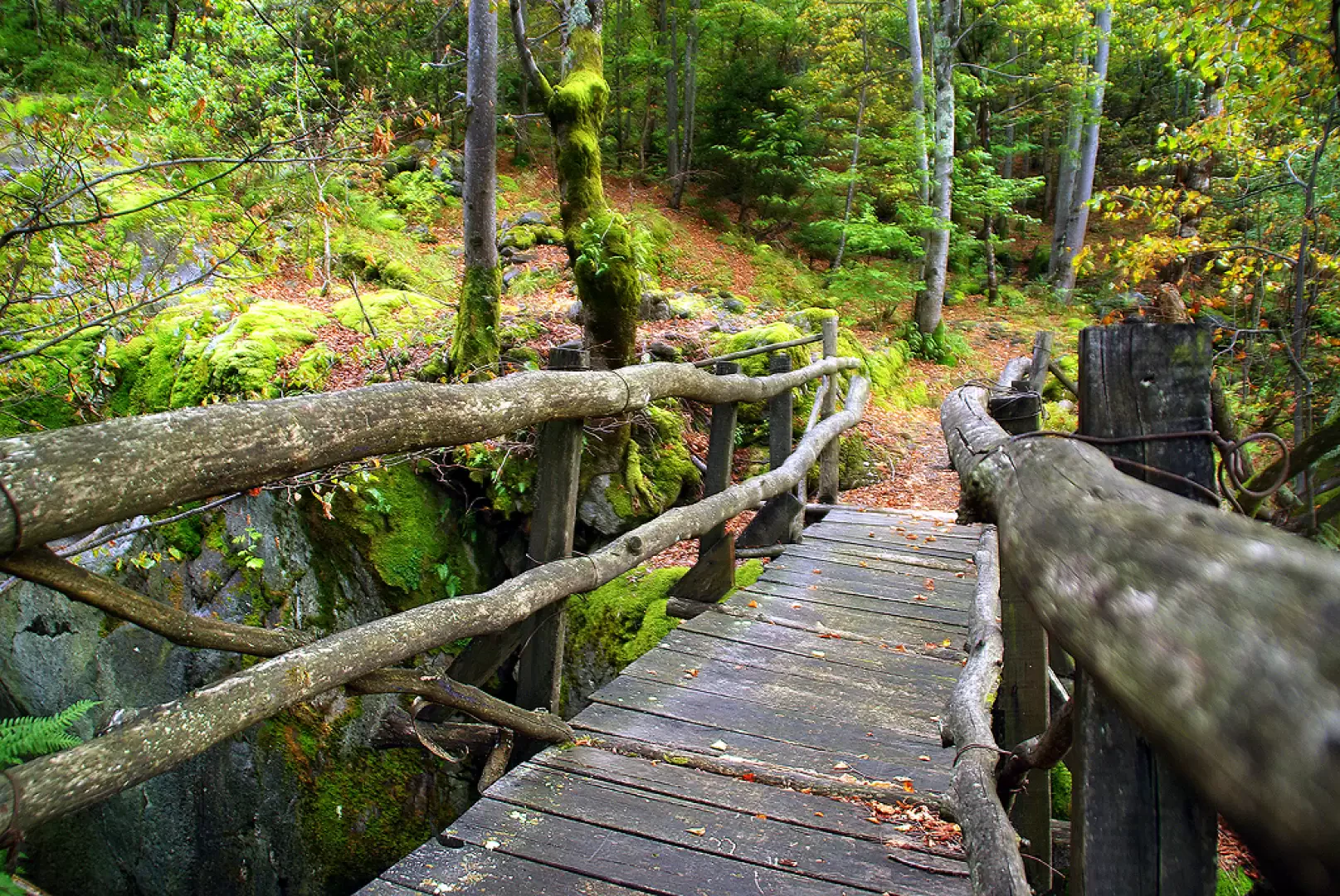
From the square in Valbona (330m), following the signs, cross the bridge over the Serio torrent, here bridged by an artificial river bed; between the houses near a fountain, abandon the signs and climb up to a second bridge, already visible from the car park. On the other side begins a cobbled mule track - beautiful and for long stretches undamaged - which climbs in twists and turns through the woods; at an aqueduct tollgate you cross a dirt track and continue on the other side, back into the woods. You find the track again and follow it to the left, reaching the houses of Castellaccio; proceed until you come to a new stretch of mule track (isolated hut surrounded by brambles) that leads back - for the last time - to the track, near a 480 m bridge. From here begins the stretch of stream to be climbed as best you can, with the choice of either walking along the rocky banks in the immediate vicinity of the water (steps up to III in adherence) or a faint trail on the right, which joins - very steeply - several overhanging viewpoints over the waterfalls. Proceeding in these ways, one reaches another bridge 680 m, crosses it and begins the return. Still indoors in the forest, on a moderate descent, you come to a stretch of smooth rocky slabs (very delicate in wet weather) and the ruins of the Bettoli district; then begins a long stretch with a pronounced gradient that only ends with the return to Valbona. We are travelling along a mule track with a dual use: the track is practically on the line of maximum slope and shaped in a concave section, although it makes pedestrian passage uncomfortable, it is essential for the sliding downhill of the logs felled in the mountains. When you reach Valbona, you find yourself near the initial fountain, then very close to the car park.
Photo gallery


Comments (0)
Sign in to leave a comment