Alpenzù Refuge, from Tschemenoal


Edited by:
Massimo Martini
Updated at: 09/04/2026
Access
Leave the motorway at the Pont-Saint-Martin exit. After about 100 metres, turn right, pass a traffic light and continue for about 600 metres until the crossroads for Gressoney. Enter the village of Pont-Saint-Martin and, after 1.2 kilometres, turn right onto the regional road in the direction of Valle di Gressoney. Follow up the entire valley for about 30 kilometres, passing through the villages of Lillianes, Fontainemore, Issime, Gaby and Gressoney-Saint-Jean . Once past the latter, continue for a few more minutes until reaching the village of Tschemenoal, where there is a free car park (🅿️) just beyond the hamlet, on the side of the road.
The place is served by public transport; to consult updated timetables and lines, visit the aosta.arriva.it.
Distance and travel time
🕒 Travel time: 40 minutes
📏 Distance: 30.2 km
GPS navigation
📍 How to get there with Google Maps
📍 How to get there with Apple Maps
ℹ️ Important note
The information provided has been verified as of the date of the route survey. Before departure, it is advisable to check for any changes to the route. For up-to-date and detailed directions, we recommend the use of Google Maps or Apple Maps.
.Introduction
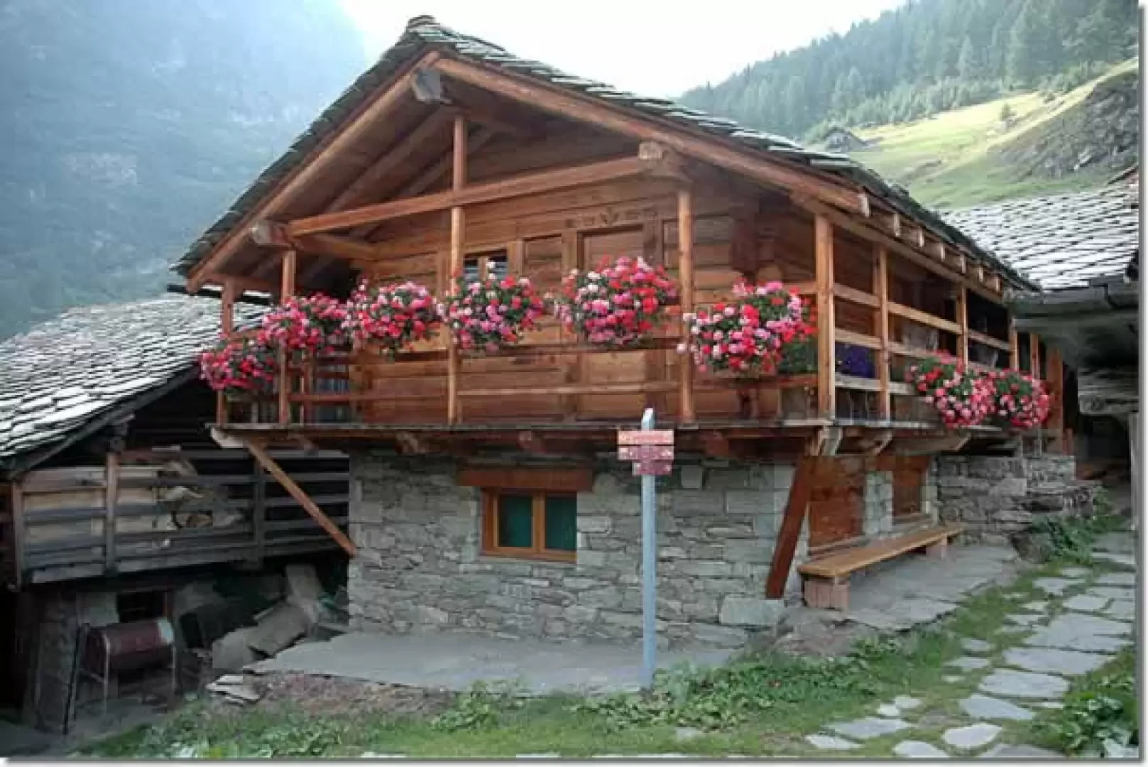
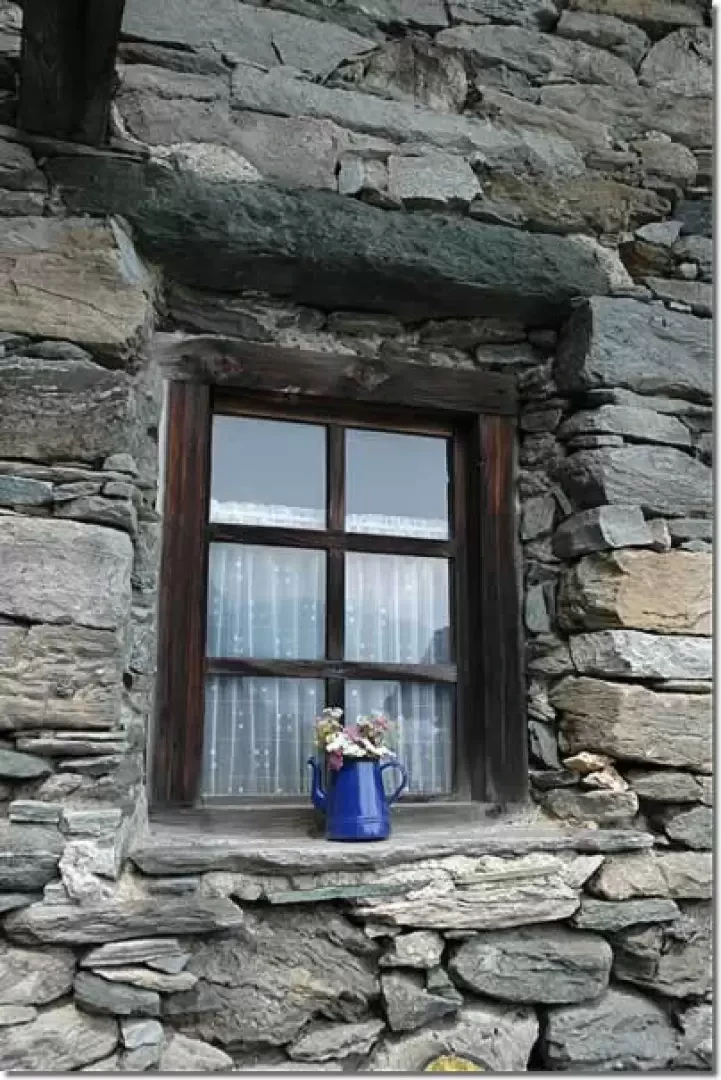
On the steep western slope of the Gressoney valley lies the village of Alpenzù, a Walser nucleus that bears witness to the population's ability to adapt to the Alpine morphology. The proposed itinerary leads to the Alpenzù hut, nestled between wooden and stone huts, offering the opportunity to closely observe the local culture, rural architecture and natural environment, characterised by the presence of larch trees (Larix decidua) and panoramic views of Gressoney-Saint-Jean. The short but intense route invites you to slow down to appreciate the tranquillity and details of the village.
Description
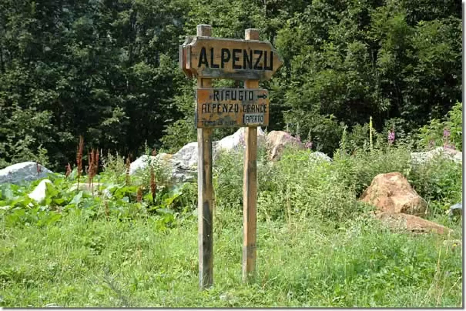
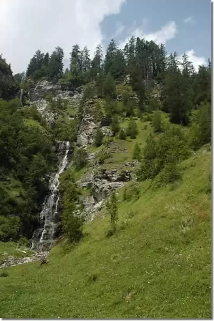
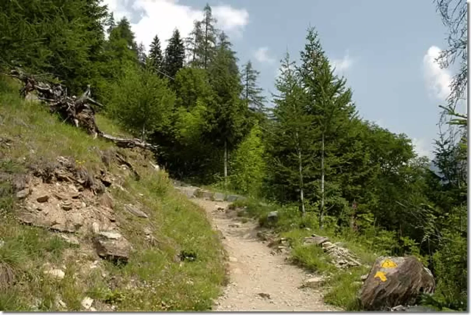
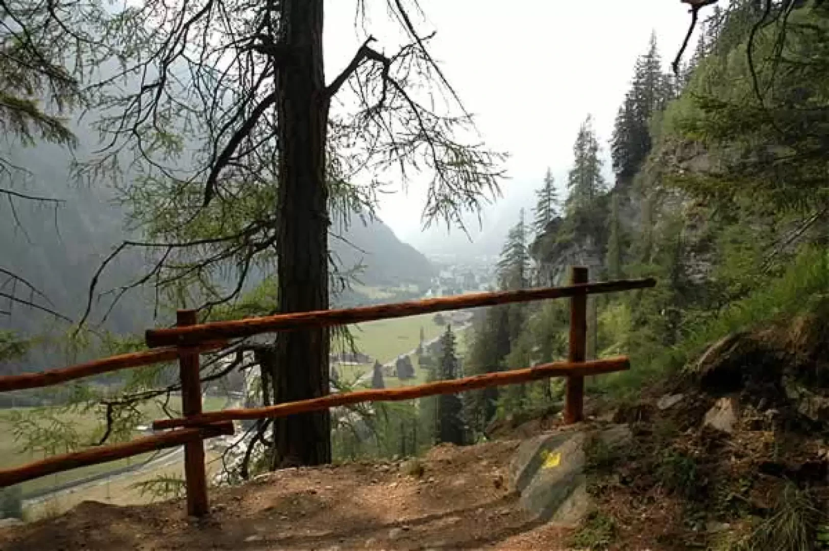
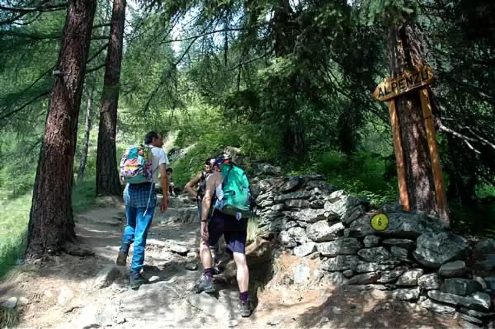
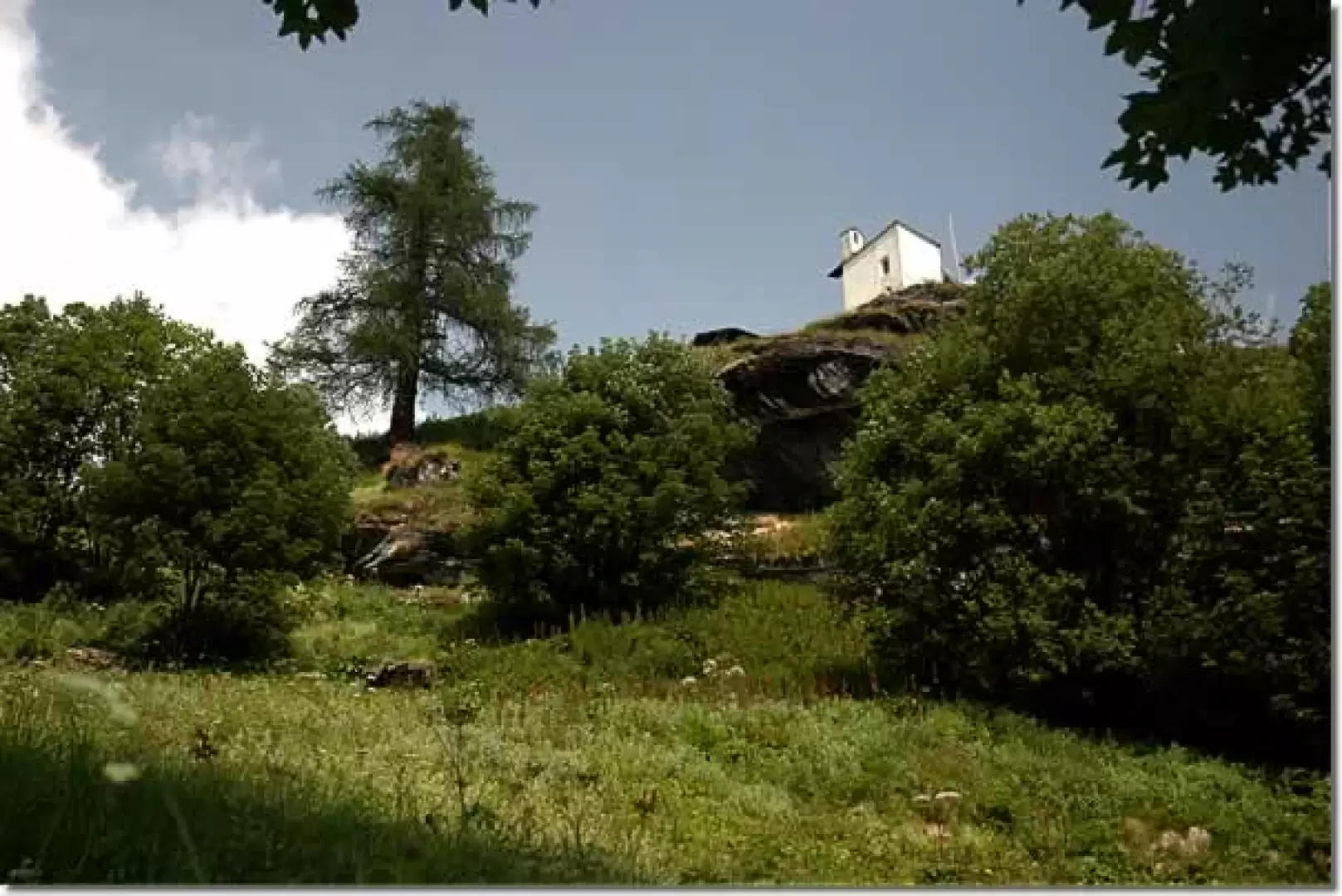
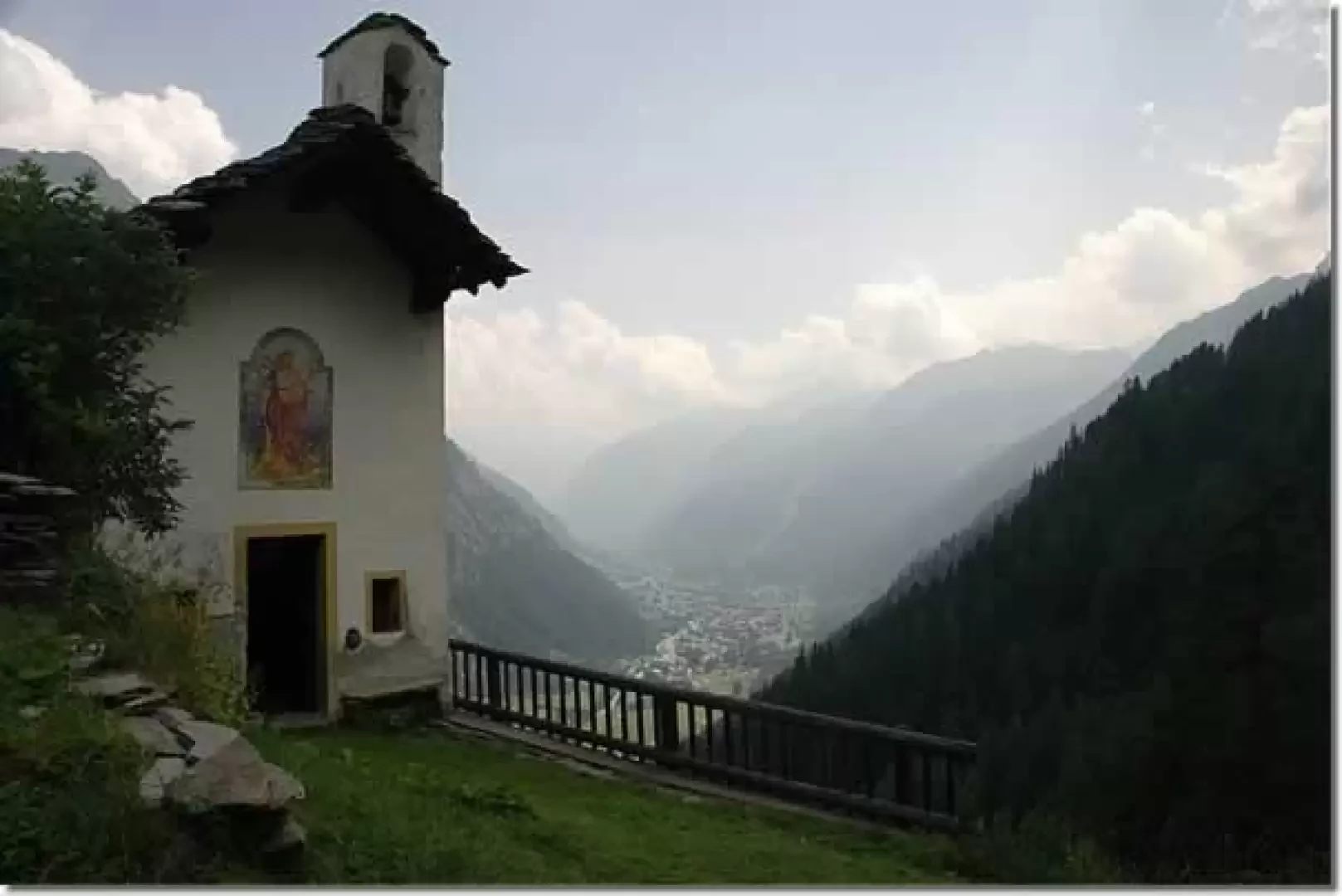
0h00' 0.00km Proceed along the tarmac road above the car park and reach the signpost indicating the start of the itinerary. Turn right in the direction of the waterfall visible opposite; after a short flat section, turn right again to take the wide mule track of Alta Via 1. Climb the steep slope through a series of hairpin bends that quickly gain altitude, entering a forest dominated by larch (Larix decidua), with sporadic presences of maple (Acer pseudoplatanus). After a long traverse to the right, continue climbing with short turns until reaching some panoramic benches at an altitude of 1,526m. Pass the benches and turn left along a section protected by a railing: here the forest thins out, offering a wide view of the Gressoney-Saint-Jean basin. Continue until you reach a well-preserved stadel and, a little further on, a small oratory, situated near a fork in the road (1,592m).
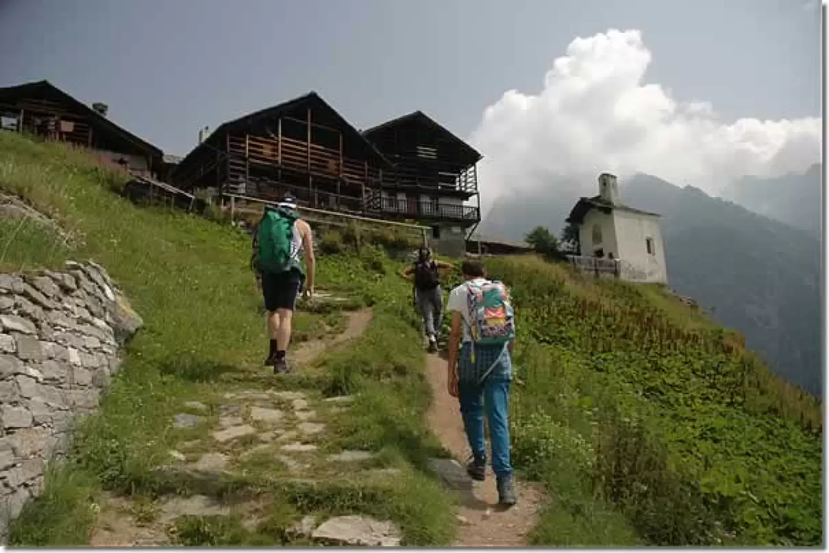
0h25' 0.54km Ignore the path on the left and continue along the mule track, flanked by ancient dry stone walls. Gradually leave the forest and meet the ruins of the Tschòké mountain pasture (1,655m), protected by a large rock. Cross the alpine pasture, skirt a small stream and negotiate a few wide bends, at the end of which the picturesque little village church appears above your heads. Cross a short wooded strip and enter the pastures that extend below the village. Pass a second oratory (1,702m) and continue across the meadows until reaching the old mule track. Turn right: the characteristic Walser settlements and the charming St. Anne's chapel appear in front of you. Continue for a few more minutes to reach the village of Alpenzù (💧) and the hut of the same name, located within it (1,779m) 0h45' 1.17km .
The return is made by following the route back along the same route to the Tschemenoal car park 0h30' 1,17km .
Points of interest
- Tschemenoal
- Tschemenoal Refuge
- St. Anna Chapel
- Gressoney-Saint-Jean
Collections
Photo gallery
Comments (0)
Sign in to leave a comment