Chaligne Refuge, from Mendey

Edited by:
Massimo Martini
Updated at: 27/07/2026
Access
Navigazione stradale
Lasciare l'autostrada alla barriera di Aosta Est e continuare sul raccordo autostradale per 350m (0,35km). Uscire sulla strada statale in direzione di Aosta Centro per 100m (0,45km). Alla rotonda prendere la seconda uscita e proseguire sulla per 2,6km (3,05km). Alla rotonda successiva prendere la prima uscita e immettersi su Viale del Gran San Bernardo, percorrendolo per 3,3km (6,35km) fino a entrare sulla strada statale . Seguire la per 10,9km (17,25km), superando l'abitato di Gignod, fino al bivio per Buthier Gorrey. Svoltare a sinistra e imboccare la strada comunale per Buthier Gorrey, percorrendola per 2,5km (19,75km). Svoltare leggermente a destra e proseguire per 800m (20,55km), quindi procedere dritto per 1,1km (21,65km) fino al parcheggio.
Parcheggio
Al termine della strada asfaltata, in località Mendey, si trova un parcheggio 🅿️ gratuito. È il punto di partenza dell'itinerario per il Rifugio Chaligne.
Accesso con mezzi pubblici
Per raggiungere il punto di partenza dell'itinerario è necessario un mezzo privato, poiché Mendey non è servita da trasporti pubblici.
Distanza e tempo di percorrenza
🕒 Tempo di percorrenza: 28 minuti
📏 Distanza: 21,6km
Navigazione GPS
Avvertenza temporale
Il percorso descritto è deviante per chiusura della galleria del raccordo A5-SS27/E27 e rimane valido fino a fine giugno 2027. Dopo la riapertura della galleria, il percorso dovrà essere revisionato per tornare alla rotta standard.
Nota informativa
Le indicazioni fornite sono state verificate alla data del rilievo dell'itinerario. Prima della partenza si consiglia di verificare possibili variazioni del percorso o delle condizioni stradali. Per informazioni aggiornate si raccomanda di consultare Google Maps o Apple Maps.
Introduction
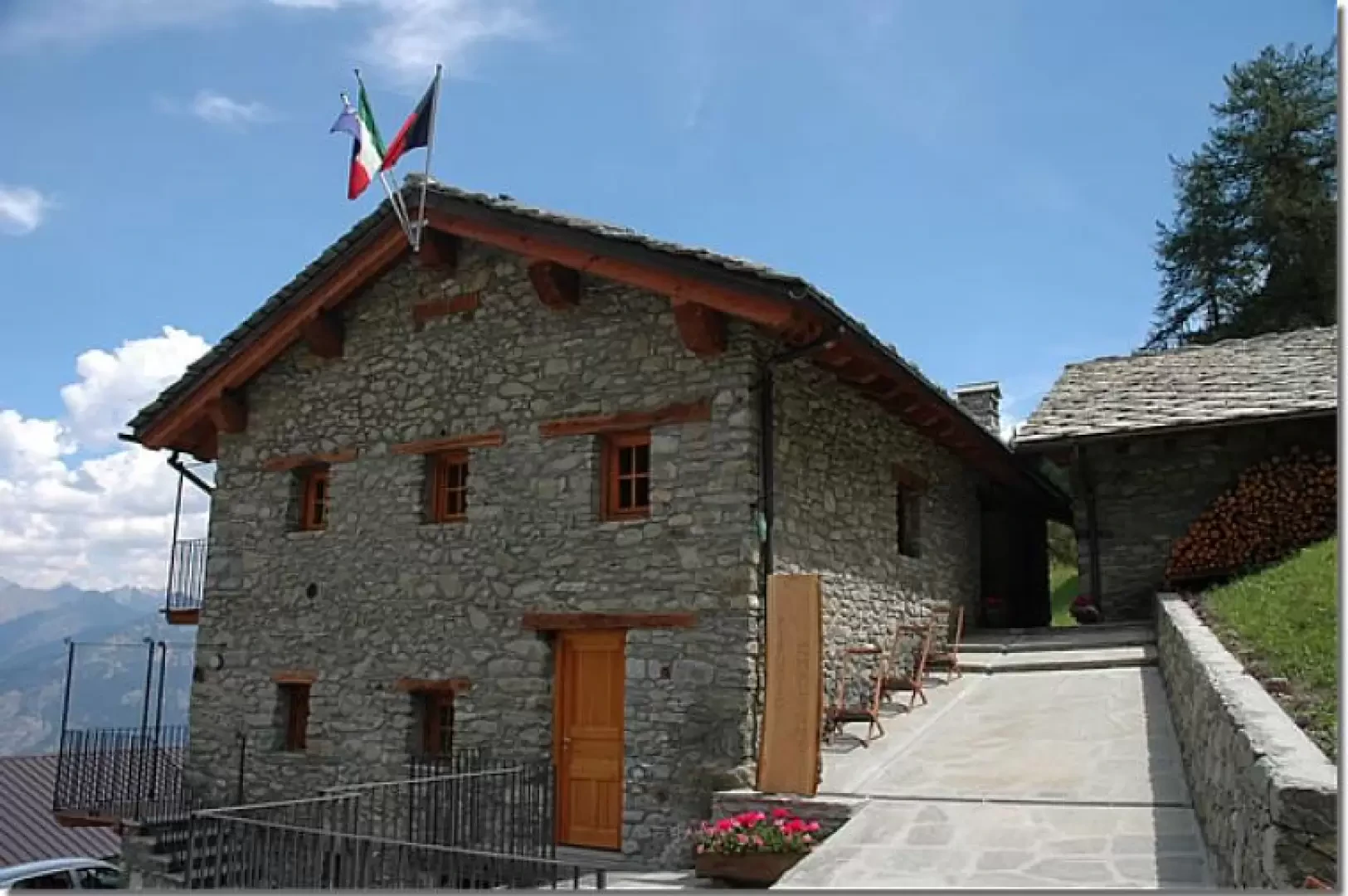
Short walk through woods and pastures at the foot of the Pointe de Chaligne. The destination is the newly opened Chaligne refuge.
Description
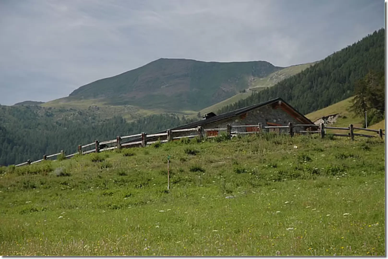
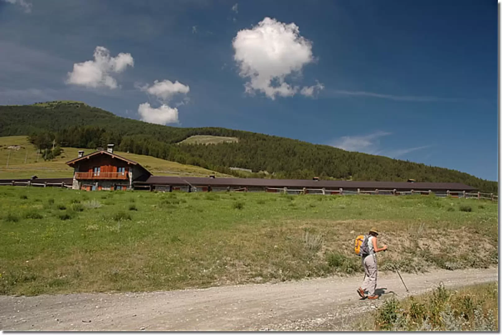
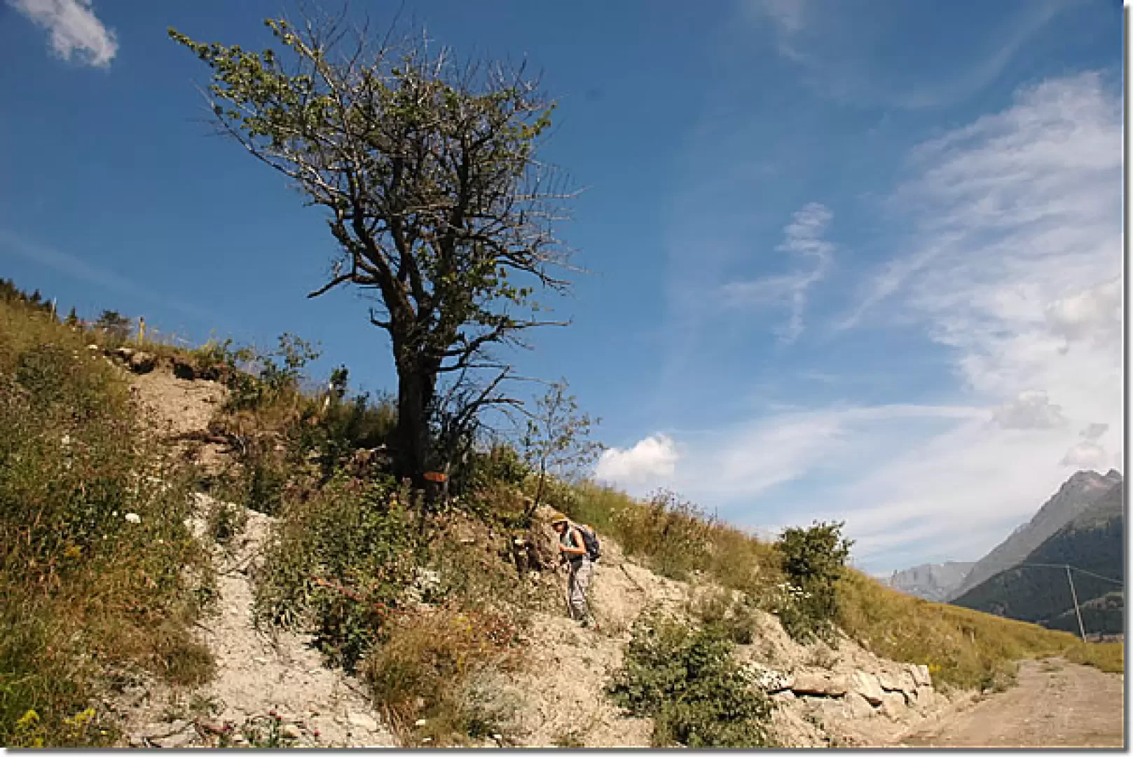
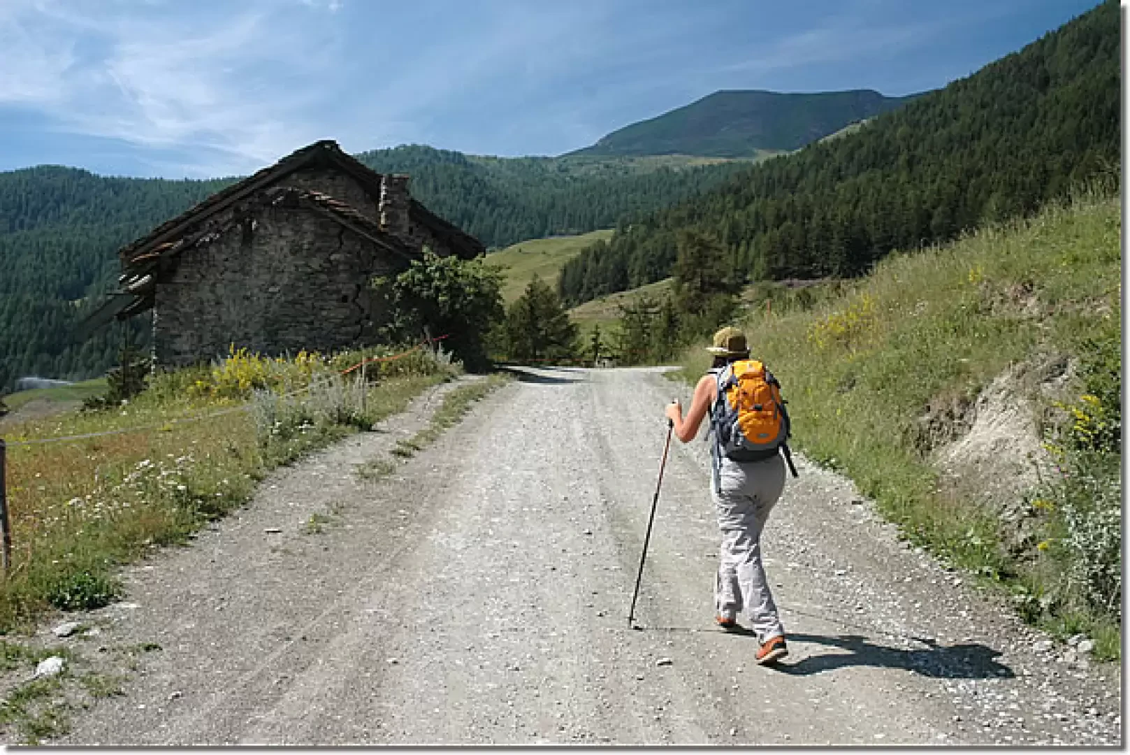
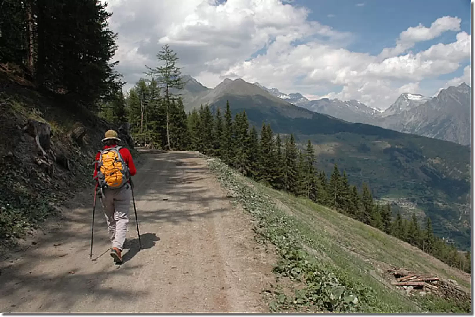
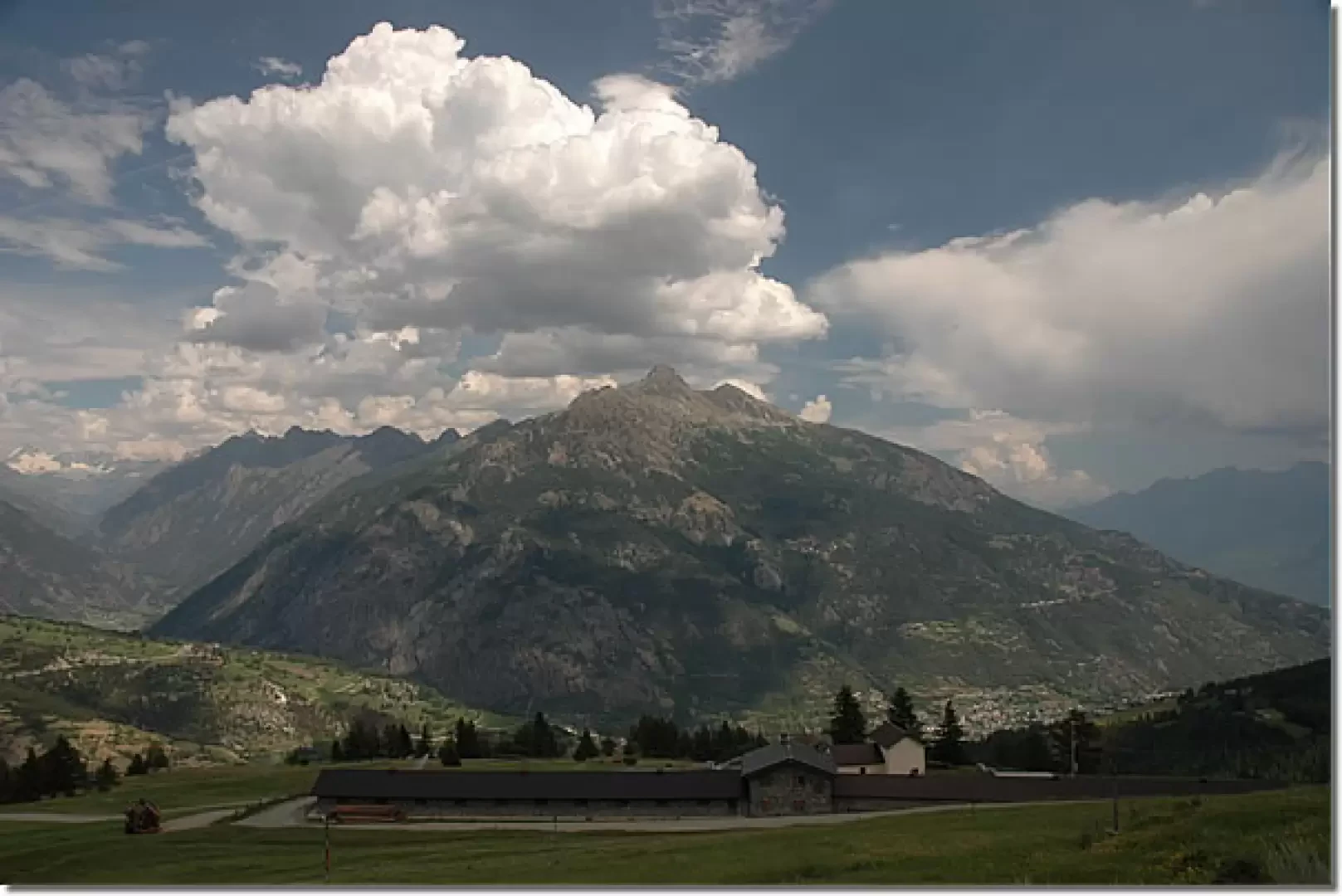
We leave the car and set off along a small road heading south. Slightly uphill, we immediately cross the beautiful pastureland below Mendey, while before our eyes is a beautiful view of the Pointe de Chaligne. After a couple of hairpin bends, you reach the long pastureland of Mendey (1,547m, 0h05'); continue slightly uphill until you reach a crossroads: turn right and, after a short while, take the mule track that branches off to the left at the level of a tormented oak tree (1,590m, 0h15').
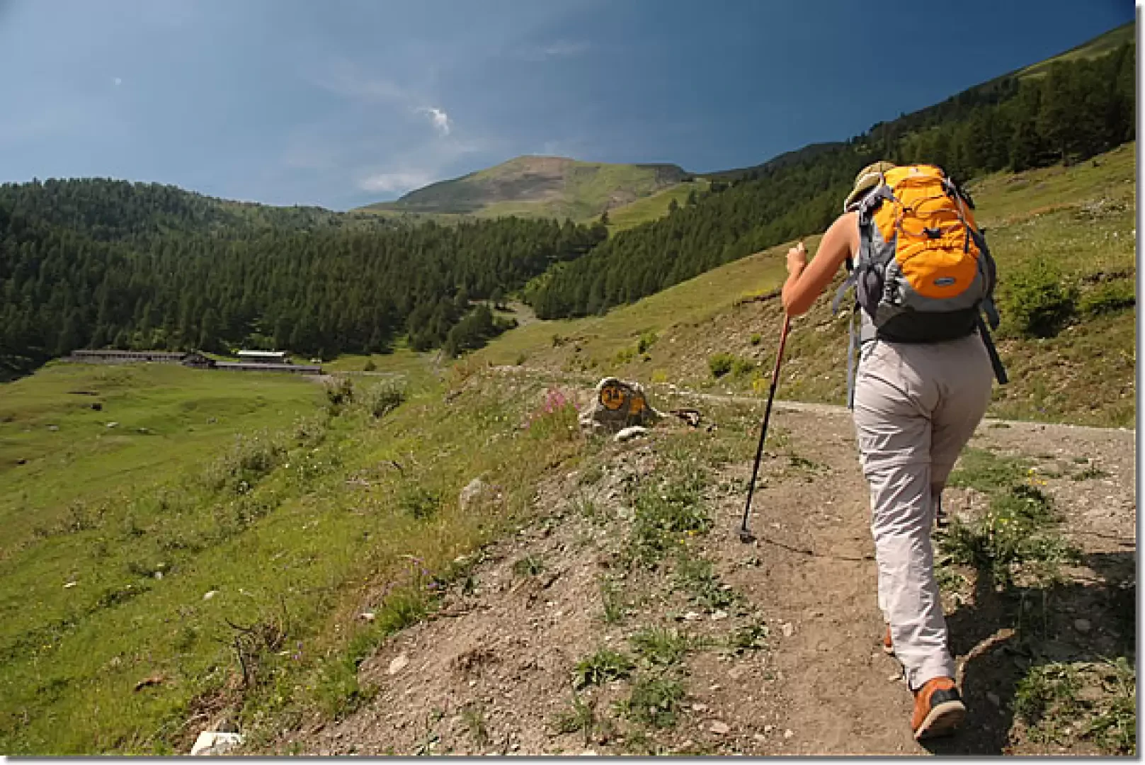
The track climbs the slope, passing by a few scattered larches, until you reach the track again below the Roncaille pastureland (1,671m, 0h25'). Take the farm track that passes above the alpine pasture and then leave it, after about 150m, following the signs for the path
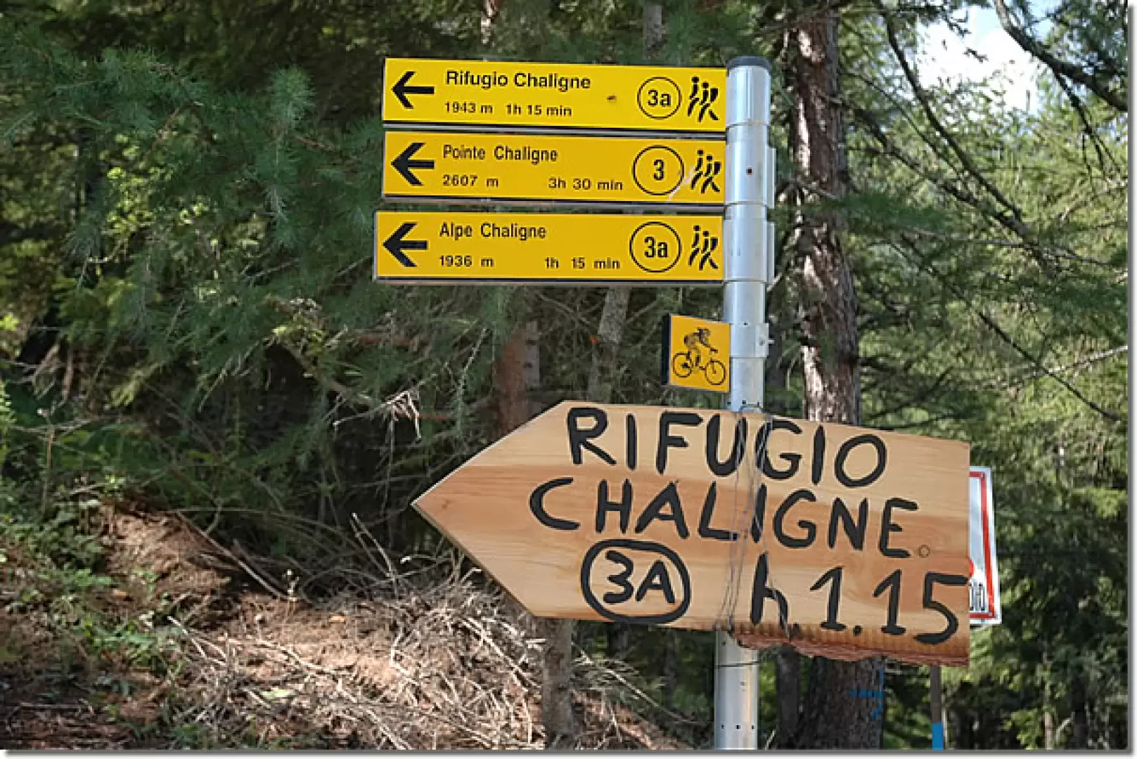
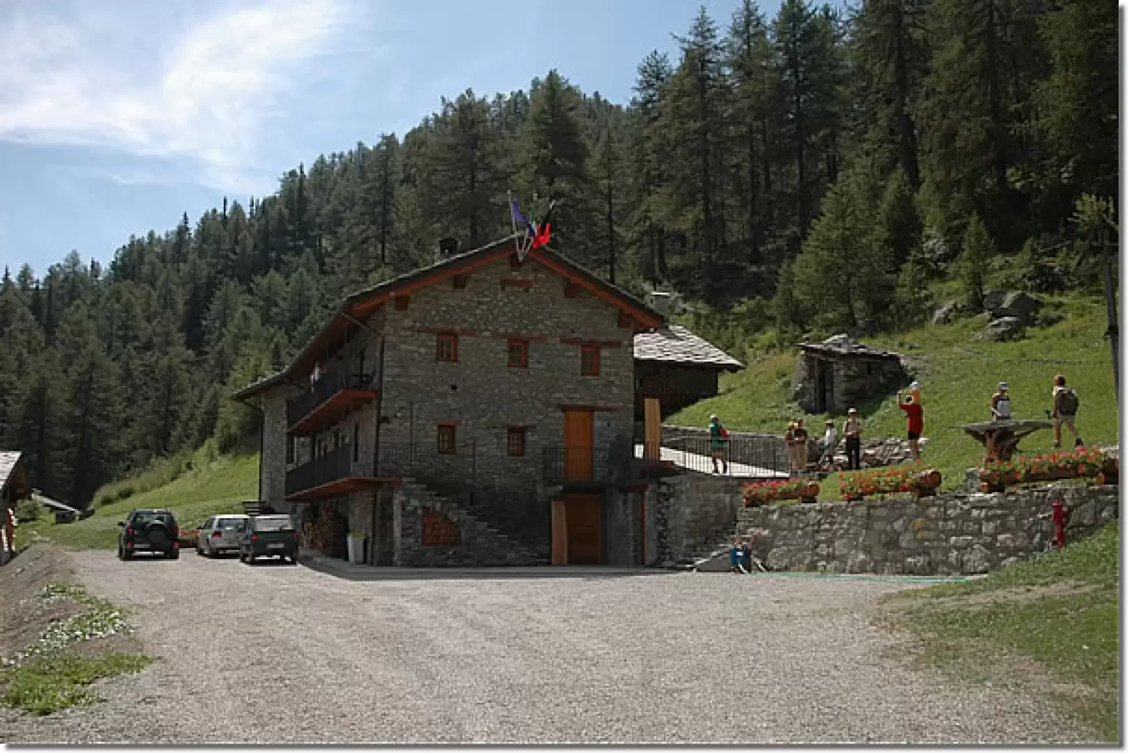
that climbs up towards the wood, skirting a wooden railing. You soon enter the larch and spruce forest, climbing up a small valley keeping to the left until you reach the farm road again (1765m, 0h45'). Cross the road for the first time and continue in a southerly direction, crossing it twice more. The climb becomes gentler until it joins the road leading to the hut for the last time: from here the goal becomes visible. A few more minutes and you will finally reach the Chaligne hut (1943m, 1h15').
From the hut you can enjoy the wonderful view of the Valpelline, in the distance you can also see the Cervino.
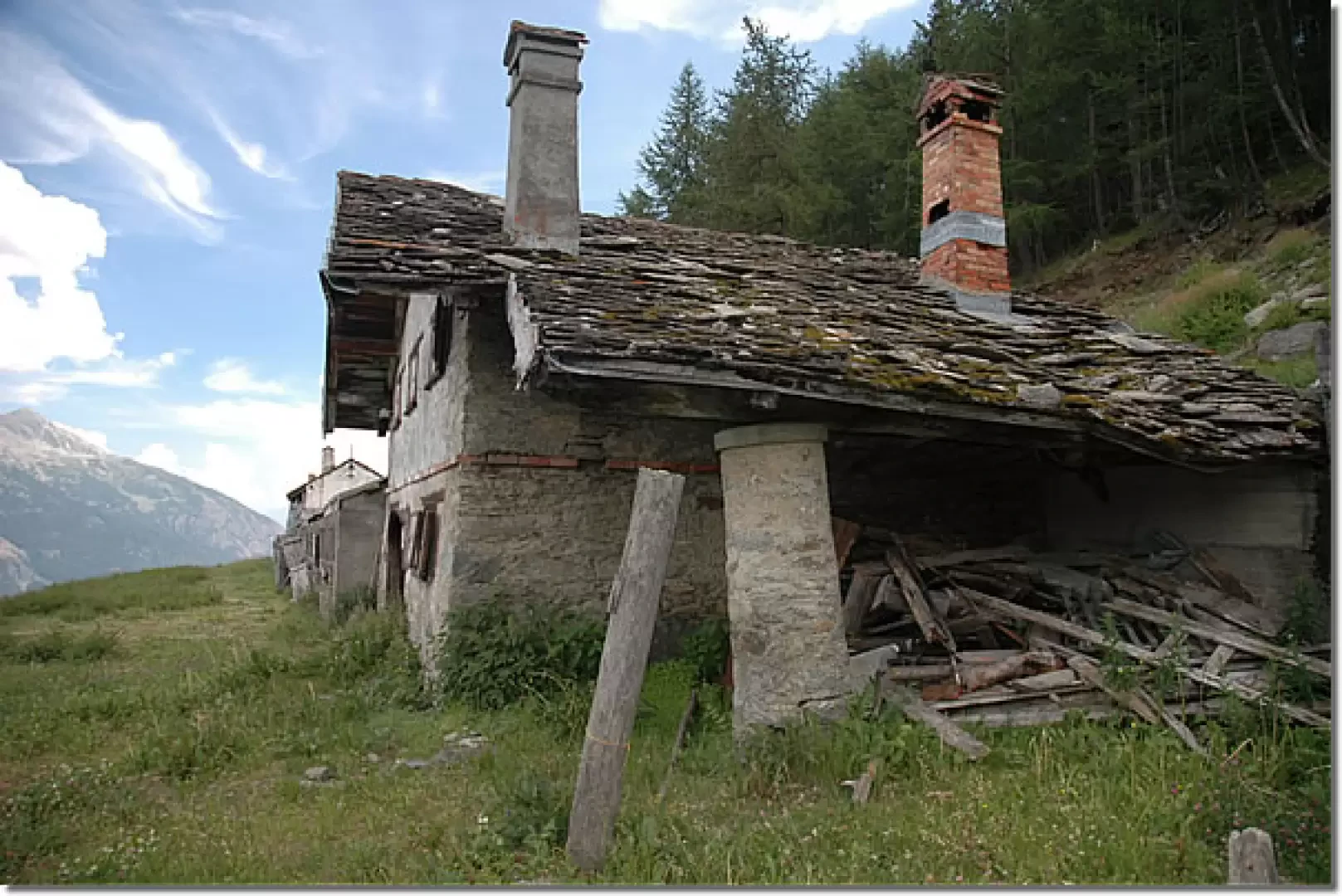
You can either descend following the route taken uphill (0h45') or you can make a loop via the Collet alpine pasture. For this return walk, first descend along the little road taken uphill until you reach a fork: take the little road on the left and start walking along it practically level. You cross the beautiful spruce forest that descends from the Costa Tardiva and in about 20 minutes you reach the alpine pastures of Collet (1917m, 1h45'). Shortly after the alpine pastures, on the right, take a forest track, path (3), which enters the forest with a couple of hairpin bends and then proceeds almost straight downhill until a hairpin bend to the left that soon leads to Meriau Damon (1740m, 2h00'). From the cottage, turn right until reaching a small farm road: take it to the left and, after a few metres, you will find a yellow arrow indicating a descent to the right along the path. Follow the path along a hump between two tributaries and then turn right, cross a stream and rejoin a small road at a water intake. From here continue straight on towards Mendey, which is now visible, and from there to the starting point (2h15').
Riferimenti Bibliografici
- Rifugi e Bivacchi della Valle d'Aosta - Martini Massimo e Zavatta Luca - Editrek & L'escursionista editore, Saint-Vincent e Rimini, 2012
Photo gallery
Comments (0)
Sign in to leave a comment