Carate Brianza Refuge

Edited by:
Marco Bonati
Updated at: 03/06/2025
Access
Da Milano a Sondrio lungo le statali 36 e 38; alla rotonda all'ingresso della città svoltare a sinistra in direzione Valmalenco. Si percorre tutta la provinciale fino alla località Campo Franscia. Ampi piazzali per il parcheggio.
Introduction
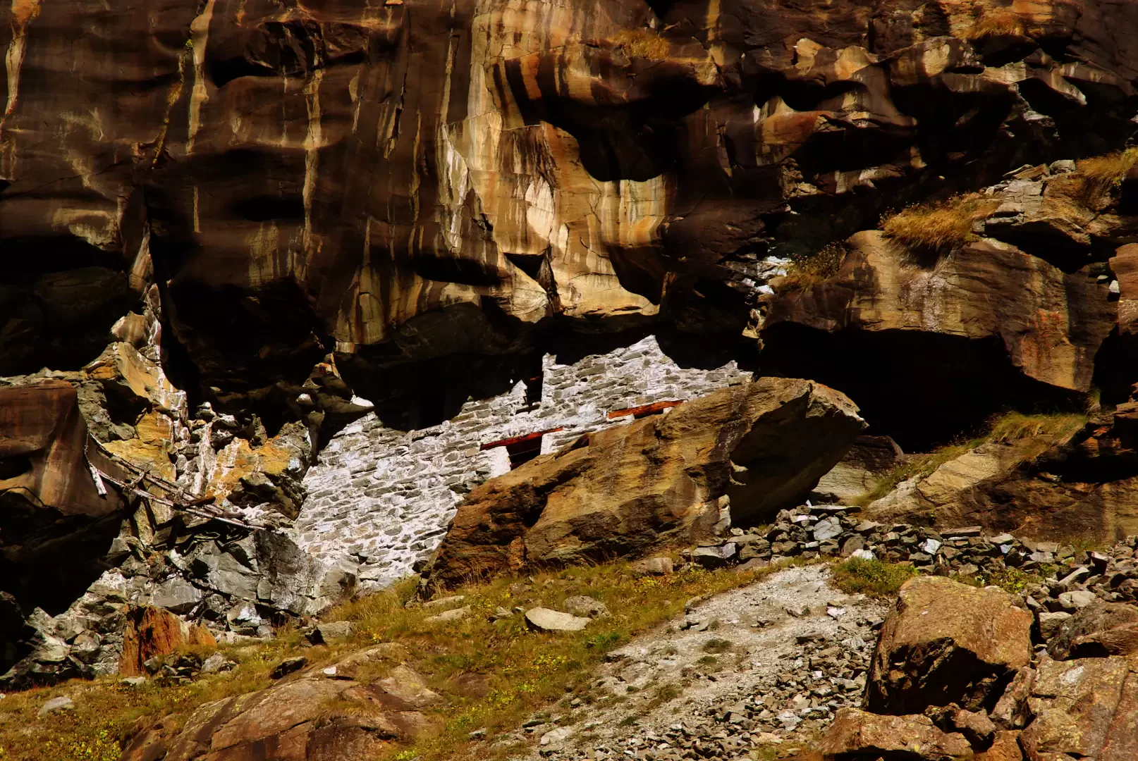
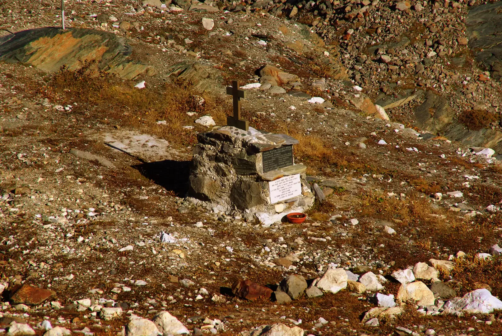
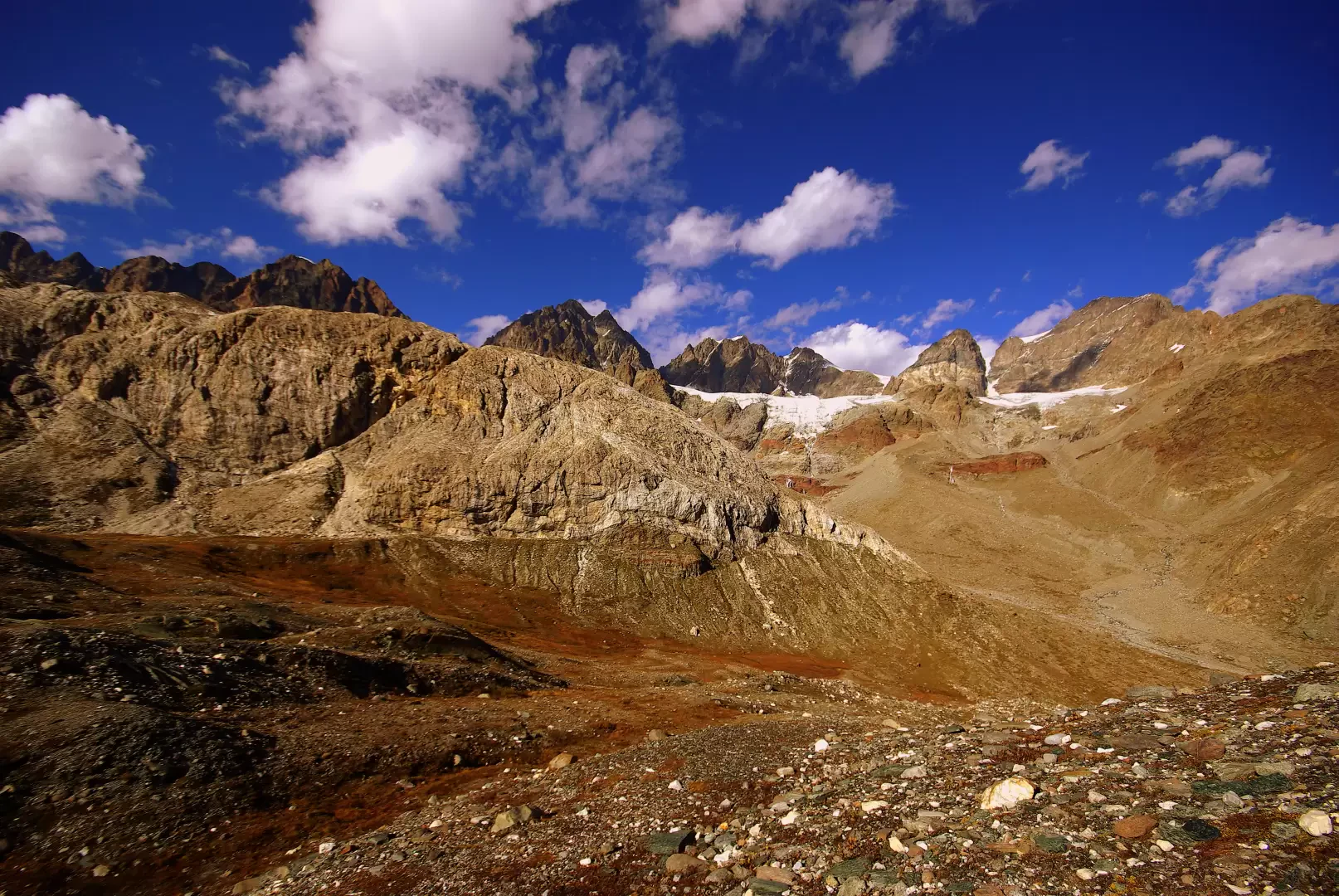
To reach the Rifugio Carate, one normally follows other, much shorter paths. This trail, of great environmental, geological and ethnographic interest, runs along the ancient bed of the Torrente Scerscen, which used to convey water from the glaciers of the Bernina group to its confluence in Val Lanterna. At present, due to natural diversions and abundant hydroelectric captures, the water level is so low that erosions of the rocky base can be seen. Shortly after the entrance to the Scerscen valley are the mouths of the ancient asbestos quarries that operated until the end of World War II: in addition to the external remains of the service equipment, it is possible to visit - with extreme caution and appropriate equipment - the excavation tunnels that are still passable. Another point of interest is a visit - with a short diversions - to the well-known Alpine Cemetery, which is well camouflaged in the stony environment. As for the panorama, it simply encompasses all the mountains between the Forcola Fex-Scerscen and the Pizzo Scalino.
.Description
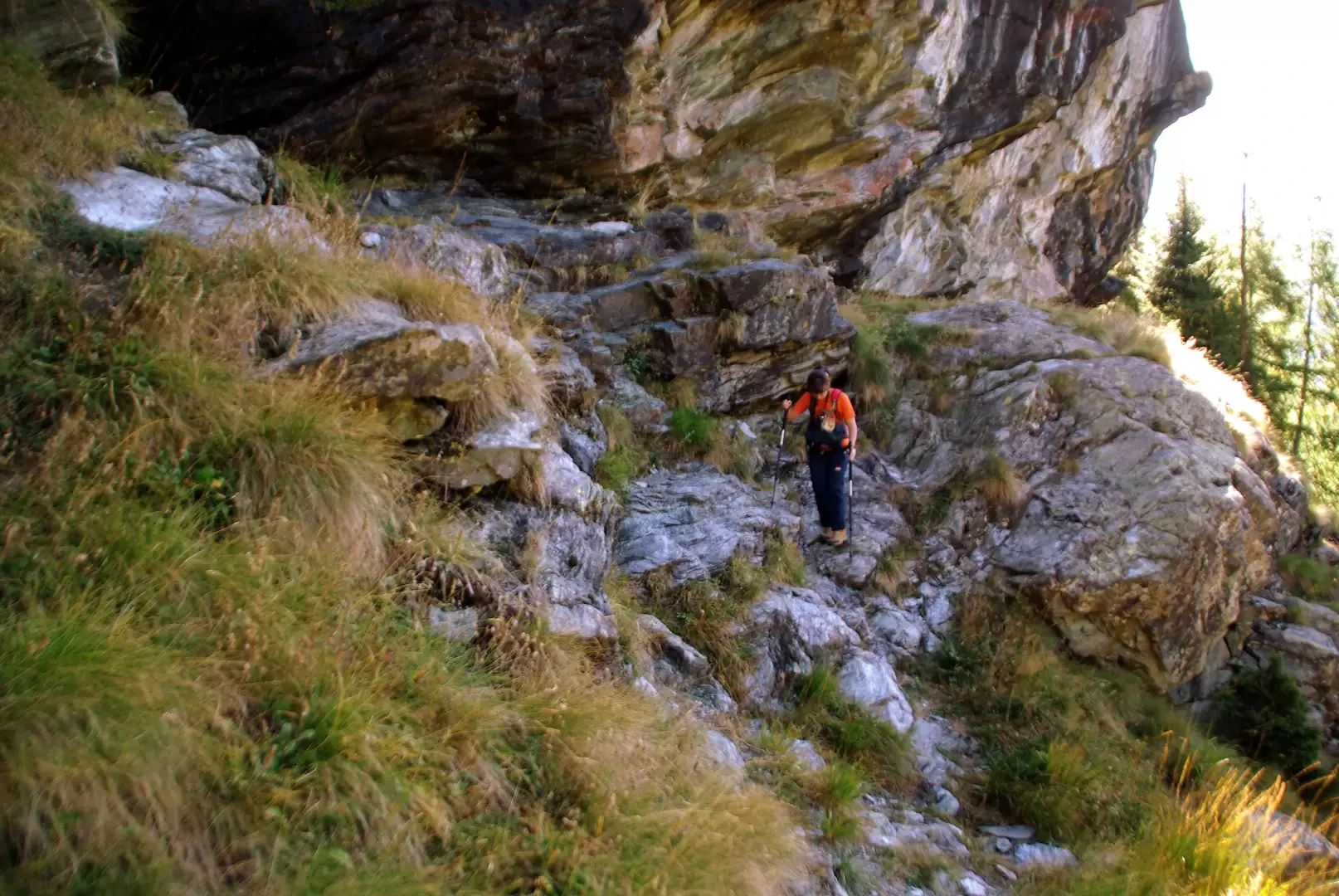
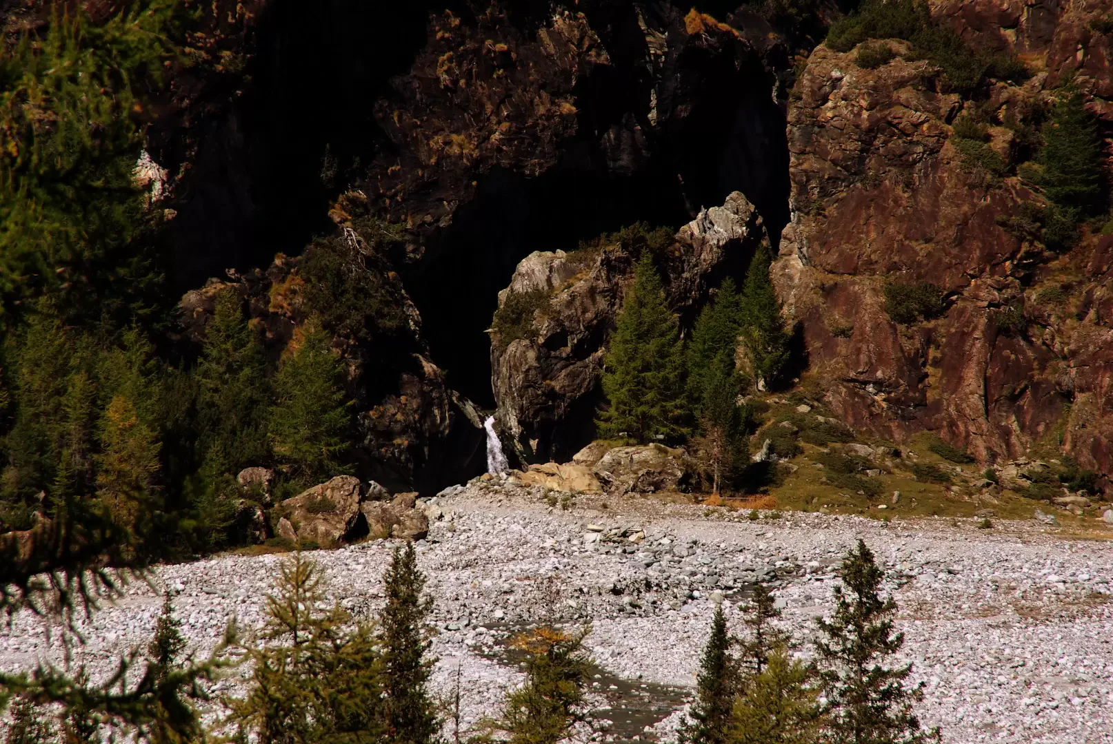
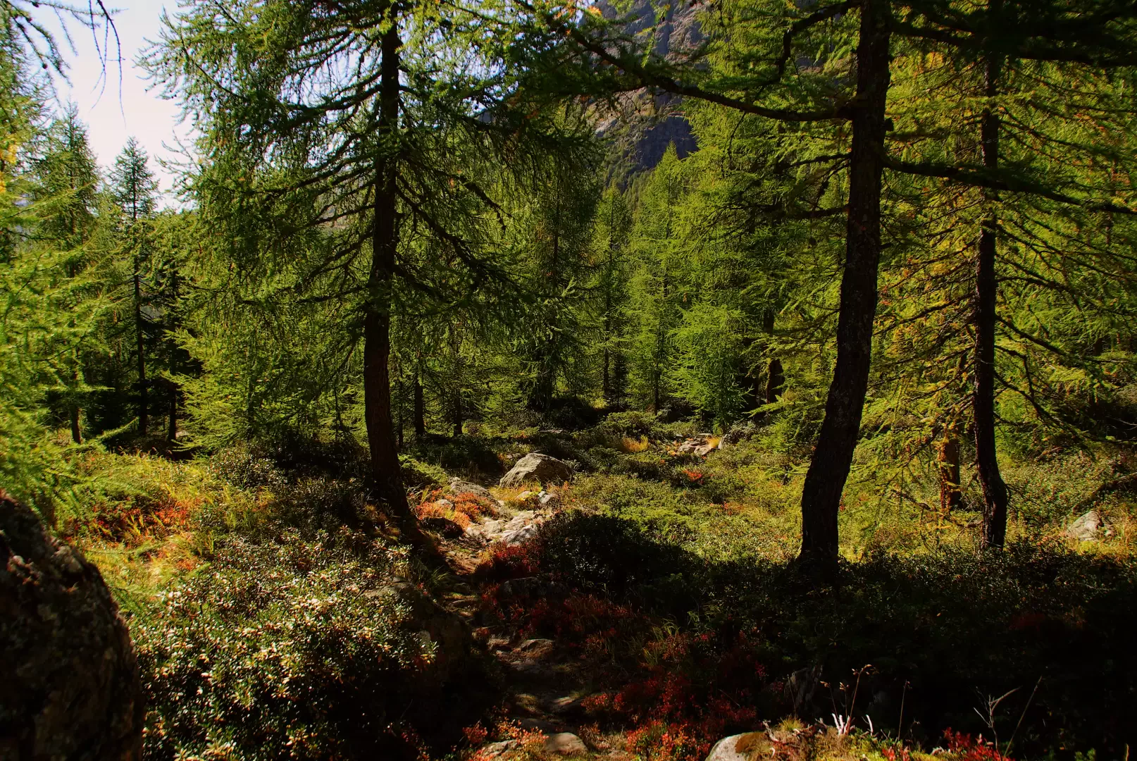
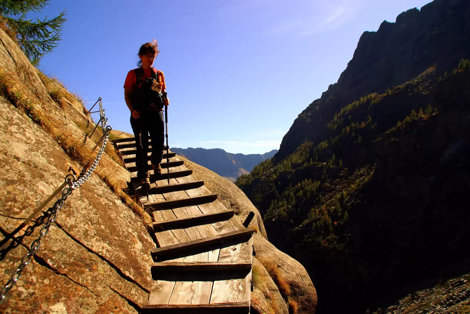
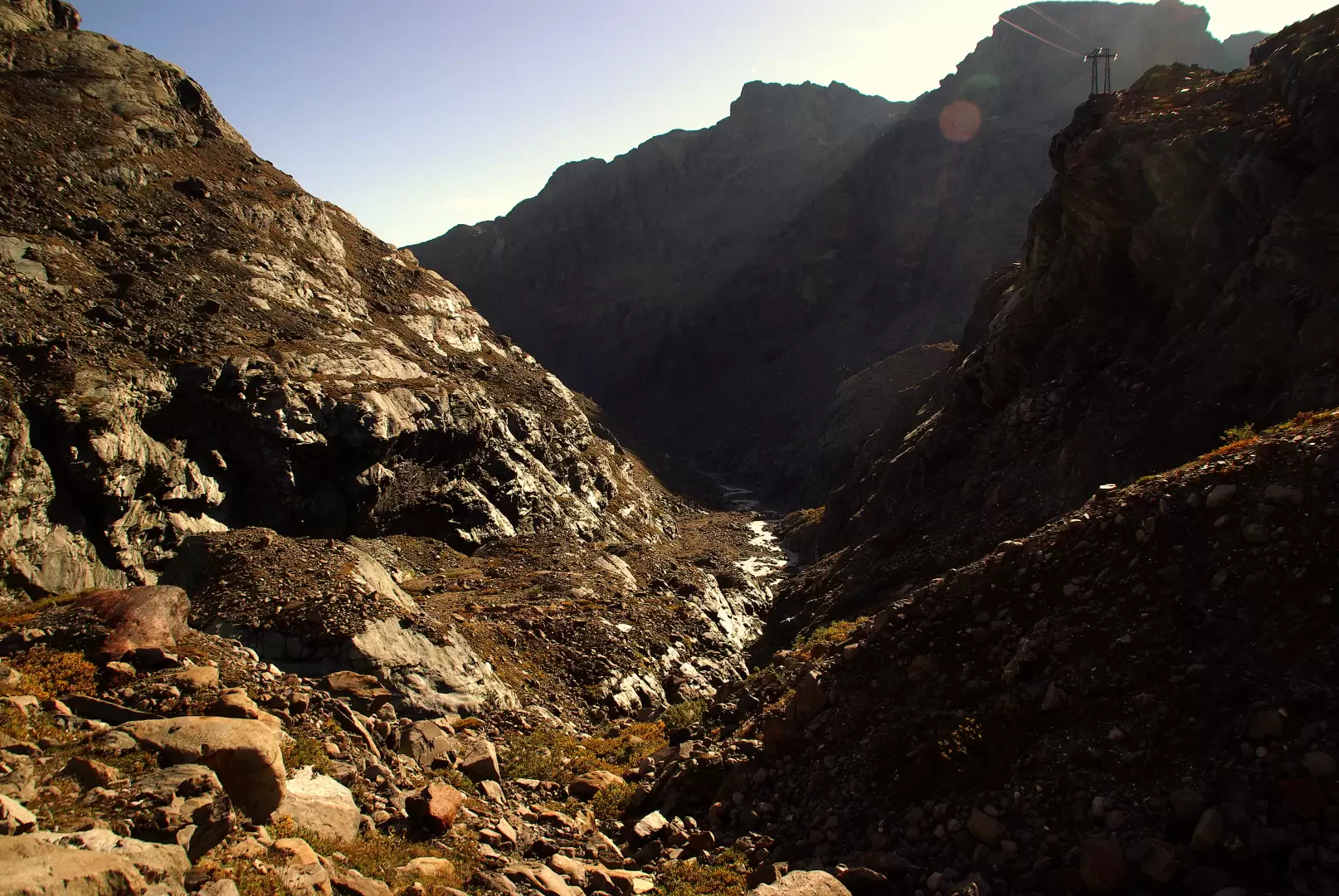
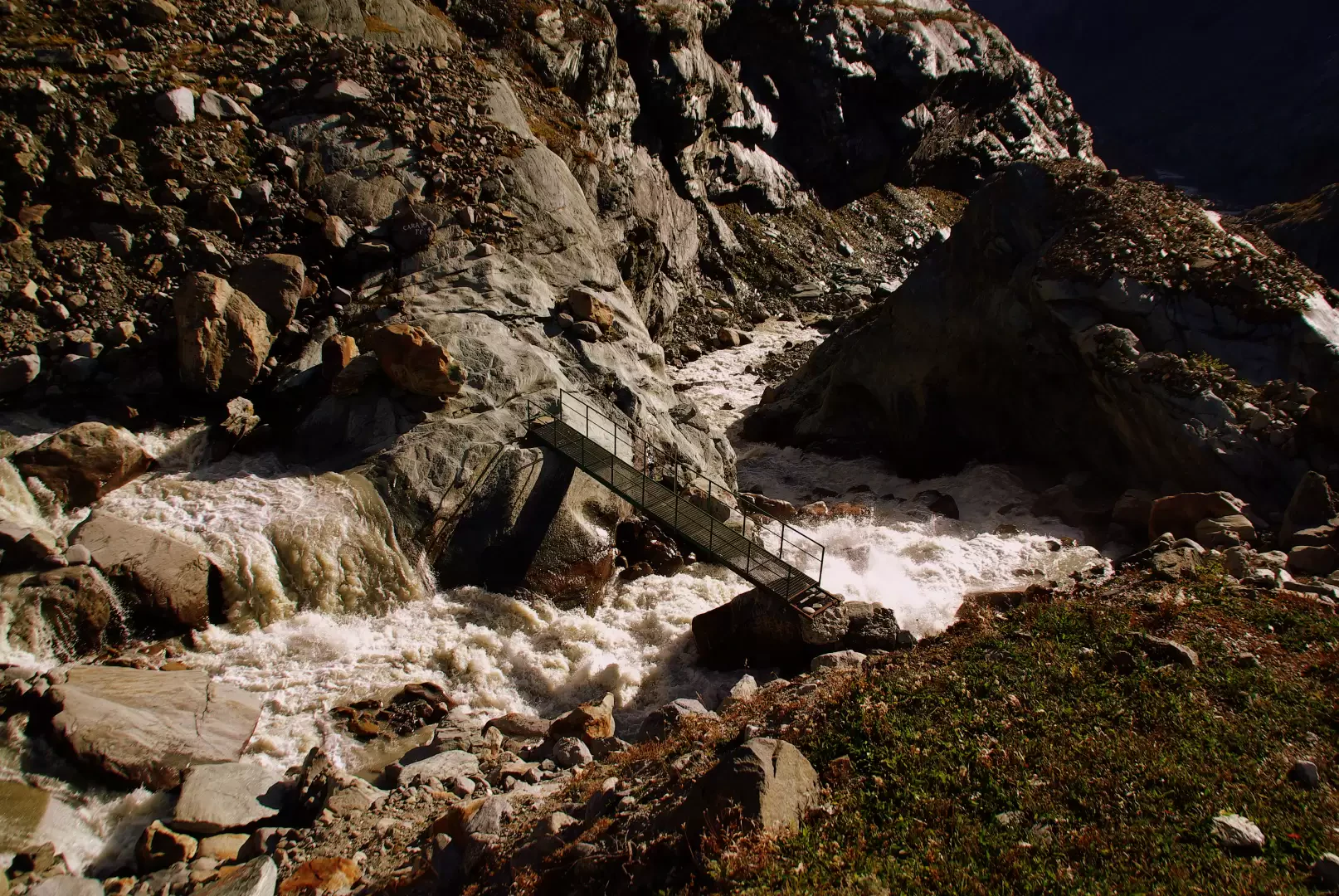
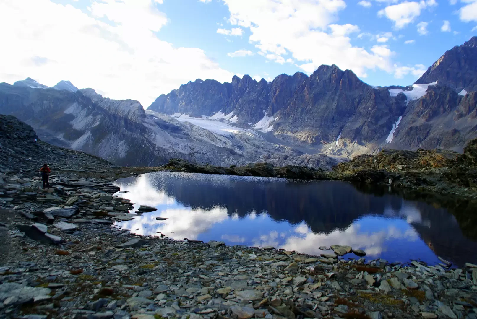
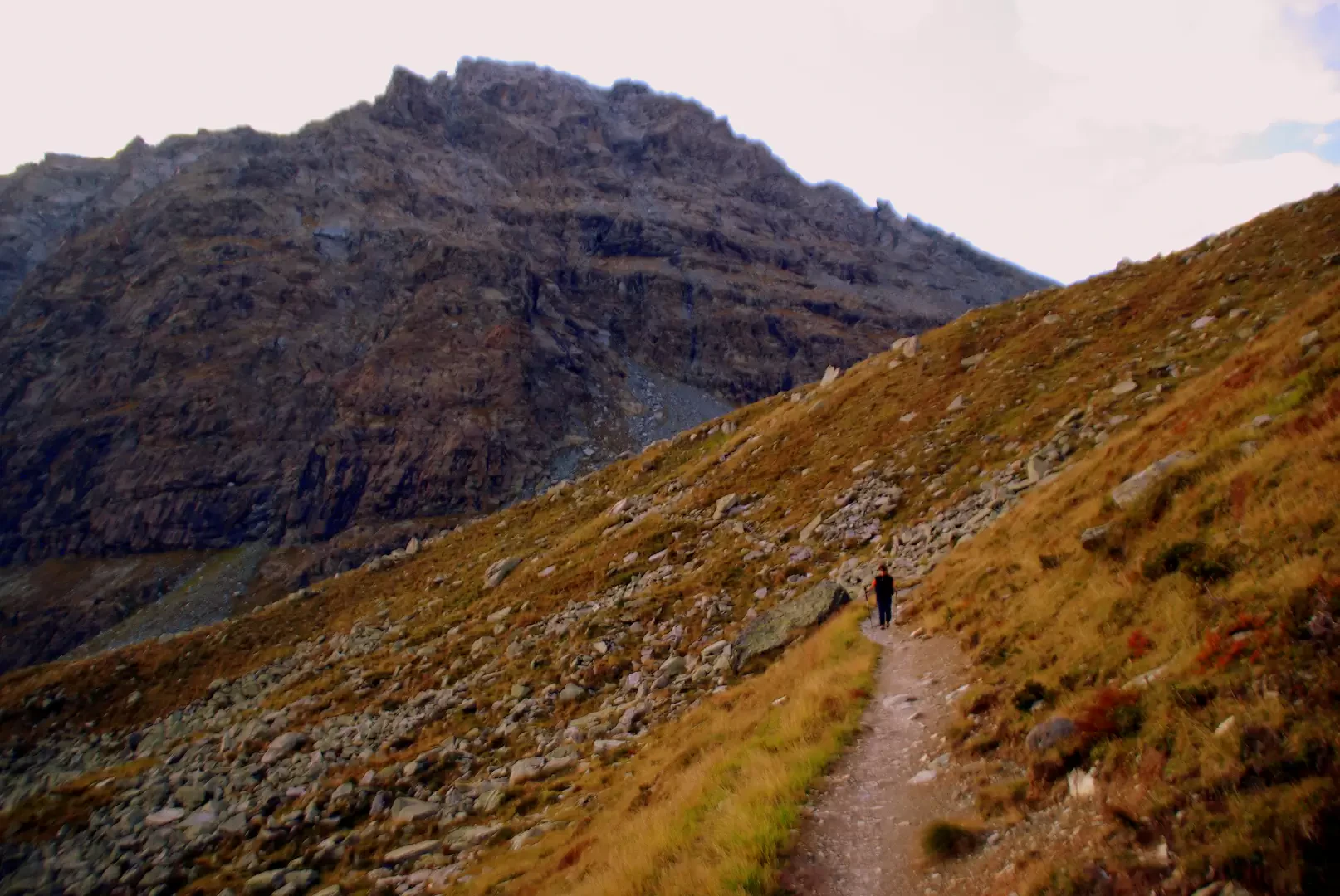
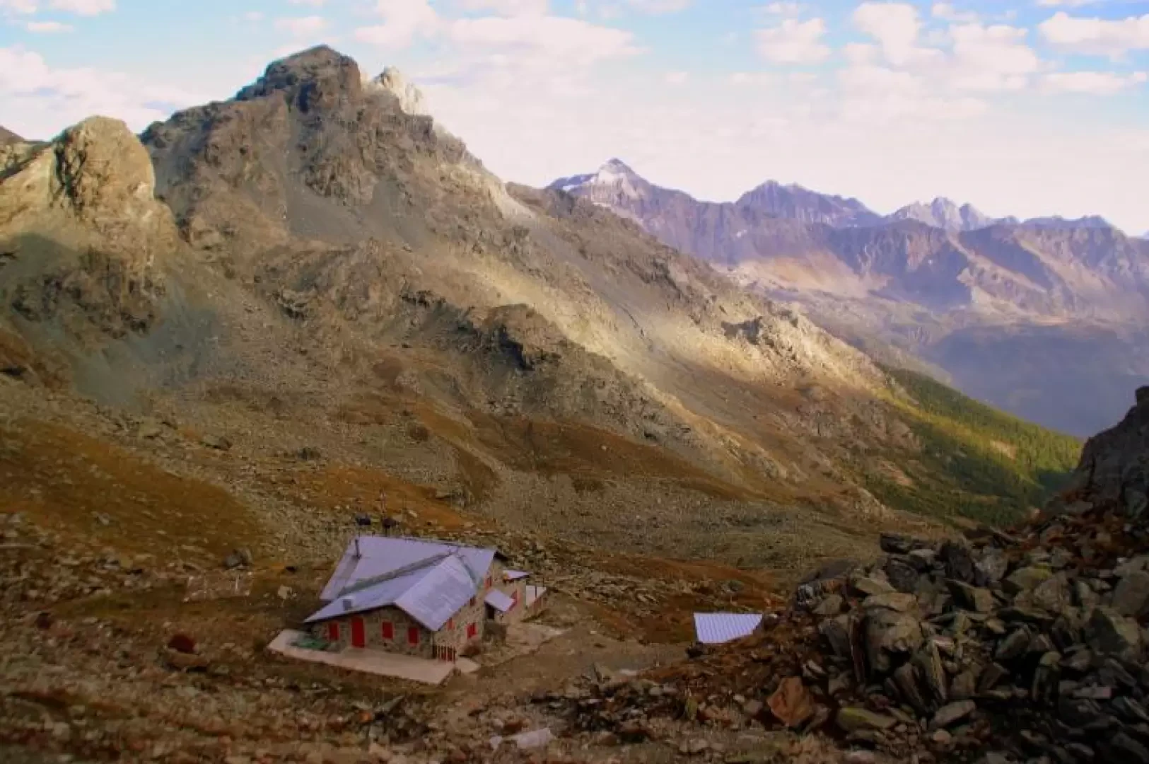
From the car park, ignoring the main road that climbs to the Campomoro dams, take the slightly downhill road on the left that heads towards the hamlet of Franscia; just before the bridge over the second stream, near a hydroelectric power station, the mule track for Alpe Foppa branches off - signposted. Walk along it for a few hundred metres, then leave it, proceeding on a level path to the left, keeping high above the gorge of the Scerscen stream. In this section, the yellow-painted signs are now very poor and the track in the grass of the sparse wood is difficult to follow: however, it is necessary to climb up through the pines a little to the left until you reach a shoulder of red mounded rocks. From here the path, more evident and better marked, continues up along comfortable and very scenic ledges. The next section - exposed, but never very dangerous when dry - leads deep into the Scerscen gorge, keeping about a hundred metres above the stream. At a stream on the right, watch out for a fork in the path: the faintest track - to the right - is the one to take [A red mark on a log on the right, along the more marked track, indicates a misdirection]. Climb up the steep, damp and grassy little valley until you reach the beautiful basin of Alpe Foppa 1880 m; walk along it for a short distance and then climb to the left between landslide blocks and large fir trees. You soon reach a recent forest track, which you follow to the left. The original path has been obliterated by earthworks. At a wooden bridge - signposted - take a small path to the left and descend steeply into the second section of the Scerscen gorge. This is a rocky corridor cluttered with boulders and lush wetland vegetation, with walls smoothed by the ancient watercourse and giants' potholes. At its end, you reach the vast esplanade of Alpe Campascio 1828 m, which you cross on tracks through the marshy pastureland until you join the beaten path of the Alta Via della Valmalenco coming from the left. At the bottom of the esplanade, some huts can be seen: next to the one furthest to the right starts the stony, steadily ascending mule track that leads in about 20 minutes to the Alpe Musella huts 2021 m. You skirt the hump with the little church and reach the huts on the alp; on the valley side, in a splendid larch wood, the path for the Vallone di Scerscen (variant of the Alta Via) branches off. After a few ascents and descents, the track enters the valley, amidst mounded rocks, scree and - by crossing two equipped bridges - reaches the dumps of the asbestos mines above. Cross the stream and ascend the entire valley on the left side; a short steep ascent leads to the remains of Alpe Scerscen, abandoned in the early 19th century due to the advance of the glacier (note the pastures covered by moraine limestone). Continuing on, you come to a fork about 2400 m: leaving the track for the Forcella d'Entova on the left, descend to the right in the direction of "Rif. Marinelli" and "Rif. Carate". Nearby is also the 'Cimitero degli Alpini', a monument to 17 soldiers who were buried by an avalanche in 1917 during a ski course at Capanna Marinelli. The - very faint - trail to the Carate Refuge is indicated by a painted inscription on a boulder. [The traverse/ascent to Rifugio Carate should only be undertaken when visibility is ideal due to the unpredictability of the route and the poor visibility of the paint markings]. Gradually descend near the stream and reach the metal bridge that crosses it, descending along the extremely landslide-prone bank. On the other bank, a decisive ascent begins across the western slope of Monte delle Forbici; having reached a shoulder of smooth serpentine slabs, the track reverses direction and goes around Monte delle Forbici itself from the north and along a friable gully leads to the first of the two Laghetti delle Forbici. On the level, we pass the second one and with a slightly uphill diagonal we reach the Bocchetta delle Forbici 2636 m. From here, the underlying and very close Rifugio Carate 2600 m is already visible. A very long series of comfortable hairpin bends across the slope known as the "Sette sospiri" (seven sighs) (moraine terraces) leads back to Alpe Musella: already touched at the entrance to the Vallone di Scerscen, now crossed in its high group of huts 2076 m. Without any signposts, take a nice track (recently widened to allow small farm vehicles to pass) that, in the woods and among mounded rocks, reaches the forest track coming from Campomoro: follow it to the left for a few dozen metres, as far as a marker post. The mule track that branches off to the right - dating from the early 1950s, with a regular gradient and long paved steps - descends in a long series of hairpin bends through the coniferous forest that dominates the Franscia basin. After skirting the Alpe Foppa clearing, the trail soon returns to the initial fork and then to the bridge at the power plant.
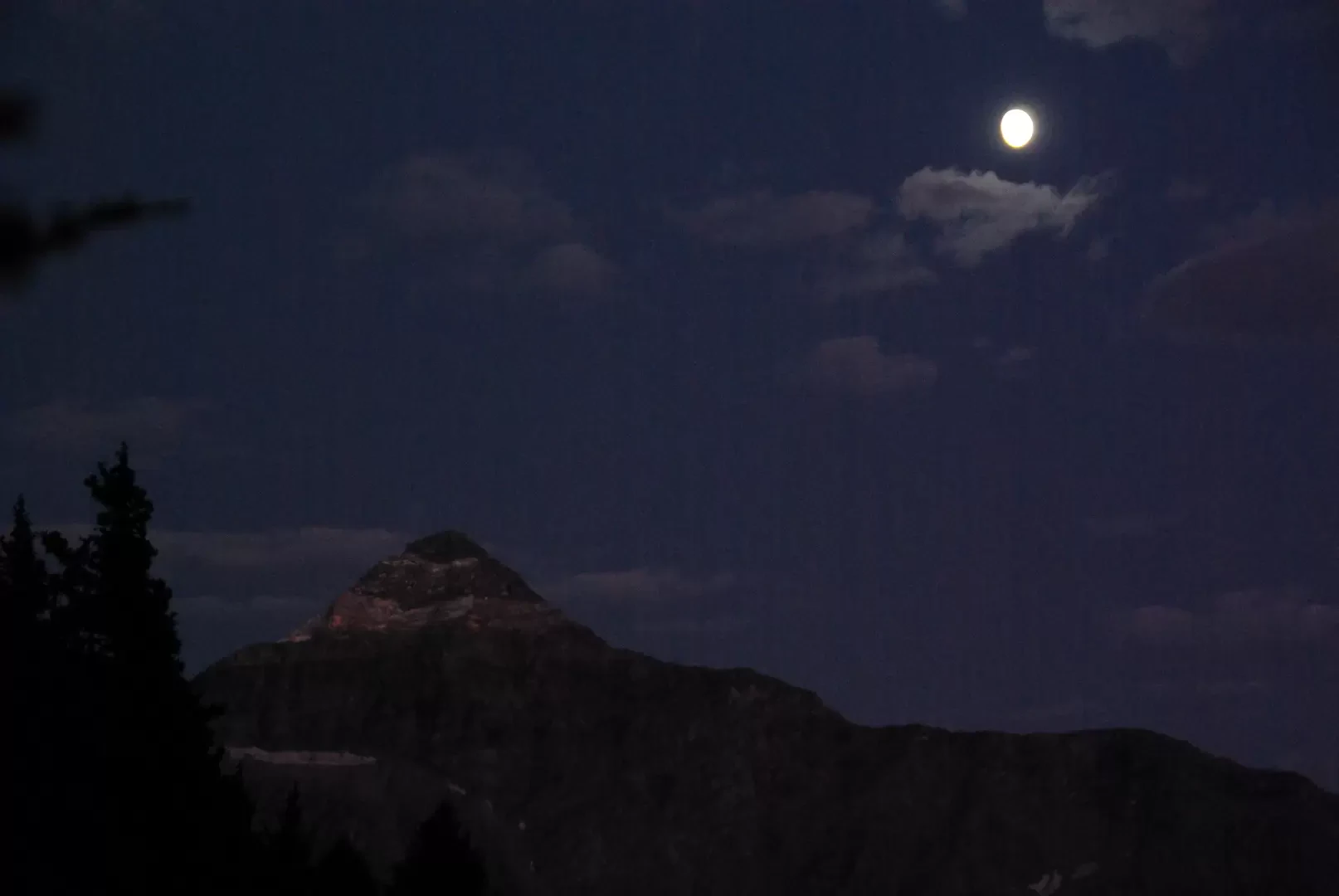
.Galleria fotografica