From the motorway exit of Châtillon/Saint-Vincent turn left and drive up the main road to a roundabout, take the second exit and proceed west on Via E. Chanoux through the centre of Châtillon, cross the Marmore stream and take first Via Menabrea to the right and then Via Martiri di Chesod before turning onto , the second exit at the characteristic roundabout with the Matterhorn in the centre.
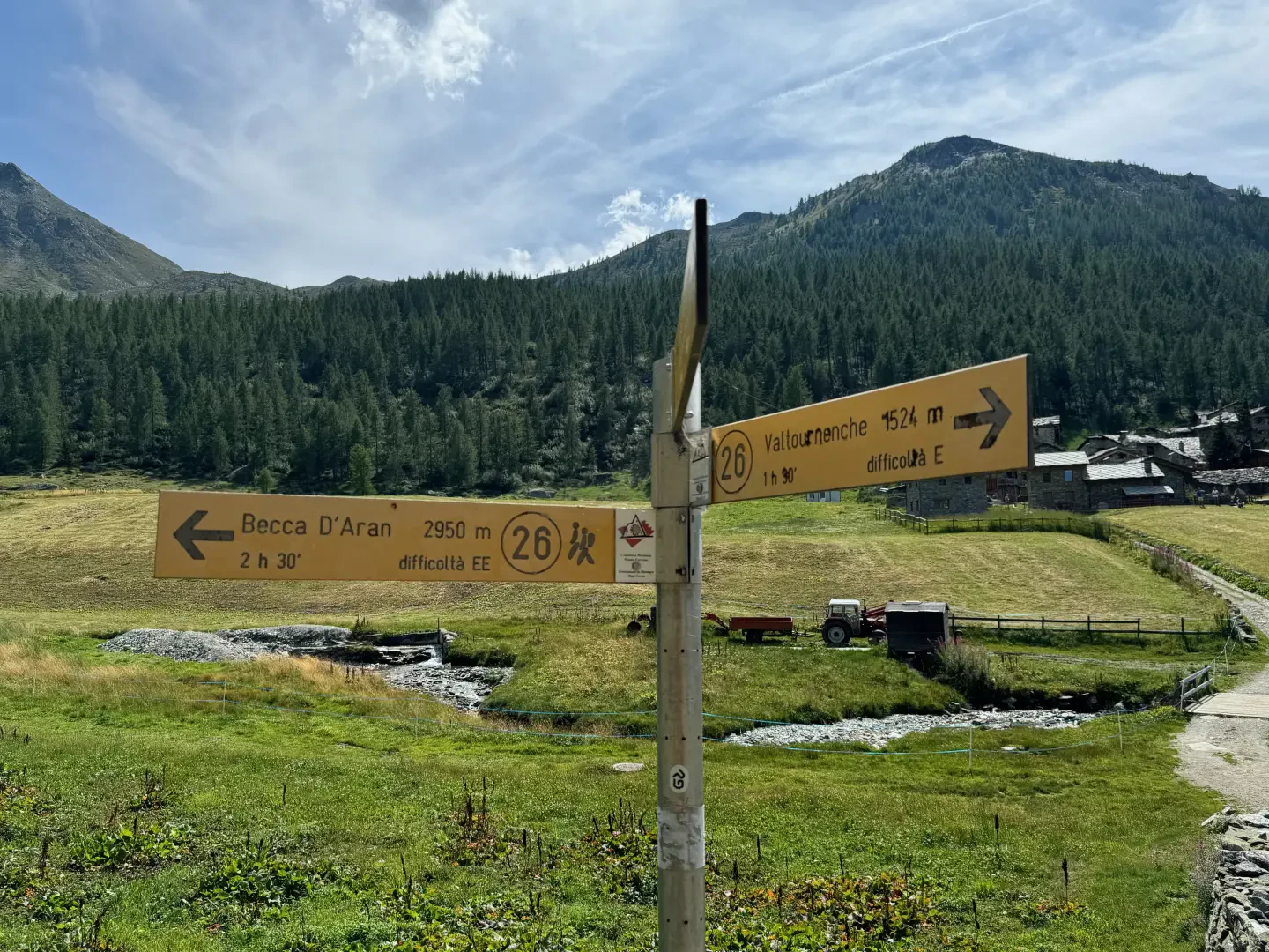
Follow the regional road for 18.7km as far as Valtournenche where, towards the end of the village at Hotel des Neiges, turn right and climb up the municipal road to Cheneil. Follow the road for 6.5km until you reach the 🅿️ car park in Barmaz, the starting point for the hike.
The car park is ample but given the busy nature of the area it is advisable to arrive early enough on busy days to avoid having to leave your car further down the hill.
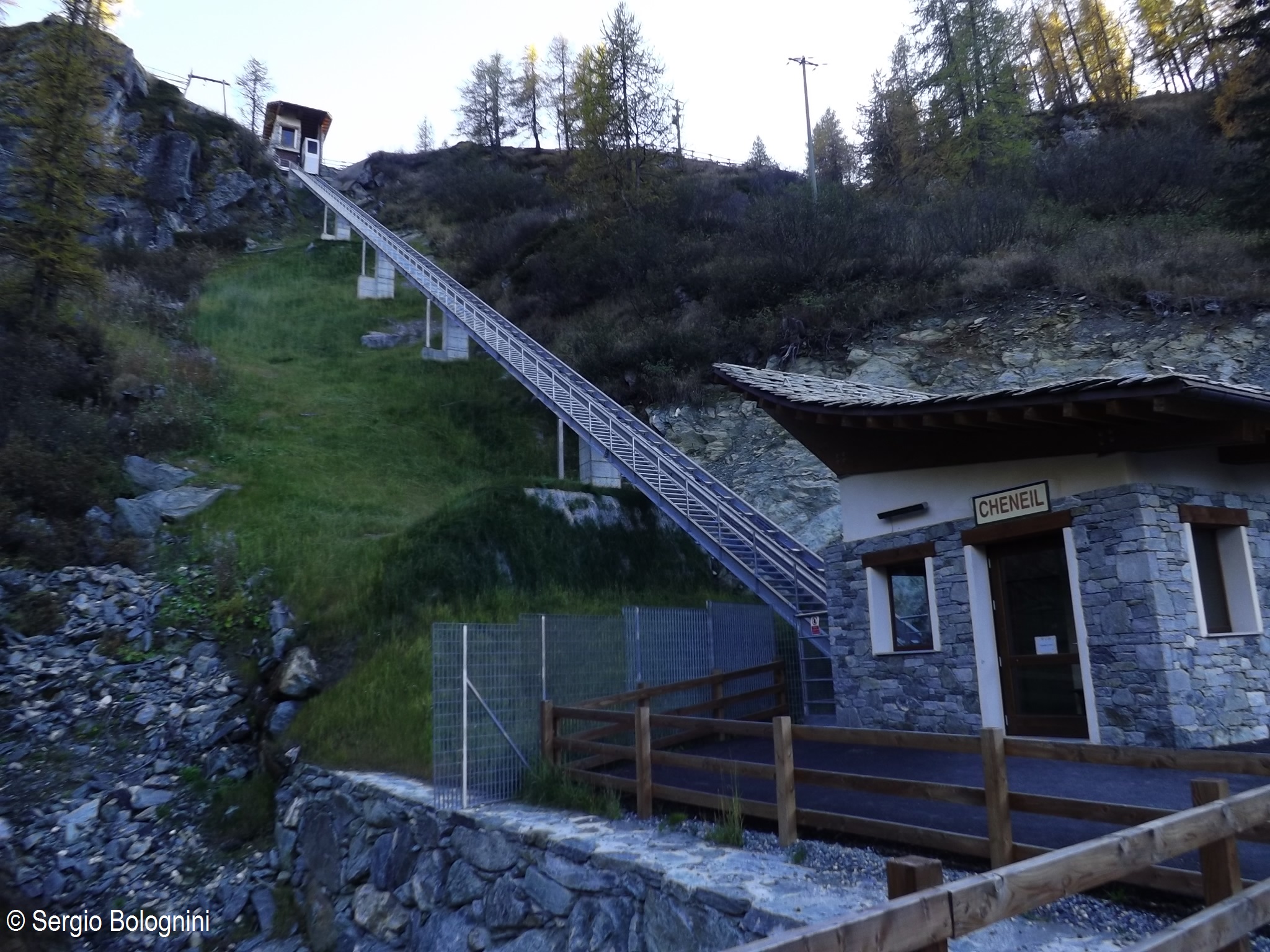
Just beyond the start of the hike there is a tourist lift, which is always in operation and allows you to save 50m on the ascent.
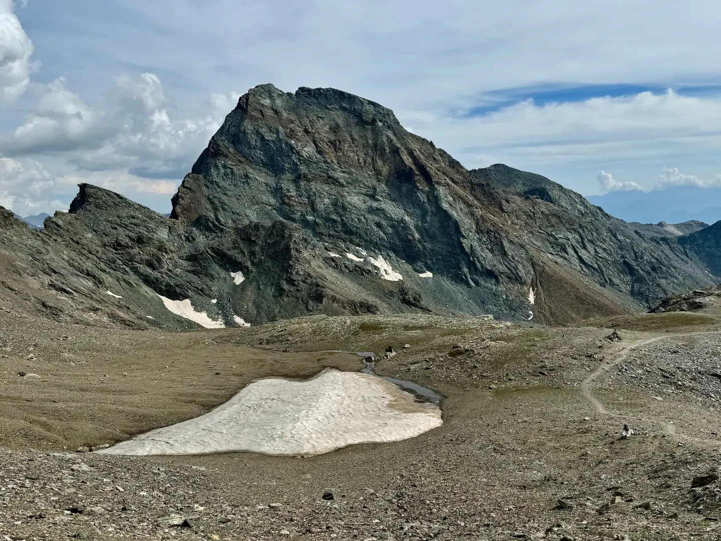
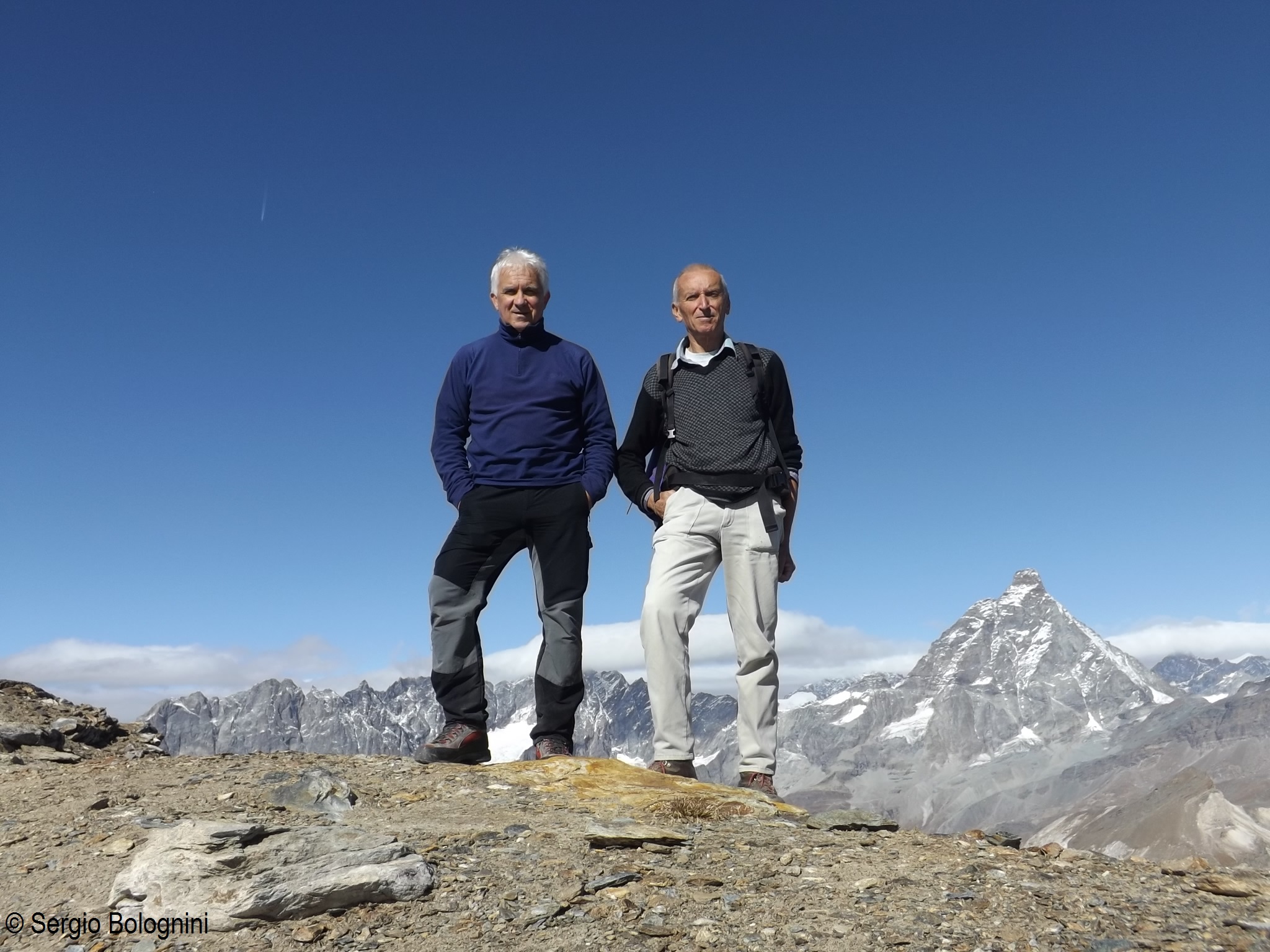
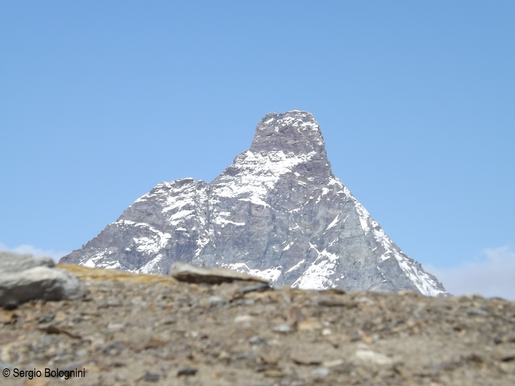
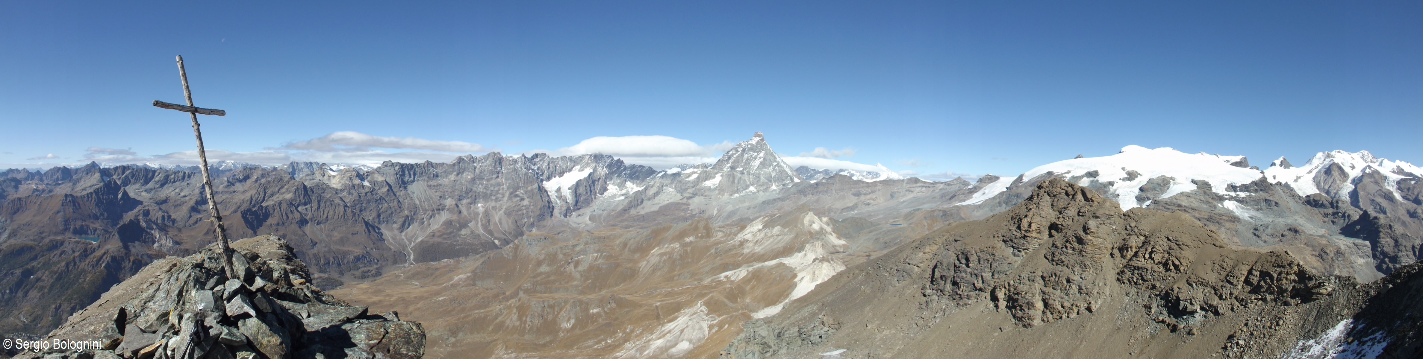
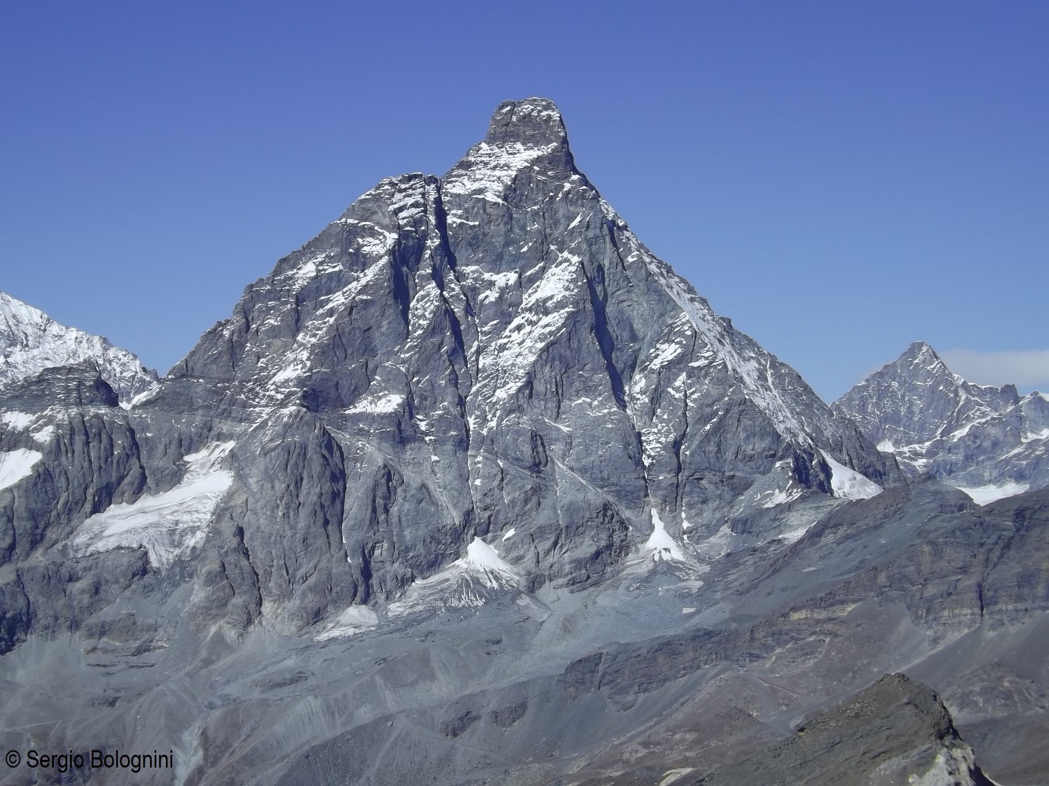
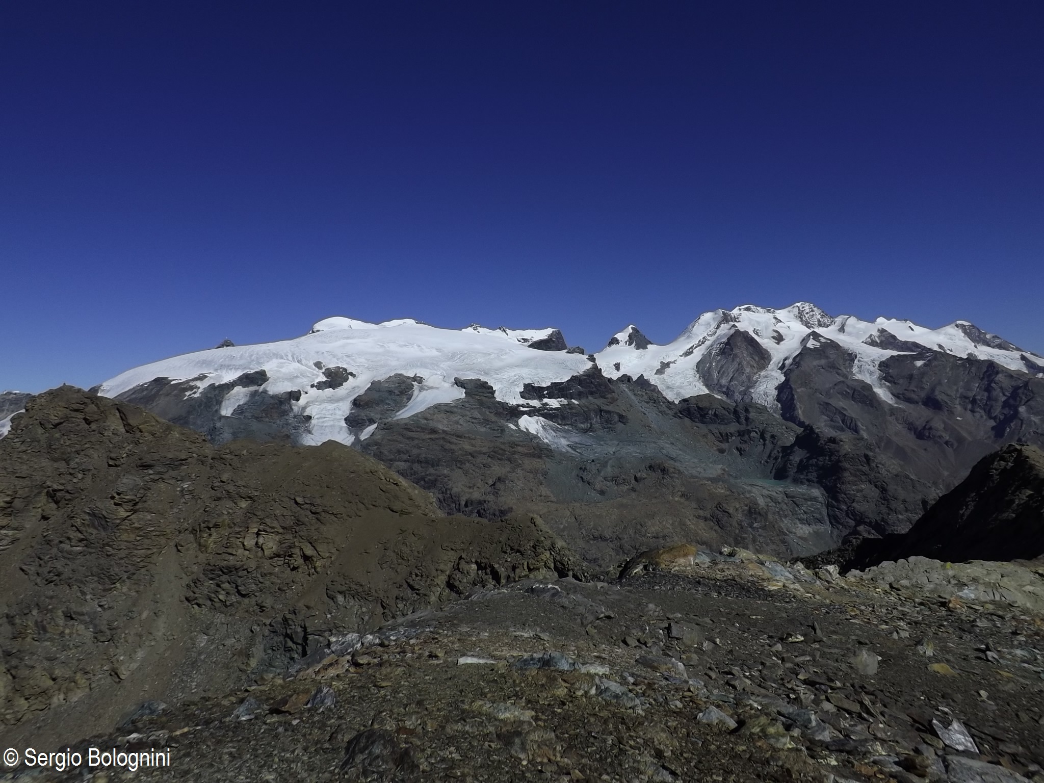
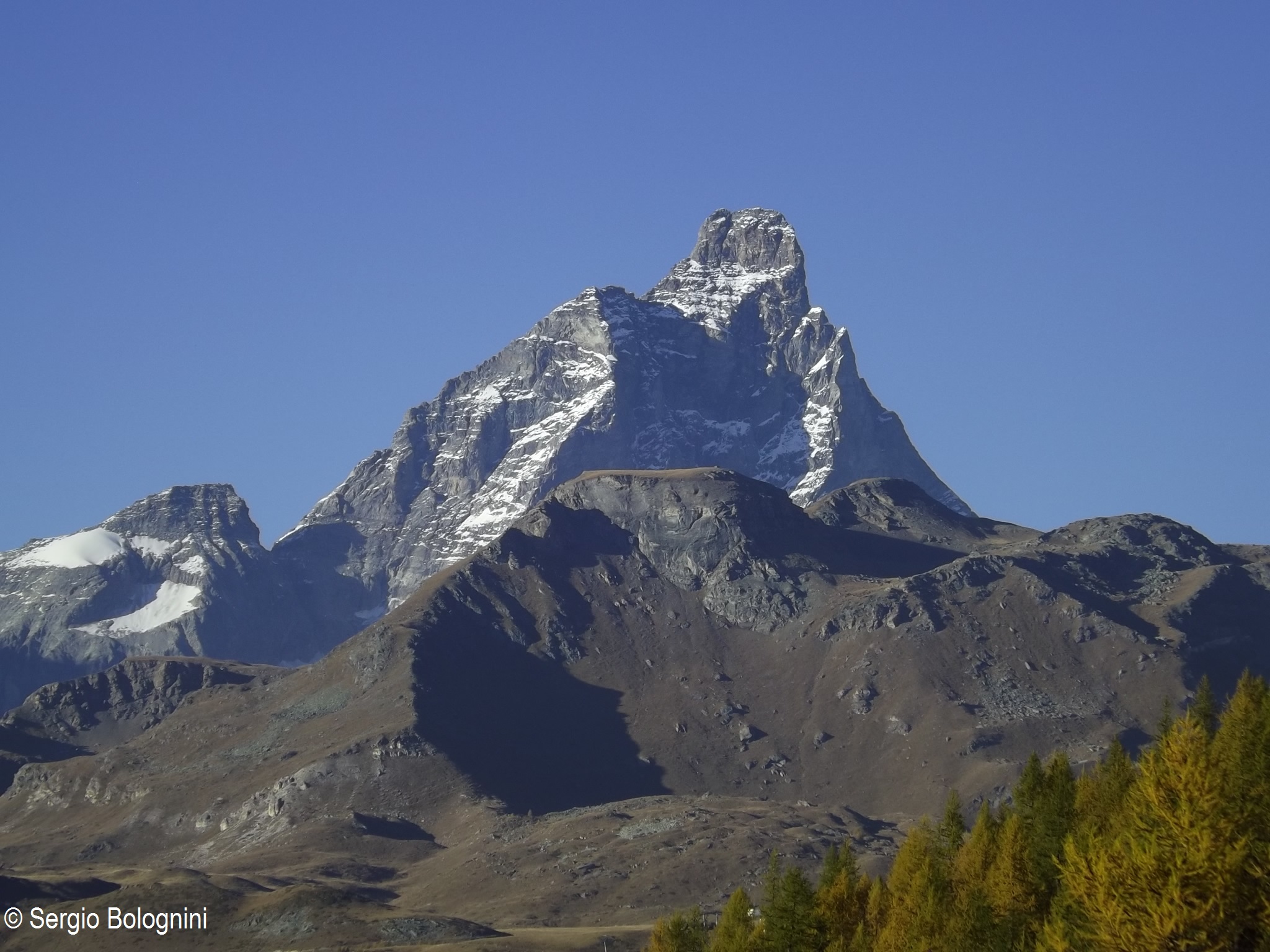
Splendid excursion to one of the highest excursion peaks in Valtournenche. From the summit, you can fully appreciate the view of the undisputed lord of the valley: the Matterhorn.
Description
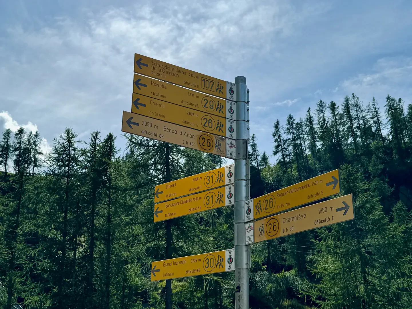
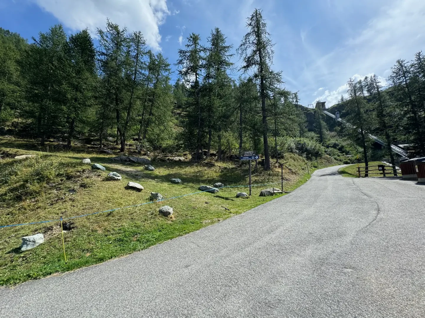
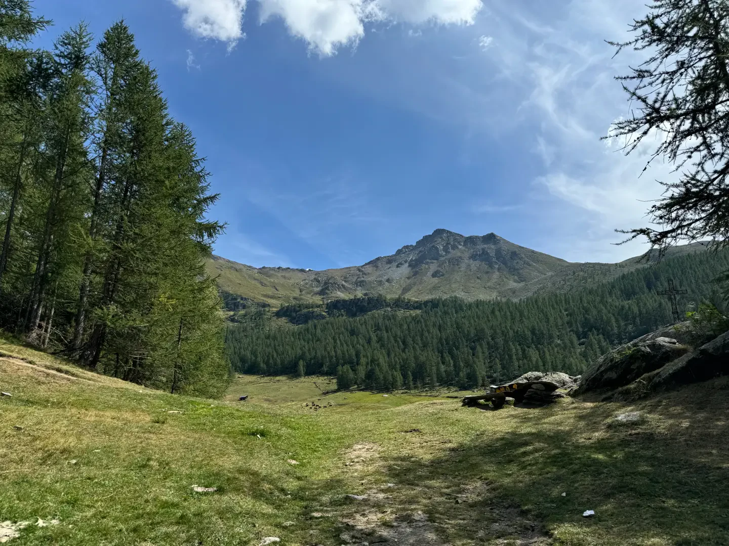
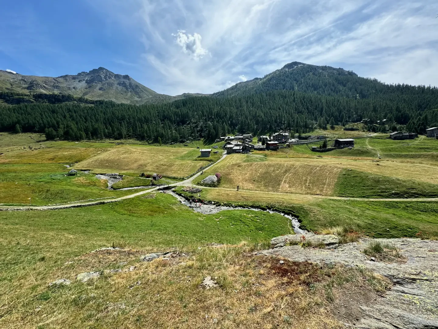
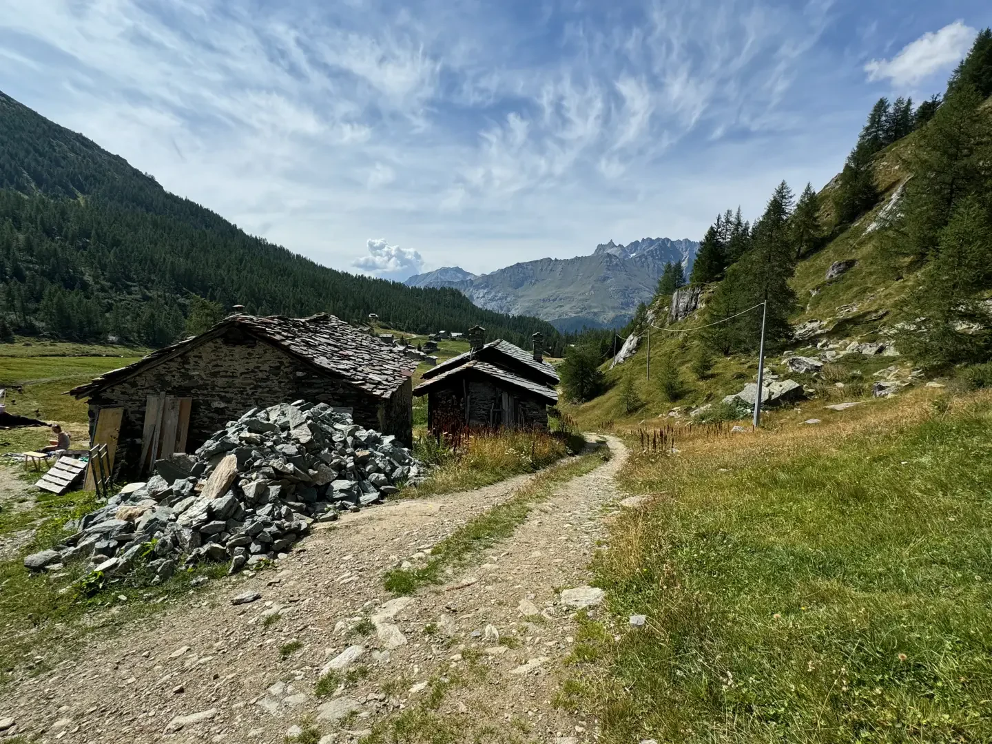
0h00' Leaving the car, take the wide mule track that departs to the right of the car park; after a few dozen metres, turn right passing the Torrent de Cheneil. Climb up the comfortable mule track until you reach the pleasant plateau of Cheneil. Here we proceed in the direction of another small bridge that makes us cross the stream again and join the path coming from Valtournenche. We turn right, following the indications of a marker post, and begin to climb up the wide path to the small village of Château (2131m).
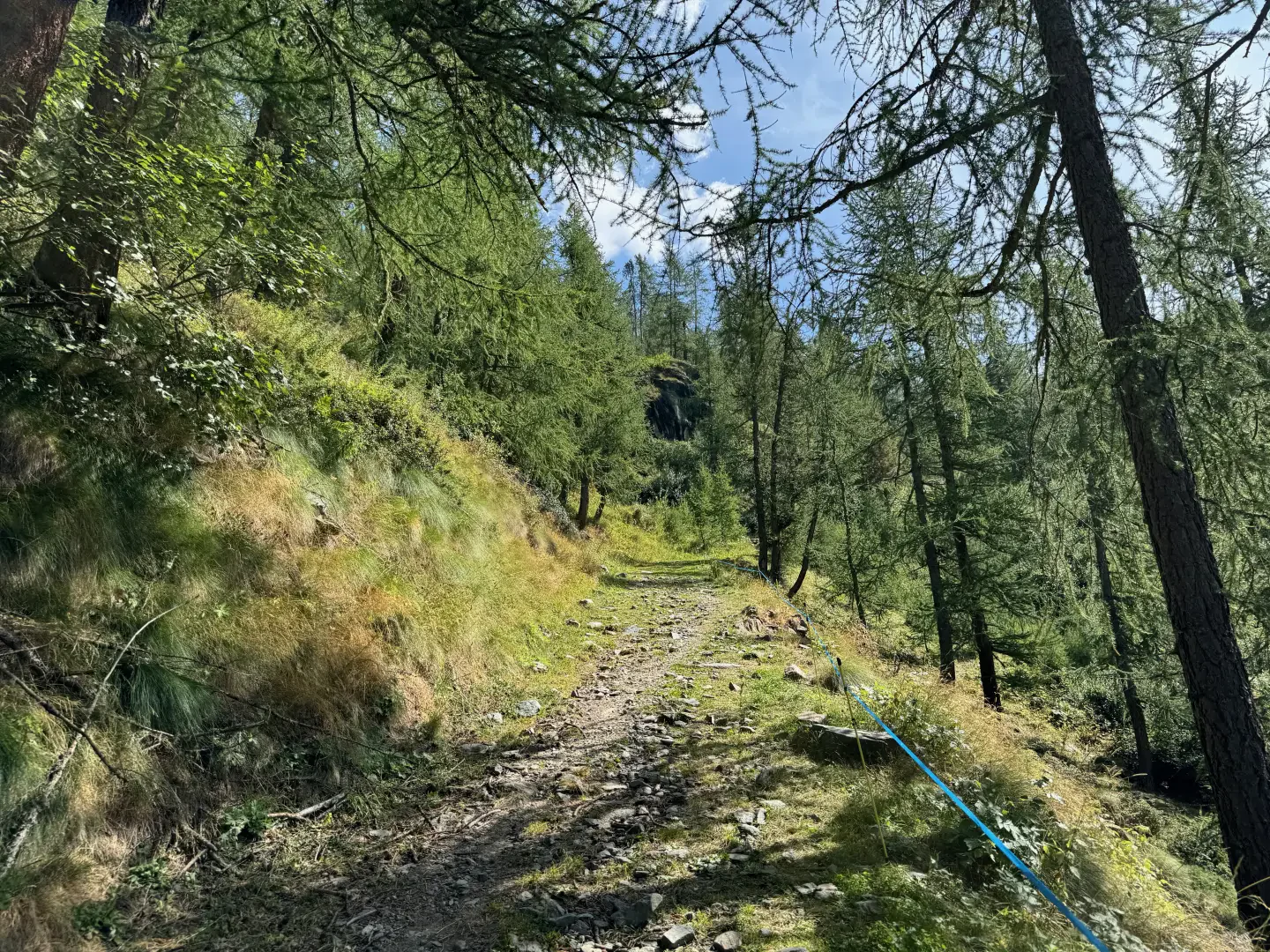
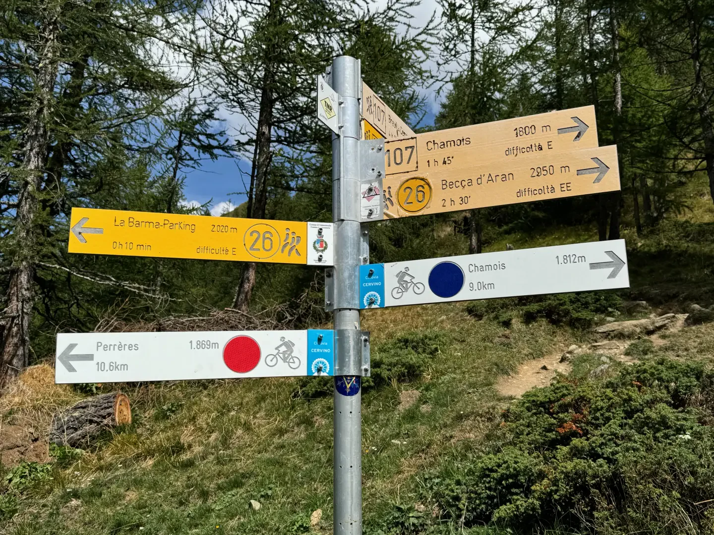
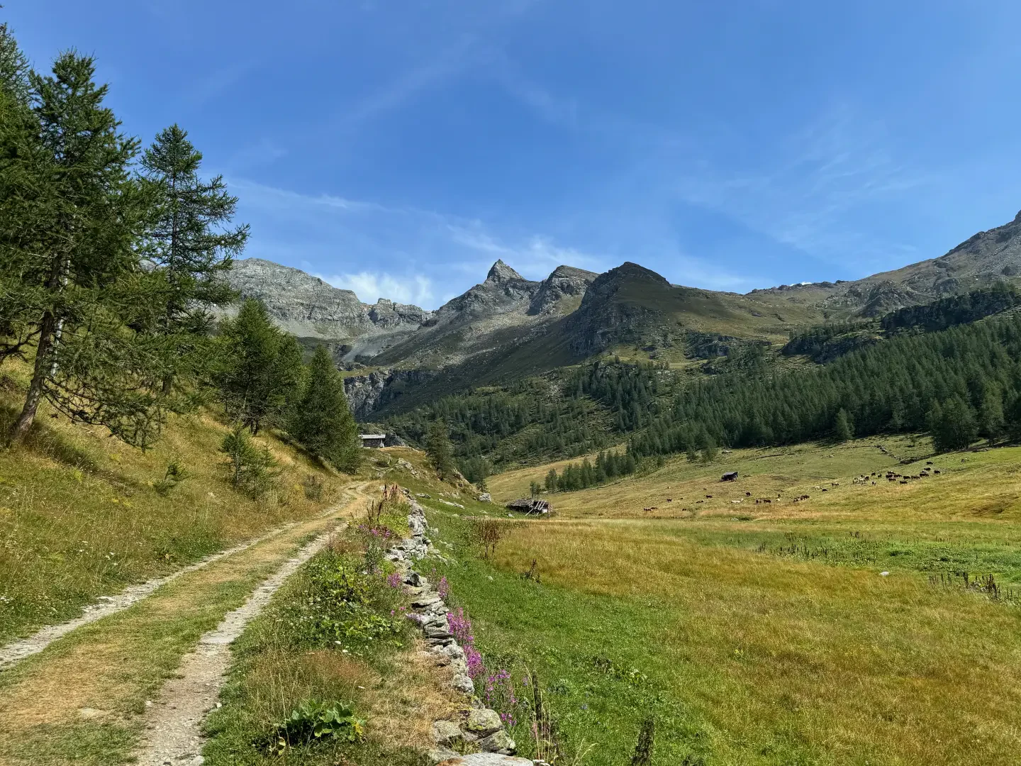
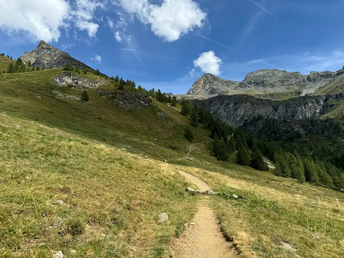
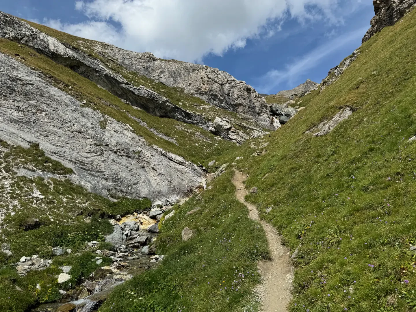
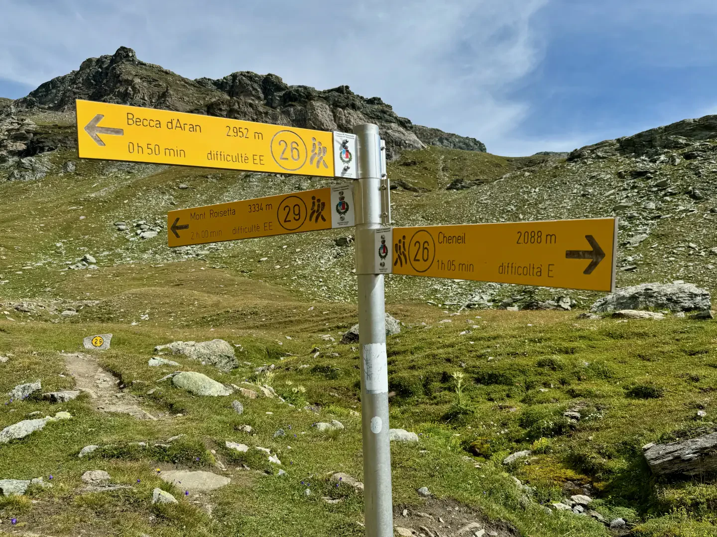
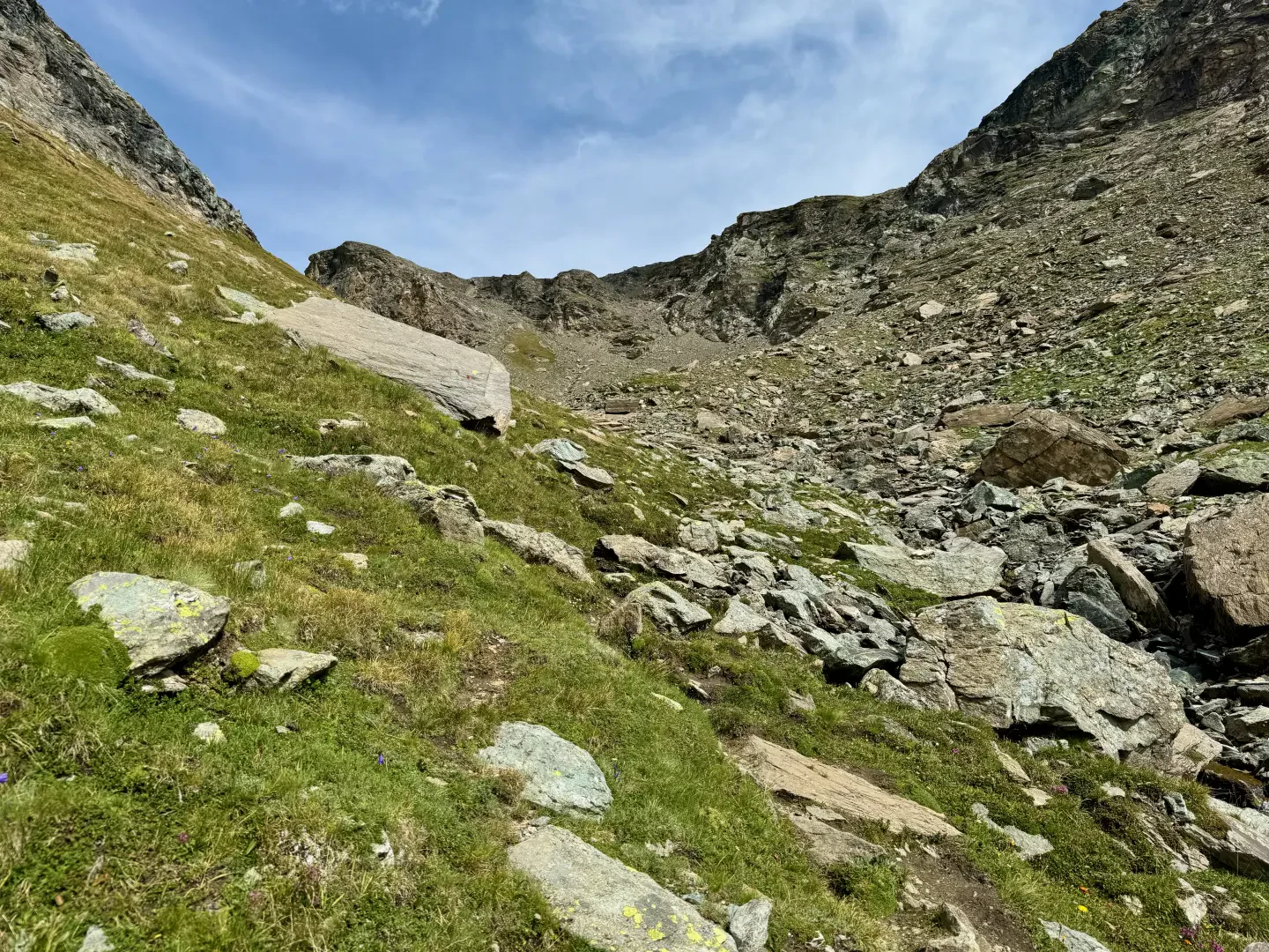
0h15' From here we proceed along the half-steep path that cuts across the grassy slopes of Mont de Molar. Having passed a small tear, passing under a fine larch tree, you come to a quieter section that leads close to a stretch of paved mule track: go straight ahead, ignoring the mule track that leads to the Comba di Cheneil. Go over a hairpin bend to reach Aran (2,325m, 0h50').
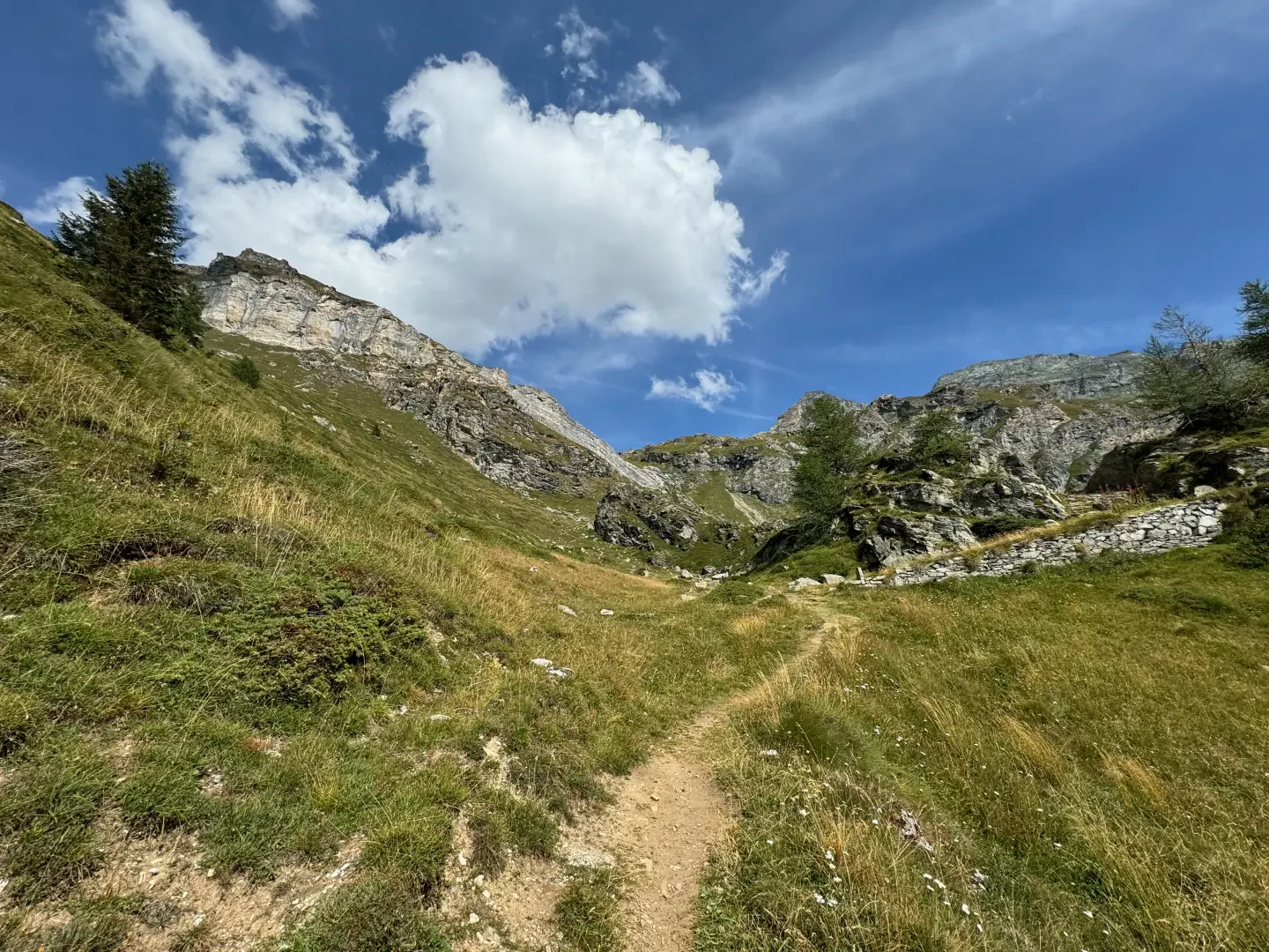
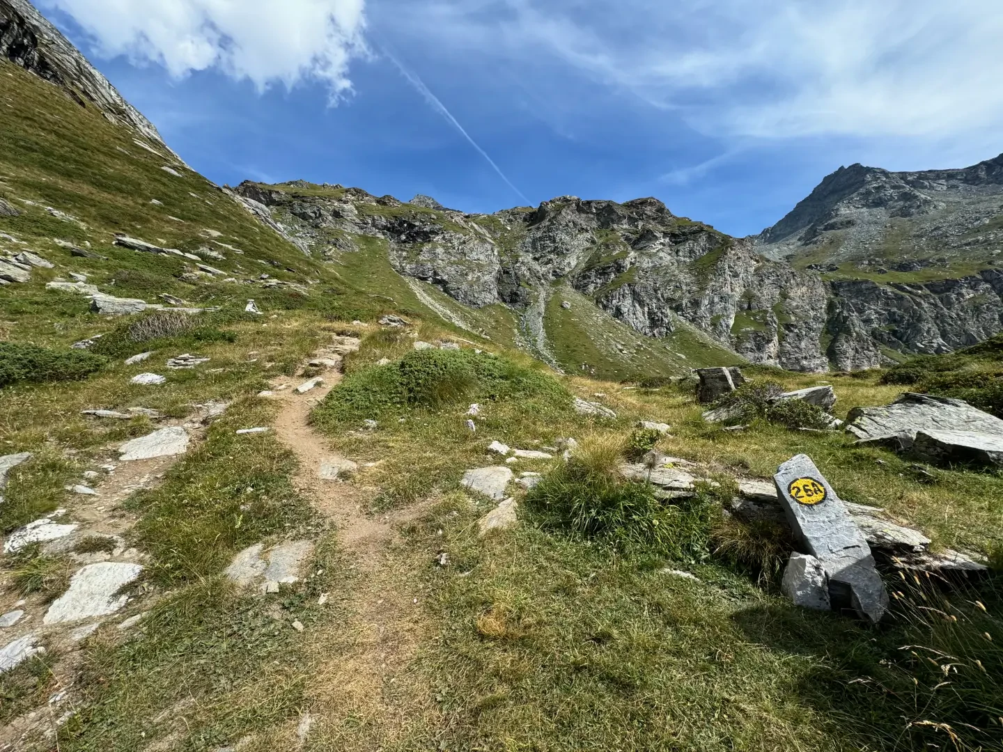
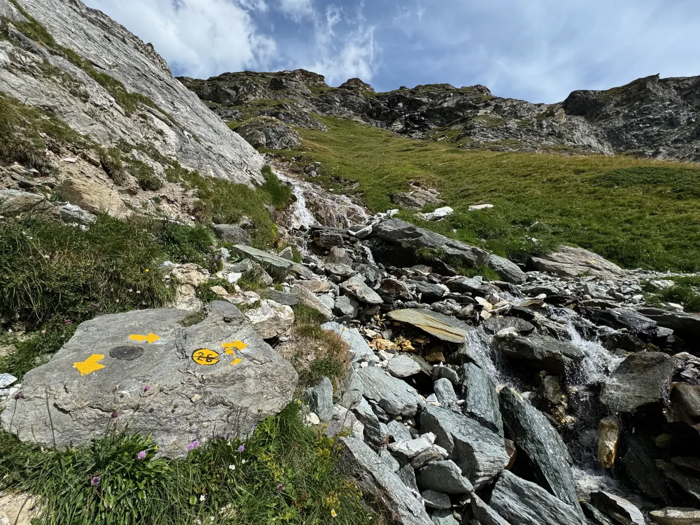
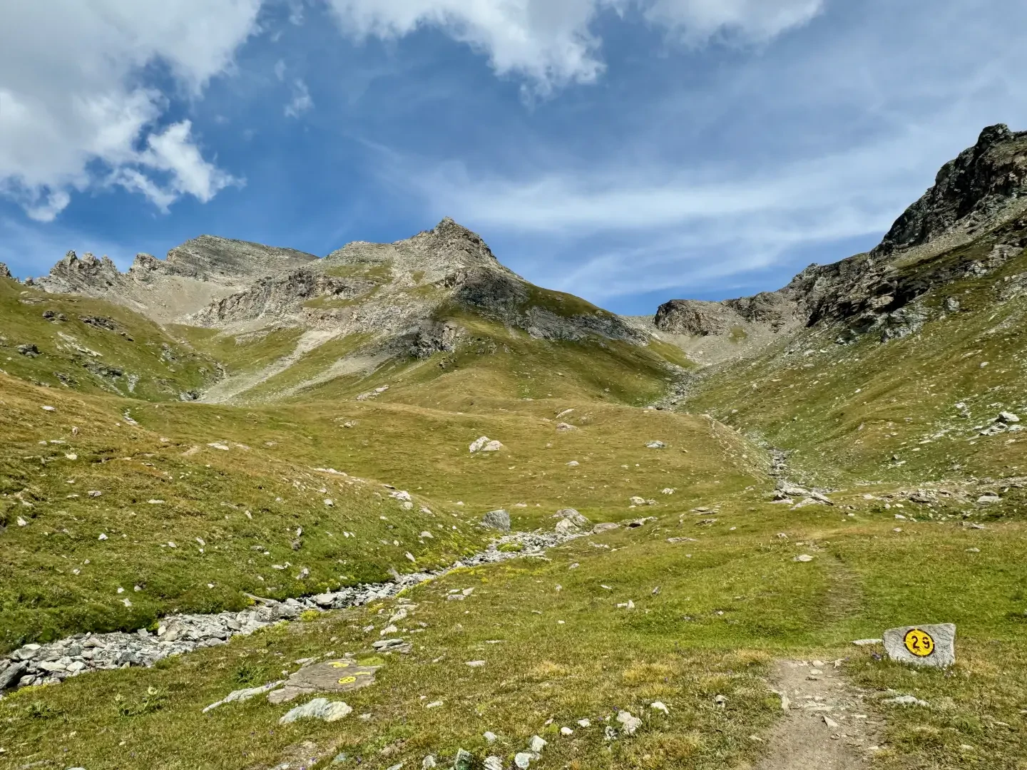
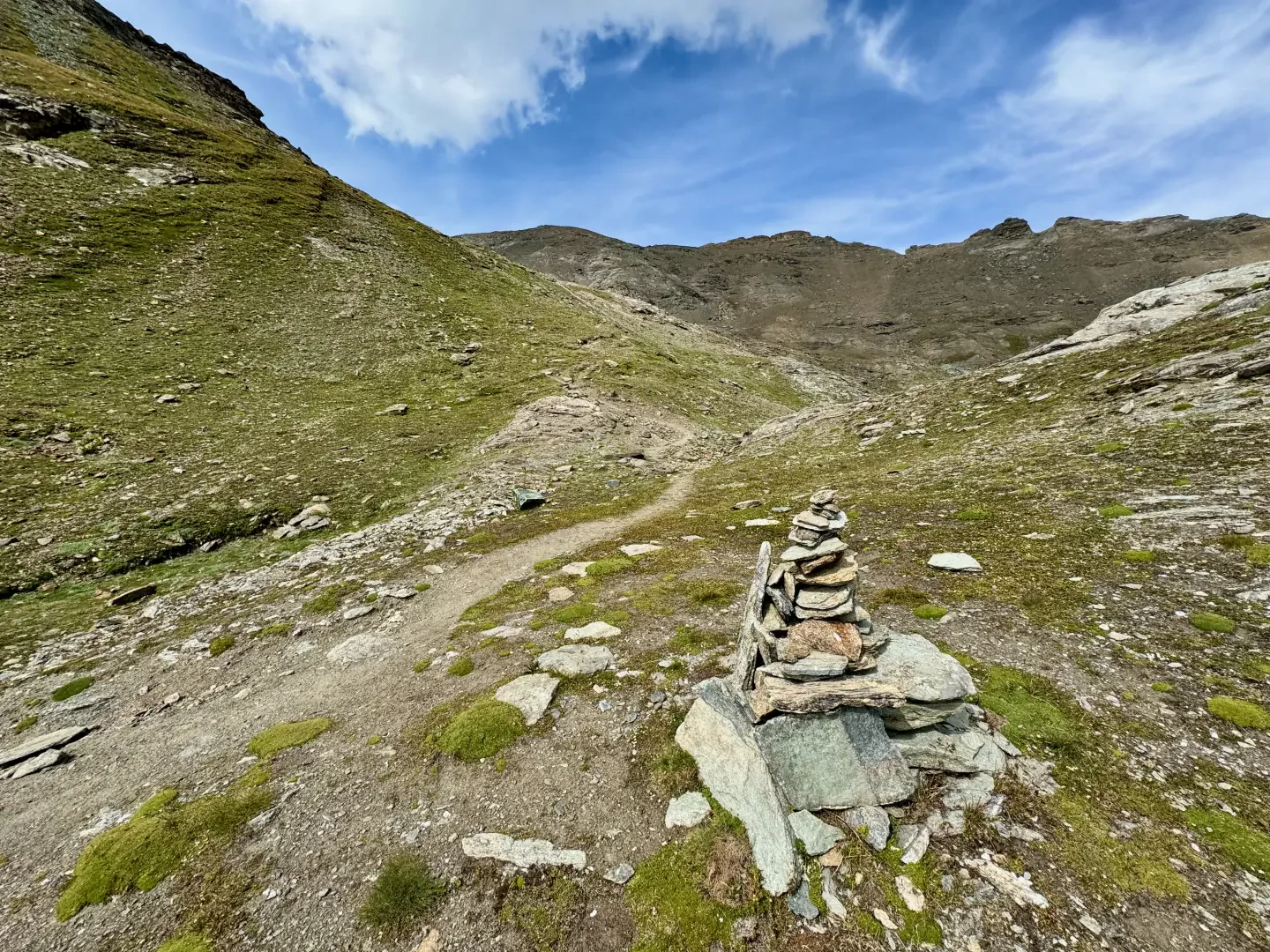
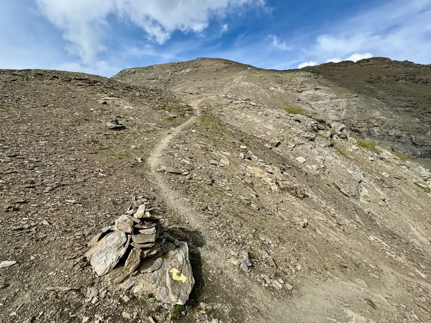
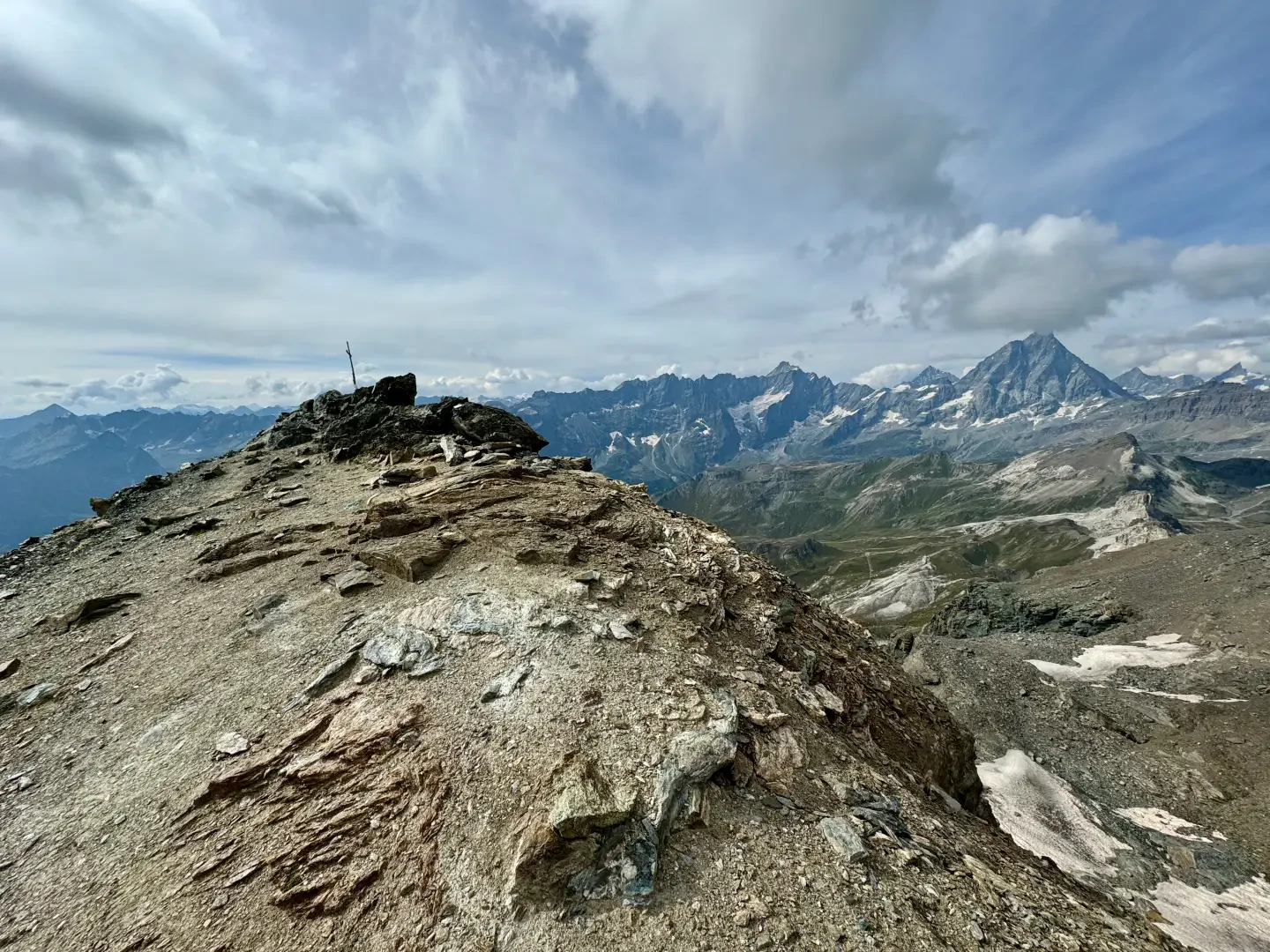
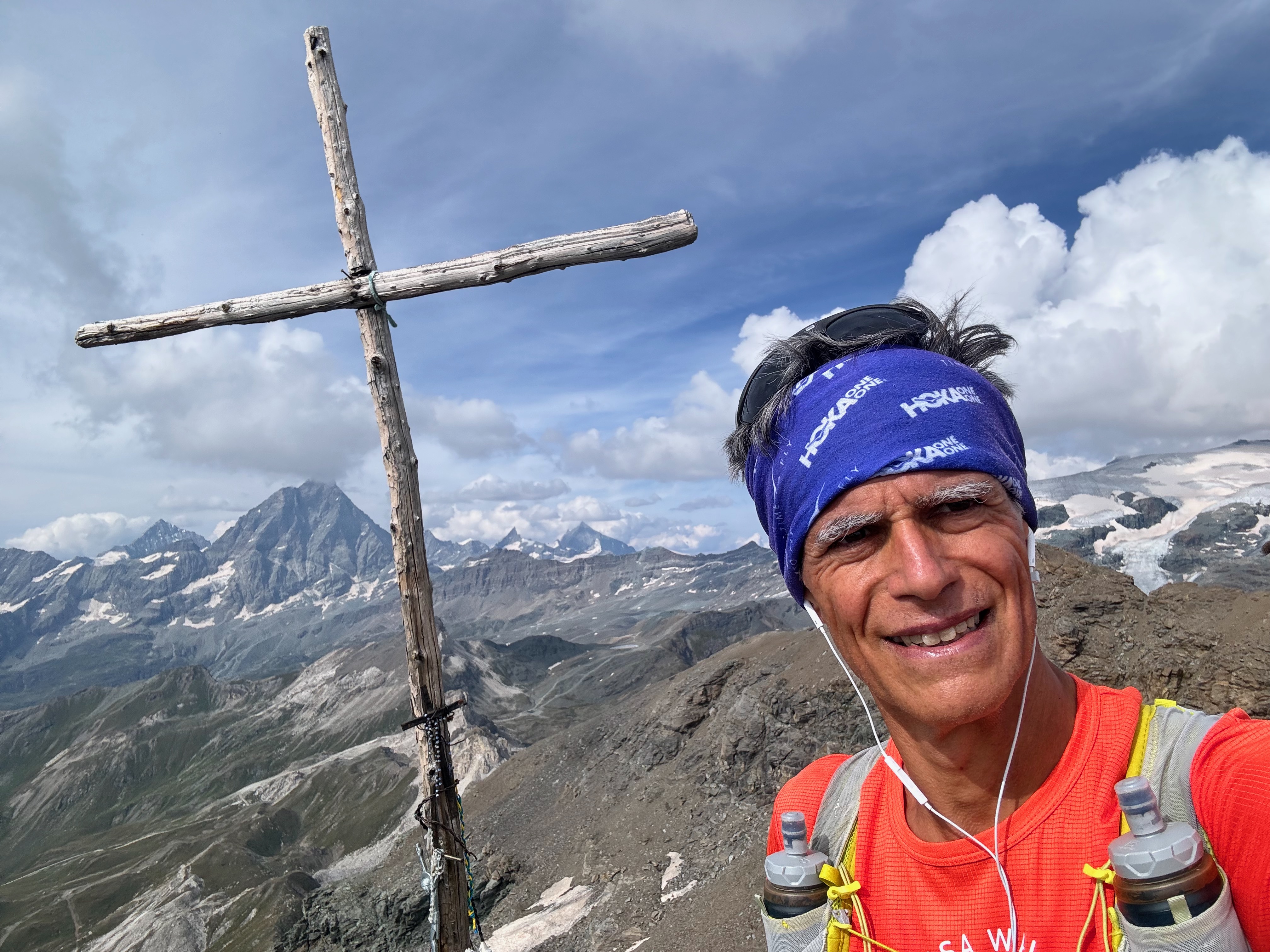
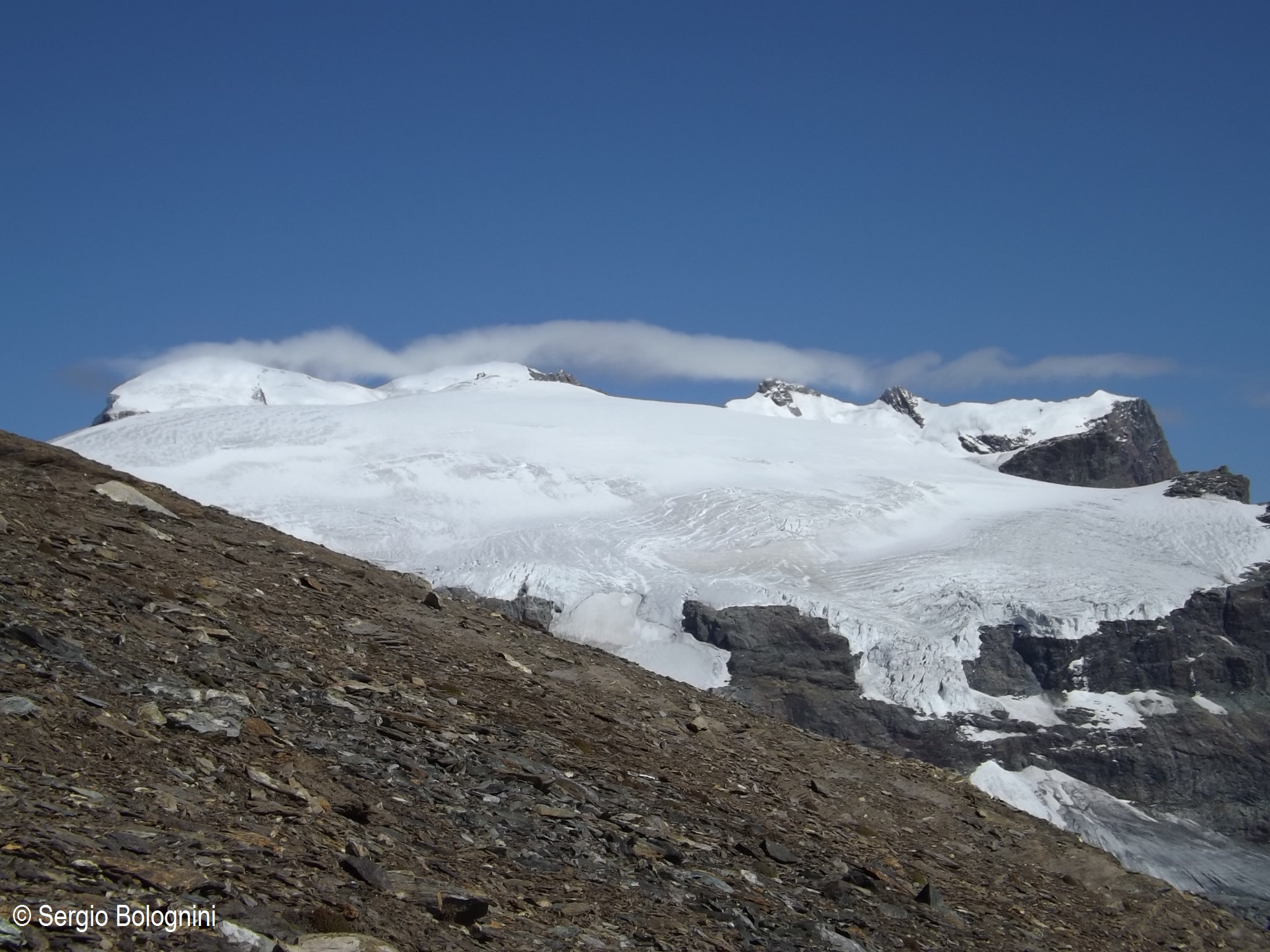
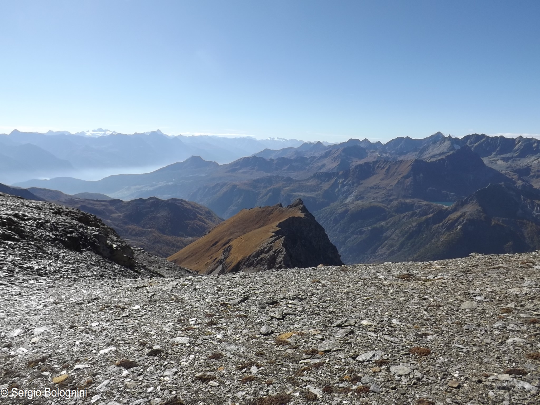
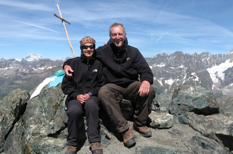
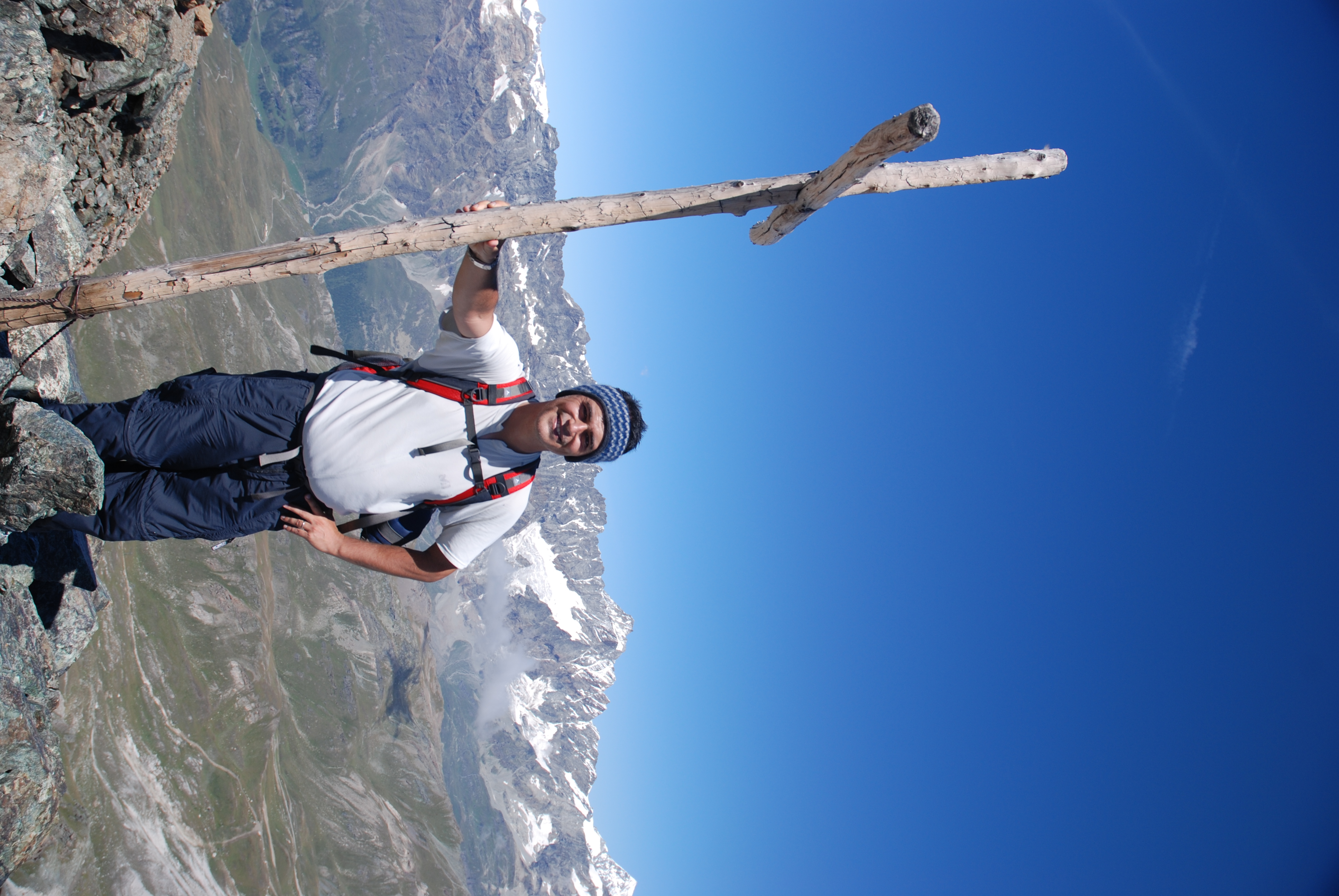
From here, the path climbs towards a narrow gorge; cross the stream and start climbing up the steep slope until you reach the edge of the small waterfall formed by the stream at the beginning of the gorge. After a few uncomfortable steps, continue on the easy path until you come to the marker indicating the fork to Becca d'Aran (2953m, 2h00') at the point where the two valleys below Roisetta branch off. Disregard the diversions to the left and start climbing again, gradually entering the valley on the right. The path slowly leaves the last offshoots of alpine grassland and begins to cross the detrital environment of the macereto. After a series of twists and turns, you come to a sign advising you to follow the cairns and, shortly afterwards, enter the glacial basin of the former glacier, which has now disappeared. Now proceed to the left, overcoming a short detrital slope until reaching a saddle (3108m) straddling the two valleys. The summit is now visible, continue along the scree slope following the clear track of the path, which, with a series of twists and turns, leads fairly quickly to the edge of the wide final ridge. The last stretch is taken diagonally to the left, aiming for the wooden cross that marks the summit of the antecima of Mont Roisetta (3324m, 3h30'). The actual summit is just opposite: but reaching it is not very easy because of the risky, unstable, detrital ridge to be traversed. For this reason, it is preferable to stop at the antecima, which is extremely scenic and worthwhile. The descent is along the same route as the ascent (2h00').
Mont Roisetta - punta sud, anello dal parcheggio di La Barma
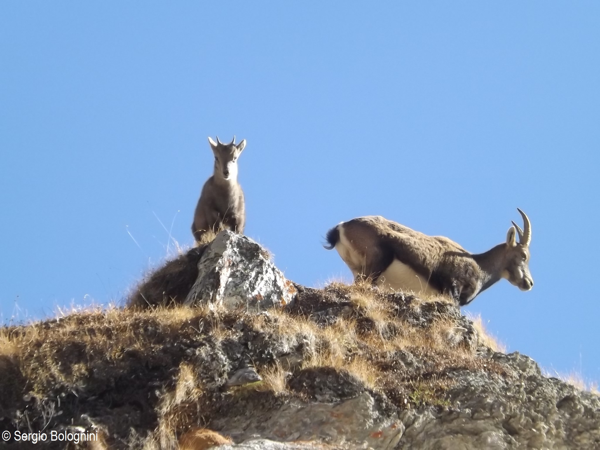
Sgroppata pomeridiana per ritornare sulla Roisetta dopo 17 anni. Bella salita con frequenti incontri di stambecchi. Per la discesa ho optato la variante del sentiero
sempre bella e scenografica.
Splendida escursione ad una vetta con panorama favoloso, soprattutto sui vicinissimi Monte Rosa e Cervino. In realtà la vetta più alta è quella nord ma, considerando le difficoltà per raggiungerla ( alcuni tratti sono decisamente pericolosi, esposti e con terreno friabile e scivoloso ), si può considerare l'escursione terminata senza alcun rimpianto, già a questo punto. Il sentiero, ottimamente segnato, è piuttosto ripido e, soprattutto in discesa mette a dura prova le ginocchia. Cheneil è un posto veramente incantevole. Speriamo rimanga tale anche dopo la costruzione di un ascensore che lo raggiunge dal sottostante parcheggio ( oggi era fermo per manutenzione), e di una strada asfaltata di accesso alla conca.
Informazioni generali
Condizioni via o sentiero:sentiero sempre evidente con ottimi segnavia Pericolo Oggettivo:nessuno Tratti esposti:nessuno Rischio valanghe: Affollamento: nessuno
Condizioni meteo
Cielo:sereno Temperatura:gradevole soprattutto in relazione alla stagione Condizioni neve: Condizioni ghiacciaio:
Avvistamenti
Fauna: stambecchi, aquile, corvi. Flora: genzianelle fiorite ( a metà ottobre...)
gita ripetuta dopo diversi anni. Il panorama dalla vetta è assolutamente straordinario. Data la giornata piuttosto limpida si poteva vedere di tutto, persino il Monviso che occhieggiava nella sua maestosità. I segnavia si perdono facilmente, ci sono delle paline monche, segnali a terra non sempre chiari, ma prestando attenzione ci si arriva. L'ultimo tratto era completamente pulito dalla neve e il sentiero, ancora umido, ha facilitato la salita.


Comments (0)
Sign in to leave a comment