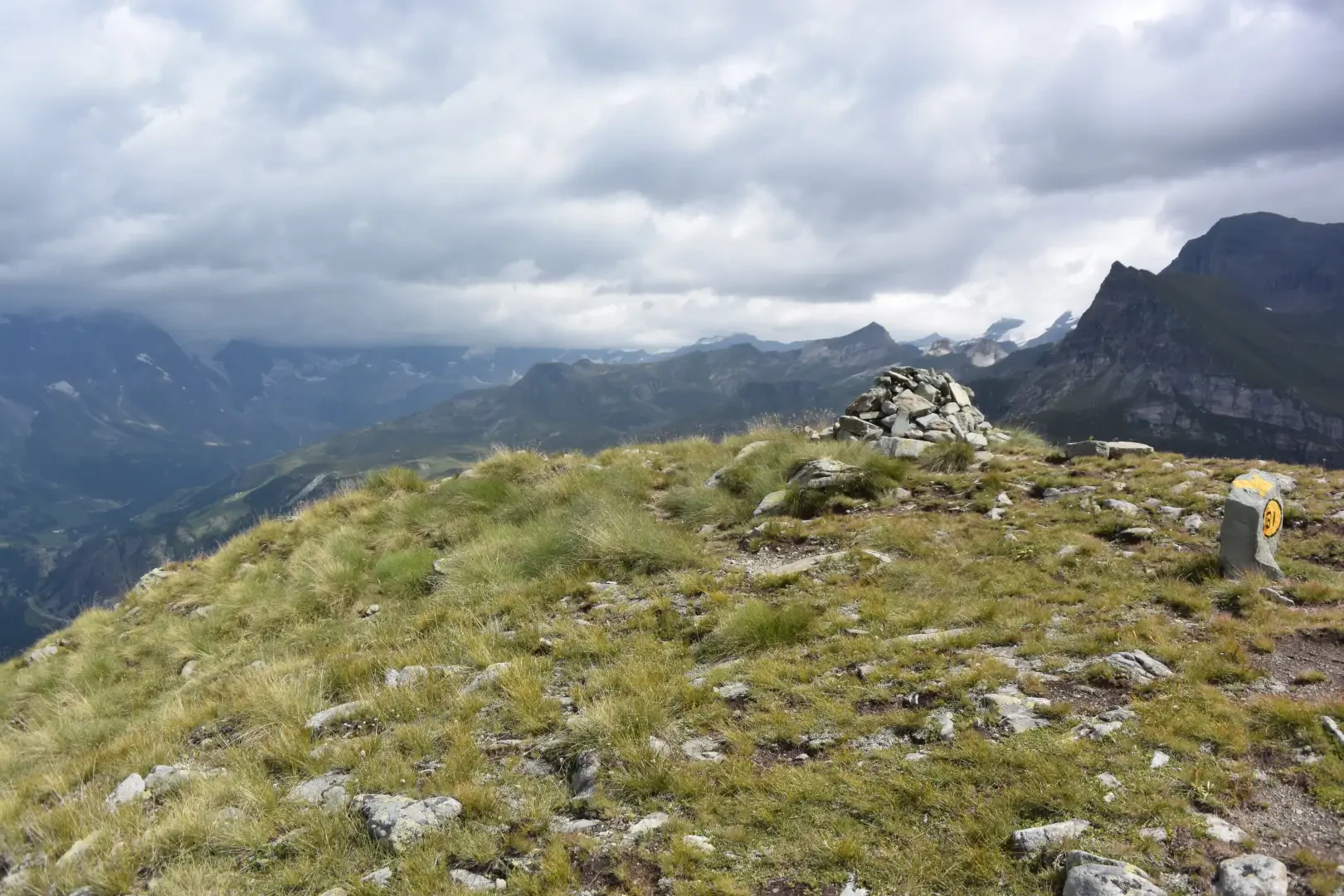
Pointe de Fontana Freida, from La Barma car park

Access
Leave the motorway junction at Châtillon-Saint-Vincent, turn left and continue for approximately 300 metres to the roundabout. At the roundabout, take the third exit and turn onto Via Emile Chanoux. Drive along Via Emile Chanoux for 600 metres, crossing the historic centre of Châtillon, and turn slightly right onto Via Menabreaz. Continue for 450 metres to the roundabout with the "Matterhorn" monument in the centre, and take the second exit to enter the regional road in the direction of Valtournenche.
Continue along the regional road for 18.7 kilometres, passing through the municipality of Antey-Saint-André. When you reach Valtournenche, pass through the town centre, and at Hotel des Neiges, turn right and go up the municipal road to Cheneil. Follow the road for 6.5 kilometres to the 🅿️ car park in La Barma, the starting point of the hike. The car park is large, but due to the large number of people, it is advisable to arrive early enough on peak days to avoid having to leave your car further down the ascent road. Just beyond the starting point there is a tourist lift, always in operation, which saves 50 metres of ascent.
[0h42'] - [26.9km]
How to get there with GMaps
How to get there with Apple Maps
The directions provided have been carefully checked as of the date the route was taken. However, it is highly recommended to check for any changes that may have occurred since then, especially regarding the route to the starting point. Before embarking on your journey, it is advisable to consult up-to-date navigation tools for accurate and up-to-date directions. We recommend the use of satellite navigation apps, such as Google Maps or Apple Maps, to ensure the most accurate and safe route.
Introduction
The hike to the Pointe de Fontana Freida from Cheneil, located in the beautiful setting of the Valtournenche, is an ideal itinerary for mountain lovers wishing to explore breathtaking views and trails surrounded by nature. Starting from the characteristic village of Cheneil, you follow a trail that winds through alpine pastures, forests and short rocky stretches, offering a unique view of the surrounding peaks and the majesty of the Matterhorn. This route offers a hiking experience of medium difficulty, perfect for those seeking a day of adventure and natural beauty.
Description
0h00' 0.00km Go to the signpost and take the service track that, in a few minutes, leads to the inclined lift (open 24 hours a day) and to the barrier that restricts access to the village to authorised persons only, after crossing the torrent de Cheneil. Go past the barrier and, a little further on, you will find another signpost.
0h02' 0.12km Turn left along the comfortable mule track, which allows you to quickly ascend the rocky step separating the starting point from the arrival point of the inclined lift. After a few short turns, the path, still accompanied by a wooden railing, leads to the picturesque Cheneil basin, framed by splendid peaks. Continue straight ahead along the path, following the signposts, and in a few minutes you will reach the first houses of the village of Cheneil (2105 m, 💧). Turn right onto the small road through the village, leaving the historic Hotel Panorama al Bich on the left, and finally arrive at a new signpost.
0h10' 0.60km Turn left and take the wide path that, after skirting a stretch of pastureland, enters the sparse wood of larch (Larix decidua) and alder (Alnus incana). A moderate but steady ascent takes you out of the wood, and you cross several blueberry (Vaccinium myrtillus) and rhododendron (Rhododendron ferrugineum) patches to reach a marker post.
0h20' 1.39km Turn left again, following the path that heads south-west, crossing rhododendrons and blueberries again. With a few short twists and turns, the path gains height until it reaches the Col de Fontana Freida (2,472m).
0h30' 2.41km Turn right onto the path following some yellow arrows and in a few minutes you will reach the broad summit of the Pointe de Fontana Freida (2.513m) 0h40' 2.71km .
Returning back along the same route followed during the ascent 0h25' 2.71km
Points of Interest
Collections
- hikes departing from La Barma car-park - on the map
- hiking in the 2000s in Valtournenche - on the map
- hiking the 2000s in the Aosta Valley - on the map
- hiking on the peaks of the Valtournenche - on the map
- hiking in Valtournenche - on the map
- hiking in the Aosta Valley - on the map
- hiking in the Aosta Valley - on the map