Pian del Turo, from Colle San Carlo di Graglia
Introduction
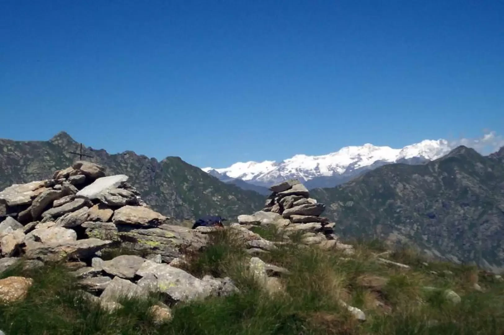
The Pian del Turo is located to the south of the more famous Colma del Mombarone, but the views from this scenic peak are not inferior to those of the nearby peak of Mombarone. The ascent is very easy, first on a dirt road, then on a comfortable path, only beyond the Buscajon farmsteads does the climb become slightly more challenging, as it takes place on grassland without a path, but the proximity of the summit makes this stretch almost elementary.
Description
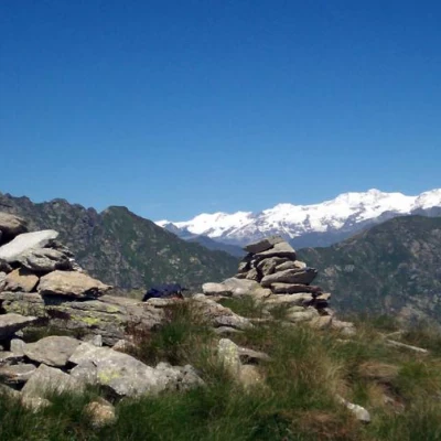
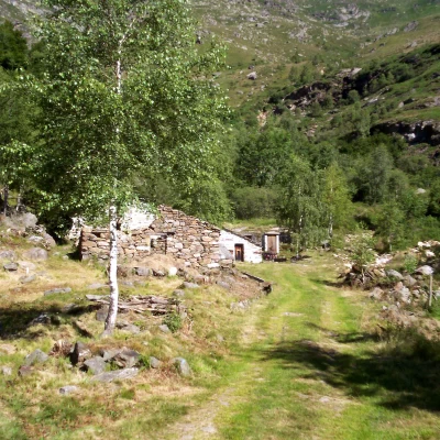
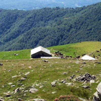
At the S. Carlo hill car park, a panel with a trail map clearly indicates the start of the ascent. Take the path, which soon leads onto a dirt road, cross it for the first time and follow the path again until it crosses the road again. You now turn right following the roadway, leave on the left the entrance to the path for the Colma del Mombarone and a cement tank and continue until you reach Pianetti. Leave the alpine pasture buildings on the right, cross the Janca stream and finally leave the wood. With a few bends, you gain height, until you reach the Steveglio alpine pasture, where you leave the road and take the path that points towards the construction of the Balma alpine pasture (beware that in this stretch the path is not very evident, but the constant view of the Balma alpine pasture makes it difficult to lose your way). Having left the construction of the alpe on the right, the path becomes clearly visible and, with a series of hairpin bends, gains height, arriving at the Buscajon farmsteads. At the Buscajon farmsteads, ignore the obvious path bending to the left that leads to the Colam del Mombarone, and take the scattered tracks, keeping a small rocky barrier as a reference point. On reaching this barrier, go around it to the left and head decisively for the now clearly visible ridge of Pian del Turo. When you reach the ridge, turn right and you will soon reach the summit, where there is a small stone cairn with a small metal cross.
