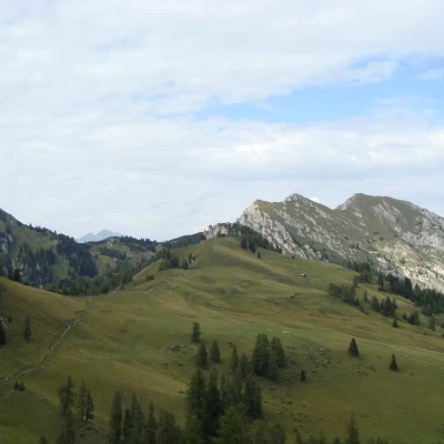
Picco Vallandro - descent Altavia 3 and path 14
Description
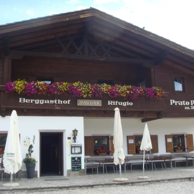
For PARKING there are 2 options: The road to the Pratopiazza hut is open until 10:00 and after 16:00 (€8 per car) Or take the bus from the Ponticello hut. In summer 2011 the buses ran from 09:30 to 18:00 and the ticket price was €3 one-way, €5 return. For the indicated tour, I would recommend leaving the car at Ponticello and taking a single ride to Pratopiazza.
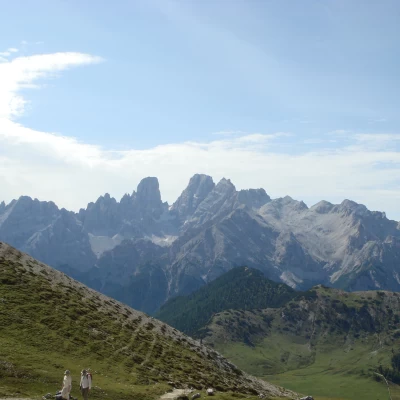
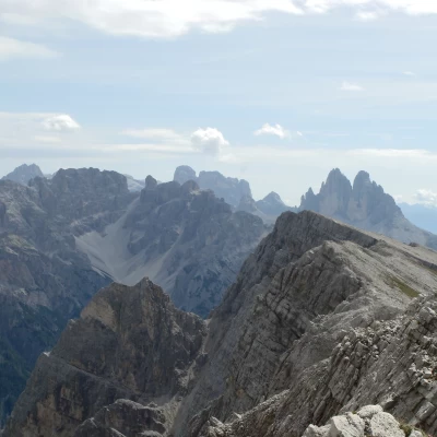
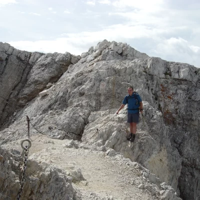
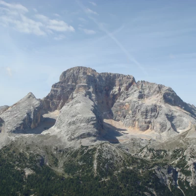
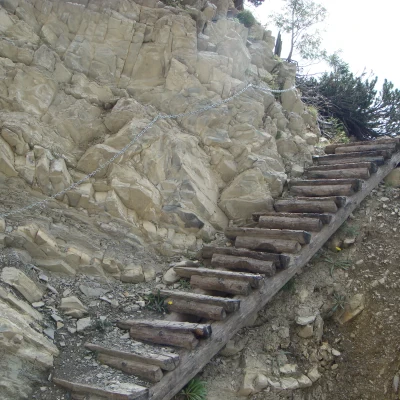
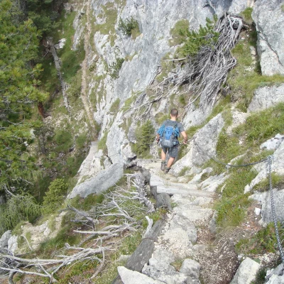
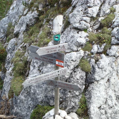
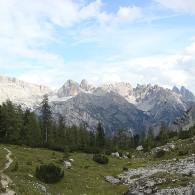
For a detailed description of the ascent to the summit of Picco di Vallandro, see Giovanni Consigli's report. Once we have descended from the summit, we take trail no. 3, which begins with a nice up and downhill stretch through the forest. We then encounter a climb up a scree slope before resuming the up and down. At around 2170m, we descend a section on scree that ends with a section equipped with chains and metal pegs that can be used as handholds. After another up and downhill stretch, the last equipped section is reached, which also marks the end of the descent (2000m). (2000m) Continue uphill to the Forcella di Chiesa (2280m) and then on to Flodige Sattel, where path no. 33 crosses. There we turn left. We cross a beautiful, peaceful valley and at Passo Serla take trail no. 14 downhill back to the main road from where we can take a bus back to Ponticello. At an altitude of 1500m past the bend to the right, we tried to follow the short path marked with a black dotted line on the map, to take the road that would lead us back closer to the Ponticello car park. I don't think said path exists anymore, or if it does, we didn't find it. So we followed the .....nel river (fortunately it was not in flood) until we found the road on the left. From there we walked up to Ponticello, making the last 200m run to catch the last bus that would take us back to Pratopiazza. Certainly not what you want after a 20km walk, but the distance between Ponticello and Pratopiazza is 7km (uphill) ...... would have been even worse!!
