Scermendone Pass, from Preda Rossa


Edited by:
Marco Bonati
Updated at: 10/05/2026
Access
From Milan to Ardenno along state roads 36 and 38; opposite the railway station, follow the signs for Val Masino to the left. Go up along the provincial road to the village of Filorera: here, with a fork to the right near the Centro Polifunzionale della Montagna (multifunctional mountain centre), go up along the Predarossa road to the terminal square. There are approximately 12 km with a dirt intermediate section, which is currently very poorly maintained and can only be travelled by normal cars with great caution.
Introduction
Excursion to a little-visited but very picturesque and bucolic valley; this is the initial section of the lowest and most easily traversed traverse between Val Masino and Valmalenco, on paths abandoned by shepherds decades ago. The return, partially on terrain without tracks or signs, leads to a very wide ridge overlooking the lower Valtellina.
Description
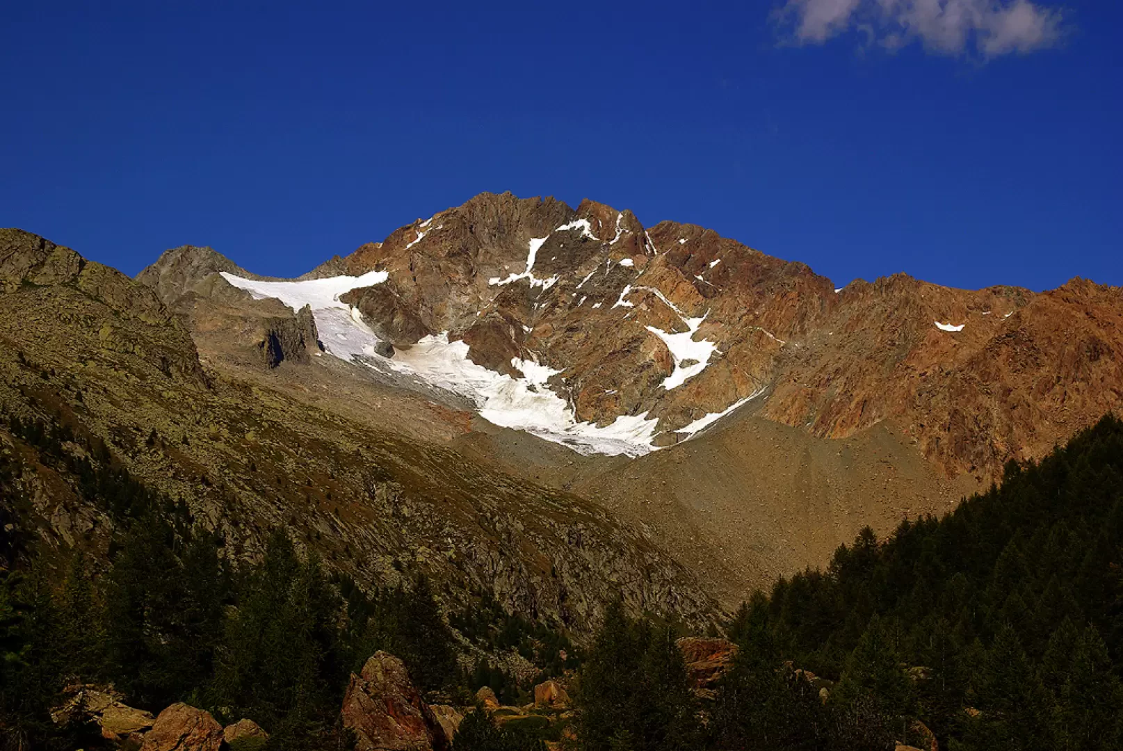
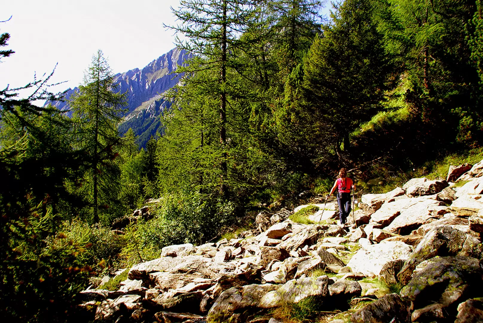
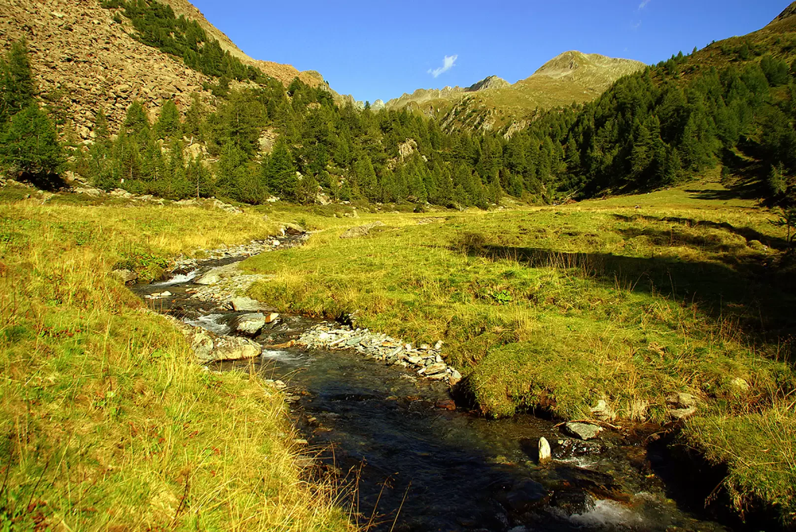
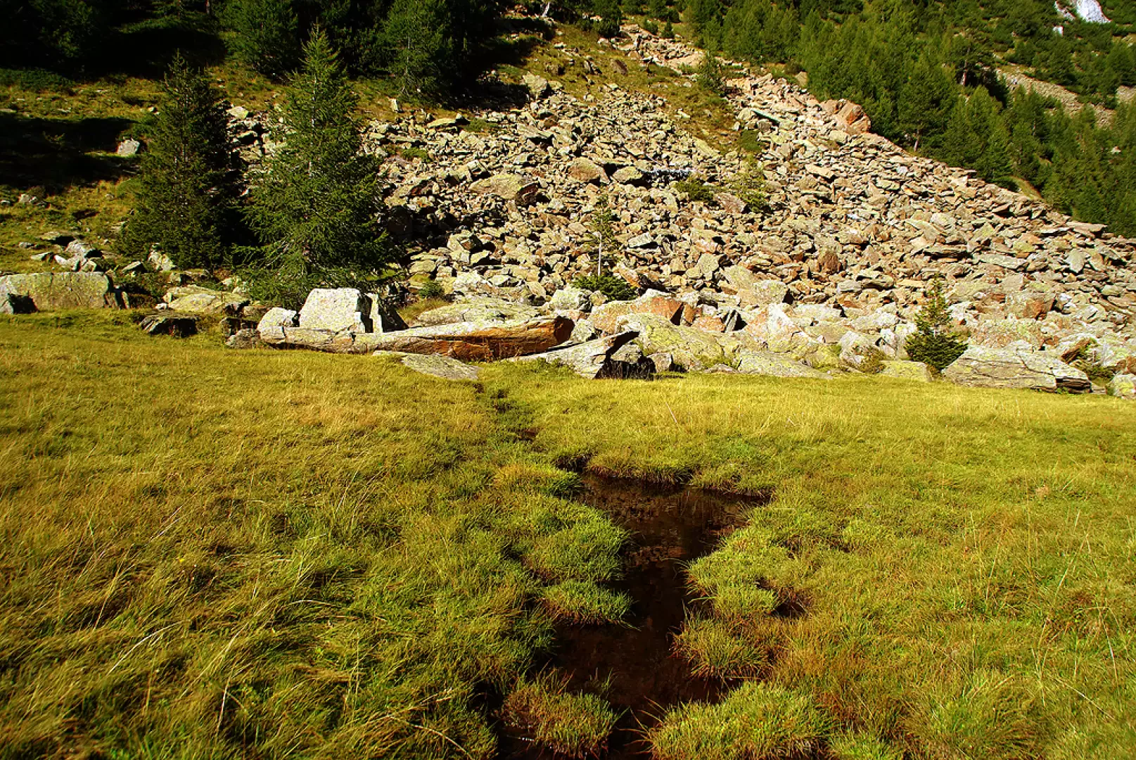
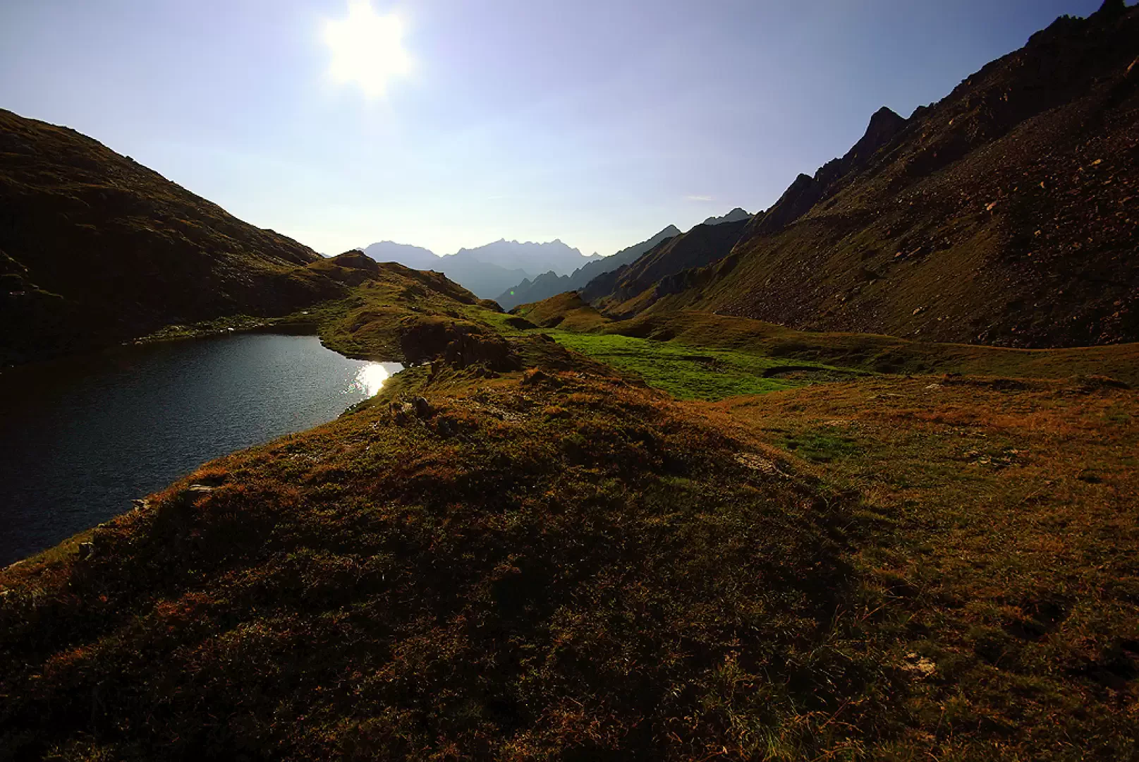
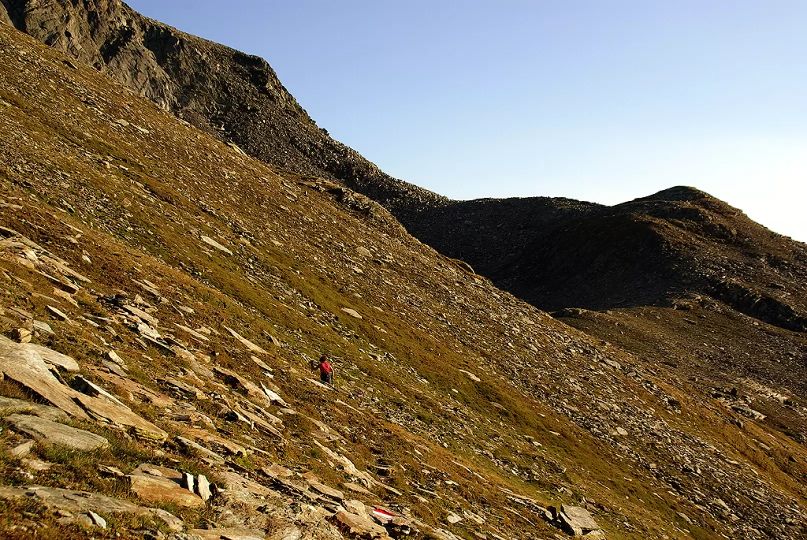
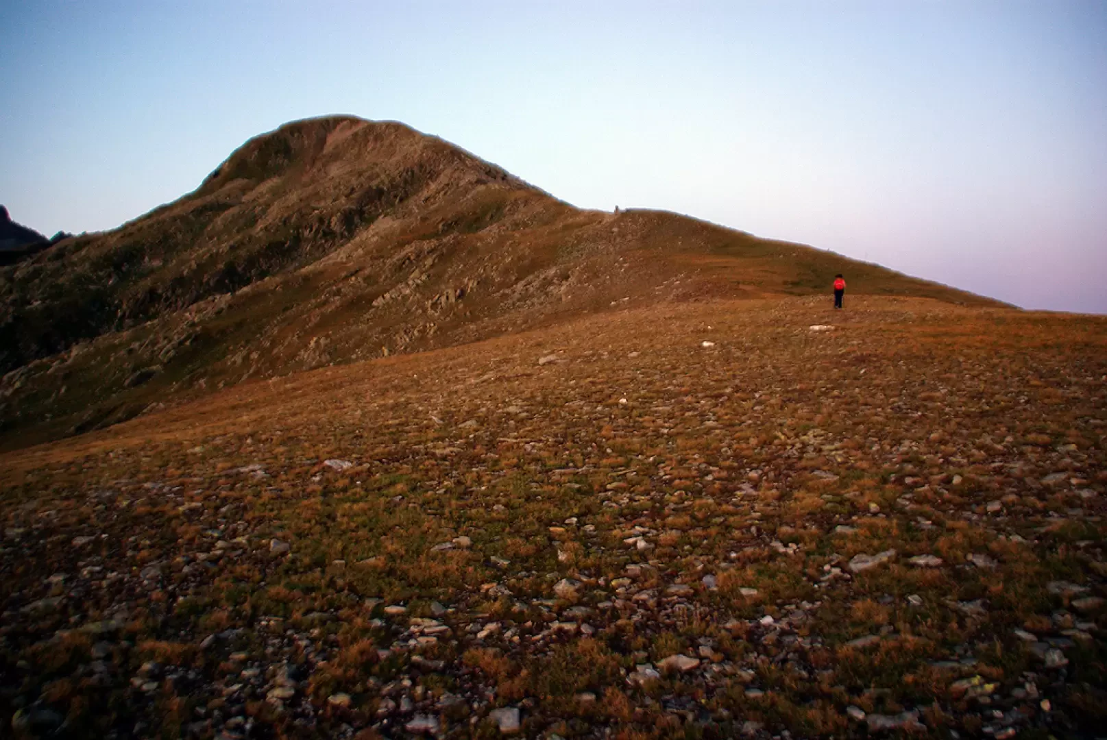
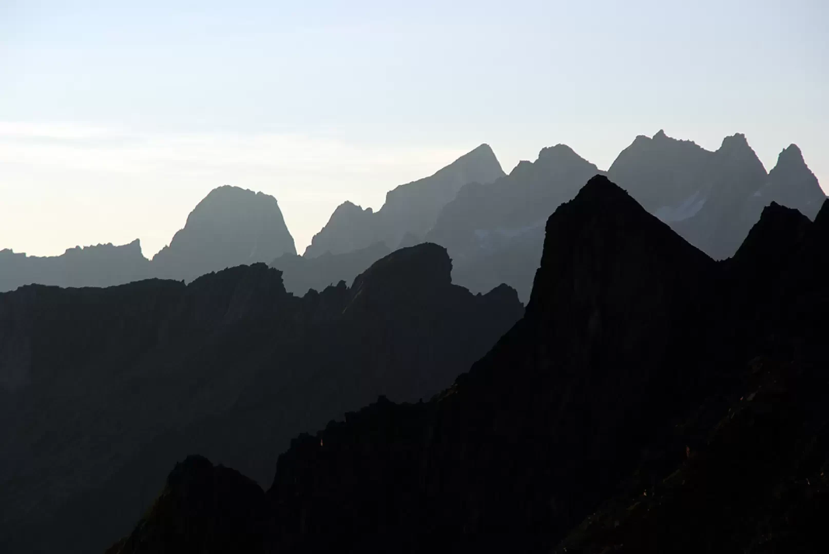
From the Predarossa forecourt (magnificent panorama of Monte Disgrazia), turn immediately right and cross the stream near the intake works of a recent hydroelectric power station; after about a hundred metres - signs have faded - the grassy track descends again to the right into a small valley wooded with larches. On the other side, the path, now clearly visible, begins a short up-and-down traverse among mugho trees and red serpentine boulders; having turned the spur descending from the Sasso Arso, we enter the Val Terzana proper in a continuous ascent in steps among the boulders. In a short time, the sparse forest opens up into the first pastureland esplanade of the valley. [On the right you can see the small wooden bridge of the return route]. Our route continues always on the left side of the stream, reaching from time to time the small plains arranged in steps in the valley: the uphill stretches - when the stream flows in impassable bottlenecks - are in steep hairpin bends just beside it. By now within sight of the pass, with a short diversions to the right in an intuitive position, we reach the shores of the small Lake Scermendone 2350 m; continuing along the grassy bottom of the small valley, on multiple tracks of grazing animals, we reach the opening of the Scermendone Pass 2595 m with a few bends. On the opposite side, the panorama opens up towards the mountains of the Pizzo Scalino group and beyond towards Switzerland. For the return trip, it is best to initially follow the recent signs in paint that indicate a stony track halfway up the slopes of the overhanging Pizzo Bello as far as the unnamed nozzle that indicates the ascent route via the ridge. From here, one proceeds with some difficulty on uneven, steep and landslide terrain: it is always a long traverse to be undertaken in a slight descent, continuing until one finds oneself on the vertical of Lake Scermendone about 100 metres above it. Continuing in this direction, you come to new painted signs: follow them to the left until you find yourself on the Scermendone ridge, at the foot of Cima Vignone, the watershed between Val Terzana and Valtellina. With an incomparable panorama, continue downhill along the ridge until you are just above a hut surrounded by a fence (Rifugio Scermendone): here you will notice an isolated marker post in the pasture. We follow its direction and arrive at the hairpin bend of a forest track: we take it downhill to the left and follow it to the bottom of the valley; through a marshy stretch, with a long curve to the left around a wooded knoll, we reach a small wooden bridge. Once we have crossed it, we find ourselves on the uphill path at the entrance to the Val Terzana.
General Information
Trail:
Signposts:red/white/red
Type of route:partially circular
Recommended period: June, July, August, September, October
Objective hazard: steep and landslide slopes
Sun exposure:southwest
Photo gallery
Comments (0)
Sign in to leave a comment