Forcellino Pass, from Vedello


Edited by:
Marco Bonati
Updated at: 03/09/2024
Access
From Milan to Sondrio along state roads 36 and 38; before reaching the town, take the ring road and follow it to its end. Turn right in the direction of Piateda and, a little further on, turn right again in the direction of Piateda Alta. At a hairpin bend, follow the signs for Vedello (narrow and sometimes exposed road). After passing this locality, continue for a few hundred metres and park - there are a few places on the side of the road - at the Agneda-Ambria crossroads.
Introduction
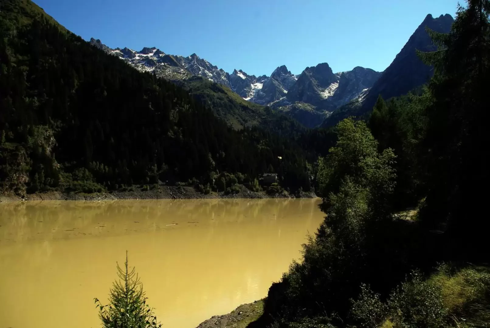
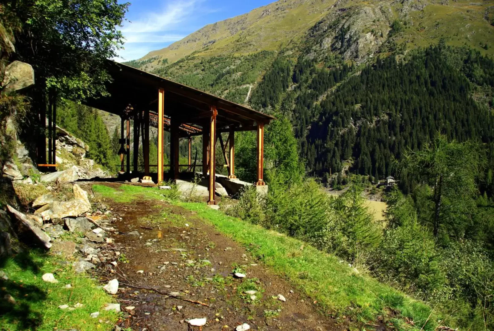
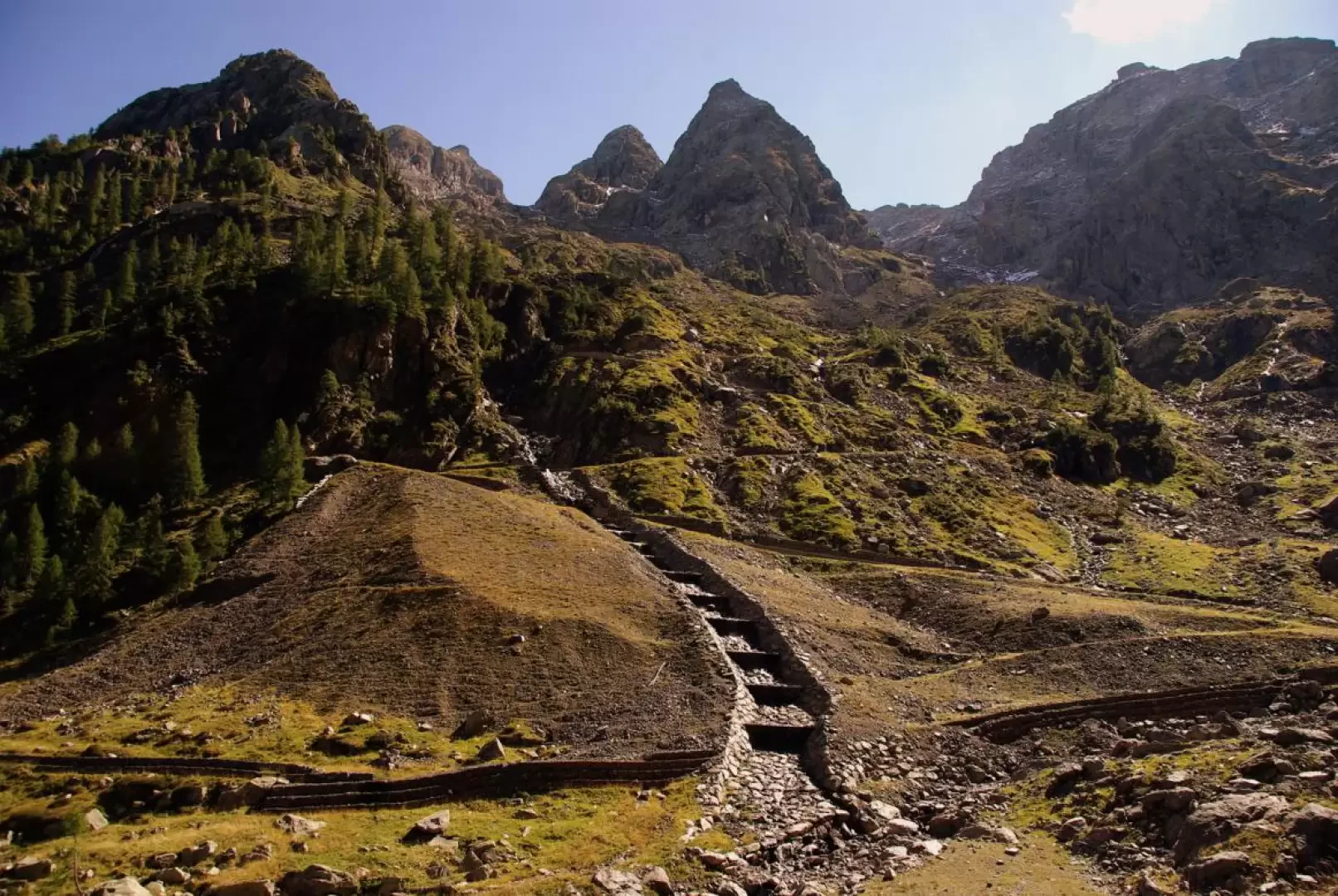
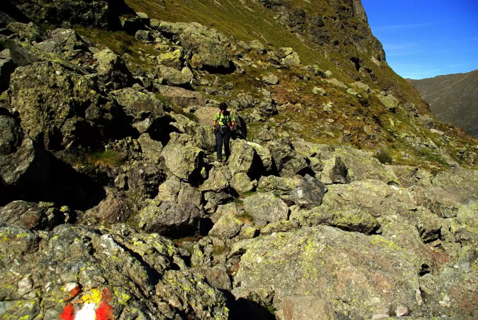
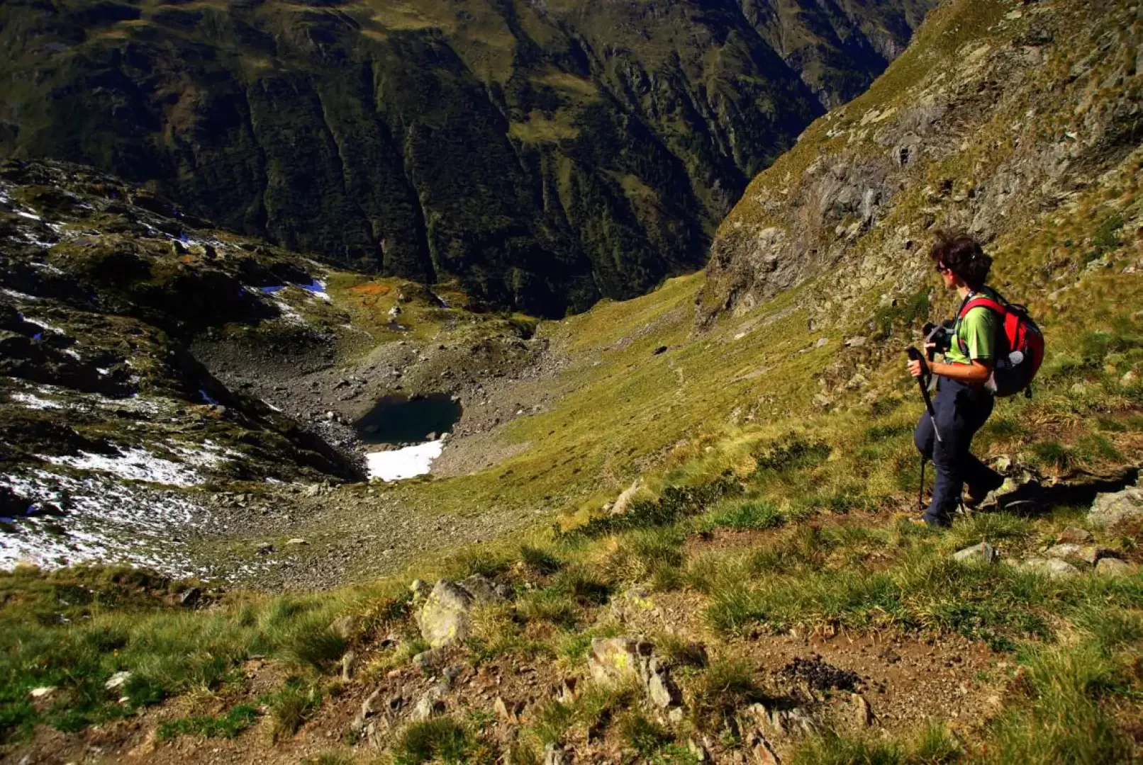
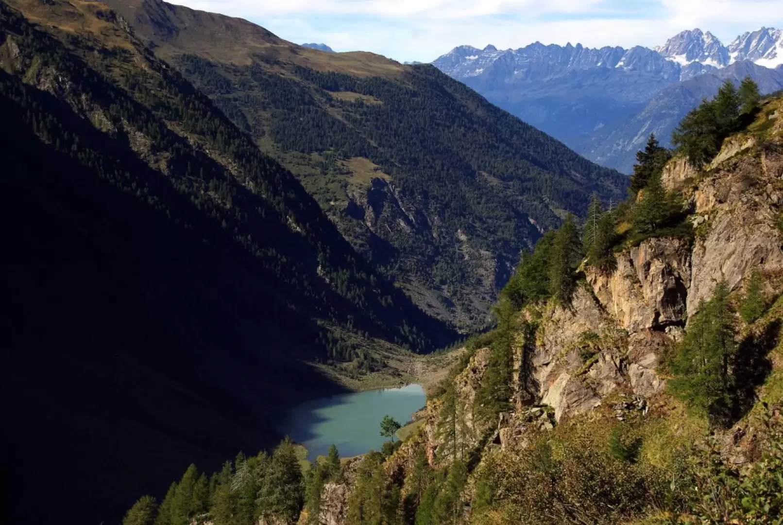
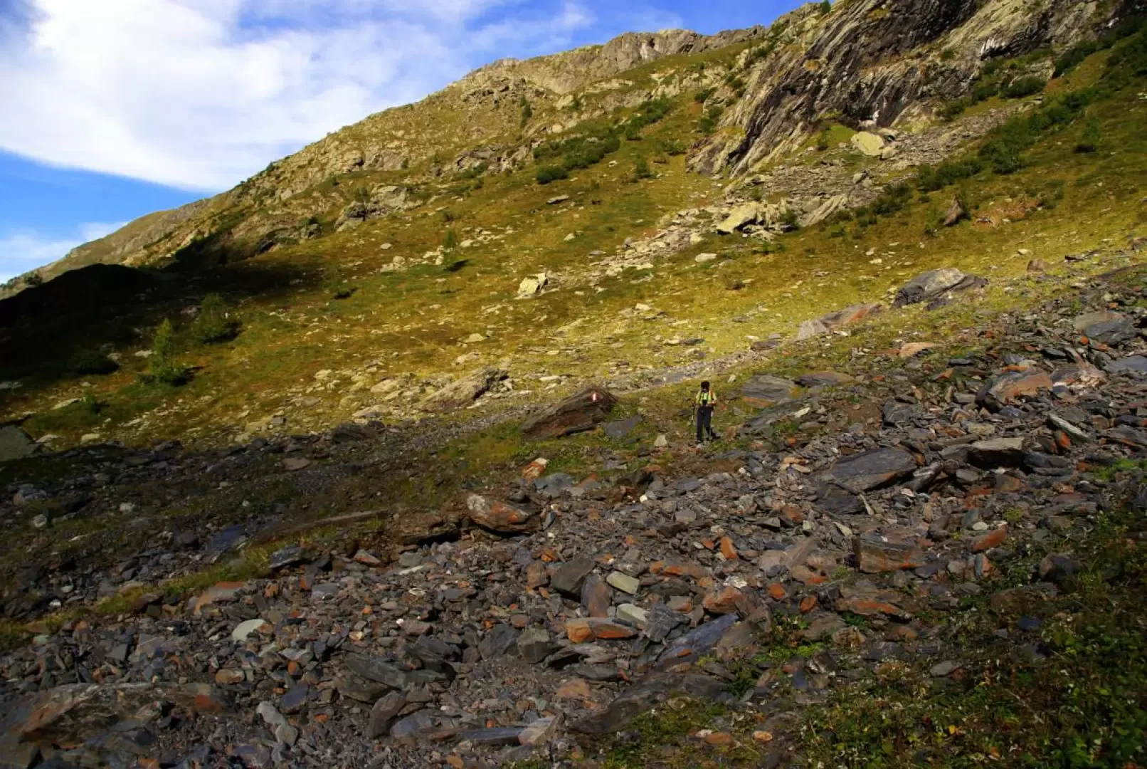
Long hike combining in a single loop two of the valleys that converge on the Vedello hydroelectric centre. You walk along solitary and particularly wild mountains despite the not excessively high altitude. Isolation is not affected by the presence of the 'Gran Via delle Orobie' trail, which is currently almost invisible on the ground for long stretches and has very deteriorated paint signals. On the ascent to the Passo del Forcellino, one travels through the Val Vedello, the site of mining excavations for uranium in the 1970s, still heavily characterised by dumps, access roads, channels and retaining walls. The tunnels disappeared, mined and blasted in the 1980s at the request of the local authorities. During the descent, one can encounter the vast Lake Zappello: depending on the season - thaw and heavy rain or drought - a sheet of water or an expanse of sand. Very good visibility is required to negotiate the route, and particular attention must be paid to following the poor paint signage.
Description
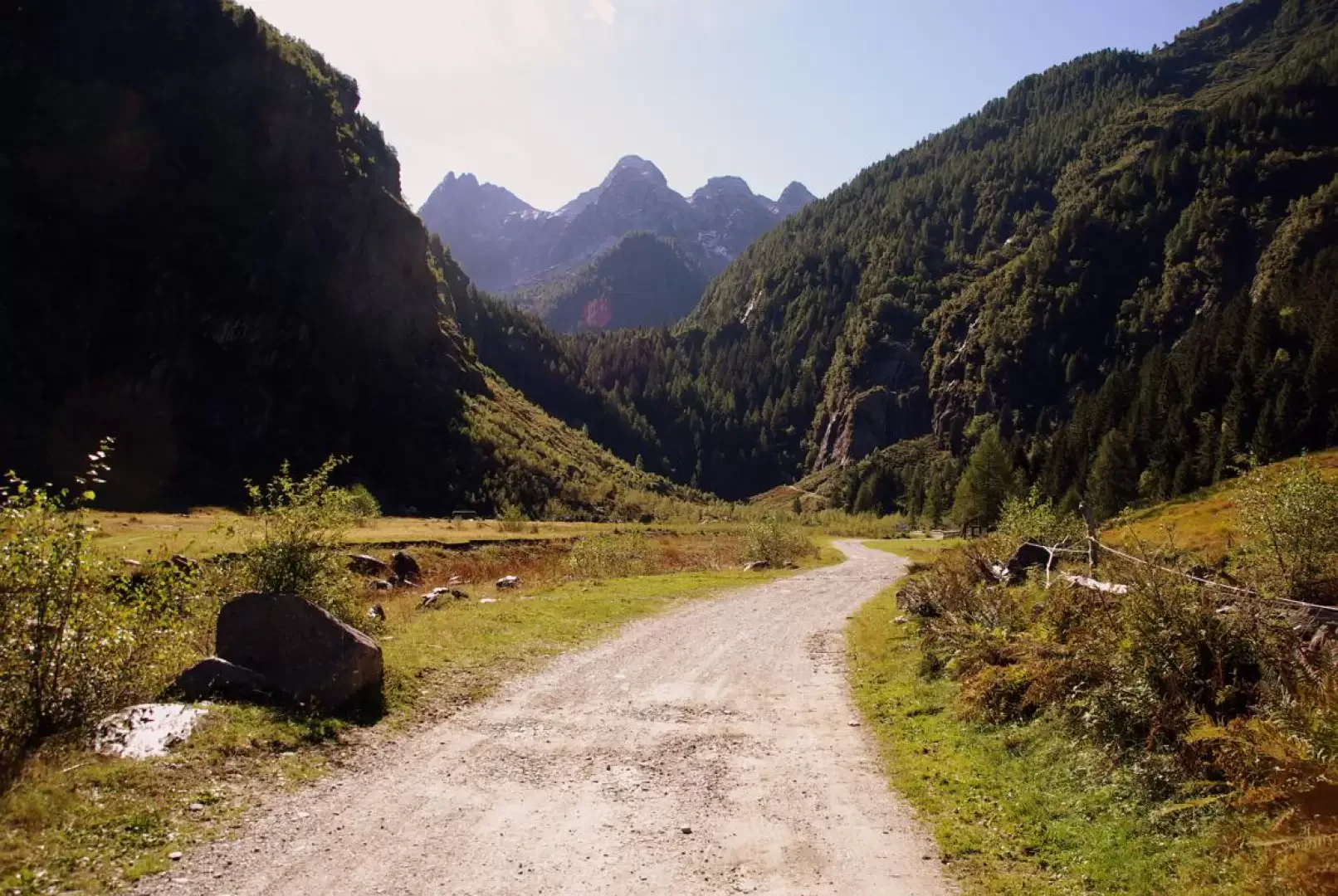
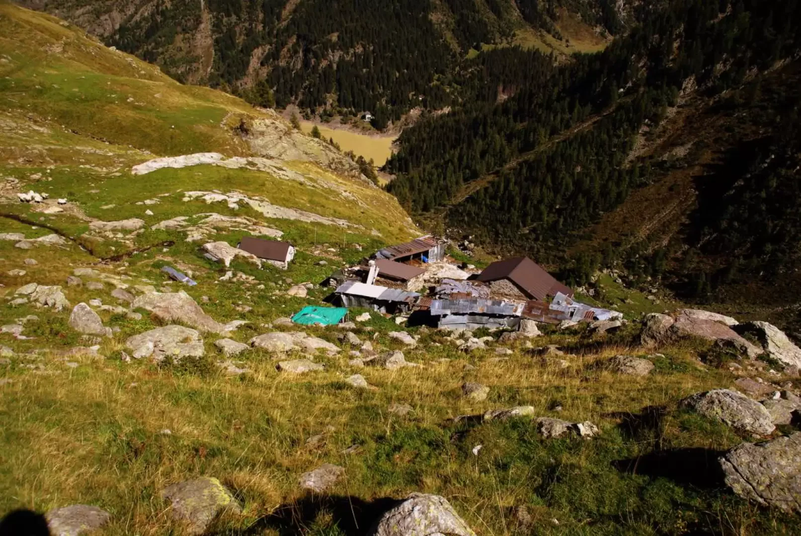
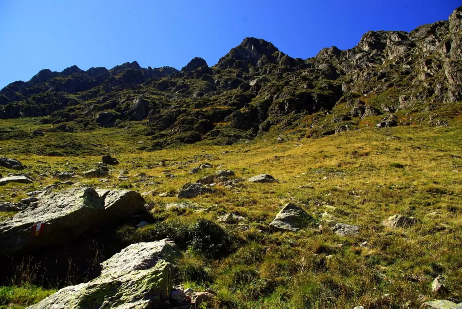
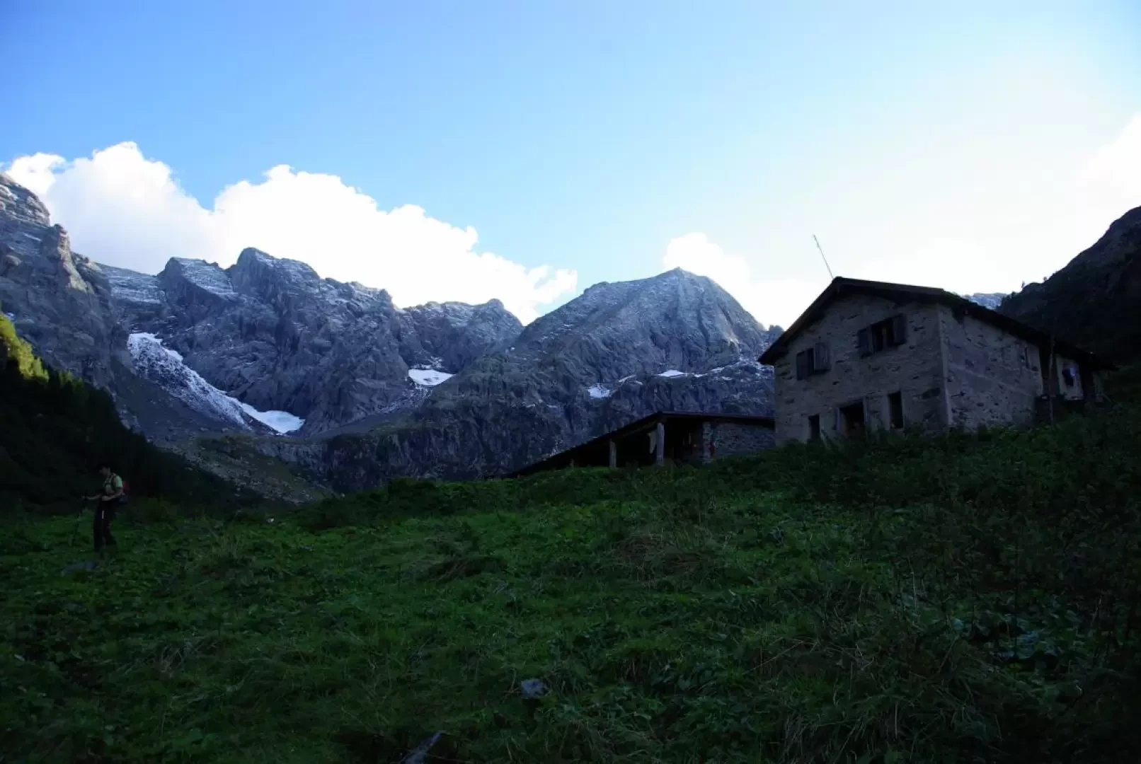
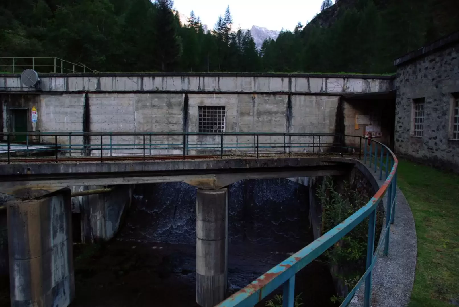
From the Ambria-Agneda 1096m crossroads, head towards the latter on a cemented track: the few houses of the seasonal settlement (Agneda 1228m) are located at the beginning of a very long alluvial plain that ends at the base of the Scais Dam. A sequence of very steep hairpin bends leads to the height of the wall; the dirt track then continues on the right-hand side of the lake: it is a remnant of mining work, and is currently badly ruined by washouts, landslides and avalanches. The trail gradually gains height until it reaches a hairpin bend, where some GVO (Gran Via delle Orobie) signs point to the right towards a stony, steep track that - successively semi-flat - leads to Alpe Zoc 1814m. From here the track, among pastures and stones, turns back and with a very long ascending traverse leads to the base of the rocks of Pizzo Ceric 2536m above. Reaching the valley floor at the base of the grim north face of Pizzo del Salto 2665m, sparse signs indicate the best route through a labyrinth of verrucano rock blocks. The climb ends at Passo del Forcellino 2245m. On the other side, it becomes really essential to be able to distinguish the signs because the route - rarely visible on the ground - does not follow a logically intuitable direction: broadly speaking, after an exposed and landslide traverse, you descend to a ford that precedes the ruins of a small hut; you continue up and down among the alder bushes until you reach the tiring rock of an ancient moraine. Paying attention, the "Ambria" inscription in paint (on the ground, on a stone facing the direction of travel) indicates the point at which to abandon the GVO; from here, to the right and without a track, head for the Dossello huts 1593m, the arrival point of a beautiful mule track that can be used by small farm vehicles. Following this track, you descend to the plain of Lake Zappello 1530m, barred downstream by the step of Passo Zappello 1560m. Continuing on, you come to the Zappello huts 1480m (recently badly damaged by snow) and a large water intake, already within sight of the village of Ambria 1325m. The descent to the valley follows a dirt track (passable by authorised vehicles) which leads to the initial crossroads in just over 2km.
Photo gallery
Comments (0)
Sign in to leave a comment