Monte Barro Park, from Galbiate


Edited by:
Marco Bonati
Updated at: 02/11/2025
Access
From Milan take the state road as far as the Civate exit; continue in the direction of Oggiono as far as the nearby village of Sala al Barro. From here you reach Galbiate and look for a car park near the parish church.
.Introduction
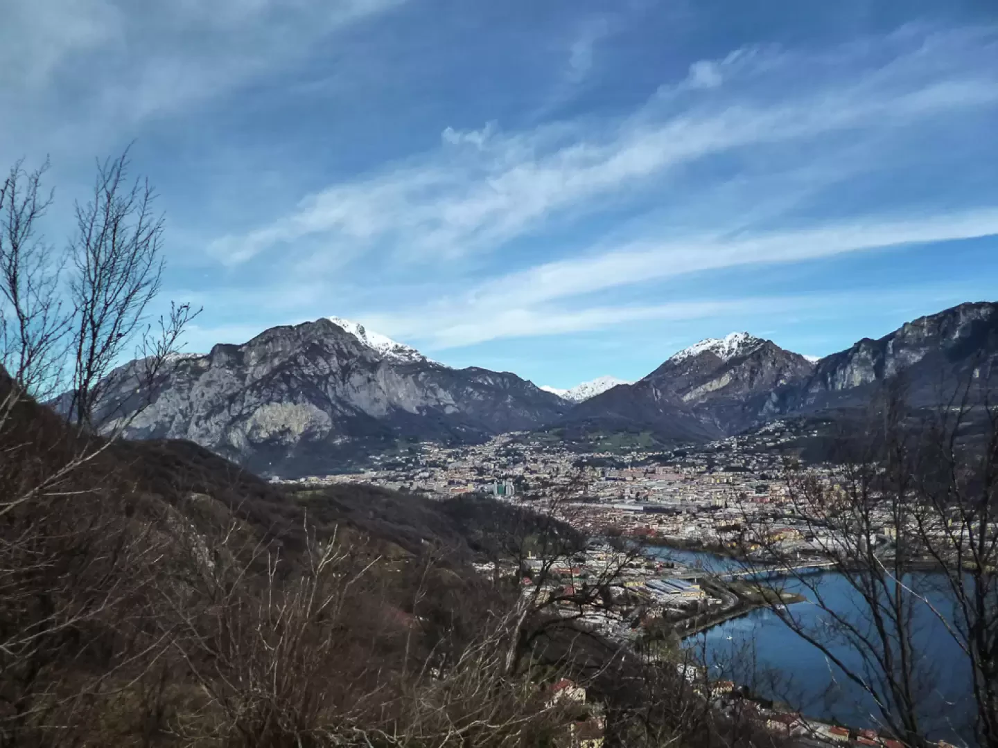
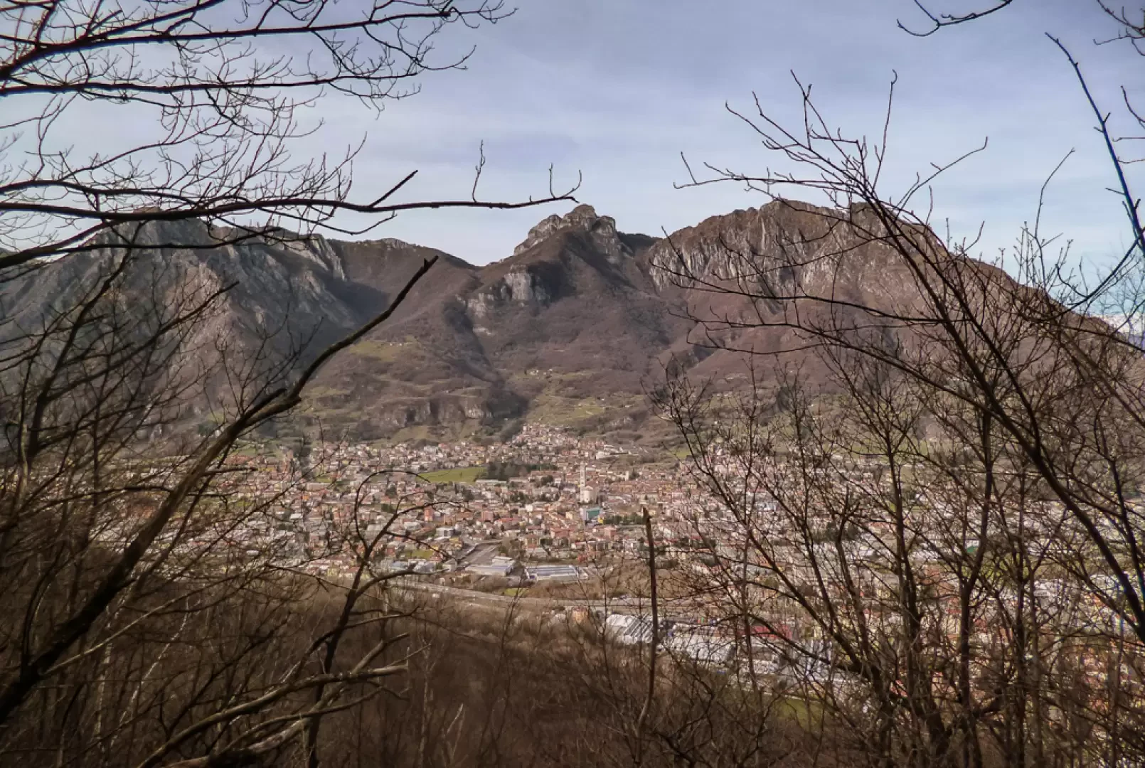
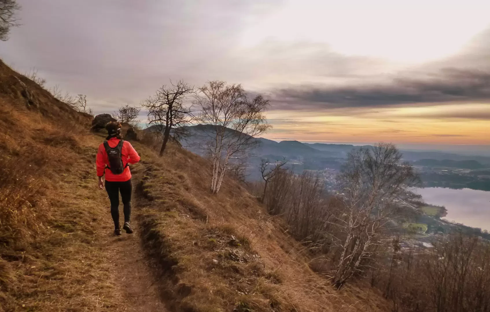
A loop trail that circles the slopes of the isolated mountain pyramid on the northern border of the Brianza region that is Monte Barro. A mountain that encompasses in a few hectares the exemplification of what is present on the slopes of this entire part of the Pre-Alps: endemic flora and fauna, significant geological phenomena, archaeological remains (the largest evidence of Gothic settlement in Italy); not to be overlooked also is the privileged panoramic position towards every horizon. The area is protected and cared for by the 'Parco del Monte Barro'.
.Description
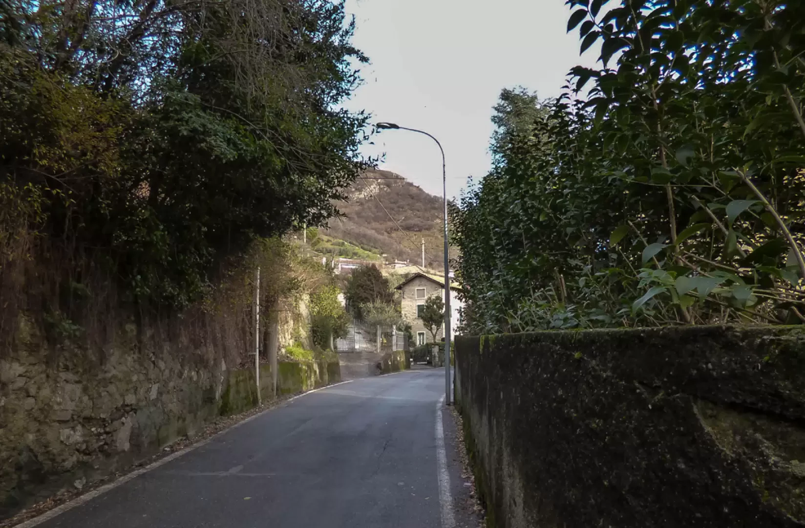
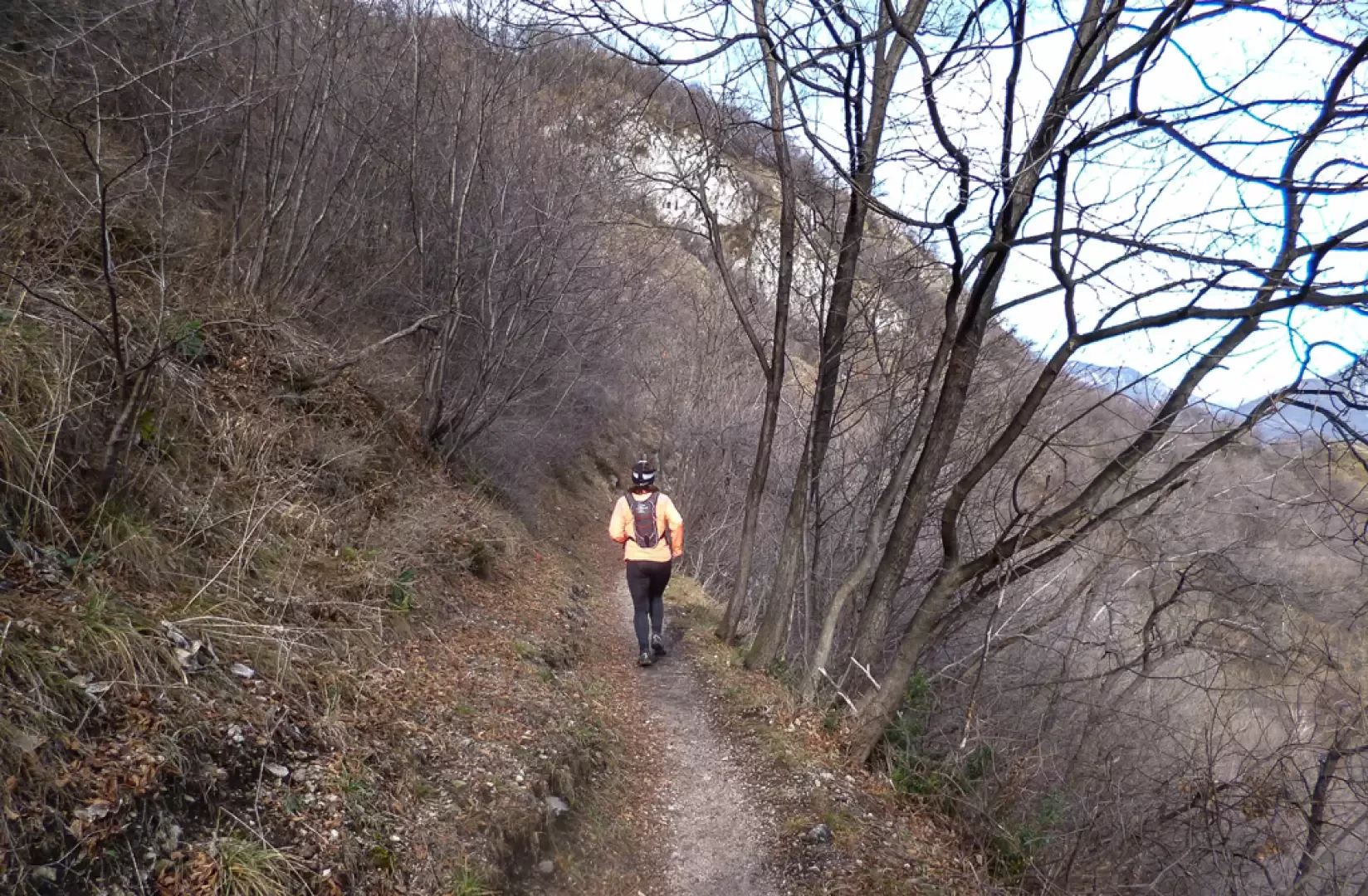
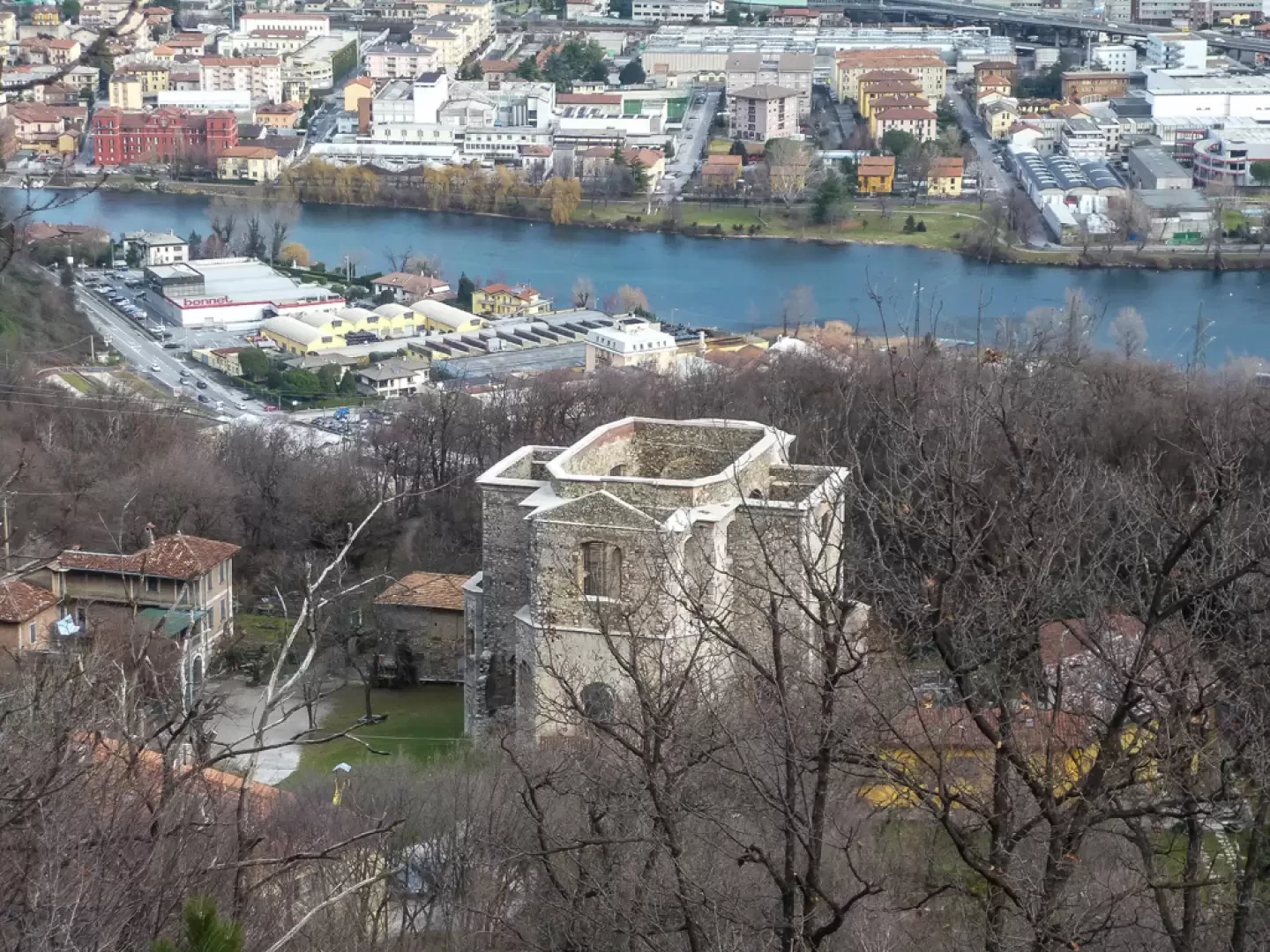
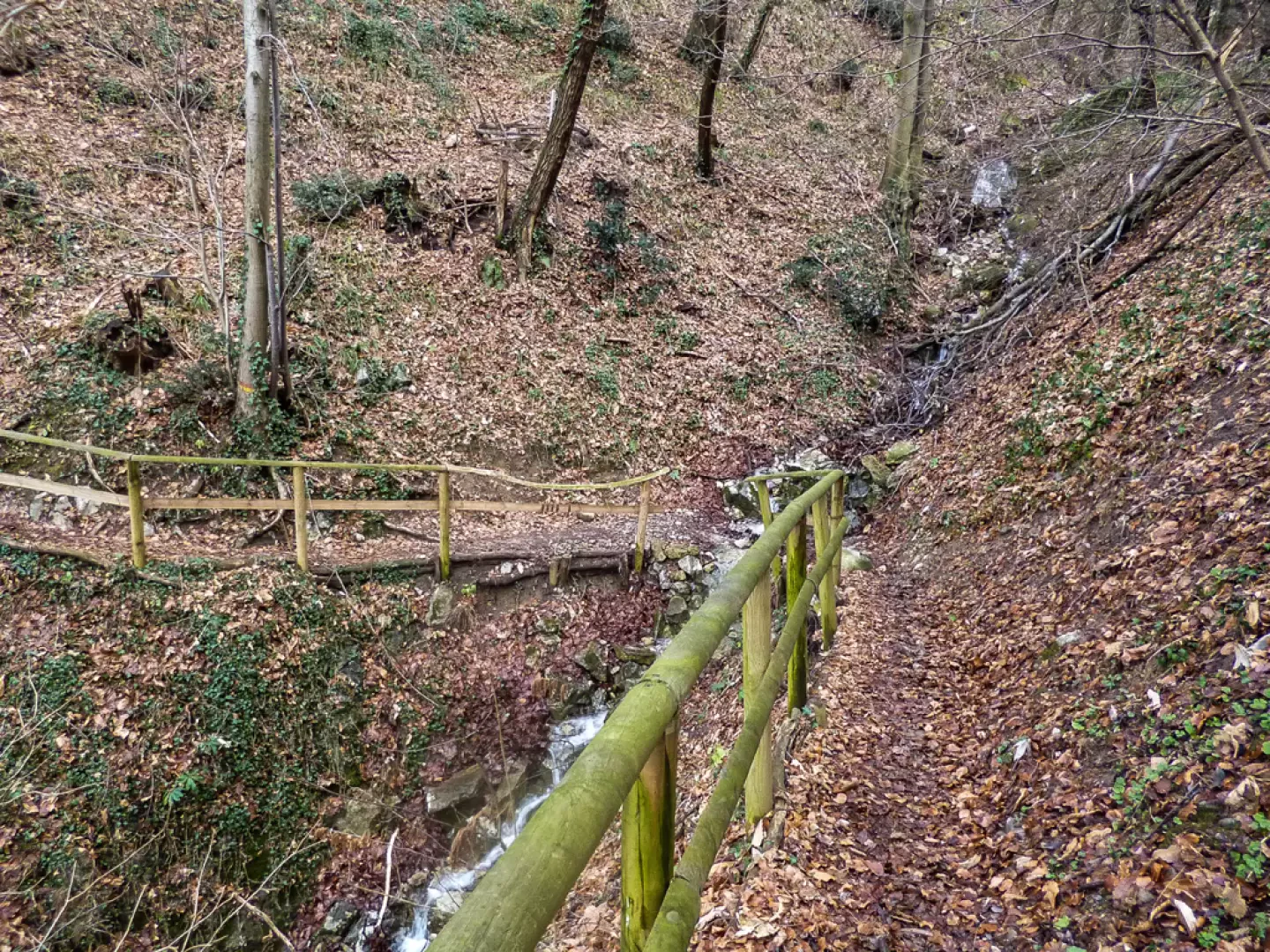
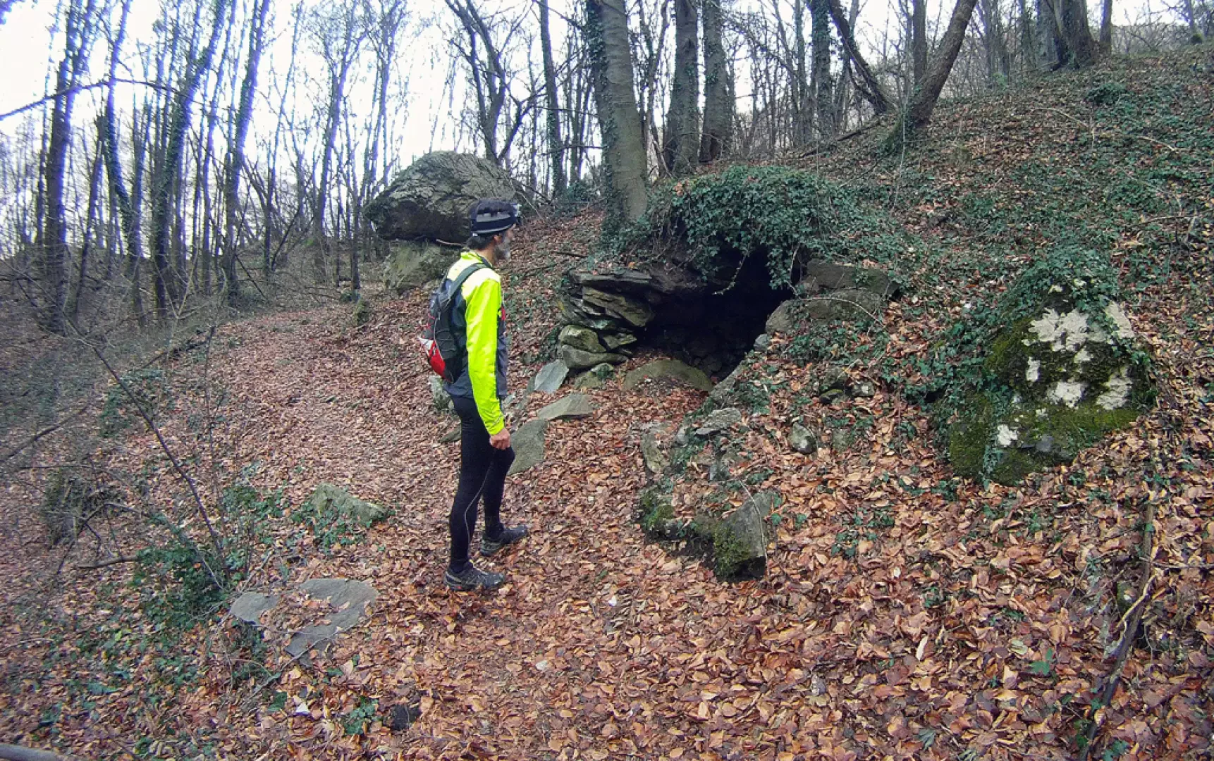
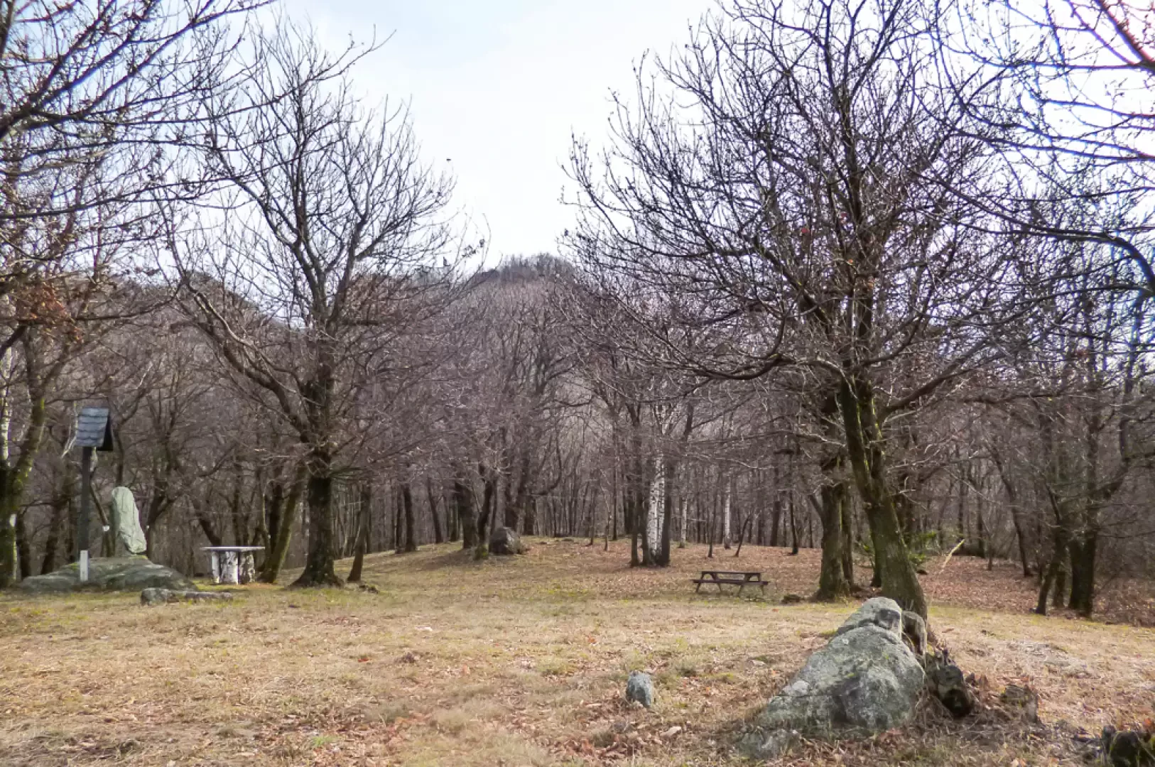
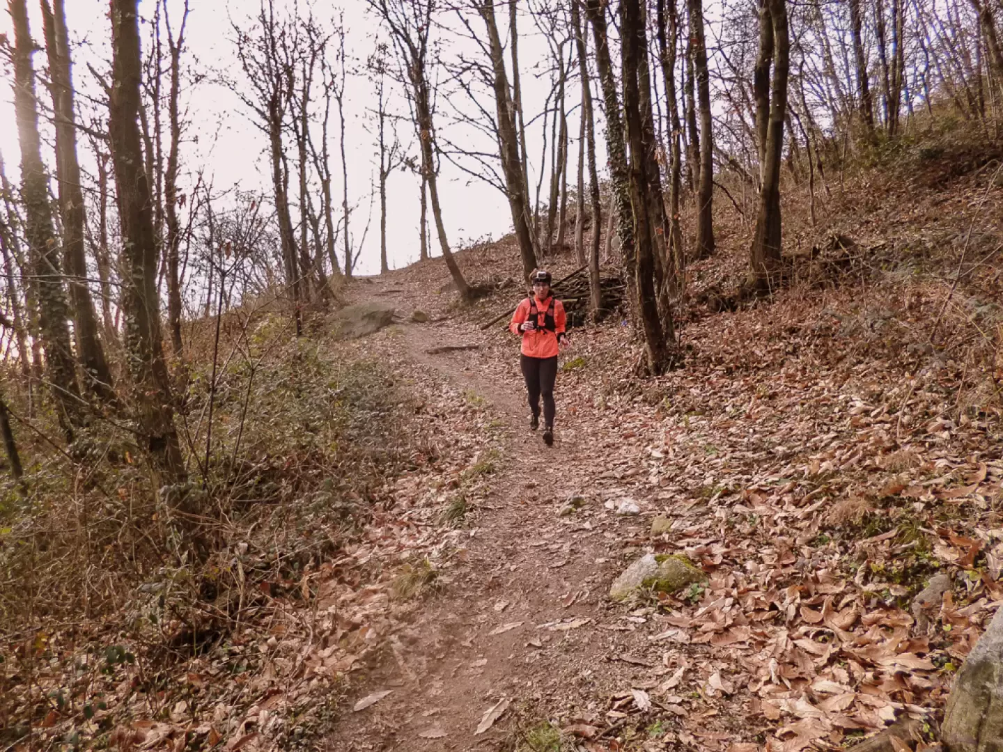
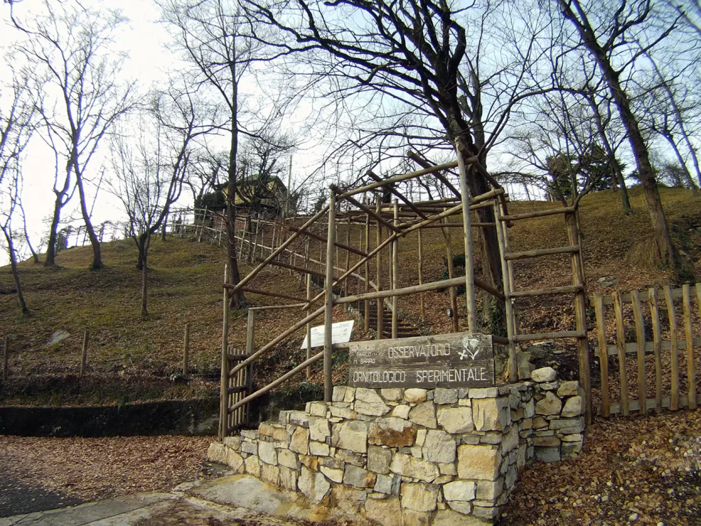
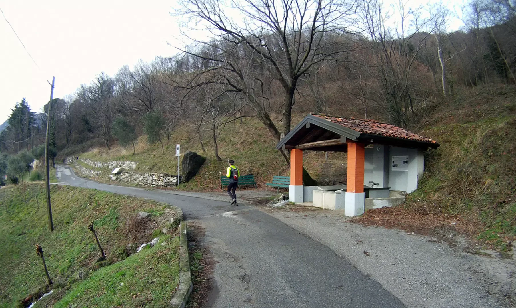
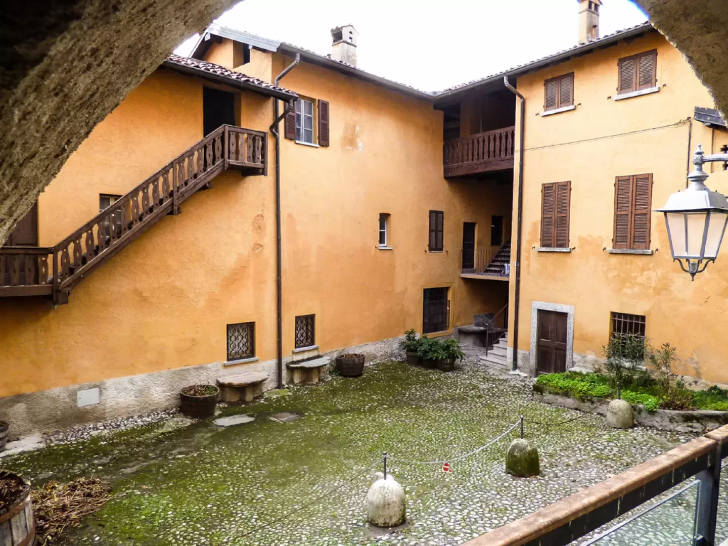
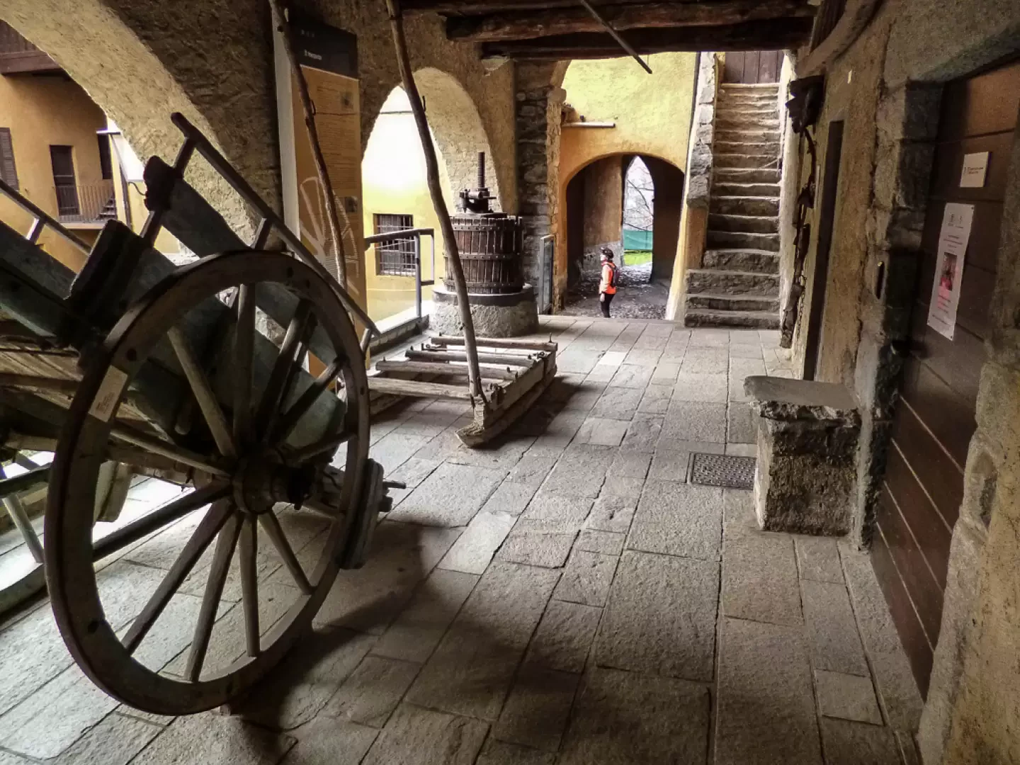
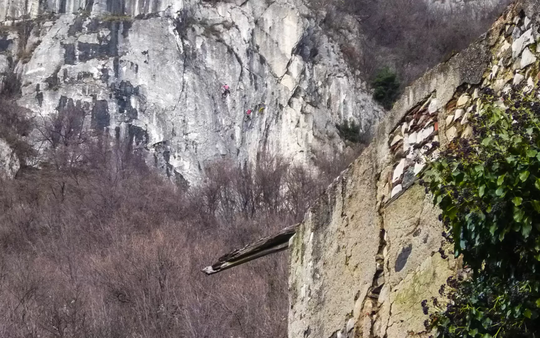
We begin the hike from the square beside the parish church (370m), taking Via C.Cantù, which then continues as Via Sant'Alessandro, until it meets the steep Via dell'Oliva on the left. Follow it until it turns into a footpath: from here it continues for a long time with gentle ups and downs as it crosses the eastern slope of Monte Barro. After noticing the unfinished basilica of San Michele below on the right, you reach the first clearings of Pian Sciresa (430m); descend briefly into the meadowy hollow and climb up the opposite slope, passing by the left side of the "Baita Alpina" (Alpine hut); climb up towards Monte Barro where the paths multiply: keep to the right, following the signs for the low path to the archaeological area. We continue with an enjoyable up and down that, in the Faiè Valley, beyond a small ford, approaches the base of a cliff. A steep winding staircase soon leads to a wooded saddle (opposite, in the valley, an Alpine Refreshment Hut): a temporary diversions to the right leads to the top of a grassy hump (formerly a rocky hump) in a wonderful panoramic position. Returning to the saddle, turn left up to the immediate junction that, heading right on a level ground, immediately leads to the archaeological area 616m (excavations well maintained and illustrated); having crossed the extensive settlement, head up a cemented track that leads to an asphalted square with a monument to the Alpini. We ascend to a new "Baita Alpina" 635m and, passing among the tables to the right, proceed along a path that - in a short time - joins a wide cobbled track that we follow downhill to the right. After only about a hundred metres, having passed a steep rock face, take the little path that climbs to the left, at first carved into the limestone stratifications and then, after a long midslope (remains of Gothic fortifications), reaches a steep wooded shoulder. We quickly descend to the right on a zigzagging path until we reach the fence and then the entrance to the Costa Perla Experimental Ornithological Centre 590m. Follow the tarmac access road to the centre until it joins the Monte Barro carriage road: follow it downhill to the first hairpin bend where you take the track to Cascina Novella 490m. A few dozen metres before the dwellings, turn back onto a small path to the left that descends along a small valley following a rivulet, cross it and - after a short ascent - leave the woods near a vineyard. Look for a little-visible grassy track to the right among the first rows of vines and descend around a farmstead; along the access road, take the carriage road to Camporeso 415m. Past a covered wash-house, one enters the alleys of the small mediaeval village, passes a small square (ethnographic museum on the right) and returns to the extensive fields at the base of the Galbiate cliff (numerous climbing routes). The mule track skirts a wood and goes past the ruins of a farmstead, gradually widening into a cart track: a continuous up and downhill stretch leads past a farm, past the village of Sala al Barro and to the first dwellings of the ancient nucleus of Galbiate. Keeping the bell tower of the parish church as a "sight" directive, you soon reach the starting point.
Galleria fotografica