Olcera and Avero, from St James Fiippo


Edited by:
Marco Bonati
Updated at: 03/09/2024
Introduction
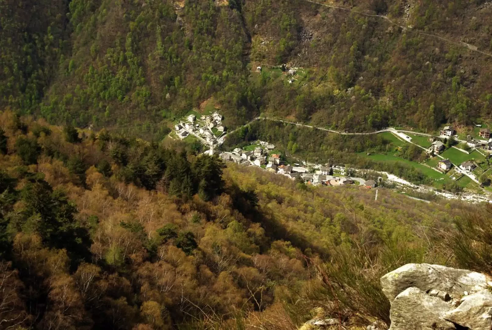
Wonderful traverse among the main alpine pastures of the lower Valle Spluga: you walk along ancient, stepped mule tracks, for long stretches carved into the rock face or on artificial ledges supported by mighty drystone walls. At times the route climbs along precipitous gullies in search of passages that are not easy to see, and then reaches pasture terraces suspended over the valley. Extensive panorama from Lake Como to all the peaks of the Lepontine Alps of the Mesolcina.
NOTE. Route to be avoided in the presence of snow: crossing very steep and exposed avalanche channels can prove excessively risky; during the thaw, a long section of the Val Zerta is exposed to falling ice and stones.
.Description
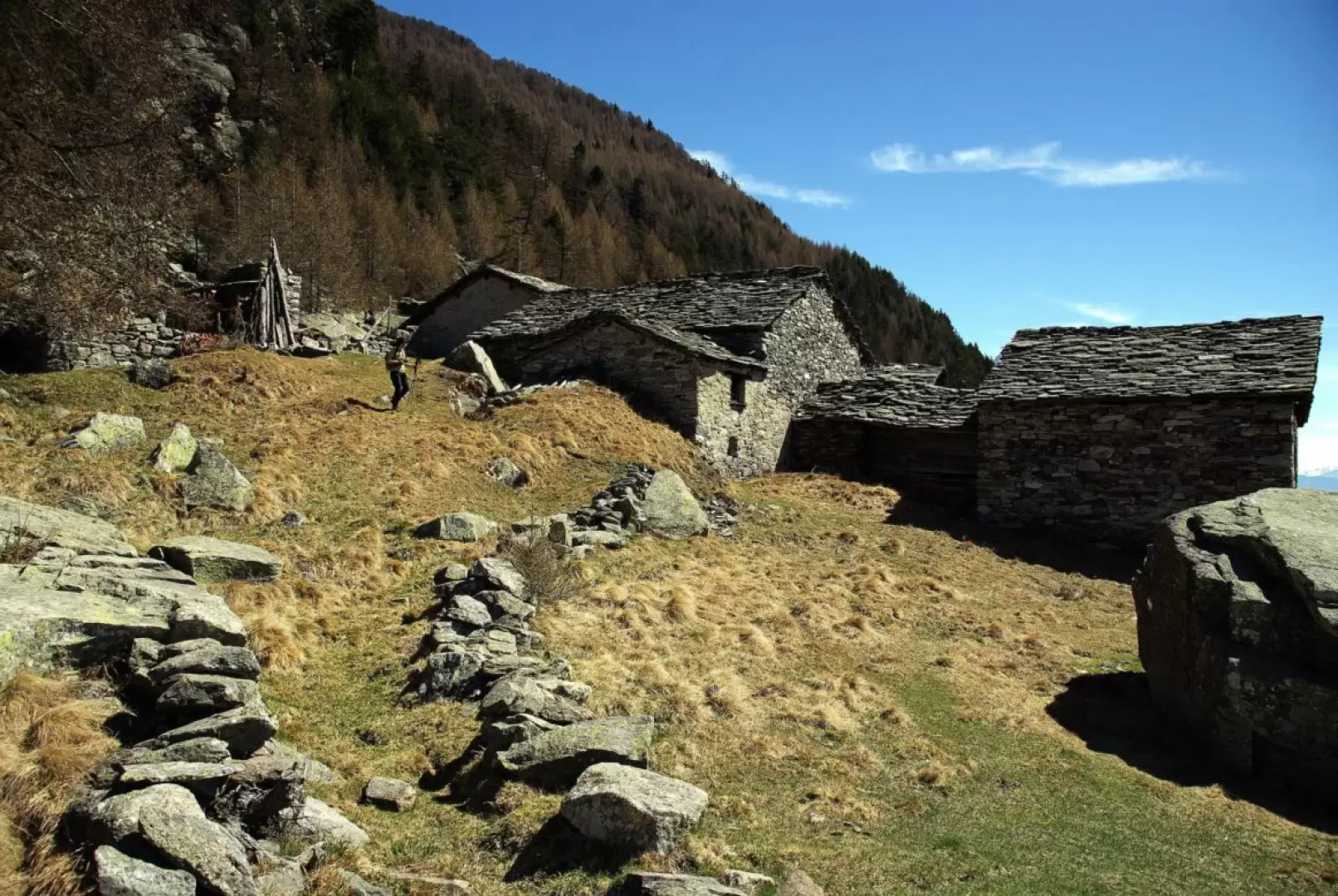
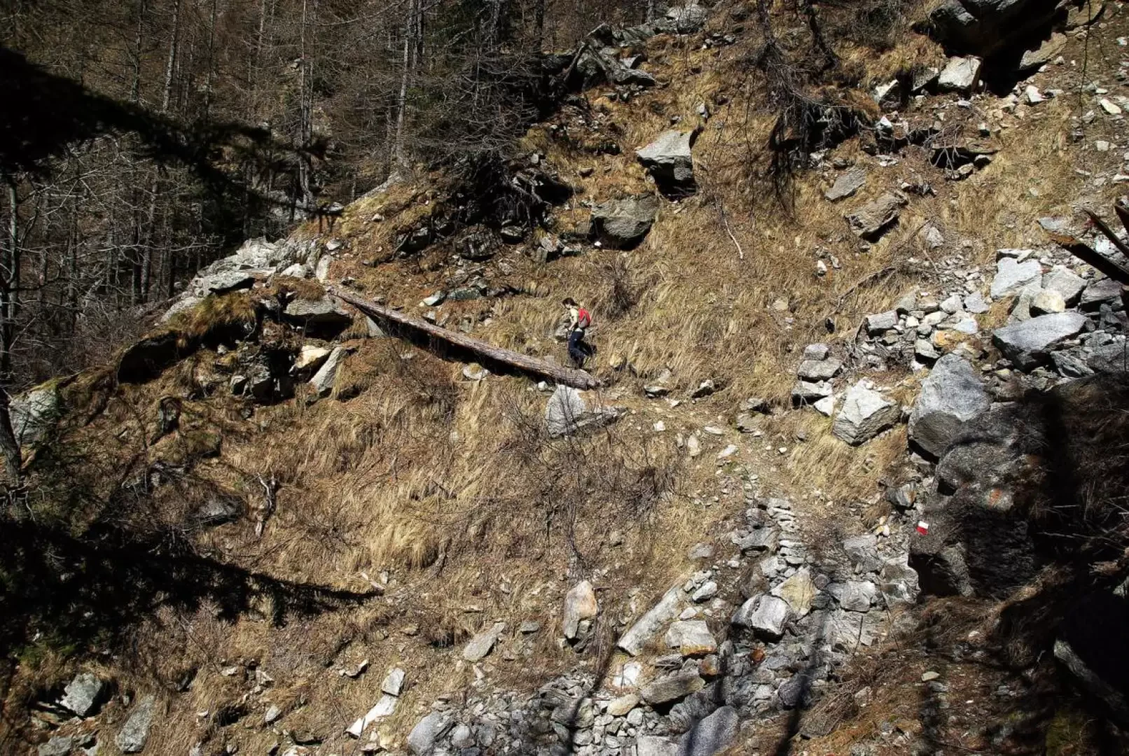
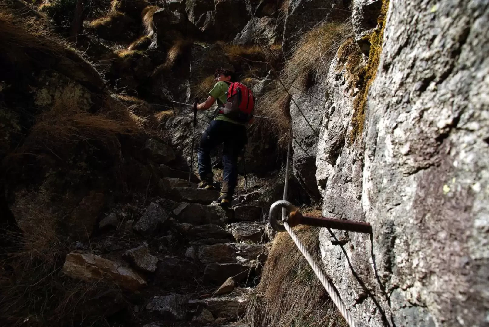
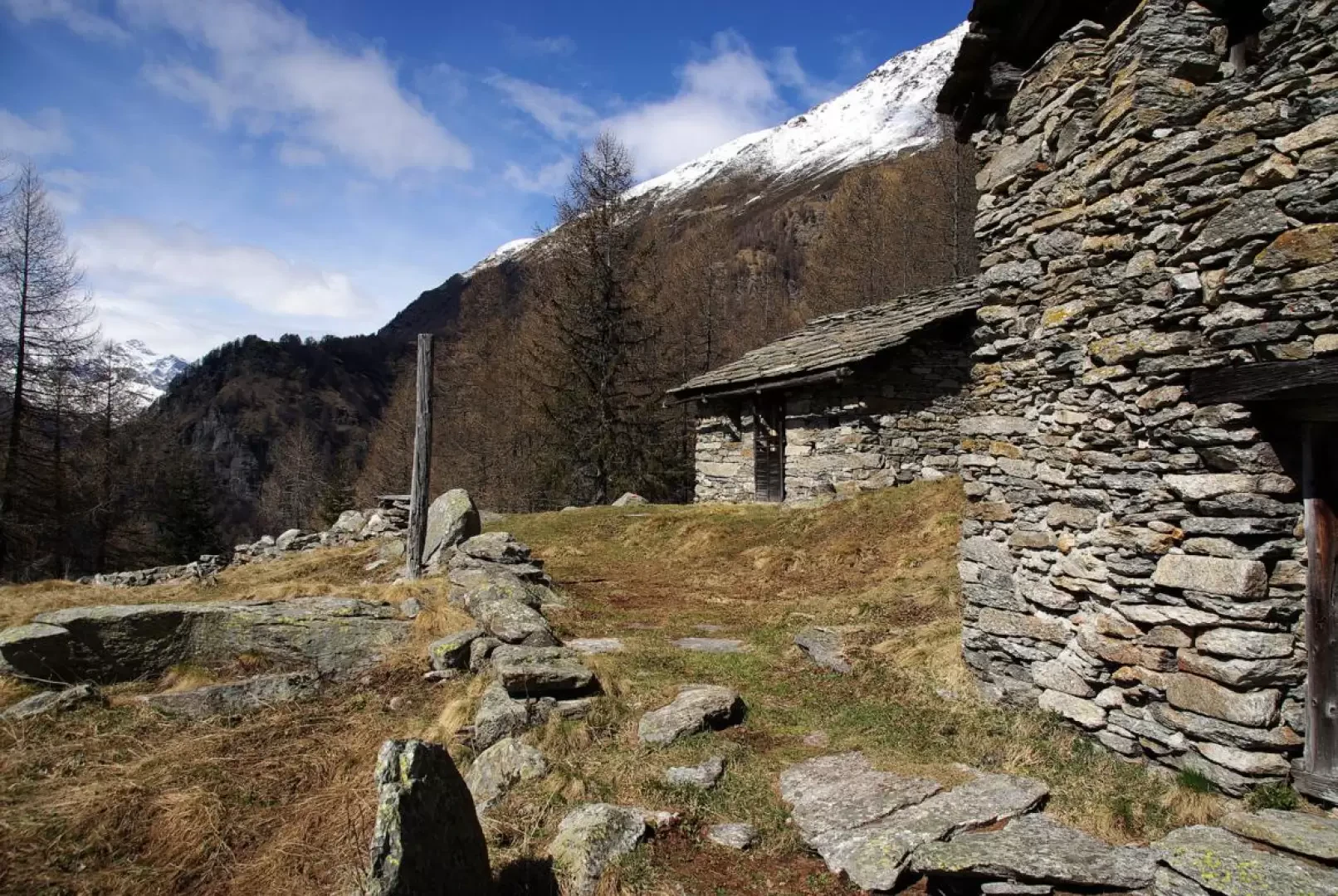
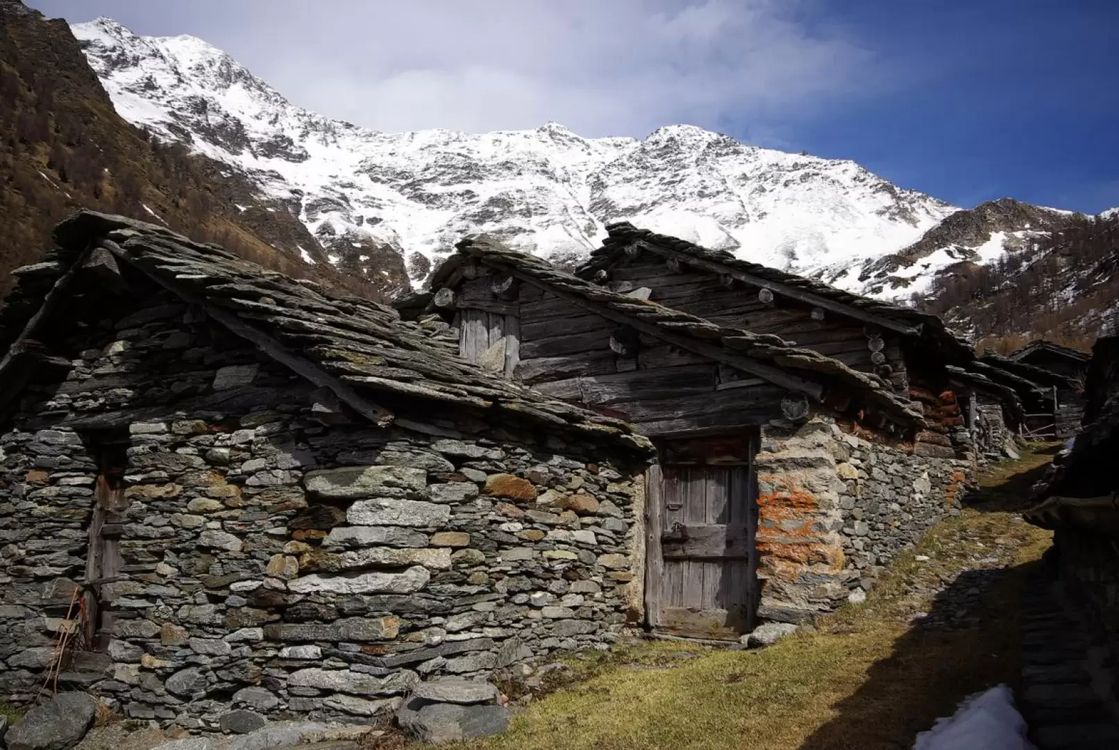
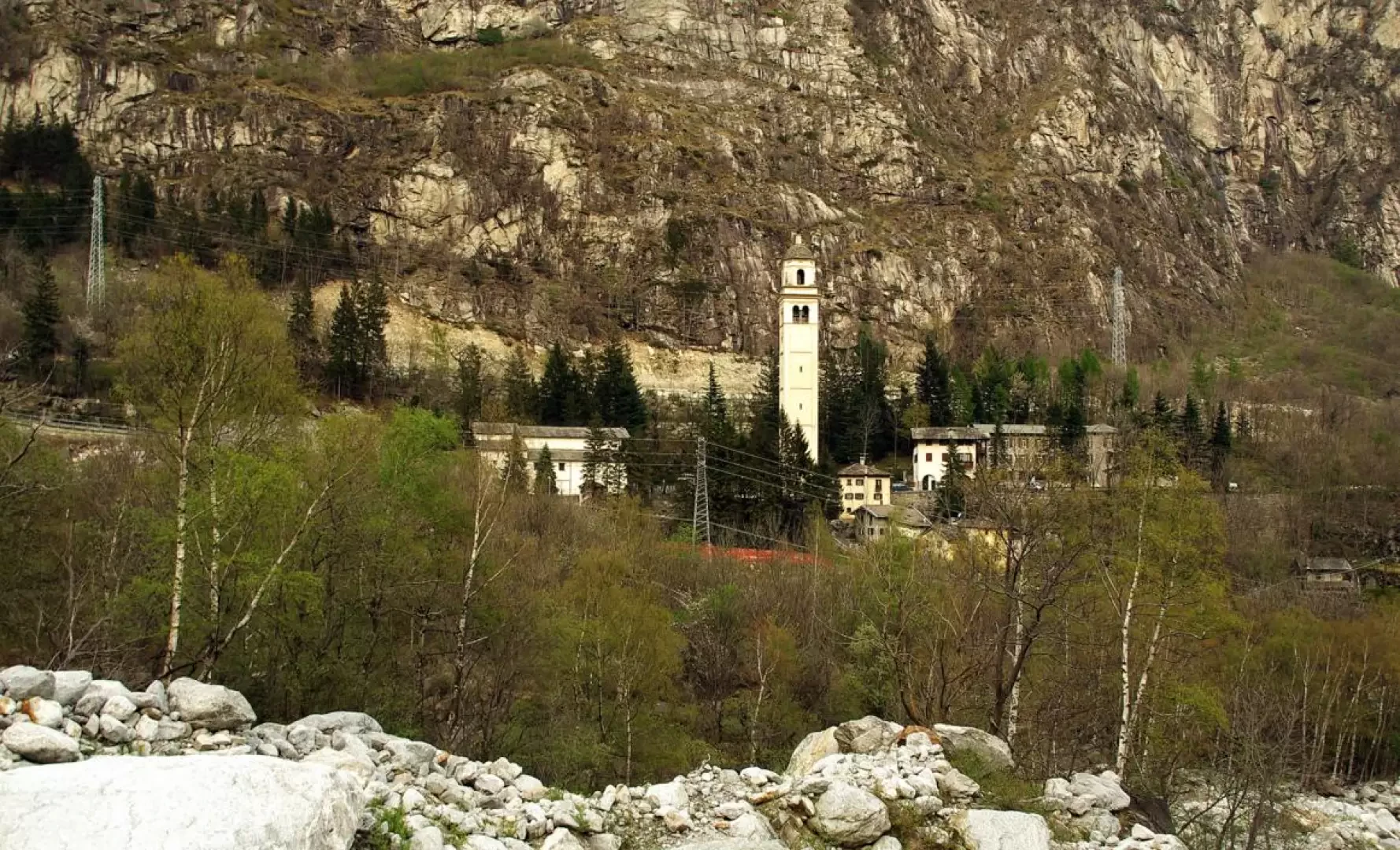
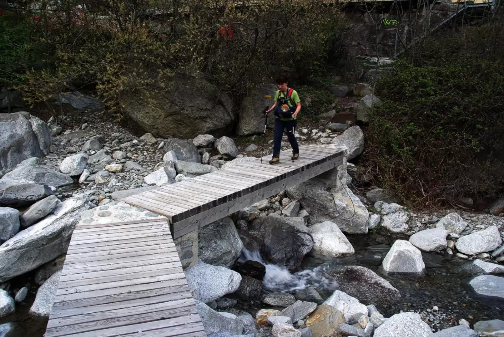
From the small car park near the town hall of San Giacomo Filippo 522m, go up the tarmac road to the hamlet of Uggia 700m and continue as far as the huts at the start of the private track to Dalòo. A mule track climbs to the left between the mountain huts and immediately tackles the steep slope with several cobbled hairpin bends that leads to the grassy terrace of Dalòo 1108m (at the entrance to the hamlet, note a beautiful monolithic fountain located in a cave). Cross between the houses on the main road: at a small square with a second fountain - signposted - go up a cobbled flight of steps on the left that leads back uphill to the village; here begins a gradual ascent into the fir wood on a wide track built between the boulders and the undergrowth: the route alternates between stretches on the flat and very steep hairpin bends. You pass the Presalbert dwellings and the ruins of the Cassinaccia huts and then descend to a small bridge near a waterfall: a further ascent leads to a pair of huts protected by a high overhanging rock face. These are the first of the vast Olcera alpine pastureland at 1513m: a vast grazing terrace overlooking the Spluga Valley with an unforgettable panorama. Leaving the diversions for Crespallo to the right, we continue with a steep descent that leads to the bottom of the dark and precipitous Val Zerta: the path - beaten by landslides and avalanches - is a variable track depending on the situation at the time. On the other side, one recovers the lost height by climbing a continuous flight of steps that runs along - often flanked by a handrail cable - tiny tongues of wooded terrain between looming rock slabs: one comes out on the grassy terrace of Alpe Motto 1670m, where the difficulties end. A long up-and-down stretch through a beautiful fir forest leads to the open spaces of the valley floor at Avero 1678m: a village consisting of a curious circular agglomeration of huts particularly close to each other, overlooking a vast pastureland. On the right-hand edge of this pasture, a dimly visible red arrow indicates the start of the descent path: after fording a stream, follow the narrow edge of a wooded spur bordering on a second watercourse; past this too, descend to the abandoned Alpe Zoccane and undertake a very long, flat traverse that once again leads to the Valle Spluga at a dominant ridge characterised by a wooden cross. From here, after a few comfortable grassy hairpin bends, the mule track enters a debris cone of large boulders: steeply and laboriously it descends to the hamlet of Cimaganda 900m [For several decades now, many of these boulders have been assiduously frequented by bouldering enthusiasts: very varied difficulties]. Follow the state road downhill as far as the car park at the entrance to the village: to the side of the guard-rail begins a little path which, descending through the chestnut grove, allows you to reach Gallivaggio 810m, far from the traffic. Shortly after the second hairpin bend of the state road, to the right and barely visible, a track branches off that leads to Via Spluga (a long trek between Coira and Chiavenna): it is reached by crossing the Liro stream and the waters of Vallesegna on wooden footbridges without railings. In this section, Via Spluga is a recent path built over the excavations for an oil pipeline: the environment becomes more pleasant once you pass the Conoia pumping station; a mule track with ups and downs among the terraced chestnut groves allows you to reach the bridge over the Drogo Valley and then the first houses of the San Giacomo Filippo districts west of the Liro. Following the asphalted road or a stepped shortcut, you arrive back on the state road just a few steps from the starting point.
.Photo gallery
Comments (0)
Sign in to leave a comment