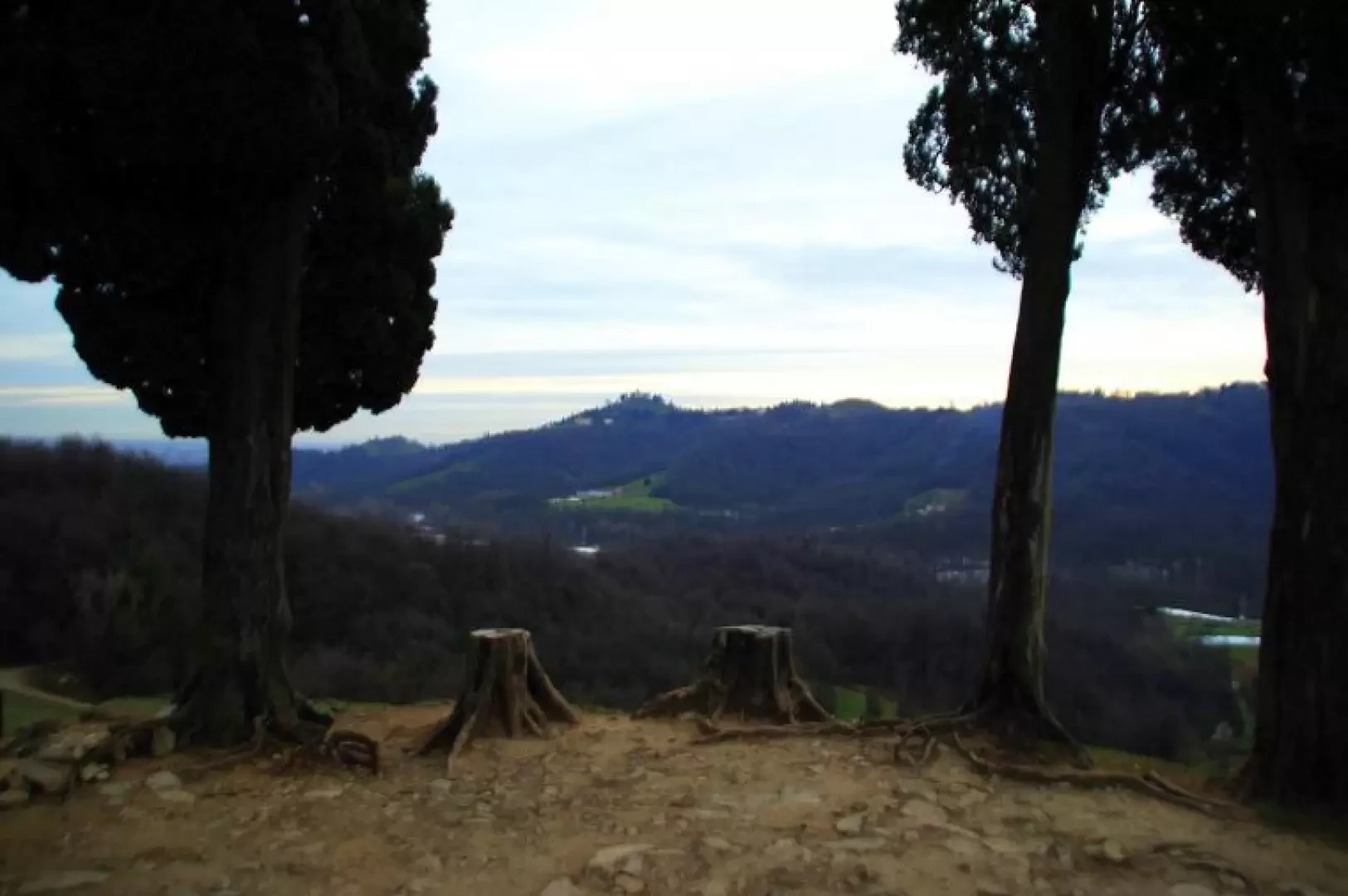
Montevecchia, from Quattrostrade

Access
From Milan, take the Tangenziale Est (Eastern Bypass) to its end at Usmate; continue right along the provincial road until you reach the second set of traffic lights at Cernusco Lombardone. Turn left in the direction of Montevecchia: here, at the traffic lights (locality "Quattrostrade"), go up the hill to the right; almost in front of the modern parish church, a steep downhill lane leads to the car parks at the Park headquarters.
.Introduction
You are inside the 'Natural Park of Montevecchia and the Curone Valley', among the last hills of Brianza, overlooking the Milanese and Bergamo plains. It runs through alternating hills and valleys, which constitute - moraine cordons - the remains of the ancient Adda glacier, here at its last foothills. The land is now almost completely covered by secondary chestnut, oak and locust forests; the ancient farmsteads scattered among the hills are restored or being restored for use as agritourism farms. Some hillsides, on the crags ('runc) of their slopes, are home to recently planted vineyards, as a revival of an ancient local vocation. Viticulture in Brianza - with the production of the modest 'Pincianel' - became extinct due to downy mildew in the years between the 19th and 20th centuries.
Description
From the car park 370m near the Park office, descend along the steep tarmac road and, at the first fork in the road, take the track to the left that, very shady, goes past Cascina Guaidana 342m and reaches Cascina Valfredda 316m. After passing a bottleneck between the rural buildings, on the left of the last one, take a path uphill from the meadows; immediately the track enters the dense wood and with a pleasant route through the small valleys arrives at Cascina del Soldato 328m (home of the ecological guards and a small museum). On the opposite side of the buildings, back in the forest, follow a track that meanders slightly uphill and ends at an aqueduct gate. Ignoring the steps at the building, take the path to the left in the direction of "Sorgenti petrificanti" (petrifying springs): you are descending into a small valley traversed by a rivulet, whose limestone-rich waters tend to mineralise (travertine) everything they bathe. At an altitude of 300m you reach the bottom of the Curone valley near the ruins of the Cascina Ospedaletto. Along a very muddy track ruined by agricultural vehicles, we climb up the valley parallel to the Curone stream until the track - which has become a path - veers to the right and climbs to the hillock of Cascina Busarengo 375m. Continue along the access road, amidst woods and vineyards, as far as Pianello 440m; from here, following the signs to the right, continue along the southern slope of a hill ridge until you reach its 404m end, crowned by numerous old cypress trees. Immediately descend along a steep track to a crossroads: take the central track, which is wide and stony, as a shortcut to the carriage road leading to Cascina Malnido about 300m. Again, you reach the valley floor and, parallel to the Curone, proceed left on the municipal tarmac road until you reach a disused factory 295m: on the right, on the opposite side of the road, a wide white track branches off and heads slowly uphill to Cascina Valfredda. Here you reach the outward path, which, followed backwards, soon leads to the car park of the Park headquarters.
.