Mount Stavello, from Laveggiolo


Edited by:
Marco Bonati
Updated at: 03/09/2024
Access
From Milan to Morbegno along State roads 36 and 38; at the roundabout at the entrance to the town, turn right towards Val Gerola. Go up the entire valley to Gerola Alta and, shortly after the cemetery, turn right following the signs for Laveggiolo. At the last hairpin bend before the small hamlet, park in a large dirt square.
Introduction
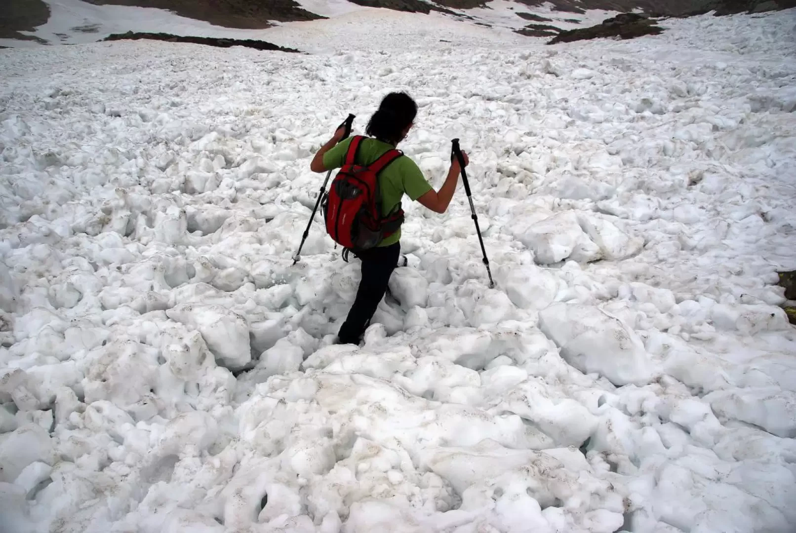
Little-known excursion to a secondary - and easily accessible - peak at the summit of a Val Gerola valley. The panorama is interesting for its unusual views of the valley's main rock groups. High probability of spotting eagles, which nest on impassable walls to the northwest of the summit. Despite the technical simplicity of the route, it should be tackled when the upper slopes have already shed their snow: some of the rock slabs below the summit trigger wet snow slides of not inconsiderable extent.
Description
From the forecourt 1380m, take the visible forest track that is forbidden to unauthorised traffic, passing a few houses, and follow it, passing a further barrier, uphill to a hairpin bend where a wide track 1490m branches off to the right with GVO (Gran Via delle Orobie) signs. The track soon narrows in width and, practically level, leads to the bottom of the Val di Pai at the 1497m bridge that crosses the small stream. On the other bank, we take the steep path to the left that winds its way up through the damp wood until we come to the ruins of some huts 1590m; we continue uphill, finding the ruins of a further hut at 1690m on the side of a clearing invaded by ferns and rhododendrons. A few bends in a beautiful larch wood lead to a wide transverse mule track: ignoring the direction to Alpe Svanollino on the left, climb up to the right on a path carved into the rock face and supported by embankments with drystone walls, long equipped with safety chains. At the top of the ascent, you come out onto the pastures of the renovated Alpe Stavello 1944m; passing under its fenced terrace, you take a downhill path that enters the forest: after losing about 130 metres in altitude, you enter the impluvium of Alpe Combana 1810m. Without descending right to the hut, you head for the adjoining stone corral for the cattle: at the top right-hand corner, you find a track and follow it westwards along the line of maximum slope. From Alpe Combana, there is no longer any signposting, and the path soon disappears as well. Climb up the little valley in successive ups and downs, passing three levels of isolated huts, at 2031m, at 2110m and at 2200m near a puddle/pond; by this time, you have practically reached the head of the valley, at the foot of the border ridge with Val Lesina (Bocchetta del Pecoraio 2305m). Turning to the left, you can now observe your destination: this is the rounded stony peak at the left summit of the valley. Climb up the slopes of minute stones and a few clumps of grass until you reach - bypassing modest slabs of treacherous rock - the east ridge of the mountain: pay attention to the other side, which is grassy and vertical and very exposed. Following vague sheep tracks on the now rounded ridge, in a few dozen metres you reach the summit of Monte Stavello 2416m, a small grassy clearing with a cairn of a few stones. Excellent views of the wild and unknown Val Lesina below and of the distant Ponteranica and Mezzaluna groups. Return along the outward route.
Exposure:
North-East
Starting Height:
1380 m
Ending Height:
2416 m
Difference:
1300 m
Objective Hazard:
Spring wet snow avalanches
Access:


Trivio Val di Pai/Svanollino/Stavello


Photo gallery
Comments (0)
Sign in to leave a comment