Mount Spondascia, from Campomoro


Edited by:
Marco Bonati
Updated at: 03/09/2024
Access
From Milan to Sondrio along State roads 36 and 38; at the roundabout at the entrance to the town, turn left towards Valmalenco. Follow the entire provincial road to its end at the Campomoro locality.
.Introduction
A hike little known in winter mainly for two reasons: need for absolute snow stability and difficulty in finding the route. [The summer hike is greatly facilitated by the large number of cairns and painted signs on the ground]. The technically interesting route due to the steep slopes and the magnificent panorama along the entire route (Pizzo Scalino and Bernina group) are the highlights of this hike. If you would like to reach - from the normal end of the excursion at the vent between the summit and the anticima - the rocky peak, it is advisable to use an ice axe and crampons to traverse the section, which in summer conditions is assisted by progression chains. Pay attention to possible cornices.
Description
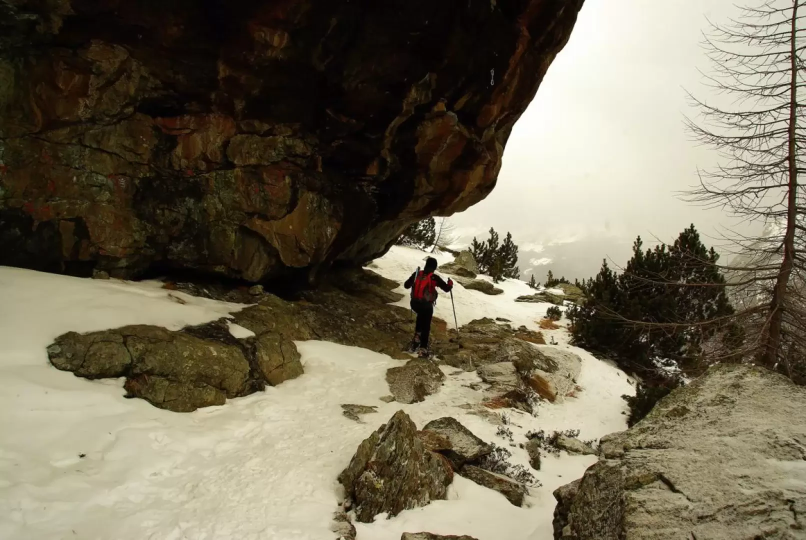
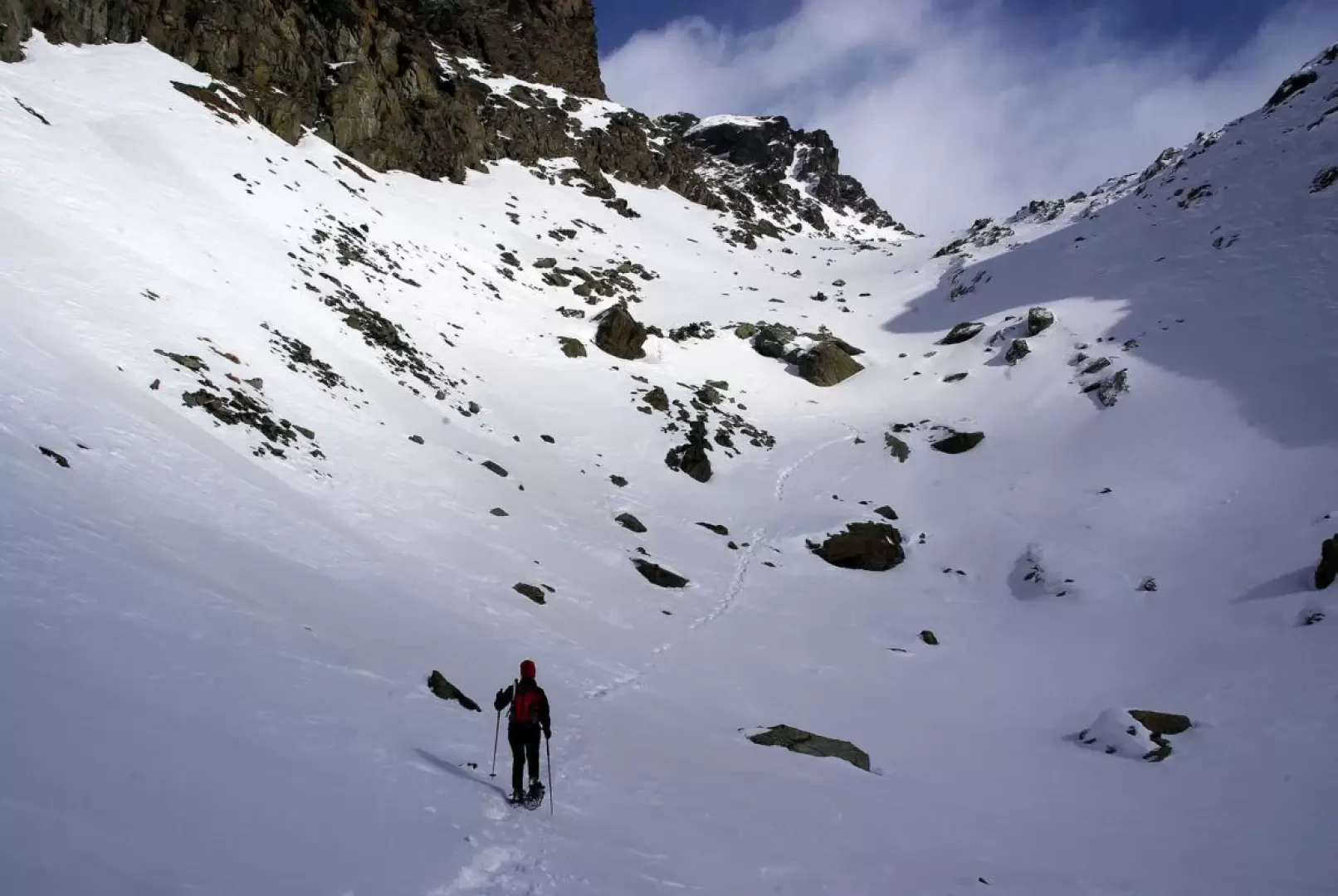
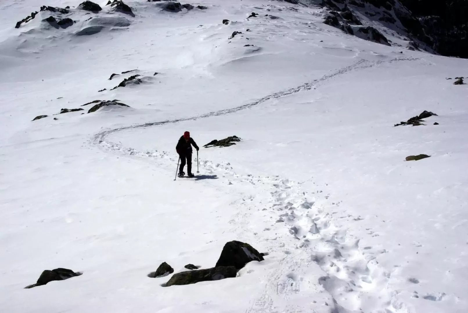
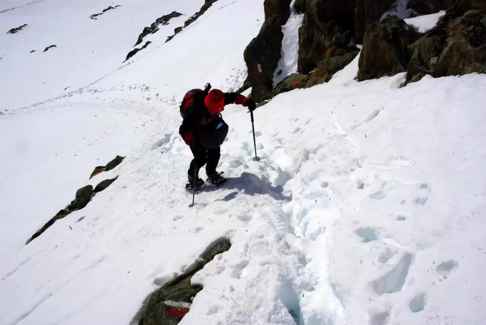
From the car park, the route climbs in just a few minutes to the visible Zoia hut above; it then continues along a vast ridge among the mughoi to head towards notable rocky structures (Palestra dello Zoia, medium-high difficulty) which you pass underneath with a few gentle ups and downs. Just beyond the junction with an overhead water conduit (hitherto a beaten track for the numerous passages towards the Alpe di Campagneda and the Cà Runcasc hut), at a post, turn left and begin to climb along a vague, sparse, tree-lined valley. Continue as best you can, spotting the few signs visible on the large boulders and the branches of the larch trees that have been cut down to make it easier to pass in summer, until near Q 2372m of the mountain's south-west ridge. We follow its wide ridge (possibility of poor snow or poor quality due to wind activity) until it becomes excessively rocky: from here we go right along a sort of wide sloping ledge that leads to the entrance of a wide gully. At its summit, a nice ledge (summer ponds) introduces the key passage of the ascent (it is useful to remove the poles, especially on the descent): a very steep slope with outcropping rocks allows you to gain a hundred metres in height until you reach another ledge (another summer pond). From here, the continuation of the excursion is evident: a wide gully, rather steep and delicate in the last third - slabs - terminates at the vent between Monte Spondascia and its detached anticima. Watch out for possible overhanging ledges on the northern couloir towards the Val Poschiavina. The ground conditions should be carefully assessed for a possible ascent to the summit of Spondascia: there is a short chimney-channel, a smooth slab, a ridge section with cornices to the north, a snow-covered ledge and finally the summit plane of piled blocks. Descent by the outward route.
Photo gallery
Comments (0)
Sign in to leave a comment