Monte San Genesio
Access
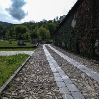
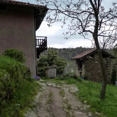
From Milan, follow the SS 36 dual carriageway to the Annone exit; continue in the direction of Oggiono and from here turn right to Dolzago. At the roundabout at the entrance to the village turn left, passing the town hall and a large church (a stream flows on the left). At the top of the gentle slope park alongside a cobbled driveway. More parking spaces are available on the last stretch of the route.
Introduction
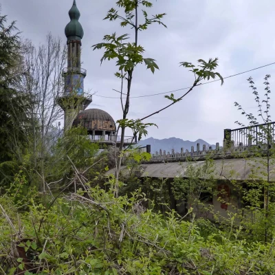
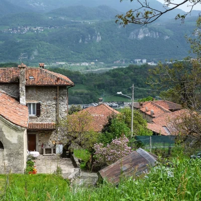
Circular trip around the so-called Monte di Brianza, a group of wooded heights aligned along a morainic cordon of the ancient Adda glacier. The whole area is dotted with isolated clusters of farmsteads (now mostly abandoned) and a few small hamlets that have grown up around a chapel (often all that remains of ancient Cluniac monasteries dating back to the Middle Ages). More modern and remarkable is the story of the village of Consonno: the church of San Maurizio and its rectory now remain; the rest is a pile of rubble and scenic wreckage. In the early 1960s, the original village was bought by a building contractor and razed to the ground, with the intention of building a sort of small Lombard Las Vegas in its place: a minaret, a mosque dome, a Japanese bridge and some abstract monuments are still recognisable. The initiative was quickly aborted and decadence began; a building destined to become a hotel housed a rest home for the elderly for a few years, but this too is now empty and heavily vandalised.
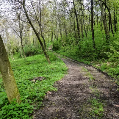
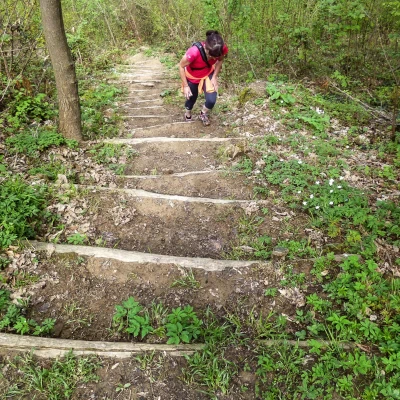
The hike, given the modest altitude, is practicable all year round, but the large amount of mud and clay in the ground recommend a visit away from the rainy season.
Description
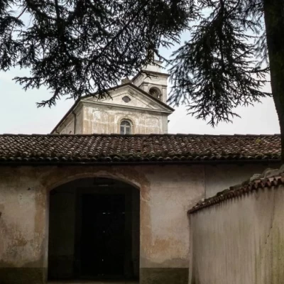
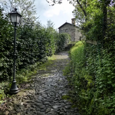
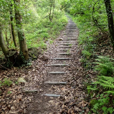
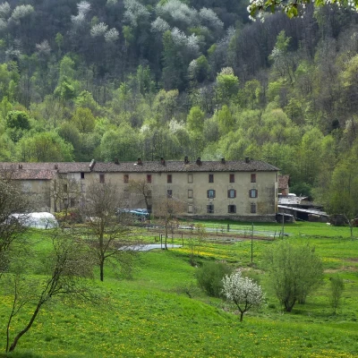
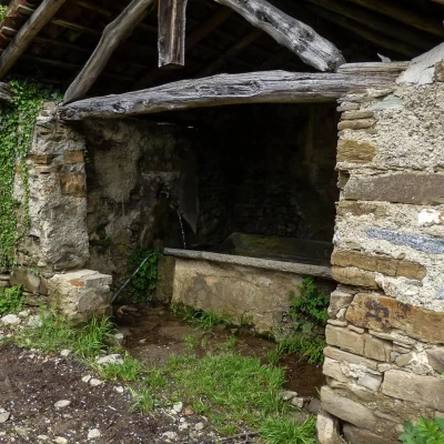
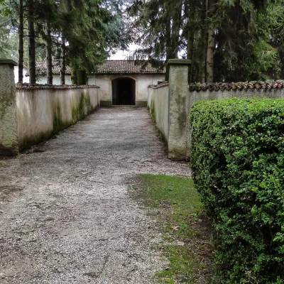
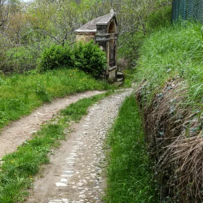
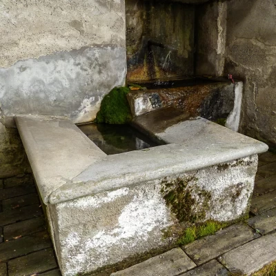
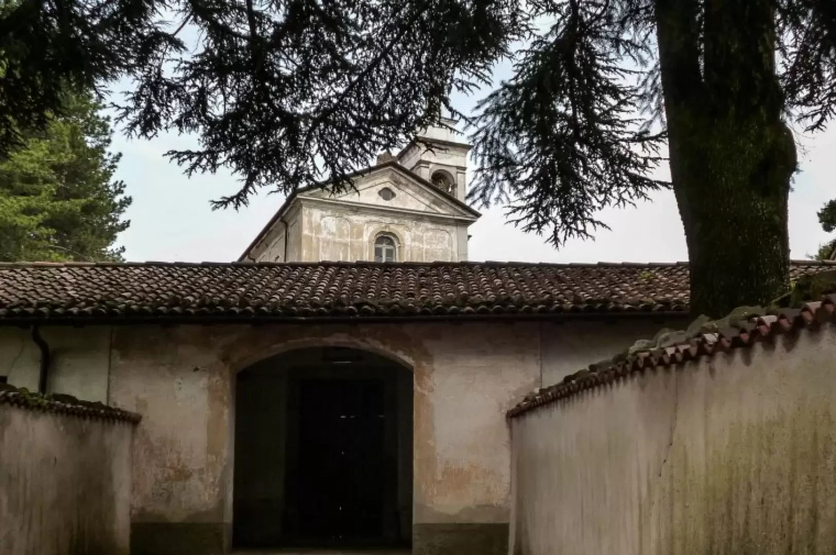
From the car park in the hamlet of Cogoredo 355m, following the cobbled road that turns into steep steps, climb up to the small church of Sant'Alessandro (12th century, but practically rebuilt with material from the ruins); just behind the apse you will notice the sign for the path that continues grassy. Beside the houses of Cavonio 395m, the path leads comfortably through woods and meadows to ford the Gandaloglio stream (difficult crossing in the event of a flood) and continues until it joins an asphalt road near a fountain at Fura 379m. Follow the road uphill to the hamlet of Marconaga 420m: beside the church of San Bernardo (17th century), follow a track through the woods that leads to Ravellino 599m (difficult to navigate). From the little square, follow the signs to cross an asphalt road and then continue along a path through the woods: sometimes crossing confused temporary cart tracks for forest activities, you arrive at the hollow of meadows (known as 'Badia') of Figina 632m; this is a vast farmstead with an artistic manor house and the church of Santi Nicolao e Sigismondo. Continuing on through a nursery of ornamental plants, we re-enter the woods and a path with ups and downs leads to a very bumpy asphalt road that, skirting the slopes of Monte Regina, to the right, accompanies us to the ruins of Consonno 627m. To the side of what remains of the rest home, signs guide us to a cart track that enters the woods; turning into a wide path, it proceeds up and down until it crosses the village of Dozio 584m, then descends to Biglio Inferiore 498m. From here, a steep ascent on cobblestones resumes, winding its way up the meadows to Biglio Superiore, with several buildings now in ruins; at the fork, turn left and proceed through the woods: avoiding the direction for Campsirago (former monastery, former hippie community, now a fine residence), you begin the ascent to Monte San Genesio 846m. [In this section every fork or change of direction is precisely signposted]. We find ourselves on a wooded rise largely occupied by a masonry enclosure: at the highest point stands a church originally dating back to the 10th century, home until 1947 to a community of Polish monks; it is now privately owned. From the small square in front of San Genesio, one enters the dense coniferous forest on level ground and takes a rough path that descends the slopes of the mountain to the houses of Fumagallo 768 m; one continues through the woods, crosses a disused asphalt road and continues on a comfortable cemented road, gradually descending in altitude. Leaving aside the detours to the church of San Nicola and the Alpe hut, we reach the houses of Scerizza 680m: crossing them, in a few bends we pass the smaller Scerizzetta. Where the asphalt road curves to the left, we detach near a farmstead on the right and descend a very steep grassy path that then, more comfortably, reaches a provincial road not far from a votive chapel. After crossing the road and the adjacent car park, you enter the houses of Ravellino: in the small square you will find signs leading back to the outward route.
General information
Signposts:red/white/red, yellow
Type of route:partially circular
Recommended period of time:all year round
Objective hazard: very slippery in rainy weather
