Mount Pedena


Edited by:
Marco Bonati
Updated at: 03/12/2025
Access
From Milan to Morbegno along state roads 36 and 38; at the third crossroads, turn right in the direction of Passo San Marco and continue beyond the village of Albaredo to a valley floor where you will find the conspicuous signs for the Rifugio Alpe Lago. Car park in a widening at the side of the road.
Introduction
A hike better known in its ski mountaineering version, but nonetheless of good scenic interest; it follows paths now abandoned by the shepherds and, upwards, vague traces on an intuitive rocky path.
Description
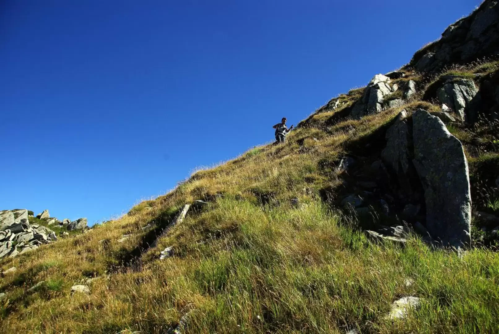
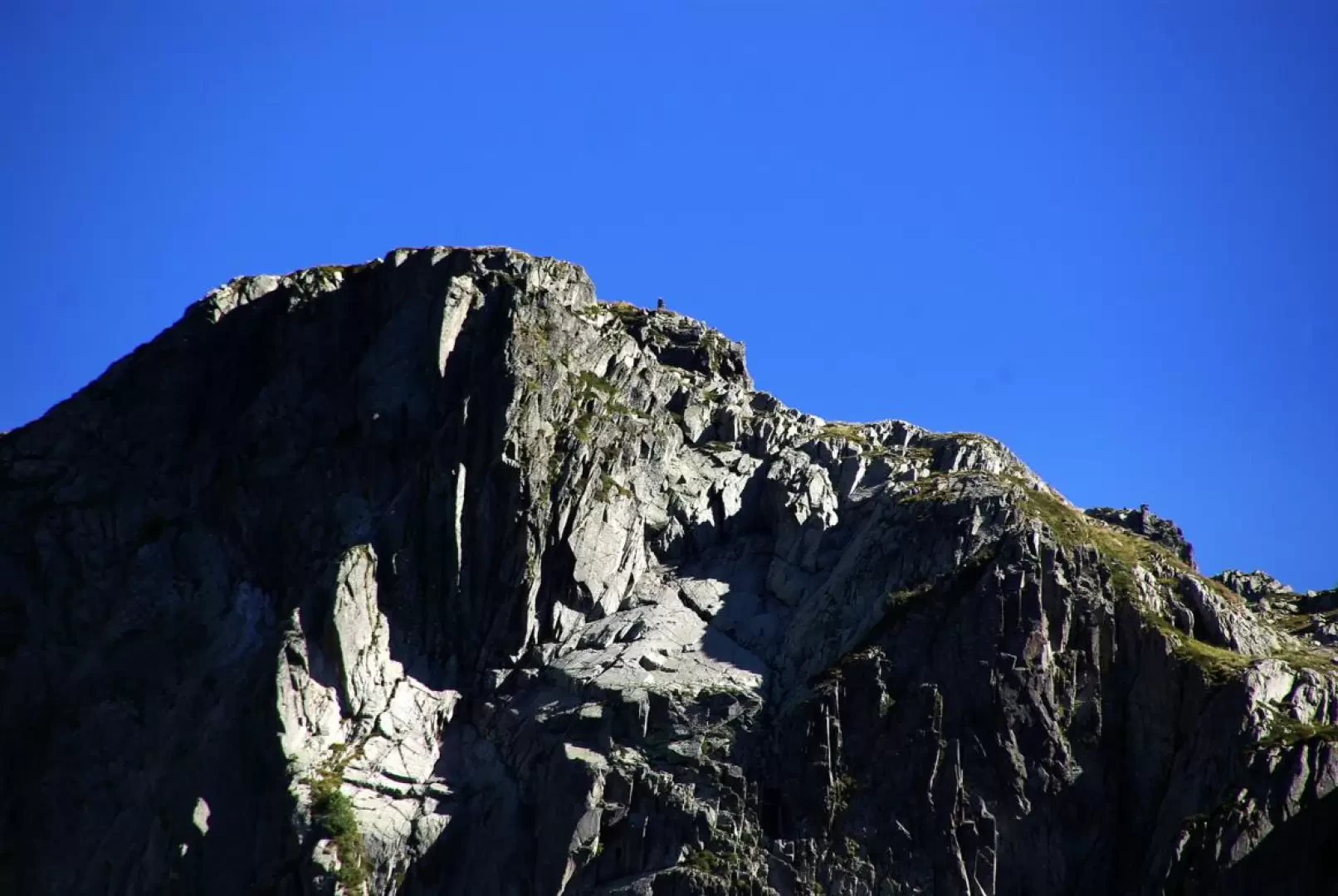
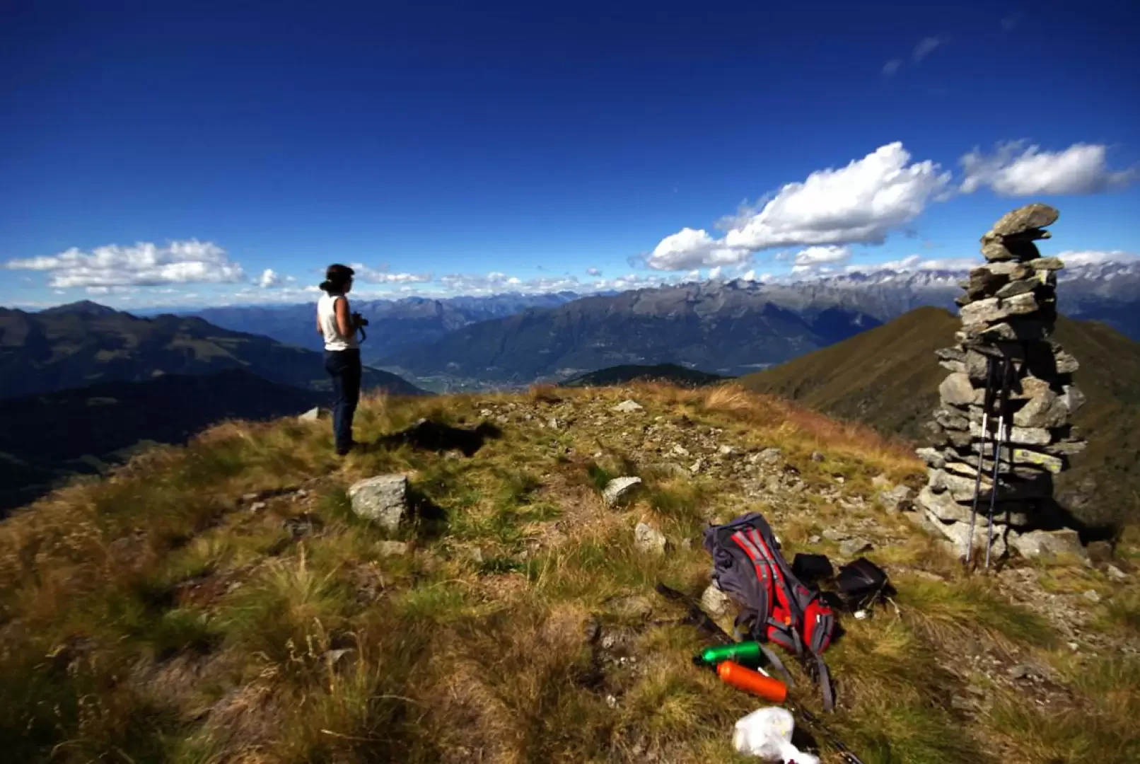
From the parking area (1500m), go up to the Rifugio Alpe Lago 1557m along a wide, stepped mule track and pass it on the right on the track that has become a path; winding through the pastureland, go up to an isolated hut where the route forks: you must, however, reach a ridge above with a cross and, going straight up along the line of maximum slope, you shorten the time; turning right, you reach a grassy valley among the larches that reaches the ridge with an easy traverse. Near the cross we find the Baitone 1909m, which precedes a wide plateau with a small lake (somewhat hidden on the right, Laghetto di Monte Lago 1910m) guarded by a last hut. From here the signs disappear and the track becomes very faint and intermittent. You cross the plain and begin the new ascent, taking as your objective an evident notch (nozzle Q2108, practically impassable on the other side) until you find signs of passage in the rocky and craggy terrain that go around the basin of rocks behind the lake basin. One proceeds in a sort of wide gully of blocks (it is better to keep to the right by taking advantage of more comfortable grassy ledges) in the direction of a rocky rampart that appears to be the summit of Monte Pedena; one easily climbs the side of a grassy rib - the shoulder of the rocky rampart - and one reaches the foot of a steep slope. One climbs up among stones and little grass to a rocky summit with a high stone cairn overlooking the valley: this cairn, visible almost from the lake, is very useful for getting a rough direction. From this sort of anticima, by means of a short crest of rather exposed stacked blocks, you reach the convenient summit of Monte Pedena 2399m, also with a high cairn of stones.
Return along the outward route.
General Information
Trail:
Signposts:
Type of route: a/r
Recommended period: May, June, July, August, September, October, November
Sun exposure north-west
Objective danger:none
Exposed sections: the last very short ridge
Useful equipment:normal hiking equipment
Photo gallery
Comments (0)
Sign in to leave a comment