Monte Colombarolo, from Pescegallo


Edited by:
Marco Bonati
Updated at: 03/09/2024
Introduction
A short classic excursion that, with a moderate difference in altitude, leads through three valleys to the extreme eastern elevation of the Pizzi di Ponteranica group. The fortifications of the Cadorna Line at the Verrobbio Pass are very interesting and well-preserved, and encounters with groups of ibex are likely. The panorama, very extensive due to the isolation of the peak, ranges from the peaks of the Val Brembana to the entire Retiche arc from the Spluga Pass to the Bernina group.
Description
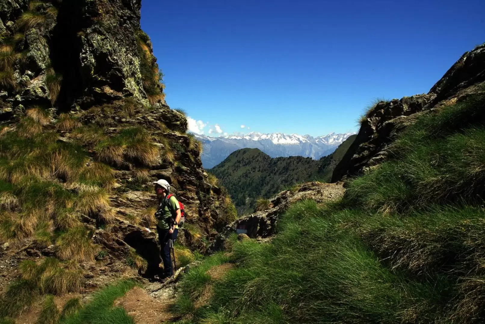
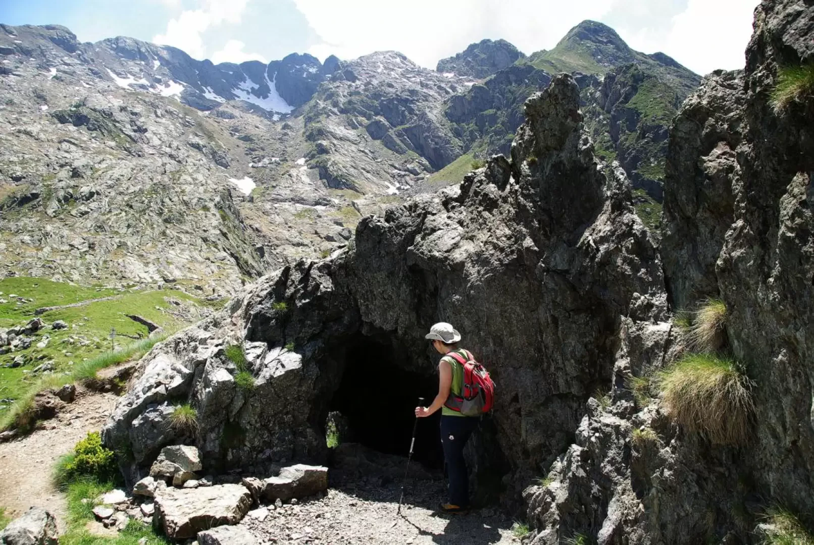
From the parking area 1425m, take the small road to the left of the apartment building closest to the chairlift station and climb up it briefly until you meet - shortly after crossing the stream - a path on the right: go past two mountain huts and, near a third isolated one, the mule track marked for Lago Pescegallo begins. The climb is immediately intense along a flight of steps that heads towards the larch grove above, then softens into a series of comfortable hairpin bends that lead to a forest track near the Casera Pescegallo Lake 1778m. Follow the off-road track until you reach the Lago Pescegallo dam at 1865m: walk along the wall and - signposted - continue along the eastern side of the lake to a fork in the road. Take the path that climbs to the left: a series of stony hairpin bends leads to the narrow notch of the Forcellino 2050m, an obligatory crossing point between the Cima del Larice and the Pizzo della Nebbia. We lose altitude steeply for a few tens of metres (a short, useless equipped section) and cross the head of the Val Bomino on a false level to the meadowy basin of the Passo Verrobbio 2026m, preceded by a pretty little lake that is very popular. The remains of the Cadorna Line are notable here: trenches, gun emplacements, storage tunnels and what remains of a small barracks; following the south-facing trench, which ends in a fortified observation emplacement, you abandon the painted markings and ascend a wide, rocky, grassy ridge. The vague traces of a path and some stone cairns lead between rock slabs (dark red Lombardy verrucano) and temporary lakes to the rocky base of the summit, which can be climbed from the two east and west ridges. Choosing the more technical west (right) side for the ascent, one continues between ledges and grassy terraces up to a steep stony slope that leads directly to the last metres of the ridge of Monte Colombarolo 2309m. For the descent, follow a track in the opposite direction to the arrival route and, as soon as it is convenient, descend to the left over grass and stones until you reach the cairns followed on the ascent. From here take the outward route.
Photo gallery

Comments (0)
Sign in to leave a comment