Mont Jetire, from Piazza Aosta to Saint-Vincent


Edited by:
Massimo Martini
Updated at: 04/05/2025
Access
Leaving the unable to parse at the Châtillon/Saint-Vincent tollgate, head towards Saint-Vincent. Once in the spa town you can leave your car in the various car parks available and then head towards Piazza Aosta (town hall square), the starting point of the itinerary.
Introduction
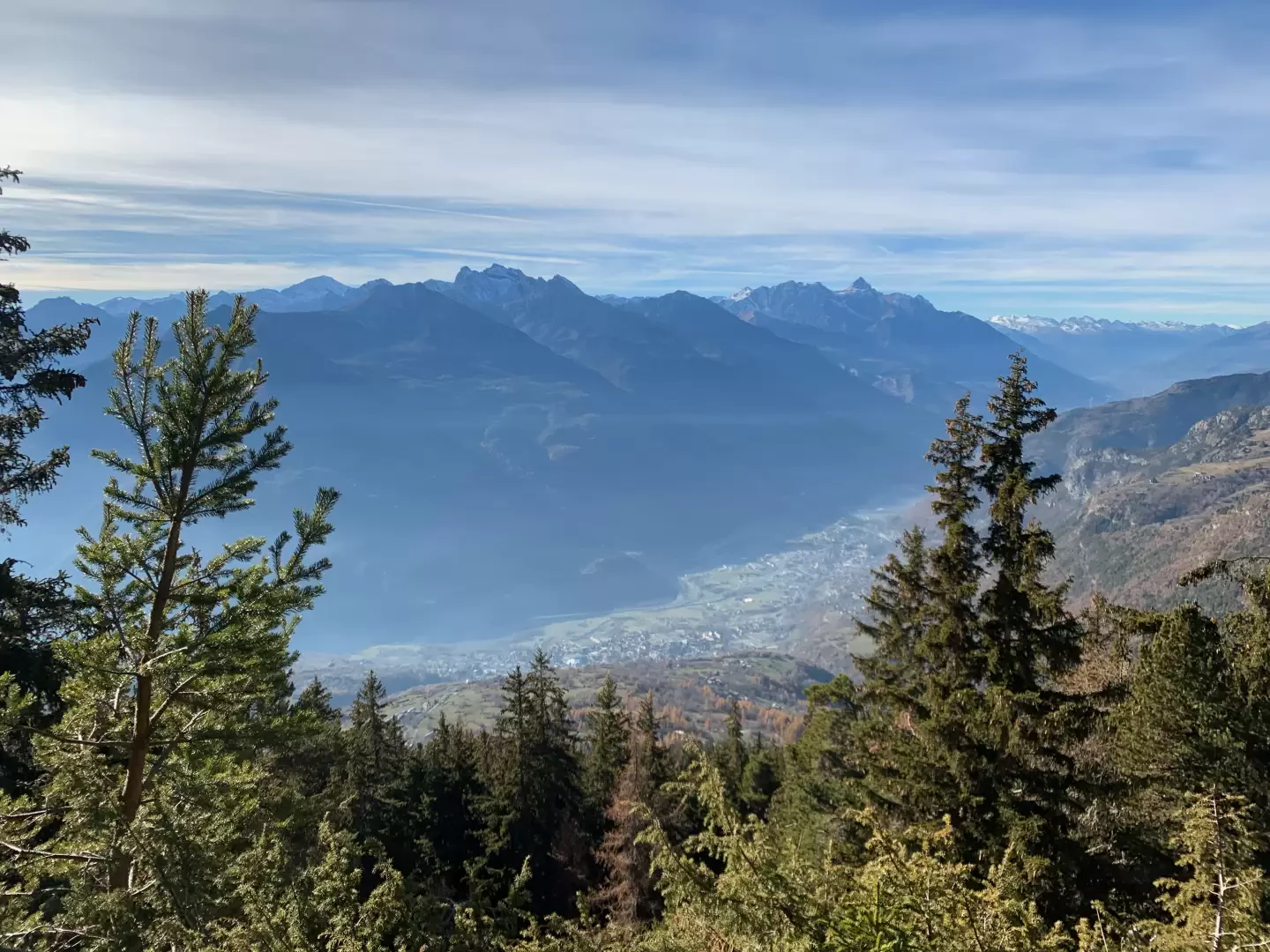
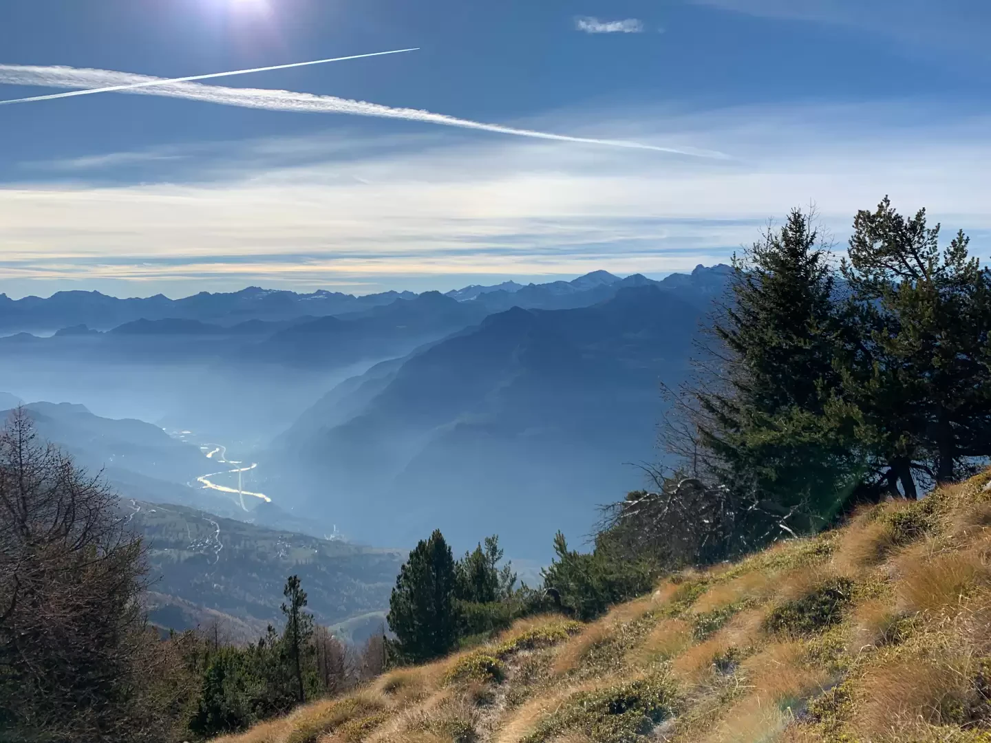
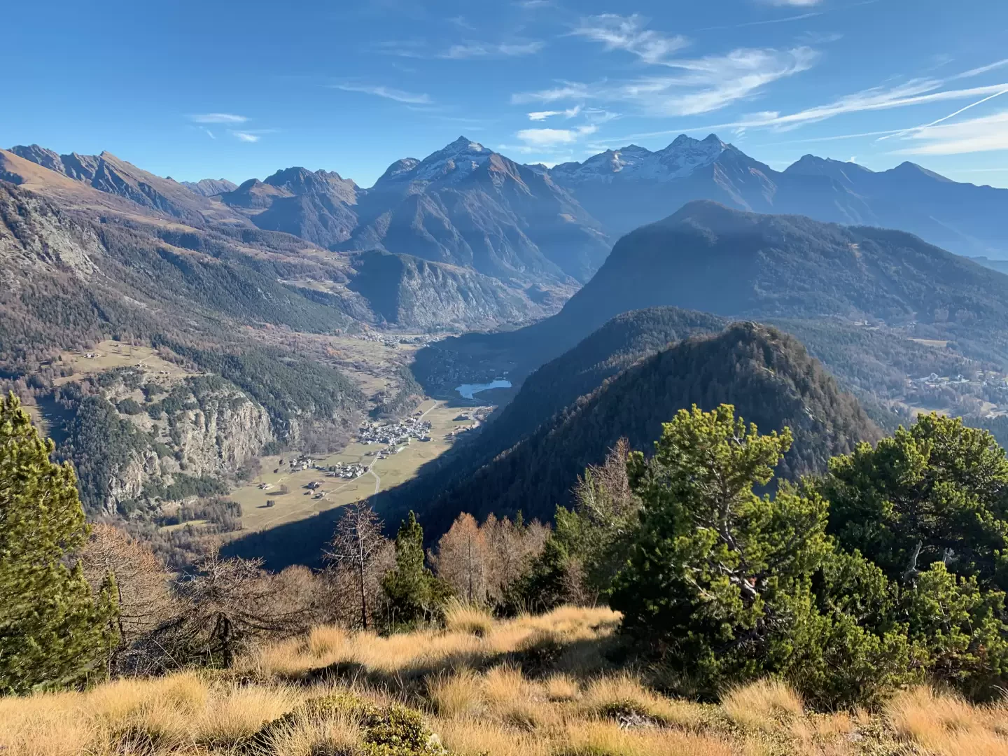
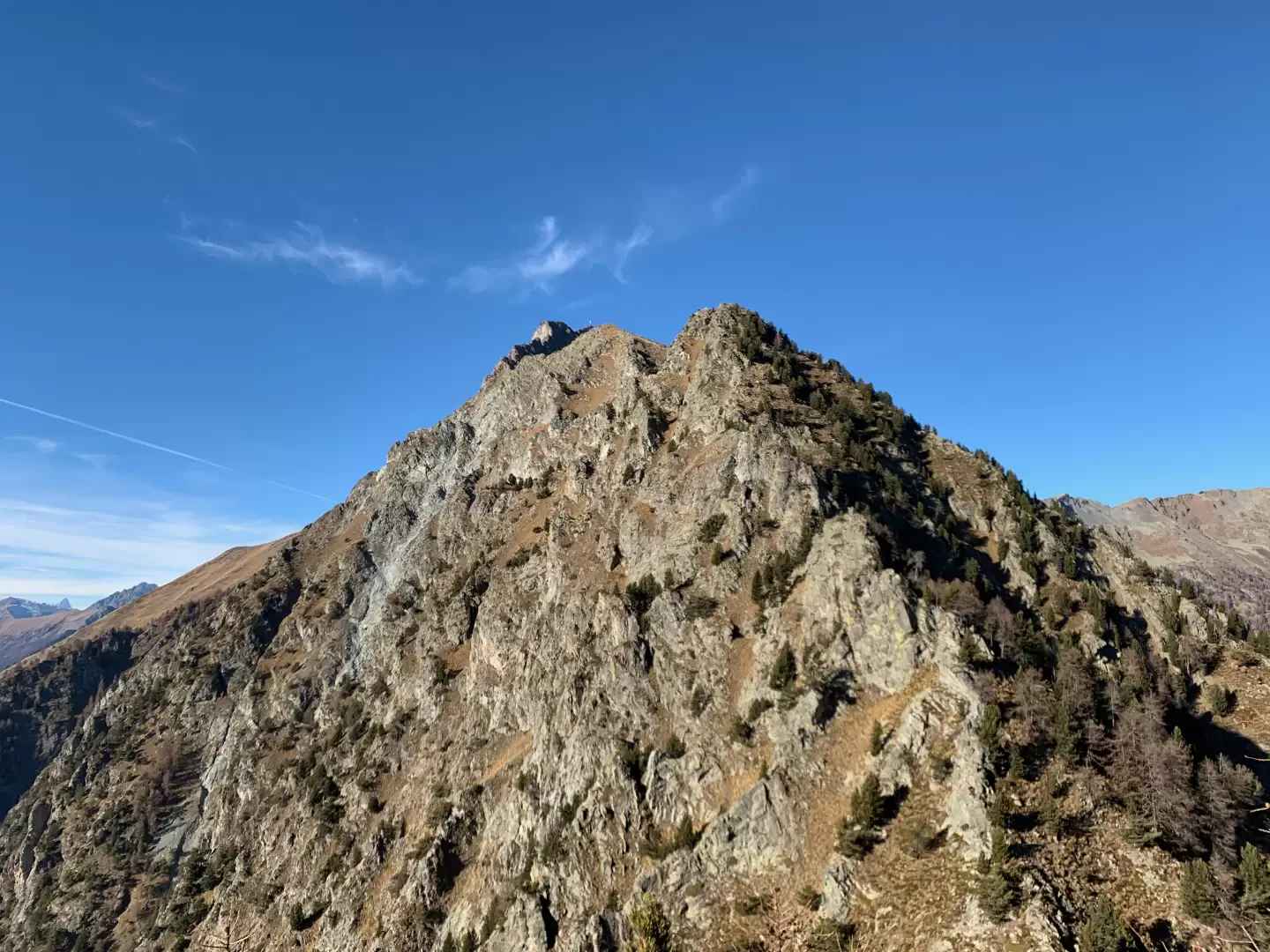
Mont Jetire is a peak over 2000m high located along the south ridge of Mont Zerbion. This itinerary is little known but fascinating, requiring a minimum of attention in finding the path in the final part. of the path in the final part.The landing on the particular summit composed of three summit points, offers interesting views of the middle Valle d'Aosta as from the summit one can fully appreciate the curvature of the valley generated by the Balteo Glacier. The route described here starts from the centre of Saint-Vincent and is fairly demanding in terms of height difference, but access to the summit can also be made starting from the Partisans' Chapel, Fromy or Col de Joux, reducing the difference in altitude to just over 500m.
.Description
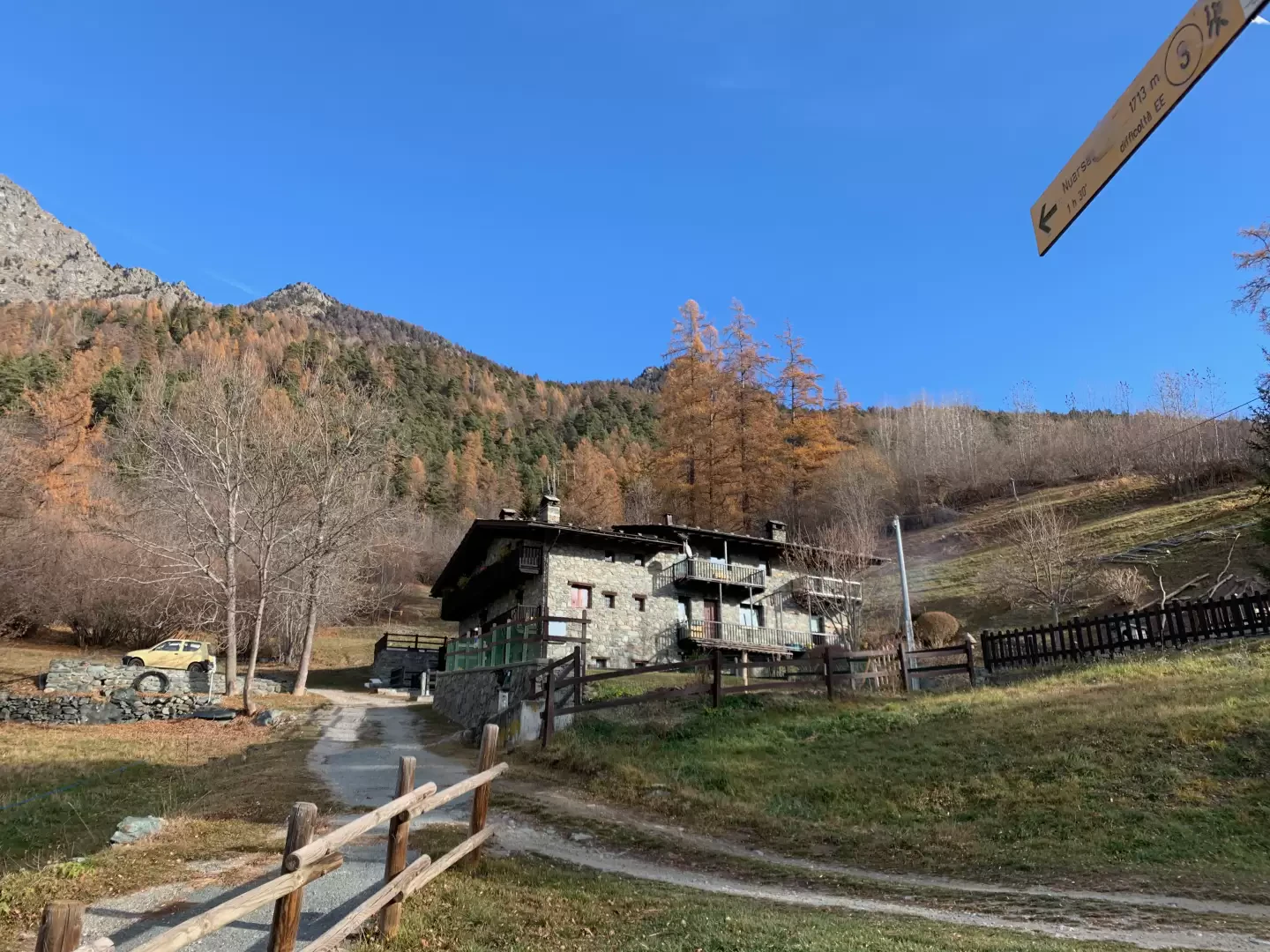
0h00' The route begins in Piazza Aosta, in front of the characteristic Saint-Vincent Town Hall building you will find a flight of steps leading up Via S. Cretier, a small pedestrian alleyway which quickly leads to Via E. Chanoux. Cross the main street of the spa town procecing onto Via J.B. Perret, which soon leads to Via Roma; cross the latter and, to the left of a fountain 💧, take the narrow Via de Clos that climbs up through the houses💧until you reach Viale IV Novembre. Cut across the bend in the avenue onto a lane and, having crossed the road at a pedestrian traffic light, go up a path through the village of Ecrivin until you reach Via Mont Blanc. Turn right, then immediately left to go up Via G. Charrière at the end of which the path marked by a signpost begins, leading to Capella dei Partigiani 2h45min.
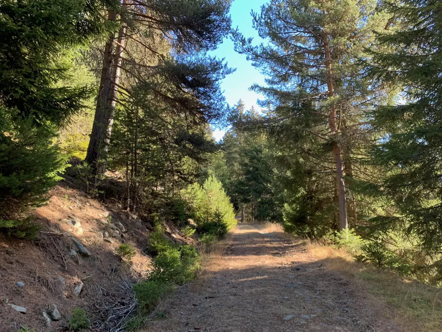
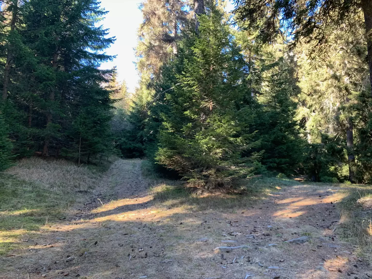
0h10' Take the path that climbs up the steep slope, leaving the last houses of Saint-Vincent behind, and after about one hundred metres turn right, comforted by a signpost, continuing along the mule track that quickly allows you to gain height while opening up interesting panoramic views of the town below. Disregard the junction for the thermal baths and complete the first part of the ascent, reaching the village of Clapeon (704m), where there is a fountain 💧. Cross the hamlets until you come to a new marker post with signs for Maison Neuve, ignore this fork as well and continue straight on until you come to a small tarmac road.
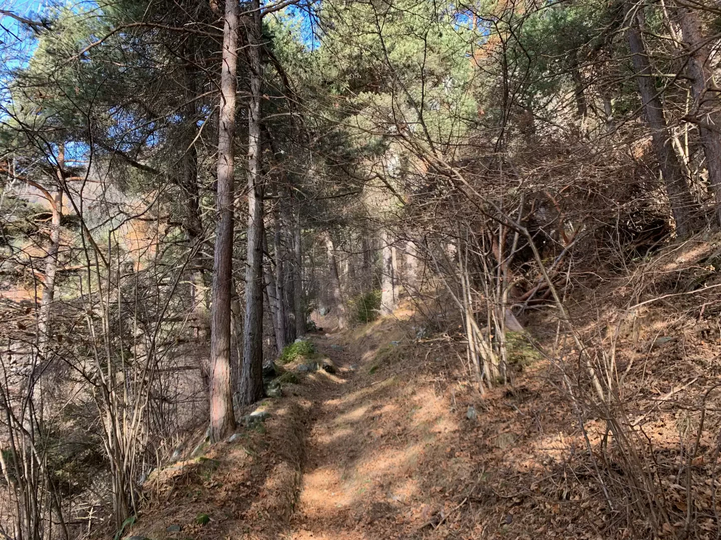
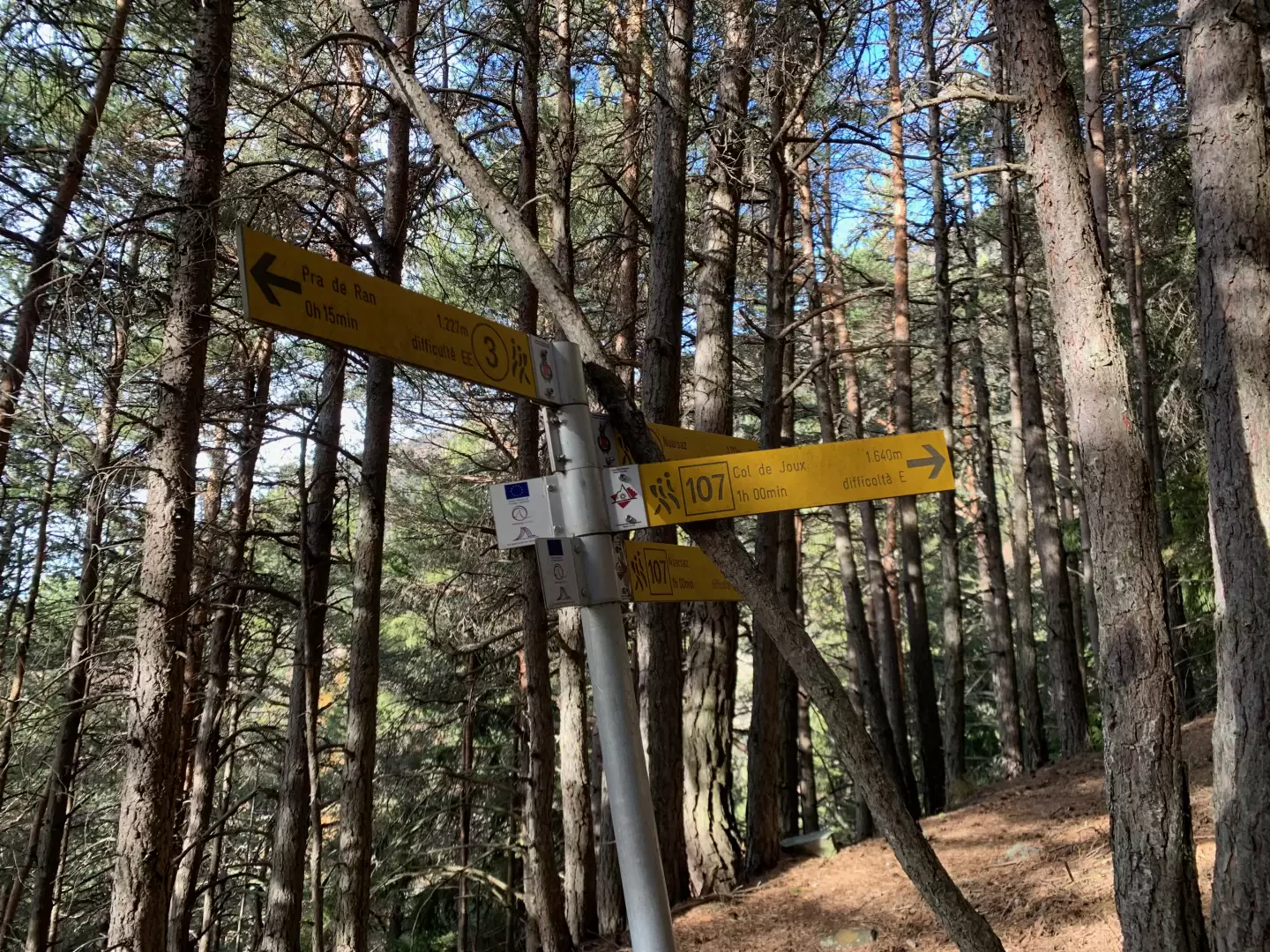
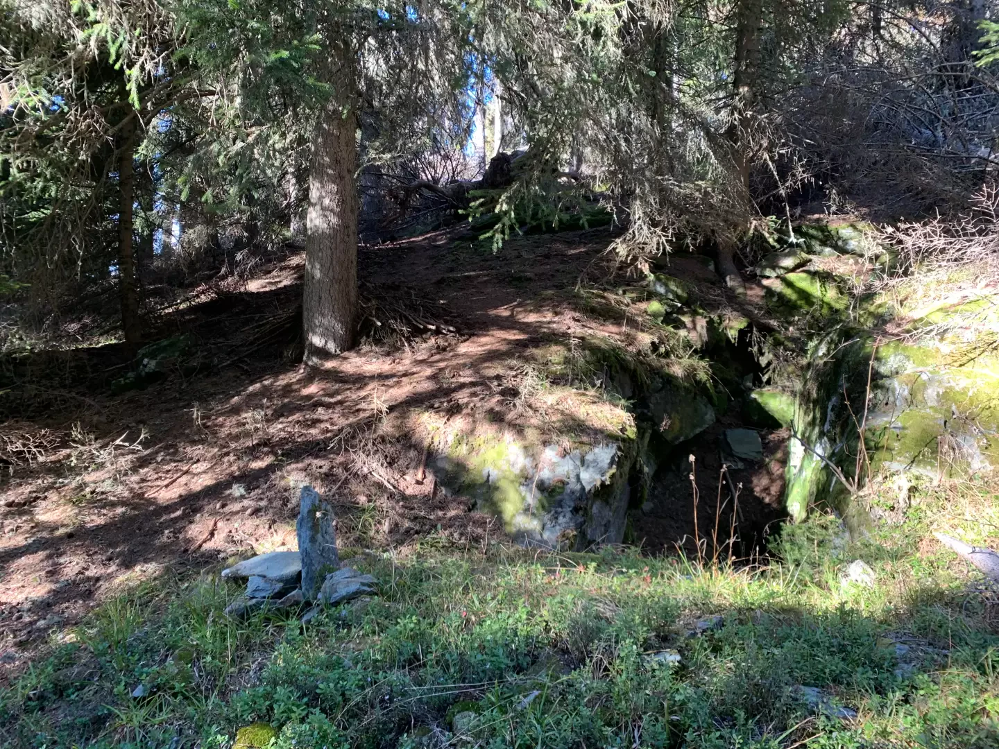
0h20' Cross the small road and continue along a first stretch of path which, at a marker post, joins a spectacular mule track known as the "Polish Road" because it was built by Polish prisoners during the First World War. After a couple of hairpin bends, cross the Ru Péon and continue through the beautiful oak forest (Quercus pubescens) until you come to the characteristic and unexpected oratory of Giancan, built in the middle of the forest. Continue along the mule track in one of its most picturesque sections until you come to a new marker indicating the junction between trail and trail to Col de Joux.
0h50' Turn left and continue uphill without too steep a gradient until you come to a pair of rapid hairpin bends that cross a rocky drop and lead to the pastures that anticipate the village of Dizeille (959m) 💧, which you will reach from there in a few minutes.
1h00' After taking a look at the colourful oratory of Dizeille, head towards the communal road, which should be followed for a few dozen metres before turning onto a farm track on the left that first climbs up a wooded belt and then enters the pastures before reaching the village of Perrière (1036m).
1h10' Having passed the old primary school building, proceed for a short distance on the municipal road before turning left and entering the village. Continue leaving the houses on the right until you come to a fork in the road: keep to the right and climb up the wood on the wide tractor-track, which you must leave after a couple of hairpin bends to continue along the lovely path bordered by stone retaining walls. At the end of an almost flat section, turn left and climb up the pastureland, crossing a short wooded strip. Continue until crossing the tractor track again, which, without any orientation problems, leads to the municipal road to Pradiran. Cross the road and take the path again, which soon leads to the low hamlets of Pied Martin (1012m) 💧. Continue again for a short distance on the communal road to rejoin the path a little further on, which reaches the communal road for the last time at the crossroads for Nouarsaz.
1h45' Continue on trail , indicated by a signpost, leaving a hamlet on the right and, after turning left, go up the wooded slope on a comfortable path until reaching the junction with trail of the Great Matterhorn Balcony, indicated by a signpost.
2h00' Neglect the path to the left and take the path to the right that climbs the forest at a steeper angle. You quickly gain height and, after a few short turns, turn right as the slope becomes gentler until you come to a farm road anticipated by a new signpost.
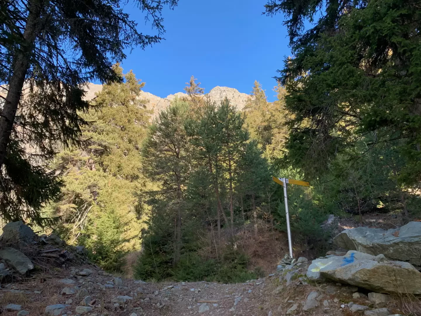
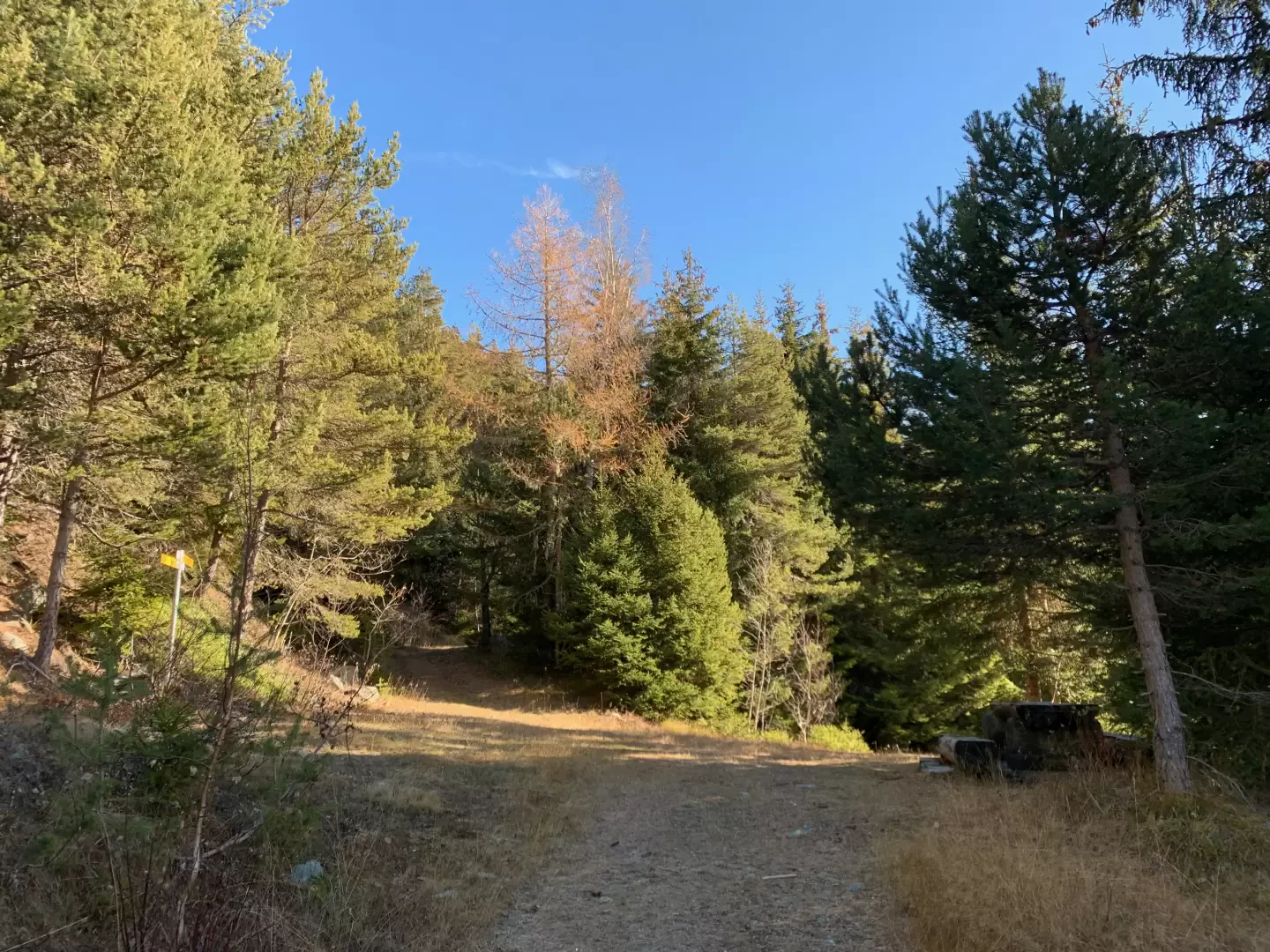
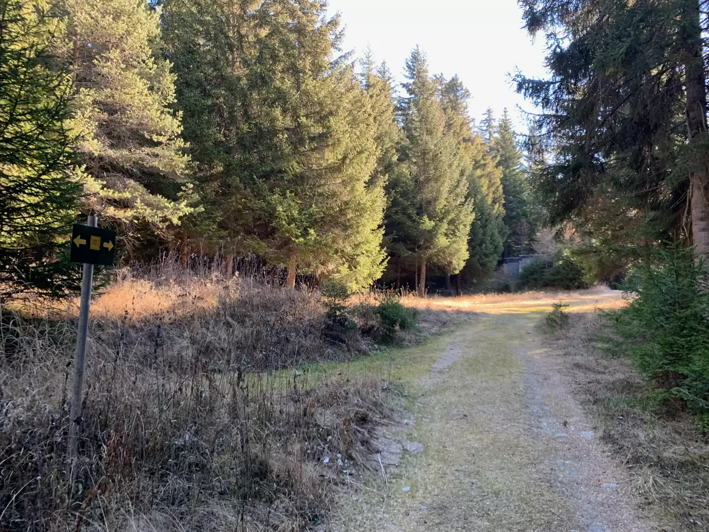
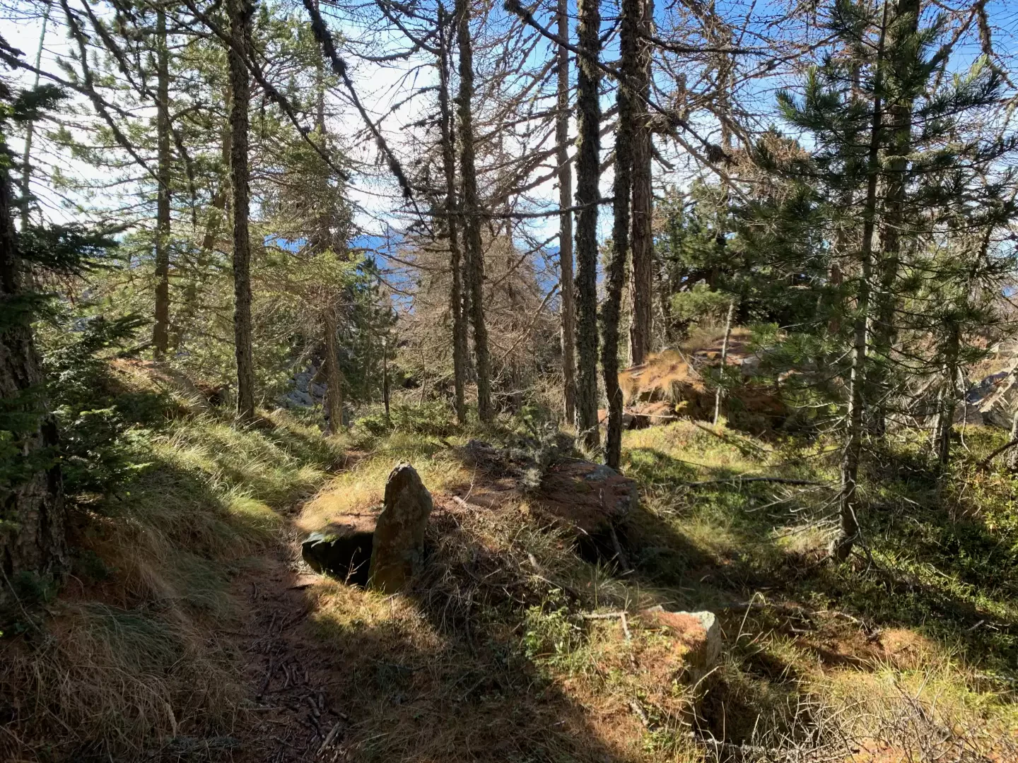
2h20' Turn right and follow the farm road for about one kilometre until you come to a fork where you keep to the left and continue along a grassy track that flattens out and, once you have entered the wood again, descends for a short distance before climbing up again and, after another kilometre or so, reaches the starting point of the final path, a position that can be identified by a metal panel on which the path marker is painted.
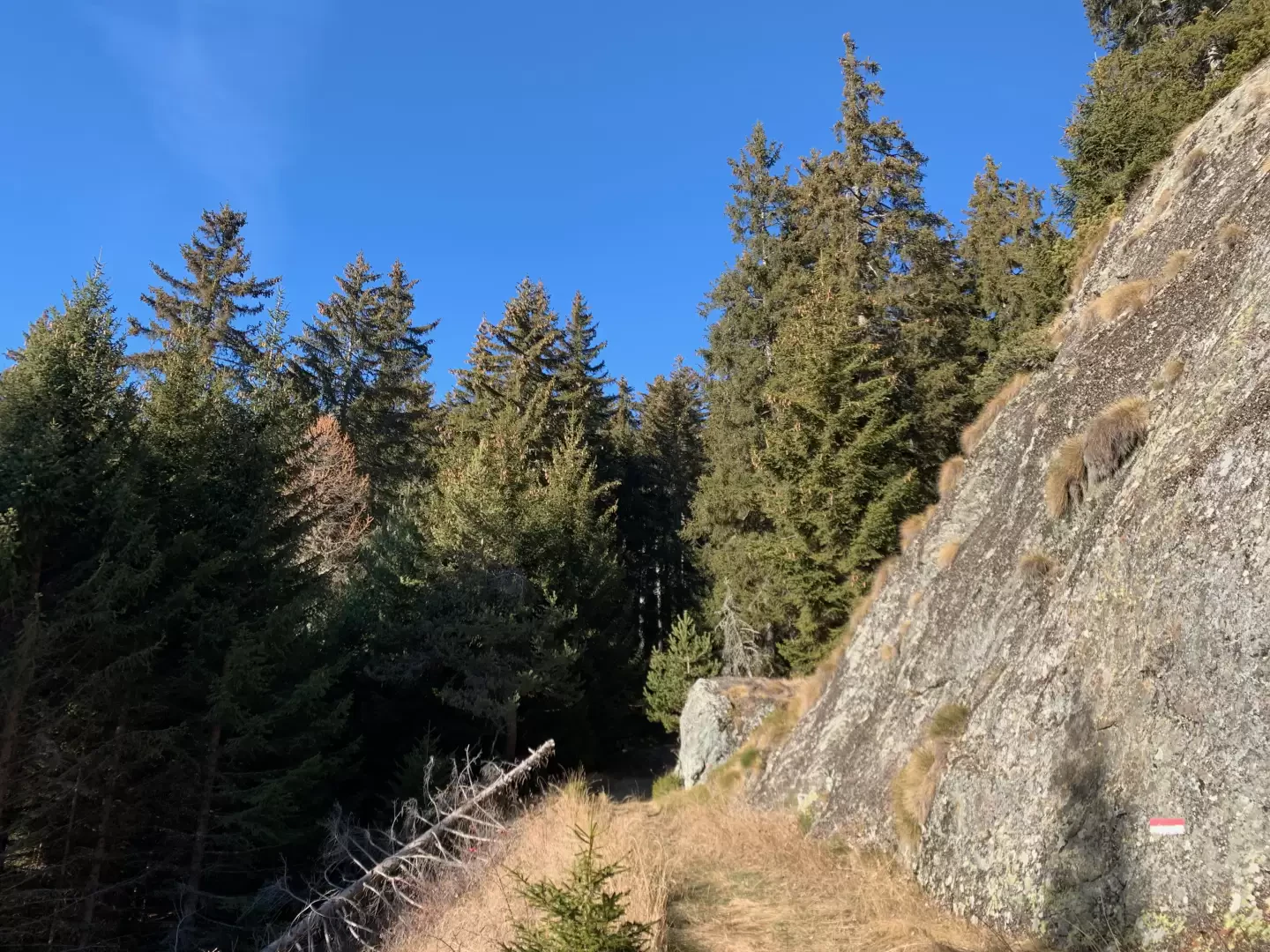
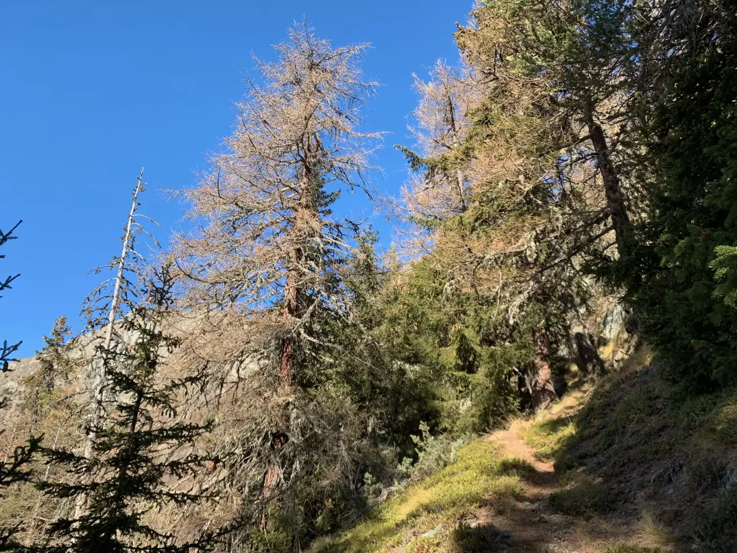
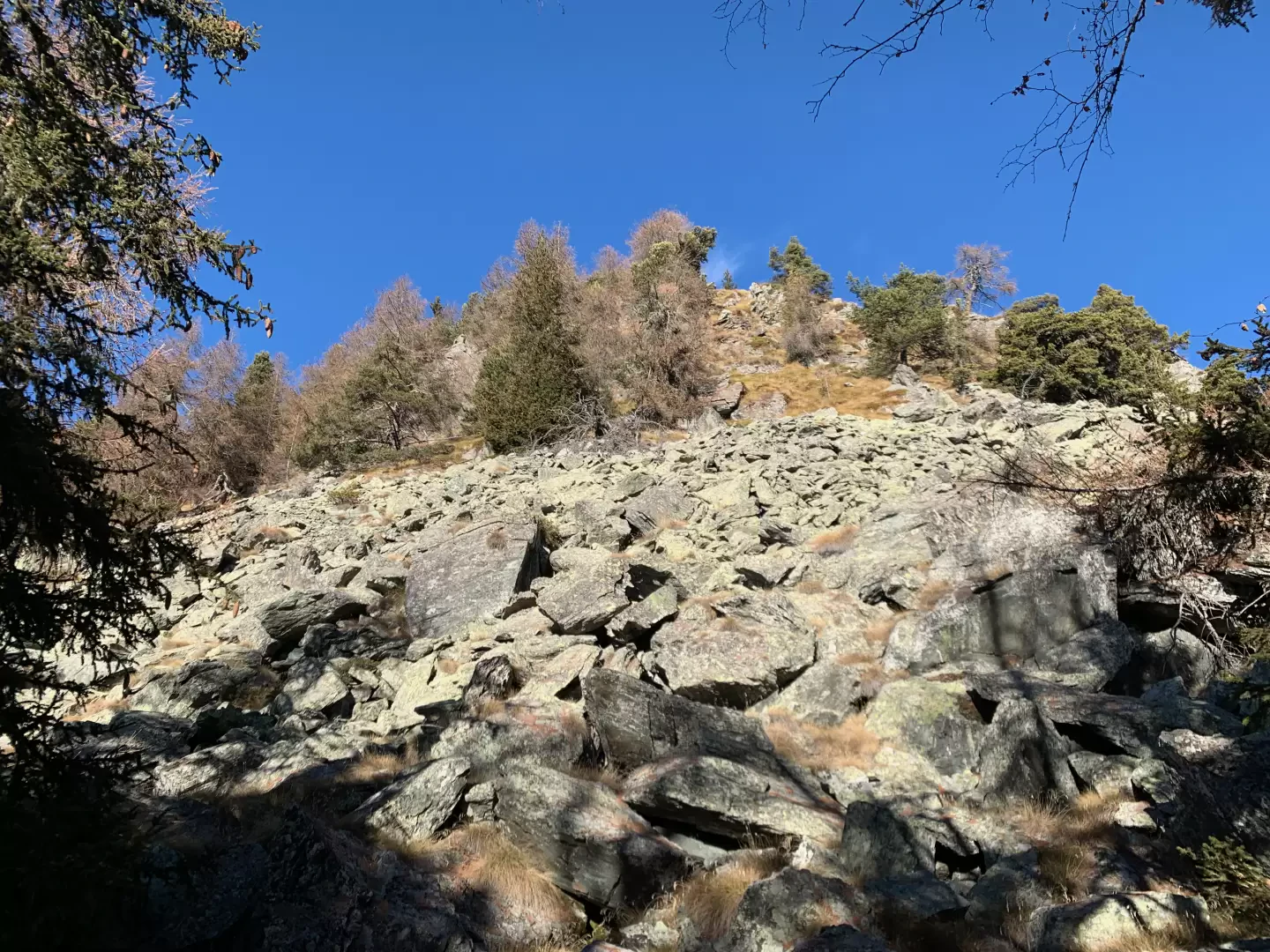
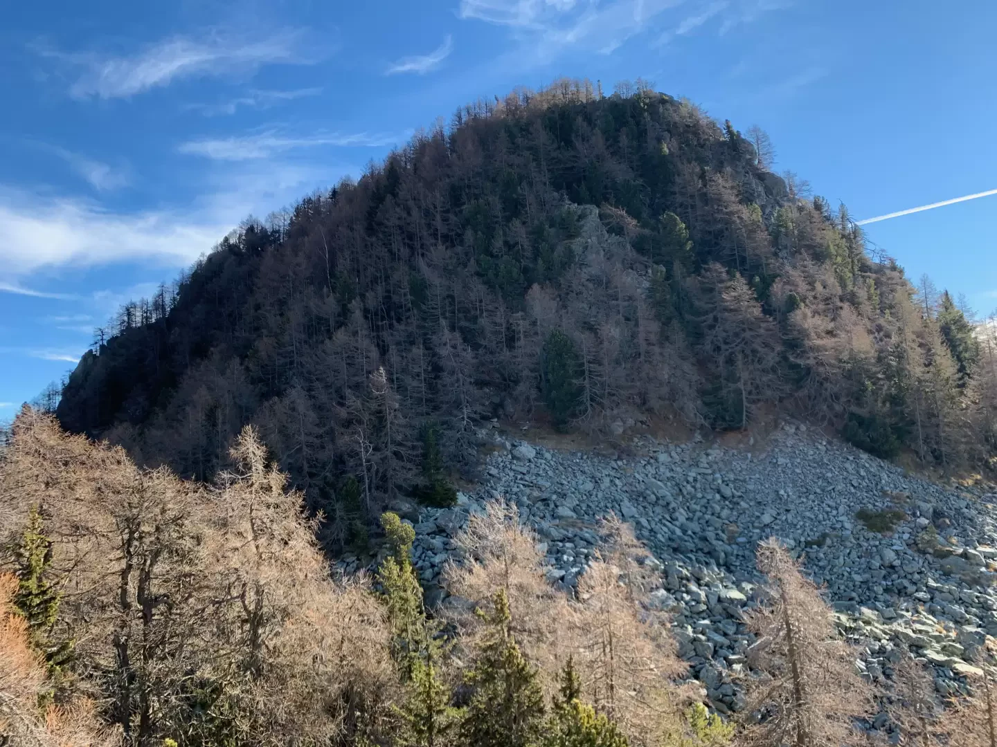
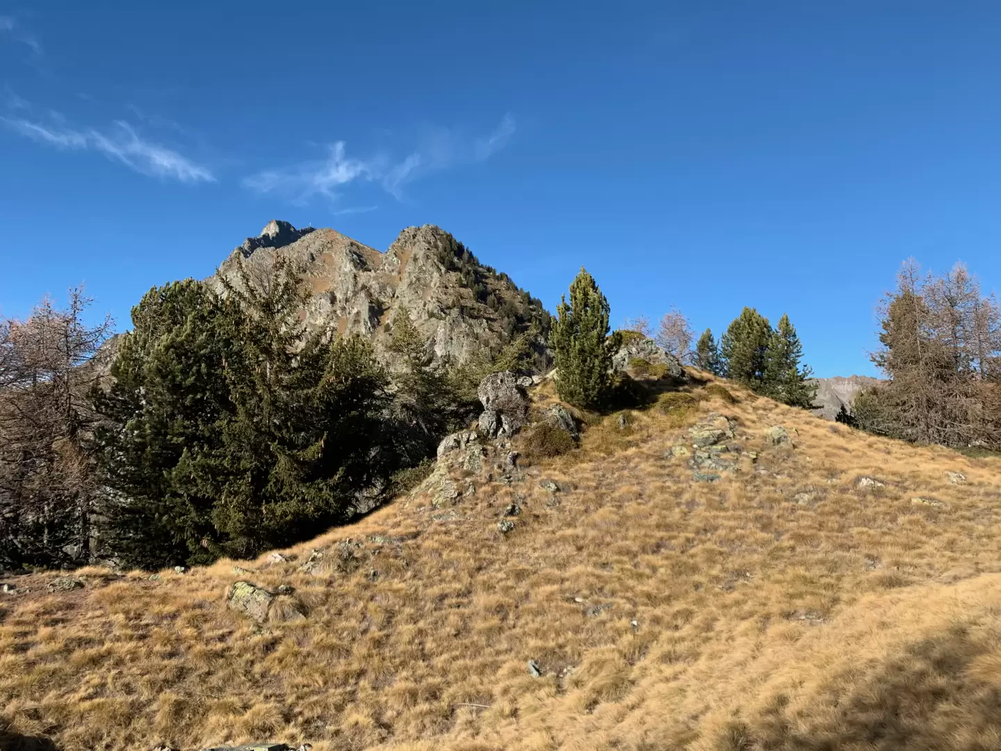
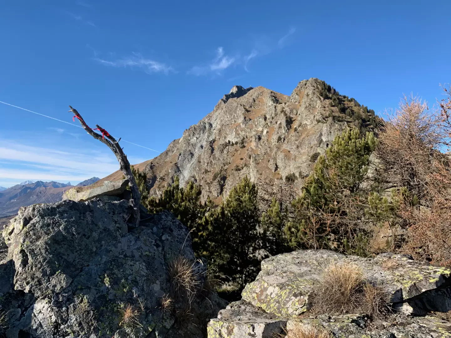
2h50' Turn left and take the track that starts out flat and, after skirting a rocky slab, veers to the right, beginning to climb up the splendid wood at the foot of Cima Botta. Make a few turns and you will reach a shelf where you will come to a fork in the track: keep to the left, and continue on the track, first crossing a clearing and then, at the end of it, continue along a fairly evident path, also thanks to the help of precious cairns. The path proceeds in a northerly direction, halfway up, along the western slope of Cima Botta to an altitude of around 1830m, where, with a couple of tight turns, it changes radically in slope, quickly overcoming a difference in altitude of 60-70m. Once the steep section has been overcome, the path flattens out slightly, taking you to the Col Jetire saddle (1942m).
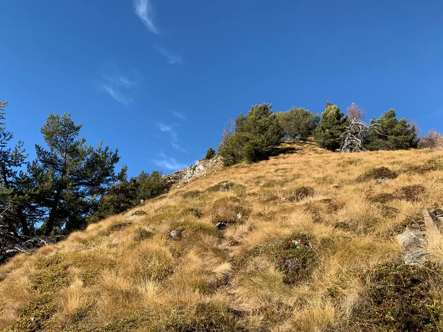
3h30' From the col, turn left following a track, which is not always evident, but can be found with a little attention thanks to the help of cairns. Go over the landslide front of the lower part of Mont Jetire and then join a section of slope covered with olline grass. The path takes several turns and finally reaches the distinctive summit of Mont Jetire (2145m, 4h15'), composed of three small heights.
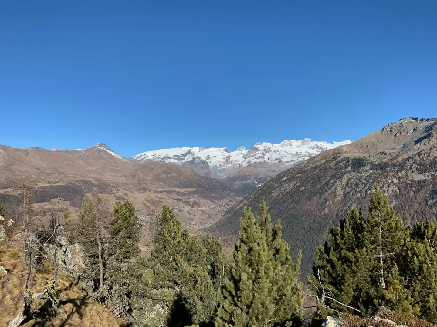
From the summit you can appreciate a splendid and unusual view of the Mont Zerbion opposite, as well as pleasant glimpses of the Val d'Ayas and the middle Valle d'Aosta.
The descent follows the same path as on the way up in about 2h30'.
Photo gallery
Comments (0)
Sign in to leave a comment