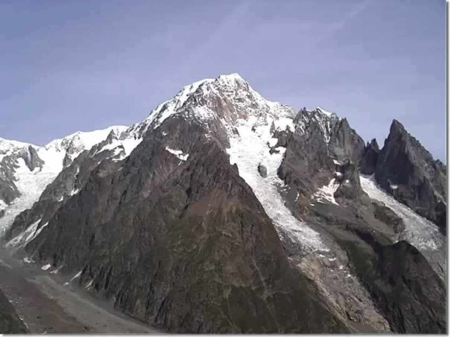
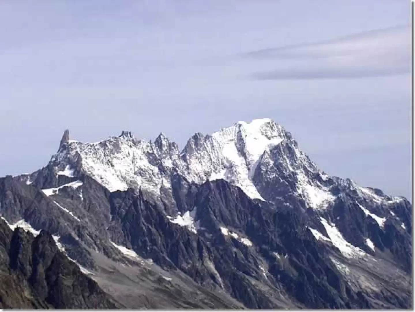
Tour to observe the peaks of the Mont Blanc group overlooking the upper Val Veny.
Description
We proceed along the tarmac road, which, after two hairpin bends, skirts the base of the Miage glacier moraine on the right and reaches the Combal bridge (2020m) (where the remains of an old dam used for military purposes to hinder French invasions are visible).
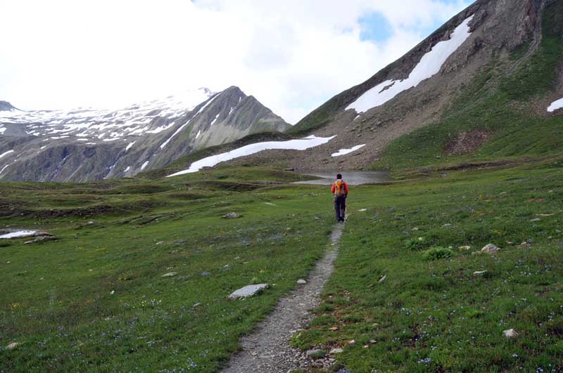
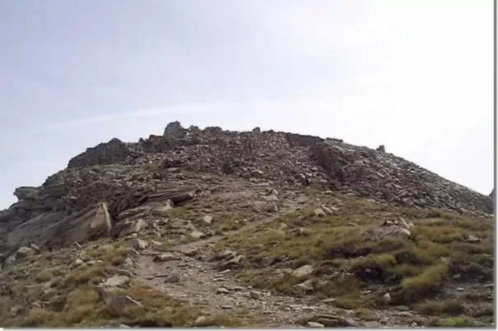
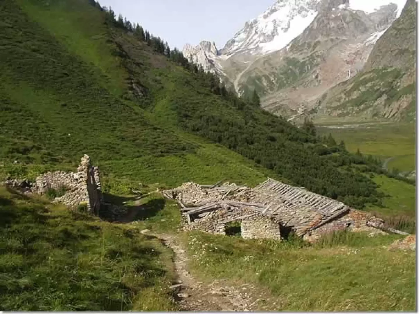
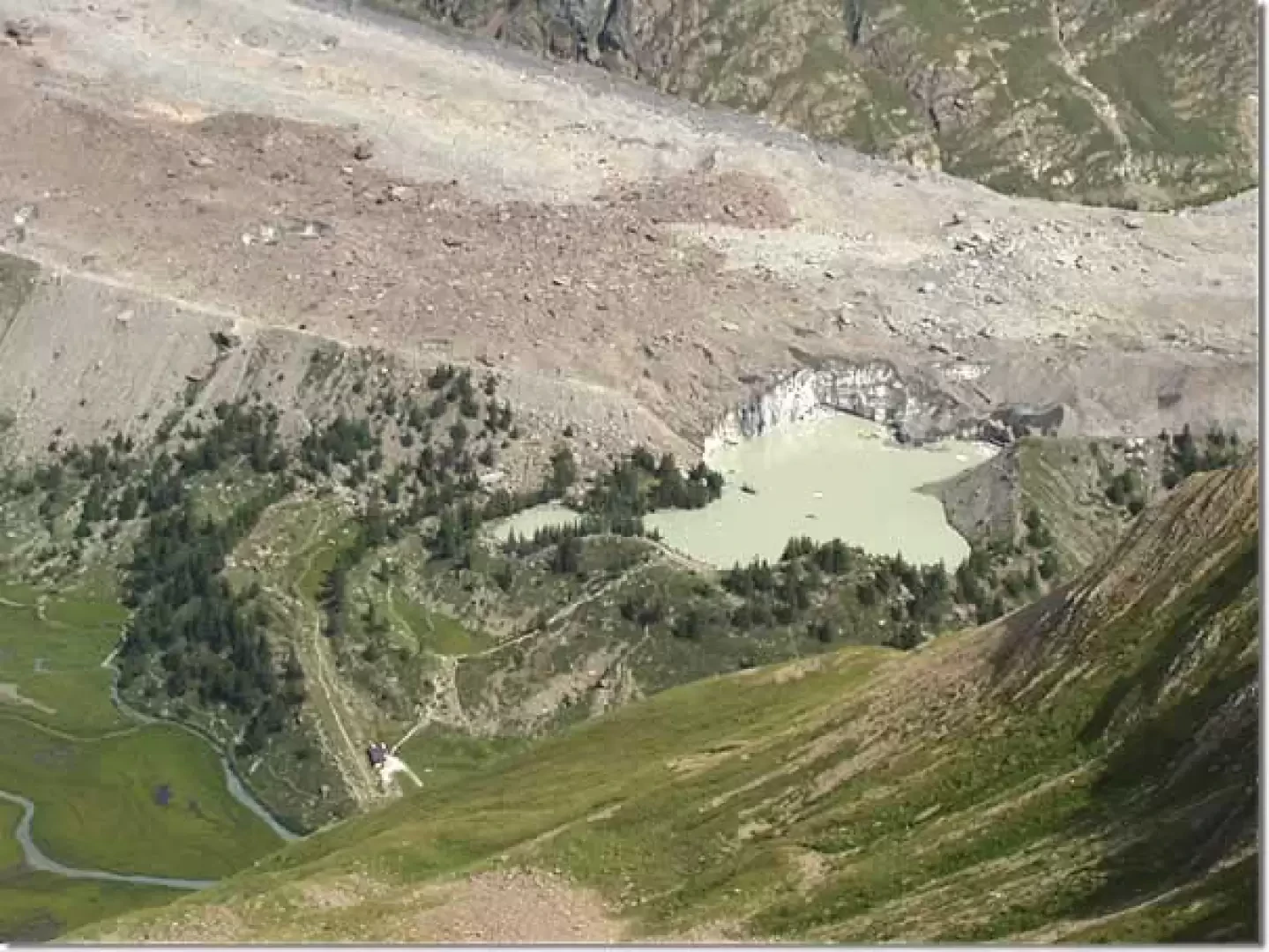
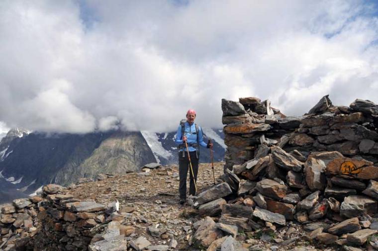
branches off to the left, shortly leading to the Arp Vieille Inferiore (2073m). Continue along the path until you come to a fork where you follow the track to the right (marker (9)). Continue towards the gully of gravel and broken rocks, paying attention to sections where the track of the path is partially collapsed. At times it is worth stopping and looking northwards at the magnificent panorama of the Mont Blanc chain and the Miage lake and glacier. The ascent in the final part is very steep and leads to the rounded summit of Mont Fortin (2,758m) where the remains of a military shelter can be found. From the summit, aided by an observation post installed there, you can spot and observe many peaks of the Mont Blanc group (to the north), Les Grandes Jorasses (to the north-northeast) and, in good visibility conditions, the Grand Combin (to the north-east).
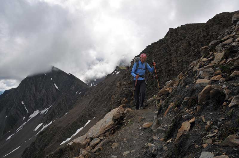
Fatto il giro ad anello, circa 20 km, scendendo verso il col de Chavannes ed il rifugio Elisabetta. Traccia sempre ben evidente e solo un po' esposta nel breve traverso sotto la vetta
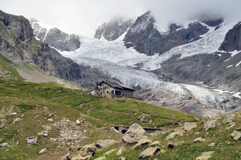
Peccato per le nuvole che hanno nascosto gli angoli piรน remoti e selvaggi del monte Bianco!
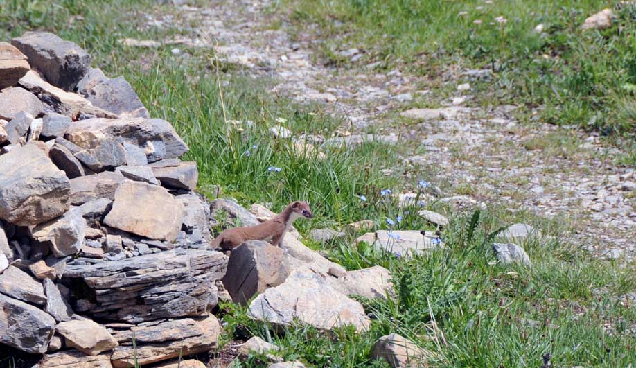
Avvistamenti faunistici: Mustela erminea
Comments (0)
Sign in to leave a comment