Hérin Mine, from Crestaz


Edited by:
Massimo Martini
Updated at: 02/11/2025
Access
Leave the motorway at the Verrès exit and continue on the in the direction of Aosta for 1.8 kilometres, then turn left at the junction for Champdepraz. Continue on the for 2.7 kilometres until you reach the main town of Champdepraz, after which you continue on the municipal road to Veulla for a further 2.4 kilometres before leaving your car on a clearing to the right of the road.
- How to get there with GMAPS
- How to get there with Apple Maps
Introduction
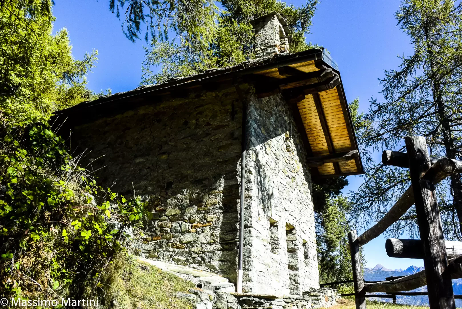
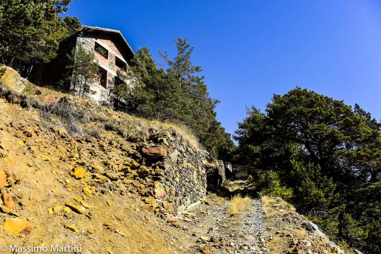
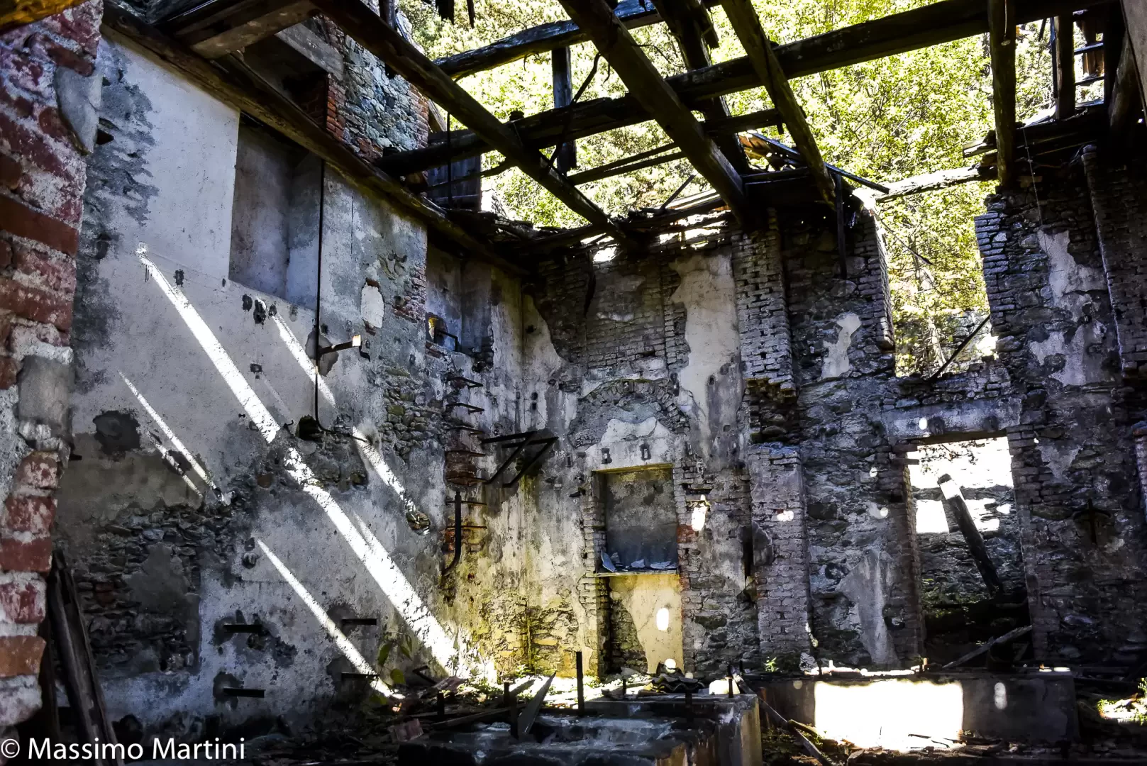
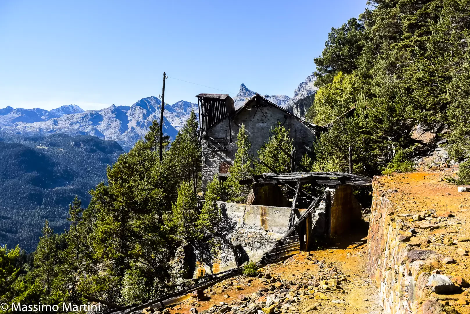
The Hérin Mine represents an interesting testimony of industrial archaeology. Exploitation of the mining site began in the early 1700s and underwent various interruptions and resumed until the middle of the 20th century when, in 1944, a group of partisans set fire to an intermediate station of the cableway effectively contributing to the decline of the activity. The mine produced copper and pyrite and was an important component of local local industrial development.
Today, it is possible to visit the external parts of the structure as the building is not secured, however one can can be appreciated and what remains of the ancient cableway.
Description
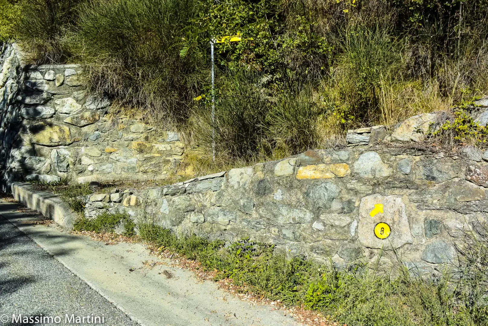
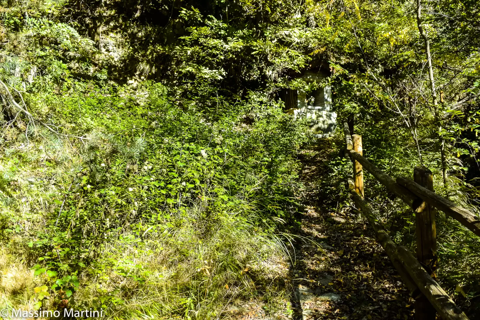
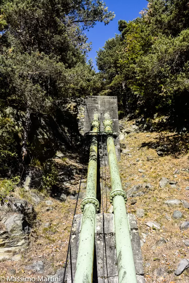
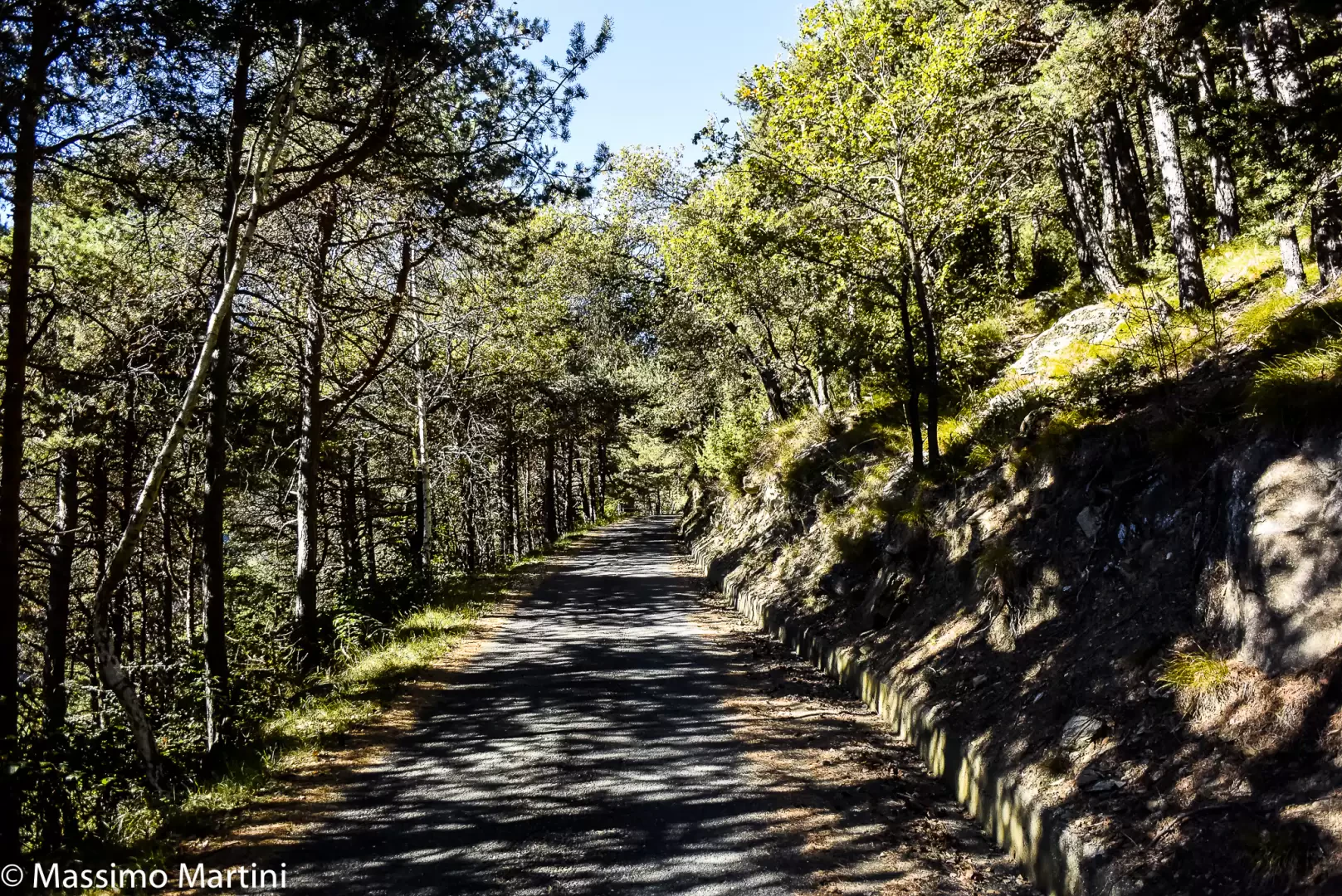
0h00' Leaving the car, follow the regional road downhill for a short time before meeting the start of the path marked by a marker and a signpost. Take footpath , which begins to climb up the wooded slope in a long ascending diagonal until it meets a votive shrine. Continue on the path, often overgrown with vegetation, which climbs up the sunny slope with a constant gradient. A few stretches of sparser woodland provide the first glimpses of the central valley below. Go past the pipes of the CVA power station in Champdepraz and continue to the end of the long diagonal before meeting a couple of hairpin bends that lead onto the municipal road to Crestaz (957m).
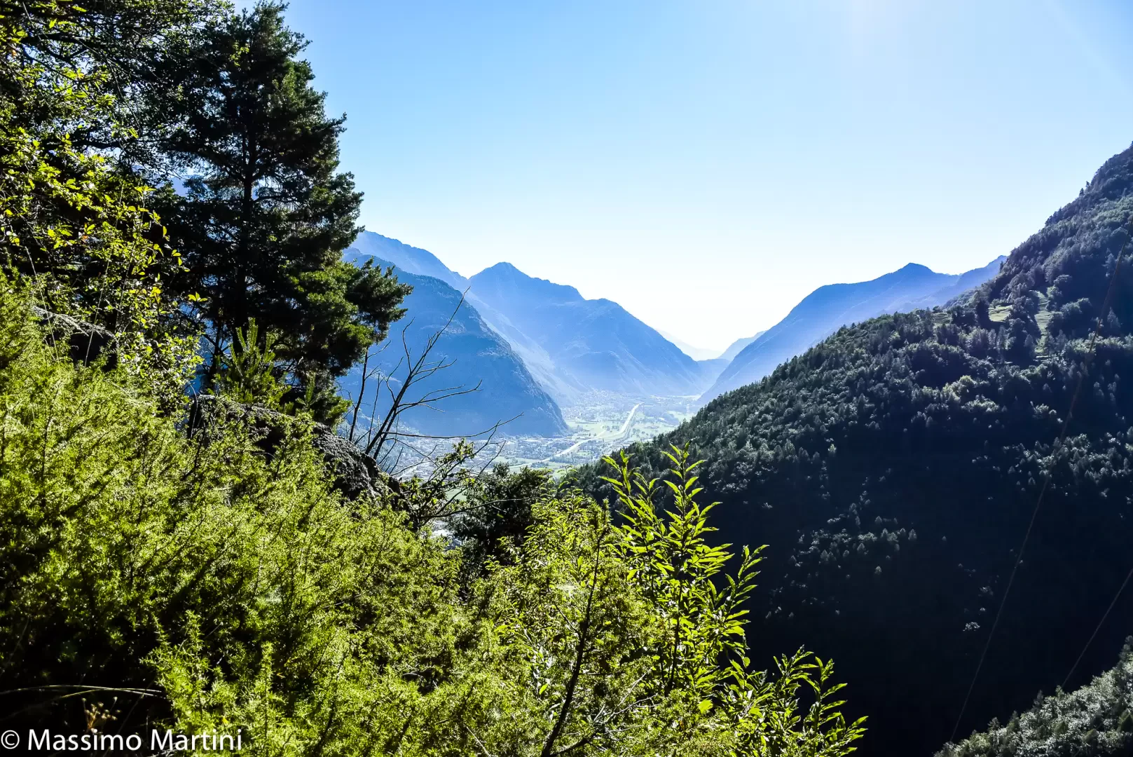
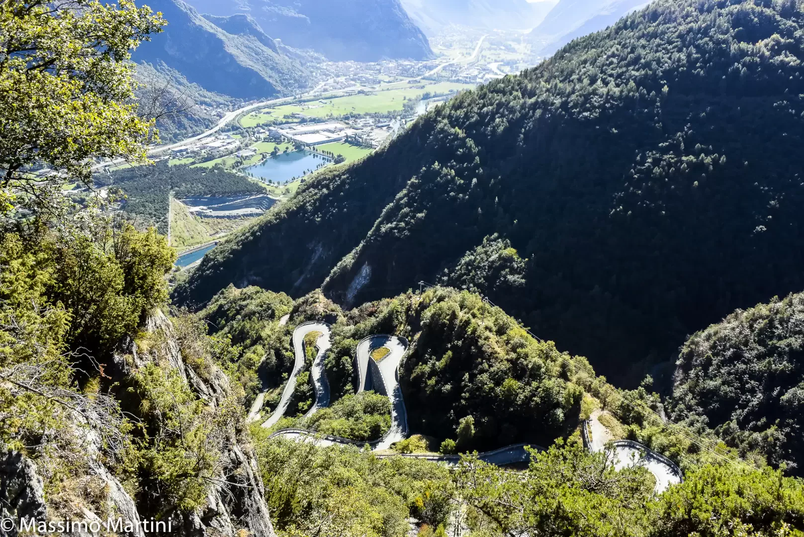
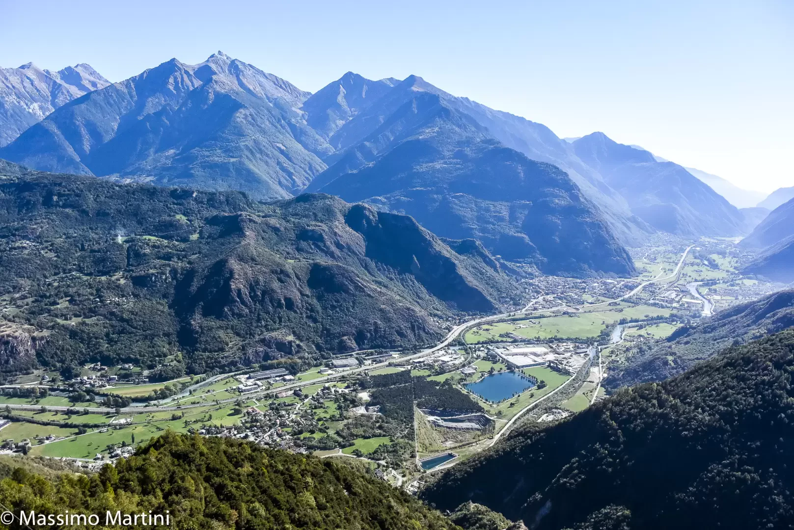
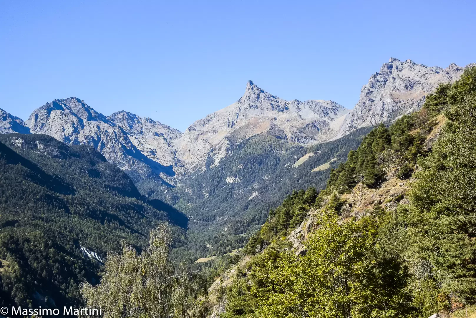
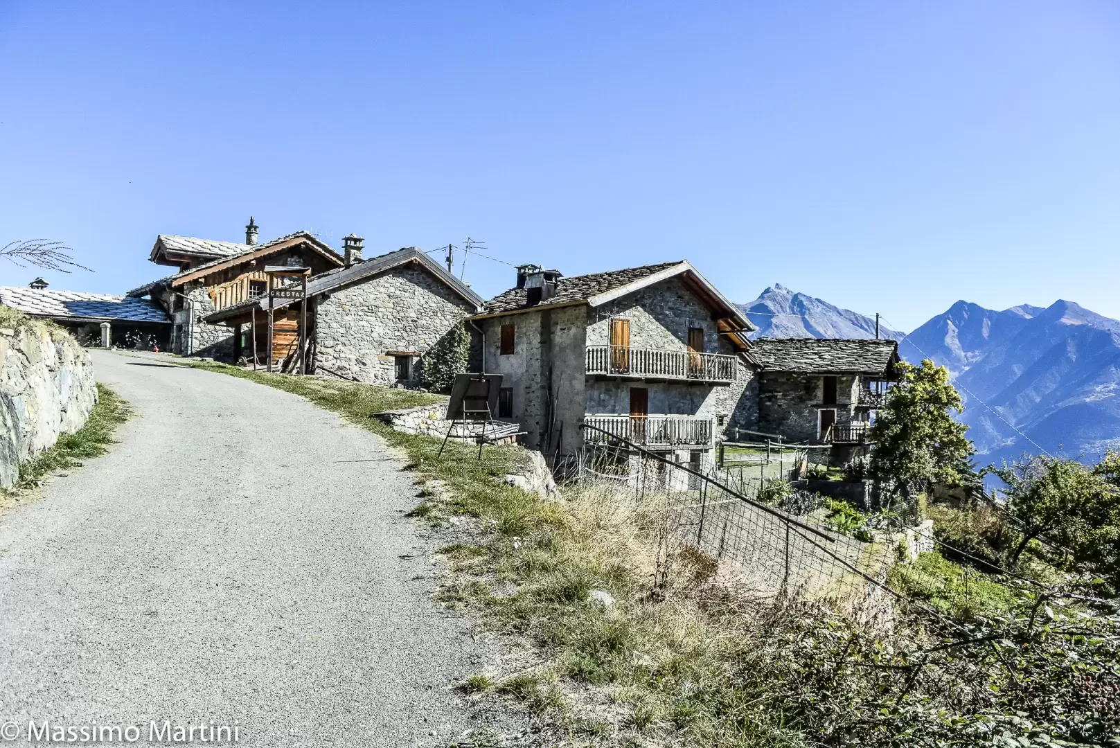
0h25' Cross the road and take the path that cuts a hairpin bend in the road and then rejoins it and begins to climb it following a long series of short hairpin bends. At the end of the succession of hairpin bends, you come out of the forest at the height of the water intake of the hydroelectric power station (1145m): to appreciate the splendid views of the central valley and the unmistakable silhouette of Mont Avic. Continue along the unbroken road to the quaint village of Crestaz (1297m, 💧).
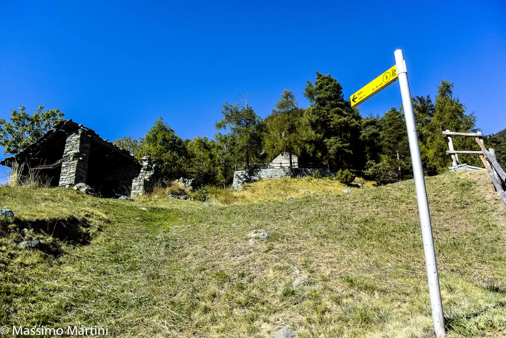
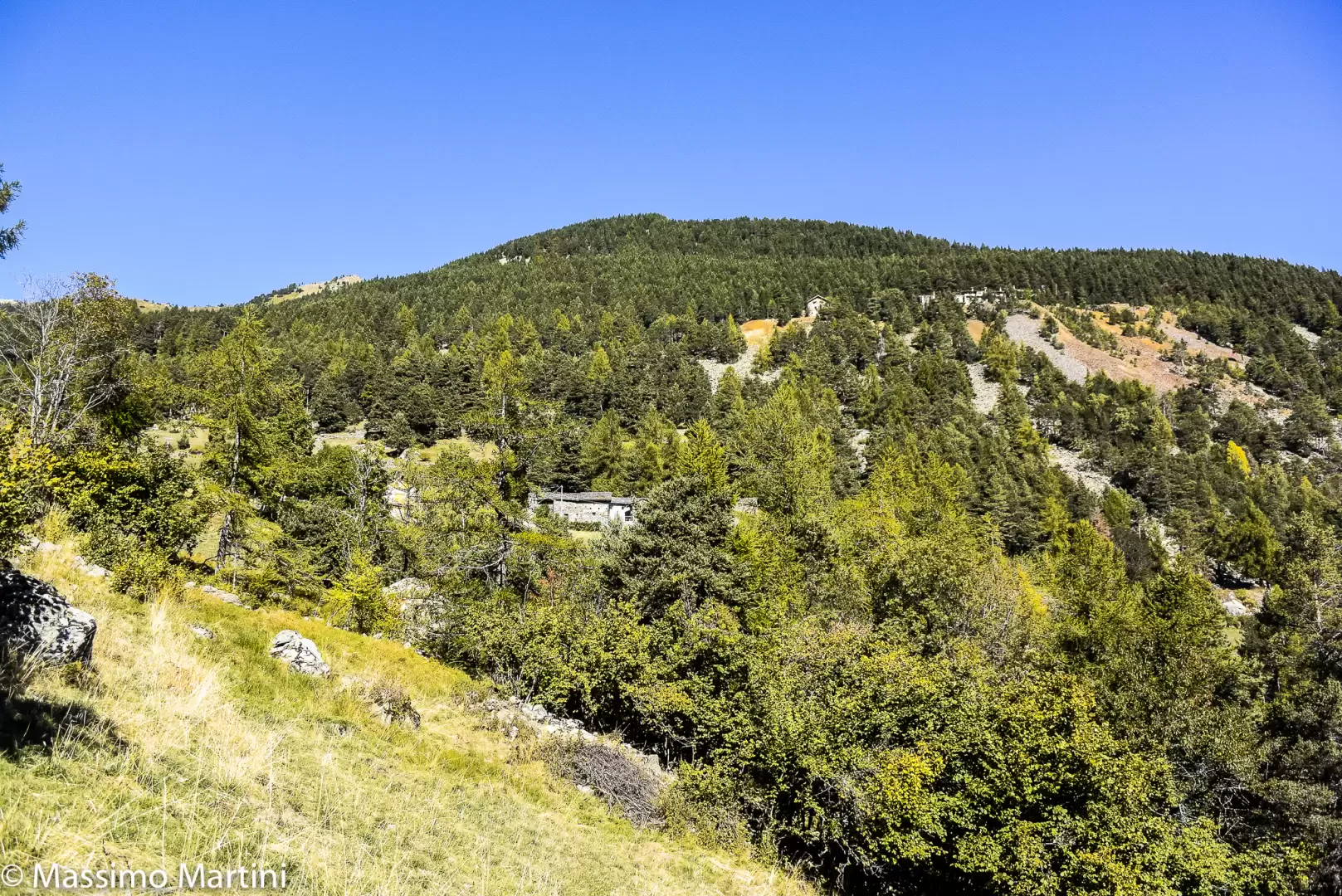
1h20' Turn left onto the path that soon reaches a group of ruins overlooking the pretty Crestaz chapel dedicated to the Visitation of the Blessed Virgin Mary. The trail bends to the right, crossing a short wooded strip before joining the pastures that anticipate Hérin: the destination can be glimpsed, the mine appears in the middle of the forest descending from Mont Lyan. Cross the little communal road to continue through the pastures until you reach a marker that anticipates the village of Hérin (1463m).
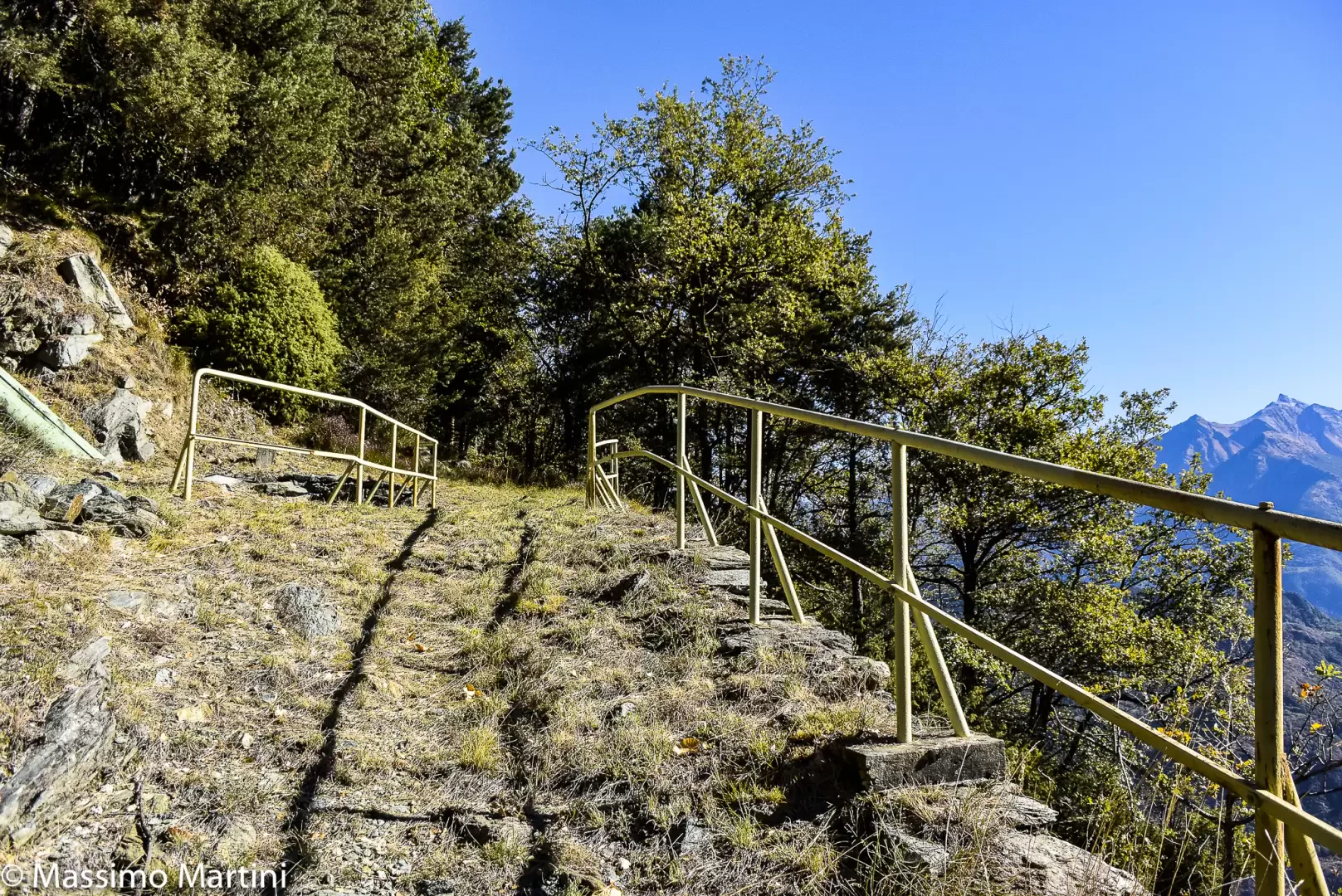
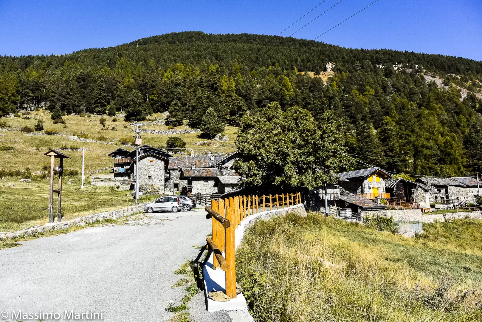
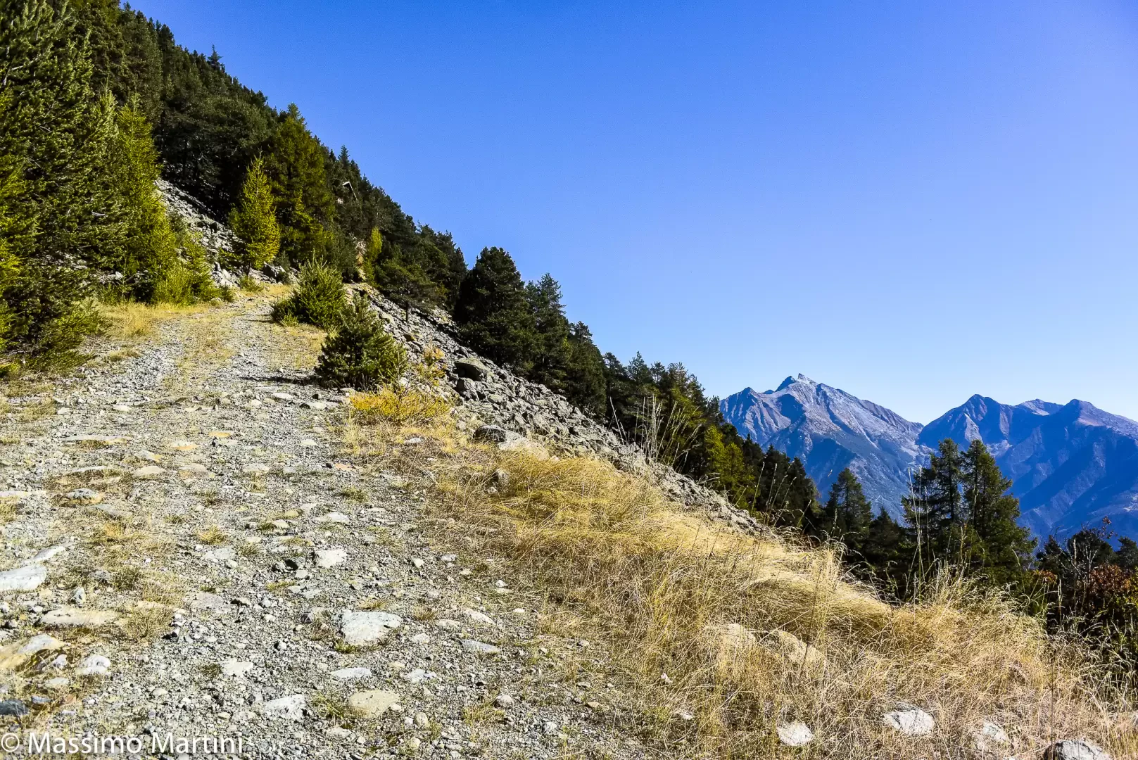
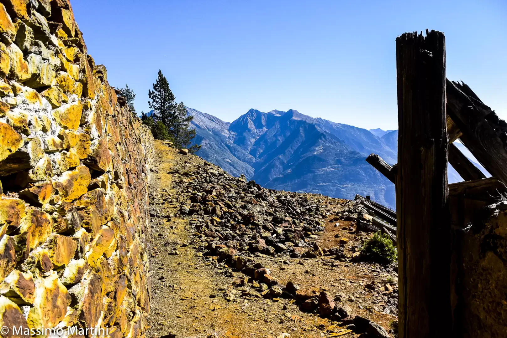
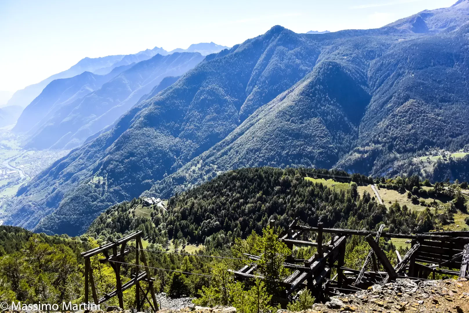
1h45' If you do not want to stop for a short visit to the village of Hérin, fountain present 💧, continue following the marker on a small road that is first asphalted then dirt. Turn right and go back into the forest, now entirely of conifers; you will come to the fork between the path leading to Mont Barbeston, which should be disregarded, and the little road that goes straight on in the direction of the mine. The junction with the path that after a bend to the right, with a moderate ascent reaches the Hérin mine site (1596m) 2h15' .
The return is along the same route as on the outward journey (1h00' .
Collections
Riferimenti Bibliografici
- Champdepraz, La sua Valle e la Sua Gente - Ciardullo G.,Musumeci editore, 1994 -
- LA Miniera di Herin, uno spaccato storico e geologico nel paesaggio valdostano - Fantone Irene e Grieco Giovanni -
- Minerali, miniere e cave del Parco Naturale Mont Avic - Castello Paolo e Paganone Marco -
Photo gallery
Comments (0)
Sign in to leave a comment