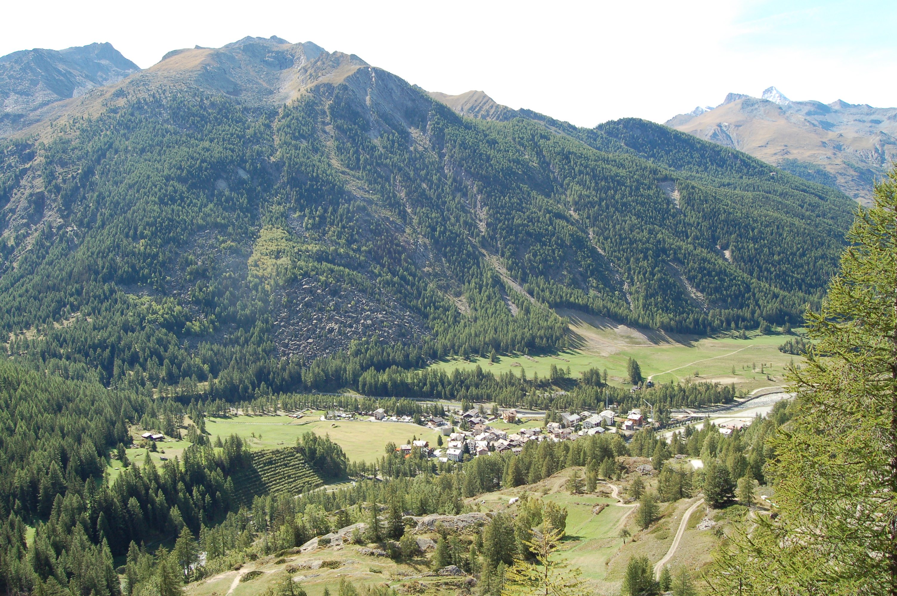
Leaving the motorway at the Aosta Ovest exit, turn right and take the for the Cogne valley. After passing through the village of Aymavilles, the road enters the valley, passing the villages of Vieyes, Epinel and Crétaz until you reach a roundabout, 20 km after the motorway exit: take the second exit and follow the signs for Lillaz. Continue on the communal road for about one kilometre until you come to another roundabout: go straight on for another 1.8 kilometres until you come to the large free car park 🅿️ in Lillaz.
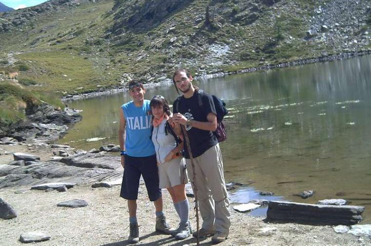
Lake Loie is immersed in the Gran Paradiso National Park. The itinerary described here takes us through the Urtier and Bardoney valleys to discover the local fauna and interesting and evocative panoramic views.
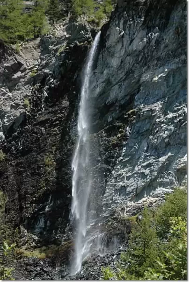
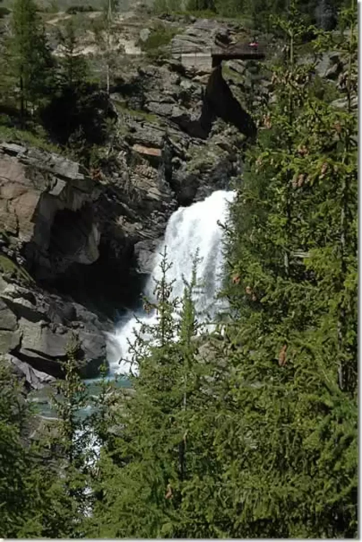
The itinerary described here can also be followed in the opposite direction: the decision to follow it clockwise is dictated by the fact that the climb is gentler and the sun is better. On the way back, it is possible to make a short detour to the Lillaz waterfalls: at the penultimate fork, follow the signs for the waterfalls, path (13L), which can be reached in a few minutes..
Description
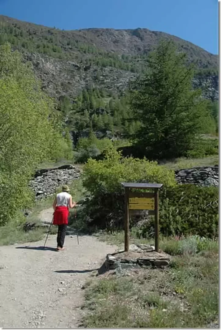
Leaving the car behind, proceed towards a small shelter where the main paths in the area are indicated: follow itinerary
which leads to the Sogno di Berdzé refuge at Peradzà. Take a small road that runs alongside the Urtier torrent, and after a few minutes you will come across a no-trespassing sign: the road forks, take the small road to the left and, shortly afterwards, you will come to the post indicating the start of the path. You begin to climb the path in a beautiful larch forest, leaving the last houses of the village behind. In a few minutes, you take a series of twists and turns until you come to the crossroads for the Lillaz waterfalls (1701m, 0h10',path
).
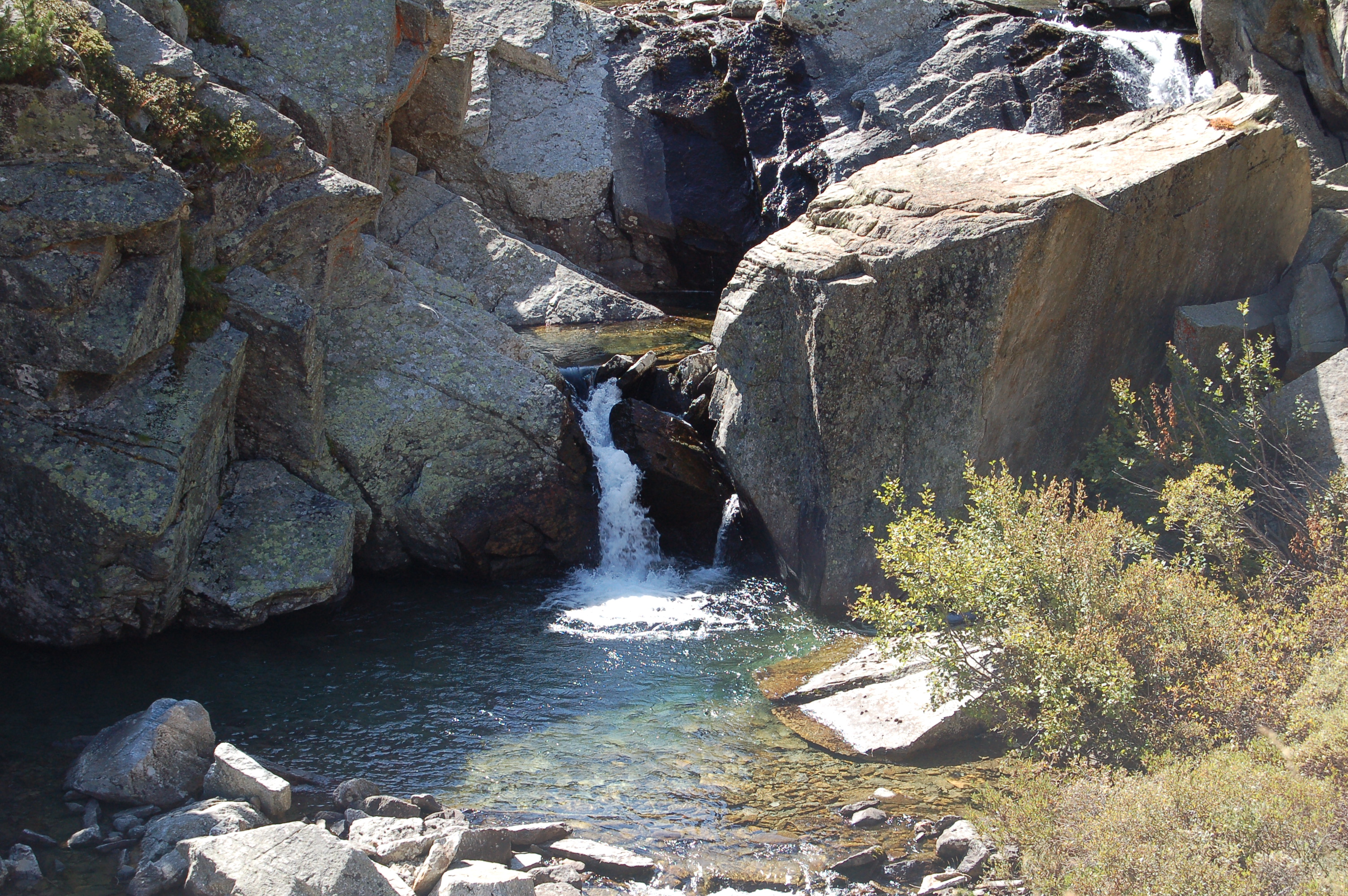
You continue straight ahead and soon reach a small road: turn left and then, after a few metres, right, following the signs for the climbing hall. Continue along an open section, meet the fork for the climbing hall (to the right) and continue towards a rocky buttress. The path tends to the right, crosses the penstocks of the Lillaz CVA power station and reaches a votive shrine located above the waterfalls (1726m, 0h20').
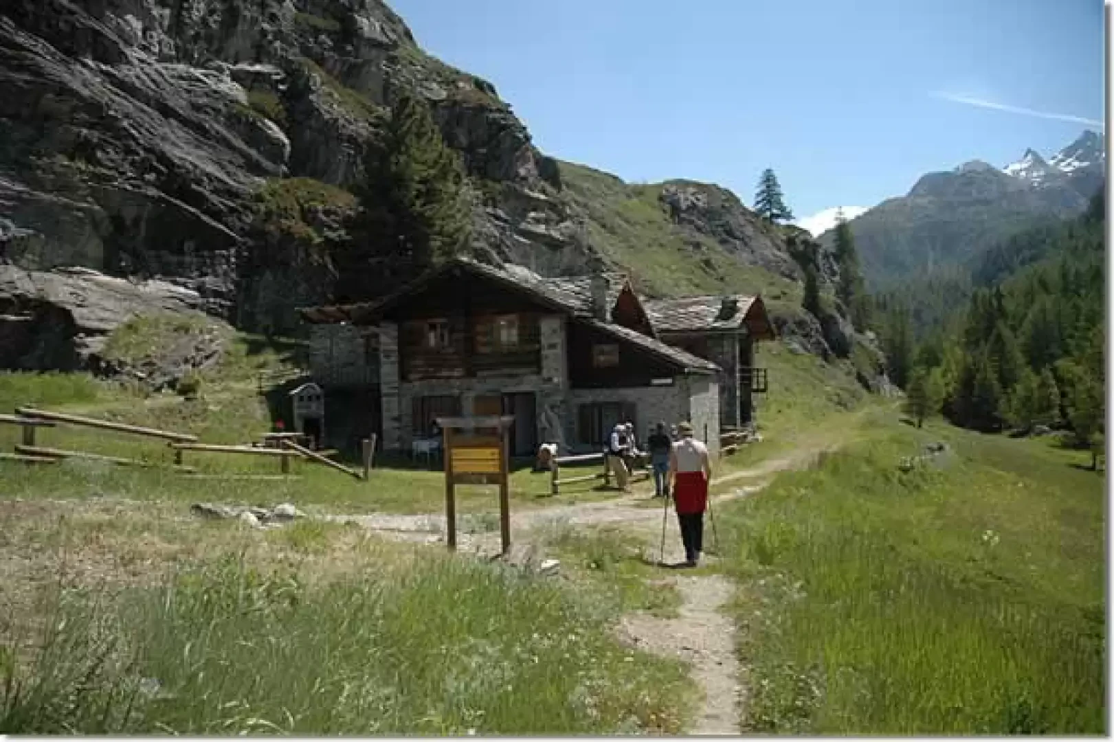
There, the trail descends slightly to below some pastures, where it begins to climb again, crossing them to reach Goilles Desot (1,834m, 0h35').
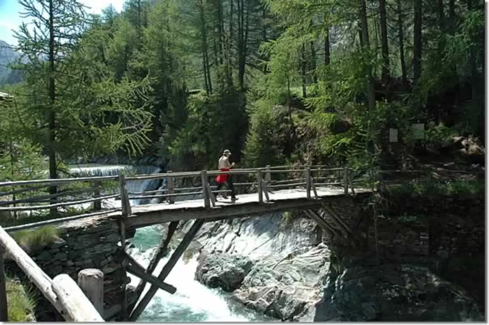
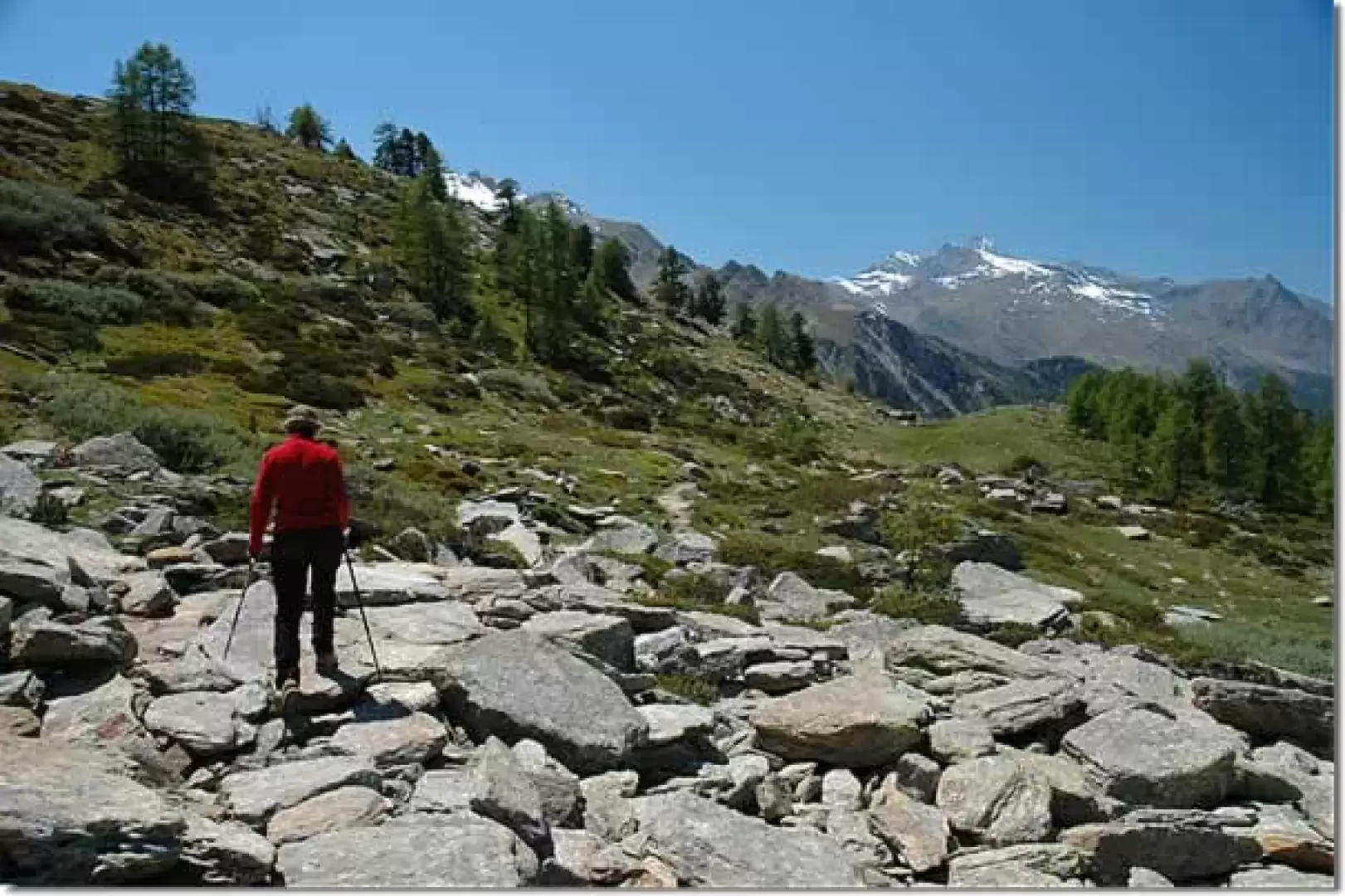
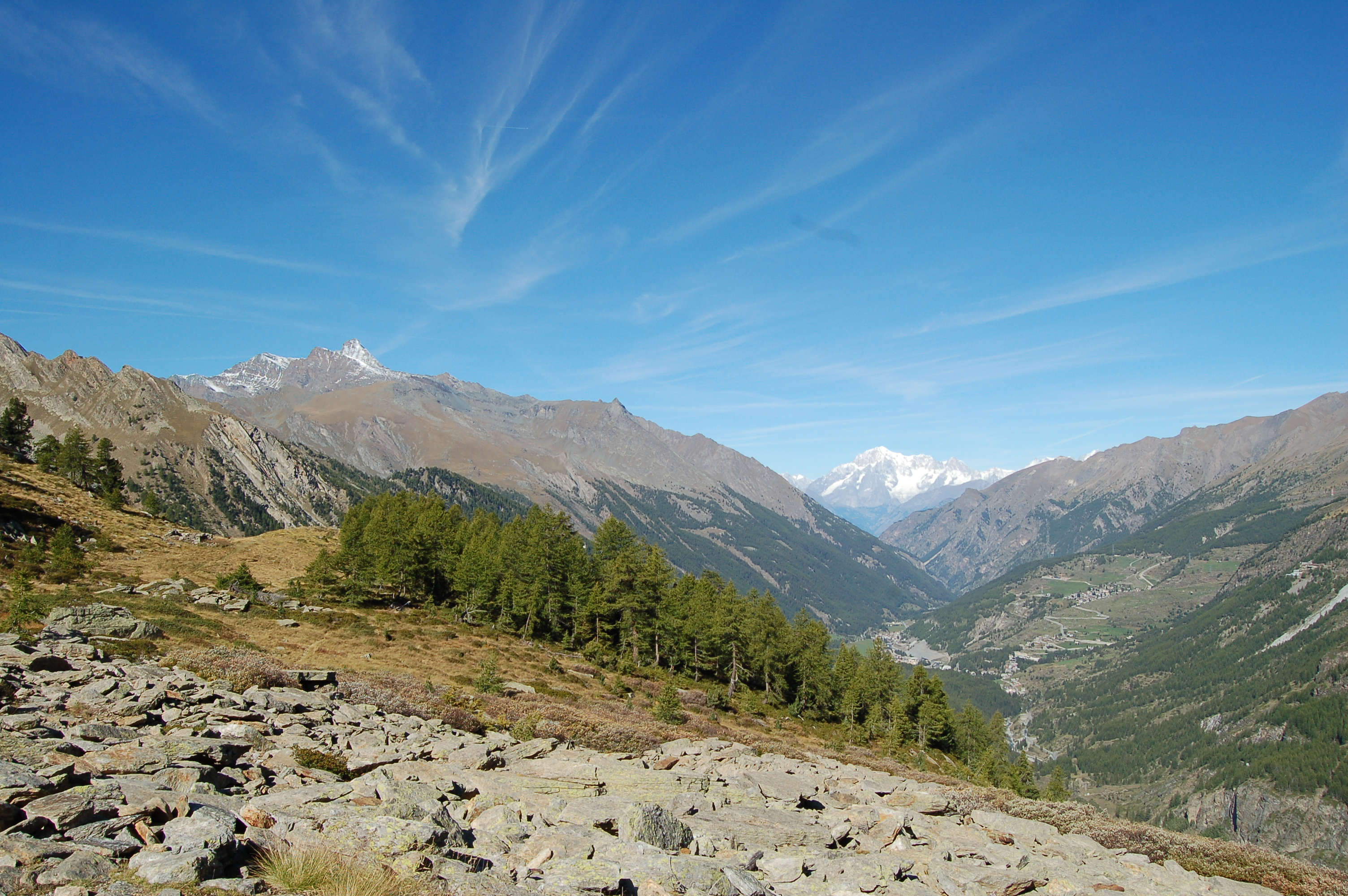
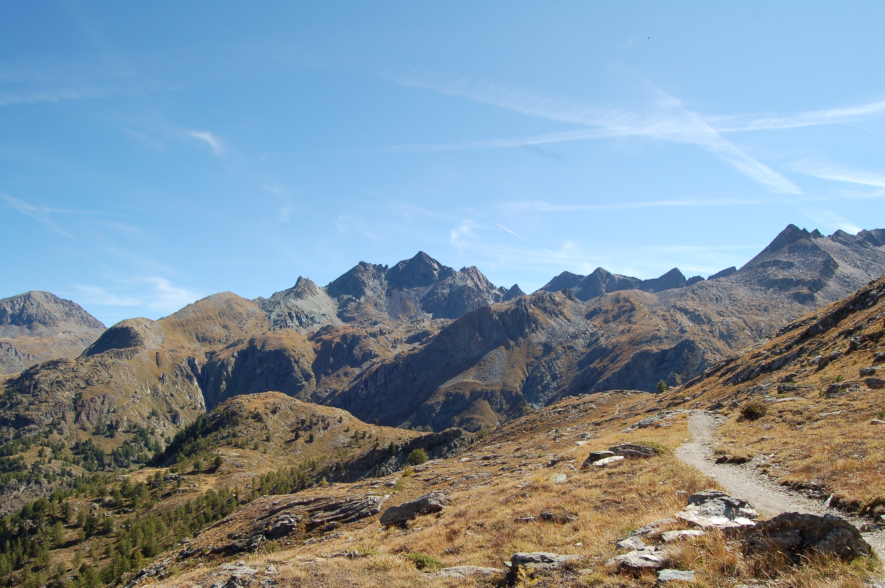
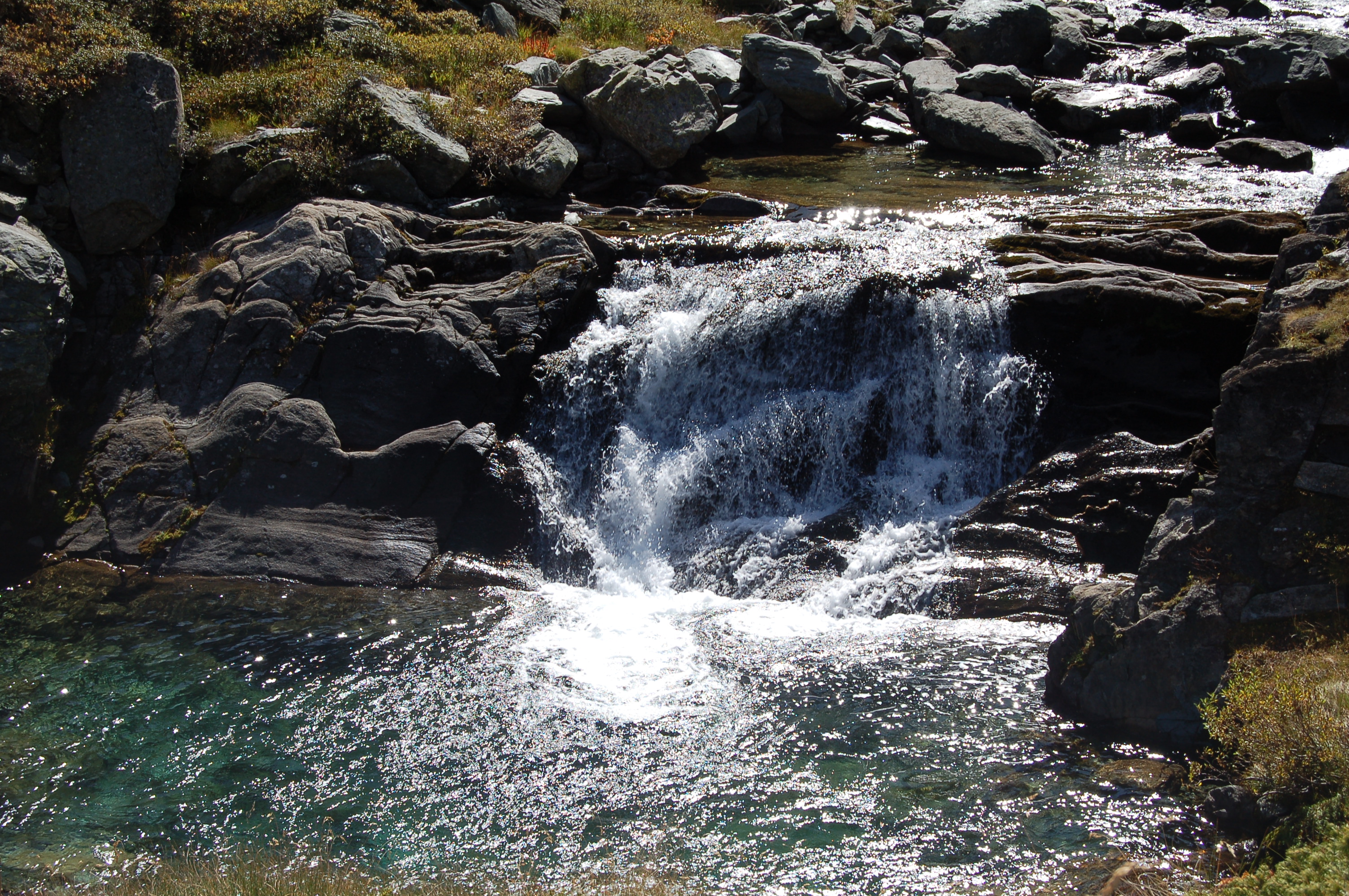
After passing the hamlet, take a farm track that soon leads to a bridge crossing the Urthier stream. When you reach its orographic left-hand side, start to climb up through the forest. You will come to a small clearing where a farm track on the left-hand side is overlooked, and you will continue into the forest again. The ascent takes place on a comfortable mule track that climbs the ridge below the lake. After ascending a wide gully, the path flattens out slightly and then begins to climb again just before a couple of turns, supported by dry stone walls edged with wooden railings. Swiss stone pine (Pinus cembra) now appears in the forest and, after crossing a small stream on a wooden footbridge, you proceed towards a gorge formed by the Urtier stream. Go round the gorge and soon reach the fork for the Bardoney gorge (2129m, 1h30').
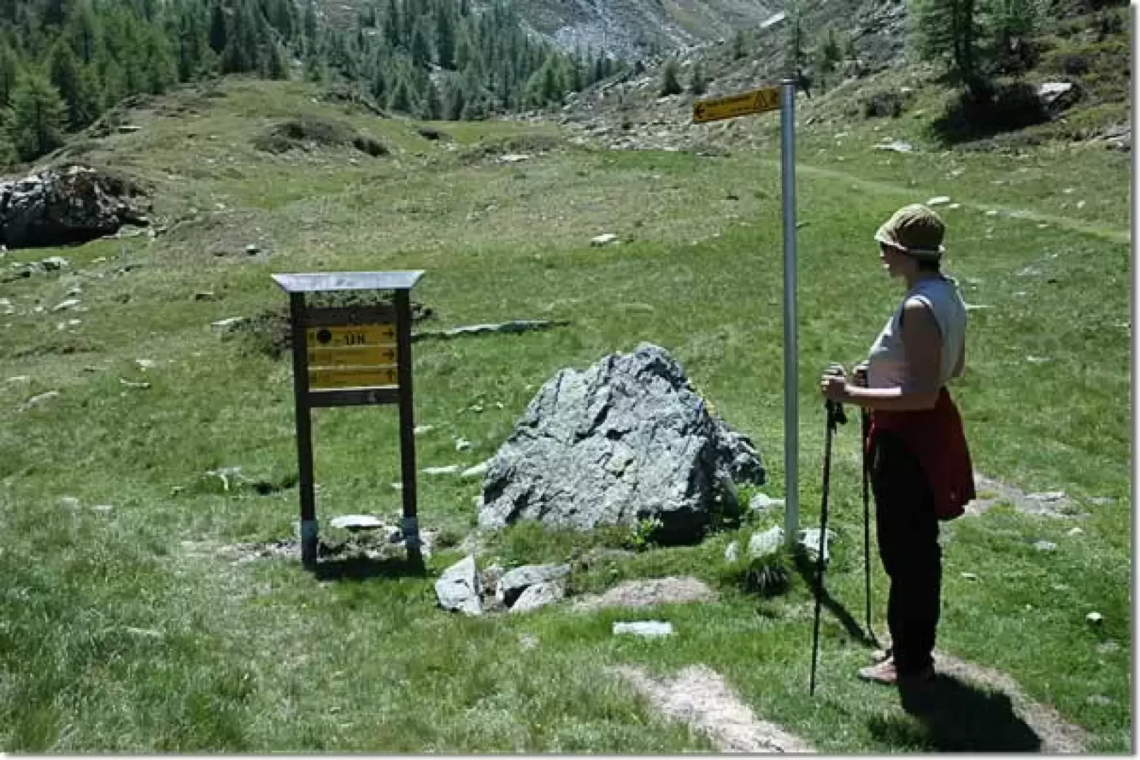
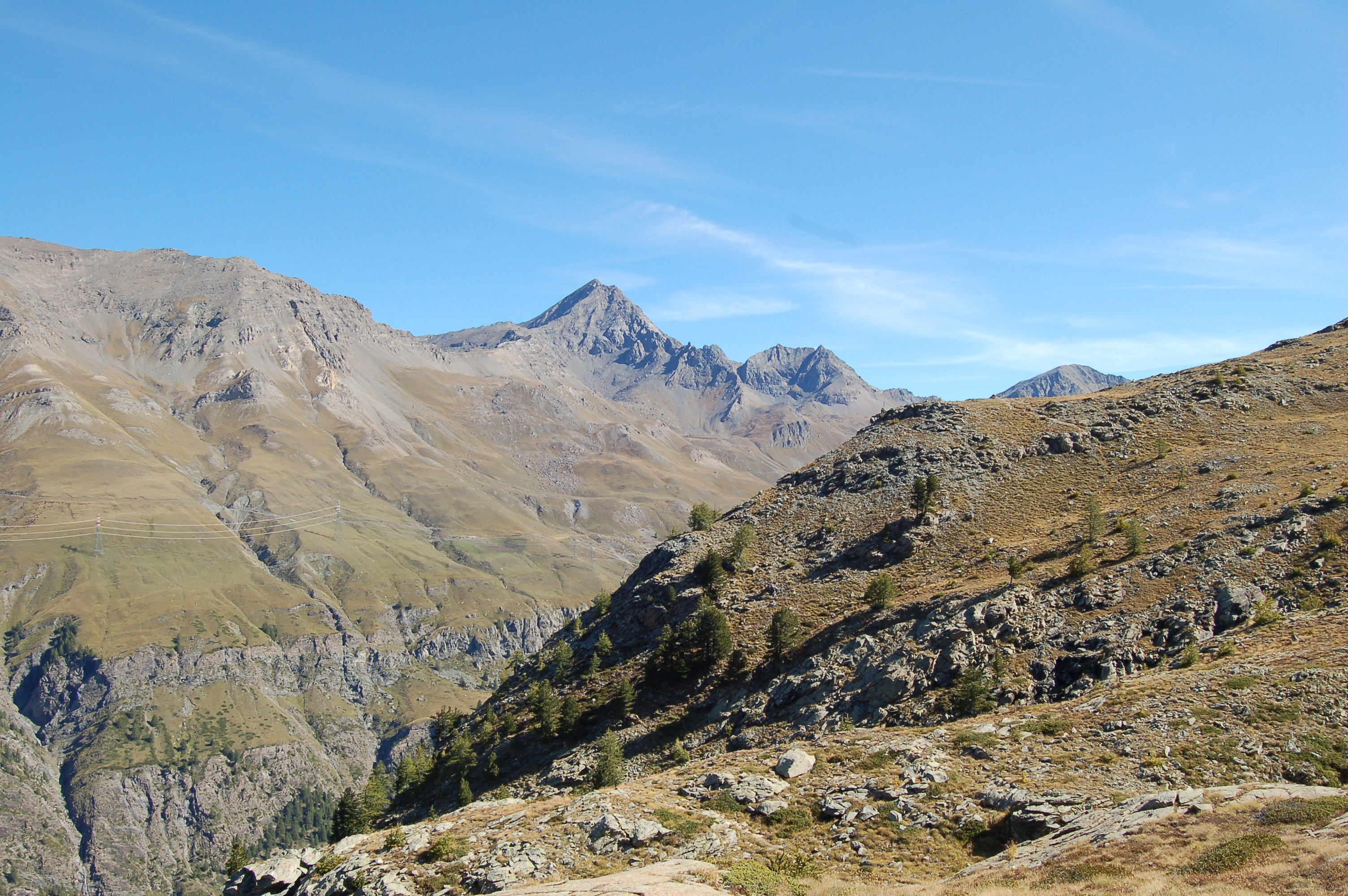
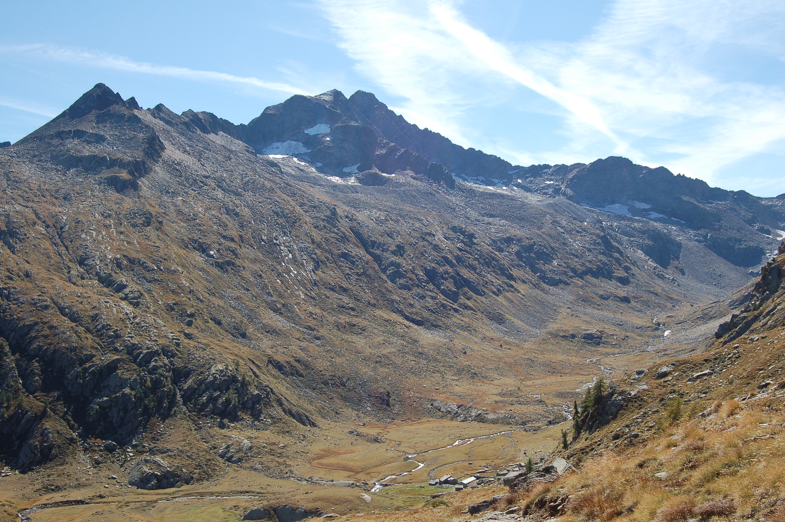
Follow the signs for Col Bardoney and overlook the route
for the Sogno di Berdzé hut, which branches off to the left. After an initial flat section, the path curves slightly to the right and begins to climb a small drop where the Bardoney stream forms a small waterfall. Continue along the lovely paved mule track until you reach the pastures below the Bardoney mountain pasture; cross a bucolic landscape until you reach another fork in the path (2215m, 1h45').
You turn right and follow itinerary
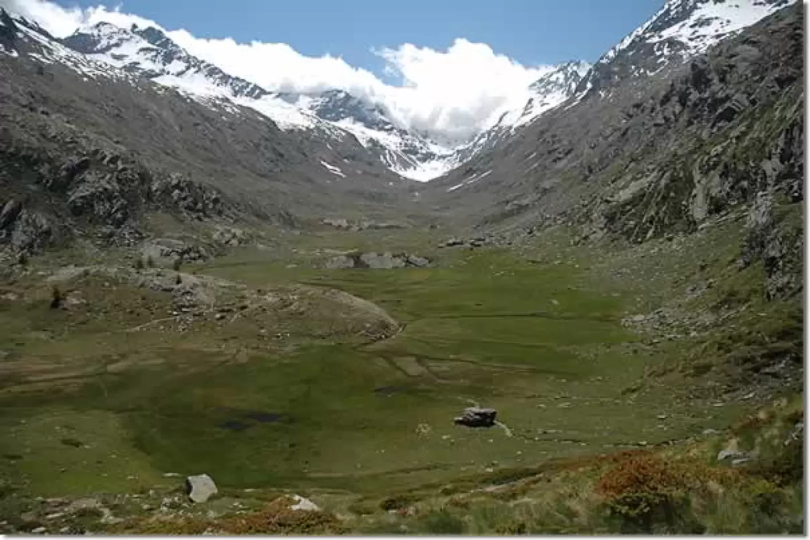
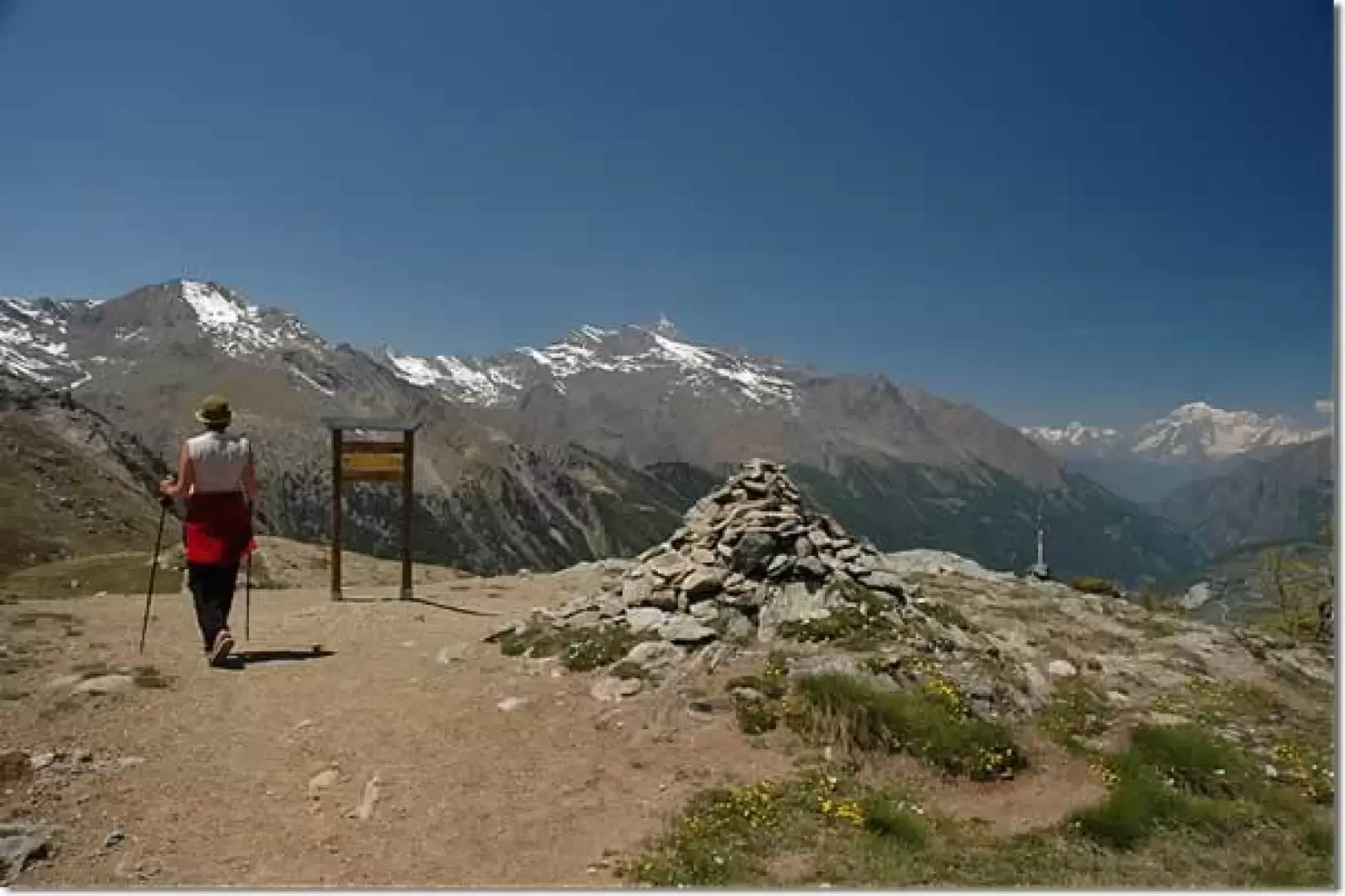
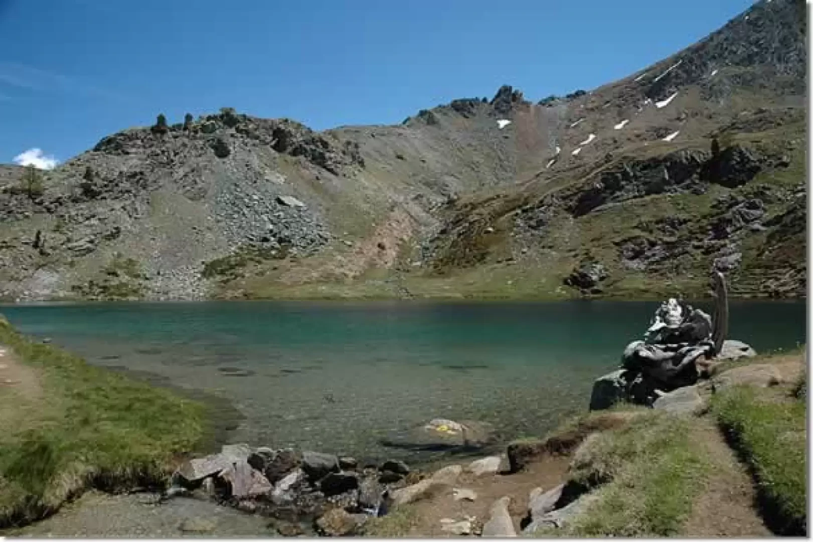
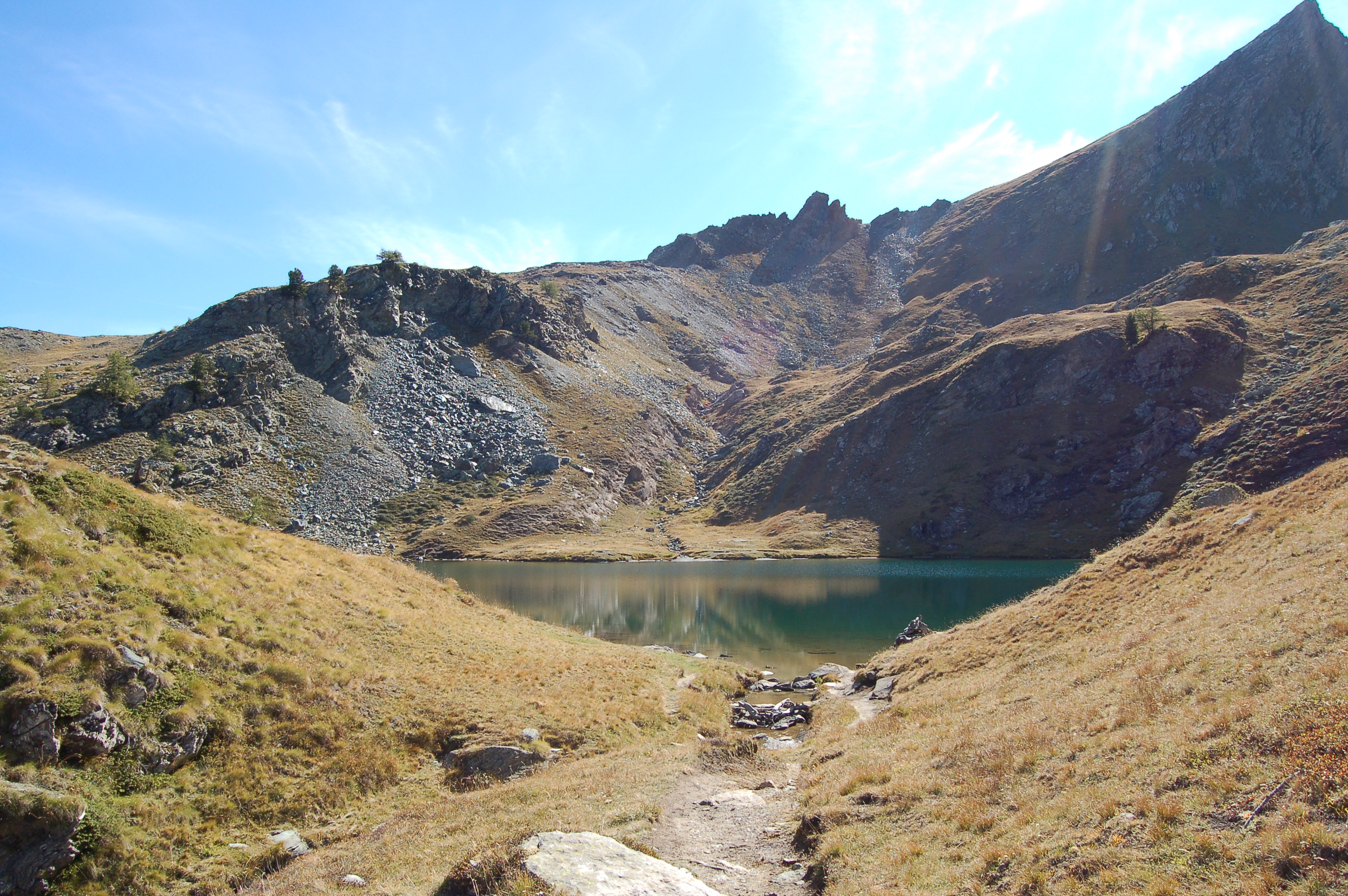
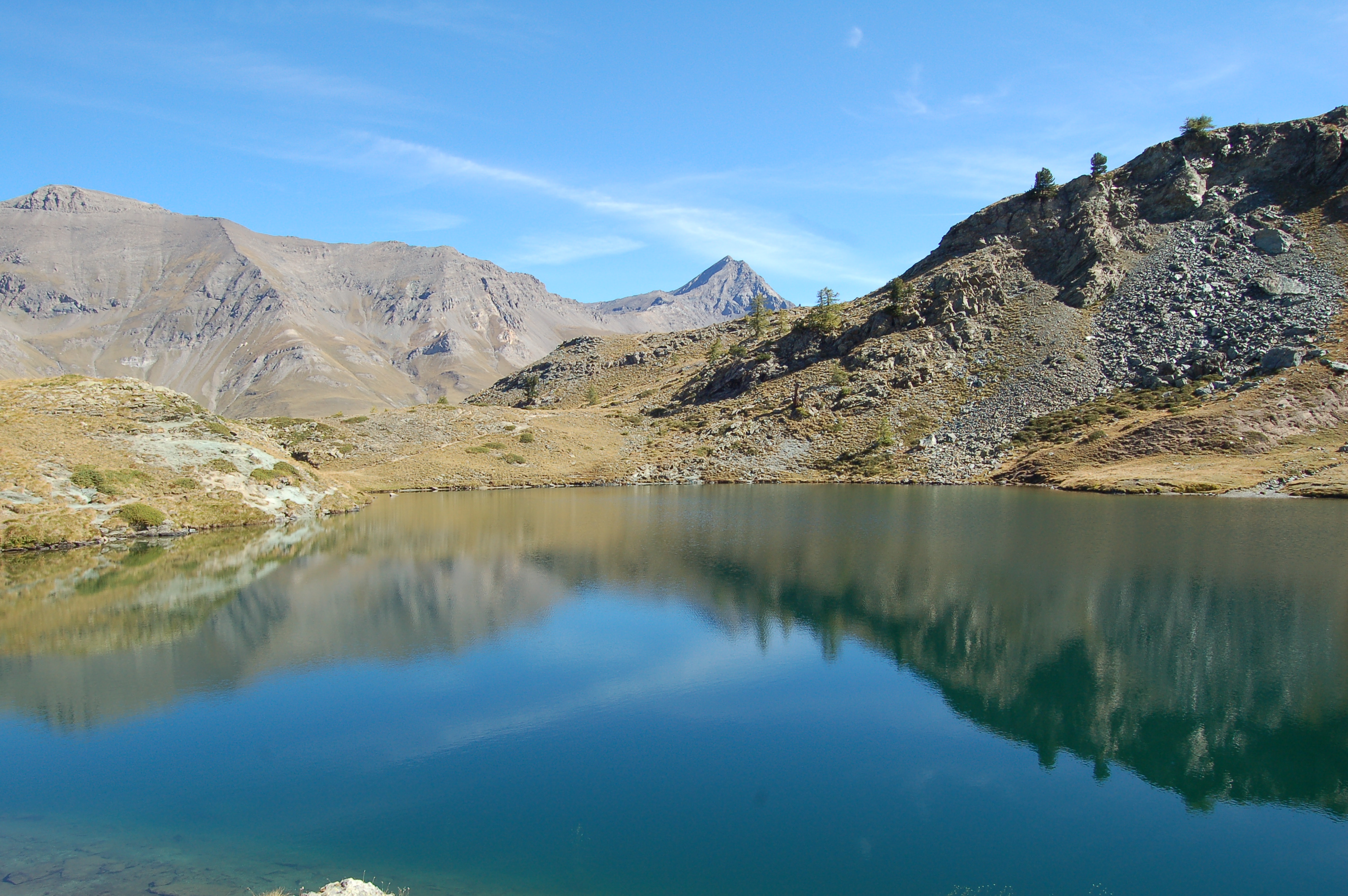
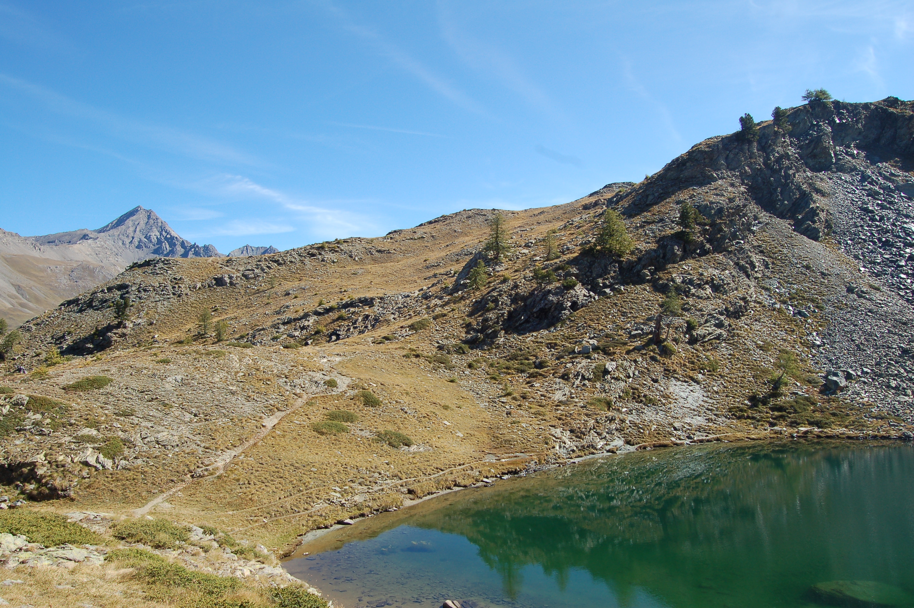
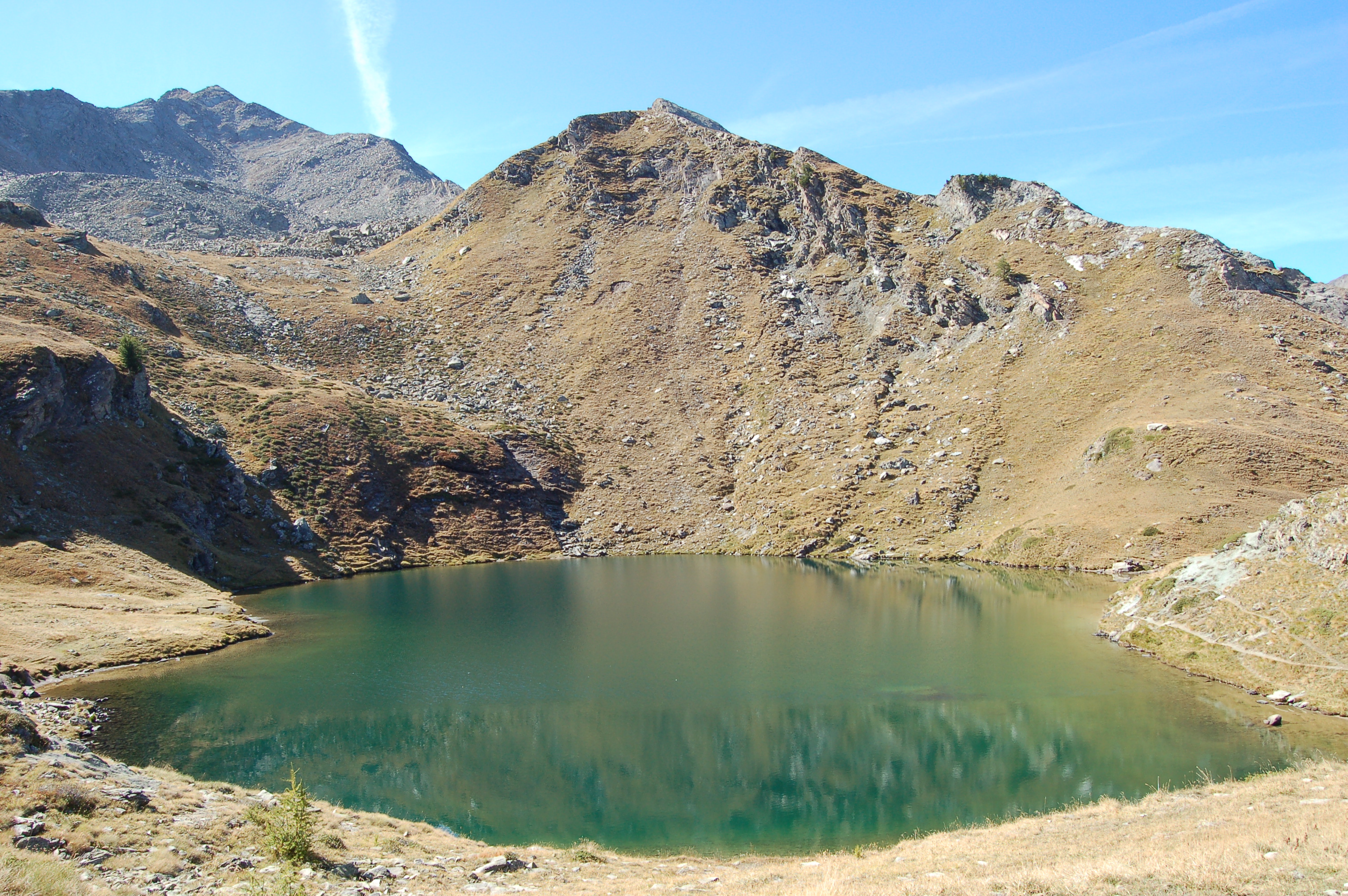
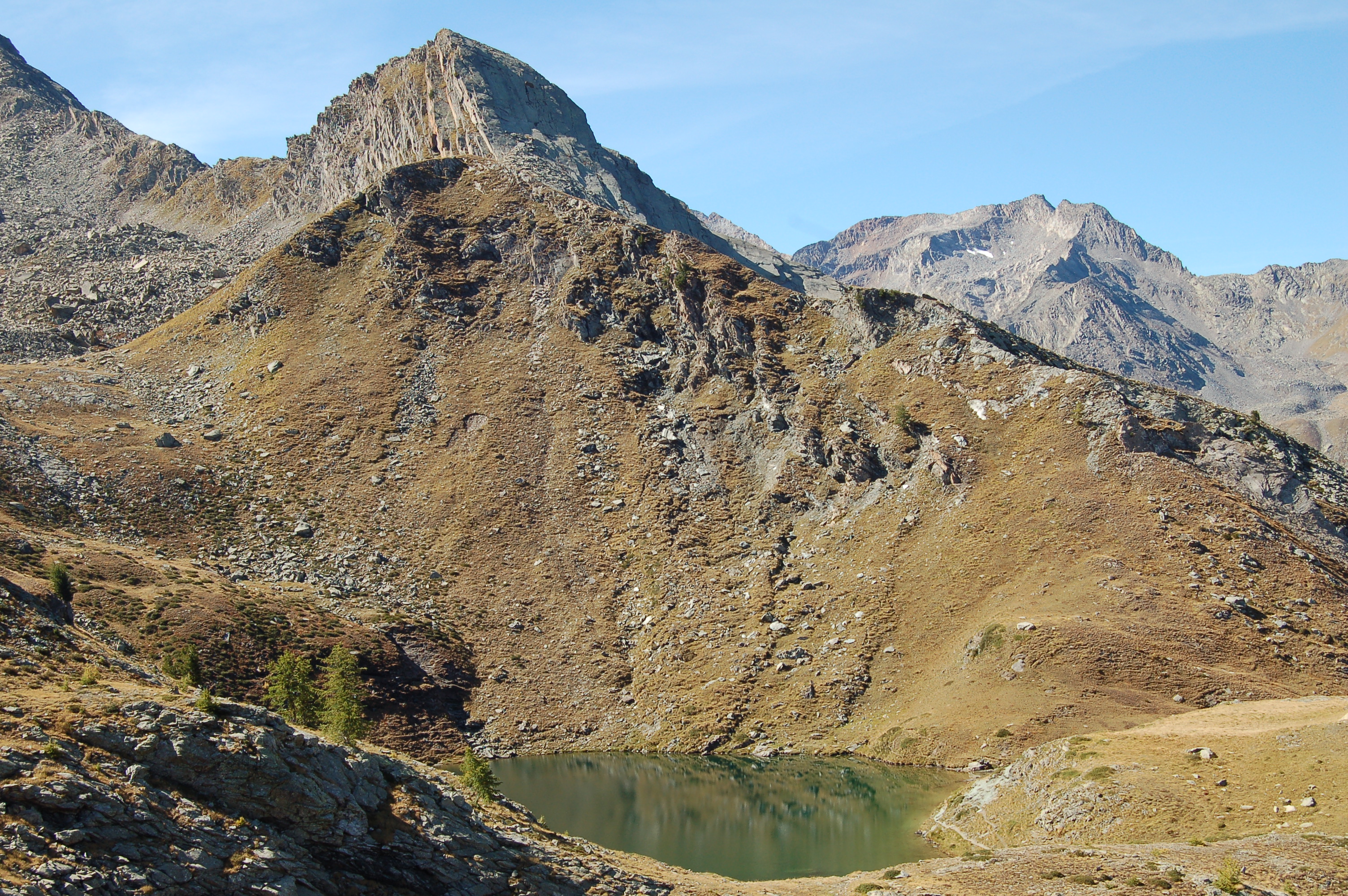
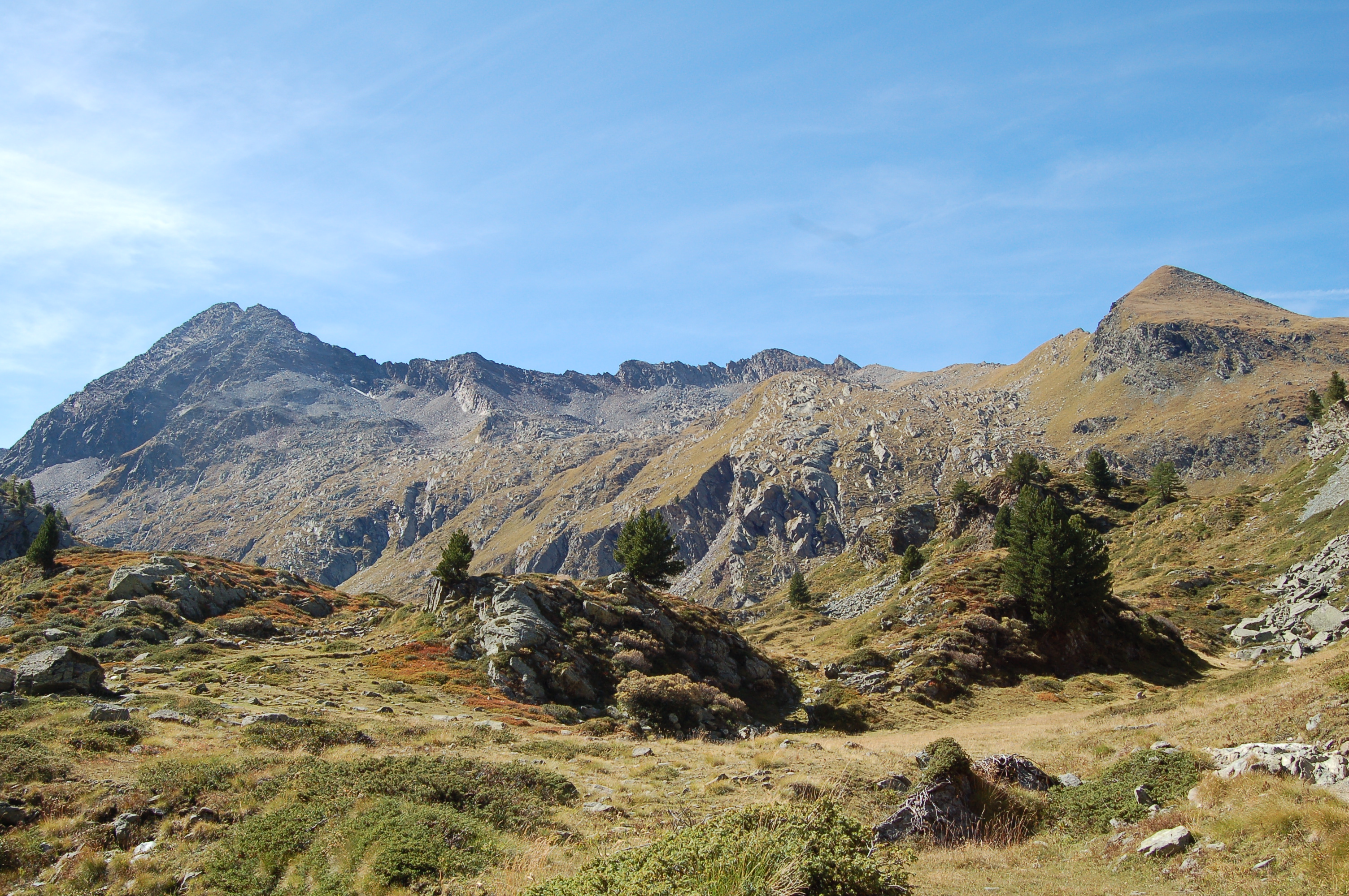
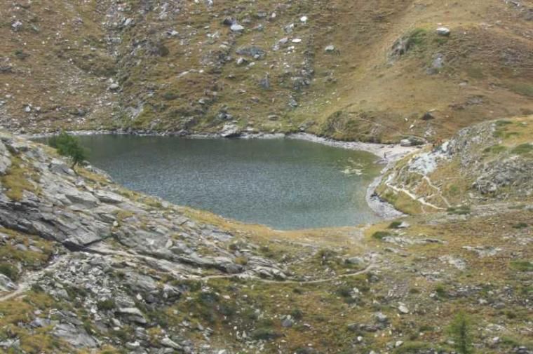
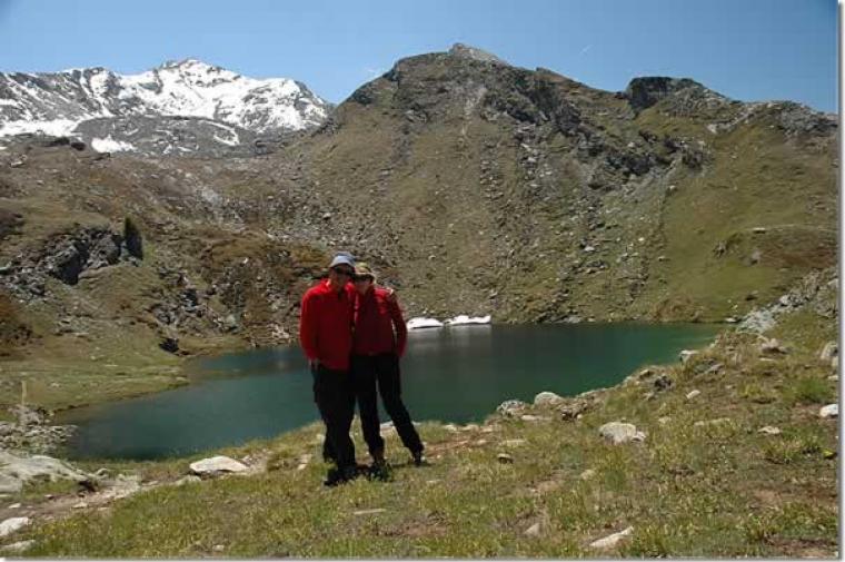
to the Loie lake. You initially skirt a wetland area, which is bypassed by the path in a wide semicircle, after which you begin to climb a small ridge; you quickly gain some altitude and the view of the Bardoney valley opens up sumptuously. At the end of this short ascent, the path proceeds with a few ups and downs in a westerly direction: in front of us is a beautiful view of the distant Mont Blanc. We follow a short ascent until we reach the high point of the hike (2390m), from here we descend briefly to a post: from here the lake is finally visible. Descend again for a short distance until you reach the edge of this beautiful little lake nestling at the foot of the peak of the same name (2346m, 2h30'). After skirting the lake, you reach the point where its outflow departs: cross the stream and, after an initial semi-flat section, begin the descent towards Lillaz. The path quickly loses height, offering some fine views of Lillaz and Cogne; it soon reaches the ruins of the Alpe di Loie (2217m, 2h50').
You then re-enter the forest and, with a series of bends, first come across a lovely little waterfall formed by the lake's outflowing waters and, shortly afterwards, you can see the more famous Lillaz waterfalls. Finally, a new fork is reached: ignore the path on the right that leads to the waterfalls and continue straight ahead; shortly afterwards, ignore the path on the left to Tséleret. All that remains now is to take the last section of the path that leads on the little road along the Urtier stream as far as the Lillaz waterfalls: when you reach the latter, turn right and continue to the village of Lillaz and finally reach the car park (1620m, 3h45').
General Information
Signposts:
,
and
Type of route: circular Recommended period: June, July, August, September, October Exposure to sunlight:North Objective Dangernone Exposed Tracts:none Useful Equipment:normal equipment and clothing for day hiking Water: Departure, Goilles Desot, Alpe Loie
Accesso Da Cogne; alla prima rotonda si va a sinistra in direzione di Lillaz, che è raggiunge dopo pochi chilometri. Prima del borgo sulla destra c’è un ampio parcheggio. Accesso Da Cogne; alla prima rotonda si va a sinistra in direzione di Lillaz, che è raggiunge dopo pochi chilometri. Prima del borgo sulla destra c’è un ampio parcheggio. Descrizione Si è partiti alle 9.15, seguendo le indicazioni per la cascata e poi piegando a destra sul n. 12, in ripida salita nel fresco bosco. Il tracciato è ben sistemato… e si hanno viste panoramiche su: uno dei salti delle cascate di Lillaz, sulla frazione e sul monte Bianco. Dai resti dell’Alpe Loie, finalmente spiana e si esce dal bosco. Si nota pure il gruppo montuoso della Grivola e, sul versante opposto a quello di cammino, spicca il complesso minierario di Colonna. Dopo una pietraia ed un ultima salita, finalmente, dopo 2h15m, si sbuca dal lago (2346 m). Si guadagna un rilievo, sui 2400 m, con un bel colpo d'occhio sul vallone di Urtier. Si continua, quasi in orizzontale, fino a scendere verso l’Alpe di Bardoney. Si fa la pausa pranzo dal torrente, sotto il bivio tra il sentiero 12 e il 13G (circa 1h +10’ x andare a vedere alpeggio). Si percorre ora il 13 G su un gradinato e si costeggia il torrente che fa dei salti… Si tiene la sinistra sul n. 2, nel bosco. Il fiume è vicino e fragoroso ma non visibile in sicurezza, poi ci si abbassa di quota e si varca un ponte, vicino a Goilles inf. 1834 m (1h20m). Si procede nella discesa sul n. 13 e, dopo 40’, si ignorano le indicazioni per la palestra di roccia. Pochi passi e ad un ulteriore bivio, si piega a sinistra lungo il sentiero 13 L (chi avesse premura può arrivare in fretta con il n. 13). Si risale brevemente per le cascate di Lillaz (30’ per la visita dei vari salti). Si è vicino all’abitato e c’è un po’ di confusione… Infine, si rientra a Lillaz (3h40 dal lago Loie, circa 6h totale, 800 m disl. Dif. E). se volete alcune foto ai link http://www.cralgalliera.altervista.org/lagoloie010.pdf link diretto http://digilander.libero.it/mmter/altre2010.htm Articolo su lago Loie uscito sulla rivista Fie Escursionismo http://escursionismogalliera.xoom.it/articoli/escursionismomar011.pdf NB: in caso di gita, verificare, sempre, con FIE, Cai, eventuale Ente parco o altre Istituzioni, pro loco, ecc., che non ci siano state variazioni che abbiano aumentato le difficoltà! Si declina ogni responsabilità. Il presente testo ha solo carattere puramente indicativo e non esaustivo.


Comments (0)
Sign in to leave a comment