Lake Leysser, from Lac de Joux


Edited by:
Giancarlo Beretta
Updated at: 03/09/2024
Access
Follow the motorway, pass the Aosta barrier and continue to the next exit Aosta-Ovest / Saint-Pierre. After leaving the motorway, take the direction for Saint-Pierre and turn left at the traffic lights. After a few kilometres, you reach Saint-Pierre, where there is a sign indicating the diversions to Saint Nicolas on the right-hand side of the state road. Continue for about ten kilometres and you will reach the main town, pass it and at the first crossroads turn left and follow the signs for Vens; after a short distance, the road to Vens branches off, well indicated on the right. When you reach the village, climb up the road on the left and after a few hairpin bends you will reach the convenient car park near Lac de Joux.
Introduction
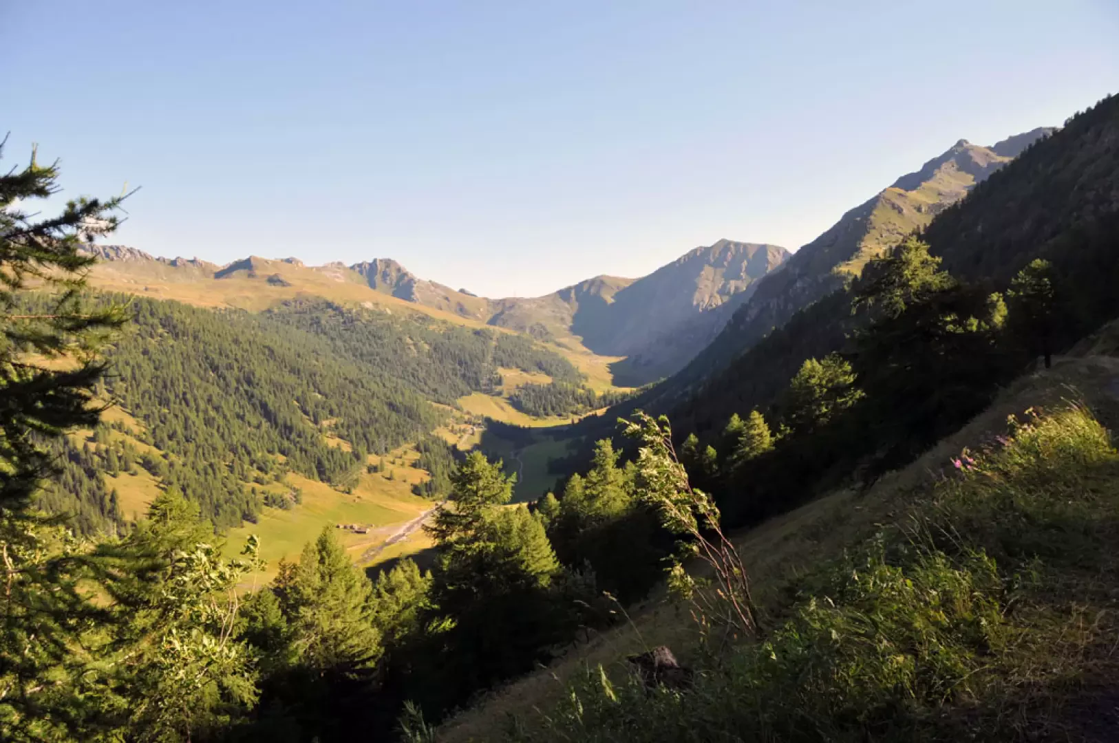
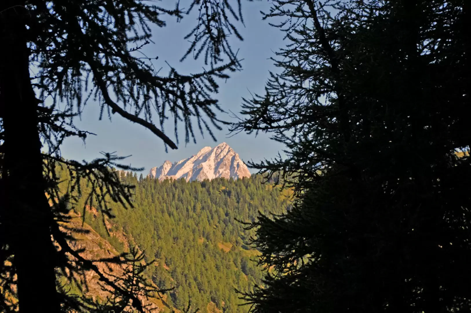
Easy hike without excessive altitude difference leading to a lake in the Vertosan valley on the slopes of Mont Rouge. You walk through a beautiful forest in the sight of the verdant pastures of the valley and the numerous alpine pastures present, discovering, as you ascend, the summit parts of Mont Blanc and the Grandes Jorasses peeping through the branches of the trees.
Description
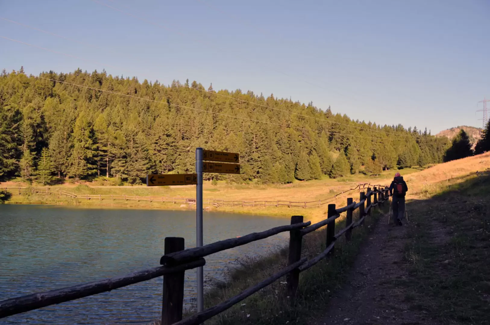
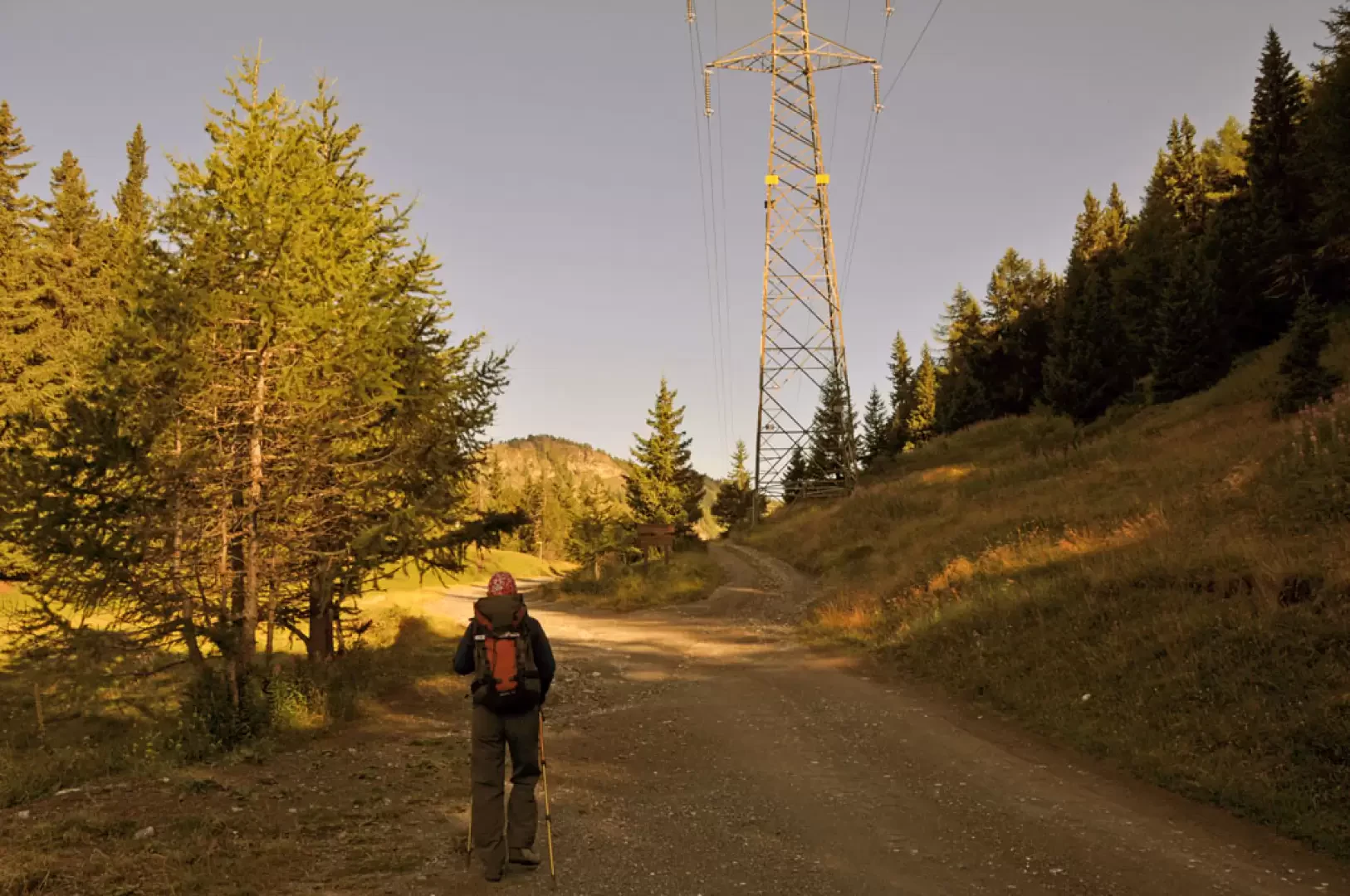
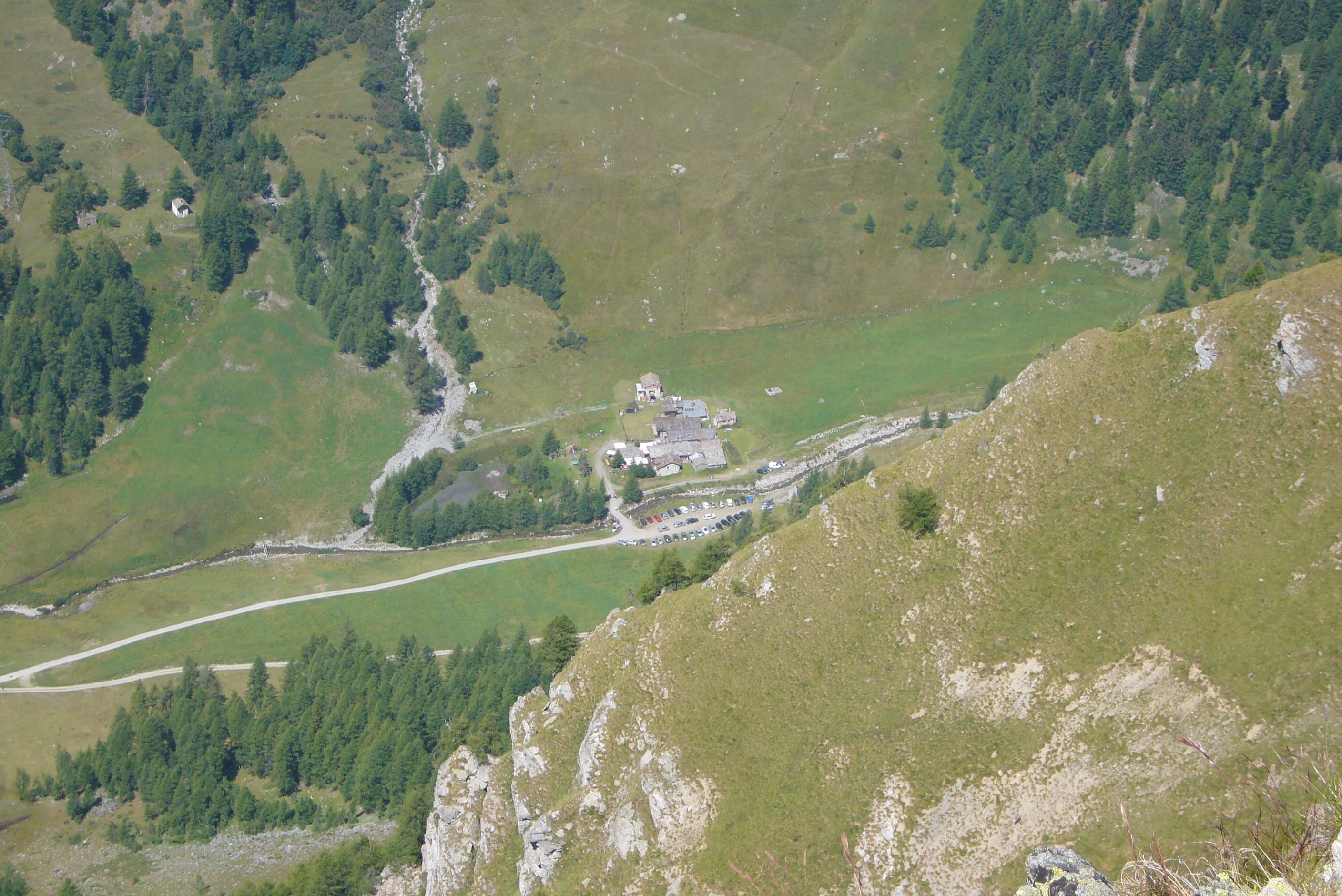
From the car park, we pass to the right of the lake, where there are the starting points for the itinerary, cross it and reach a farm road that after a short while presents a fork in the road. Following the signs for the lake, which make us keep to the right as we pass by a high-tension pylon, we enter a beautiful beech and coniferous forest, walking, still on the farm road, halfway up the slope to contour the western slopes of the Punta Oillette above.
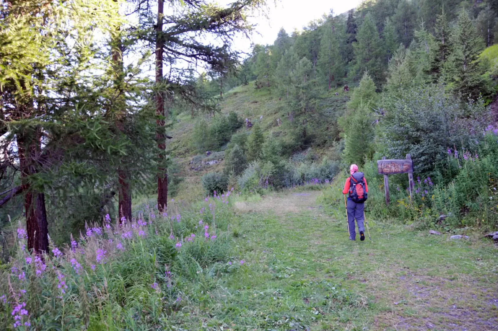
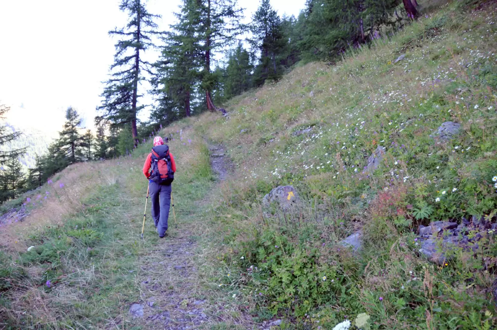
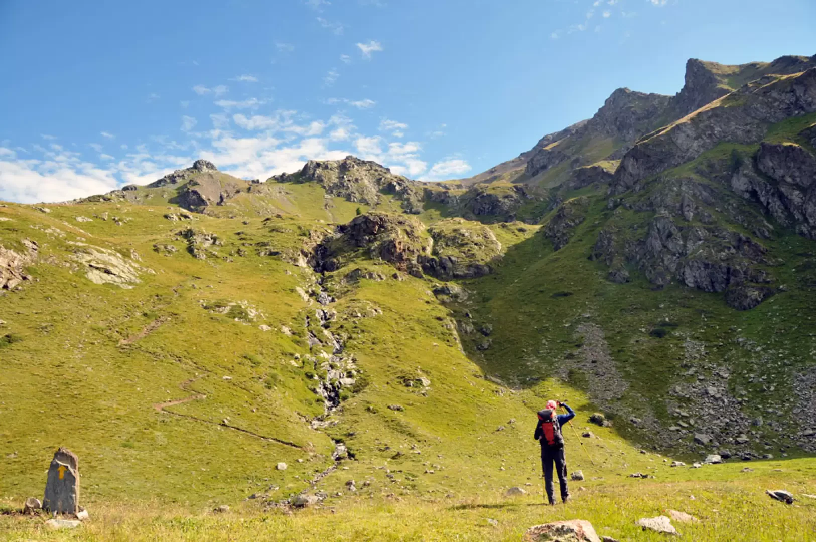
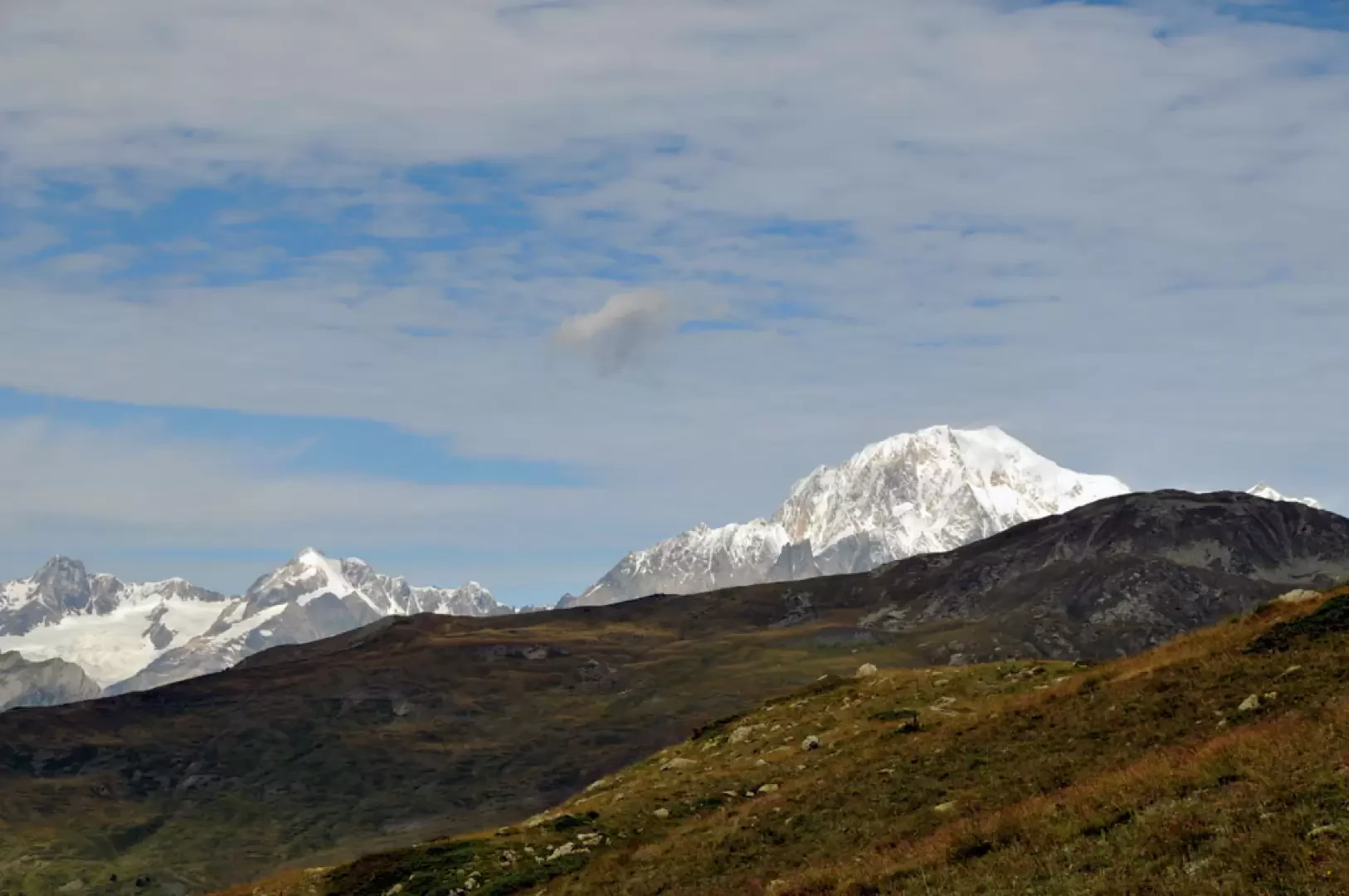
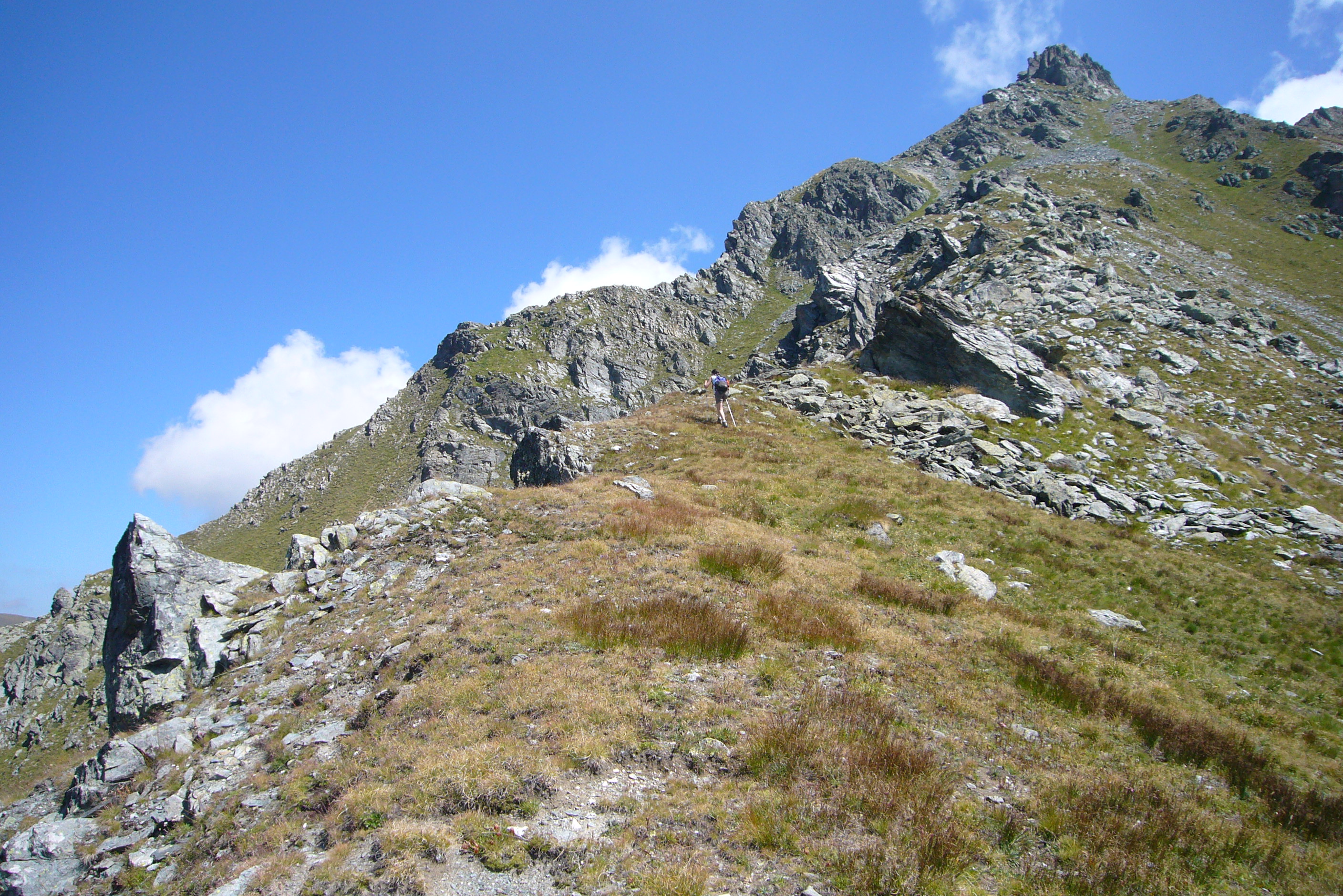
We walk a long way without gaining much altitude on the track, which allows us to enjoy beautiful views of the pastures and peaks of the Vertosan valley until we reach, near a hairpin bend, a wooden signpost that leads us straight on to the lake and the Leysser comba. The farm track now turns into a wide, grassy mule track and after a short distance you come to another fork with yellow arrows on stones indicating that you should continue on a path to the right. Walk up a moderate slope into the Leysser comba, cutting across the slope halfway up and, having reached a plateau, ascend on the left, at a greater gradient, towards a grassy rampart. After crossing a stream and a few hairpin bends, you reach the basin where the lake is located. Here the panorama, closed towards the east, sweeps over the green pastures of the Vertosan valley, contrasting with the glaciers of the Mont Blanc chain towards the northwest.
General information
Signposts:
Type of route: a/r
Recommended period: June, July, August, September, October
Exposure to sunlight:east
Objective Danger: none
Exposed Tracts: none
Useful Equipment: normal daily hiking gear
Water:not present on route
Photo gallery
We have been there

Edited by:
Maurizio Bergamini
Lago Leysser
Tutto ok come da relazione, salvo il dettaglio nell'accesso automobilistico: giunti alla frazione di Vens si svolta a destra e non a sinistra. Consiglio di proseguire alcuni minuti oltre il lago, fino alla cresta ad ovest: il panorama sarà sicuramente migliore sia sulla catena del Bianco in lontananza, sia sulla comba di Vertosan a picco sotto i piedi... Avvistamenti faunistici: Rupicapra rupicapra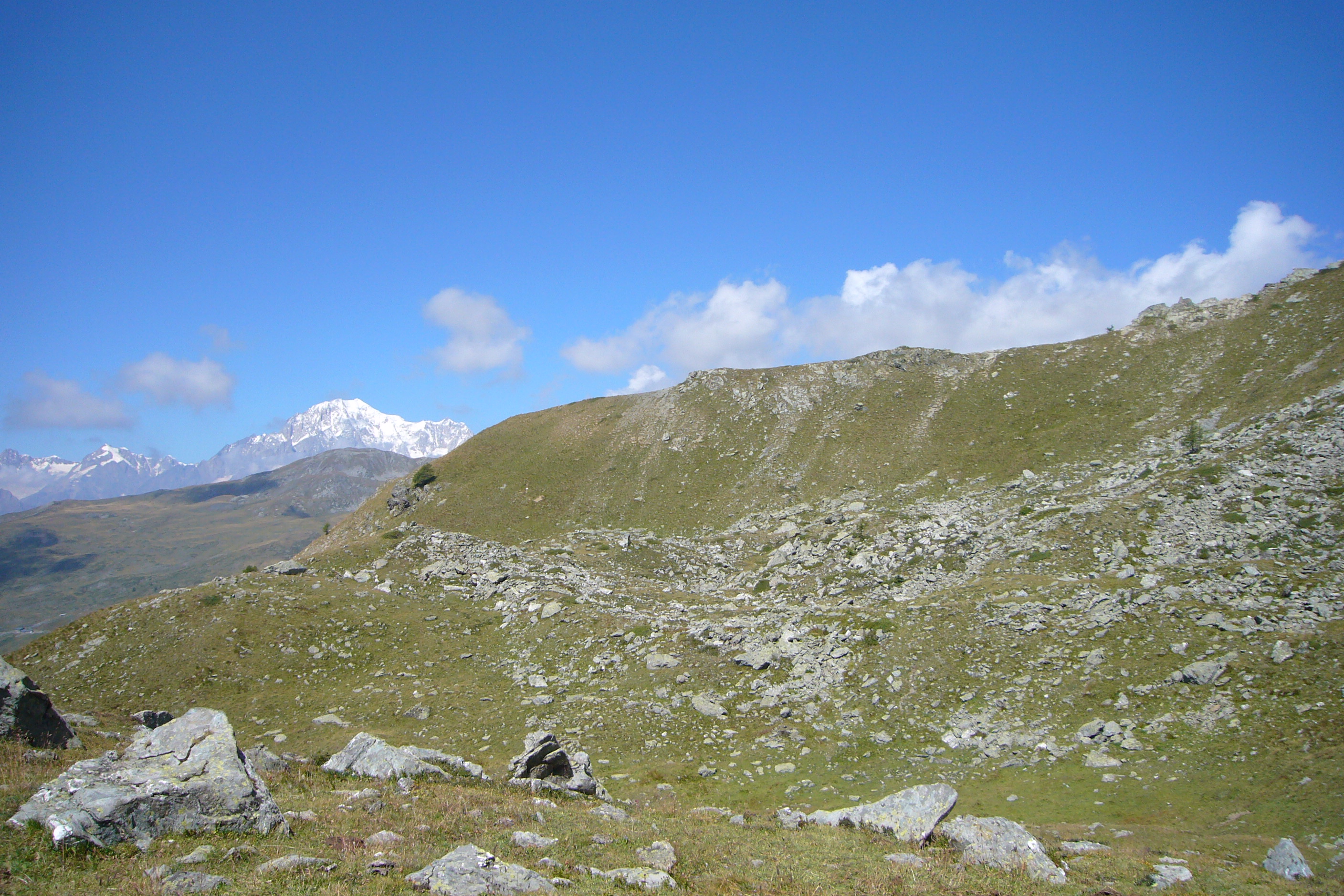
Comments (0)
Sign in to leave a comment