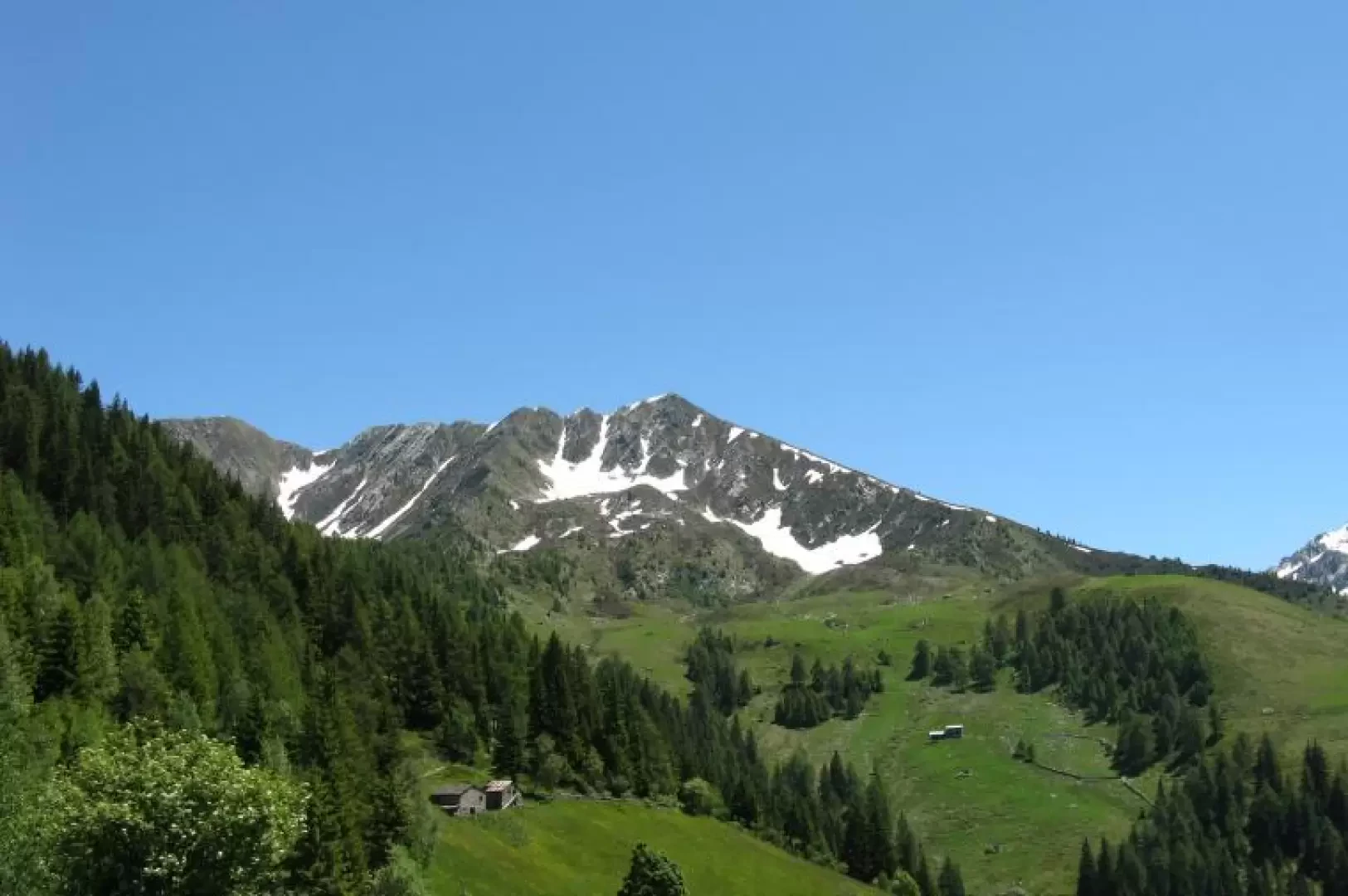
Monte Lago

Access
SS 36 to Colico, then SS 38 towards Sondrio to Morbegno. Follow the signs for Passo S. Marco. After passing through the village of Albaredo continue until km 15. Park on the side of the road.
Introduction
Mount Lago is the third peak in the Bitto Valley of Albaredo, after Mount Azzarini and Mount Pedena. Its peak, 2353 m, is easily reached at first via moderately steep paths, then along the western ridge. It is a mountain of modest elevation but located in a privileged position; in fact, the panorama from the summit is superb. The eye sweeps over the Orobic chain, the Masino-Bregaglia group as far as Mount Disgrazia and the eastern slope of the Lepontine Alps.
.Description
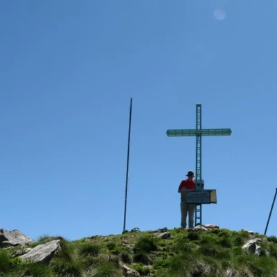
Leaving the car on the road to the San Marco pass, at an altitude of 1380m, take a small tarmac road on the left (signposts) which you leave immediately afterwards to take a mule track on the right. You enter a beech and pine forest and soon come out at the Scoccia huts. Continuing on a steady but modest climb, you come to the meadows of Corte Grassa (1500m) and a little further up, the huts of Corte Grande (1600m). Now the path flattens out and at a fork in the path, take a left up to the Cornelli huts. The trail continues to the right and, above the huts, heads east in the direction of Baitidrana, where there are beautiful alpine pastures, and Alpe Piazza. When you come to a subsequent fork signposted by several signs, stay on the direction taken (path 132) and in a few minutes you will reach the Alpe Piazza hut (1835m). The hut is also open in the winter season, as Monte Lago is a popular ski-mountaineering destination. After the refuge, continue along the same path 132 (Gran Via delle Orobie) to the huts visible higher up. These are the Bivacco Legui bivouac and a hut on which a stone slab is placed, recalling the work and labours of the mountaineers who inhabited these places over the centuries. From the bivouac, the path continues to a small pass, marked by a large cairn (approx. 2100m). Upon reaching the small pass, turn left along the ridge. Just ahead, one notices that there are four cairns, placed a few dozen metres apart. Along the ascent, steeper than the path travelled so far but still easy, runs a track to the summit, on which is a metal cross and summit book. The descent is by the same route as the ascent.
.