Pizzo Scalino

Edited by:
Marco Bonati
Updated at: 15/06/2025
Description
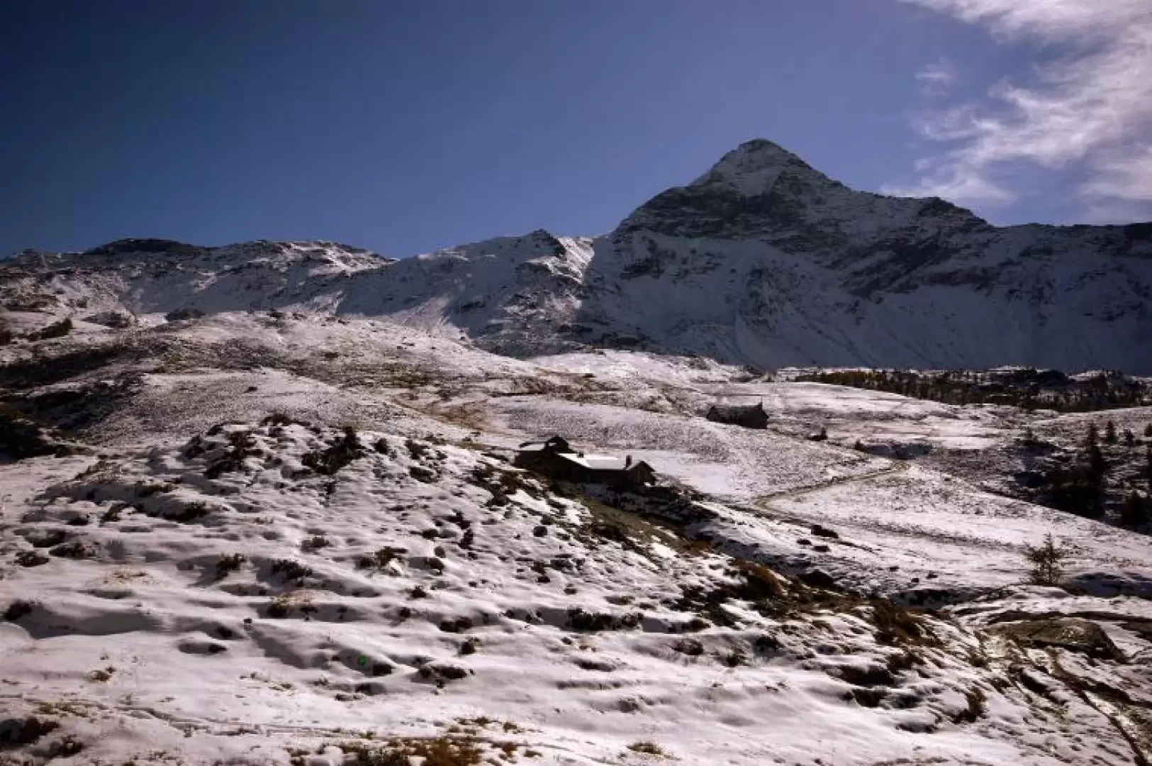
From the car park, it takes a few minutes to climb to the visible Rifugio Zoia 2021m and from here, following the clear signposting, head towards Alpe Campagneda 2145m. The mule track, wide and stepped in shiny serpentine, in a succession of ascents and descents, crosses the slopes of Monte Spondascia 2867m to pass into the Campagneda valley. Along the way, the famous 'Falesie dello Zoia' (locally known as 'Sass negru') are touched upon, which can only be approached by a few athletes, given the average difficulty of 7c-8a. In view of Alpe Campagneda, the stony ground gives way to streams and marshy pastures; and with constant features, the grassy path heads towards Pizzo Scalino. From the flat valley, the track - clearly visible and signposted - begins to climb the very steep slope of the Cornetto: 600m of difference in altitude are overcome in about an hour on rocky breccia terrain at the limits of sole grip. When you reach the side plateau at Cornetto 2848m, you have a view of the glacier with the track that is normally present: a wide turn to the left allows you to avoid wide cracks at the rock face. Having passed this section - which is in any case rather steep - you enter, between narrow and close cracks, the final basin between Pizzo Scalino and Cima di Val Fontana 3222m; having passed, where possible, the terminal crevasse and the upper chasm, you find yourself at a wide stony opening. From here, finding the path between the piled boulders of the summit, with a slightly spiral course, you reach the conspicuous summit cross 3323m. It is possible to return along the same route or, with a slight diversions, to visit Alpe Prabello. At the end of the descent of the Cornetto slope, we turn left, crossing the entire Piano dei cavalli 2327m, until we reach the picturesque basin of Alpe Prabello 2287m, with a characteristic little church and the Cristina hut. Following the signs - initially along a private carriage track - we descend, between small valleys interspersed with marshes, to Alpe Campascio di Caspoggio 2078 m, where we find the track again; we follow it along cemented and then asphalted hairpin bends until the confluence with the last stretch travelled during the approach by car: little more than a kilometre upstream (and 6 dark tunnels) separate us from the car park.
.