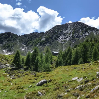
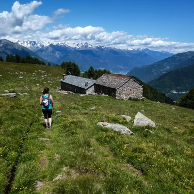
Pizzo dei Galli
Access
From Milan to Morbegno along state roads 36 and 38; at the roundabout at the entrance to the town turn right towards Valgerola. Continue along the provincial road to the hamlet of Sacco and park in one of the many small spaces available in the village.
Introduction
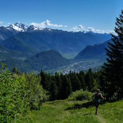
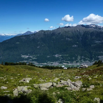
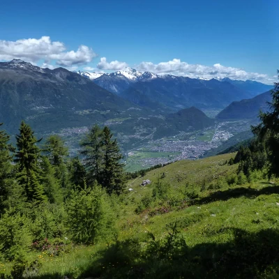
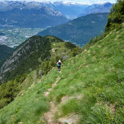
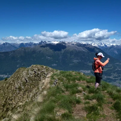
Panoramic hike to a peaceful grassy peak overlooking the lower Valtellina overlooking the town of Morbegno: in the background, a magnificent view of the Rhaetian Alps of Masino and Bernina. The cocks referred to in the place name are the forcelli (or black grouse), which, together with the now even rarer capercaillie, were part - before being practically exterminated by unlimited hunting - of the typical avifauna of these Orobic valleys.
Description
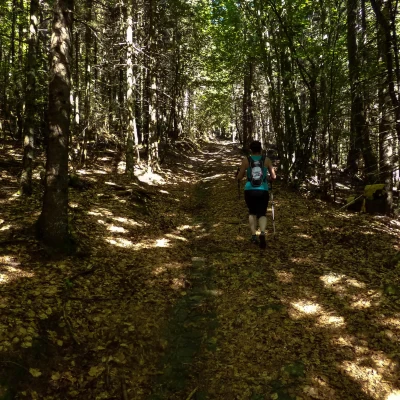
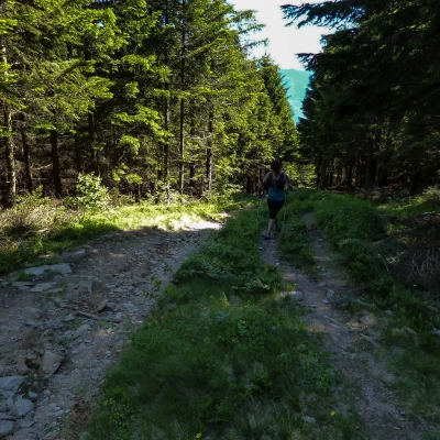
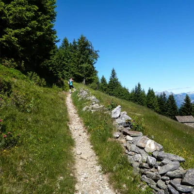
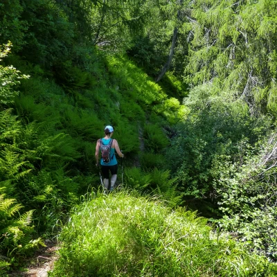
From the car park, go up to the main square 700m of the village (parish church and building with ancient frescoes) and turn left onto a small road that passes under a house with arches (in a courtyard, on the right, is the ancient dwelling with the "Homo Selvadego" painting cycle); continue upwards and, at a fork, continue to the right, shortly reaching the small church of San Bernardo. To the left of the small religious building begins a cobbled mule track that, with a few bends in the wood, climbs to the continuation of the dirt track abandoned at the little church: follow it to the left for a few dozen metres, until you find the resumption of the ancient route on the right. From here, the mule track - splendid in its integrity of route and structure - climbs very steeply for a long time into the mixed broadleaf and coniferous forest; coming out of a fir wood, it follows an asphalted road for a few hundred metres (ignore the deviations at a hairpin bend) to the car park of Rifugio Corte 1259m. From here begin the hiking signs of the Parco delle Orobie Valtellinesi. Following the signs, we ascend into the forest along an uneven, stony track to the scattered dwellings of the maggengo Tagliate: this is a series of clearings connected by connecting paths, arranged diagonally from east to west (Tagliate di Sotto 1245m, Tagliate di Mezzo 1344m and Tagliate di Sopra 1452m).
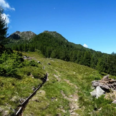
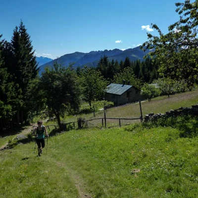
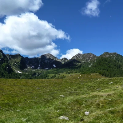
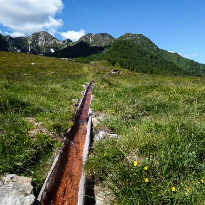
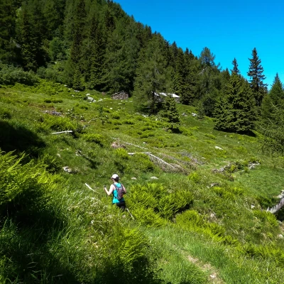
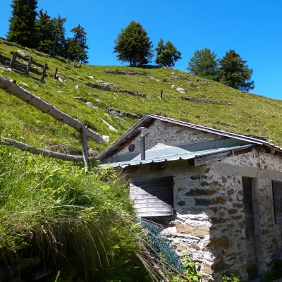
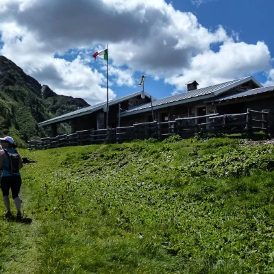
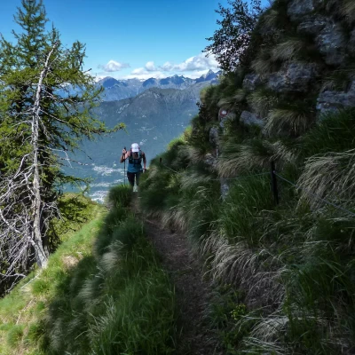
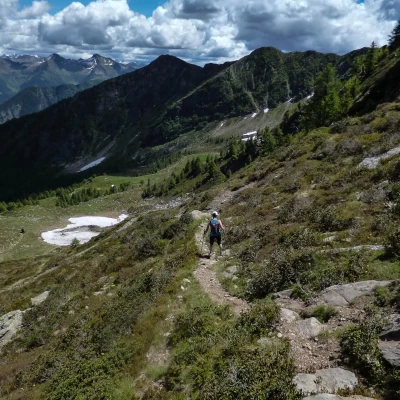
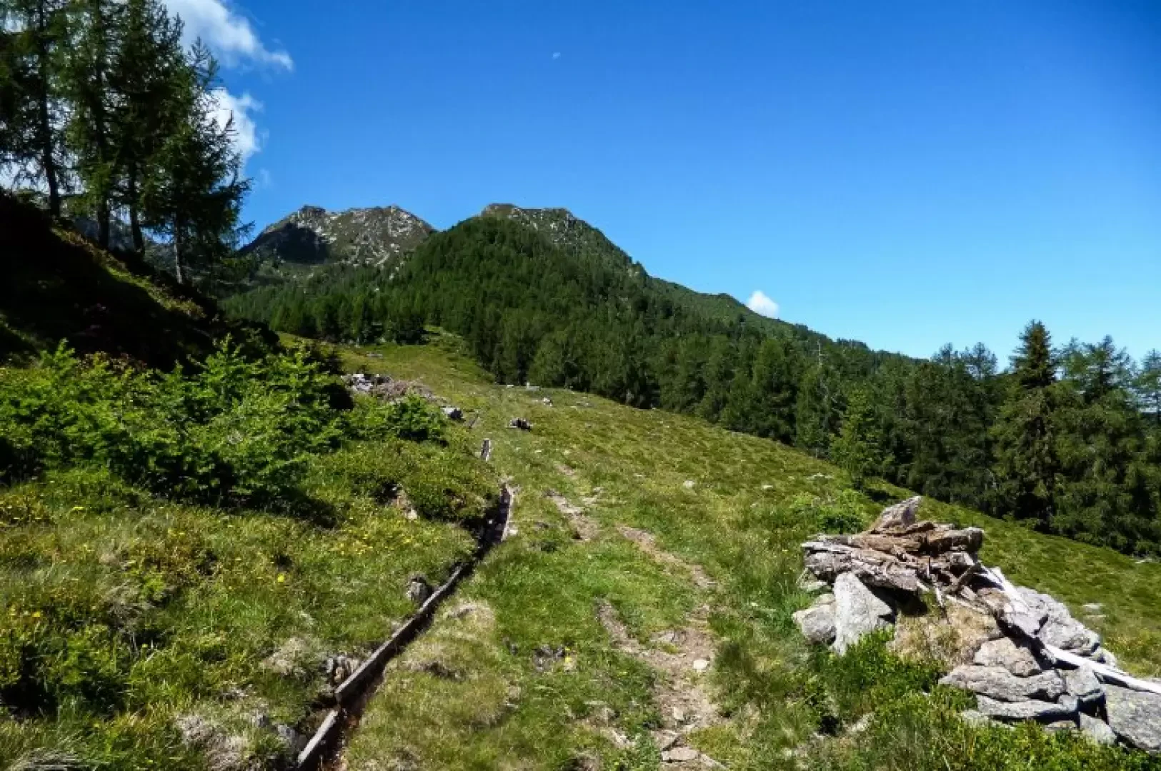
At the end of the last wood, you come out onto a damp plain with a fountain, hut and calec (a small construction with dry stone walls around the perimeter and waterproof canvas covering, used as a temporary dairy, following the movements of the grazing animals), Barico 1541m; the path, with a long diagonal to the left, climbs the magnificent Monte di Olano 1702m hump, a vast and panoramic expanse of pastureland that enters the small valley surrounded by the first peaks of the western side of the Valgerola: from left Cima della Rosetta 2142m, Monte Combana 2327m, Pizzo di Olano 2267m and Pizzo dei Galli 2217m. Past a small pond fed by a gully formed by hollowed-out segments of larch trunk, near a watering hole, we descend to the right, back into the woods, to find a small path that penetrates among tall grasses: this is what remains of a stretch of the GVO (Gran Via delle Orobie), a splendid and wild trek that joins Delebio to the Aprica in a route that crosses all the Orobic valleys at high altitude; a route that has now been practically forgotten in its entirety, due to the simple logistical problem of the absence of refuges along the way. The path continues evidently up and down as far as the clearing of the abandoned huts at Q 1703m; beyond this point, the track - also due to recent small landslides and collapsed trees - is less visible as it descends towards the vast meadows of Alpe Tagliata 1573m: without losing any more altitude, it is best not to descend to the huts, but to keep to the edge of the forest until you come to a steep path that goes up to the stables of Alpe Piazza 1732m.
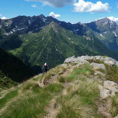
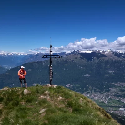
Another short climb and you reach the wide ridge that, a little further on, houses a small lake and the renovated buildings of Alpe Piazza 1844m (one room is used as an emergency bivouac). Continuing along the comfortable ridge on a grassy track carved into the alders, go up the western slope of the shoulder that descends to the NW of Pizzo dei Galli; a few traverses on the steep slope, assisted by a handrail cable, lead to a few modest rocks that support a commemorative cross (summit book): in reality, this is not the real summit, but a forepart that is clearly visible from the bottom of the valley. The Pizzo dei Galli 2217m can be reached along a somewhat narrow but comfortable ridge along a path.
For the return trip, continue along the ridge down to the Bocchetta della Majona (neither listed nor named on the maps) and along the small valley that turns to the east: numerous tracks in the steep and landslide slope lead to the Pian di Sprizzi hut 1853m. In the absence of any painted markings and with few signs of passage through the pastureland, the path gradually turns left until it again meets the small larch aqueduct, here quite close to its water source. There is nothing left to do but follow the little service path which, having passed the flat pastures of the Casera di Olano 1792m, goes on to join the uphill route near the small lake of Monte di Olano: from here take the outward route.
