Pizzo della Sancia

Edited by:
Marco Bonati
Introduction
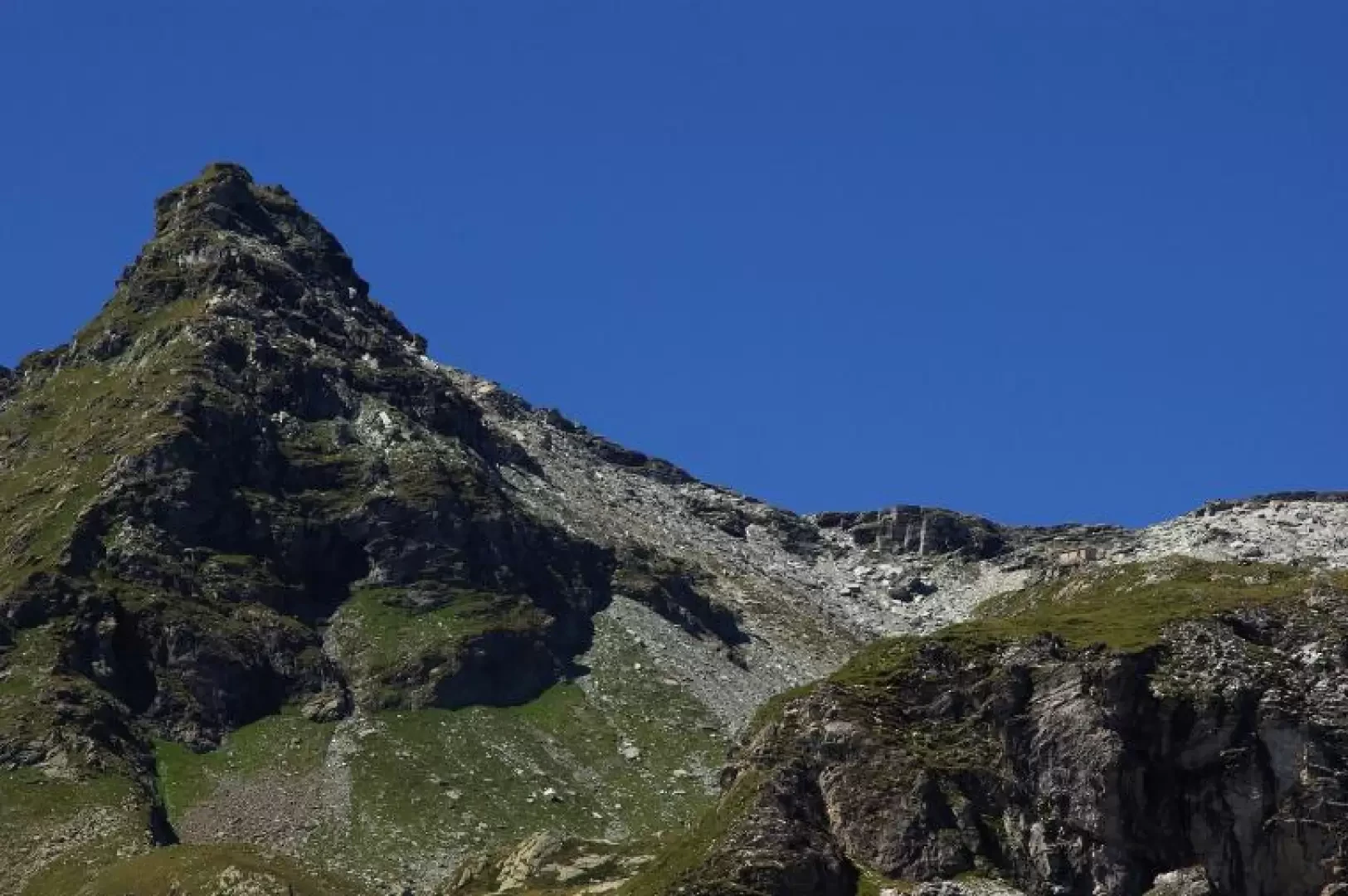
A peak of secondary importance that is easy to reach despite its severe appearance. Due to its isolated position, it is a particularly interesting viewpoint over all the mountains of the Spluga Valley and the narrow groove of the Swiss Mesolcina Valley. Be careful, on reaching the summit, not to give confidence to the precipitous Swiss side: some cracks in the rock - remnants of the 1993 landslide - suggest unstable conditions.
Description
From Starleggia 1560 m, following the signs, cross the few houses to reach a strip of now uncultivated meadows in the direction of a dense fir forest. Beyond it, near an isolated bell-tower, you come out into the splendid basin of San Sisto 1769 m. The path continues slightly uphill among the pastures in the direction of the few houses of Gusone 1890 m: without reaching them, turn gradually to the left until you cross the stream on a wide bridge; you are soon among the huts of Morone 1860 m. A slope behind the alp is furrowed by two evident paths: choose the lower one and follow it until the structures of the Valle della Sancia water intake 2010 m. You will immediately come across clear markings of a crossroads on the ground on a boulder: from here on, however, the path is reduced to a vague trace and the paint markings become rare and faded. We continue along a grassy rib until we enter a small valley characterised by limestone landslides: we are on the line of a gully of rubble that must be climbed on the right-hand edge on a landslide track. At its culmination, we reach the Cà Bianca Bivouac building 2572 m (recent - 1997 - refurbishment of a service building of the adjacent disused beola quarry). Continue along a vague depression to the boundary ridge (Swiss painted signs): turn left across a sort of paved stony plateau and keep - amidst piled up boulders - close to the easy ridge. You soon reach the flat, grassy summit of Pizzo della Sancia 2718 m ("Piz de Montagnìa" according to the CNS, "Pizzot" for the locals). In contrast to the gentle slope of the Italian side, the Swiss side is an unstable vertical of several tens of metres. Pizzo della Sancia is also a little-known ski mountaineering destination: pay attention to the cornices in the final section and the access channel to the bivouac. Return along the outward route.