Pizzo Alto, from Alpe Premaniga

Edited by:
Rita Tarussello
Updated at: 03/09/2024
Introduction
Pizzo Alto is a mountain in the Lombardy Pre-Alps that is less frequented than the better-known Monte Legnone and Pizzo Tre Signori, but is nevertheless just as interesting and highly satisfying. It rises between Val Varrone and Valtellina, presenting a sharp and severe profile. The effort required to cover the significant difference in height is compensated for by the beauty of the route, especially in late spring, with the crossing of rhododendron blossoms and green ferns, as well as the grandiose panorama from the summit.Description
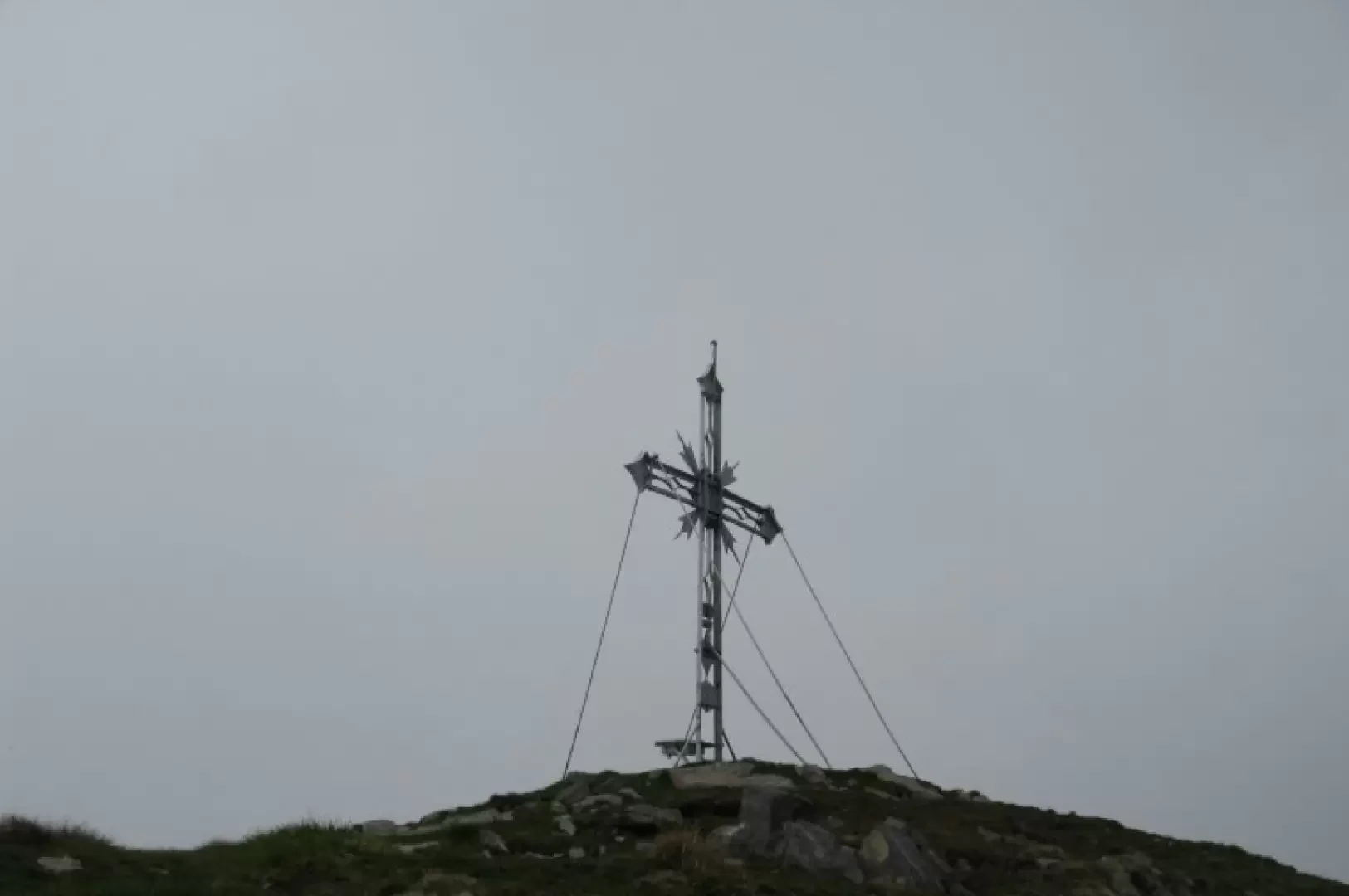
From the car park, descend the road again, meeting after about a hundred metres some signposts at the entrance to a small road that starts on the right. You ascend above the built-up area of Premana along a paved path that in places cuts across steep meadows, encountering alpine pastures and entering beautiful woods full of watercourses. After about an hour's walk through the woods, you reach a small chapel immersed in an area of ferns and rhododendrons, from which the first building of Alpe Deleguaccio is visible. The path climbs a little steeper and with a few hairpin bends reaches the mountain pasture located on a panoramic terrace (1668 m) from which the slopes of the Legnone and, much further away, the Grigna are visible. Behind Alpe Deleguaccio, the trail continues, tracing winding bends across the meadows, twice crossing the emissary watercourse of the lake above, and rising until it reaches the bivouac located on the banks of Lake Inferiore di Deleguaccio (2060 m). Go round the lake on its right bank, taking the watercourse that comes from the Superior Lakes and over the rocky rampart, rising laboriously through a detrital gully helped by a chain that runs along it to the end. Having passed this section in about 30 minutes, you find yourself at the entrance to a basin that houses the two Deleguaccio Superior Lakes (2250 m). Go around the second lake on the left, following a faint track halfway up to the Bocchetta del Cortese. You now pass to the other side (south) and following the route of the Alta Via della Valsassina, in a rugged and wild environment, through a sometimes exposed path and sometimes over easy rocky cliffs, you finally reach the slopes of Pizzo Alto. The summit is reached by following a track that bends to the left and in a few minutes leads to the summit cross.
We have been there

Edited by:
Ermanno Panara
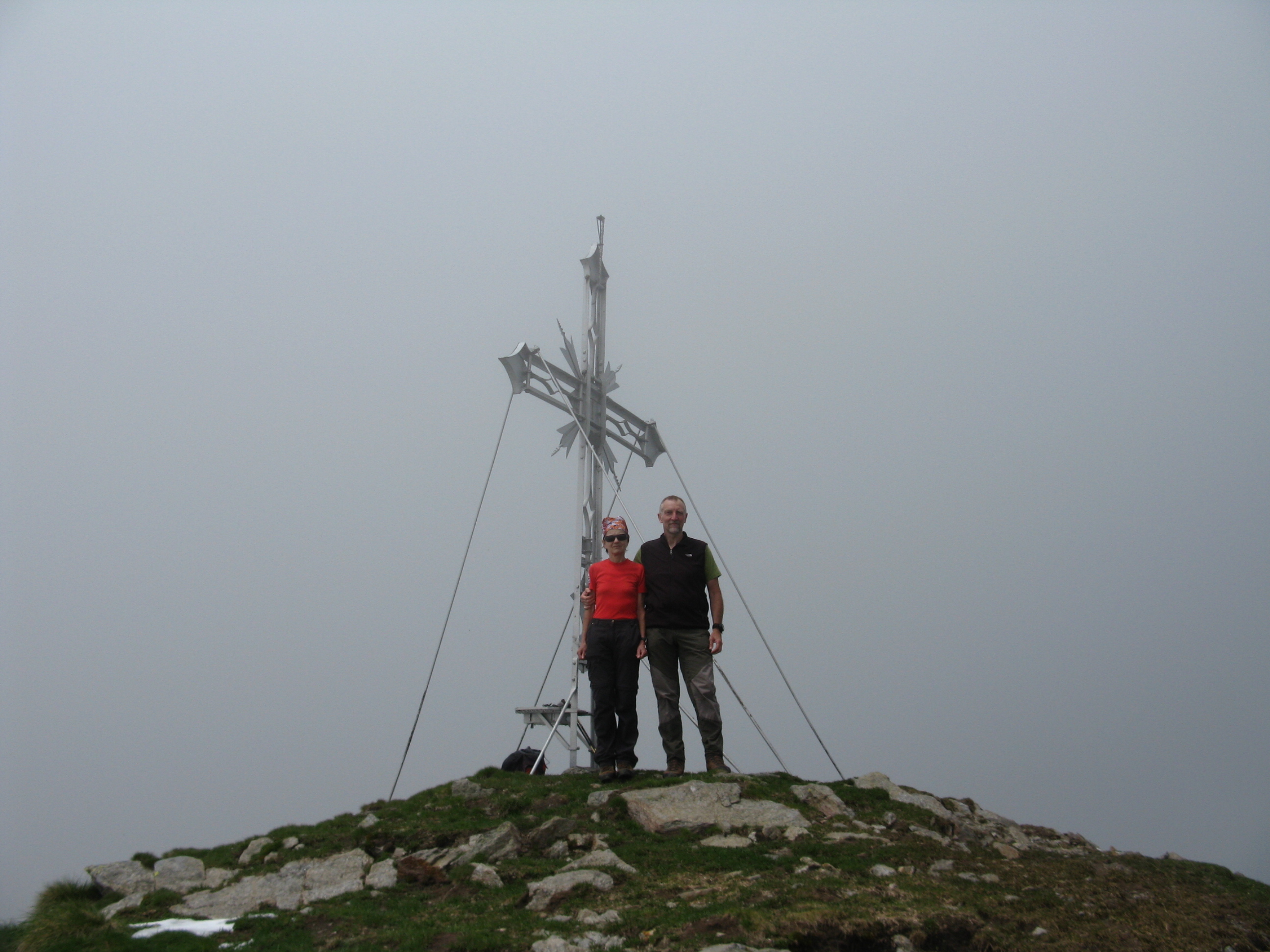
Pizzo Alto
gita lunga, impegnativa ma di grande soddisfazione. quando si arriva alla Bocchetta del Cortese, e si intravede la vetta dell'apparentemente lontanissimo e aguzzo Pizzo Alto vien voglia di tornare indietro... ma è solo un'impressione perchè è meno lontano e complicato di quanto sembra. Partire presto per evitare il gran caldo e i frequanti annuvolamenti pomeridiani. Avvistamenti floristici: rododendrogita lunga, impegnativa ma di grande soddisfazione. quando si arriva alla Bocchetta del Cortese, e si intravede la vetta dell'apparentemente lontanissimo e aguzzo Pizzo Alto vien voglia di tornare indietro... ma è solo un'impressione perchè è meno lontano e complicato di quanto sembra. Partire presto per evitare il gran caldo e i frequanti annuvolamenti pomeridiani. Avvistamenti floristici: rododendro