Lac Lochien, from Mandriou


Edited by:
Massimo Martini
Updated at: 26/06/2025
Access
Leaving the motorway at the Verrès exit, enter the roundabout and take the second exit. Proceed in the direction of the town centre and, after 300m, turn left onto the regional road for Val d'Ayas. Follow the regional road for 22.1 kilometres, passing through the villages of Challand-Saint-Victor and Challand-Saint-Anselme, Brusson, Vollon and Extrapieraz until you come to a crossroads for Antagnod in the hamlet of Corbet. Turn left and follow the regional road to Antagnod, passing the villages of Lignod and Antagnod. After about 4 kilometres you'll come to the crossroads for Barmasc, ignore the left turn and continue along the municipal road for 1.3 kilometres until you come to the crossroads for Mandriou. Turn left and drive up Route de Mandriou for a further 1.6 kilometres until you reach the free car park 🅿️ facing the village. In case of heavy traffic, turn back and park along the road, taking care not to get in the way.
[0h44'] - [28.6km]
How to get there with GMaps
How to get there with Apple Maps
The directions given here were verified at the time of the route survey. Before setting off, it is advisable to ensure that no substantial changes have occurred on the route to the starting point. We therefore recommend the use of the satellite navigation apps provided by Google or Apple for up-to-date and detailed directions.
Introduction
Lac Lochien, a small body of water nestled in the majestic Alps of the Aosta Valley, is a perfect destination for hiking enthusiasts who wish to immerse themselves in unspoilt nature and admire spectacular views.
Description
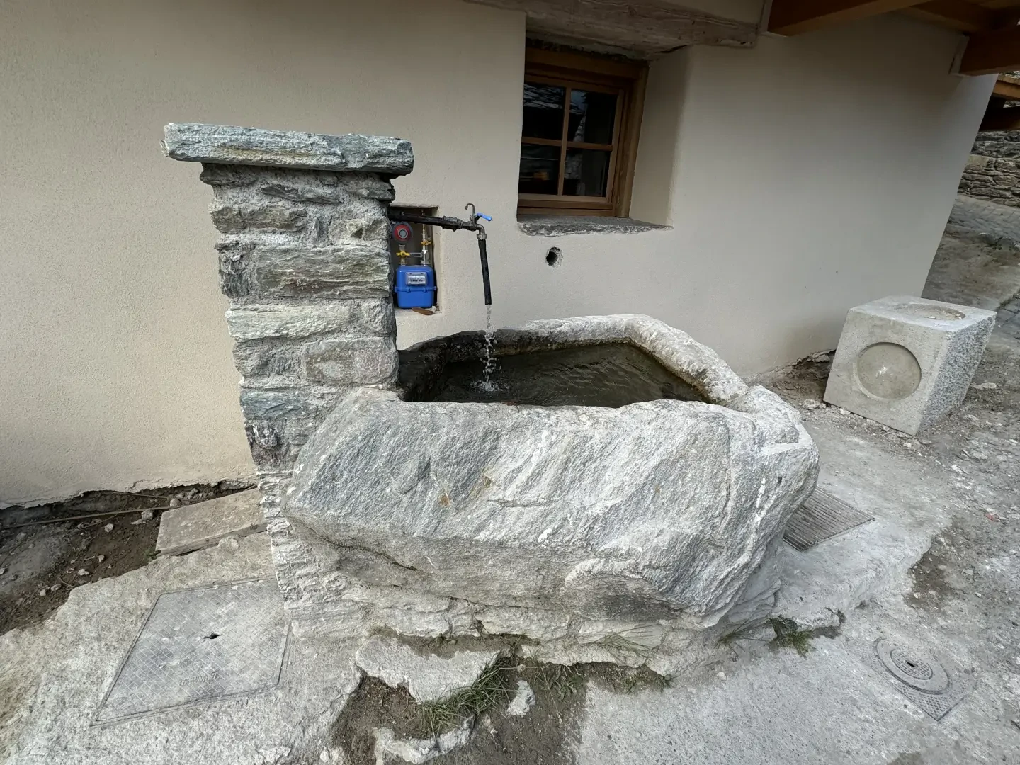
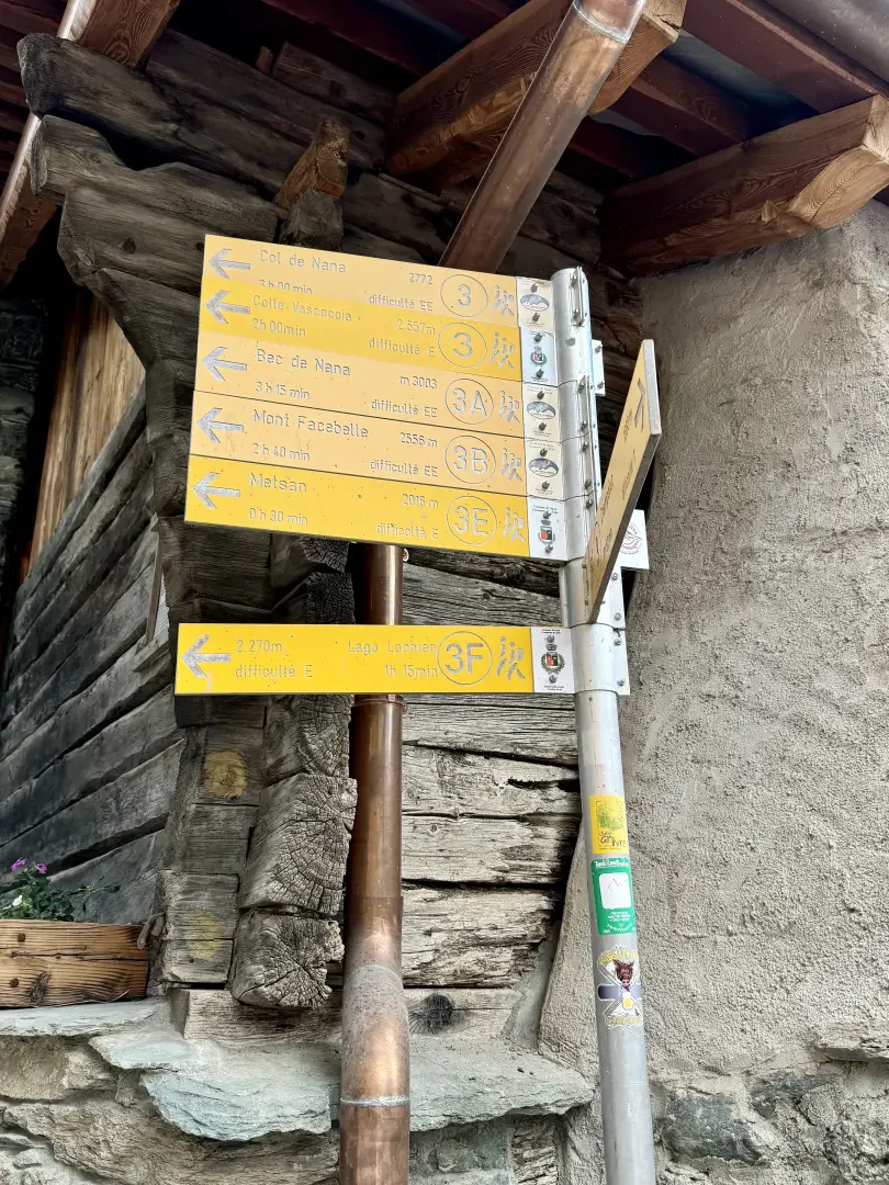
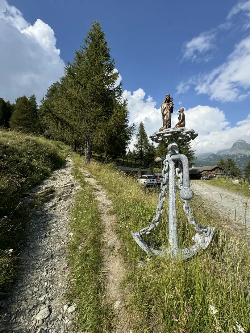
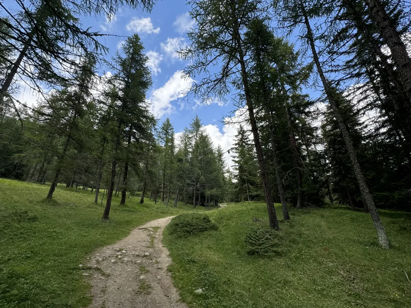
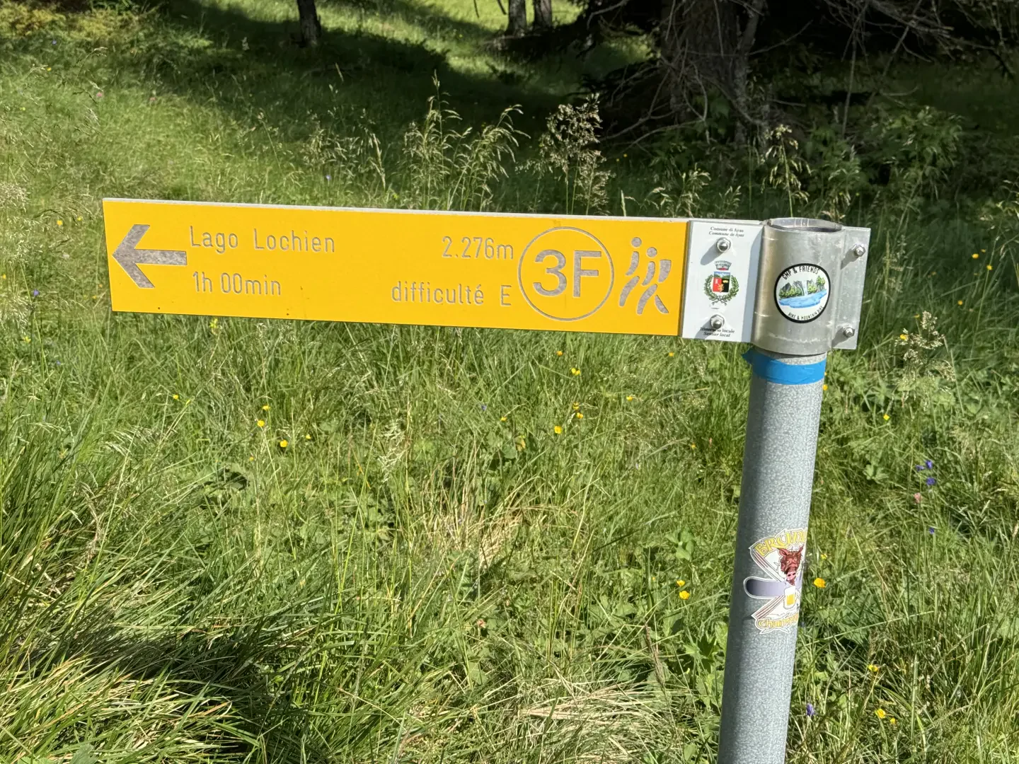
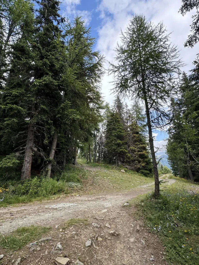
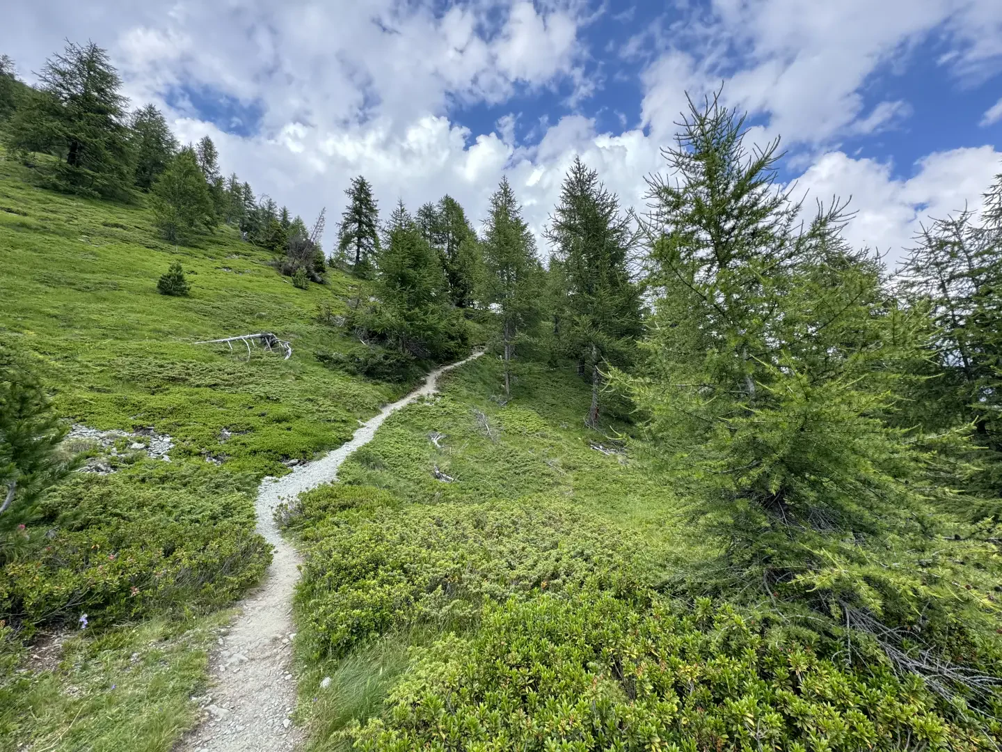
0h00' 0.00km From the car park, leave the chapel dedicated to the Immaculate Conception on the right and head towards the village. Near a fountain 💧 you will see the signposts indicating the main paths from Mandriou. Follow the signs for Lac Lochien as you make your way through the characteristic hamlets of the village. Having left the hamlets, the path becomes steeper, skirts a votive shrine and reaches the little access road to Cà Zena (1883m). Continue straight ahead on the path that leaves the pastureland and enters the larch forest. With a steady incline, you reach a first clearing and, a little further on, a post with the signs for Lac Lochien (1950m).
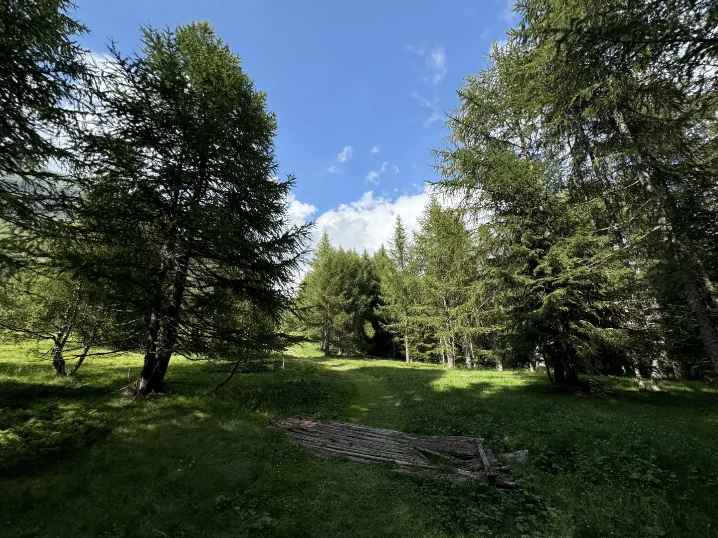
0h20' 0.58km Turn right onto the path that in a few minutes leaves the wood and leads to the spectacular Metsan meadow and Ru Courtod (1976m).
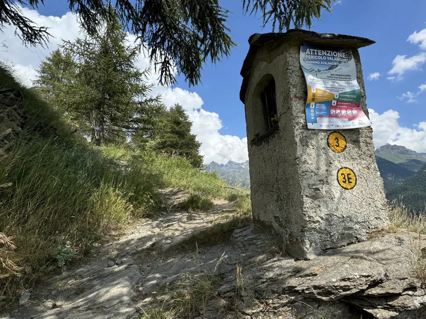
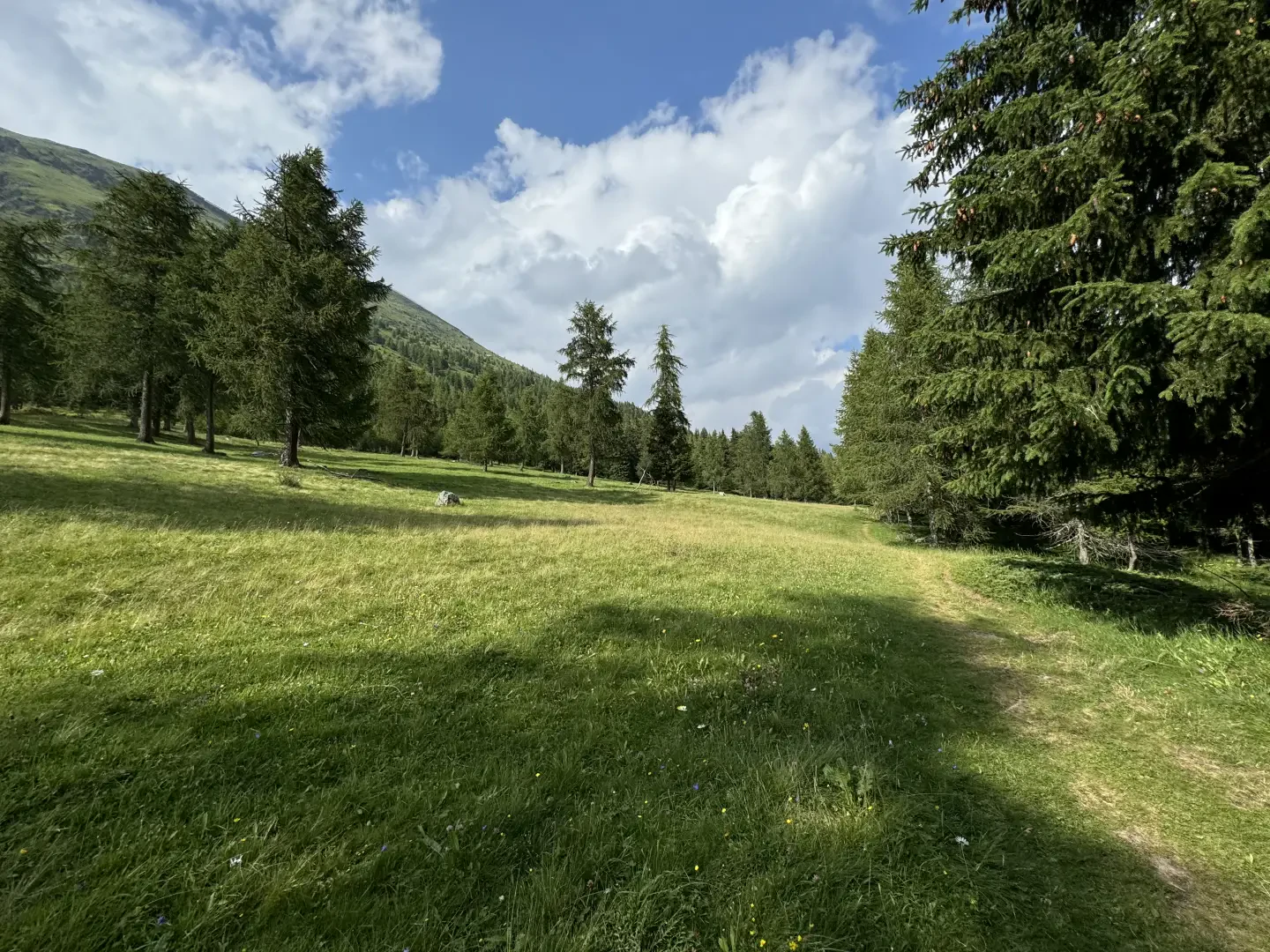
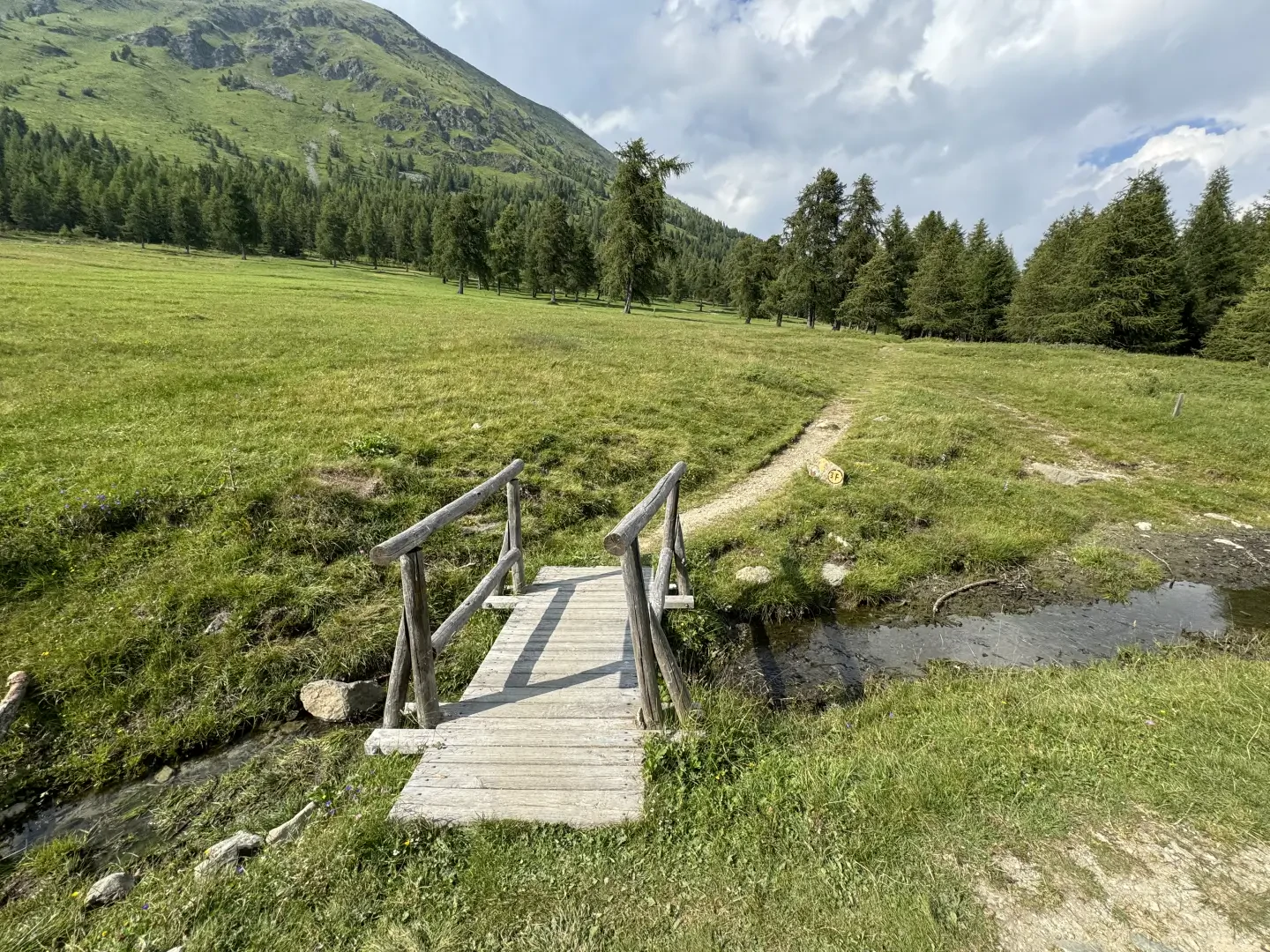
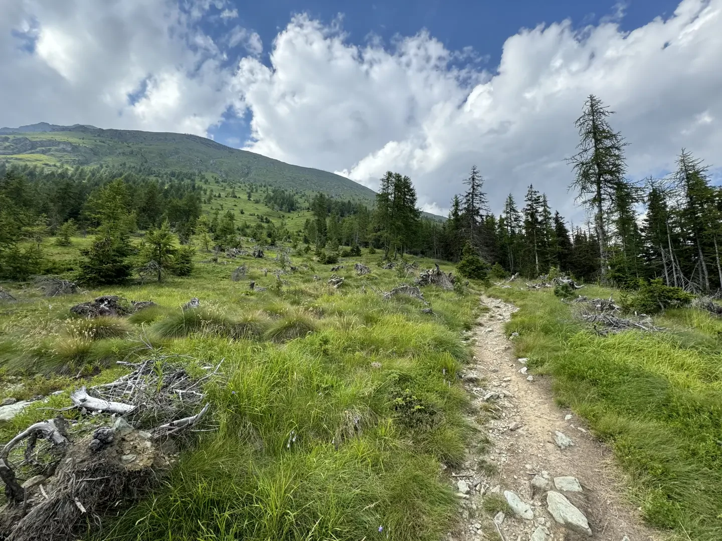
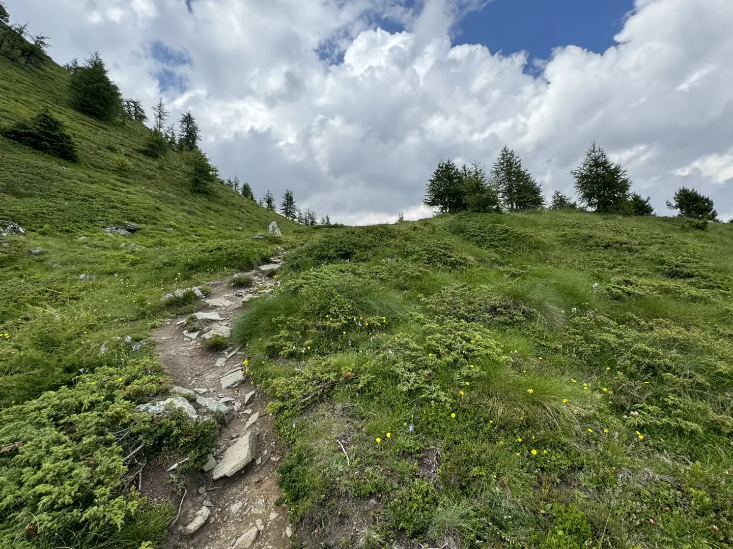
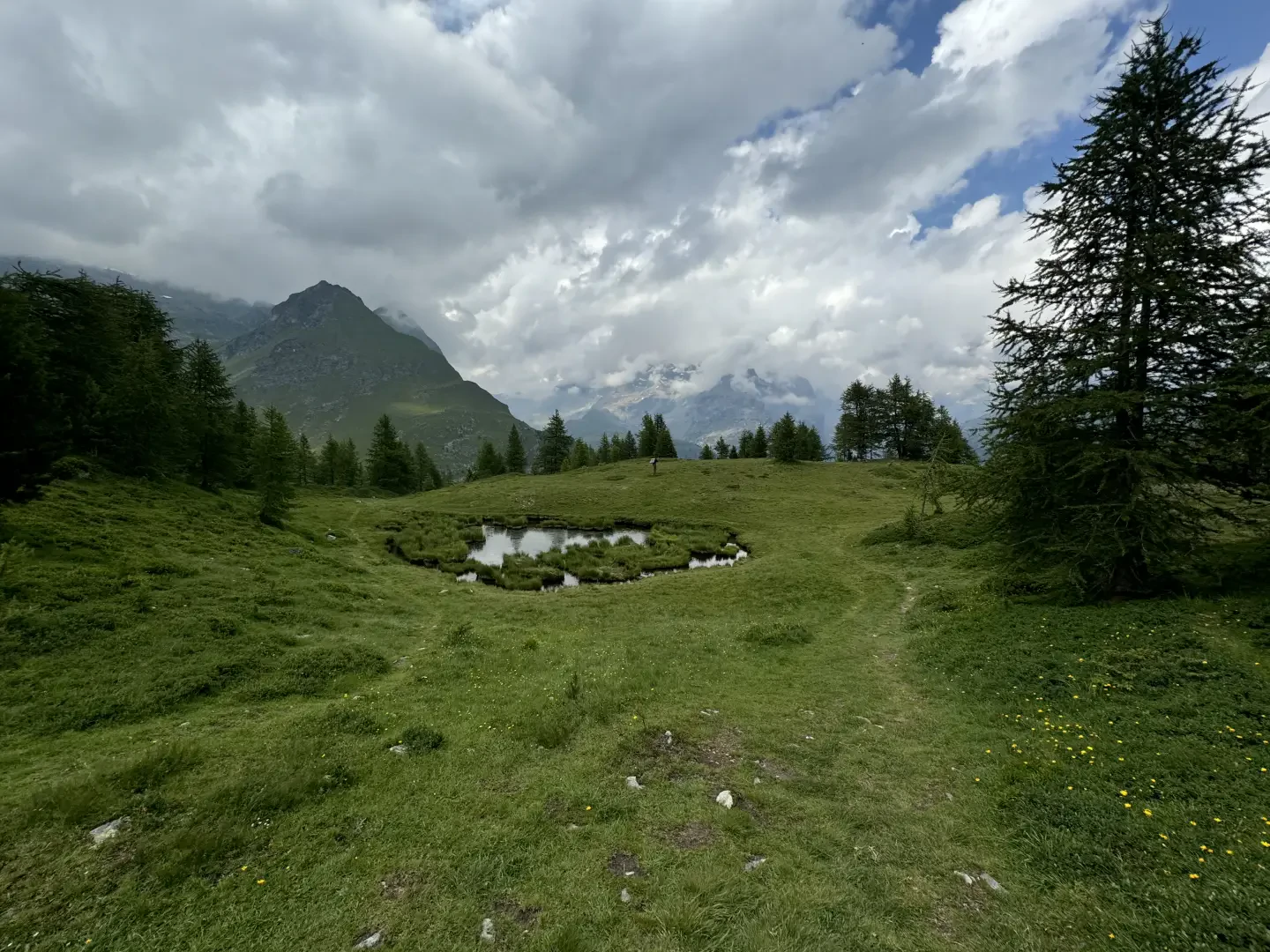
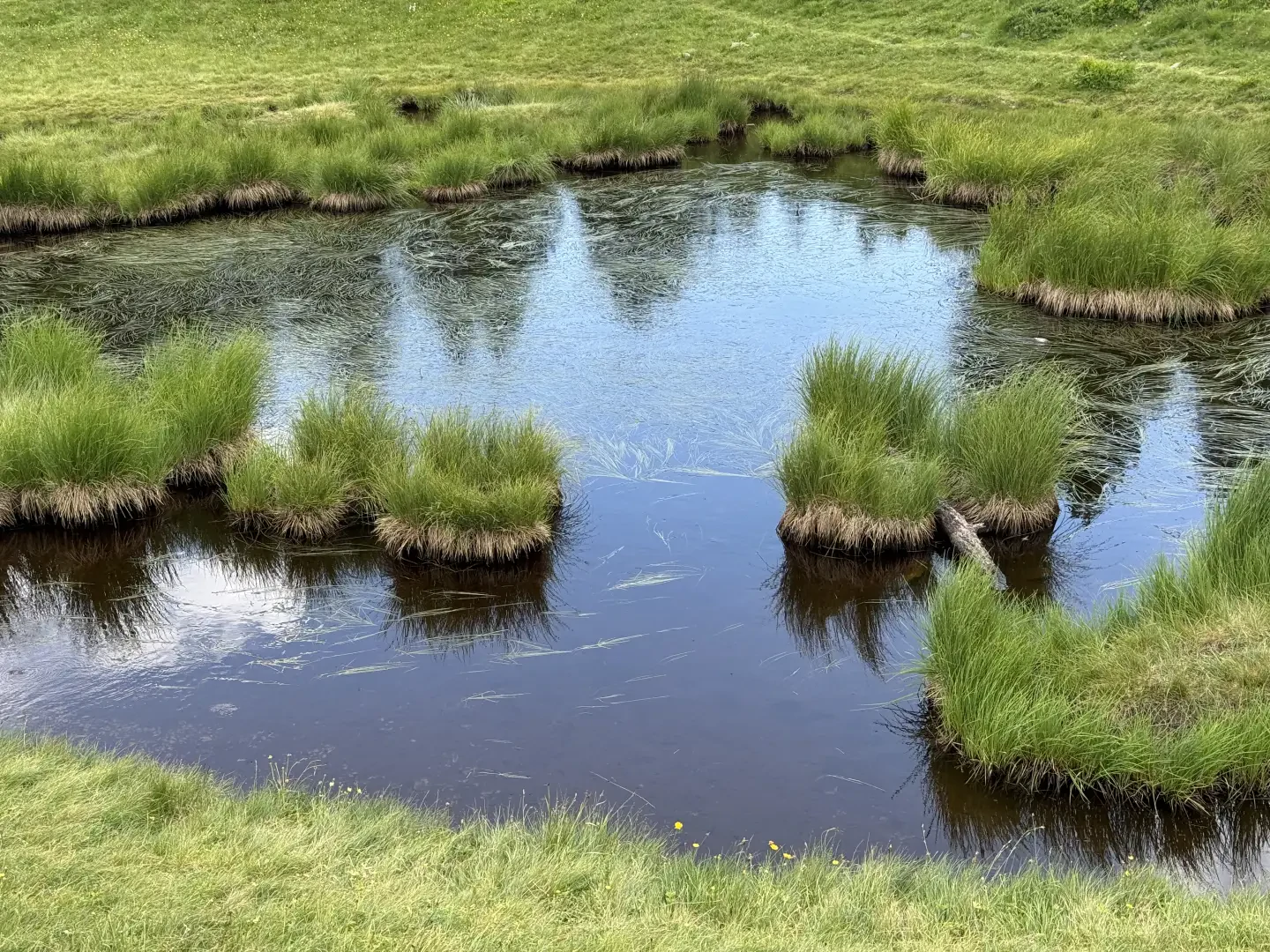
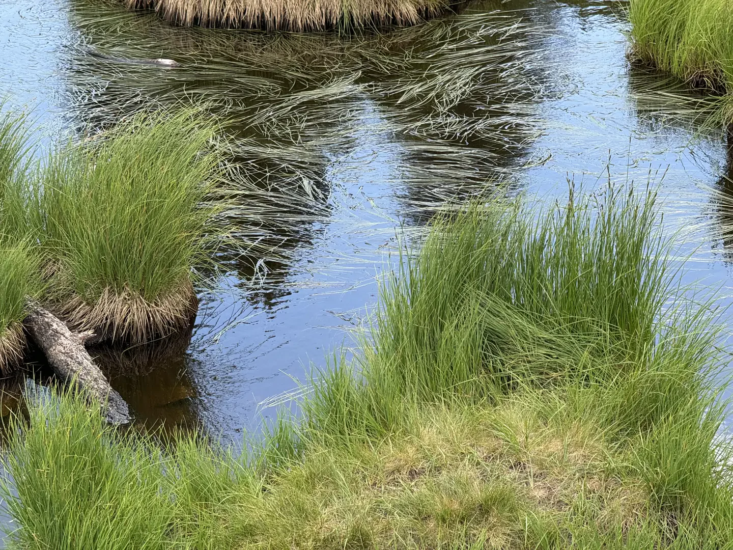
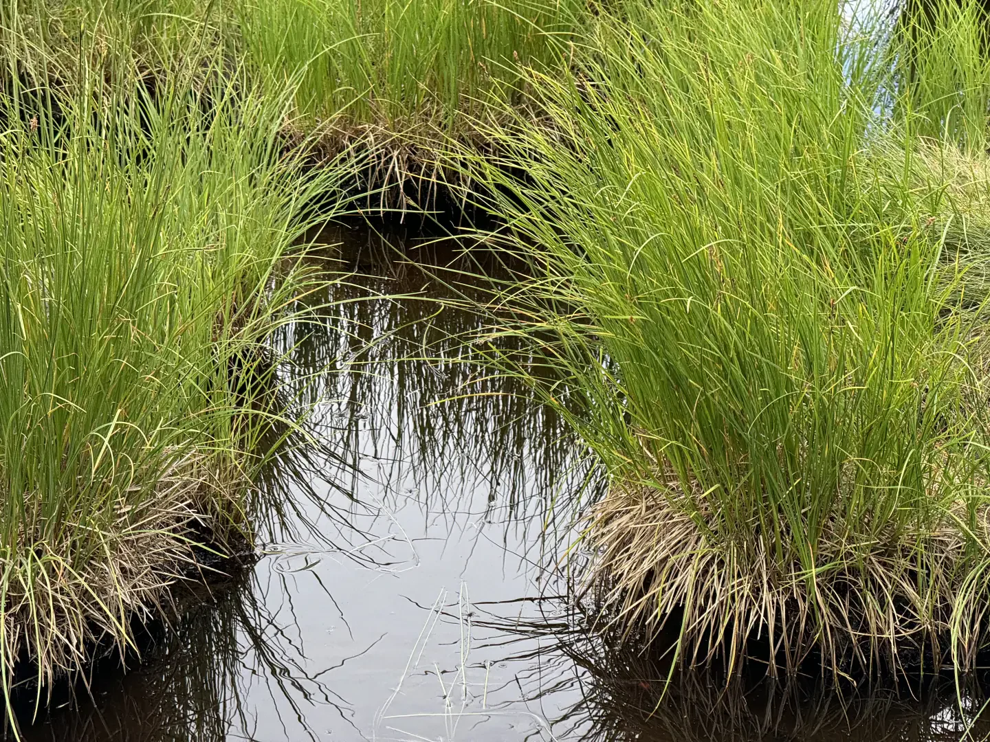
0h25' 0.80km Neglect, on the right, the path that runs alongside the ru, cross the watercourse on a wooden footbridge and continue northwards on the track that follows the edge of the forest. Leave the pastureland and enter the forest until reaching an agricultural track (2013m). Continue straight ahead on the path with a long ascending diagonal that cuts across the lower part of the south-eastern slope of Mont Facebelle, proceeding between patches of juniper (Juniperus communis) and small clusters of larch (Larix decidua). The path increases in gradient and reaches the grassy saddle of Col Lochien (2282m), where a stone cairn indicates the departure, on the left, of the trail to the crest of Mont Facebelle. Continue on level ground until you reach the pleasant lake of Lac Lochien (2276m) 1h15' 2.89km with its characteristic photogenic tufts of grass outcropping.
The return is along the same route as on the outward journey 1h00' 2.89km .
Points of Interest
Photo gallery

Comments (0)
Sign in to leave a comment